Official Length: 23km
What we walked: unknown, maybe somewhere between 25-35km total.
Start/end point: Tipperary town - Milestone, Co. Tipperary. Tipp town is easy to get to by bus or train. Further villages along the trail will be difficult to get to or from.
Trail difficulty: 2/5 (slight problems with waymarking and patches might be overgrown)
Trail quality: 2.2/5
Views/area: 2.3/5, although hard for us to say, walking in the clouds!
Camping/accommodation: At Tipp town there is definitely accommodation. During our first half of the trail, we camped near a holy well after asking a farmer if we could camp in their field.
Maps: We’ve made our own Tough Soles maps! These maps are free to use, remix, and redistribute under CC-BY 4.0. All you need to do is attribute us! Here are the Multeen Way maps, and here are all the maps we’ve made.
Here is the post from when we walked the first half of this trail.
April 10th, 2018
The Multeen Way is a short trail between Tipperary Town and Milestone. Some signs and waymarkers say that the finish is in Upperchurch (which is a bit more than the bend in the road that Milestone is), but the last segment from Milestone to Upperchurch is actually part of the Ormond Way. The Multeen Way is part of the Beara-Breifne Way, following the footsteps of Donal Cam O'Sullivan Beare on his 500km exodus from the Beara peninsula to O'Rourke's Castle Leitrim in 1601.
We had originally attempted to do this trail as our fourth waymarked trail, nearly a year ago. We walked about half of the trail, from Tipperary Town to Cappawhite, and found that the trail had been heavily diverted, as a wind farm was being built near the trail's original route. We'd had a fairly bad time on the first half of the Multeen Way - extremely heavy road walking, a very poor night's sleep, and a few bullock-infested fields had demotivated us quite a lot. We were looking forward to reaching Cappawhite, as the trail was meant to be more off-road through forestry. Sadly, when we reached the town we found many "Caution: Diversion in place" signs.
While I definitely appreciate the care given to walkers in actually placing a diversion, we took it as our last straw and decided to come back another time. We didn't really mean it to be eleven months, but here we are.
We arrived back to Cappawhite on a foggy, overcast morning. We didn't see any signs for a diversion, so I began to feel cautiously optimistic. After a chicken fillet roll (approximately equal to fruit cake in terms of walking fuel), we headed off.
It's a fairly slow but consistent climb out of Cappawhite onto Red Hill. You pass a church, the windows boarded up and the old stained glass designs painted on the board, a shrine with no statues.

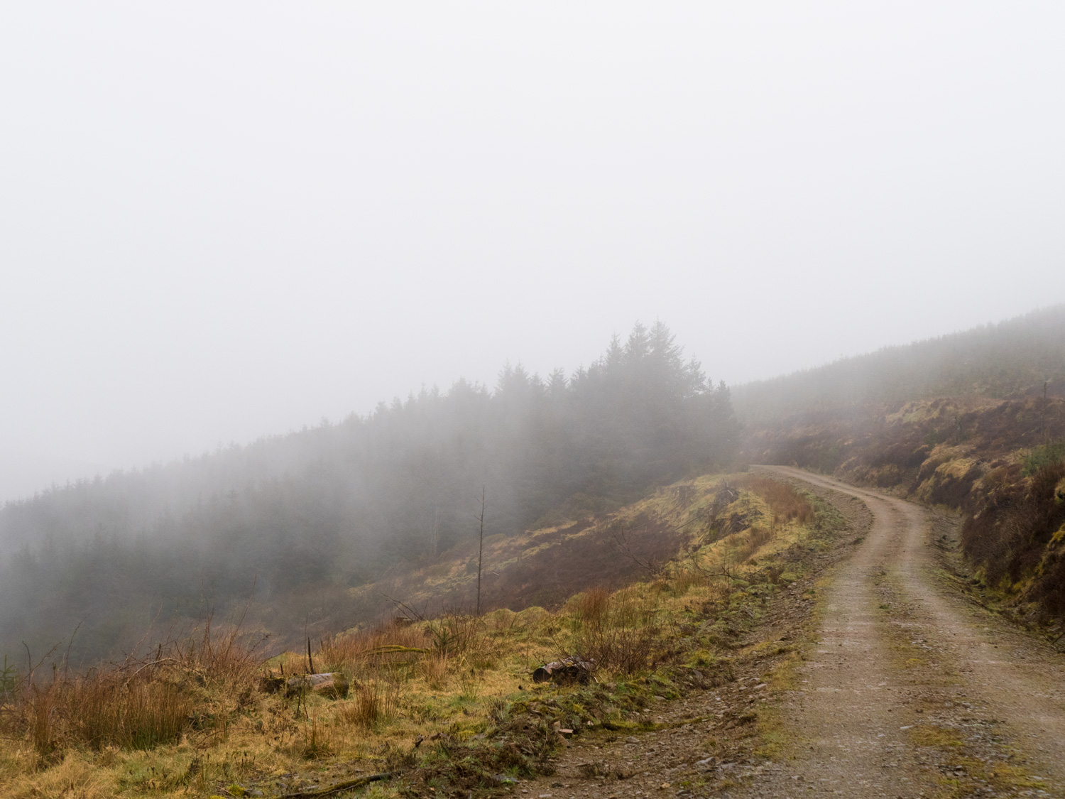
We walked straight up into the clouds. From the top of Red Hill, you should be able to see to seven counties - Clare, Offaly, Kerry, Cork, Tipperary, Limerick and Waterford.
We saw exactly zero - we couldn't even see the town, less than two kilometres away. I can't remember ever having such low visibility on any of our trails - we could barely see about ten or fifteen metres ahead. We had literally walked into a cloud.
The walking itself was almost exclusively wind farm access roads. A lot of our conversation related to the size and speed of various turbines, particularly what the speed of the ice flying off the end would be. We spent most of the day trying not to look up when passing underneath one of the turbines of Damocles.
Sometimes, we'd descend a little bit and get really interesting views from the cloud line. We were really walking through the sky.
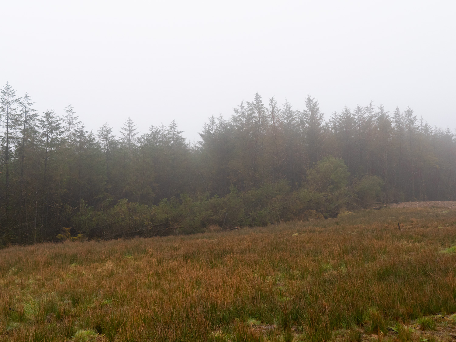


We had almost no company on this walk at all - some men doing various construction-related staring at the ground from within steamrollers or diggers, and a pair of deer. The forestry that used to be here has been felled, and various flying creatures don't really like being around wind turbines, so the population of birds was quite limited as well.
When we’d set off that morning we’d been unsure of where we’d be finishing - the info board in Cappawhite stating Upperchurch as the end, the online details saying Milestone. On reaching Milestone, we were greeted with an end sign for the Multeen Way (yay!), and a start sign for the Ormond Way (what?). The Ormond Way wasn’t on any list of ours, but there it was, with Elvis guiding the way.
Admittedly, last year we’d heard of this trail when we’d reached Portumna at the end of the Hyman Way. At the time it was just a section of the Beara Breifne Way, but a couple of emails later we discovered that this year, at some point, it is being promoted to full National Waymarked Trail status.
With some afternoon to pass, we decided to walk the next short section on to Upperchurch, an easier end point for now, and start point for the future.
Almost immediately we regretted it. Slowly we zig-zagged across over-saturated, peety fields. Our feet didn’t stay dry for long, and our pace dropped to a trudge. With the long winter and wet weather that had preceded us, it was no wonder we were finding it hard going.
A short road section brought us into the village of Upperchurch, and as we walked in we passed a building called “Upper Limits”. I joked that it was a climbing wall, and Ellie said something to the affect of, “there is no way, no way whatsoever, that there is a climbing gym in this tiny village, in the middle of no where Tipperary.” One google-search later and I’d won myself a pint. Ellie still doesn’t believe it actually exists.
Once in Upperchurch, we raided the local shop/petrol station/undertakers for food and sat just outside, on a bench that looked strangely similar to a church pew.


And here end’s our walk of the Multeen Way. Tipperary Has the highest number of trails per county, and has a lot of fantastic walking in general. The Multeen Way was an OK wander, it won’t go down as our worst trail, but compared to everything that’s available in the area, there are many better adventures to be had.
If you like our blog you can subscribe to it here!
If you really like it, you can support us on Patreon