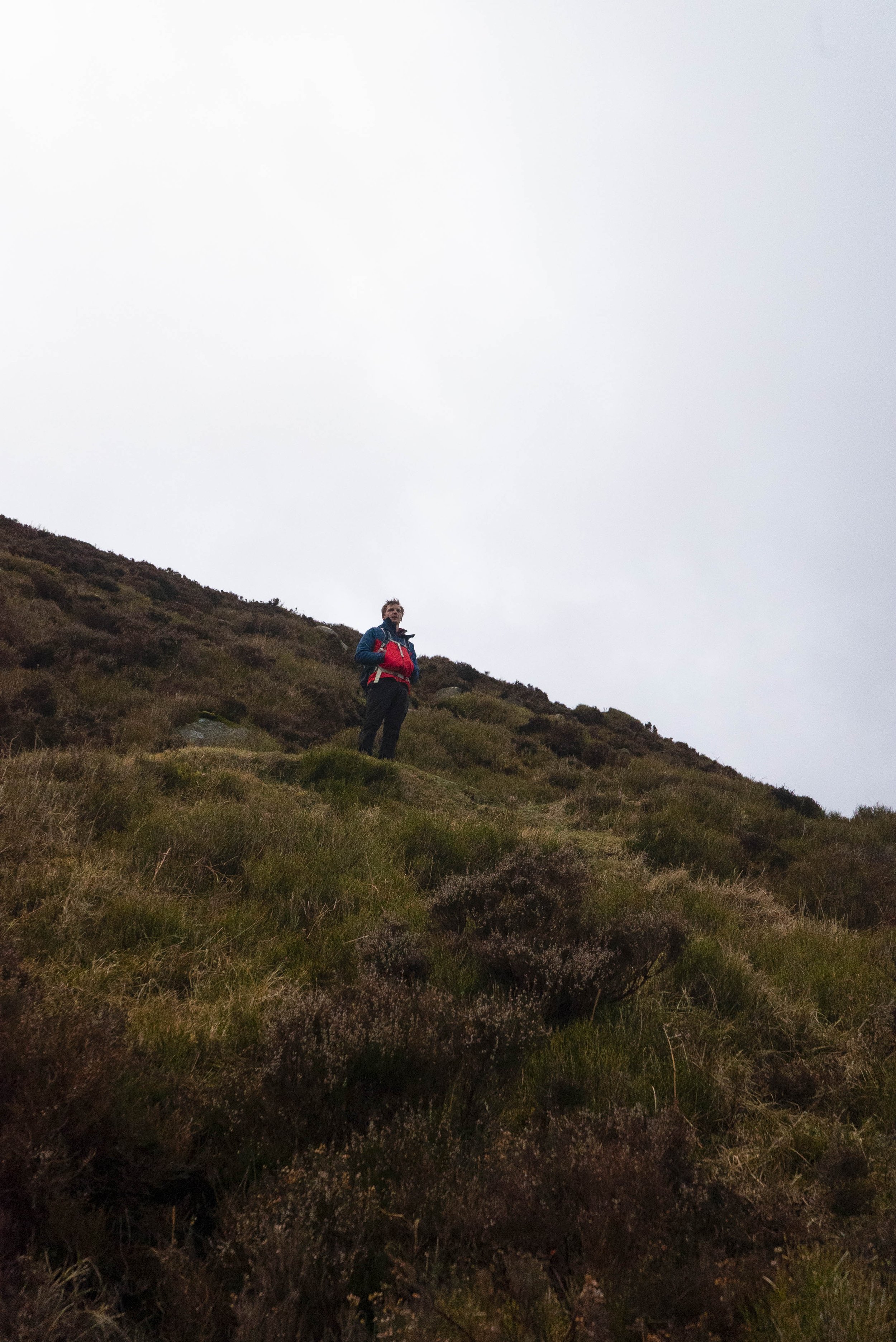
As I share more hillwalking routes and hiking trails, having an official route grading system helps to clearly define what kind of terrain you might meet underfoot, how challenging the trail is, and what skills you might need to complete the route.
Mountaineering Ireland have set out a grading system to provide a national benchmark for Hillwalking in Ireland. This is the grading system I will be using across Tough Soles, with some additions. Extra info will be given on the breakdown of each trail as to where within each grade a trail or mountain might fall, and I will be using some language put forward by Sport Ireland on Trail Grades, such as their definition of Multi-Access trails.
The spectrum of grading
While distance is included in the grading system, it’s not a reliable measure of the level of difficulty. I have done some very short routes that I would list as Strenuous, while some long multi-day trails are definitely easy routes. Grading is a spectrum. Trails wear and change over time, and definitions that were once applicable may get worn away.
Hillwalking & Trail Grades
There are 5 grades that I will be using to categorise the hillwalking and trails that are on this website:
Multi-Access
Easy
Moderate
Difficult
Strenuous
Multi-Access
Flat smooth trails, suitable for all users including people with reduced mobility, wheelchair users, people with a vision impairment, using crutches, with a buggy, with small children, older people and so on. Normal outdoor footwear can be worn.
For example: Multi-Access Trail at Mullaghmeen Forest, and Belleek Multi-Access Trail.


Easy
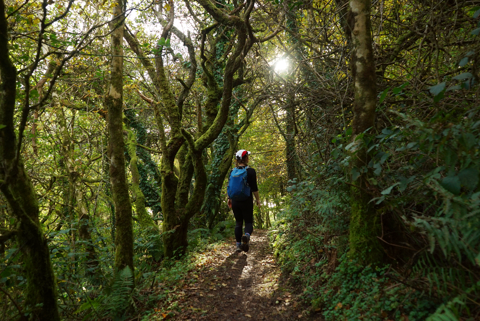
These routes may be signposted trails but will still require some basic navigation skills and walking experience. Mainly on easily identifiable paths, with good underfoot conditions. Can include some open countryside with some rough ground and moderate ascents.
For example: The Spinc walk in Glendalough and Diamond Hill in Connemara National Park
Time: 2-5 hours Height gain: 250-500 metres Distance: 5-12km


Moderate
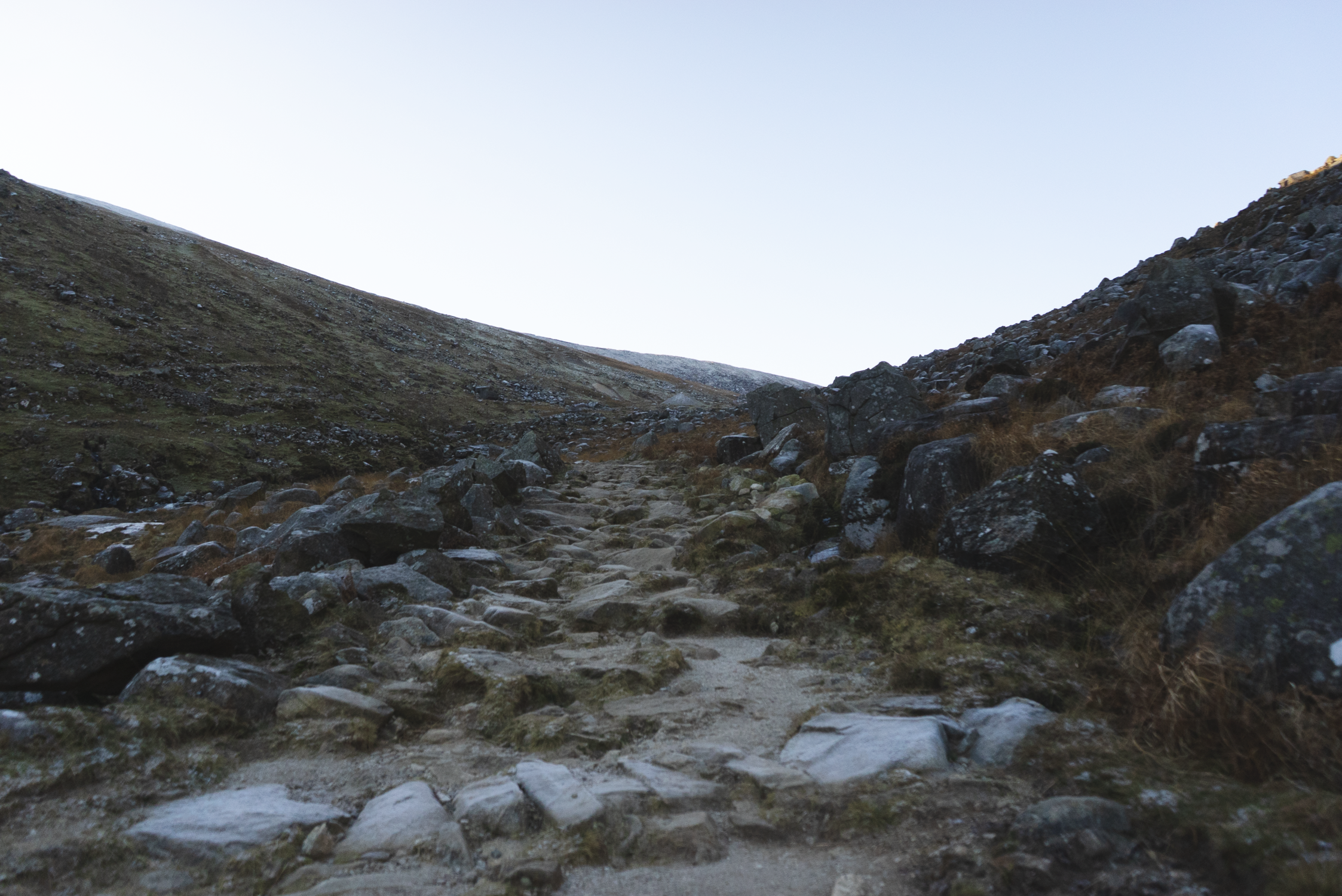
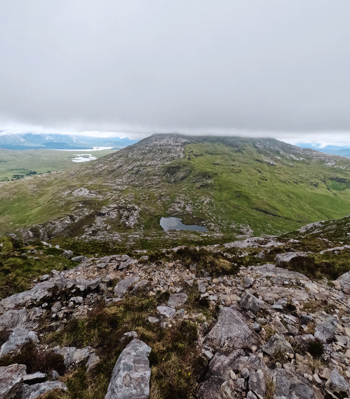
These routes include more informal paths, rougher, boggy and more uneven terrain with the possibility of rocky, moderately steep ground.
For example: Arderin in the Slieve Blooms, Knockmealdown Mountain in Waterford/Tipperary, and Slieve Binnian in the Mournes
Time: 5-7 hours Height gain: 500-800 metres Distance: 10-15km
Difficult
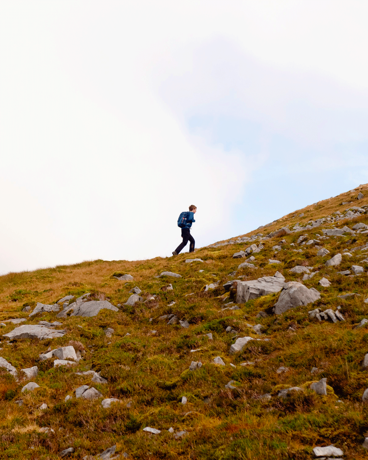
Good hillwalking experience with capable and proven navigational skills in all weather conditions required. Underfoot conditions can be rough and uneven, with the possibility of prolonged rocky, steep sections, and mountain terrain without clear paths. An ability to deal with mountain hazards, steep ground and scree is essential.
For example: Carrauntoohil, Mweelrea, Lugnaquilla
Time: 6-8 hours Height gain: 800-1000 metres Distance: 12-20km

Strenuous
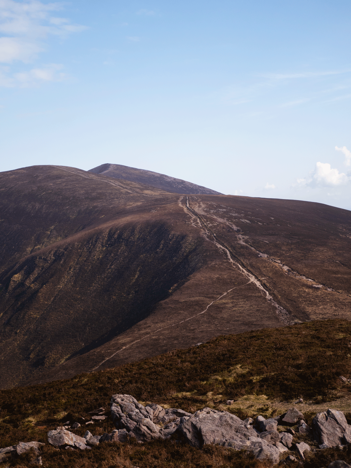
A good level of fitness, hillwalking experience and proven navigational skills in all weather conditions are essential requirements, as is an ability to deal with complex mountain terrain including open moorland, mountain plateau, rocks and cliffs without clear paths. There may be some exposure and a need for some basic scrambling skills. Route finding challenging so close attention to navigation is key.
For example: Eastern Reeks ridge, Coomloughra Horseshoe in the McGillycuddy Reeks
Time: 8-10 hours Height gain: 1000-1500 metres Distance: 12-25km


NOTES ON WEATHER
The above grades are all based on the assumption the route can be completed in reasonable weather conditions. Adverse weather and changes in ground conditions can increase the risk and grade of the walk substantially.
All the above grades exclude hiking in full winter conditions where very low temperatures and substantial snow and ice may be encountered.
The rule of thumb for temperature when in the mountains, is that with every 100m you climb, the temperature decreases by 1°C.


