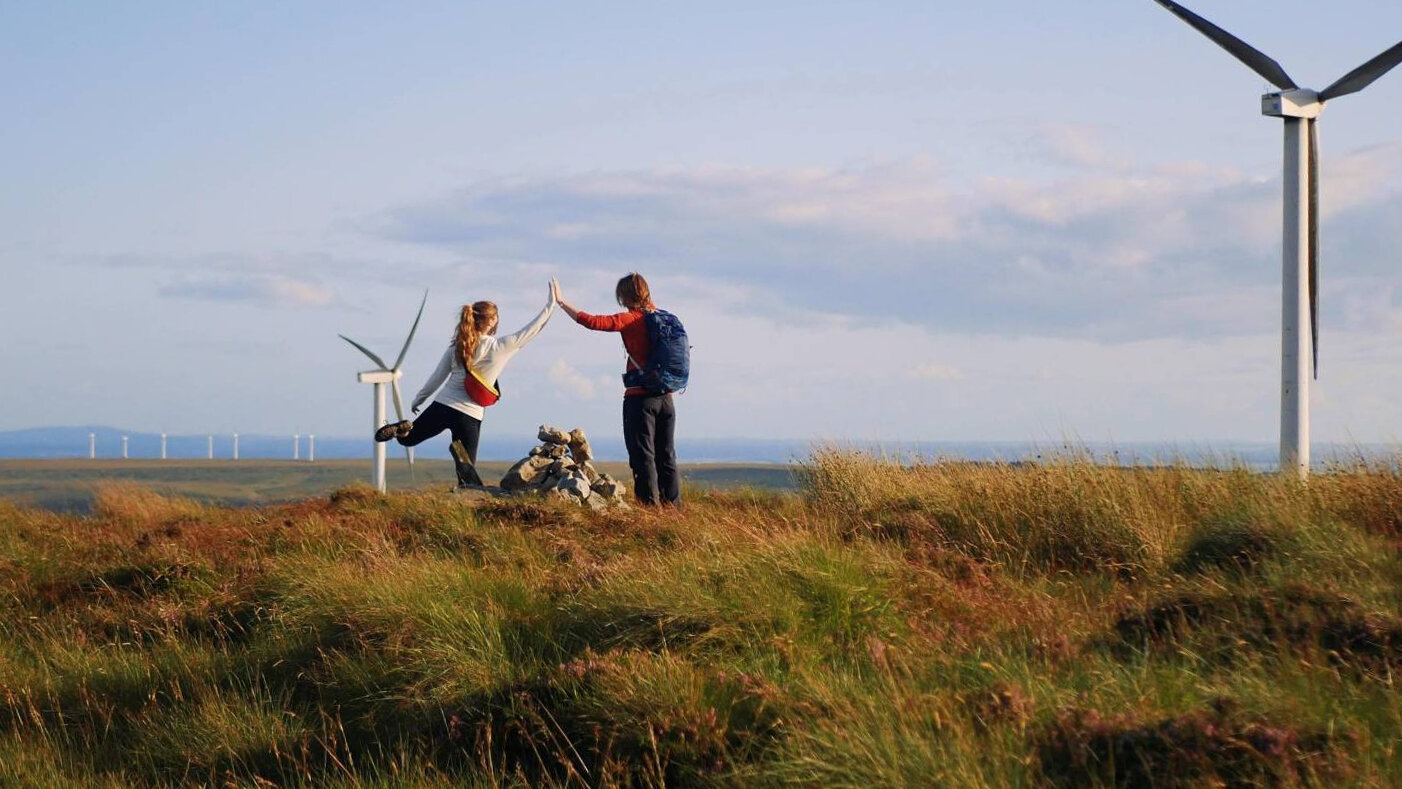
The County High Points
The island of Ireland is divided into 32 counties - 26 in the republic, and 6 in Northern Ireland. Each county has its unique features - be it rivers and lakes, rugged sea cliffs and sandy beaches, or amazing mountains and valleys. The “County High Point” list is, as the name suggests, a project where you visit the highest point in each county. How high these ‘high points’ are varies widely and wildly: from climbing Ireland’s highest peaks, to wandering around on boggy hills in search of small cairns.
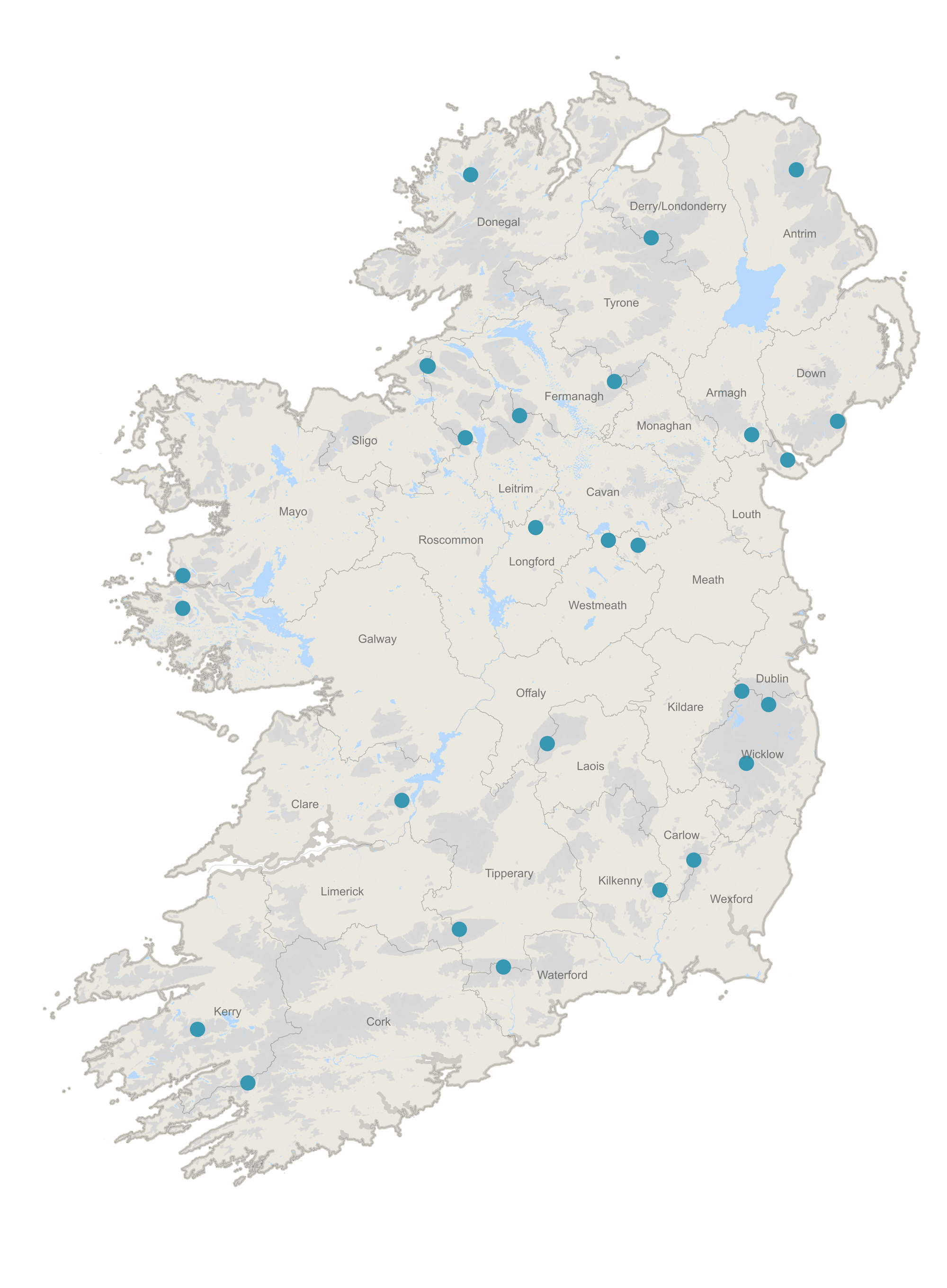
An Overview of the High Points
A look at the full list of county high points, and some extra thought on the project.
Co. Tipperary & Limerick: Galtymore
For the Tipperary & Limerick high point, we climbed Galtymore from the Black Road. At 918m, it is the third highest of the mountains in this project.
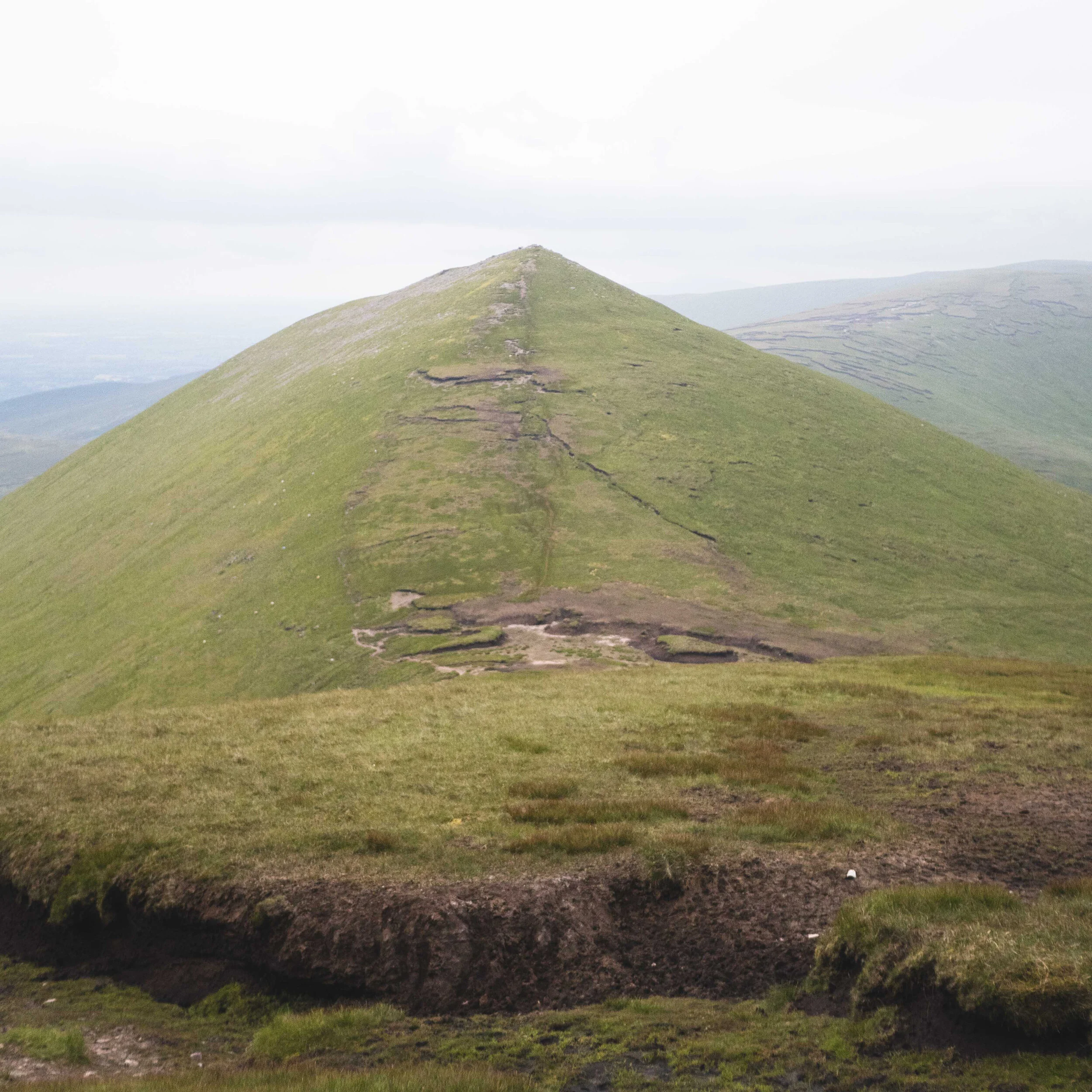
Co. Cavan & Fermanagh: Cuilcagh
Cuilcagh is the high point of both Cavan & Fermanagh. In our search for the right way up this mountain, we actually took two attempts to get there.
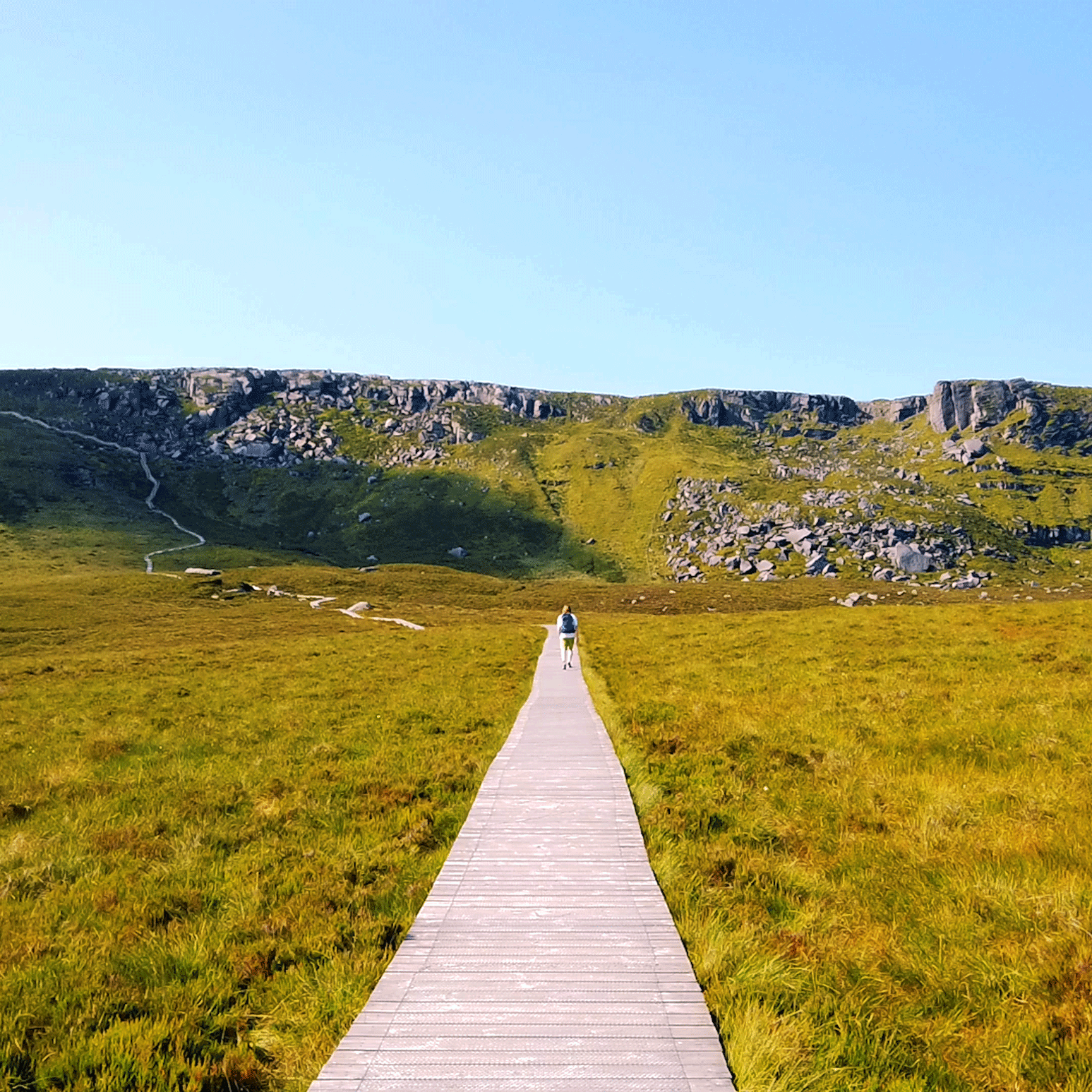
Co. Roscommon: Seltannasaggart
At 412m, Seltannasaggart is one of Ireland's lower county high points - but still featured some beautiful views. We approached Seltannasaggart along the Miner's Way & Historical Trail from the south west side of Corry Mountain Bog.

Co. Longford: Corn Hill
As the third lowest highpoint, Corn Hill sits at 278m. A stand alone hill in the north east midlands, this short climb is approachable and family friendly.
Co. Westmeath: Mullaghmeen
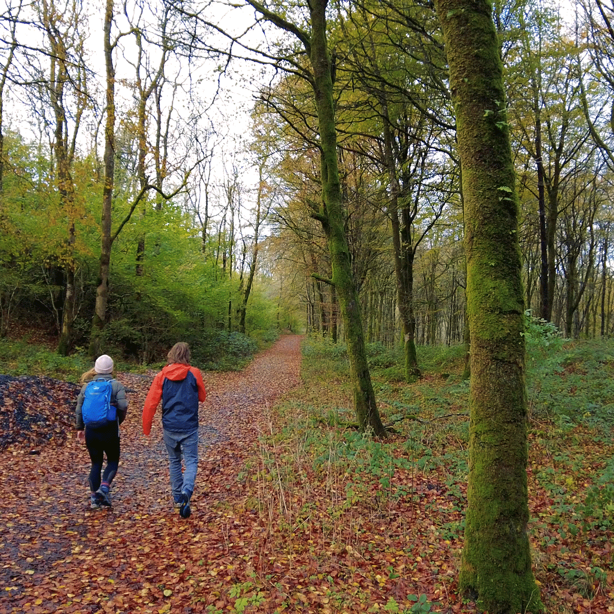
Mullaghmeen is Westmeath's County High Point, and also the lowest County High Point on our list. However, what is small is mighty, and we had an amazing afternoon walking through the forest that now covers Mullaghmeen.
Co. Waterford: Knockmealdown Mountain
Knockmealdown Mountain is the tallest mountain in the range of the same name - the Knockmealdown Mountains. At 792m, it’s the highest point in Co. Waterford, and the 7th tallest on the County High Points list.

Co. Kilkenny: Brandon Hill
Brandon Hill is the highest point in Co. Kilkenny. Sitting on the western banks of the River Barrow, the river cuts the hill off from the Blackstairs Mountains, resulting in this lovely little hill sitting alone.

Co. Kildare: Cupidstown Hill
Cupidstown Hill is the easiest County High Point, and general hill, I think Carl and I have ever walked. Sitting in between two small villages of Kilteel and The Lamb, it’s only a few minutes from the N7, or the town of Naas.

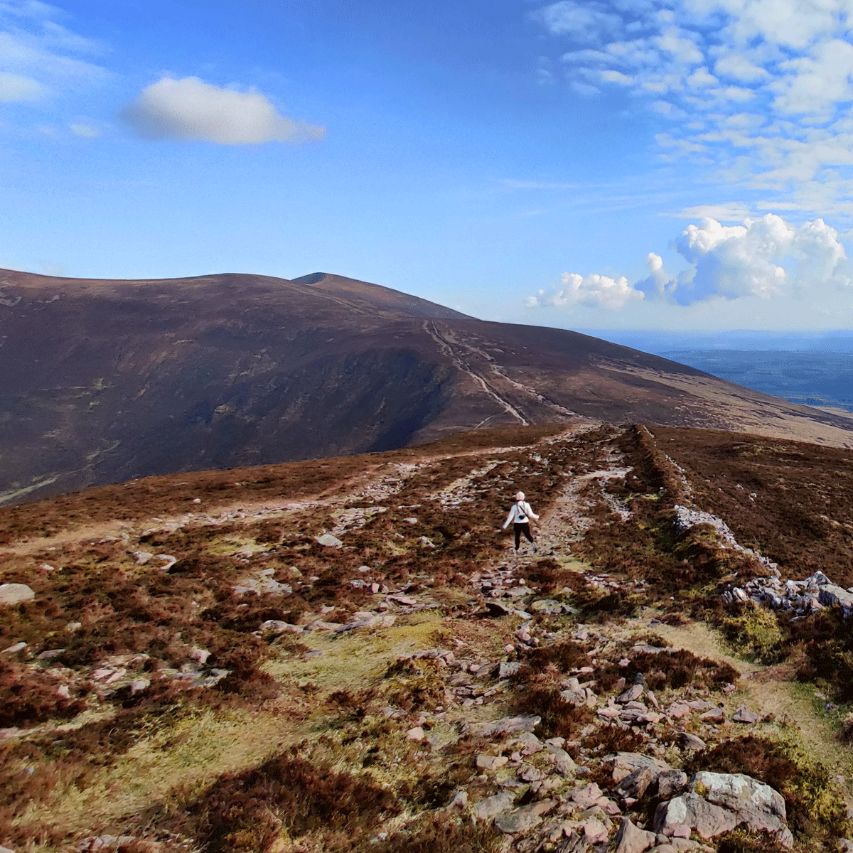
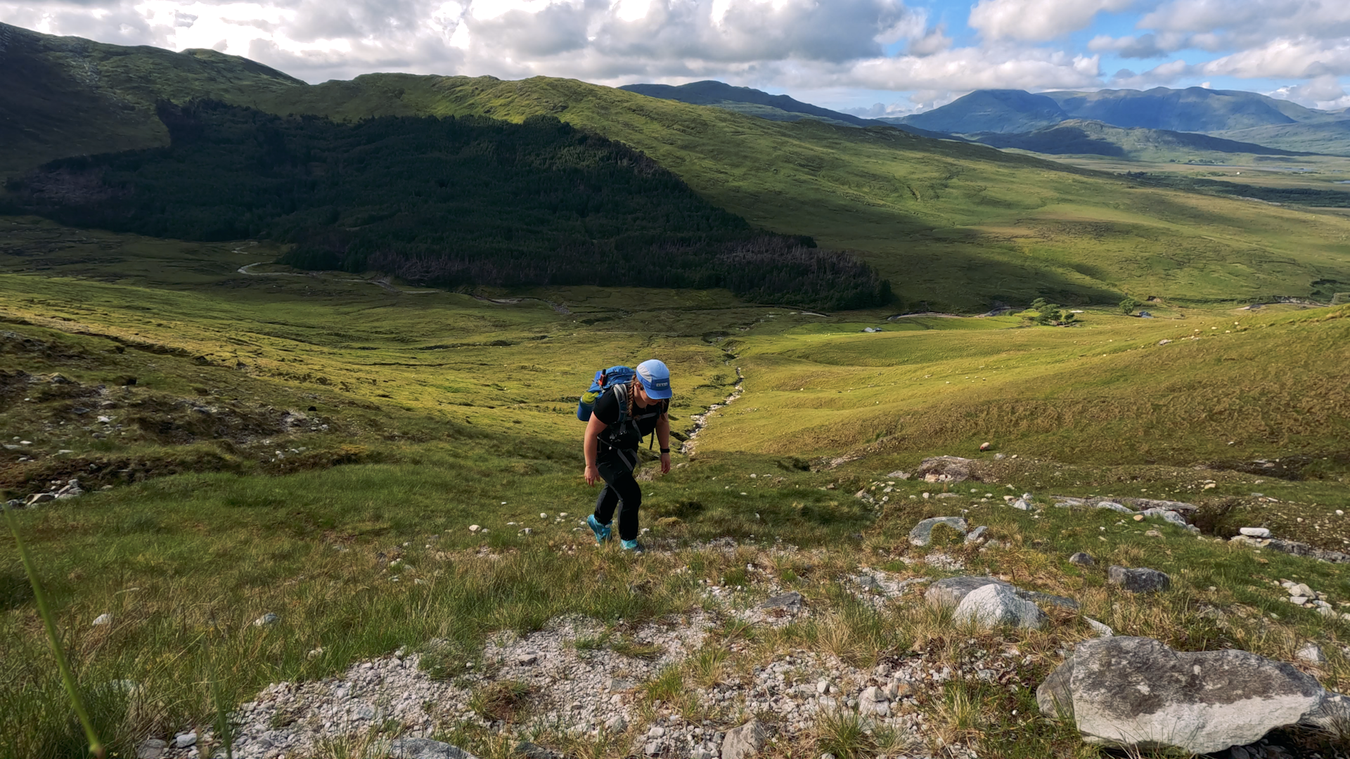
Co. Leitrim & Sligo: Truskmore
Truskmore is the County High Point of Sligo and Leitrim, and is the highest point in the Dartry Mountains. A 647m mountain, this hike provided some truly spectacular views.

Co. Laois & Offaly: Arderin
Arderin is the county high point of both Laois and Offaly, sitting in the southerly half of the Slieve Bloom mountains (which it is also the tallest of).
Co. Clare: Moylussa
Moylussa (531m) stands on the western bank of Lough Derg, overlooking this beautiful waterway, as well as giving impressive views into Limerick and Tipperary. On a clear day, Slievermines, Keeper Hill, and the Galtees are all visible from the summit

Co. Dublin: Kippure
Kippure sits on the edge of the Dublin and Wicklow Mountains, pushing the border of Dublin to it’s most southerly reaches.
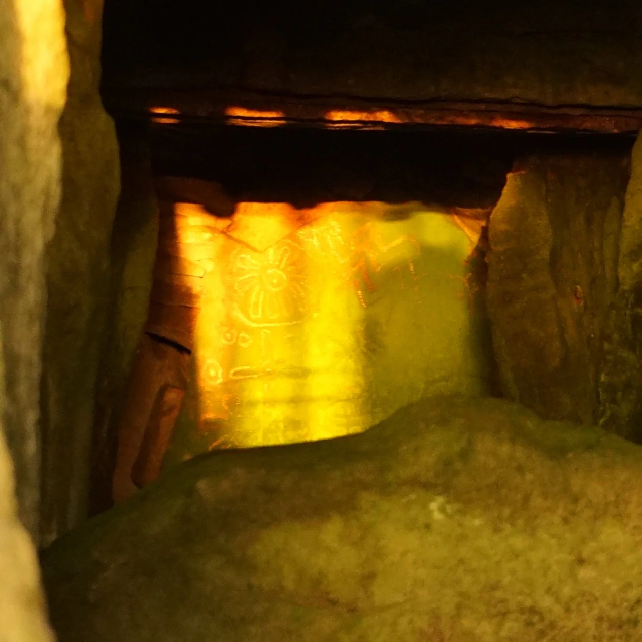
Co. Meath: Cairn T, Loughcrew
Sliabh na Caillí, or the hill of the witch, is crowned by a neolithic tomb known as Cairn T. Ireland’s second-lowest county highpoint, the incredible history associated with the area keeps you lingering far longer than the short walk in requires.
Co. Louth: Slieve Foye
Slieve Foye is a small but mighty hill. Standing at 587m, it’s the highest point in the Cooley Mountains.
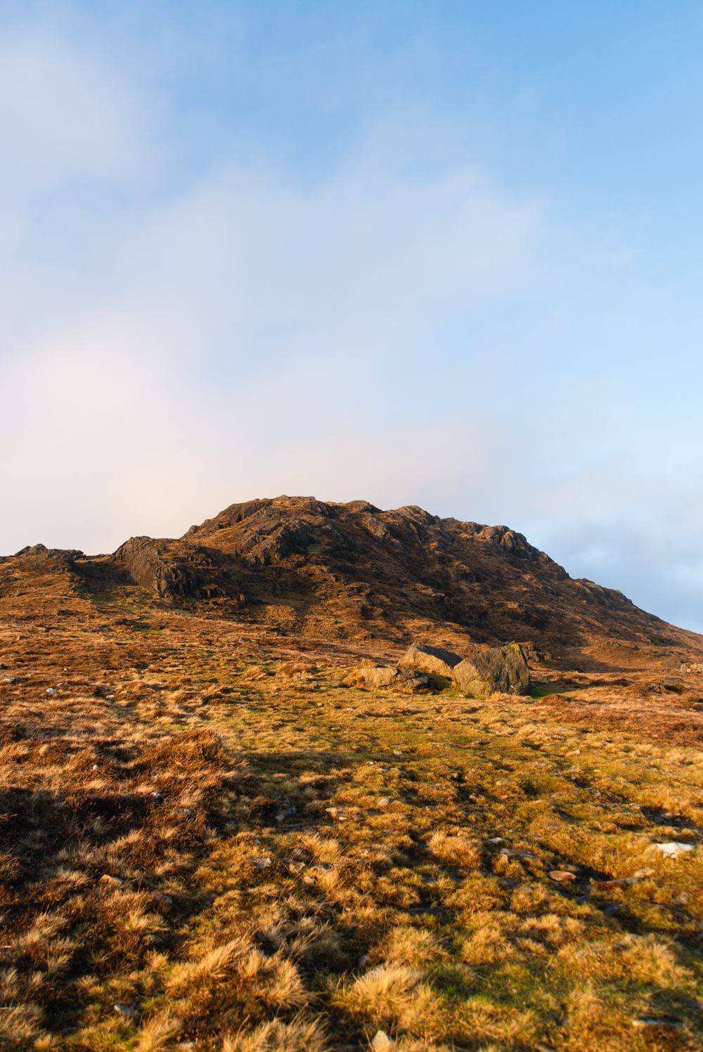
Co. Galway: Benbaun
Benbaun is the highest summit in Connemara, and all of Galway. love the rugged nature of the Bens, and the wild, windy landscape is inspiring.
Breakdown of Hillwalking and Trail Grade / Difficulty
The majority of the County High Points of Ireland fall into the below categories. Find the full hillwalking grades breakdown here.
Easy: These routes may be signposted trails but will still require some basic navigation skills and walking experience. Mainly on easily identifiable paths, with good underfoot conditions. Can include some open countryside with some rough ground and moderate ascents.
Examples include: Corn Hill in Longford, Moylussa in Clare, Brandon Hill in Kilkenny.
Moderate: These routes include more informal paths, rougher, boggy and more uneven terrain with the possibility of rocky, moderately steep ground.
Examples include: Arderin in the Slieve Blooms and Knockmealdown Mountain in Waterford.
Difficult: Good hillwalking experience with capable and proven navigational skills in all weather conditions required. Underfoot conditions can be rough and uneven, with the possibility of prolonged rocky, steep sections, and mountain terrain without clear paths.
Examples include: Carrauntoohil, Mweelrea, Lugnaquilla