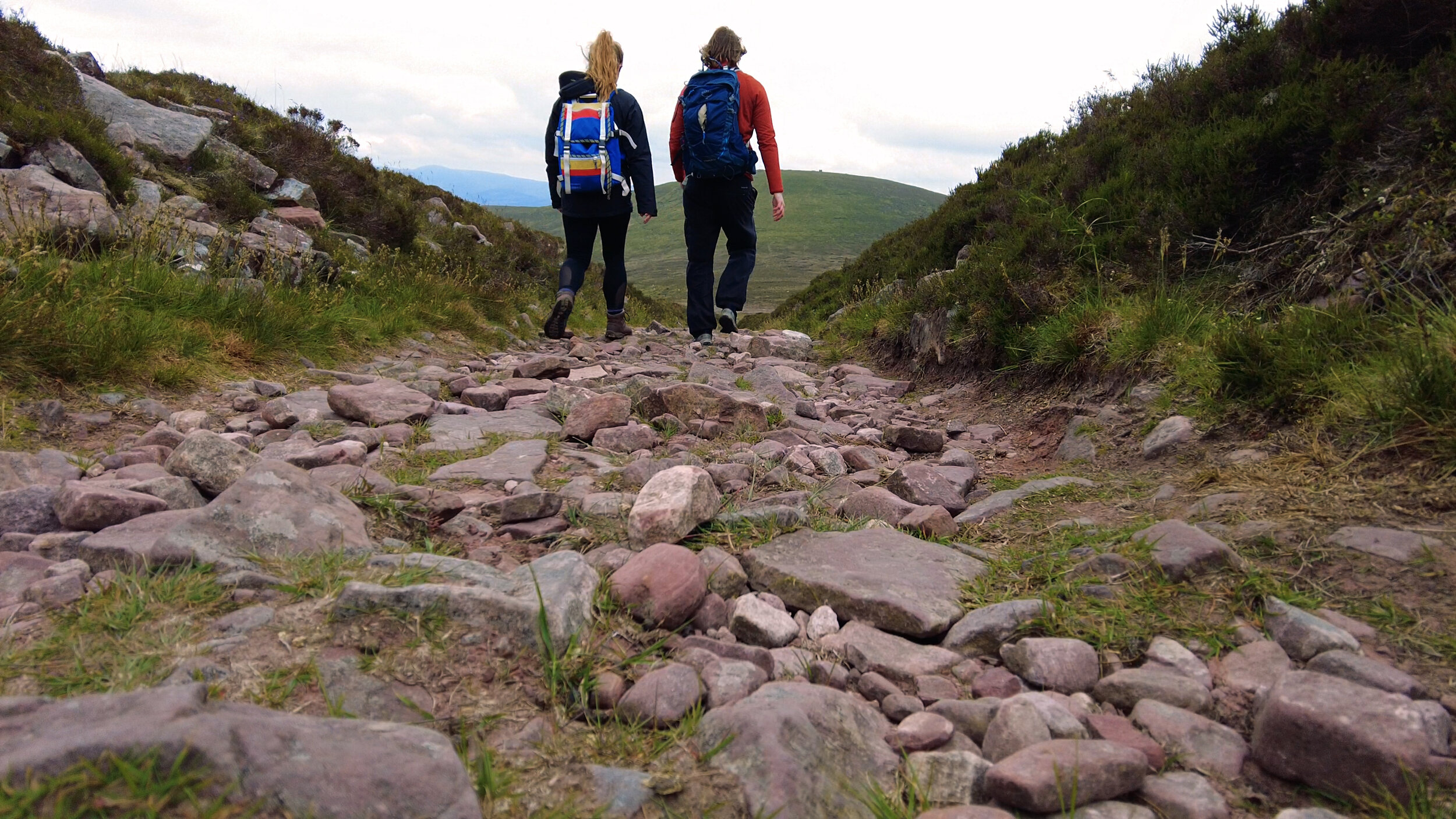
The island of Ireland contains 32 counties - 26 in the republic, and 6 in Northern Ireland. Each county has its unique features - be it rivers and lakes, rugged sea cliffs and sandy beaches, or amazing mountains and valleys. The “County Highpoint Challenge” is, as the name suggests, a project where you visit the highest point in each county. How high these ‘high points’ are varies widely and wildly: from climbing Ireland’s highest peaks, to wandering around on boggy hills in search of small cairns.
Yes, this project is another list. No, no need to worry about us. At least we didn’t go with Carl’s idea of walking all of Europe’s E Routes.

We know several people who have done it or are doing it; such as Dillon’s Adventures, a now 13yr old who completed the challenge when he was 9; and Our Little Hiker, an amazing family who started the challenge when their first born was less than 1 year old, sharing their story to help and inspire other young families to get outdoors.
We’ve decided to hike these hills as a stepping stone from our usual home of waymarked trails, to the wide open mountains that we have yet to explore. It will also take us to a couple of corners of Ireland that we would have no other reason to visit (we’re looking at you, midlands high points!), a feature in common with trail walking that we always appreciated.
The list below are divided into the four provinces of Ireland:
Connacht
Mayo: Mweelrea (814m), Mweelrea Mountains
Galway: Benbaun (729), Twelve Bens
Sligo: Truskmore* (647m), Dartry Mountains
Leitrim: Truskmore* (South East Slope) (631m), Dartry Mountains
Roscommon: Seltannasaggart (South East Slope) (412m), Arigna, Bricklieve & Curlew Hills
Munster
Limerick: Galtymore* (918m), Galty Mountains
Tipperary: Galtymore* (918m), Galty Mountains
Waterford: Knockmealdown (792m), Knockmealdown Mountains
Kerry: Carrauntoohil (1038.6m), MacGillycuddy's Reeks
Cork: Knockboy (705m), West Cork Mountains
Clare: Moylussa (532m), East Clare
Ulster
Donegal: Errigal (751m), Derryveagh Mountains
Derry: Sawel* (678m), Sperrin Mountains
Tyrone: Sawel* (678m), Sperrin Mountains
Fermanagh: Cuilcagh* (666m), Breifne
Cavan: Cuilcagh* (666m), Breifne
Armagh: Slieve Gullion (573m), Gullion
Antrim: Trostan (550m), Antrim Hills
Monaghan: Slieve Beagh (East Top) (373m) Fermanagh & South Tyrone Hills
Down: Slieve Donard (849m), Mourne Mountains
Leinster
Louth: Slieve Foye (589m), Cooley Mountains
Dublin: Kippure (757m), Dublin Mountains
Wicklow: Lugnaquilla (925m), Wicklow Mountains
Wexford: Mount Leinster* (794m), Blackstairs Mountains
Carlow: Mount Leinster* (794m), Blackstairs Mountains
Laois: Arderin* (527m), Slieve Bloom Mountains
Offaly: Arderin* (527m), Slieve Bloom Mountains
Kilkenny: Brandon Hill (515m), South East Midlands
Kildare: Cupidstown Hill (379m), Dublin Mountains
Longford: Corn Hill (278m), North East Midlands
Meath: Loughcrew / Cairn T (276m), Slieve na Calliagh Hills
Westmeath: Mullaghmeen (258m), North East Midlands
Within this list, there are counties that share high points (noted with asterisks, but I also placed them beside each other for extra ease of noting), bringing the total locations to visit to around 26. When looking at the highpoints on a map, it’s interesting to notice how even counties that don’t share high points will sometimes be relatively close to others, such as Slieve Donard in Co. Down, and Slieve Foye in Louth. There are only so many mountain ranges on our small island, so it’s no surprise that we have so many shared or close locations.
We talk about this project in our recent video New Beginnings (2021). See you on the hills!