
County High Point: Cupidstown Hill (8/32)
County: Kildare
Height of high point: 378m
Our total elevation for the hike: 15m
Difficulty: Easy
Learn more about trail and hillwalking grading here.Our route distance: 1.28km
Views: Surprisingly, there was a view
Cupidstown Hill is the easiest County High Point, and general hill, I think Carl and I have ever walked. Sitting in between two small villages of Kilteel and The Lamb, it’s only a few minutes from the N7, or the town of Naas. We walked this route on a lovely sunny afternoon in April 2022.

Kildare is famous for many things. The Curragh is Ireland’s largest plain, covering close to 5,000 acres of flat open grassland. It is where St Brigid’s cloak grew to cover all the land when she asked the high king of Leinster for somewhere to found and build her own monastery. And it is home to a large about of Ireland’s horse sport industry, with the Curragh Racecourse, and the Irish National Stud. There are the amazing Japanese Gardens, and some of Irelands largest Outlet shopping boutiques.
What Kildare is not famous for, is mountains. Which is why, as Carl and I were signalling to turn off the N7 and find Kildare’s County High Point, we weren’t exactly sure what was going to await us.
Passing though the tiny village of Kilteel, we share some happy comments as we pass the ruins of castles, graveyards, and churches - the hill in front of us wasn’t big, but the history all around here felt amazing. The road even began to climb, and our old little Peugeot had to put in effort to climb it. Maybe we were wrong, and there was going to be a climb after all.
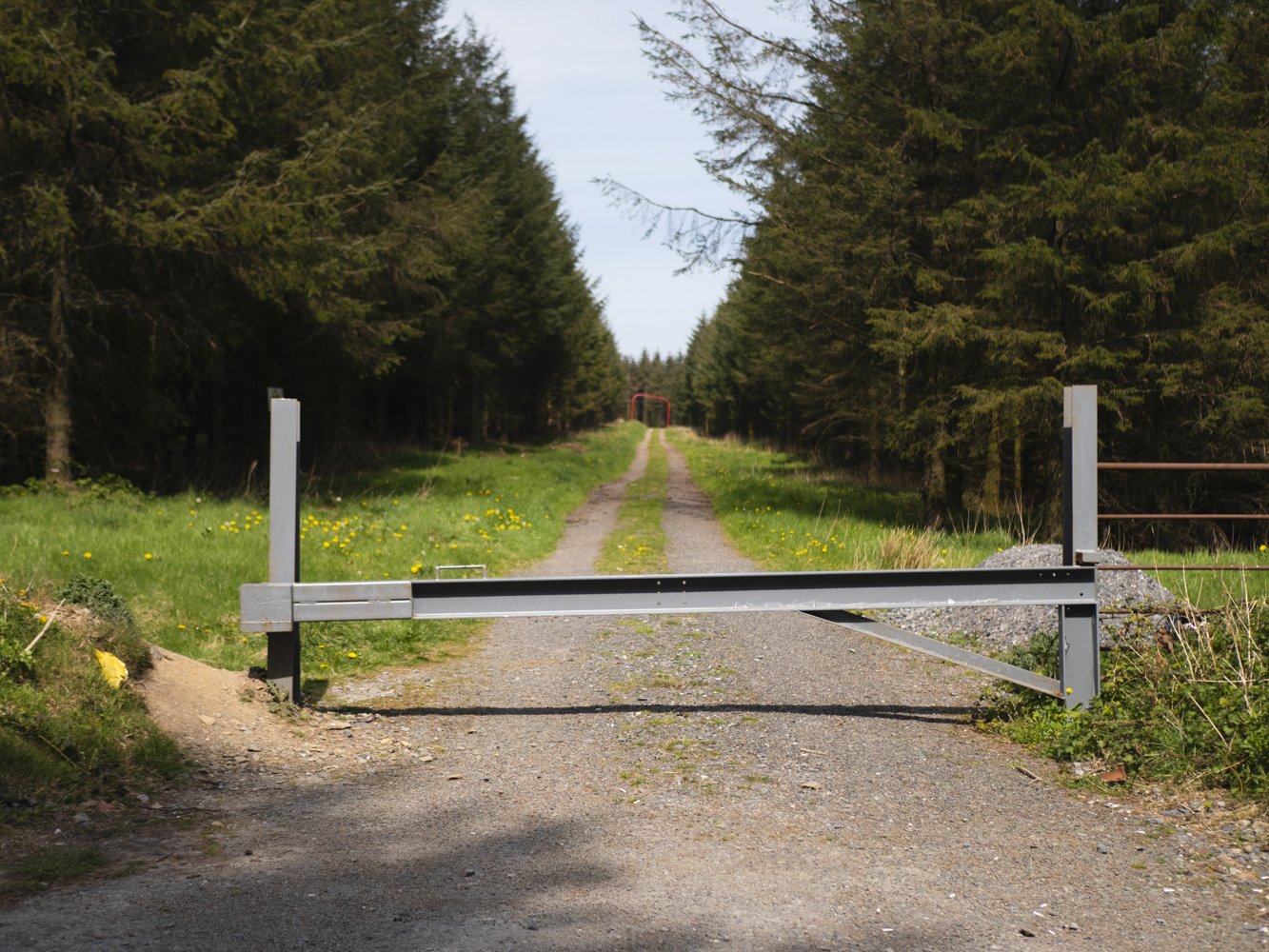
And then we crested the hill, and google maps told us our parking spot was on the left. We pulled in, picked up the camera, and made our way in along the forestry track. We took a left turn, walked past a fenced off concrete cube (for electricity/telephone mast/something like that), and found the trig point.
From the far side of the trig point, there was a surprisingly nice view - hazy in the late afternoon sun, but a view nontheless, so we stat on some rocks and made the most of the shortest walk we’ve ever gone on.
Turning around, we walked the 5 minutes back to the car. Including the almost 15minutes we sat on a rock looking out at the flatest Irish county, our whole walk took us 26:40 minutes.
Walking back to the car, we had enjoyed ourselves, but couldn’t really think of any comments to make on the hill itself. It was a lovely detour to do as we were driving through the area, but only because it was a county high point.


If want to do some actual climbing, and you’re happy with road walking, parking in the village of Kilteel is probably the best option. The road is the steepest section, and you’ll get more time to take a gander at some of the ruins we passed. The way the road climbs the hill brings you through a slight dip between the two sides of the hill, and the forestry track we walked in along follows the almost ridgeline of this tiny set of hills. It is also very close to marking the boarder with Kildare, Wicklow, and Dublin.
With most of the county high points we do, we try to find the most interesting route up that we can do, as opposed to the fastest or most direct. We’re not setting any speed records, and for us we want to enjoy places as much as we can. So if anyone knows of another route around this little hill that we should try out, or just be able to recommend in future, do let us know!
If you want a full overview of the County High Point’s project, click here.
To learn more about trail and hillwalking grading, click here.