
Connemara National Park covers some 2,000 hectares of scenic mountains, expanses of bogs, heaths, grasslands and woodlands in County Galway. Some of the National Park’s mountains, namely Benbaun, Bencullagh, Benbrack and Muckanaght, are part of the famous Twelve Bens or Beanna Beola range.
Opened to the public in 1980, the National Park includes lands that once formed part of the Kylemore Abbey Estate, the Letterfrack Industrial School, and the private property of Richard ‘Humanity Dick’ Martin, who helped to form the Society for the Prevention of Cruelty to Animals. Learn more about our walking trails, unique habitats and our beautiful flora and fauna.
Overview:
Distance: 7km
Location: Galway
Elevation gain: 500m
Format: Looped Trail
Time: 1 - 3 hrs
Start / End / Parking:
The trail starts and ends at the Connemara National Park Visitor Centre, just outside of the village of Letterfrack. There is ample parking at the visitor centre, plus toilets, cafe, and exhibition space.Trail difficulty: Easy
This is an accessible trail in Connemara, offering great views of the surrounding mountains and coastline. It’s a great way to experience the ruggedness of the surrounding mountains without needing a lot of outdoor experience. If you are not used to hiking, this is steep in sections.
Read about trail grading in Ireland here.Trail quality: 4/5
Very well built trails, mixture of gravel paths, stone paving, and wooden boardwalk.Views: 5/5
For a small hill, you get lovely views.Buggy/Wheelchair friendly: Lower loops are somewhat accessible, summit is not.
Dogs allowed: Yes
When did I walk this route: March 2024
External resources:


It’s an extremely windy March morning as I arrive to the Connemara National Parks Centre. But the strong breeze means the clouds are hurried on quickly, and the sun is shining through. The visitor centre here has some lovely short walks around the immediate grounds, through forests and along ponds. There are officially four trails from here:
Ellis Wood Nature Trail: 0.5km
Sruffaunboy Walk: 1.5km
Lower Diamond Hill Walk: 3km
Upper Diamond Hill Walk: 3.7km
Today I’m doing what I’d call the “full Diamond Hill Loop”, which is combining the Lower and Upper walk into something of a figure-eight shape.
Note: the national park have waymarked this trail in a specific direction. Follow the way-marking. There is one section on the climb to the summit that is exposed rock and uneven. This meant to only be the way up, and is far more difficult to descend.


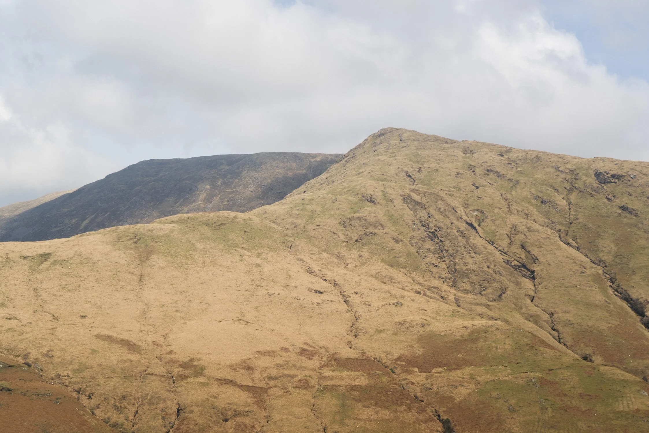
The bottom loop is lots of wide open gravel paths and some stretches of boardwalk. At the split to the higher loop, there is very clear signage. It is on the upwards climb here that there is one small section of larger rock to navigate. As I said before - this is much easier to go up than down.
Because of the strong winds blowing when I was there, many people were turning around at the top of this section, and deciding to come back down. However, the trail across the summit and down the back is a much easier path, designed to be easy to walk downwards on.
I ended up being the only person walking around and down the far side while I was there. I stopped and munched on some late lunch, appreciating the wide valley view between me and the Bens. I finished the walk back around on more wide gravel paths to the visitor centre.


On immediately finishing the walk, I was somewhat underwhelmed. This is a hike I’ve heard raved about by so many people. However, as time has passed, my opinion has eased on this trail.
The four paths I listed at the top are the only waymarked trails in the Connemara National Park. While there might be plenty of other routes listed in hiking apps, this is the only one that is and actual trail underfoot, and is waymarked. Thousands of tourists (national and international alike) have heard the songs and read about the romanticisation of Connemara for decades. If you are someone with limited walking experience, this walk is going to give you a taste of the wildness of the surrounding mountains in an accessible way. And if you’re someone with walking experience, save this for a speedy sunrise or sunset hike, appreciate the views, and then carry on to your next adventure.


Further exploring
Other trails in the area:
Pine Island Viewpoint (google maps)
This isn’t a trail, but a very popular viewpoint from the general area (photo above).