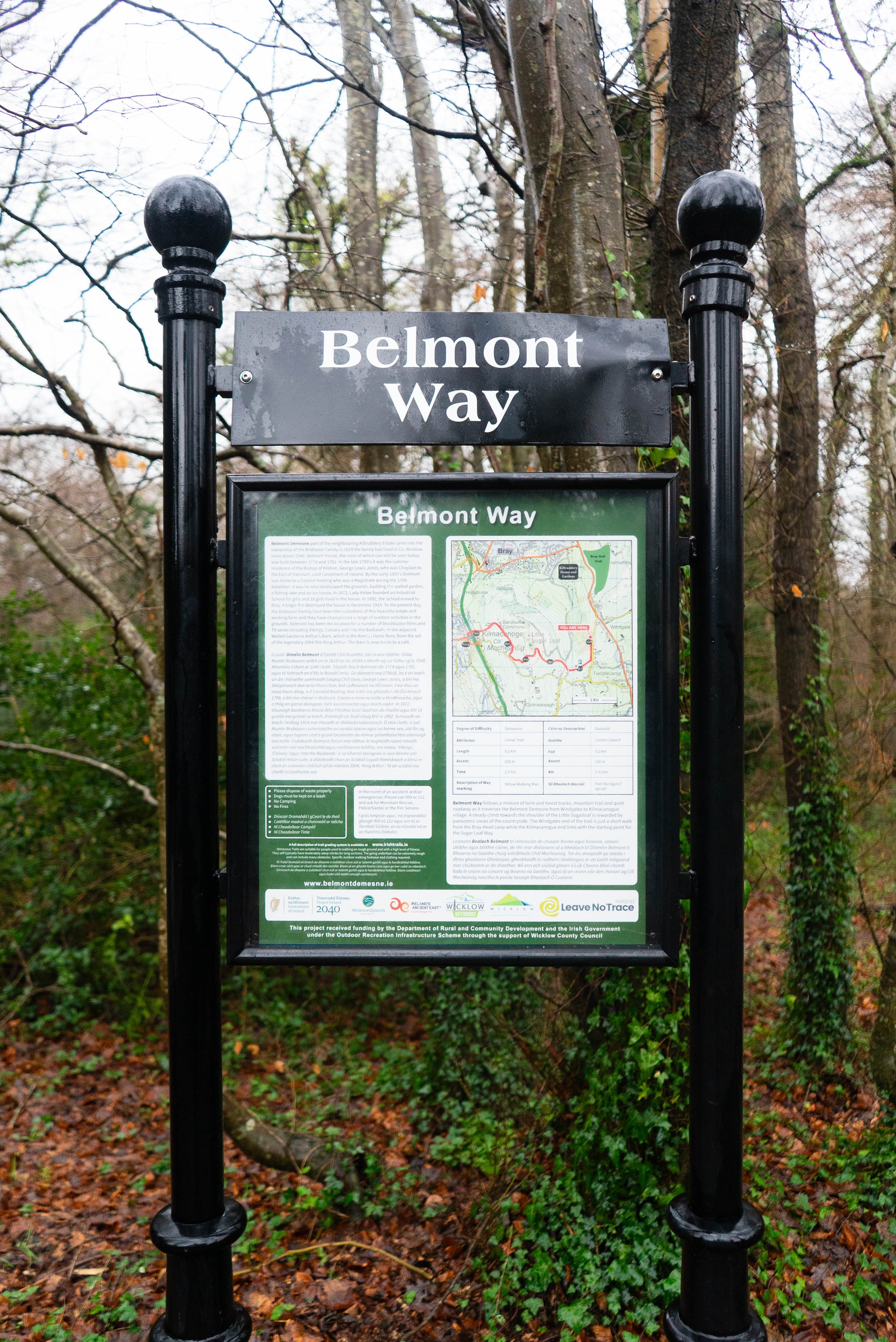
The Belmont Way is a route that features far more trail than you’d expect from something of this short distance. Taking you from Bray Head to the foot of the Great Sugarloaf, this is a great outing no matter the weather.
Overview
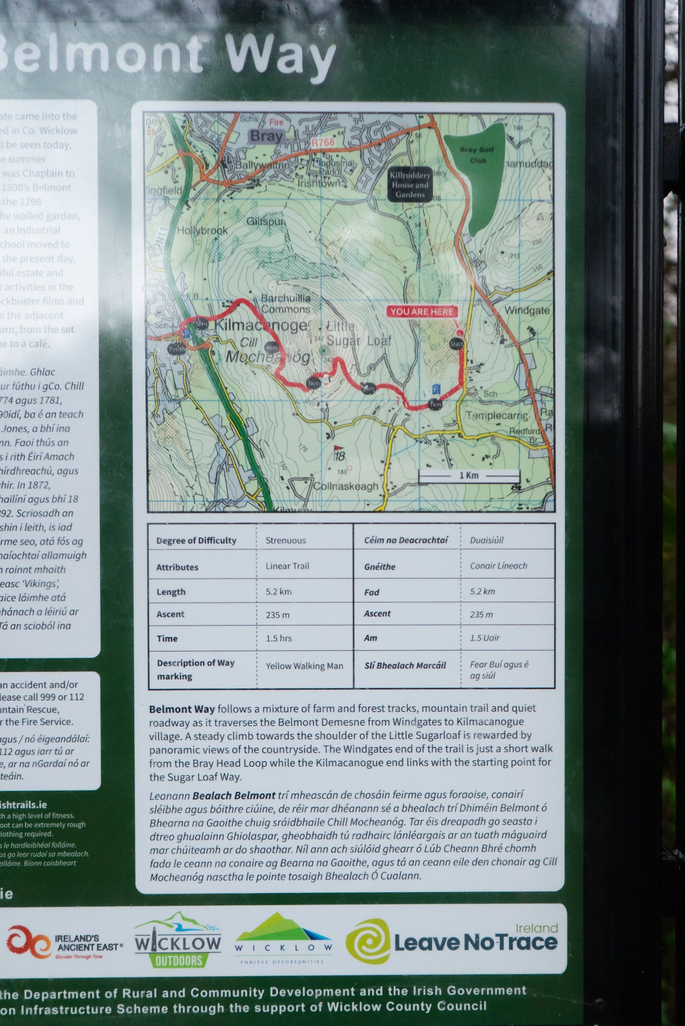
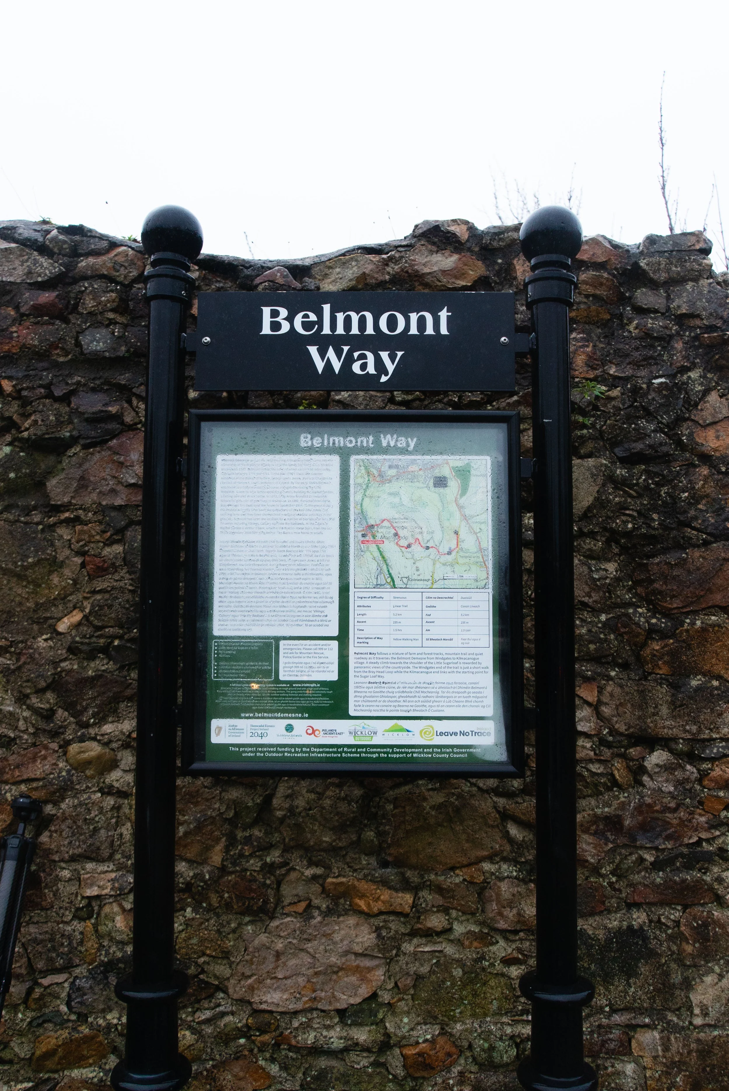
Distance: 5km
Time: 1 - 2.5 hrs; depending on fitness, coffee breaks, and how often you stop to take in the views.
Parking:
Easterly trail head: Parking available at Belmont for €3 for the day (or free if you buy something in the café).
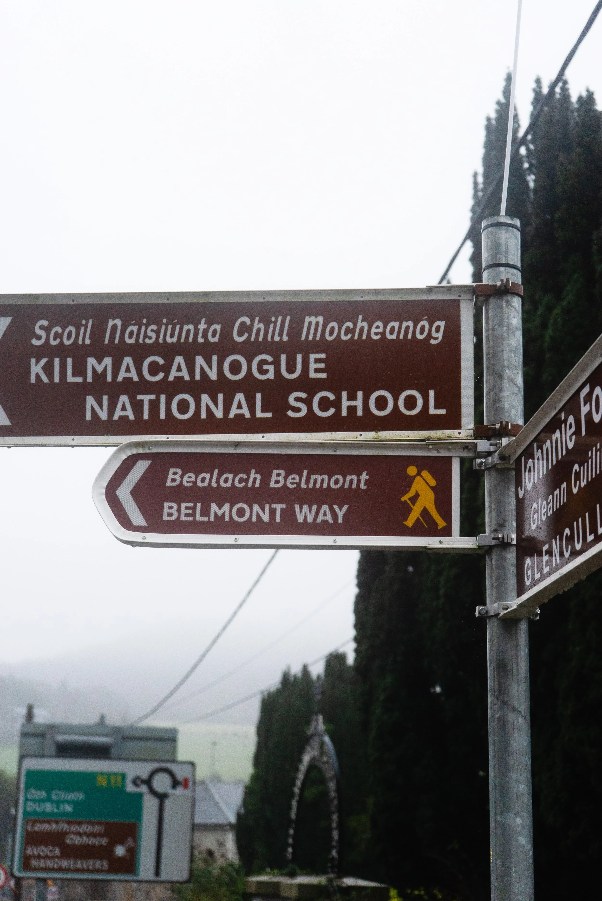
Westerly trail head: Kilmacanoge car park where you’ll find the info-board for the end of the trail.Trail difficulty: Easy
Routes graded as easy are typically signposted trails but will still require some basic navigation skills and walking experience. Mainly on easily identifiable paths, with good underfoot conditions. Can include some open countryside with some rough ground and moderate ascents.
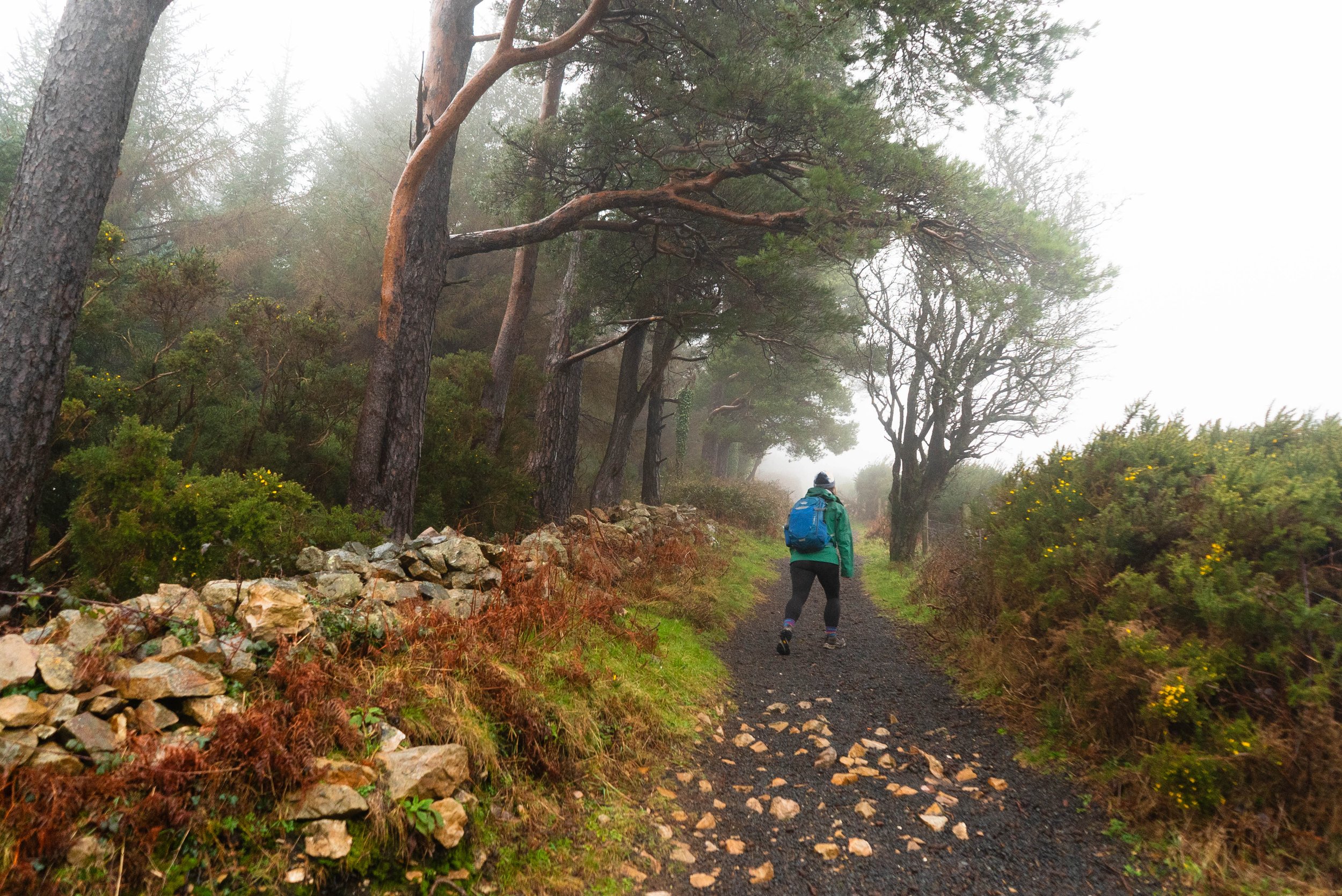
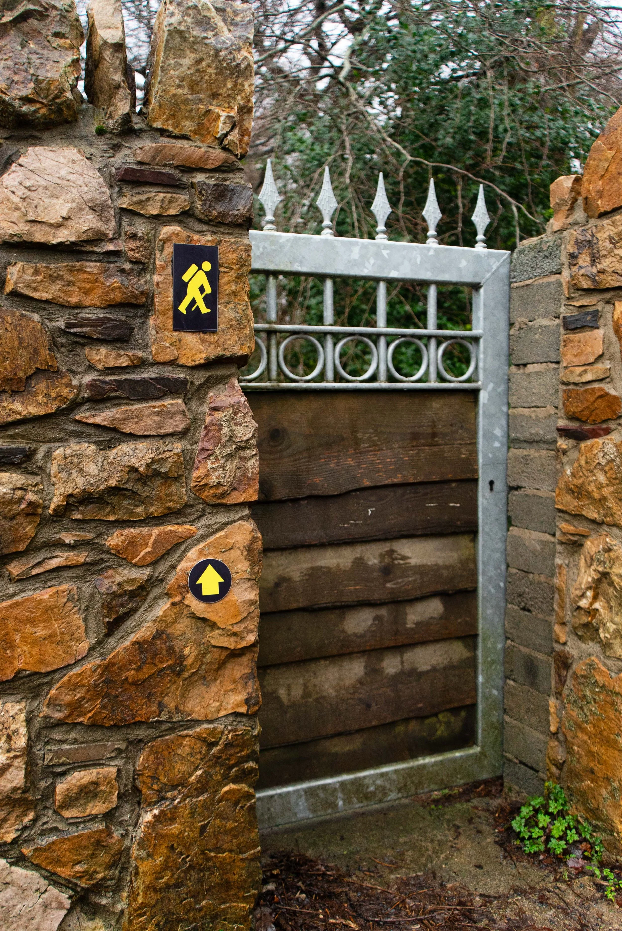
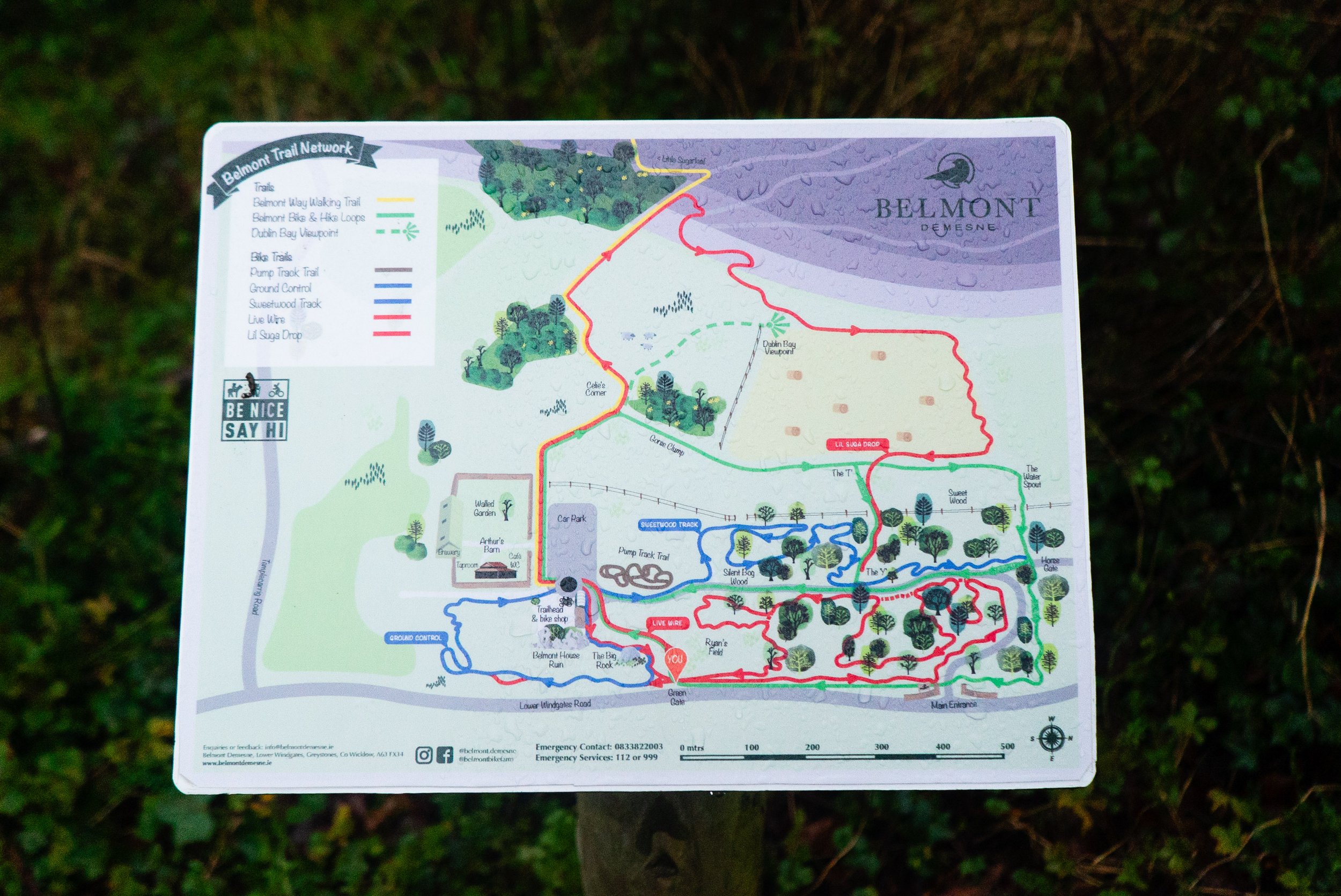
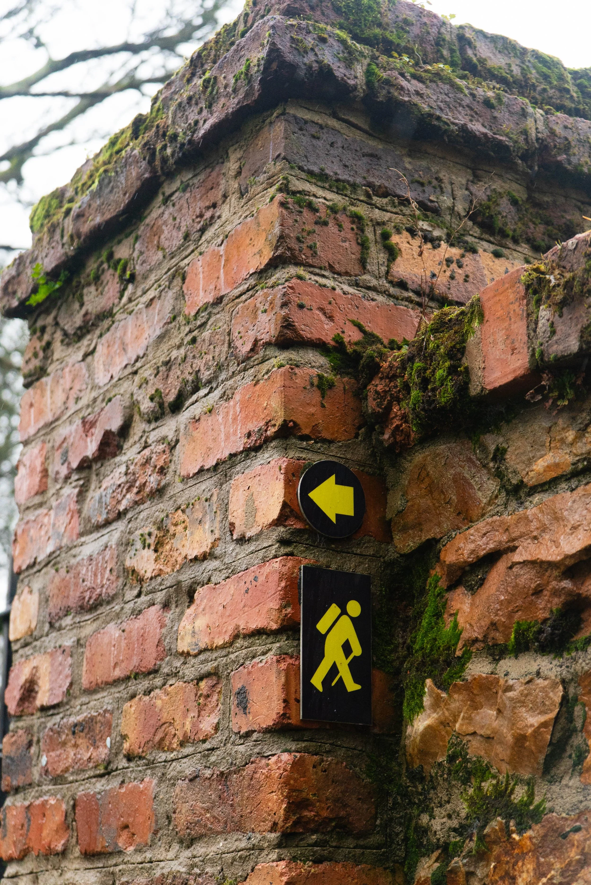
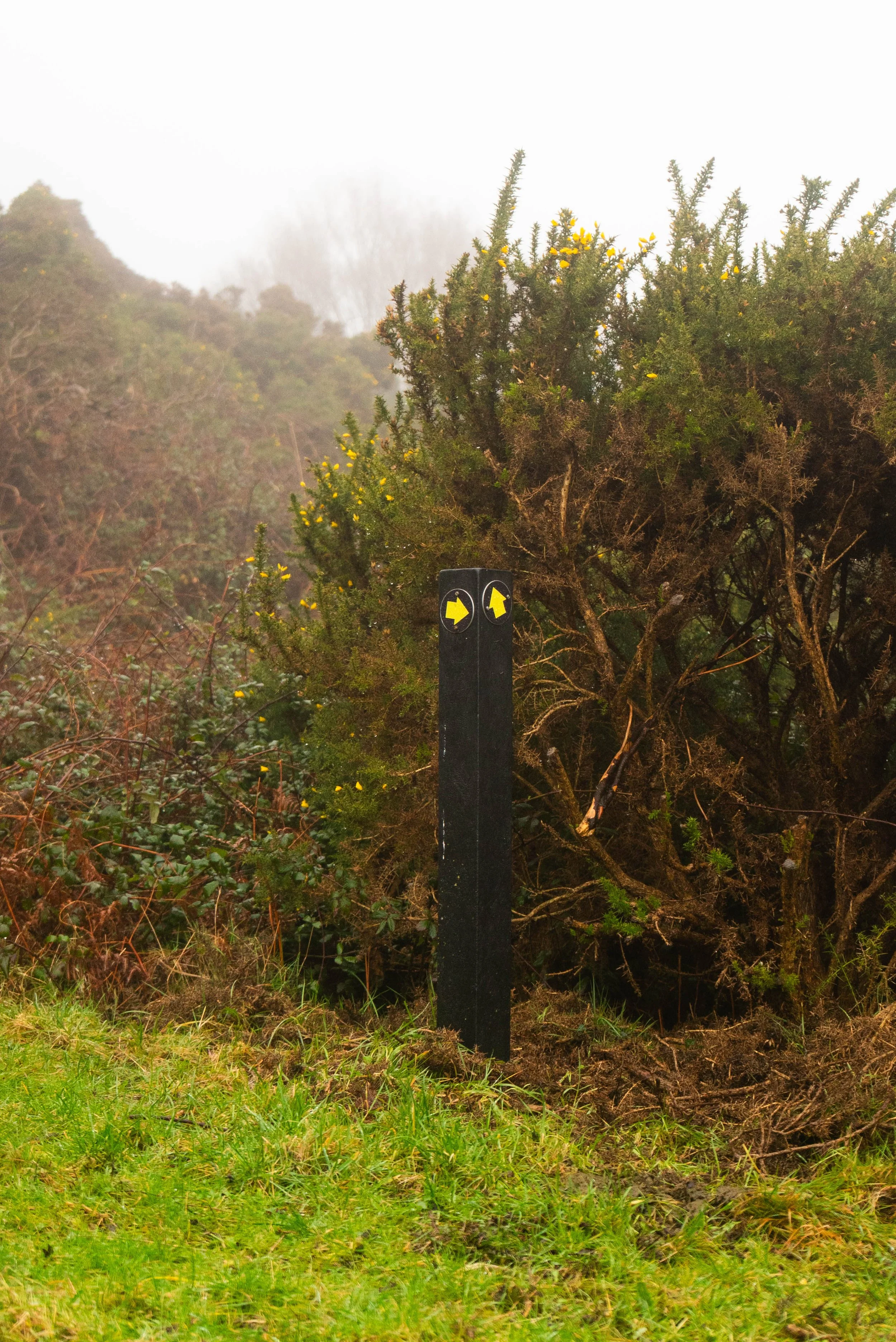
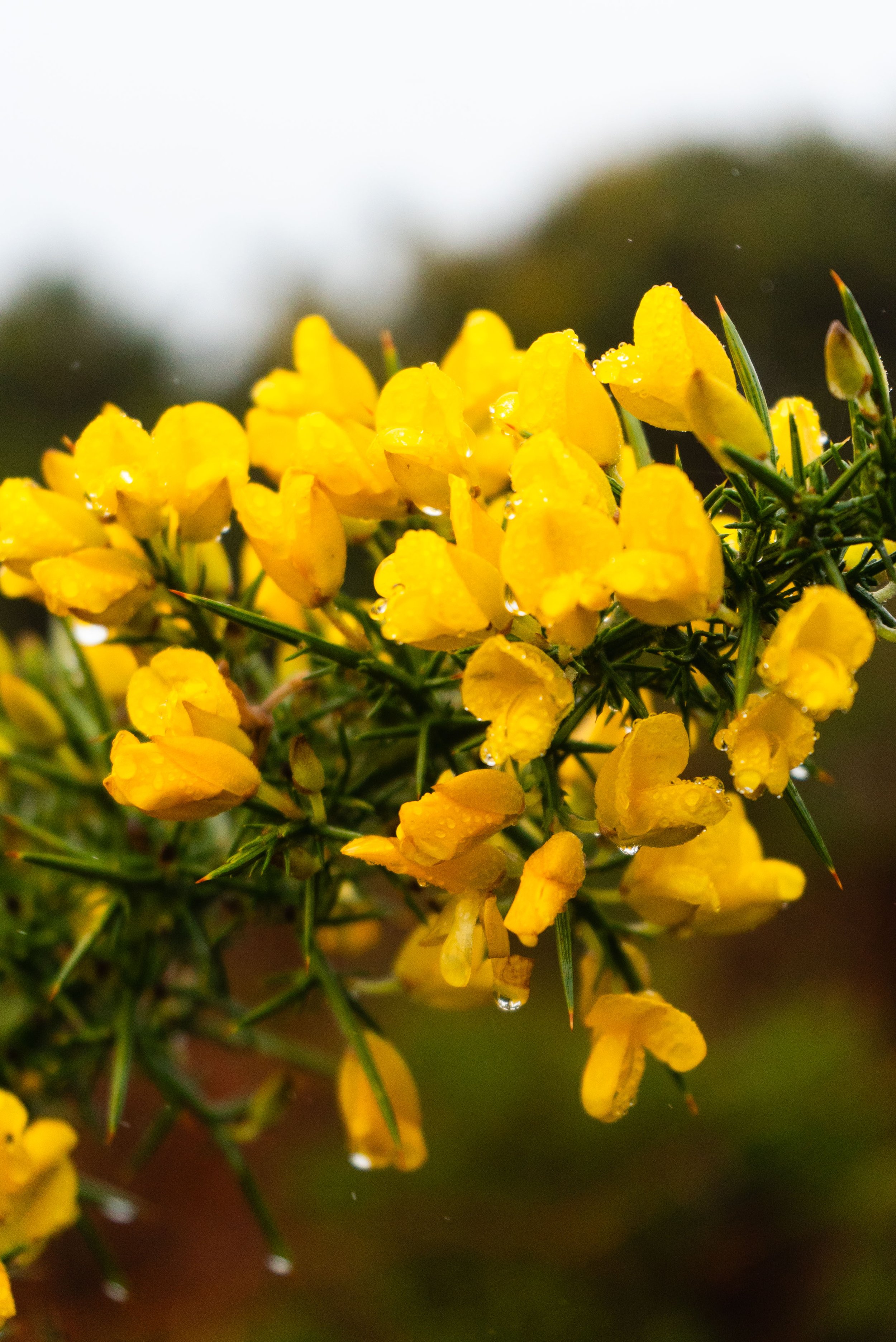
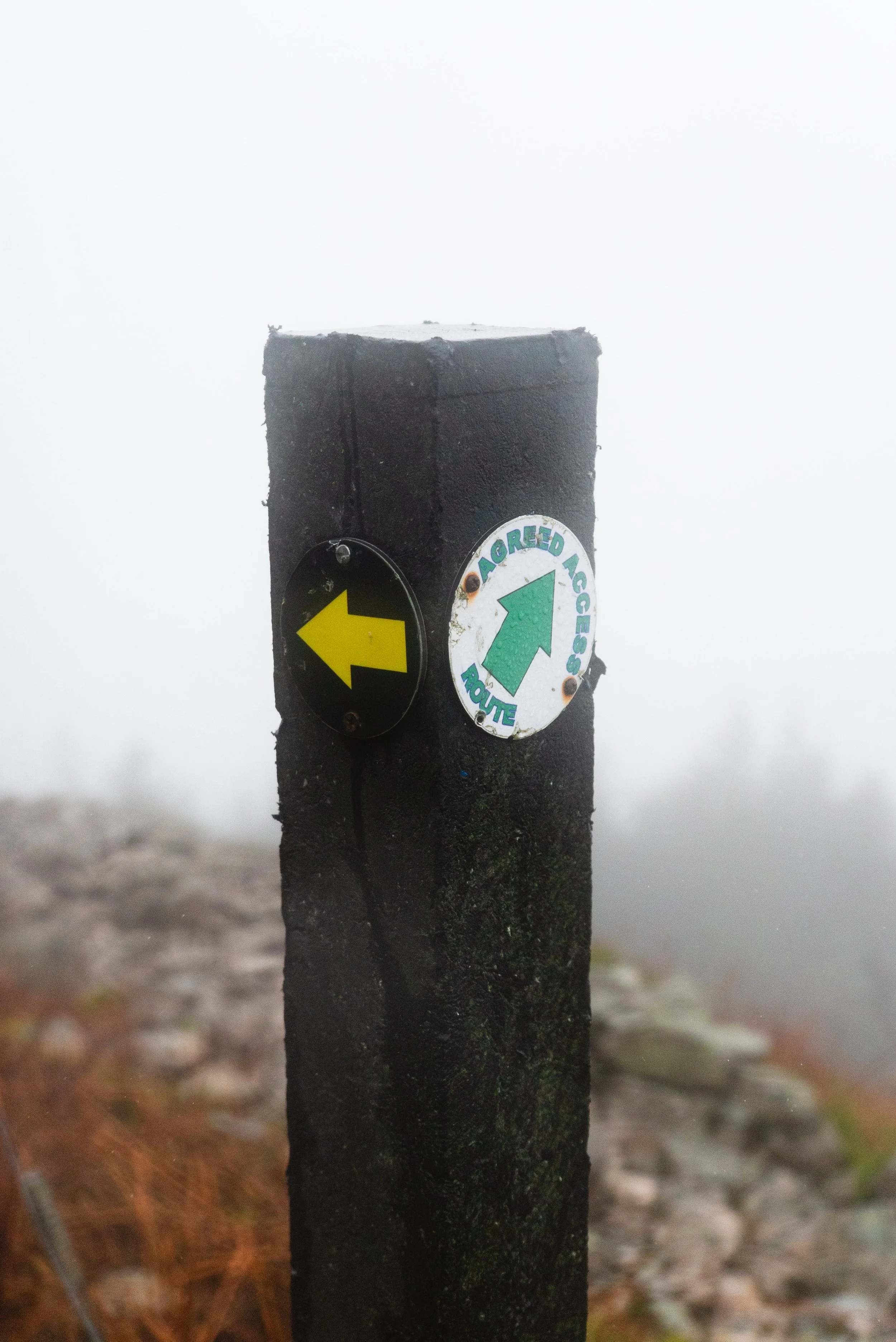
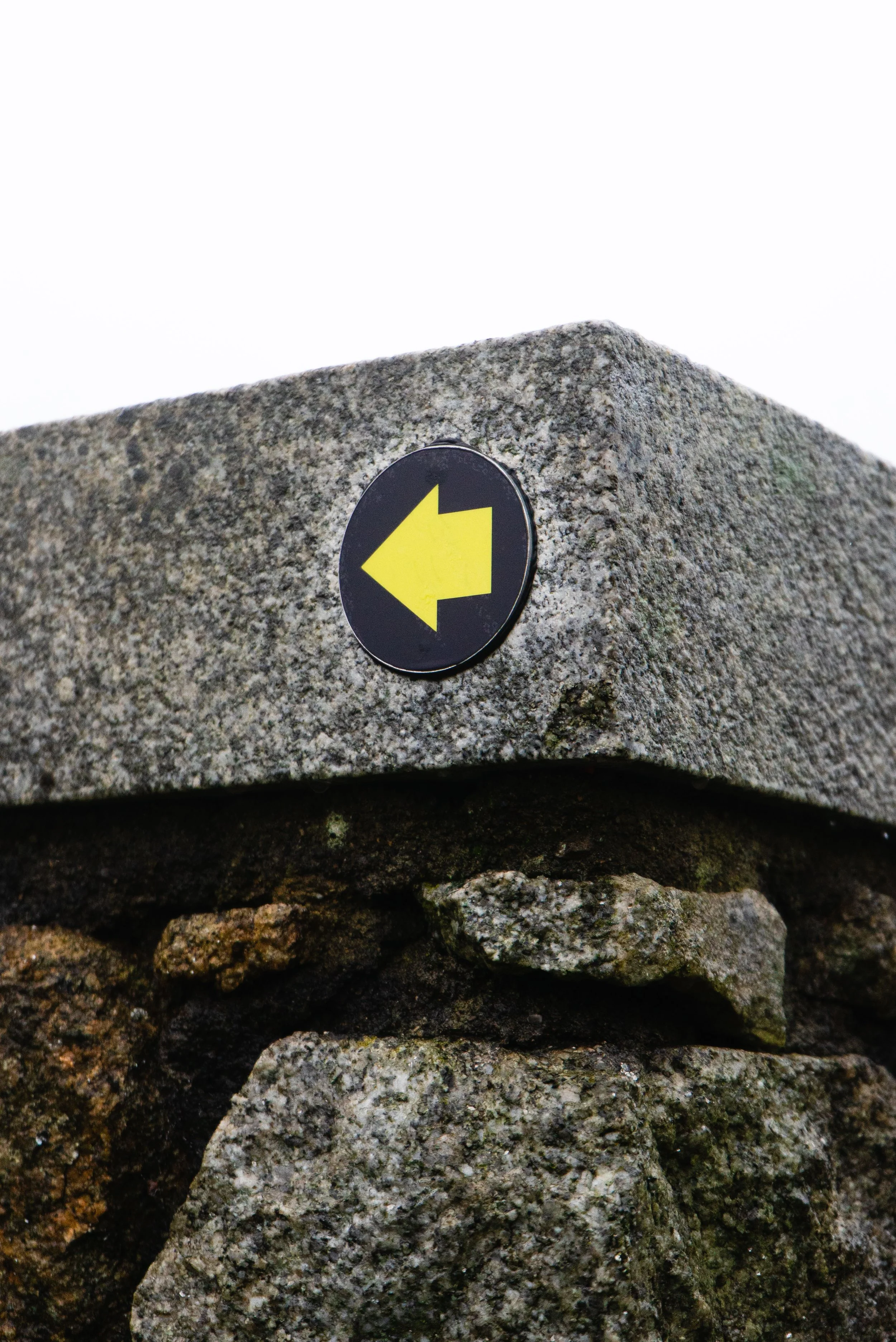
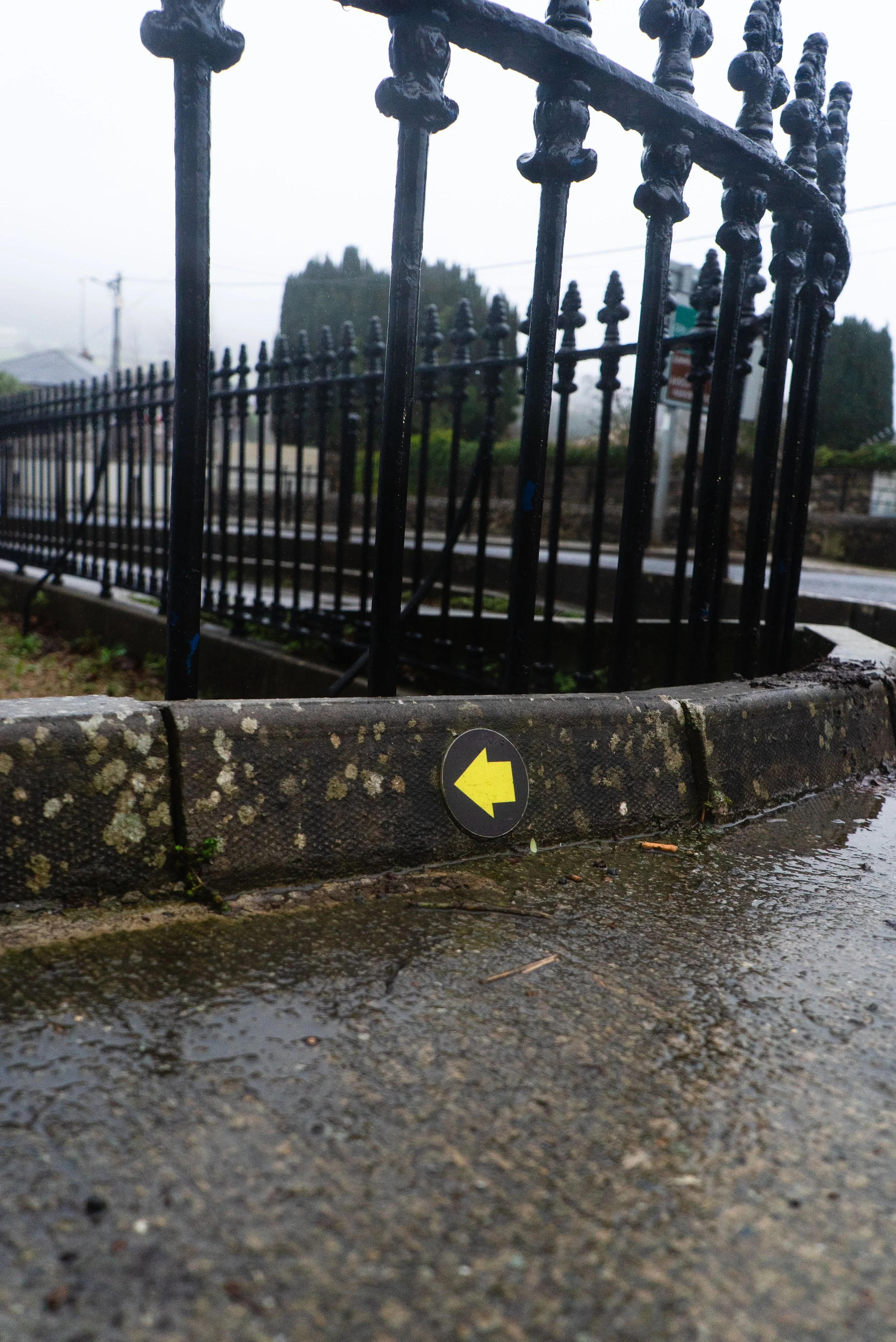
The Belmont Way is fully waymarked with a yellow arrow and walking man (often fondly known as Elvis), and the majority of the trail is on well maintained trails and lanes. Crossing the shoulder of the Little Sugarloaf, the ground is a lot more broken and rocky underfoot.
Read how we rate trails here.Trail quality: 5/5
The trail takes in lots of different terrain, from farm fields to gravel paths, rocky hillsides and small boreens.Views: 5/5 (imagined)
I’ve done most of this trail before, just as other events or hikes. Because of that, I know the views I should’ve been seeing, even if the wind and rain prevented me from seeing them on the day.Buggy/Wheelchair friendly: Partial
There are many accessible trails around the Belmont Demesne, which would be suitable for buggies. Not suitable past the grounds of the estate.Dogs allowed: Somewhat surprisingly - yes, despite crossing through active farmland in Belmont. Dogs must always be on a lead and under control.
Toilets: For such a short trail it is very well facilitated:
Belmont Demense toilets are beside the café
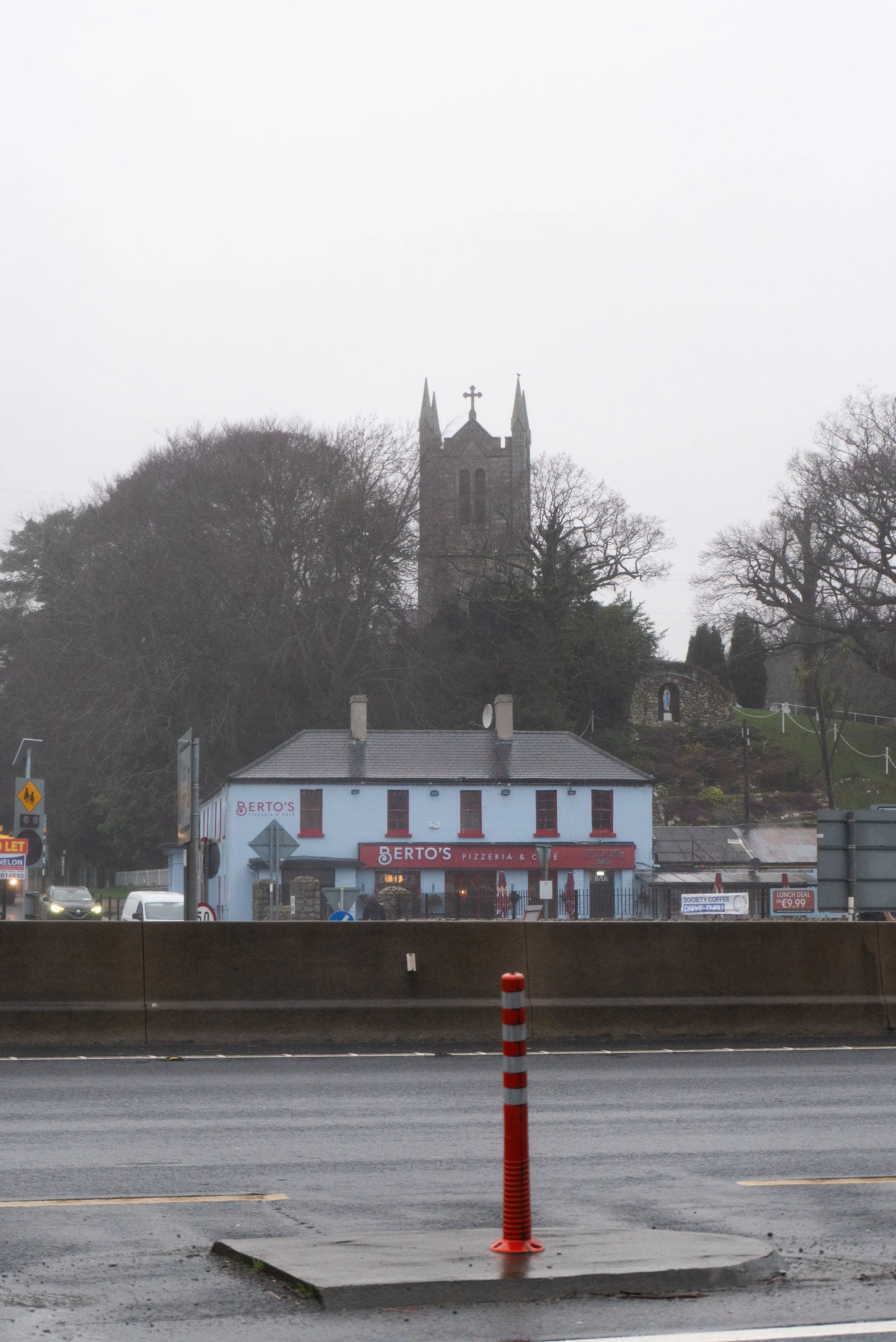
Berto’s Pizzera & Cafe is beside the Kilmacanoge car park
Public Transport:
Eastern trailhead: At the time of writing, buses L1, L2, X1 and X2 will all take you to the R761. From here, walk down the Templecarrig Rd, which is a very short walk to the entrance to Belmont Demesne.
Eastern trailhead: If you’re walking this as part of the Wicklow Uplands Way, or want to take the Dart to Bray, you’ll be walking the Bray Head Loop first. This will bring you out onto the Ballynamuddagh Rd, from which you will also join onto the Templecarrig Rd and on to the Belmont Demesne.
Western trailhead: From Kilmacanoge, you can take the following buses: 45A / 45B / 131 / 133 / 181 / UM11 / Wexford Bus 740 / Wexford Bus 740A / Wexford Bus 740X.
External links:
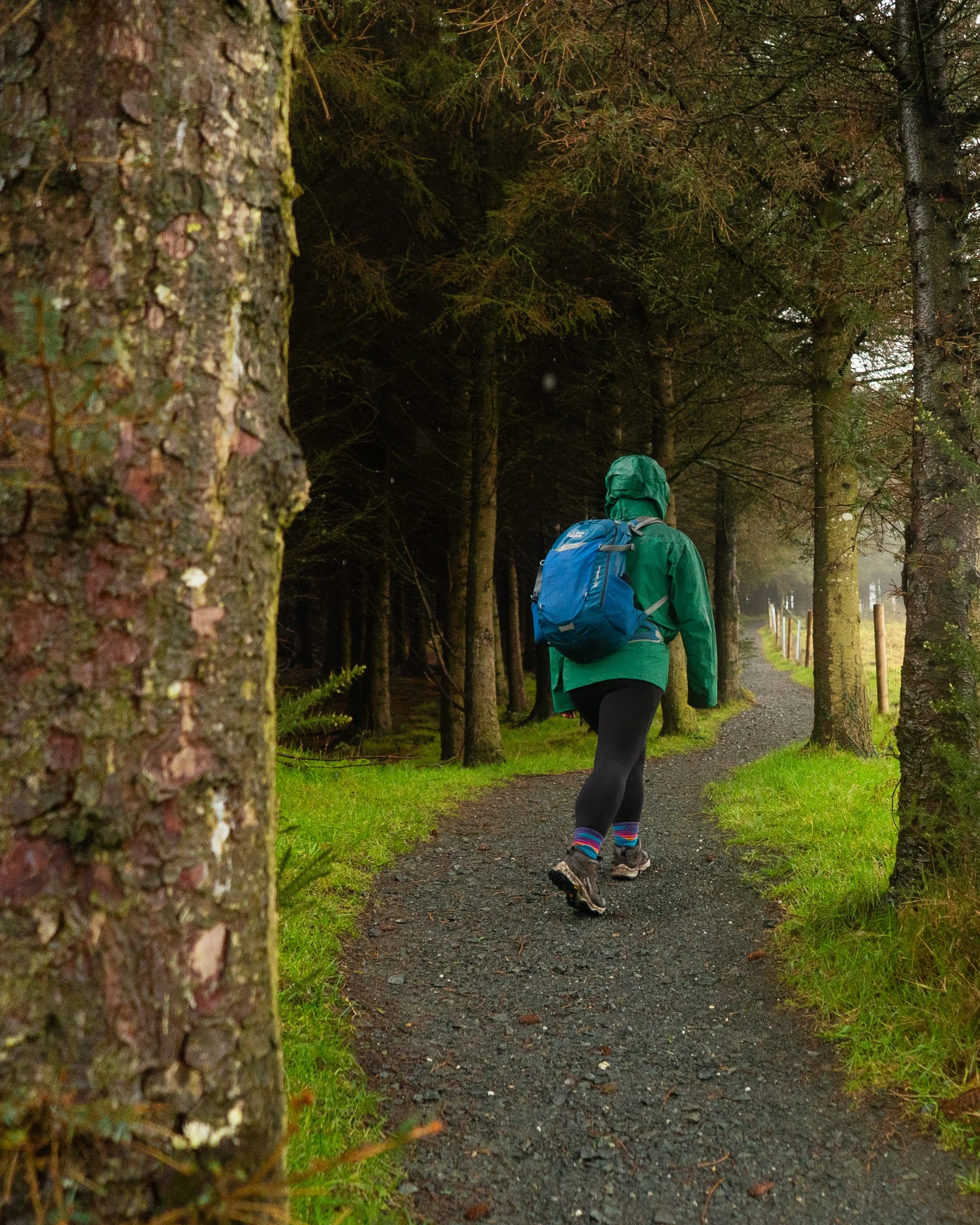
Sitting in the van, I watched the raindrops race each other down the outside of the windows - while the condensation began to build on the inside, working towards its own grand prix later that evening. It’s early February, and I haven’t been on a dry hike yet this year. But if I ever want to reach even the bottom half of my To-Hike list, then wet winter hikes are mandatory.
Because the Belmont Way is only 5km, its short distance turned into the short straw for bad weather. Once the active raining ceased I clambered out, locked the door behind me, and started walking.
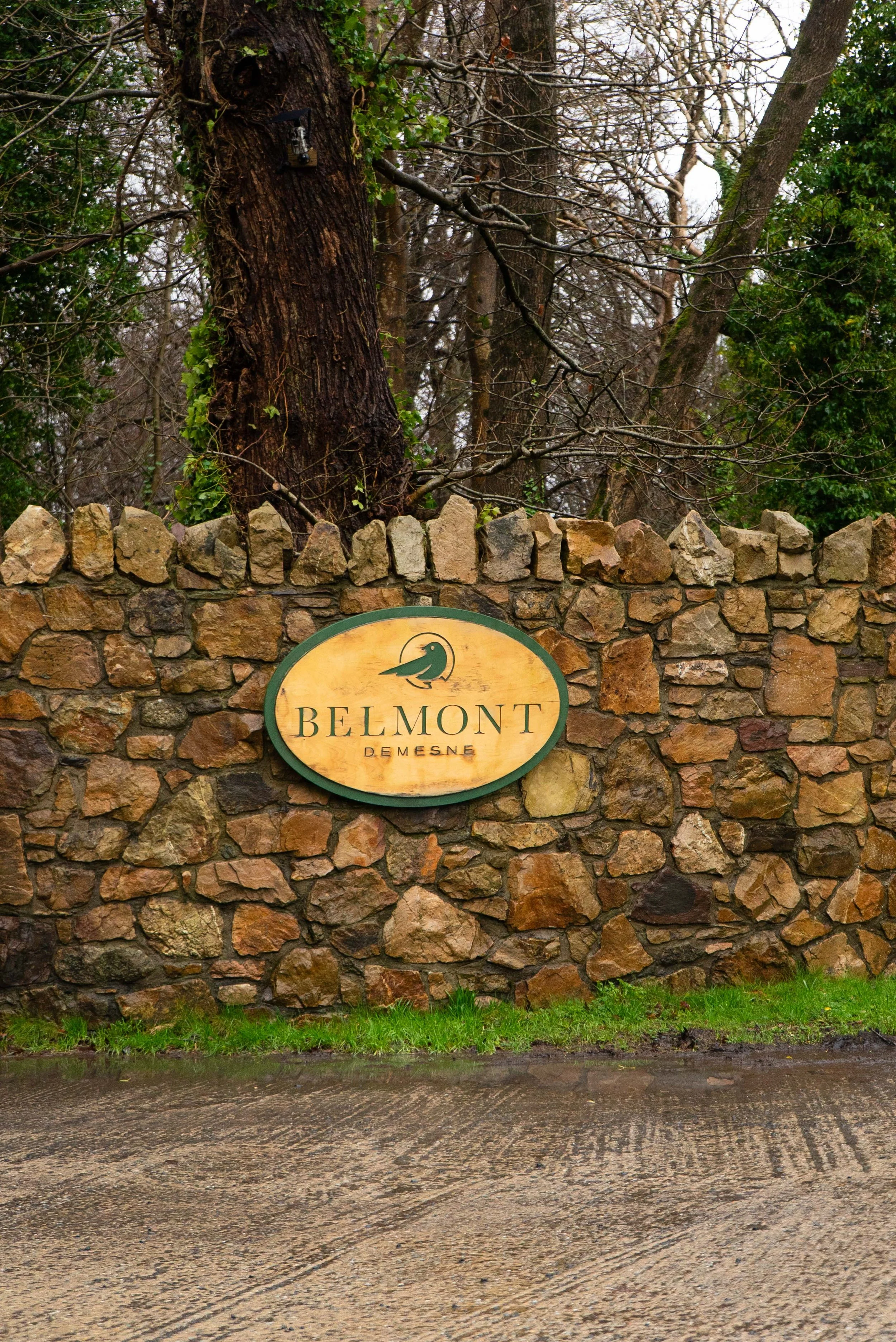
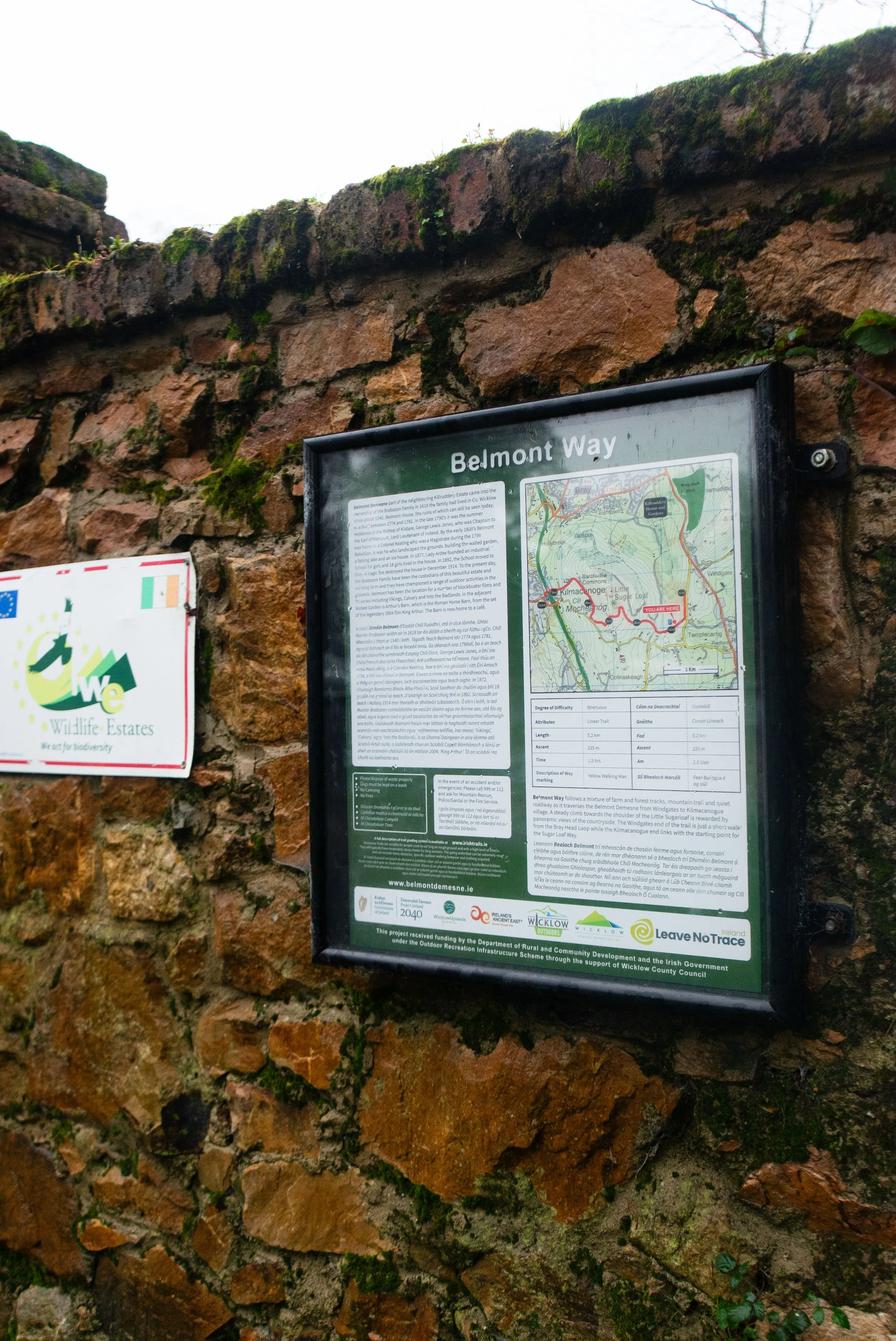
Since 2019 or so, the Wicklow Uplands Council has been working on the development of the “Wicklow Uplands Way”, a series of linking trails that would take you from Bray down the eastern side of the Wicklow Mountains, linking in with public transport and the towns and villages along the way (more information on this development in a future write-up). The Belmont Way is part of this plan, and sets a good tone for the calibre of trail we’ll hopefully see in the future.
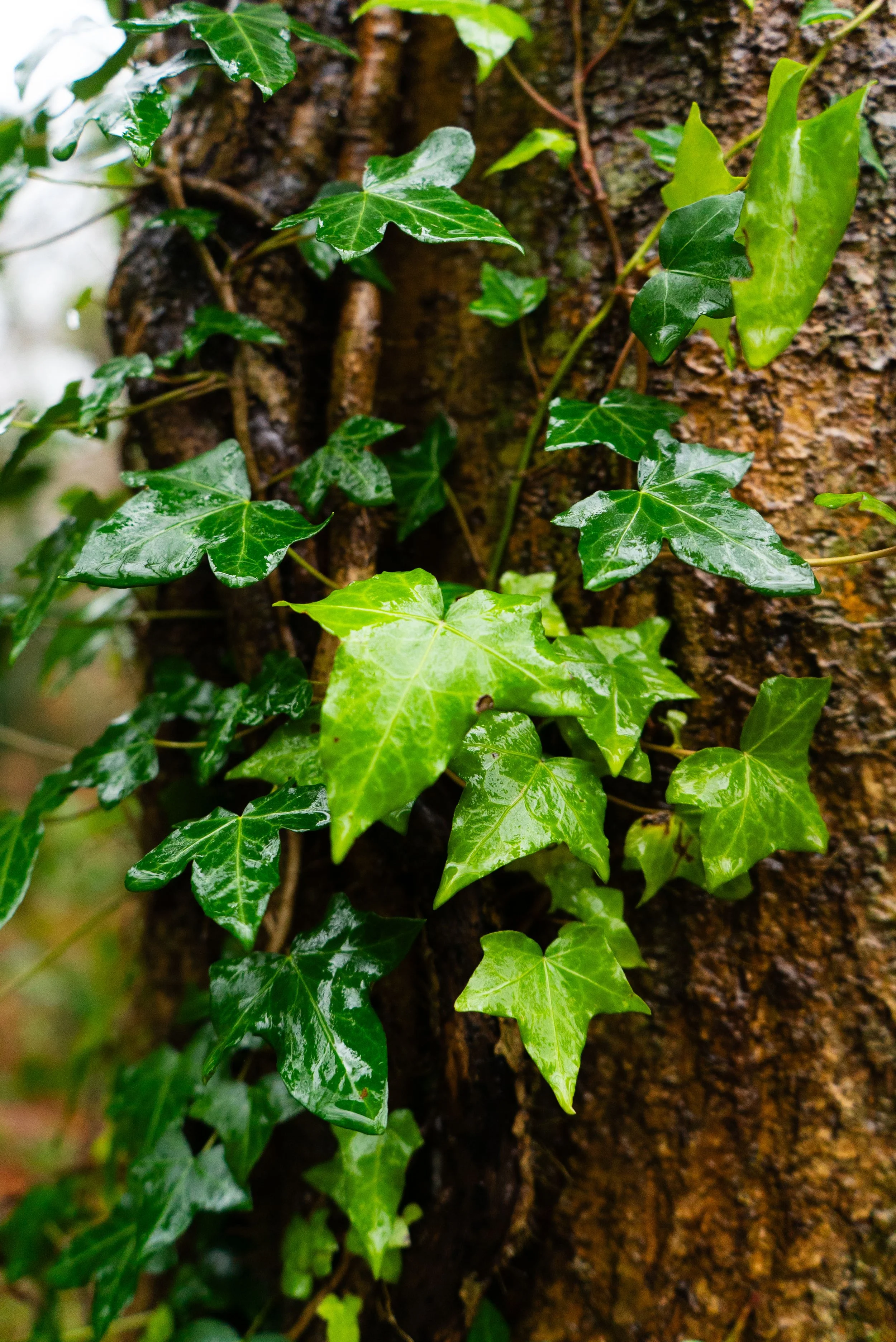
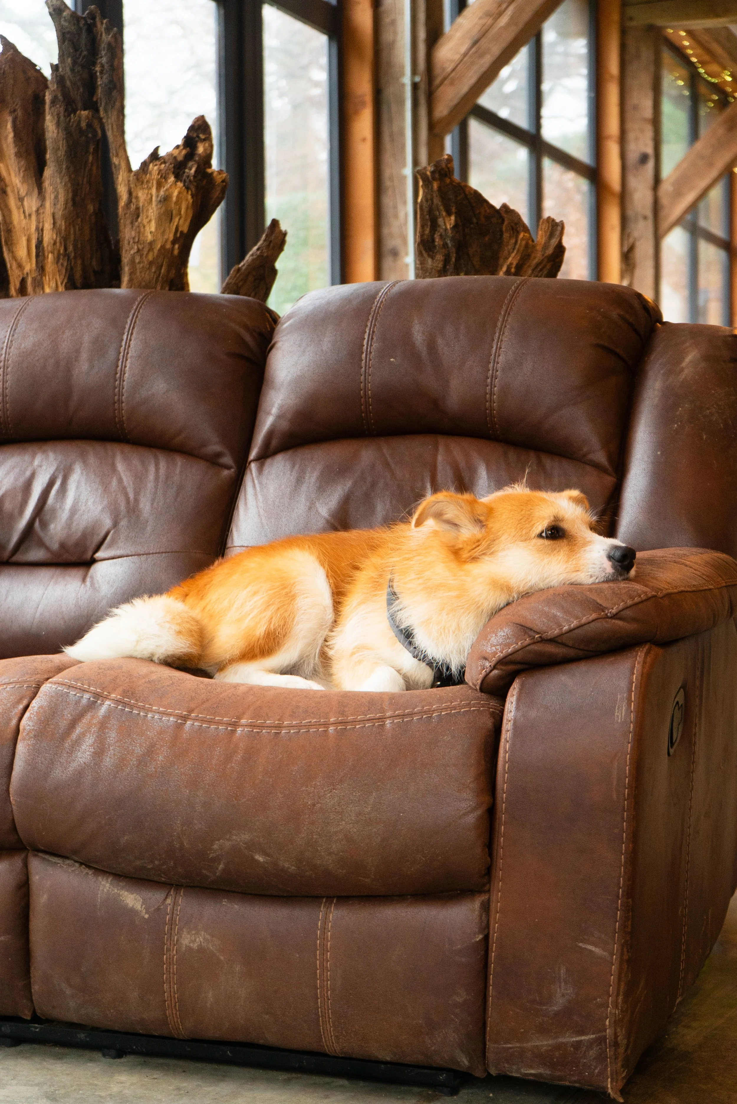
Starting from the easterly (Bray / Belmont) end of the trail, the first info-board is just inside the gates of Belmont Demesne. The first kilometre takes you from the gates to the Kitchen 28 Café at the main buildings. The walk is along some easy forest trails and well defined paths. I took shelter (and used the bathrooms, which were very clean and tidy) in the café while a particularly heavy shower hit. I got to meet the resident pup, who was much more fond of me once I procured a treat from the staff.
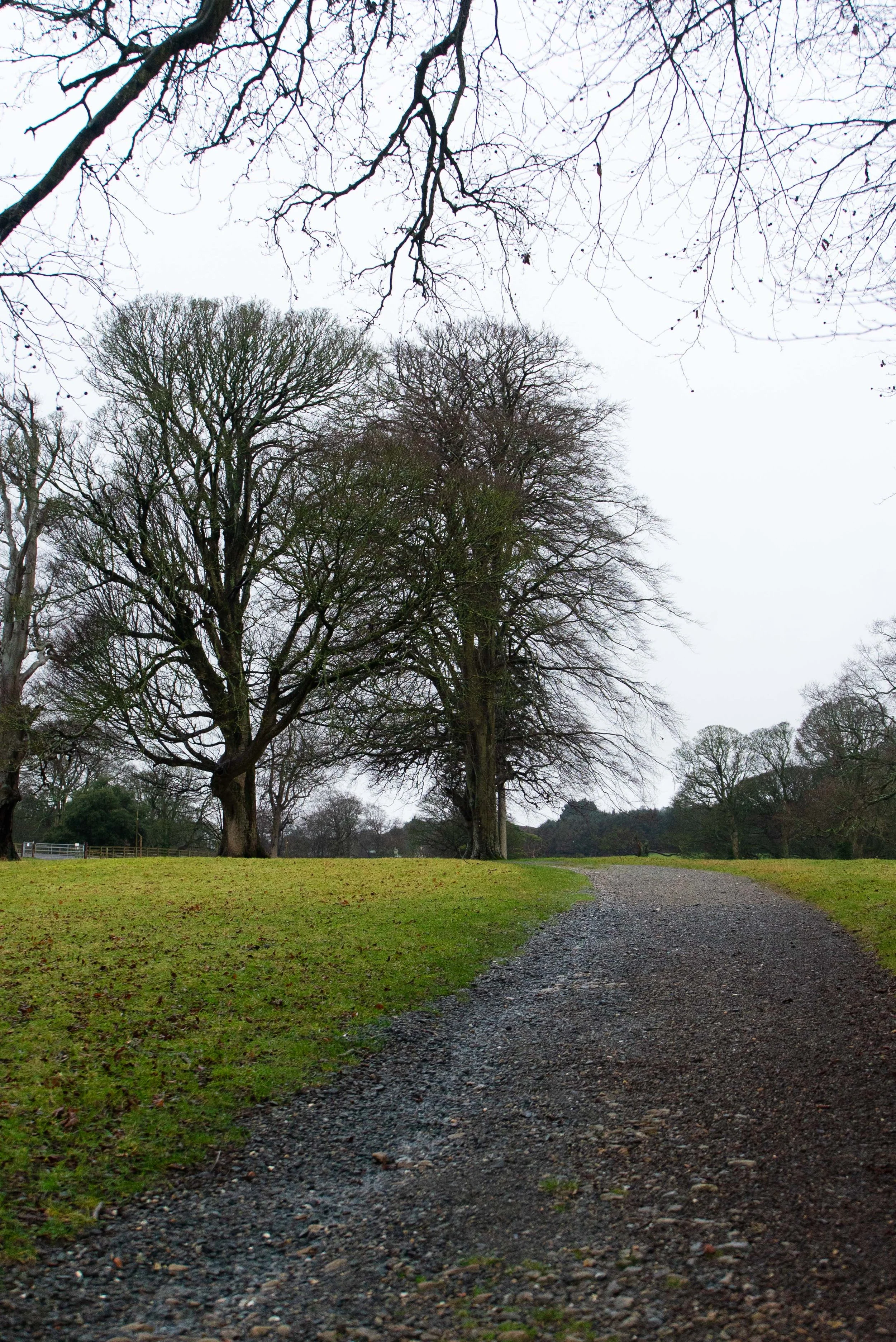
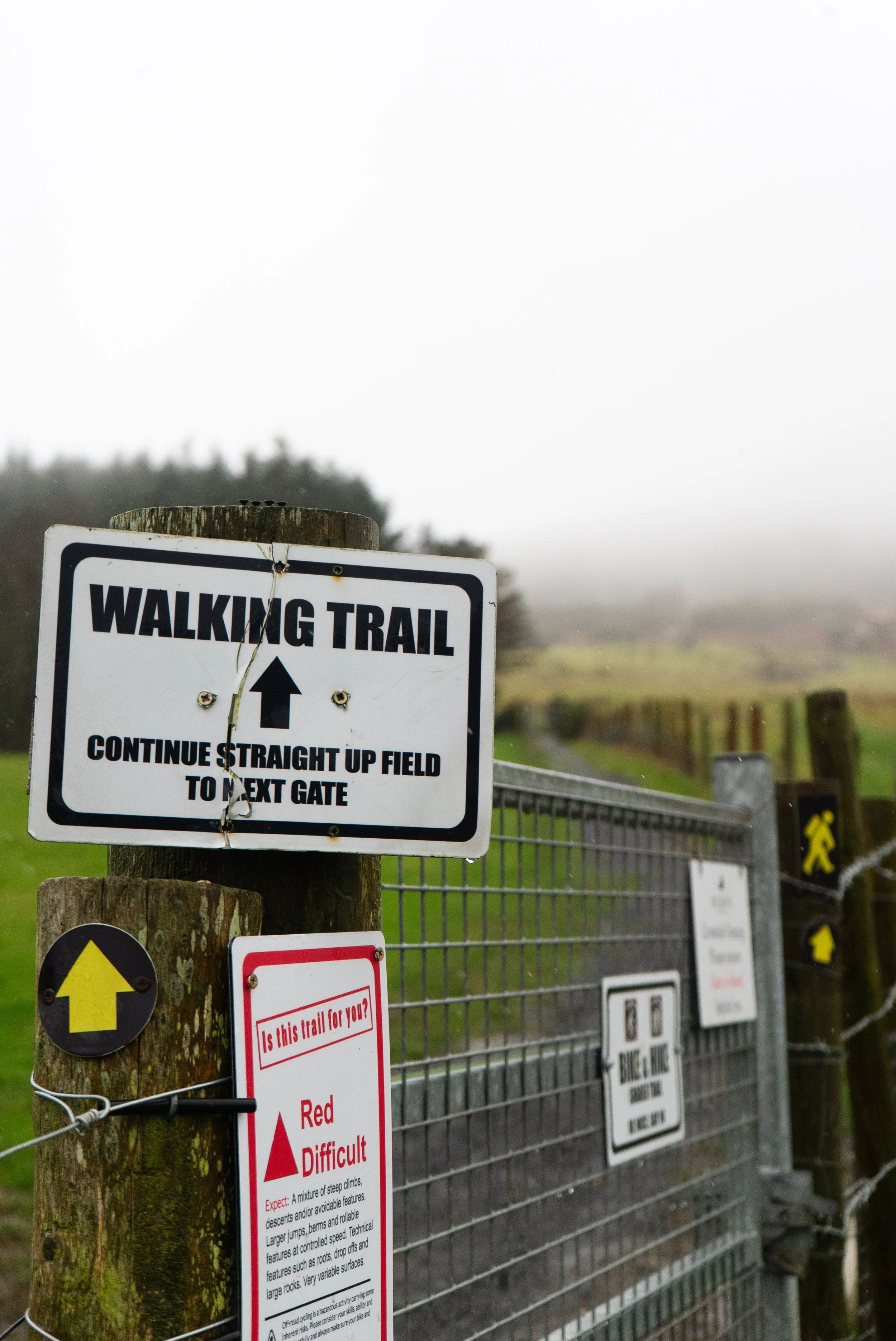
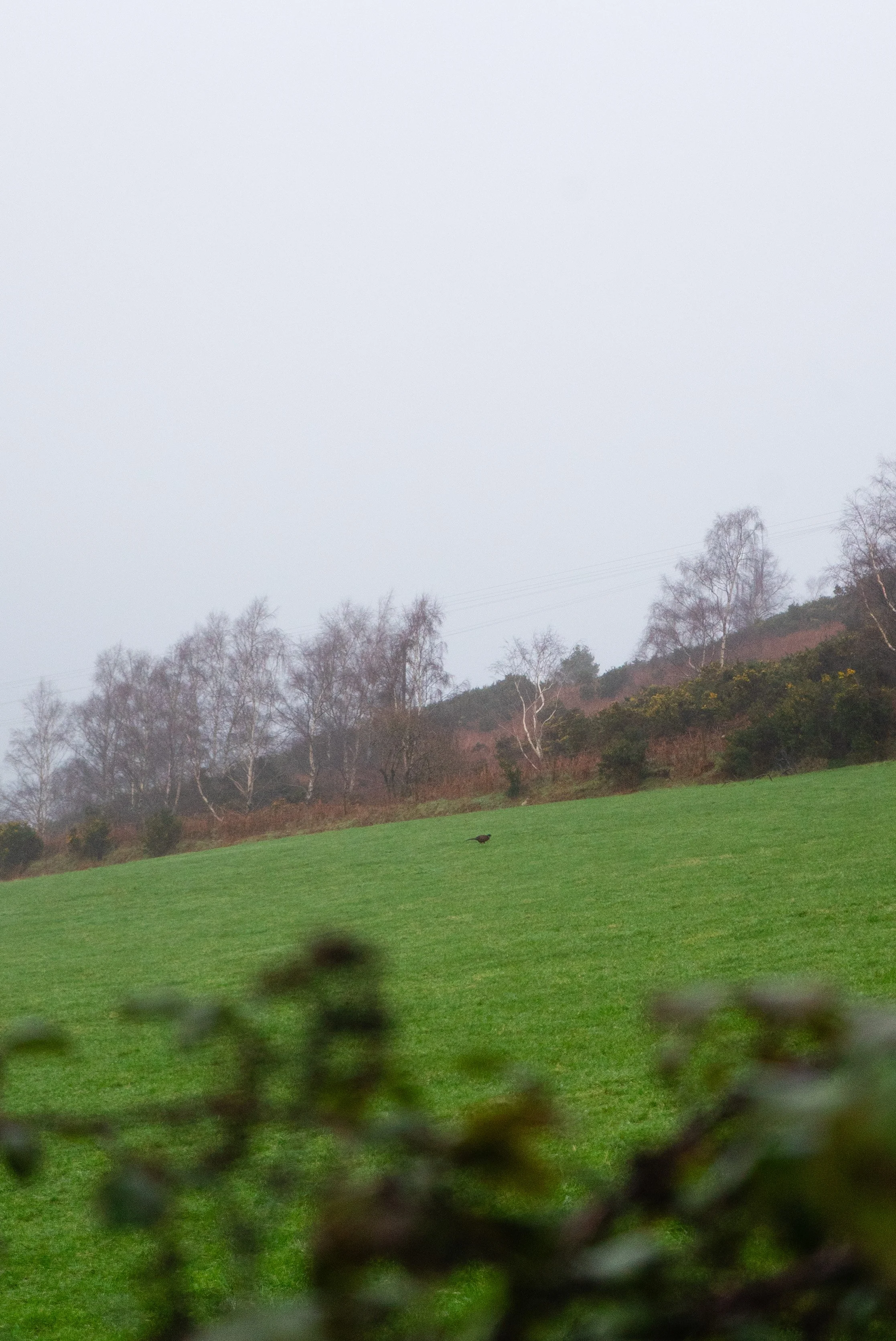
Leaving the buildings, the trail heads off through some more farm fields, turning from a gentle incline to a steep climb up onto the shoulder of the Little Sugarloaf.
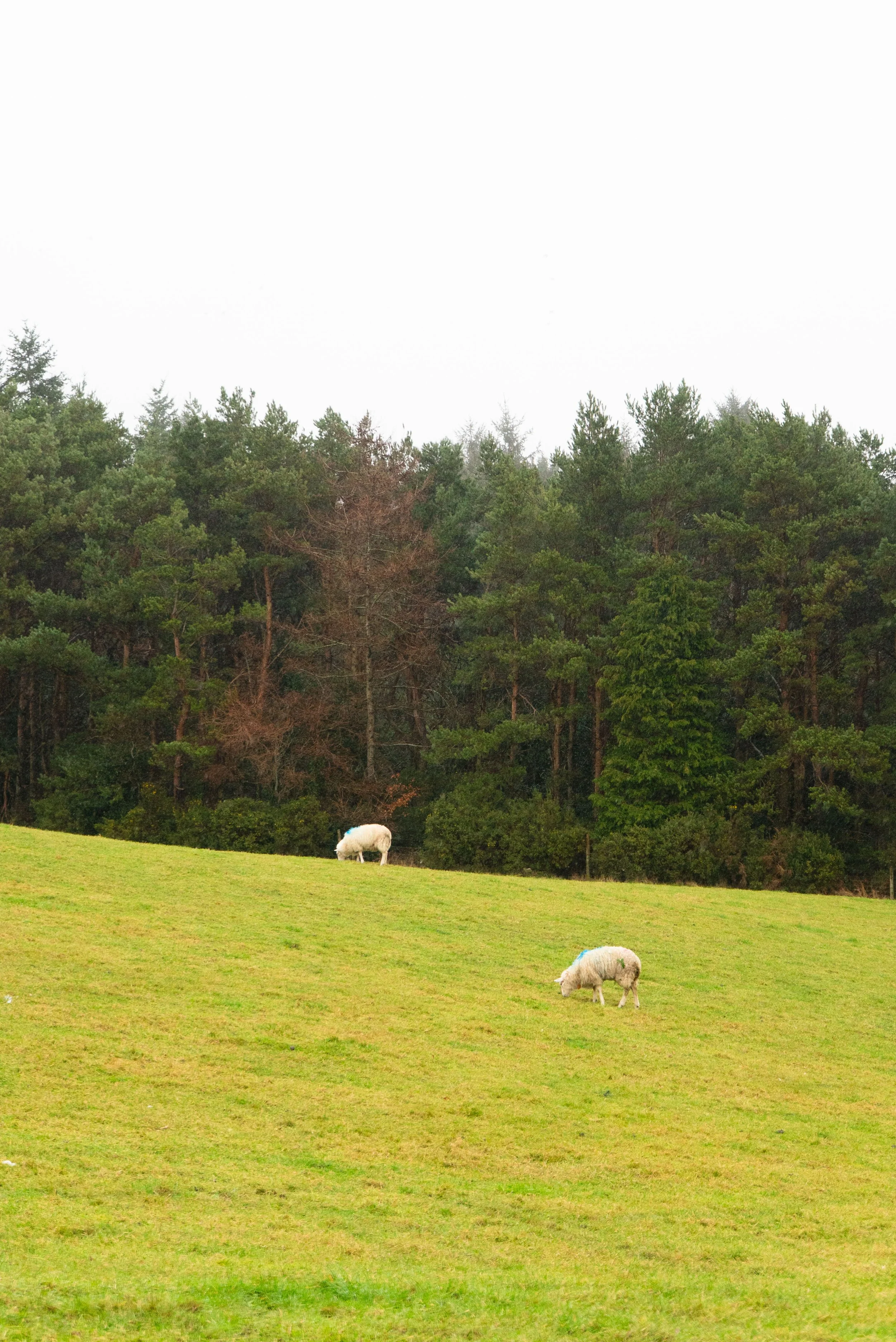
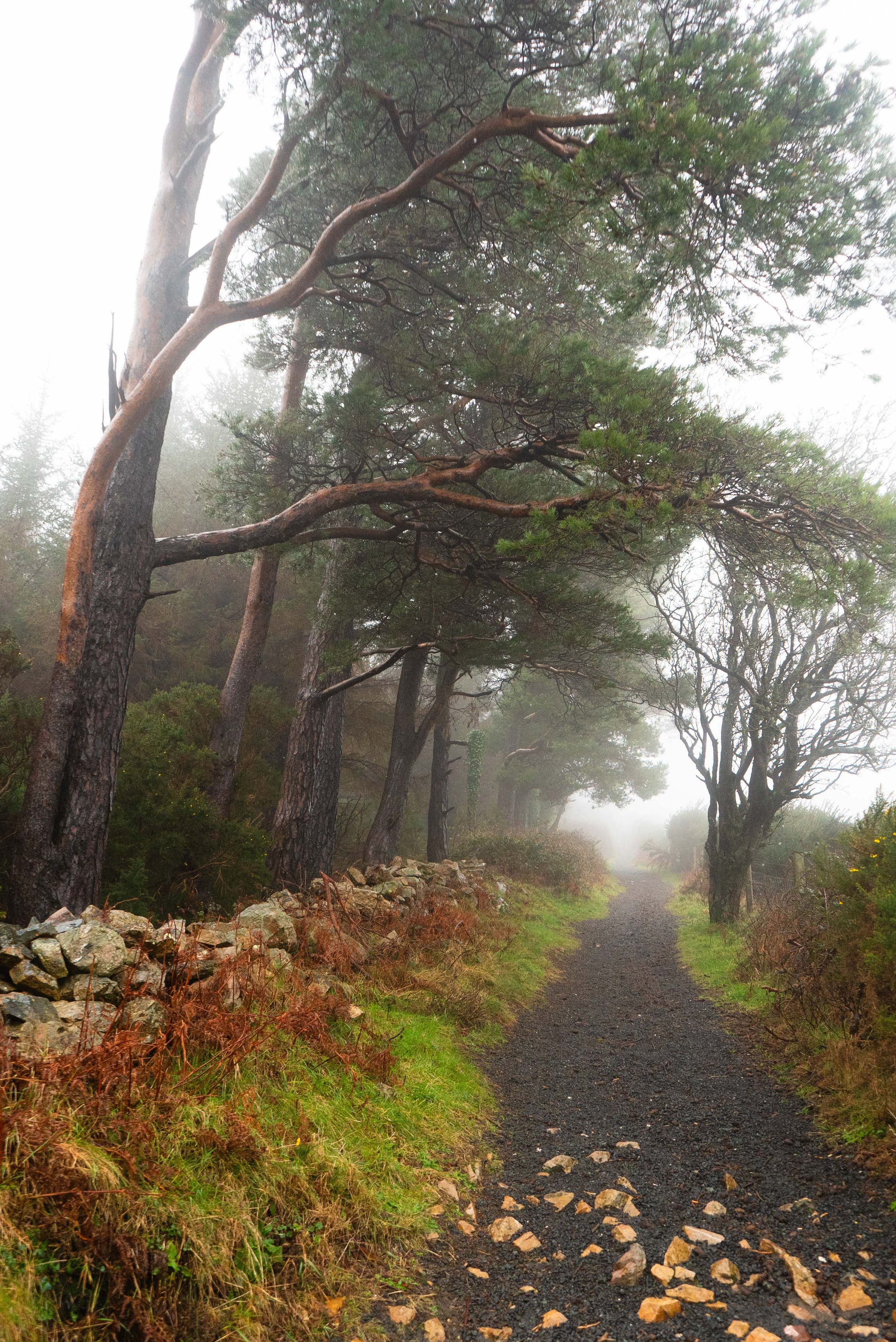
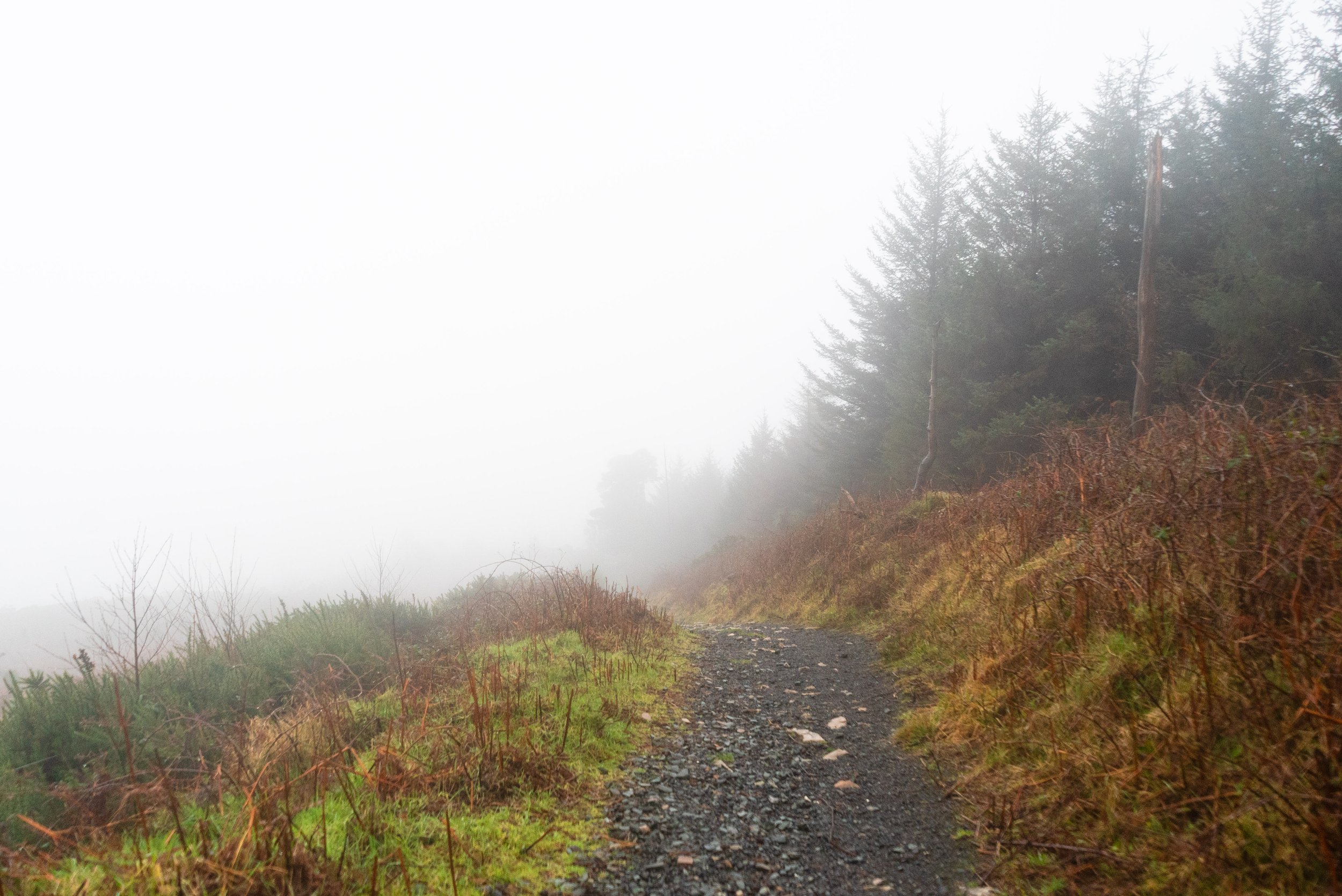
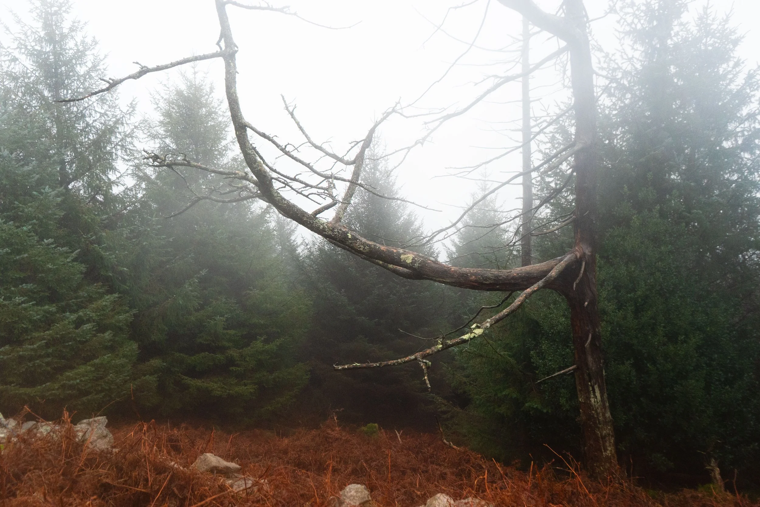
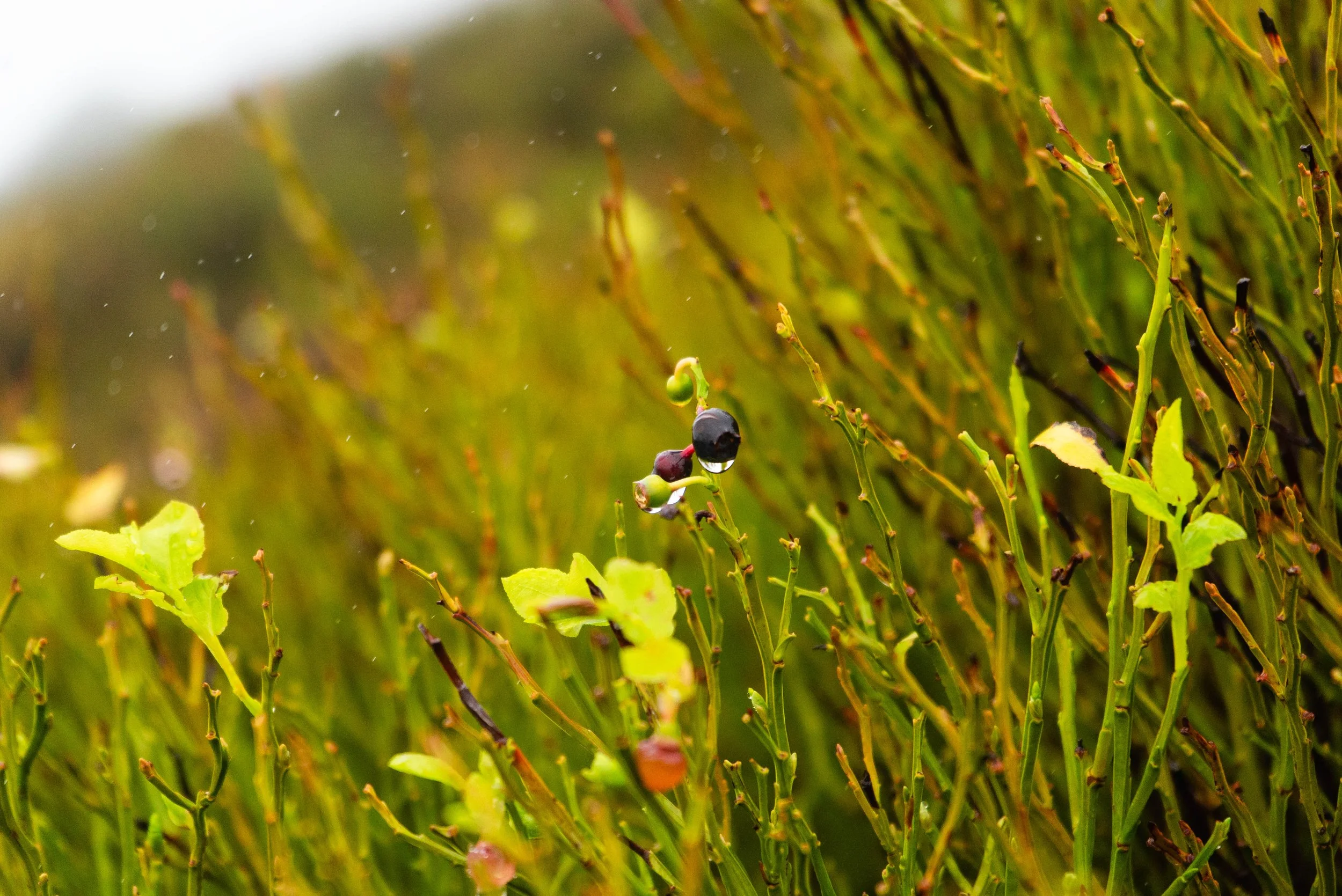
The ground underfoot when on the Little Sugarloaf is very rocky and broken underfoot, but the path is still obvious. I had somewhat underestimated the intensity of this climb given how short this overall trail is. On a clear day, there would be some great views - particularly as you descend down the other side and look towards the Great Sugarloaf and Wicklow Mountains behind it.
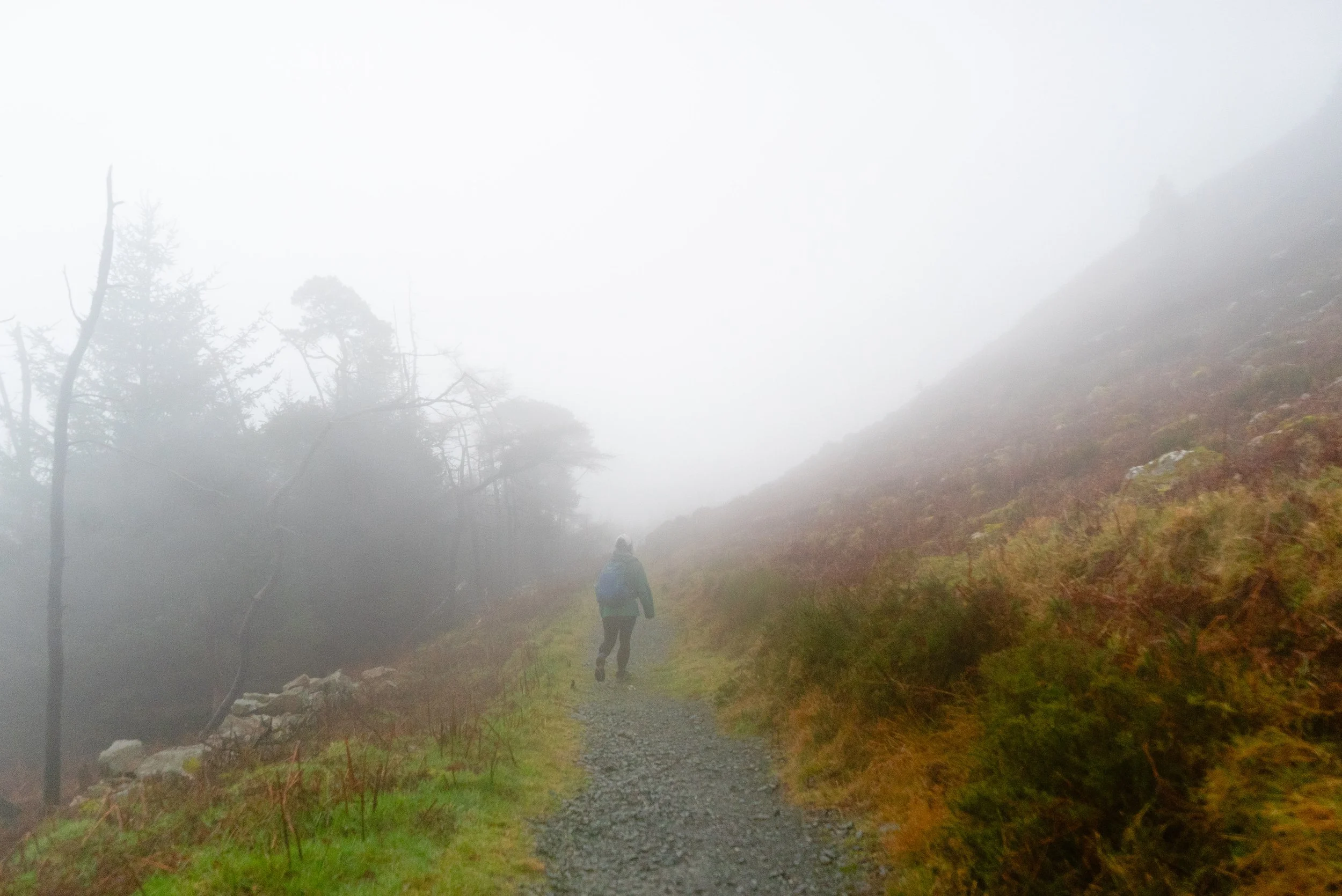
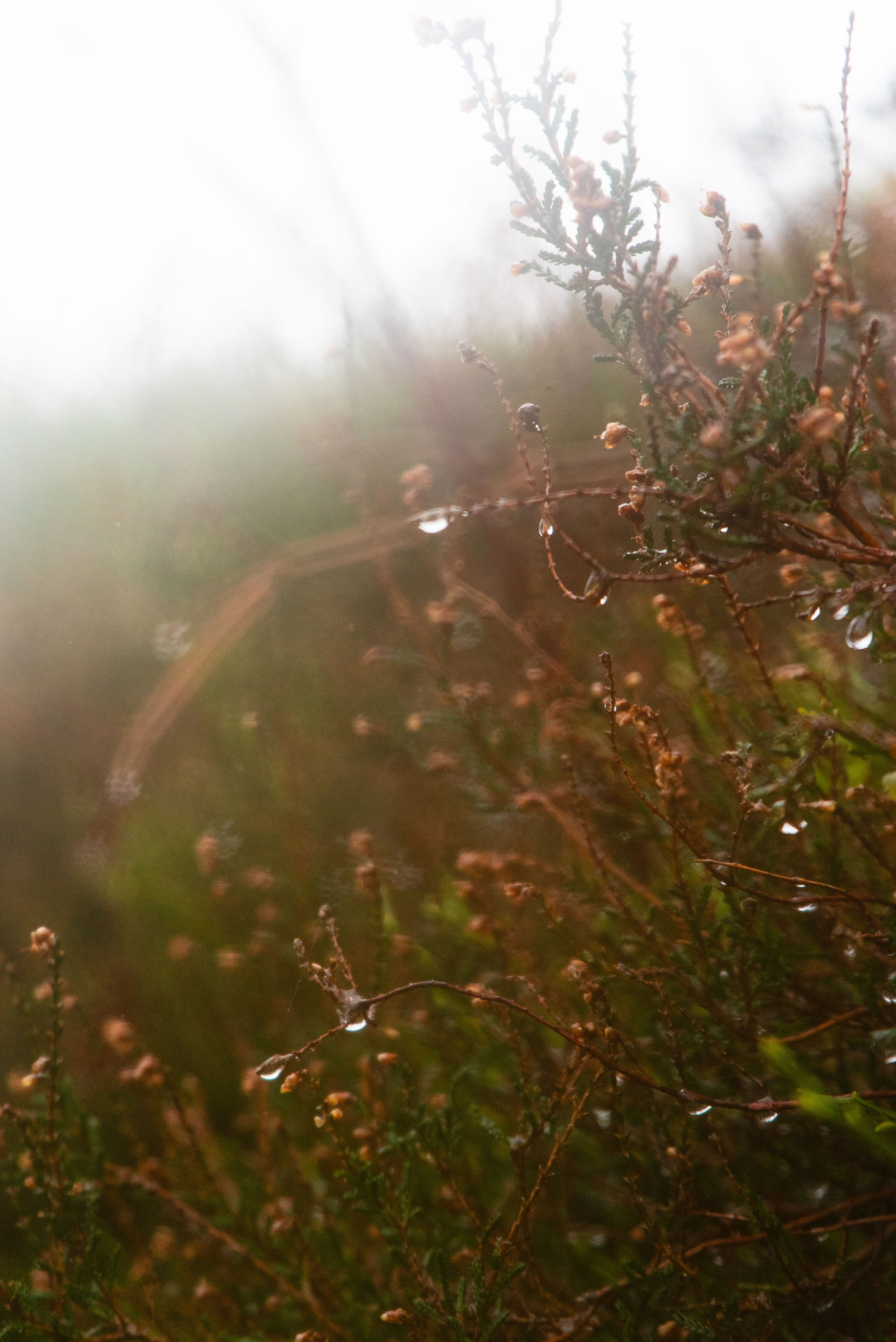
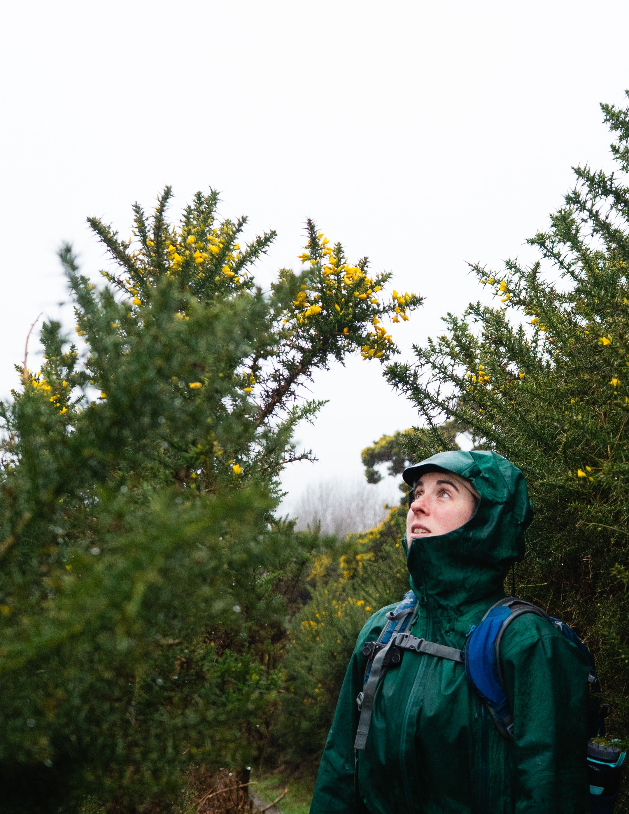
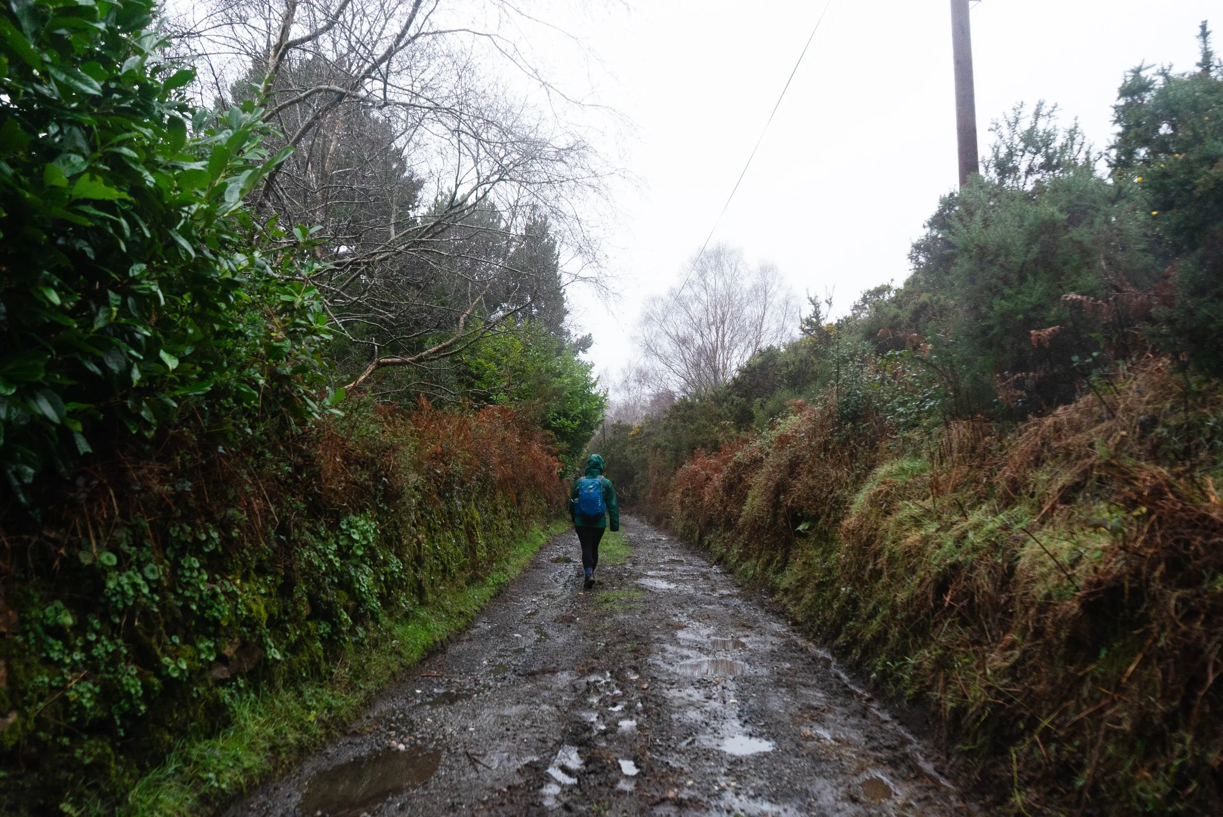
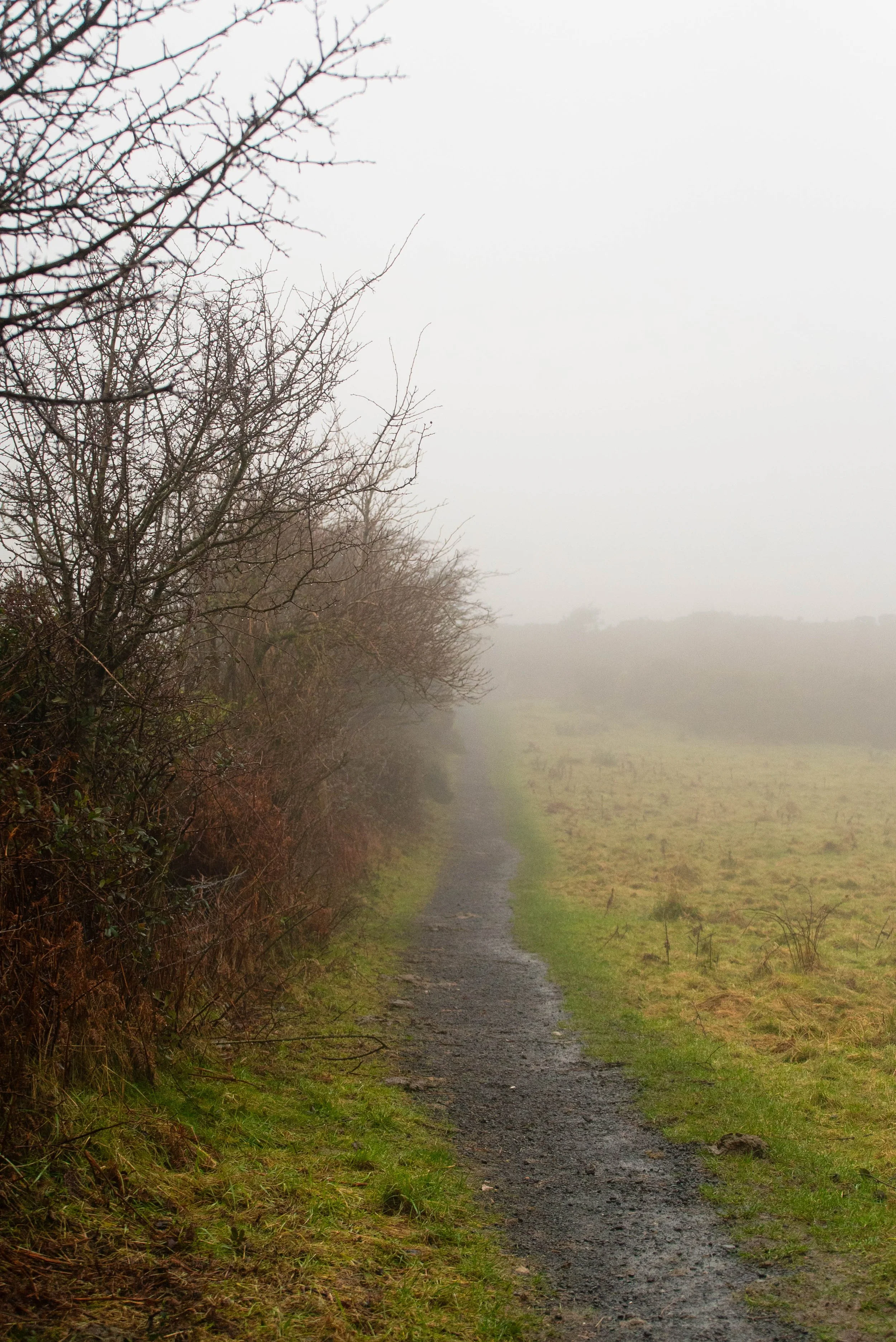
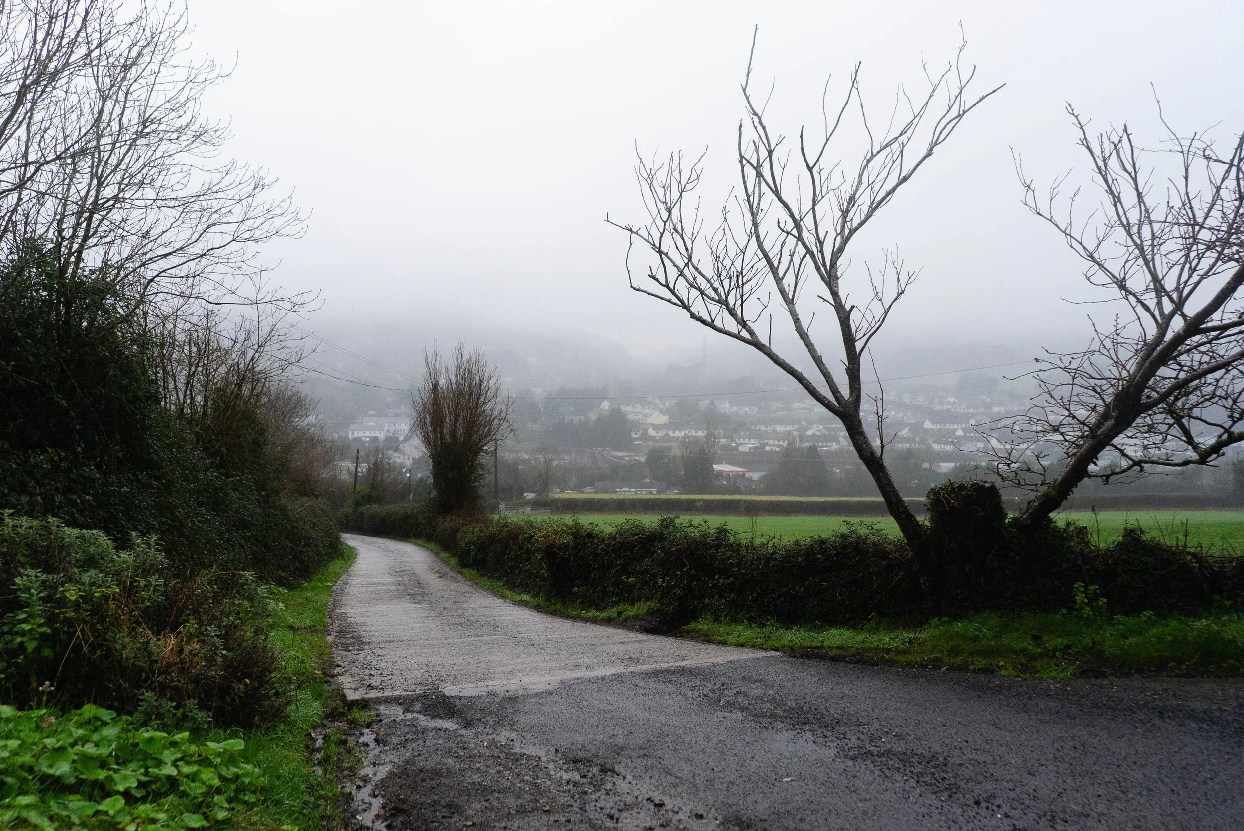
As the images might prove, this was truly a day for the ducks. Despite my sodden state, I was in high spirits as I walked the small back lanes that wind down to the valley floor and Kilmacanoge village. It’s only at this point that I realised how substantial the village is - with the N11 roaring straight through it, I’d never really comprehended that there was more than the petrol station, car park and bus shelters. But with the view of the mountains so throughly obscured, I had a lot more time to take in the school, church, and other important places that mark a place of community.
The rain shower that I’d sought shelter from in the café 4km ago had never really ended. Feet squelching, I tried to hang my wet gear around the van as well as possible, without getting everything else wet. Not for the first time, I reflected on the need to set up a proper clothes line system inside somewhere.
5km feels very short for a trail, and yet this Way passes through several distinct stages, making the whole walk feel more adventurous than you’d think possible.
If you are walking the Wicklow Uplands Way, from here you’d continue onto The Sugarloaf Way. But that will have to wait for a drier day.
Further exploring
Other day hikes in the area:
Nearby National Waymarked Trails:
Mountain Hikes:
Coffee/food options:
The Belmont Demesne: Kitchen 28 Cafe is on the grounds of the Belmont Demesne,
Berto's Pizzeria and Cafe: A really nice pizza place right at the end of the trail! (location on google maps)