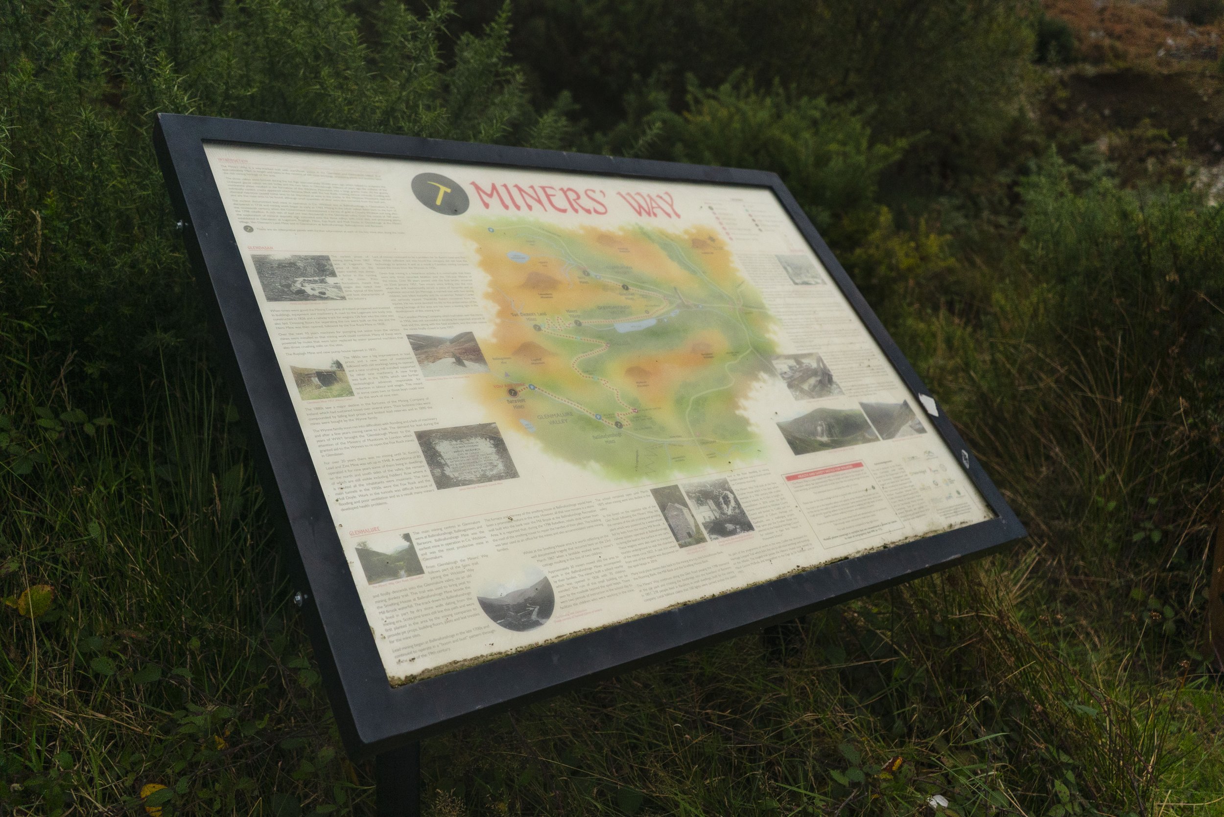
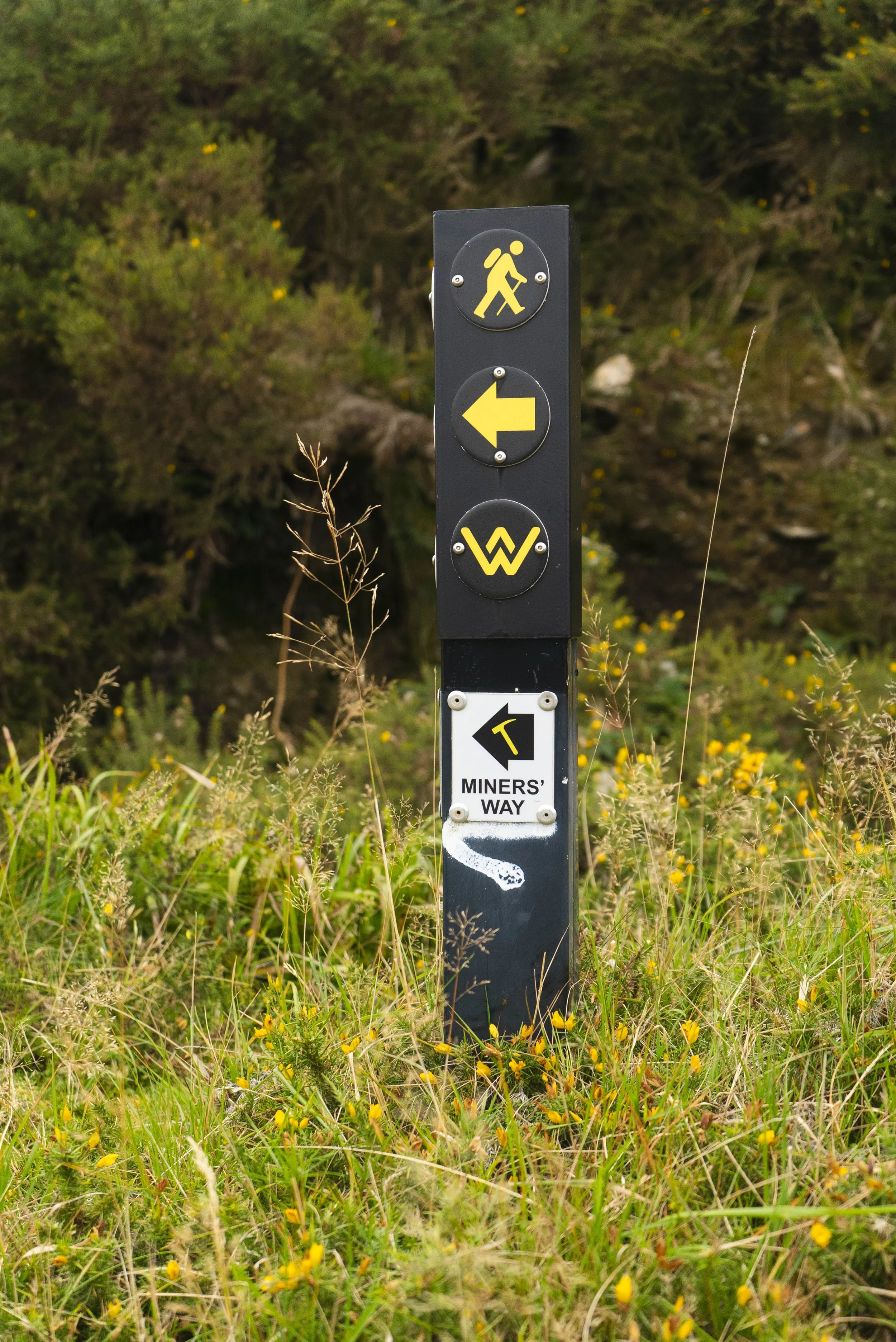
The Miner’s Way Trail takes in the three historic mining valleys of Wicklow; Glenmalure, Glendalough, and Glendasan. Climbing between these three iconic valleys, this route takes in some of the best trails that central Wicklow has to offer.
Overview:
County: Wicklow
Distance: 20km
Elevation Gain: 750m
Format: Linear Trail
Time: 5 - 8 Hours
Start / End / Parking:
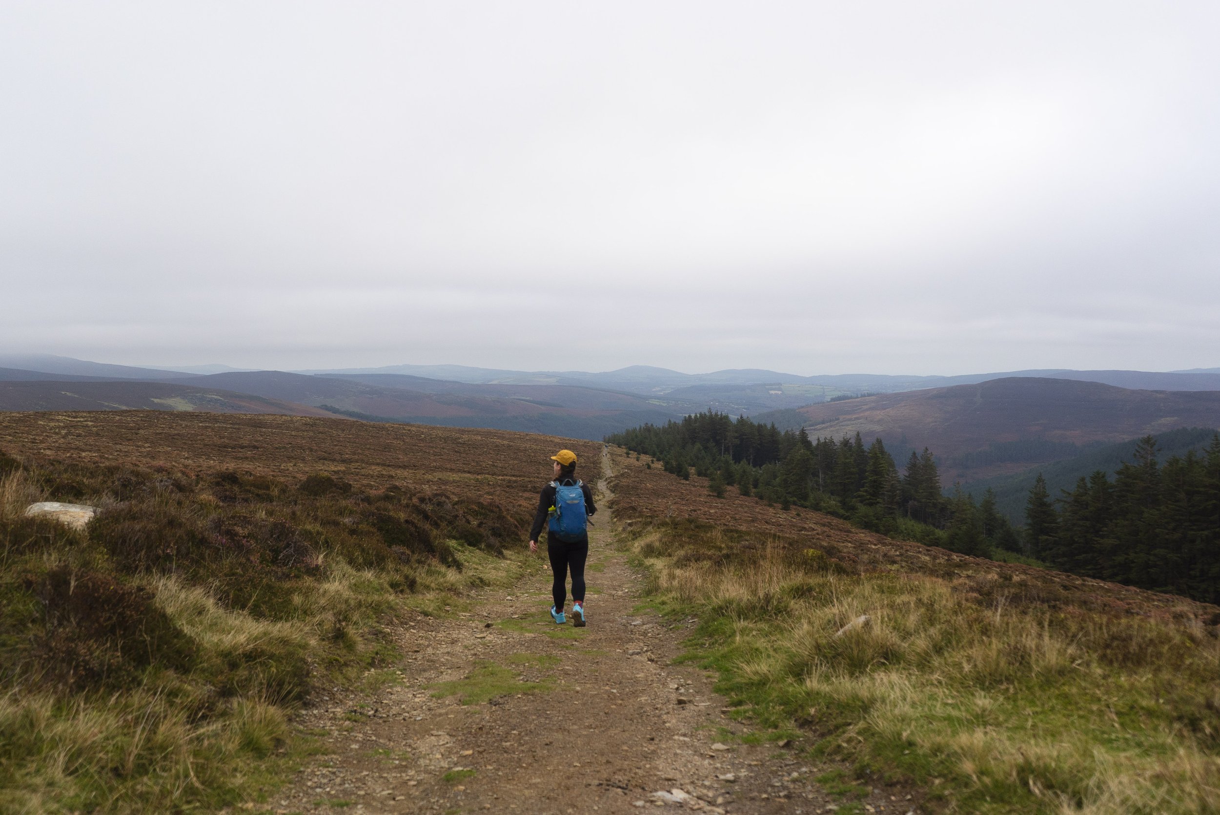
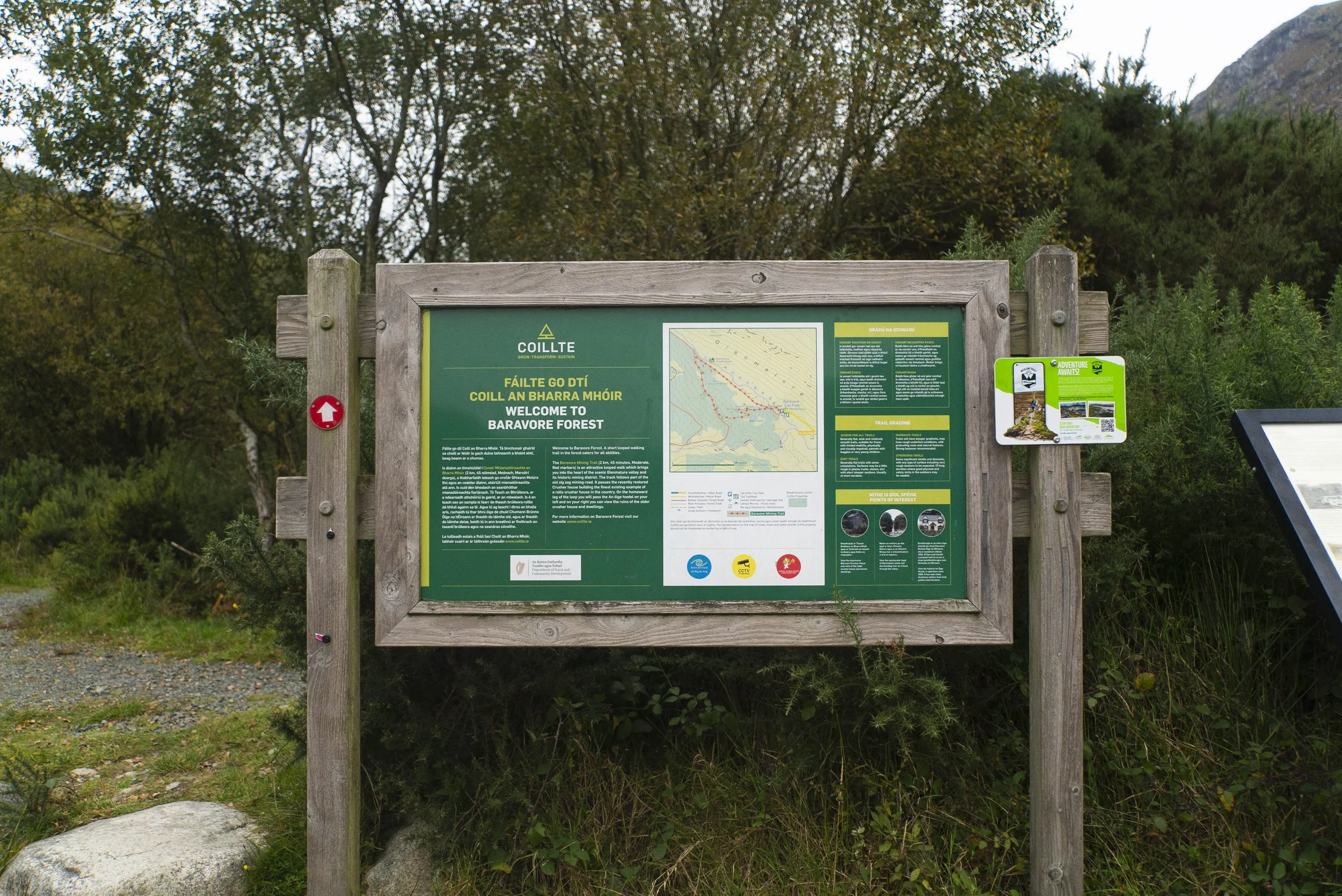
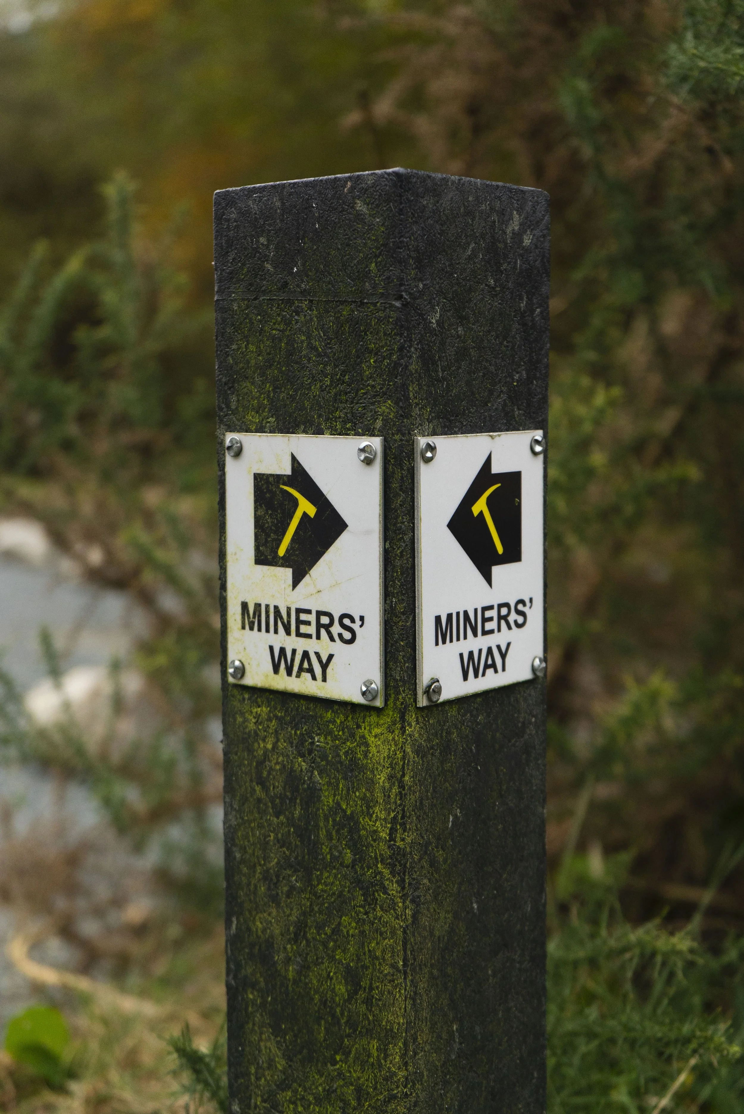
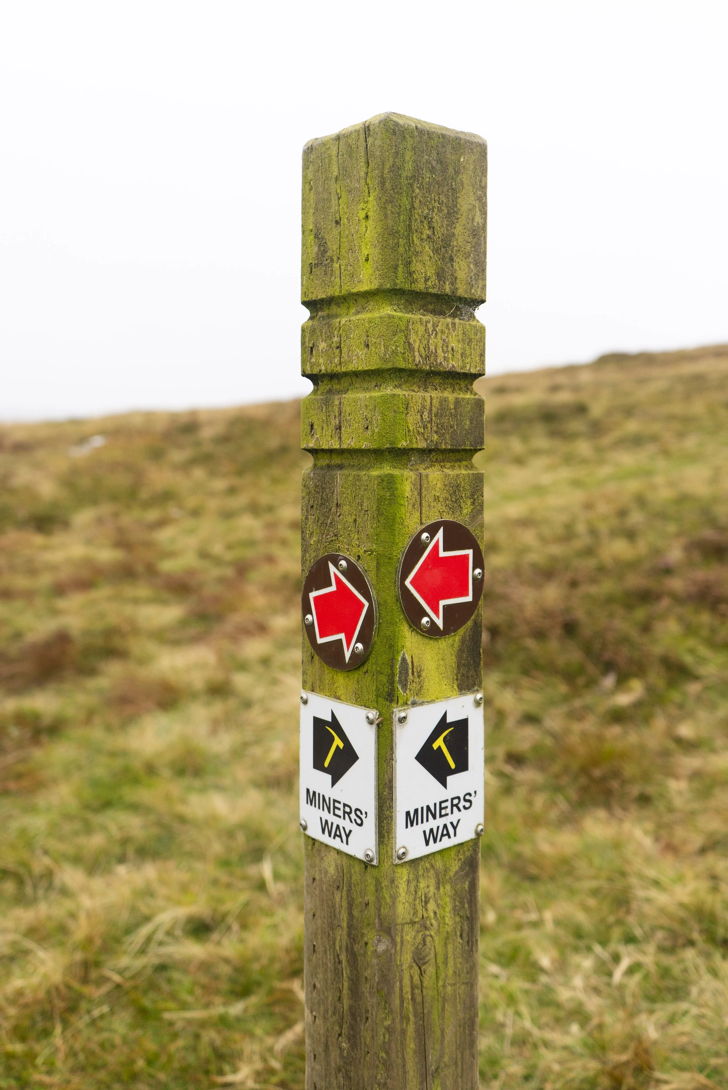
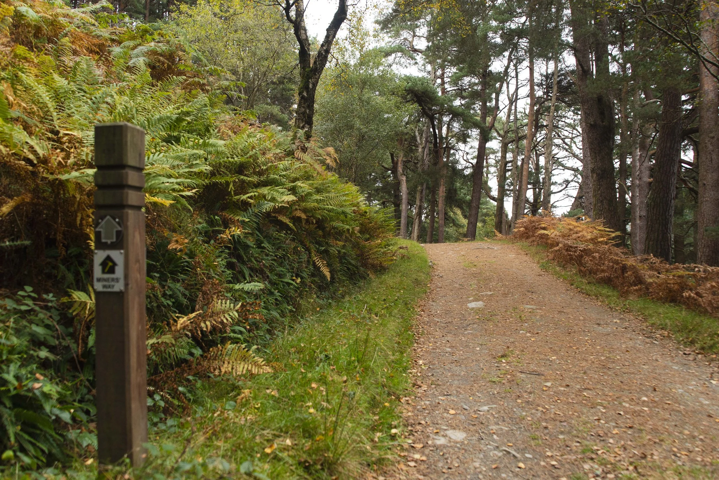
Glenmalure trailhead: The trail begins close to the bottom of the valley in the Baravore Car Park. This is a large car park (space for more than 20 cars as long as everyone parks sensibly). There’s an info board for the Miner’s Way (and other smaller loops) beside the river.
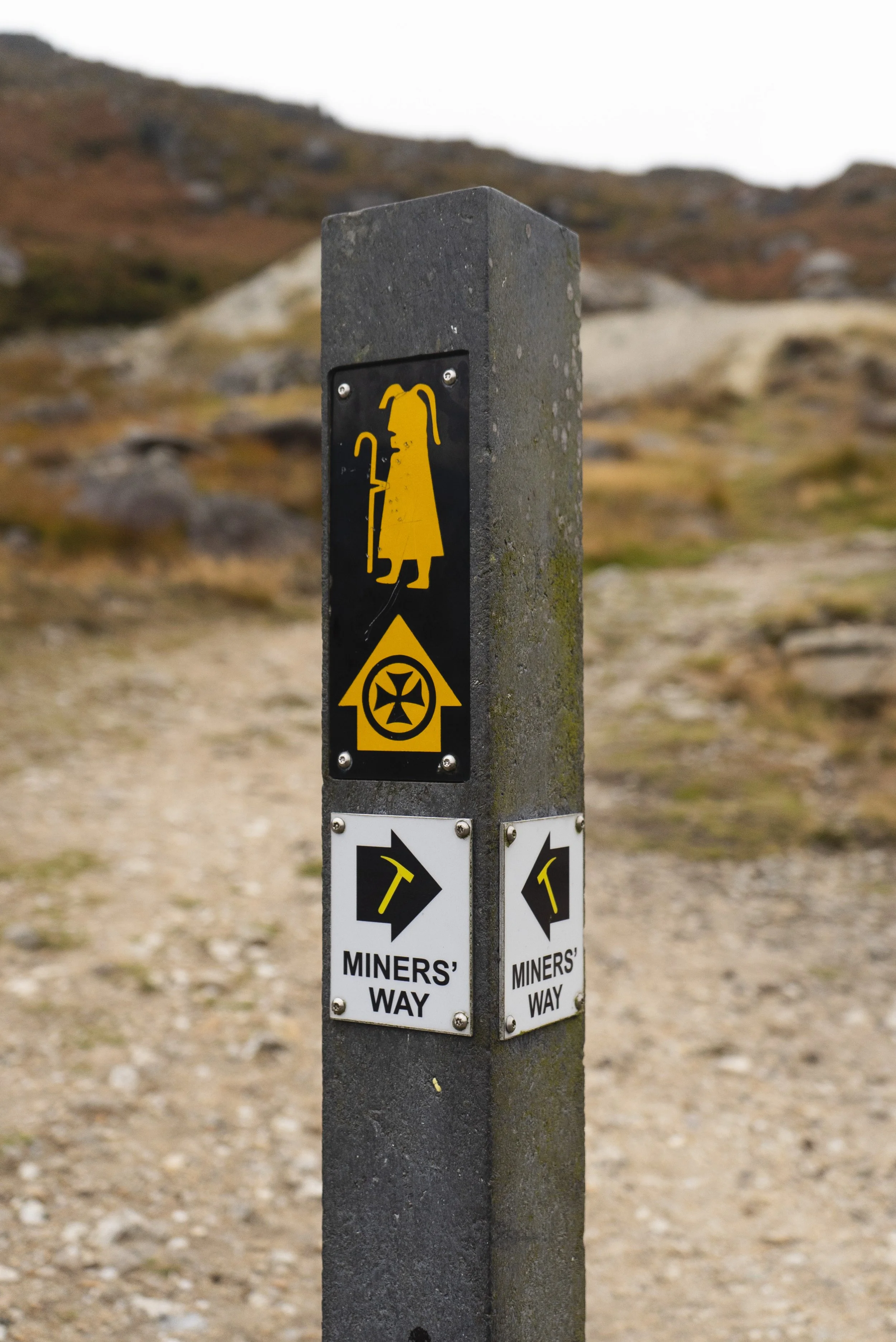
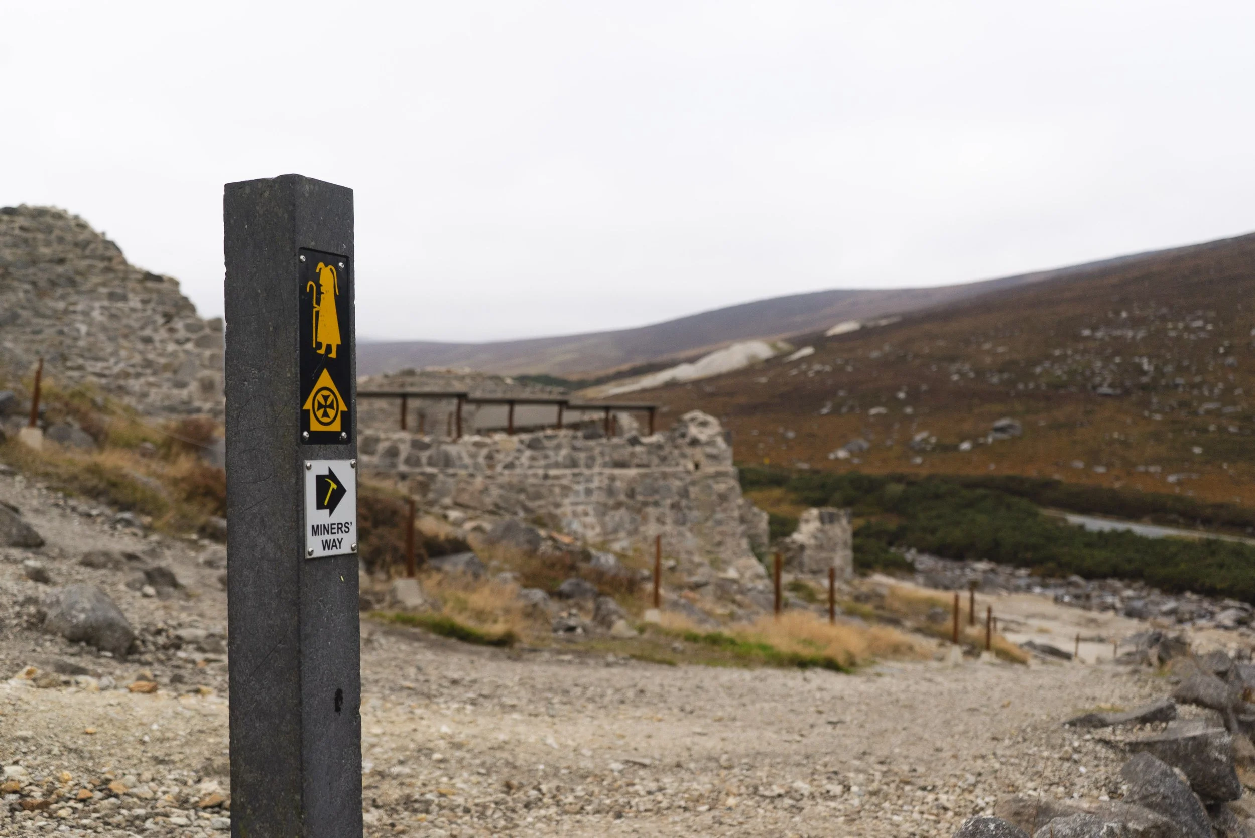
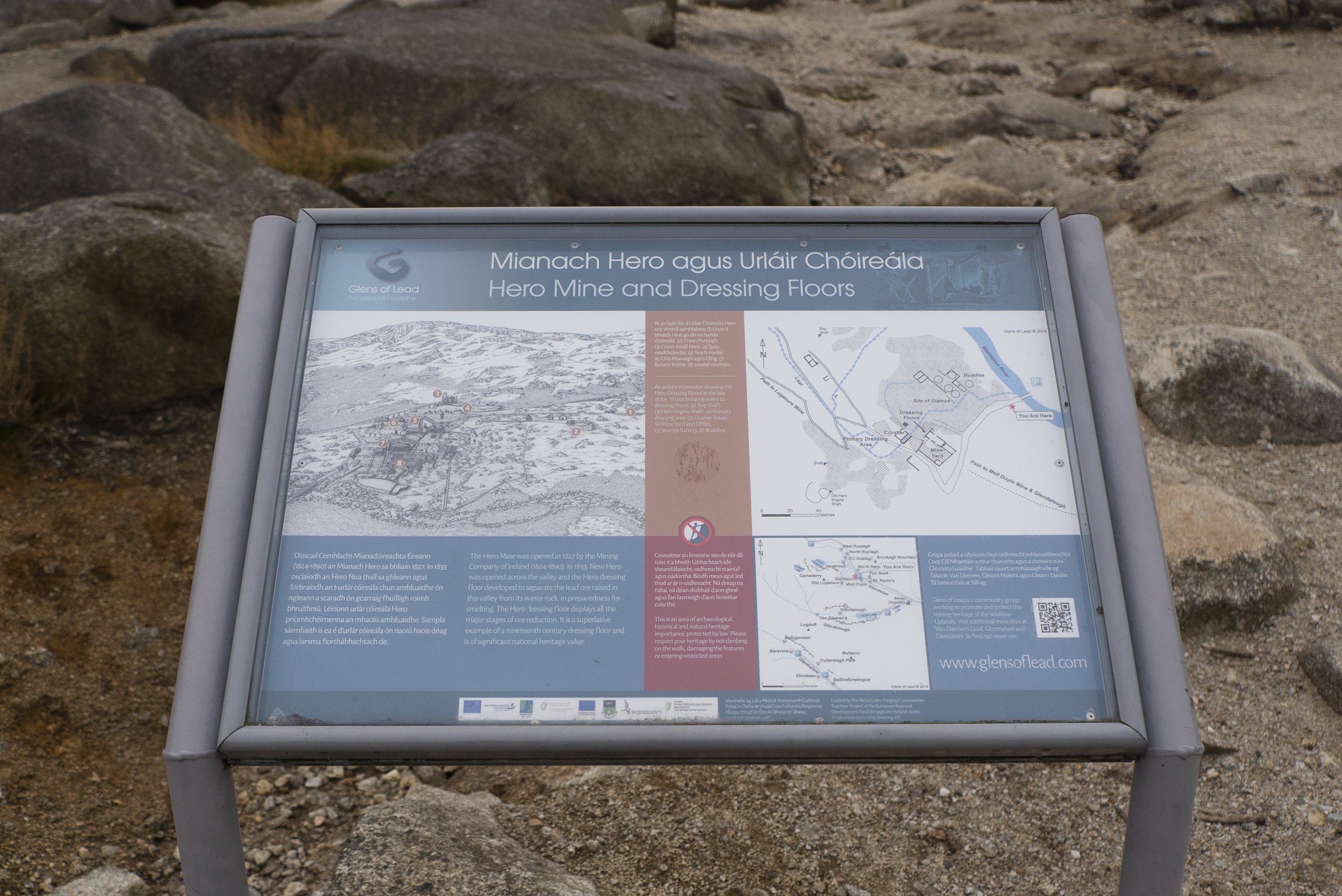
Glendasan trailhead: The trail finishes at one of the smaller car parks half way up the Wicklow Gap, beside the Hero Lead & Zinc Mine ruins. There’s space for maybe 8 cars (further up the gap there is a larger car park, if you have several cars).
Public Transport:
There’s a pre-bookable bus organised by WicklowWay.com
The Local Link connects Laragh / Trooperstown and Rathdrum (ad-hoc scheduling, planning required)
The Glendalough Bus / St. Kevin’s Bus links Dublin city centre and Laragh village.
Trail difficulty: Easy - Moderate
The trails are all well defined. The elevation gain across the route is what pushes this trail into the “moderate” category.
Read about trail grading in Ireland here.Trail quality: 5/5
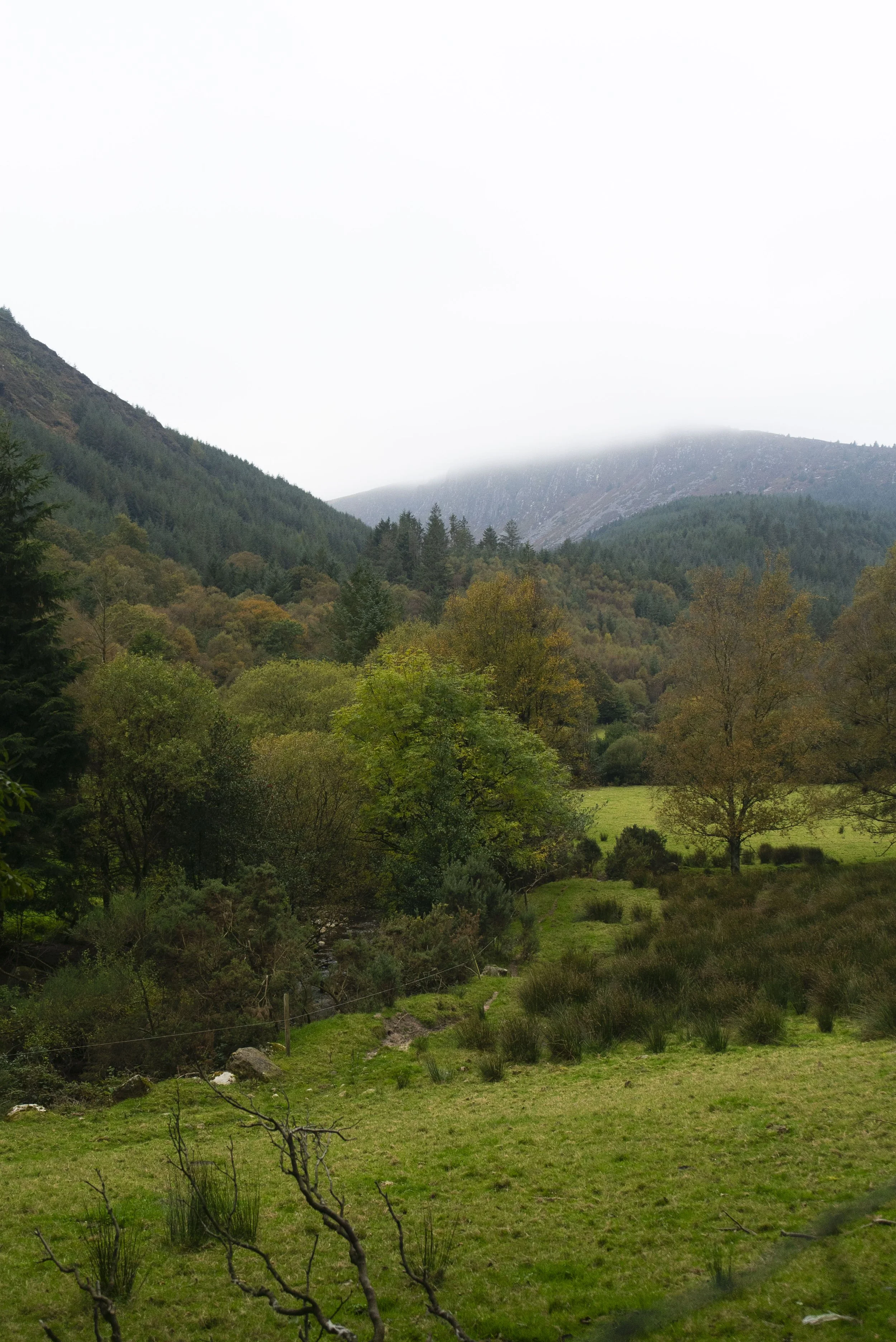
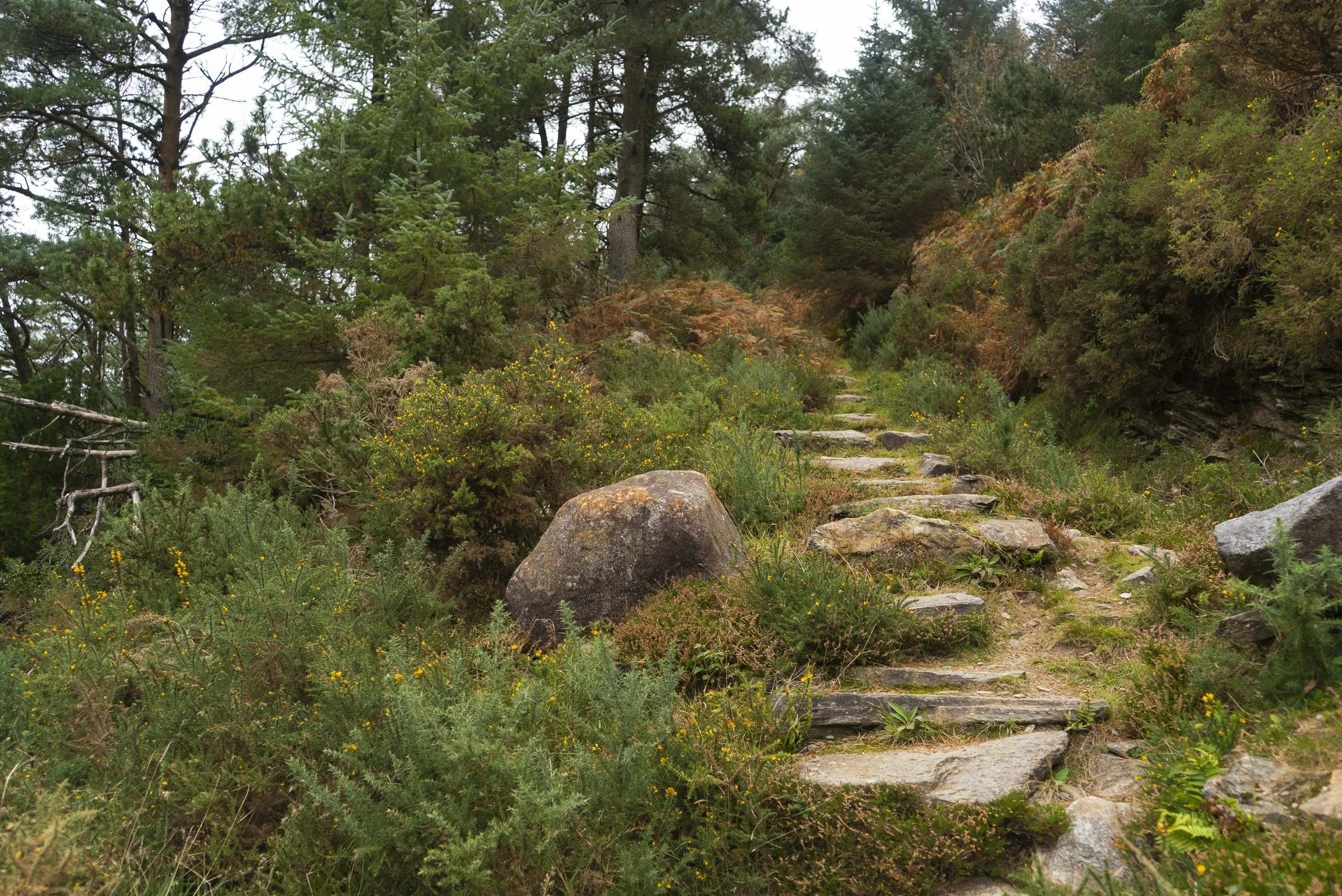
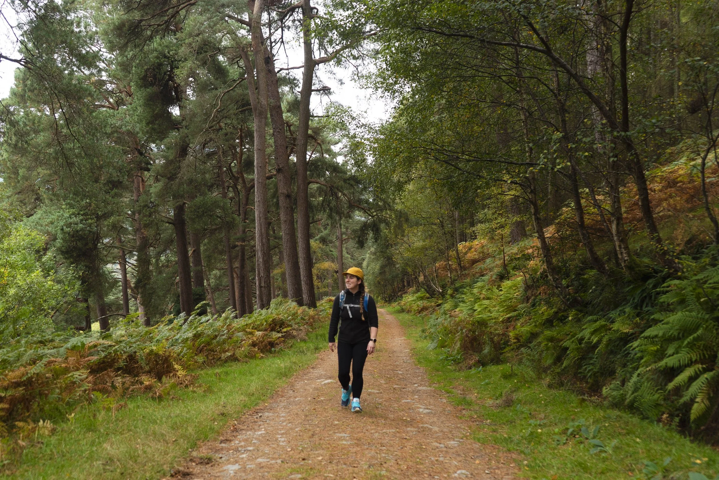
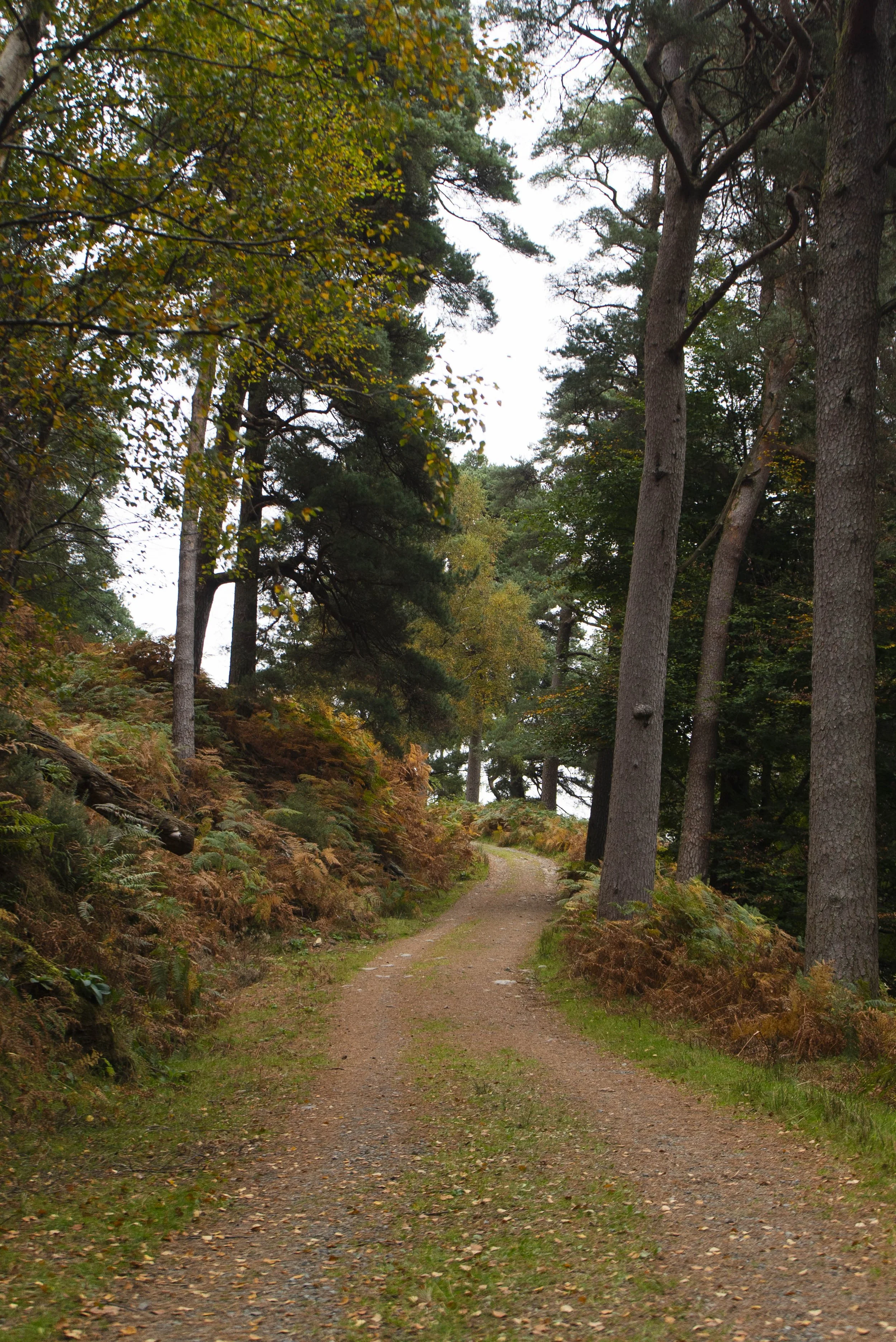
There’s maybe 2km of road walking from the Baravore Car Park to Ballinafunshogue Waterfall where the trail begins to climb up out of the valley - and that’s it for road. The trails across the three valleys are all well defined and vary underfoot.Views: 5/5
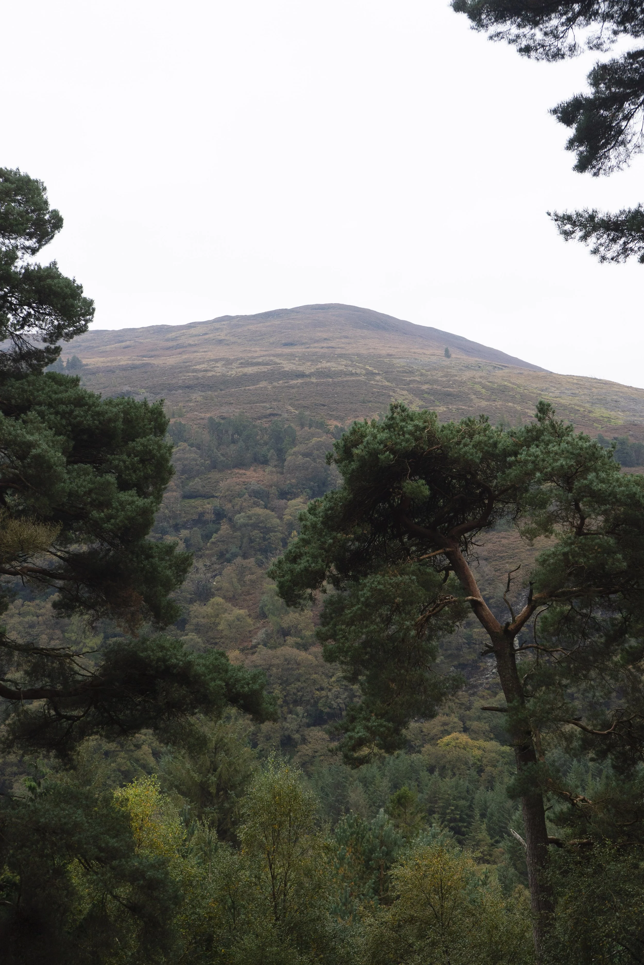
This route takes in some of the nicest trails between these three valleys.Buggy/Wheelchair friendly: No
When did I walk this route: October 2025
Dogs allowed: Yes
External Links:
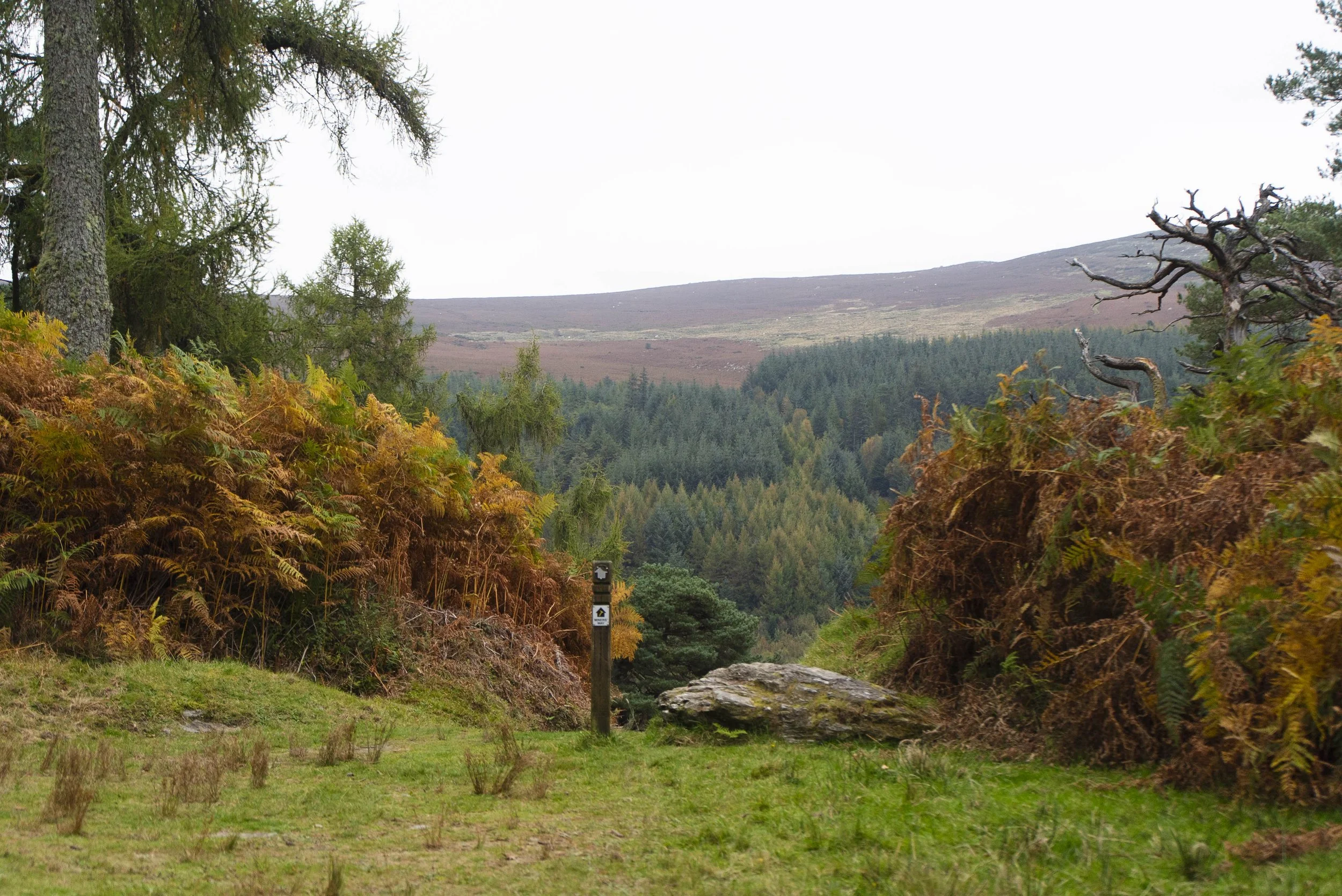
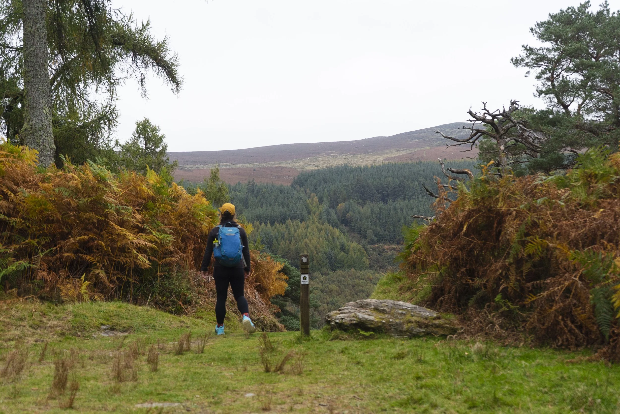
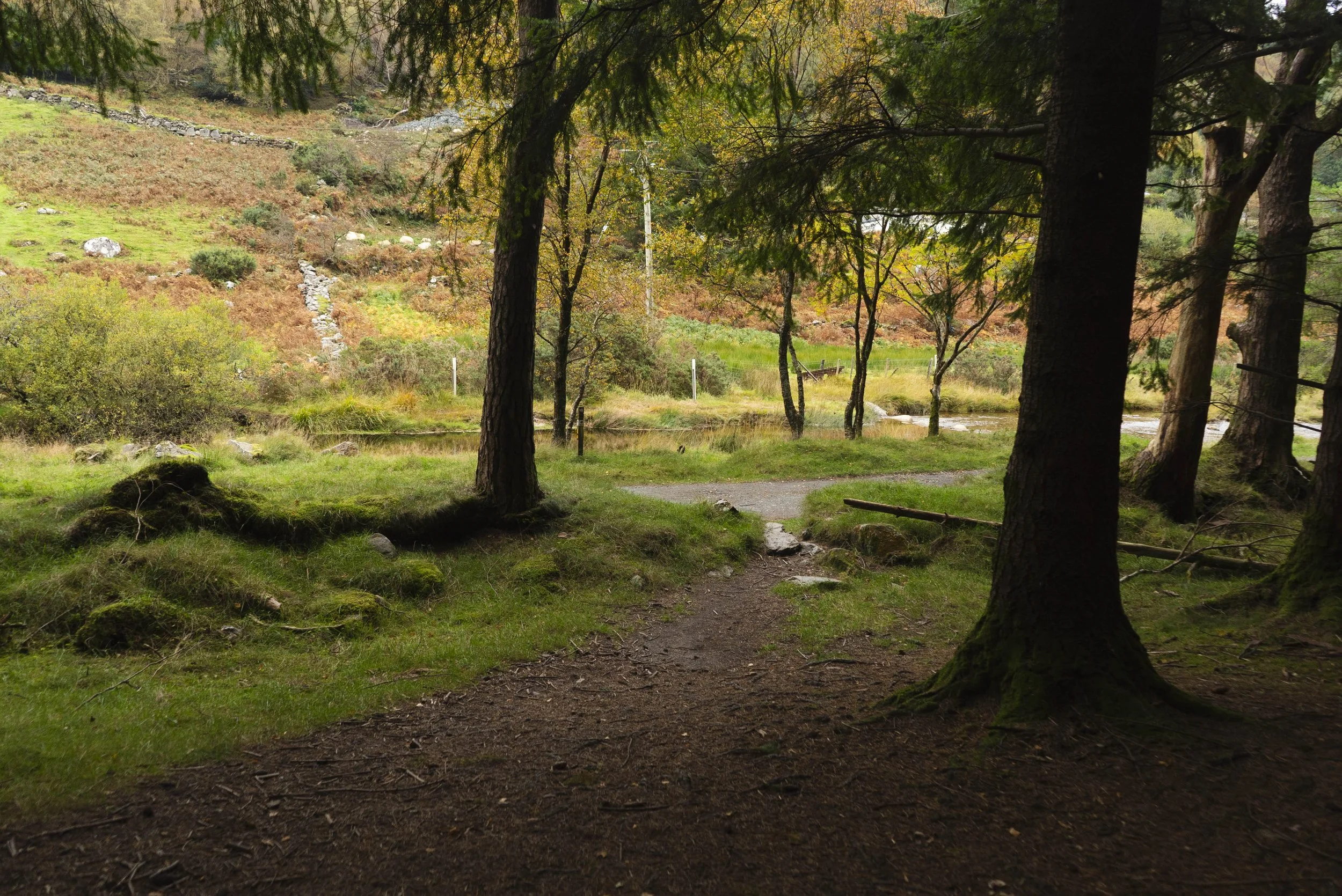
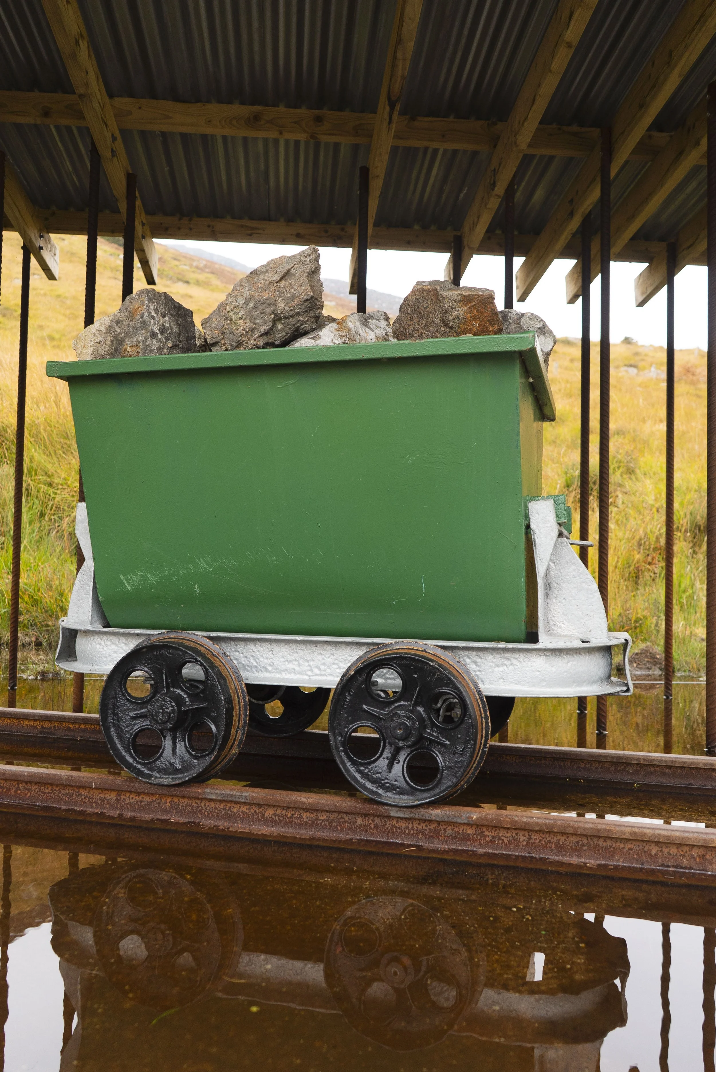
The Baravore Car Park is large and easy start point for this trail. If you want to explore some of the immediate mining history, there’s a 2km looped trail that takes in the old mining infrastructure beside the river, before beginning the Miner’s Way proper.
The first 2km of this trail are the only road walking you will experience on the whole route - and this road is small enough that it’s not a hardship. You will probably meet a car or two as others make their way into the area for their own adventures.
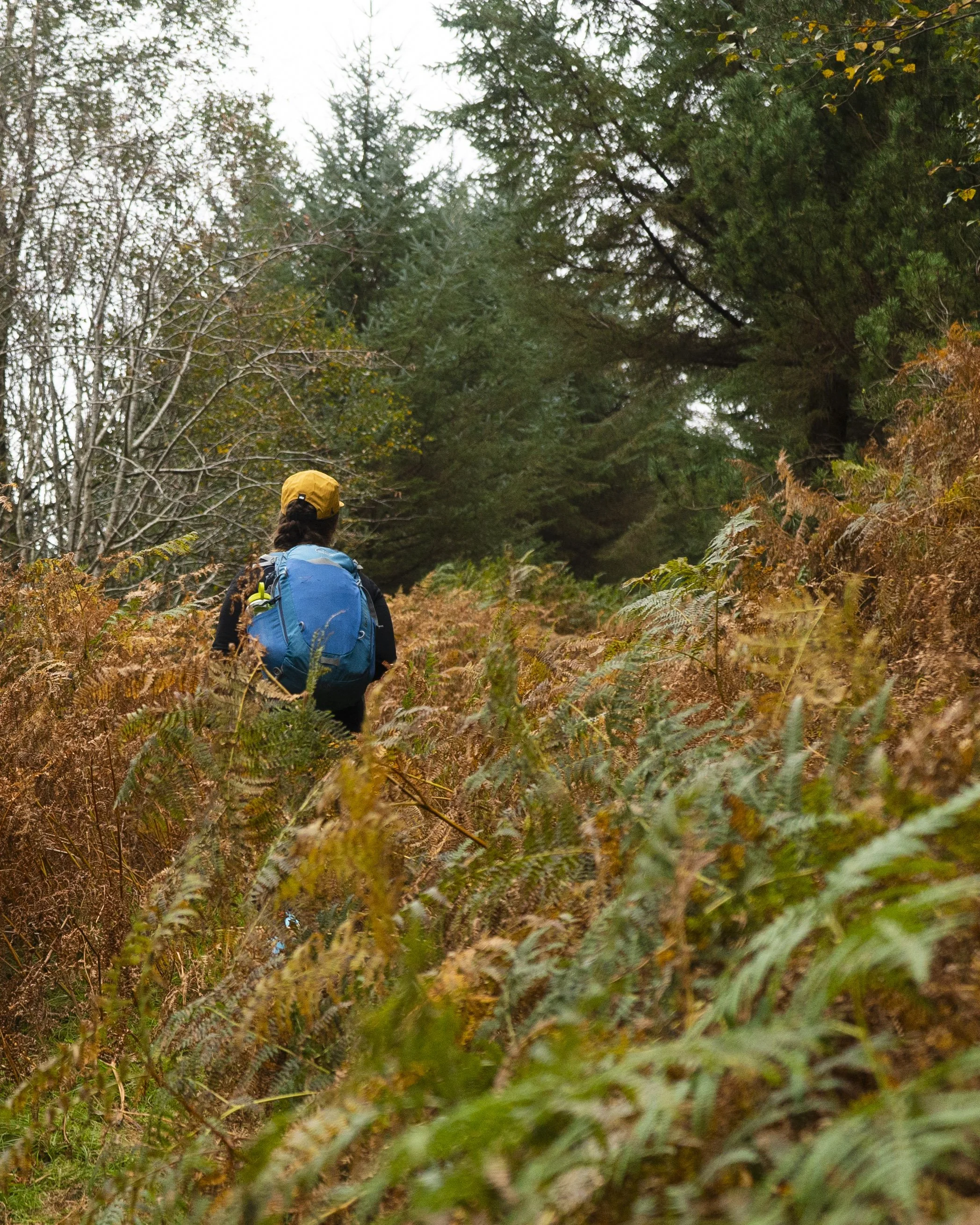
Reaching Ballinafunshoge Waterfall, the trail turns off the road and you begin the first of three major climbs. This forest contains the oldest documented lead mine in Wicklow, and was the most productive in Glenmalure. The path you follow up this steep slope is the old donkey trail that connected the mines in the two valleys, and in the lower sections of the forest you can still see the old dry stone walls built into the switch-backs.
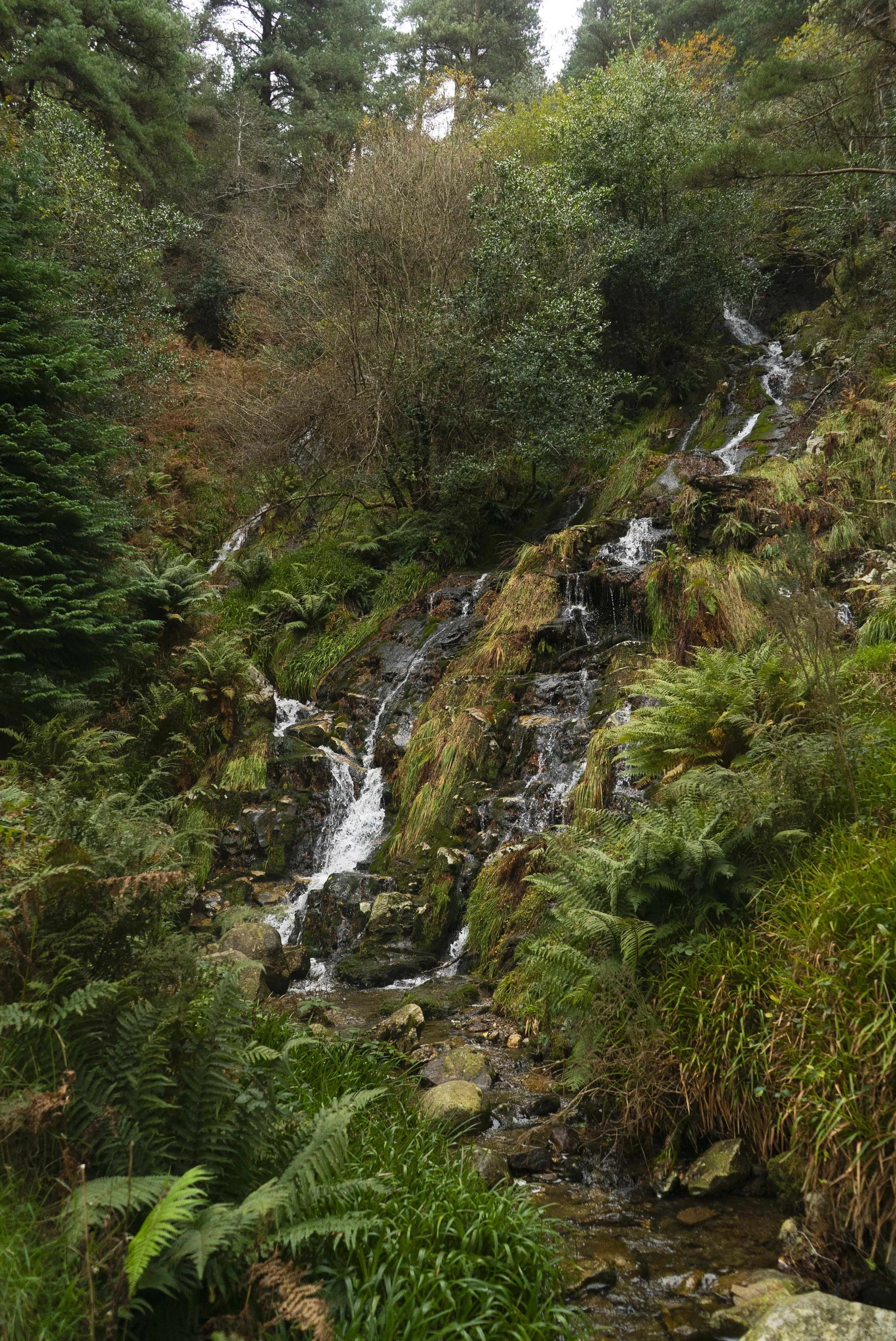
Part of this climb takes in a section labelled “Tunnel of Love” on the EastWest maps, which having completed it, I assumed was named as such because at this point the constant climbing would spike anyones heart rate.
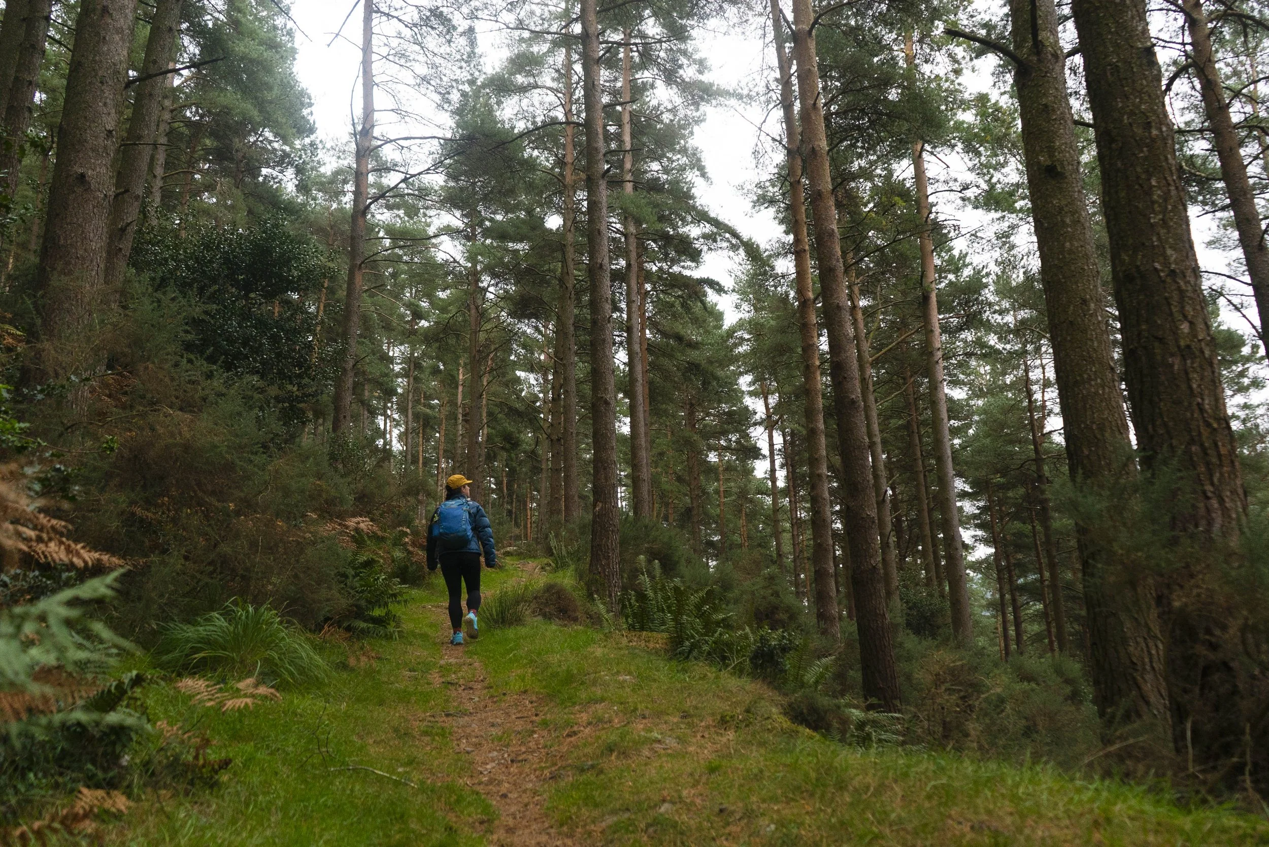
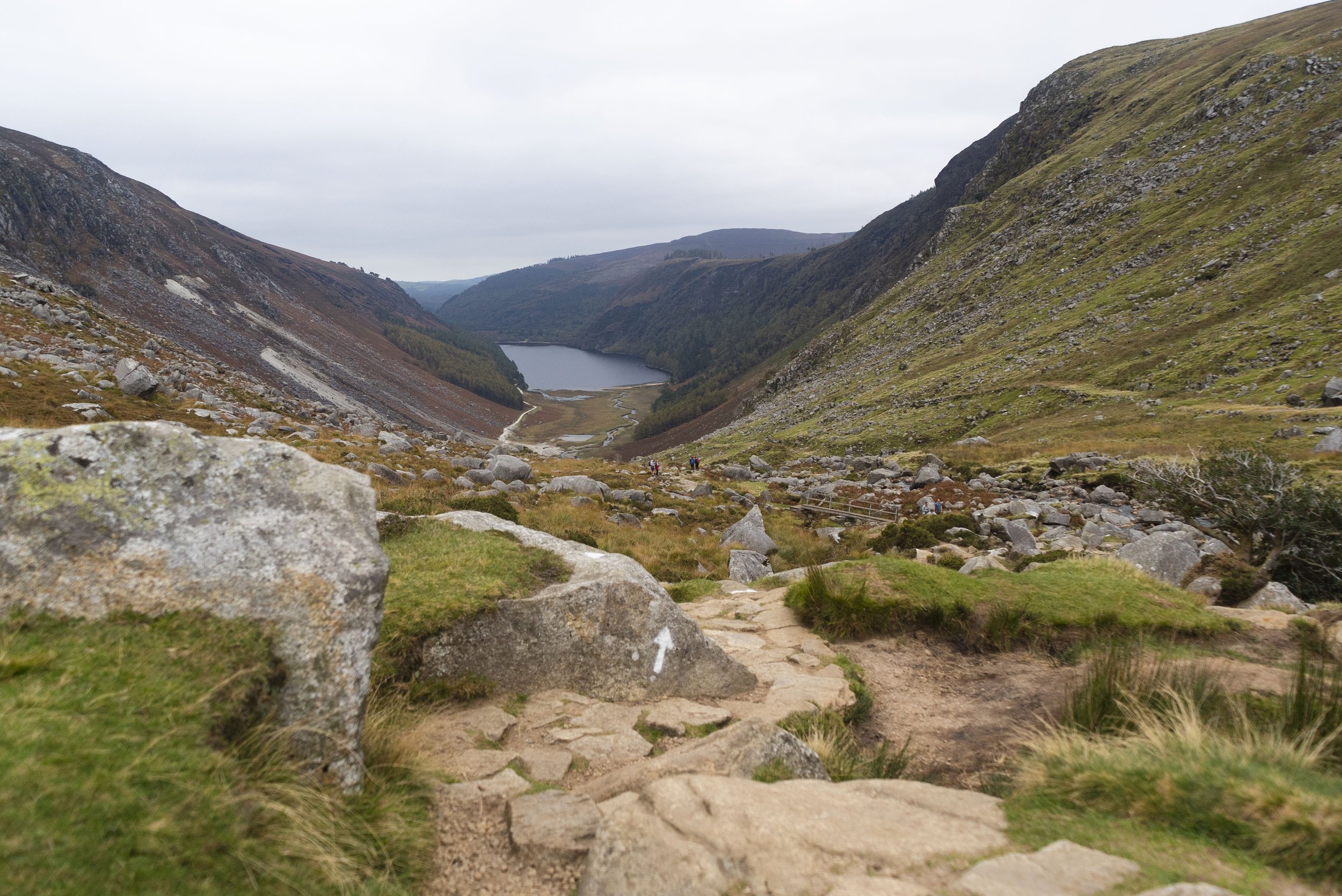
This is the longest of the climbs, and as you climb higher and higher up the side of Mullacor, you join paths with the Wicklow Way. Reaching the col to the west of Mullacor (Lugduff Gap), the Miner’s Way keeps left while the Wicklow Way descends down to the right through the forest. If you’re walking the Wicklow Way, I always recommend taking the left here and coming down through the Glendalough Valley either by the Spinc or the Miner’s Way - the views are far better from these trails of the stunning glaciated valley.
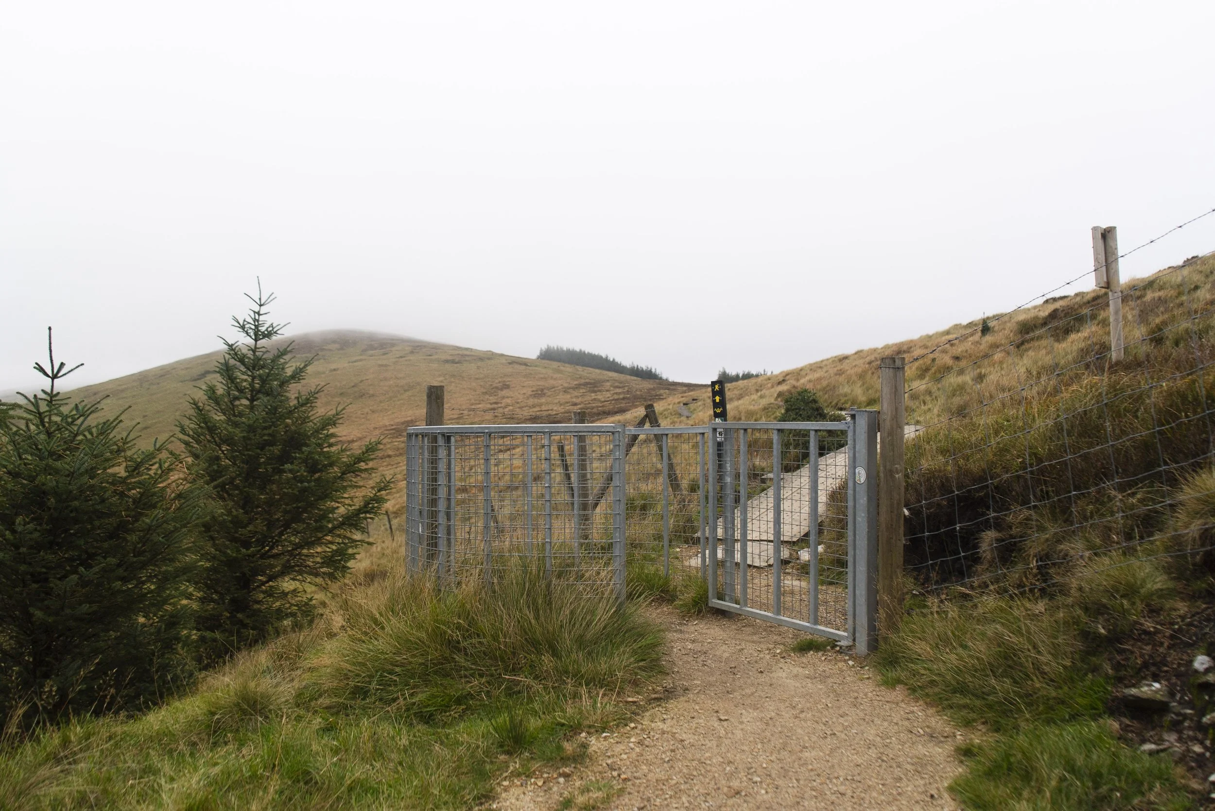
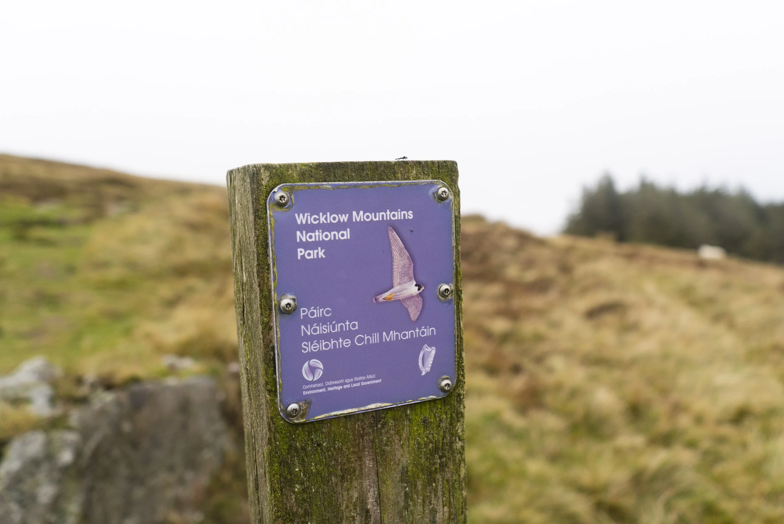
It’s also here that you enter the Wicklow National Park, marked by a small purple marker on a post. If you do any amount of hillwalking in Wicklow these signs will become a familiar site. The actual shape of the National Park is unconventional (although most of our parks are odd shapes), and has no built boundaries in the hills.
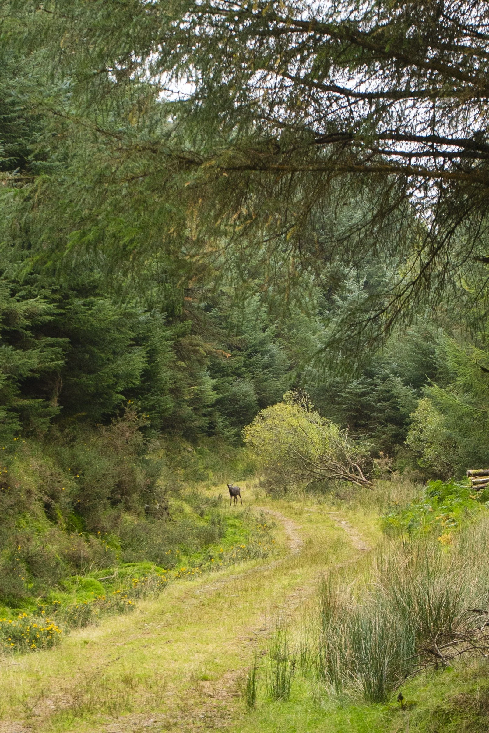
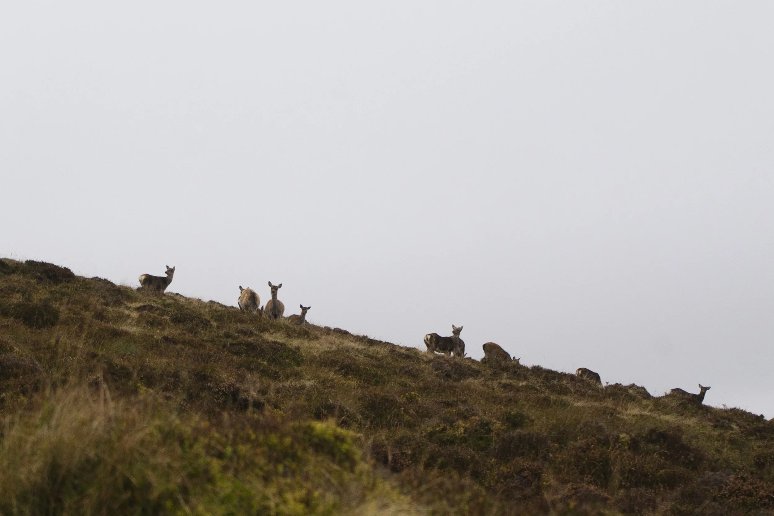
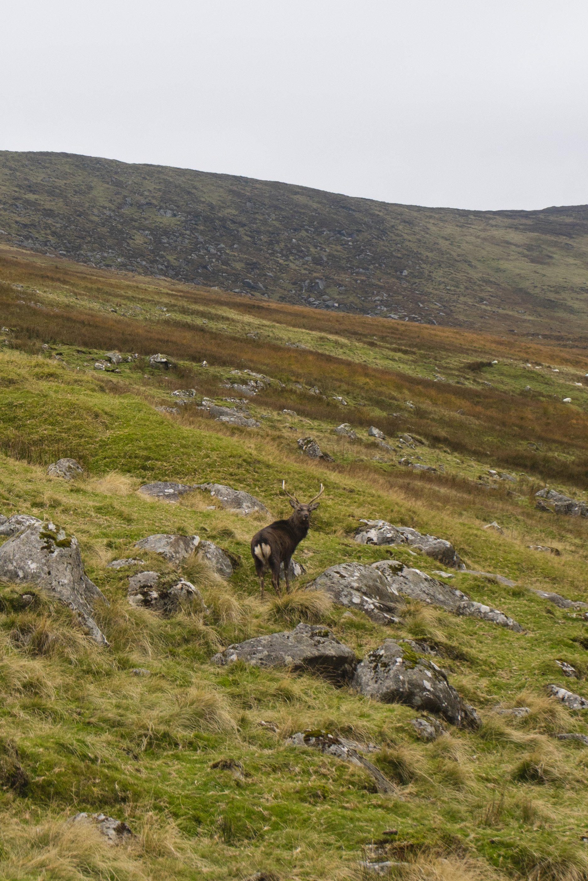
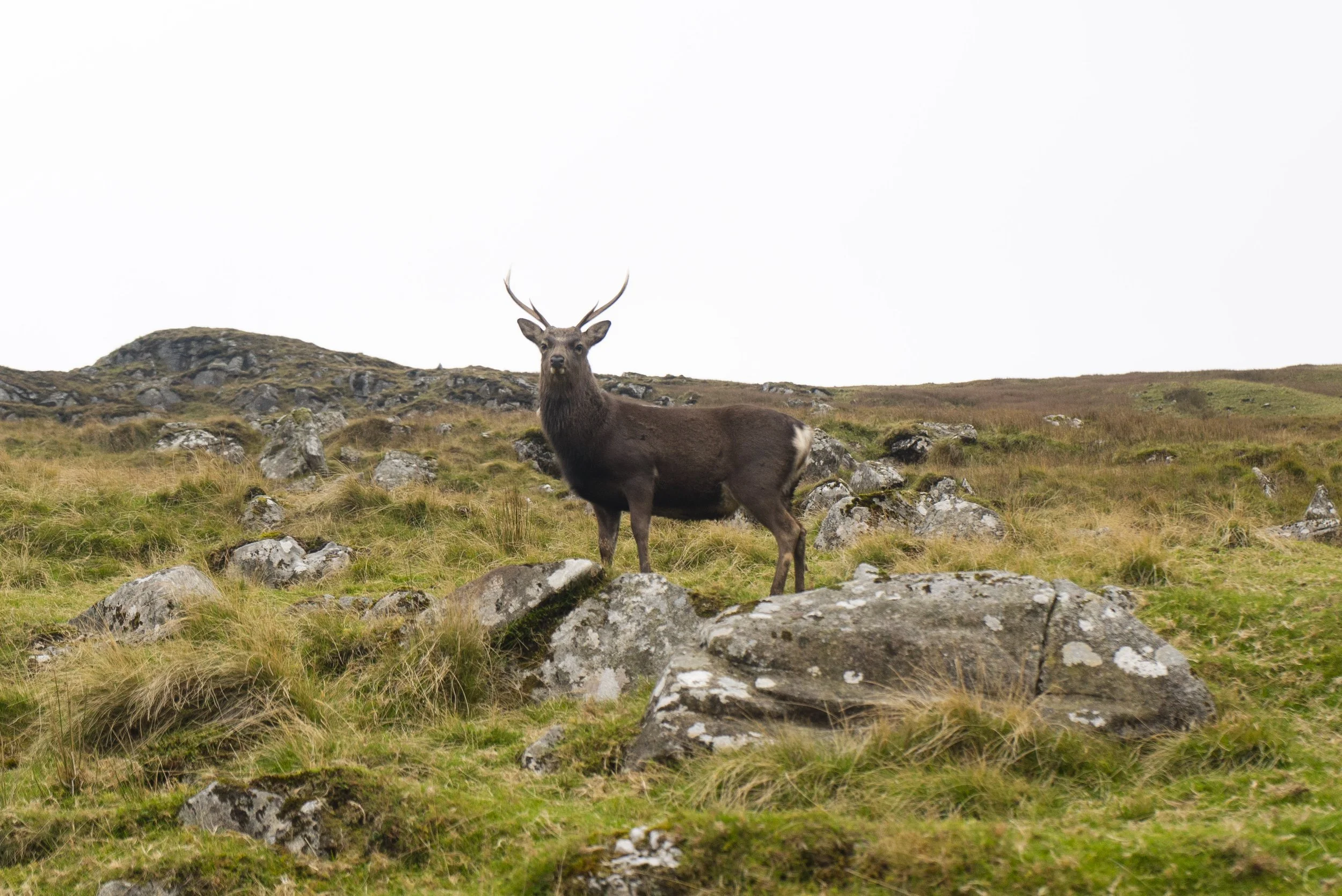
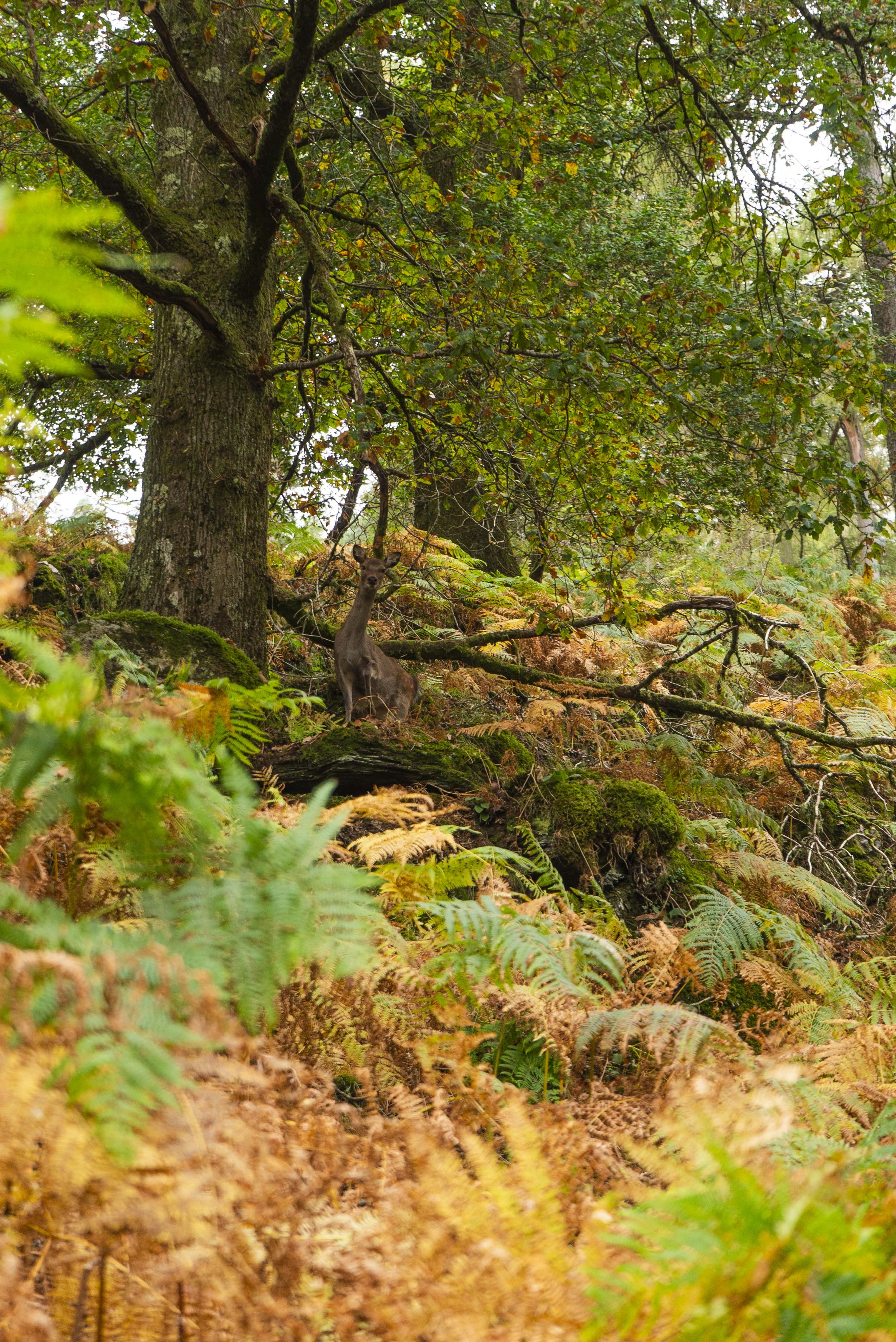
Walking this trail in October I was treated to many deer sightings as it was official rut season. Large groups of does roamed together with their chosen stag, while the young bucks bayed and hollered in the echoing valleys. Because Glendalough is such a high-volume area, the deer see it as an easy place to possibly nibble some extra snacks and have almost no fear of walkers or tourists. It makes it an easy spotting area, but I was a little weary of the larger antlered fellows wandering the walking trails.
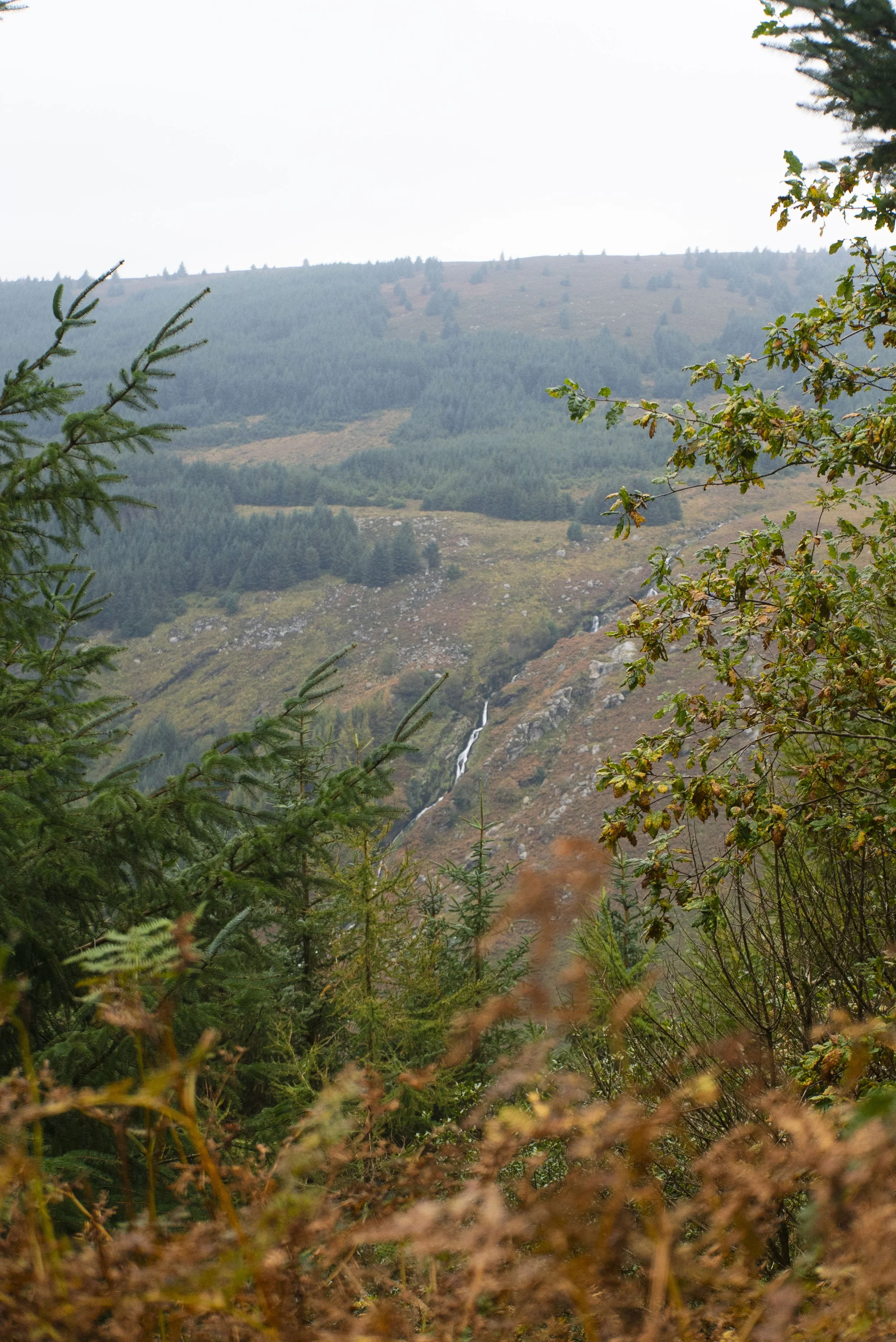
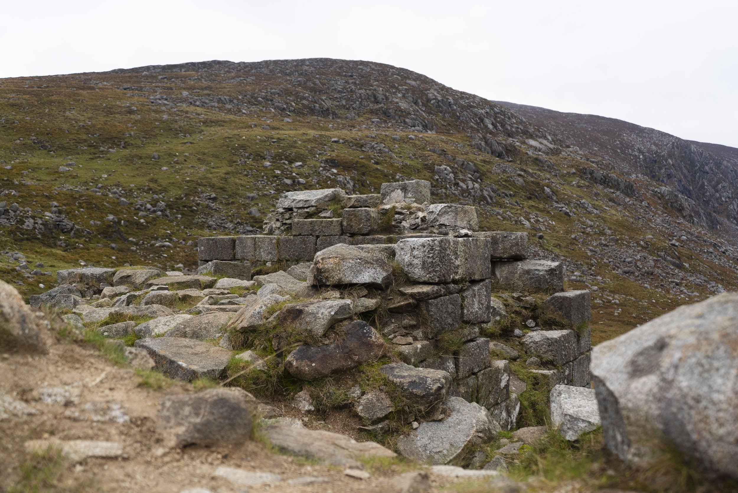
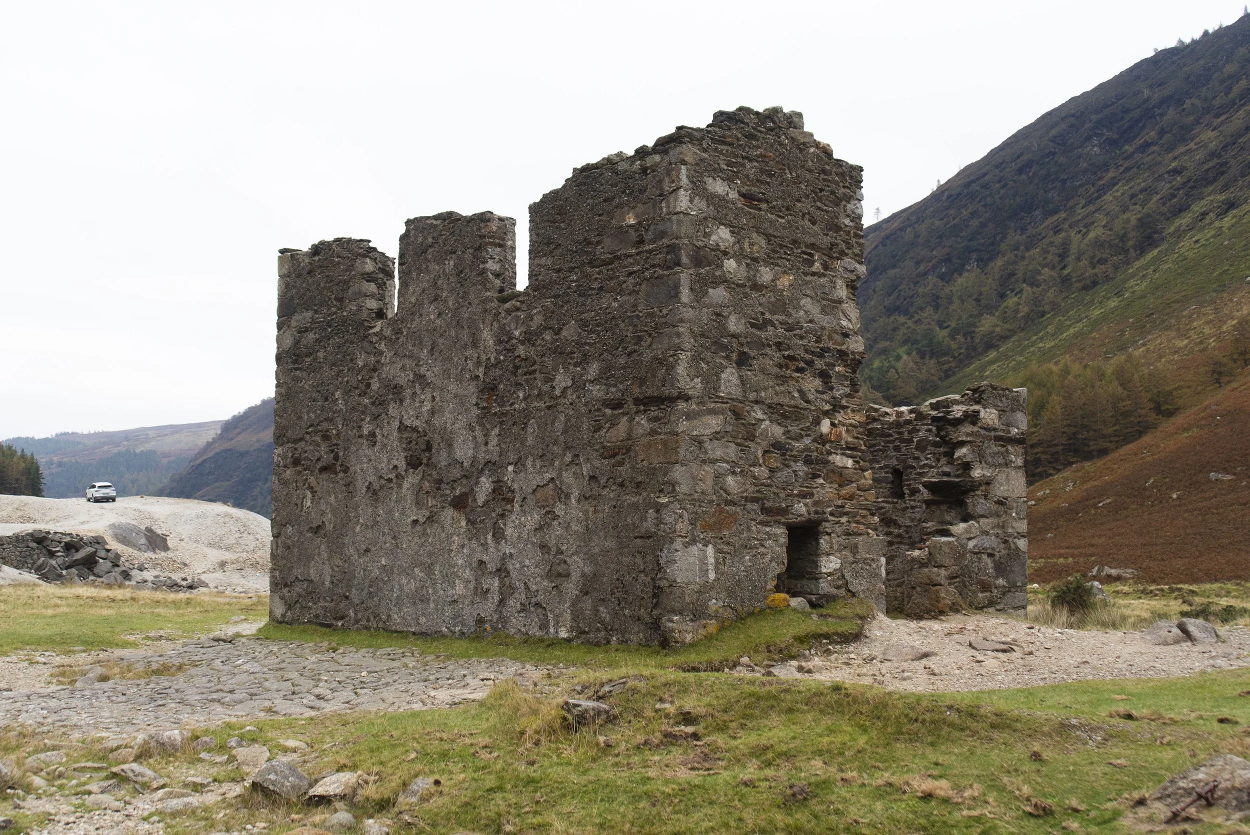
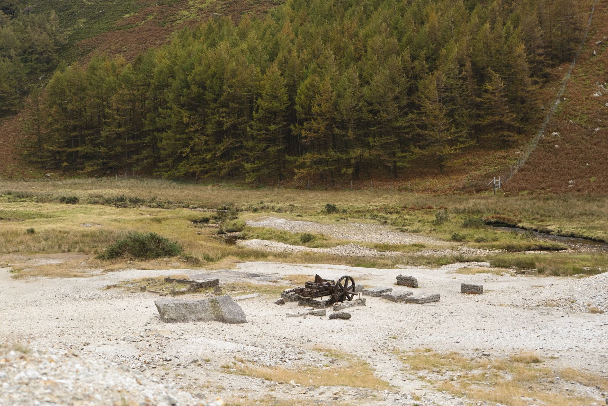
Coming around the far side of Lugduff, the first mining remains you come are Van Diemen’s Land Mine, named by the miners after a colony in Tasmania - because the top of this valley felt so far away from populated life. Overall, the mining in Glendalough never really took off, but its impact is widely visible from the ruined buildings to the slag heaps up on the valley walls.
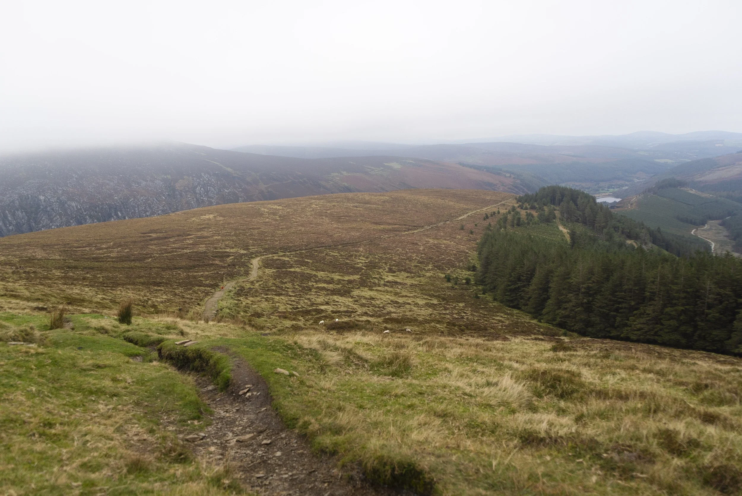
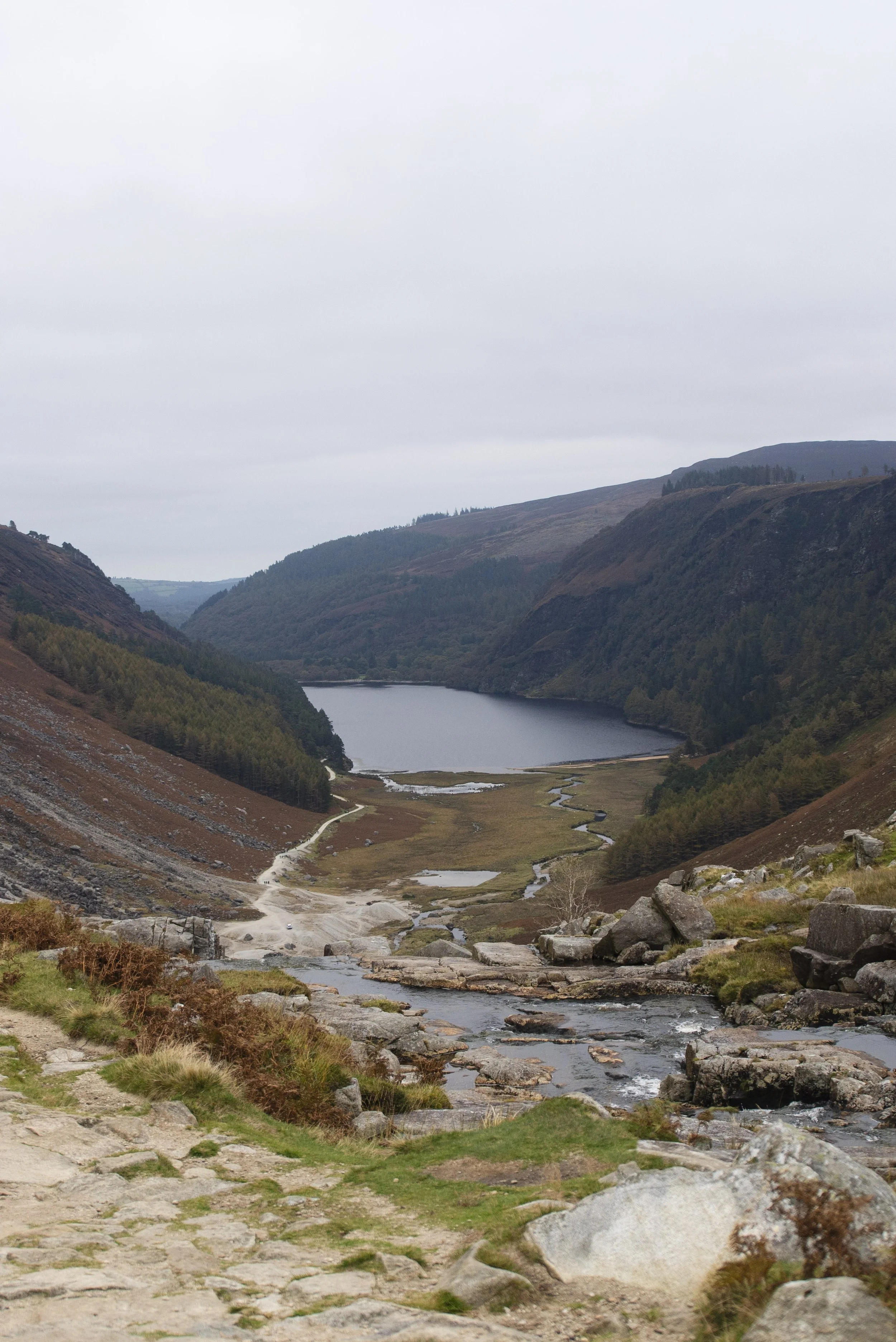
As you round Lugduff you descend towards the top of the valley to cross the Gleneola River by the footbridge, before following the waterfalls down through the zigzags to the miner’s village. From here it’s a wide light gravel path along the banks of the upper lake surrounded by scots pine trees, the reddish-brown of their bark often glowing in the midday sun that fills the valley.
As you make it to the end of the upper lake, you’ll pass a small building to your left (once an education centre). The trail heads up the track that climbs to your left. If you are short on snacks, or would like a proper bathroom, you can head straight on here for just a couple hundred meters to the upper car park. There you’ll find food vans and a large toilet block. Retrace your steps to the turn off, and you’re on the way to the final of the three valleys.
It always surprises me how quickly the business of Glendalough drops off as soon as you turn onto an alternative path. Climbing up this wide path the noise of the tourists will fall away behind you, and it’s once again back to the birds and skittish deer.
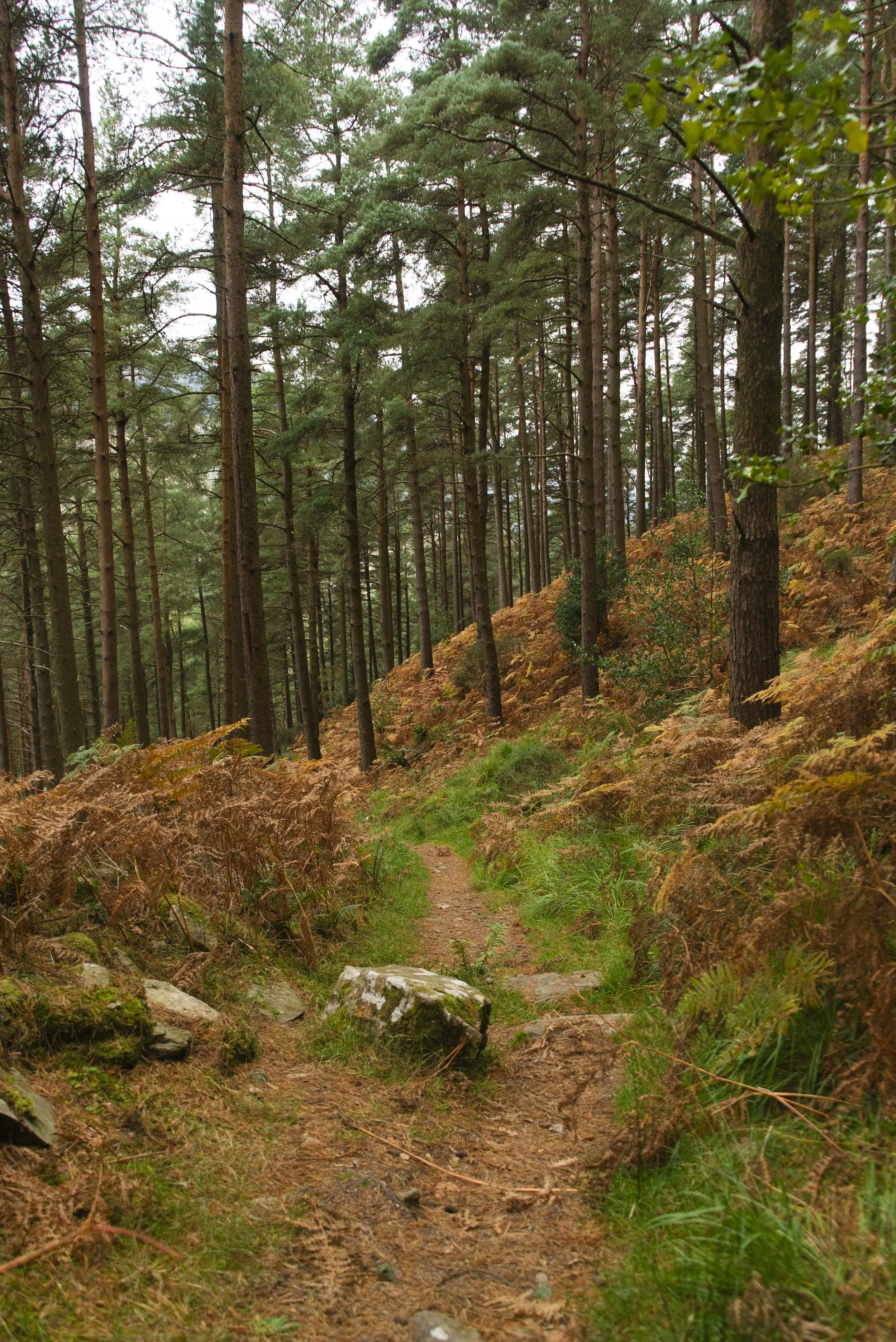
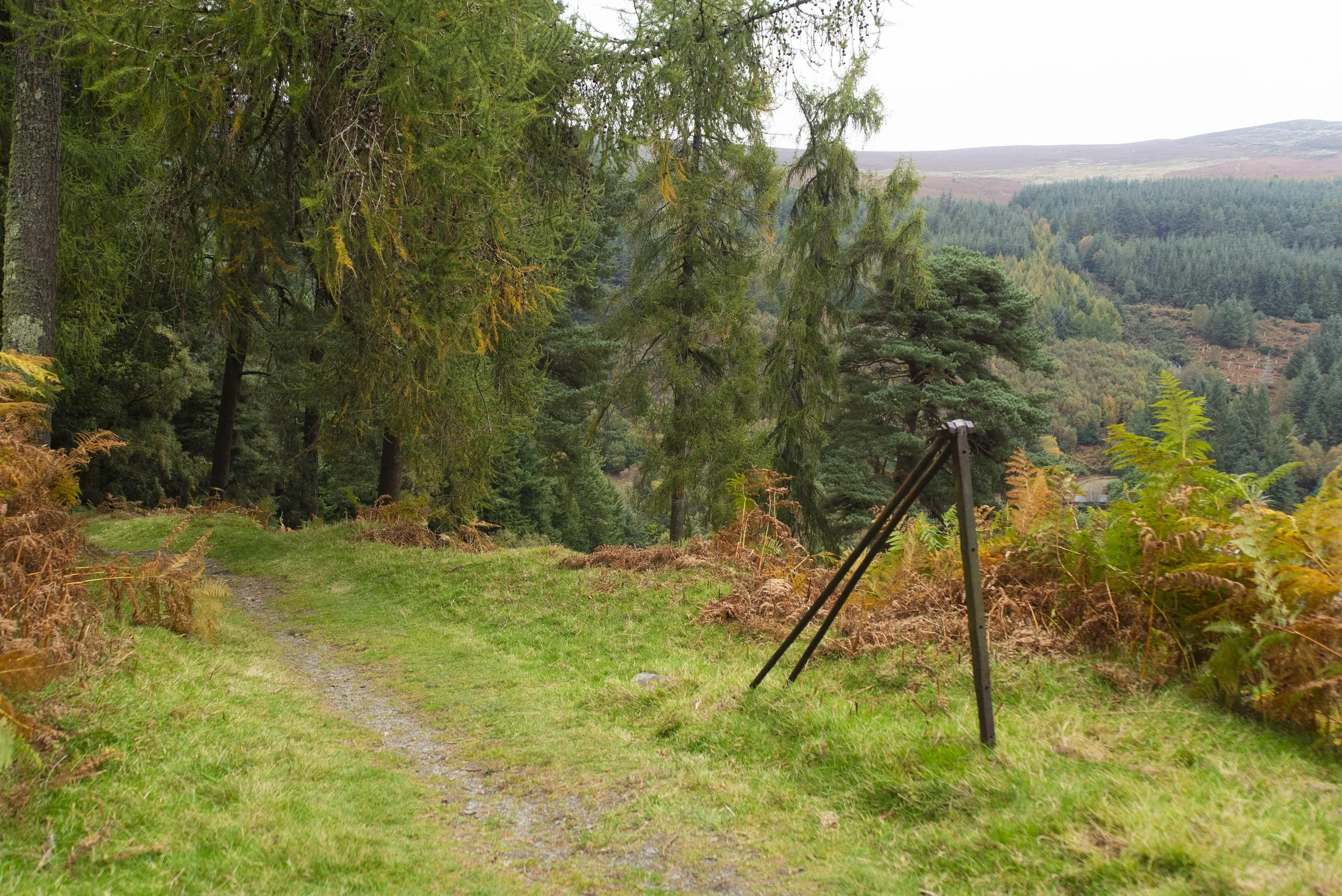
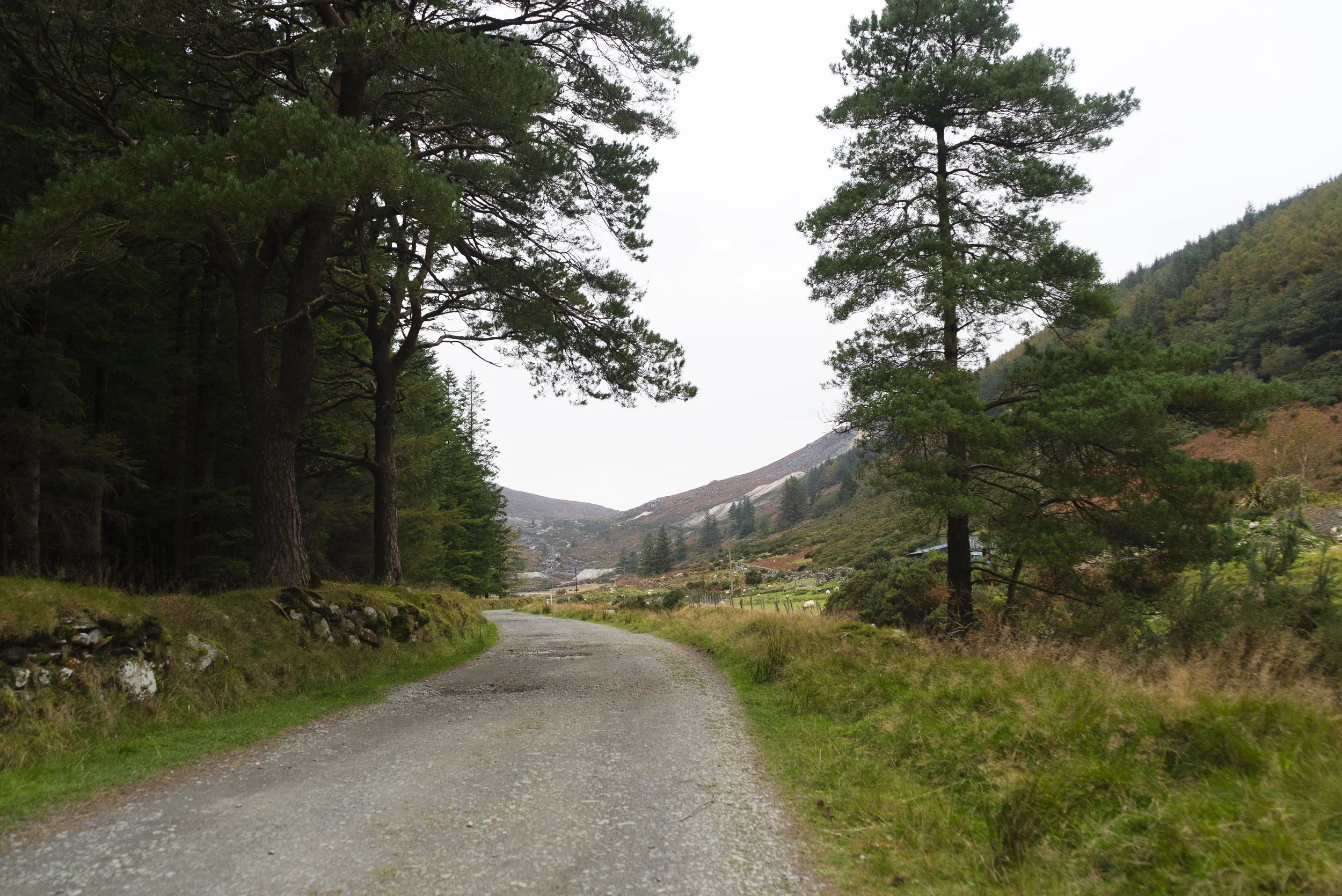
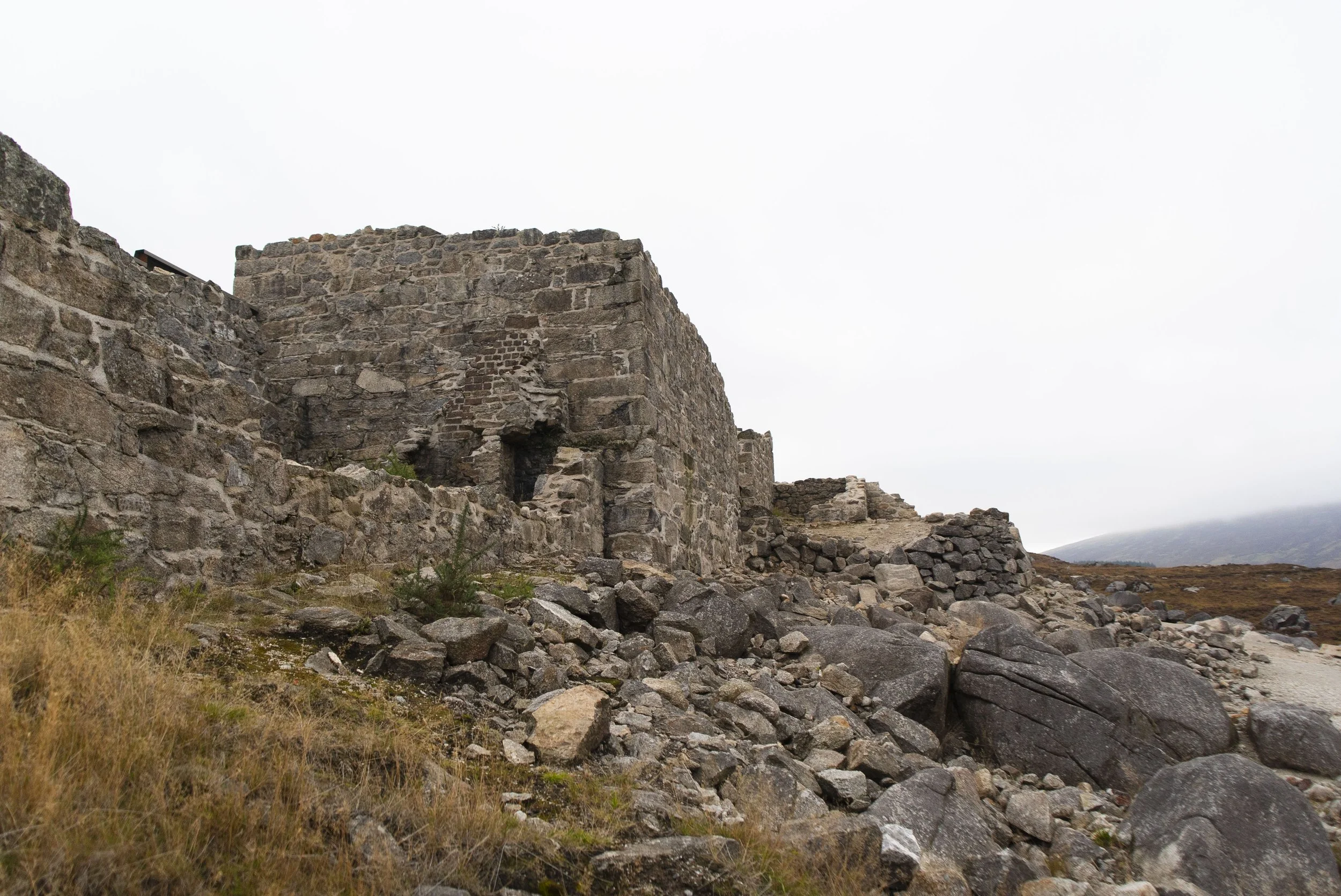
This climb isn’t as intense, and as you progress you’ll pass a couple of paths peeling off to the left - all generally leading towards the summit of Camaderry. The descent down into Glendasan is steep as it cuts through the forest, coming out onto the gravel access road along the Glendassan River. Here you’re walking the same trail as St. Kevin’s Way, all the way up the valley to the Hero Mines.
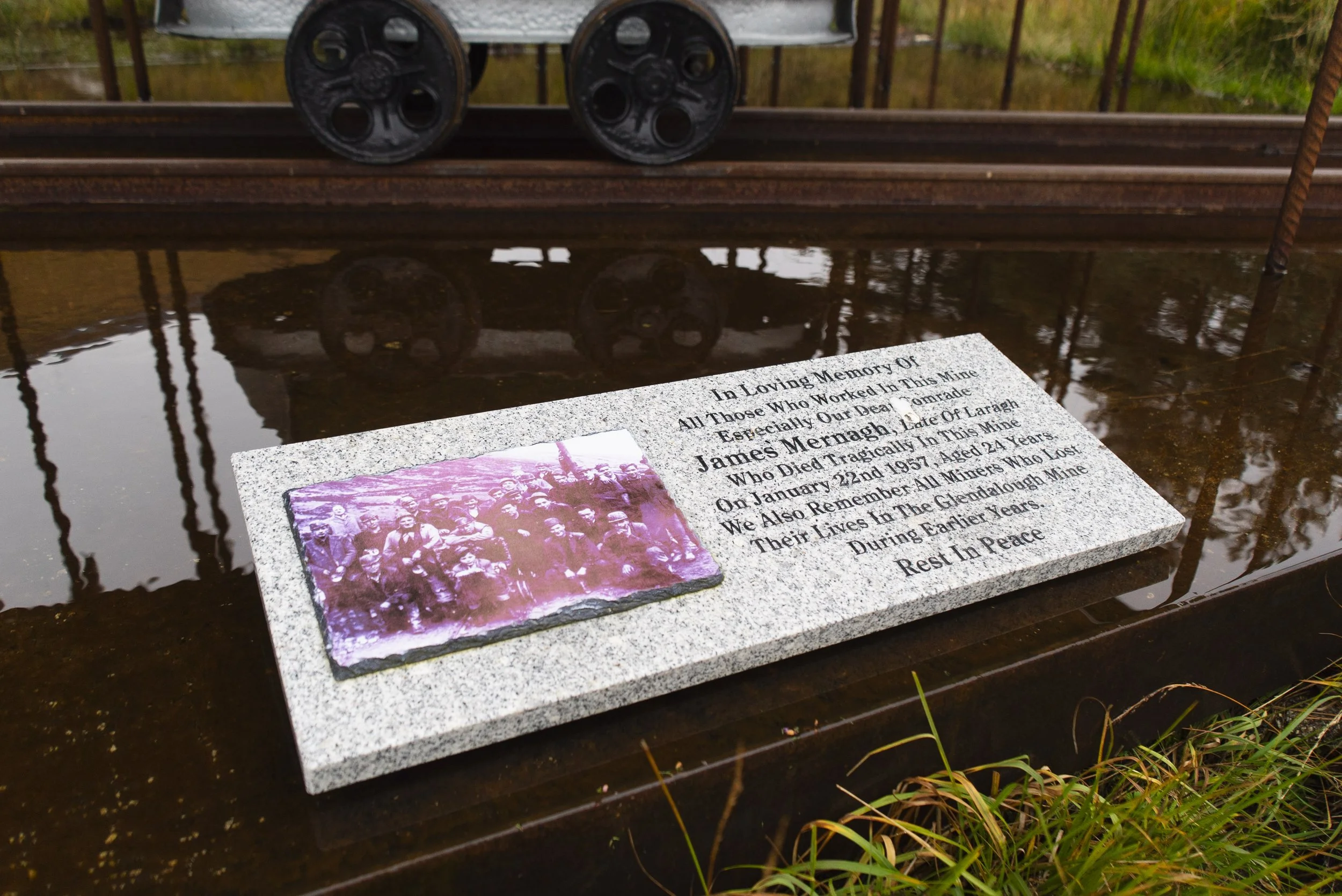
Between the three valleys, the mines in Glendasan ran for the longest, not closing until 1957. This was after the fatality of local miner Jim Mernagh earlier that year, and injury of hid co-worker Robert Carter, who become a devoted preserver of the areas mining heritage. According to Wicklow Heritage, he was also one of the integral people behind this trails development.
There are many stories about the work and lives that went on in these valleys, like the 100 lights that crossed the ford of Avonbeg River. If you’re interested in history, this trail is oozing with it. And I’m delighted to say that the trail doesn’t suffer for it - I’ve walked many routes that are built around the history of an area, without really considering if the walking itself is pleasant. The roughly 20km of this trail are all great, taking you from quiet forests and punchy climbs, to busy lakesides and back to peaceful paths.
So even if you’re someone not fully enamoured with mining or history, you’ll enjoy the trail regardless. Connect with nature, mingle with the many streams, and enjoy some chips in the upper car park.
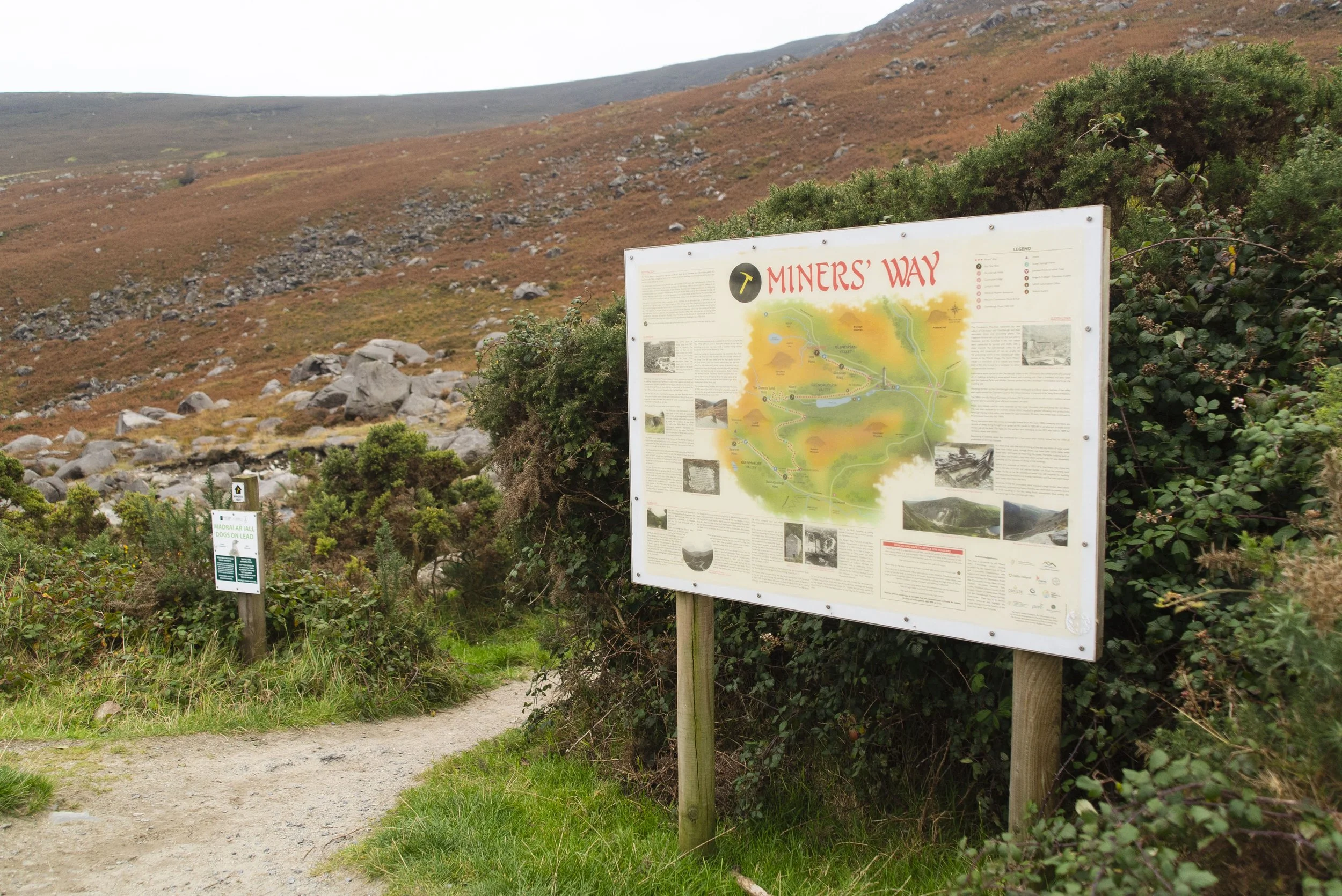
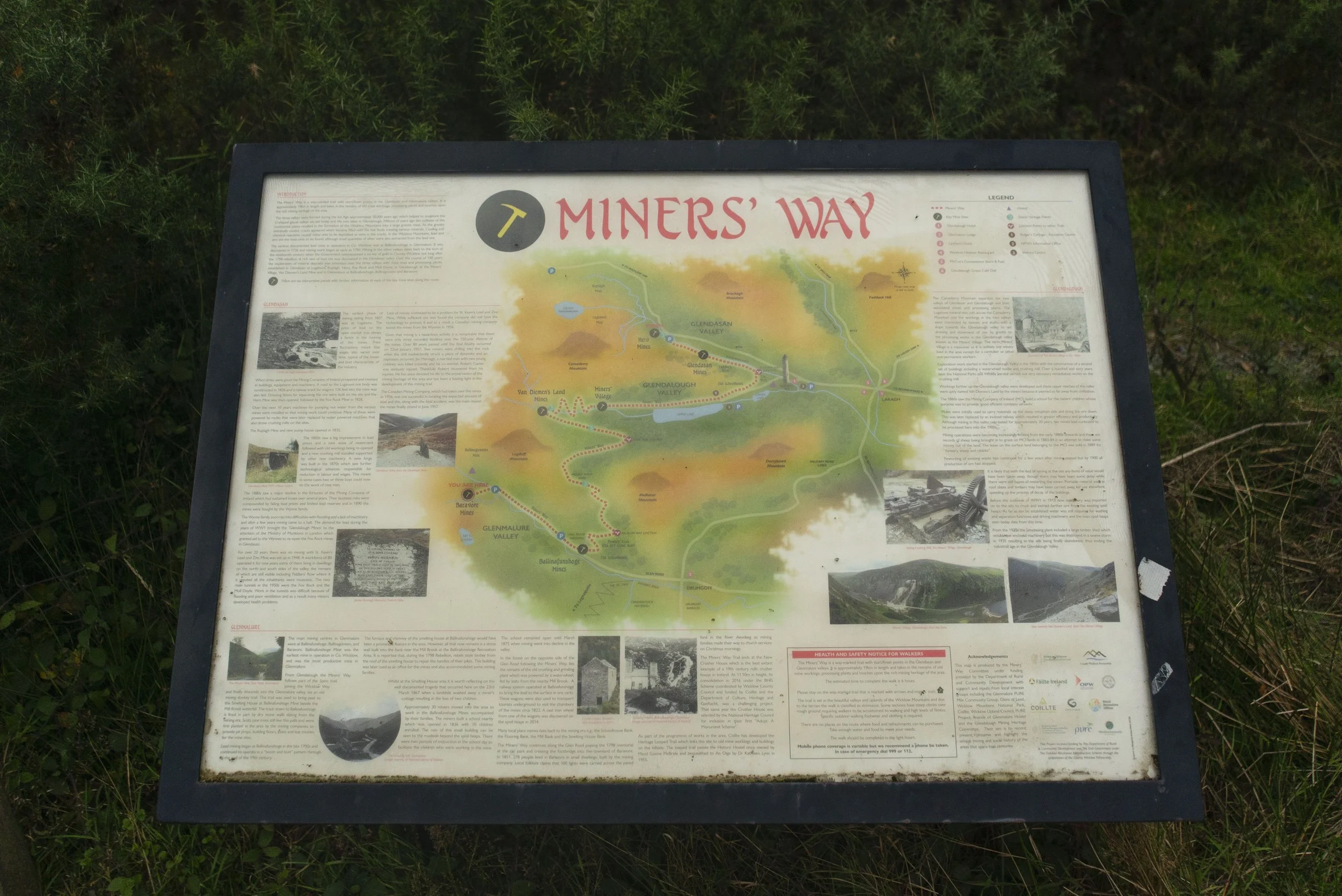
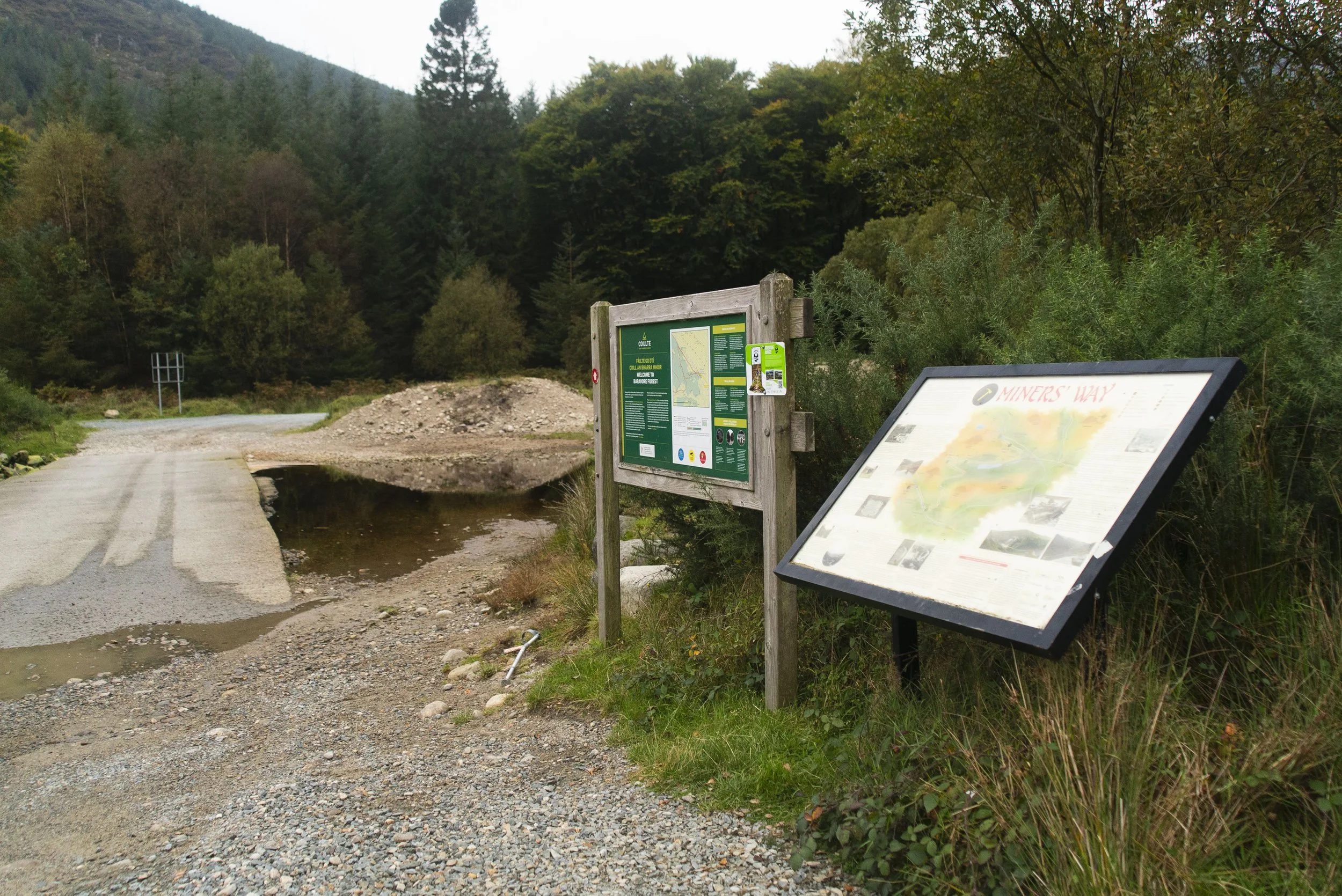
Info board at the Glendasan trail head (my endpoint for the trail)
That morning I’d left my van in the car park at the very top of the Wicklow Gap before getting a lift to Glenmalure with a friend (thanks Helen!). I knew the trail ended at one of the smaller car parks on the road up to the gap, but was exactly 100% sure which one.
On reaching the end of the trail, I realised that I was much further down the valley than I expected. Having dinner plans with friends, I decided the faster way was to ditch St. Kevin’s Way (which can sometimes be a bit wet further up the trail), and simply to jog (read: shuffle faster with my backpack and winter layers) up the road. About half way, a local farmer pulled over and drove me the rest of the way. He was driving around the hills looking for some lost sheep. I’ve forgotten his name, but we had a great chat and he dropped me right to the van door. So this thanks goes out to all lovely land owners in general! I hope the sheep were found.
Further exploring
Other day hikes in the area:
Nearby National Waymarked Trails:
Mountain Hikes:
Coffee/food options:
The Glenmalure Lodge: one of the cornerstones of hillwalking in the area, the Glenmalure Lodge is a pub with food served all day (breakfast too!), as well as having accommodation options. The family who run it are lovely, I cannot recommend stopping by enough.
Glendalough Green Cafe, Laragh: a Wicklow institution, I’ve been going here since before I could walk! This is the perfect cafe for a cosy mocha on a winters day, or a coffee and sweet treat to take out into the sunshine of a summers day.
Glendalough Upper Car Park Food Trucks: are they a little expensive - maybe. But when you’re just off the trail, some toasty chips or a hot drink always taste incredible.