East Munster Way

Theres nothing like 4 days of hiding inside from the rain to make you forget all the uncomfortable bits to living outside and out of a backpack. Which means we were tentatively enthusiastic leaving on Tuesday morning when we saw blue sky's and a definite lack of ominous clouds.
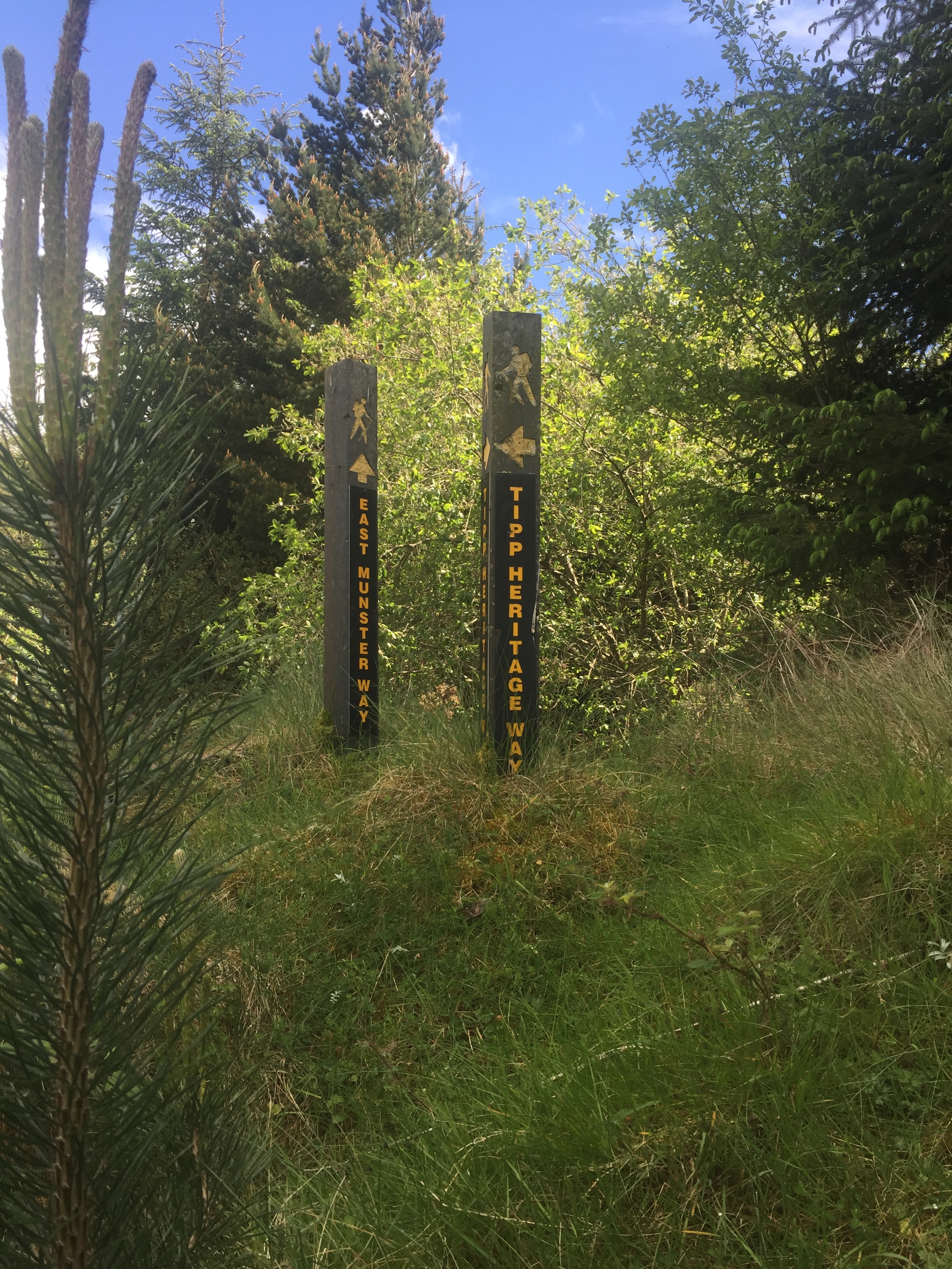
There are three walks that all start/end in Clogheen. The Tipperary Heritage Way (completed) goes north to Cashel, the Avondhu Way goes southwest towards Cork, and the East Munster Way goes, well, east to Carrick-on-Suir.
This is trail 7/42 in our project to walk every single National Waymarked Trail of Ireland. This was us from day 30-32.
Day 1: Clogheen - Newcastle
We walked from Clogheen up the mountains towards bay Lough (and accidentally went the whole way up to Bay Lough, even though the trail stayed lower. At least the lake is pretty). Feeling silly, we walked back down the mountain, and back onto the trail. Because there are 3 trails zig-zagging around this section of mountain the trails they go along do overlap. The THW and the EMW both follow the same trail east across the Knockmealdowns, and then instead of splitting off towards Golden we kept walking across the sides of the mountains. We walked a lot of forestry paths. It was pretty much all we walked. Some sections of it were really nice, some section were a little dull. Either way, there was plenty of climbing and descending as we skirted river gorges and moved above and below the tree line. One climb brought us to Liam Lynch's memorial. In Ireland when you see a sign for a memorial you don’t know if it’s going to be a knee-high cross with a single sentence, or a whole thing. This one is up there as one of the more interesting and prettier memorials that I’ve seen. A short walled lane brings you over two small streams, the monument itself styled like a round tower at about 8meters tall. Two greyhound statues sat on guard to either side of the shallow steps leading up to it. To the side stood a pulpit.
Afterwards it turned to nicer trail-esque terrain, walking beside sheep fields. The end of the trail section was marked by a very pretty style with an old apple tree shading it, and the ground covered in blossoms.
Thankfully part of the road section turned into a track, so wasn't really road walking. That evening we reached the turn for either walking through new castle or continuing on. The "continuing on" section was perfect for camping, so we walked 10 minutes or so into Newcastle, bought food and then walked back out.
Sadly my feet actually got quite sore today. Maybe they got too warm, or maybe just not wearing shoes for four days let my feet relax too much.
Just before we got to the memorial we took a break and lay out in the sun it was so warm. I think we fell asleep for half an hour on the hillside, but it was so nice to feel the heat and be outside again that I ignored the time wasting.
Day 2 Newcastle - Far said of Clonmel campsite
Our campsite last night was on the trail itself where it had once been a road but was now a thin grassy path with no visitors.
We managed to get up at a decent time, and were walking by 8am. Part of the description of this trail was that there were "no long or arduous uphill sections". I be to differ, as we spent the day (and most of the walk) continuously climbing just a little higher and a little further. Our plan for day two was to end it a little past Clonmel along either the river bank or in the forest we would be crossing back into.
After having such perfect sunshine on day one, it was interesting to be walking along and being able to see the rain coming towards you. Whole sections of the mountains were swallowed up as the downpours moved across the landscape. The first time I saw it I thought it looked so cool and powerful. The many times after resulted in groans and the readjusting of jackets, hoods and umbrellas.

Our last major deluge was as we were walking along the crest of the mountains overlooking Clonmel. We had just pushed through a rough uphill section and wanted to peel every layer off while panting on the submit. And then the torrent hit. It was so wet and so intense that all I could really do was accept it and inwardly laugh as I trudged behind Carl through the heather.
It didn't last long, and when it cleared we had the most amazing view of Clonmel - I'd never seen it laid out so clearly before. It was bigger than I remembered.

After taking in the views, there was the decent.
I've never been walking down a slope with a serious worry that I might slip and slide down it instead. I wanted a hand rail, or a rope.
We survived, of course. And clonmel gave us shelter for an hour or two as we drunk coffee and gained calories. It was hard to pursuade ourselves to leave after being rained on so regularly. The main condolence was that the walk out of clonmel was flat along the river Suir.
When it came time to leave the river and start climbing through the trees again we stopped on the side of the road to look at maps and see if there was somewhere immediate that we could camp. A small navy car slowed as it was passing, and stopped in a drive just beyond us. A head stuck out the window.
"Are you heading to the campsite?"
"... a campsite?"
"Yeah - so you're heading there?"
"... yes?"
"Cool I'll show you where it is."
The campsite was called Powers the Pot, less than a ten minute walk from the trail. There were lots of little plots laid out across a hedged in field, with the top of the field opening up to a small yard. On either side of the yard was a small building with toilets and showers, the left one having a kitchen and the right one a small bar with an open fire. Somehow, we'd struck the campsite jackpot. There was no one else there, and while super nice the place did feel like it had passed it's prime. that isn't meant as a negative, it gave the place a more natural and lived-in feeling. A small rooftop balcony gave us views back over the mountains and clonmel.
Day 3: Powers the Pot - Carrick-on-Suir
The trail brought us wieving through more forestry tracks until we arrived back in Killsheelan and back to river walking. From there to Carrick it was easy, if repetitive, walking. There was a surprising number of castles and ruins along our way, and a refreshing number of benches. The Suir is home to a lot of fishermen, and I'm pretty sure it's because of them that the benches are there. Their small huts provided respite from the minor rain showers we met along the way.
I said that we survived the decent into Clonmel. That doesn't mean we were unscathed, and that became apparent as the day wore on. Carl's knee had gone from slightly uncomfortable every now and again, to a fairly constant pain. We slowly arrived into Carrick.

Carl's knee wasn't sound enough to walk on, so we scouted out roofed accommodation for the night, ending up in the hotel on the Main Street. Carrick itself seemed nice, although as always we didn't really get to see much.
In Carrick the East Munster Way ends, and the South Leinster Way begins. The plan had been to continue on up the east side of the country. When we woke up the next morning Carl's knee decided for us. No more walking.
That afternoon, after much deliberation, we started to make our way by public transport to Carl's parents house in Roscommon, on the idea that taking two days rest there was better than continuing walking and risking the trip ending altogether.
Also, we have made our own Tough Soles maps! These maps are free to use, remix, and redistribute under CC-BY 4.0. All you need to do is attribute us! Here are the East Munster Way maps, and here are all the maps we’ve made.
If you like our blog you can subscribe to it here!
If you really like it, you can support us on Patreon