
Overview
County: Clare
Official length: 180km
What we walked: 155km maybe
Start/End point: Killaloe (circular/looped walk)
Trail difficulty: 2/5
Trail quality: 3.5/5
Most common walking surfaces: tiny roads, forest tracks
Views/area: 3.5/5
Camping/accommodation: There are numerous campsites along the west side of Lough Derg, and there is ample indoor accommodation along the route. Places that we stayed include:
- Killaloe Camping (aka Pipers Inn Campsite)
- Lakeside Holiday Park & Camping, Mountshannon
- Clare Ecolodge, FeakleMaps: We’ve made our own Tough Soles maps! These maps are free to use, remix, and redistribute under CC-BY 4.0. Here are the East Clare Way maps, and here are all the maps we’ve made.

Trail Days:
Day 1: Killaloe - Pipers Inn Campsite // 16km
Day 2: Pipers Inn - Mountshannon // 32km
Day 3: Mountshannon - Lough Graney // 35km
Day 4: Lough Graney - Feakle // 16km
Day 5: Feakle - far side of Tulla // 27km
Day 6: Tulla - Killaloe // 27km
The above distances are rough estimates from when we were walking!
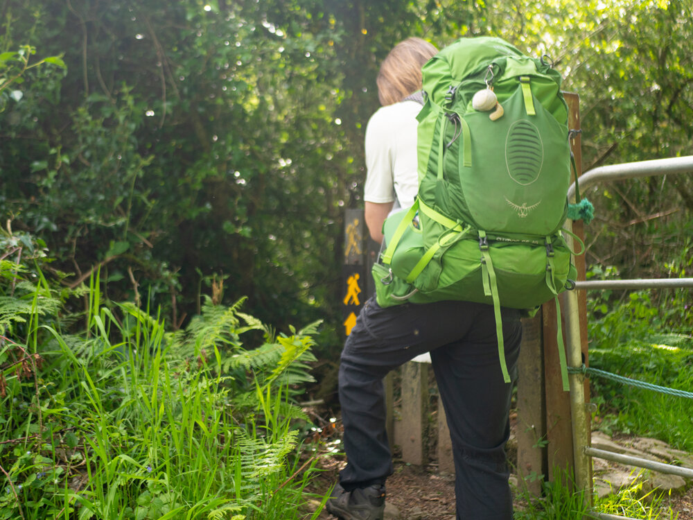
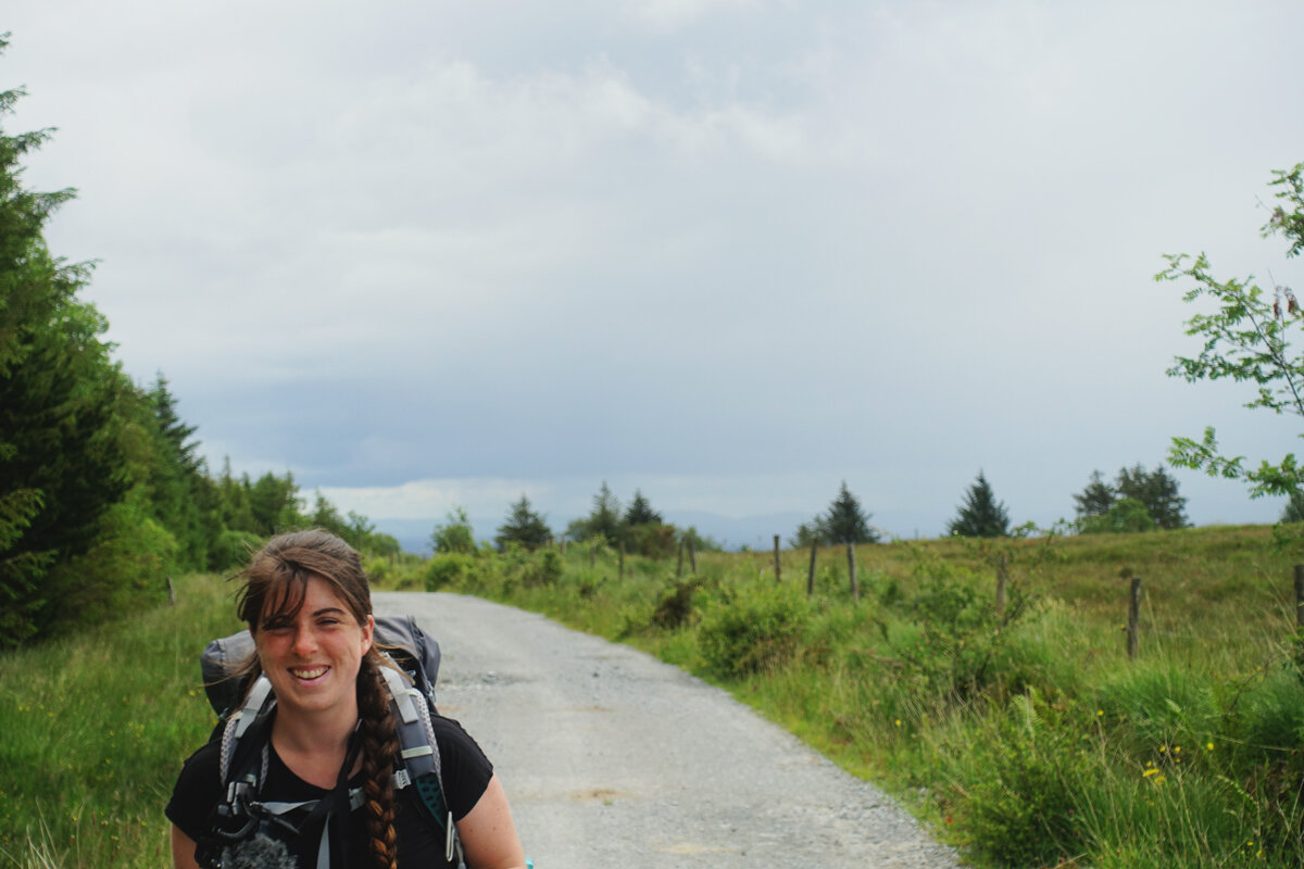
The East Clare Way was our final trail to hike in Clare, and our third last trail to do overall! Like many of the National Waymarked Trails, we knew very little about this route going into it. We’ve learnt that cautious optimism always yields the best results, so we came to it with no expectations or ideas. We decided to start the trail in Killaloe and walk it clockwise. There are a couple of off-shoots into different villages and towns along the way - one to Mountshannon, a tiny village on the shores of Lough Derg; one to Whitegate, a village in the north corner of Clare; and one to Feakle, a village on the west side of the loop.
Day 1: Killaloe - Pipers Inn Campsite
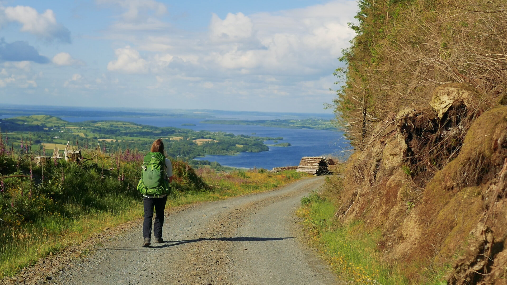
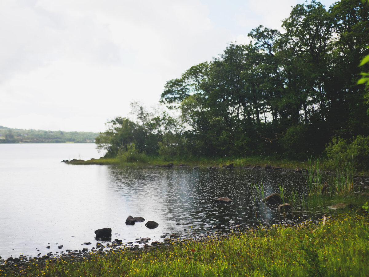
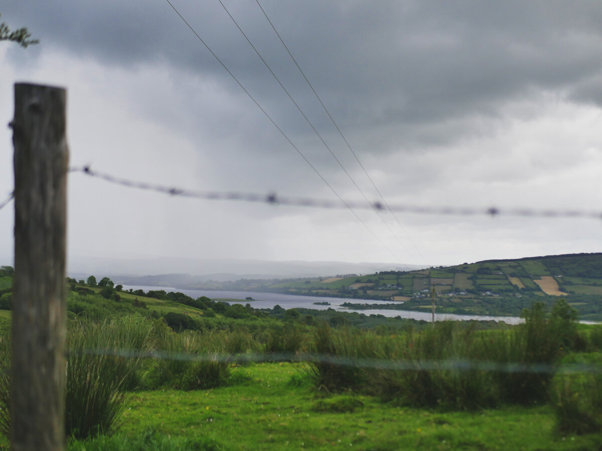
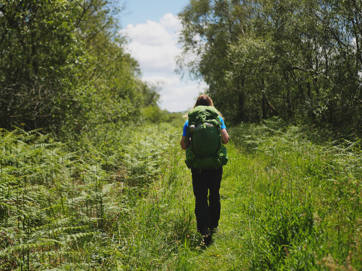
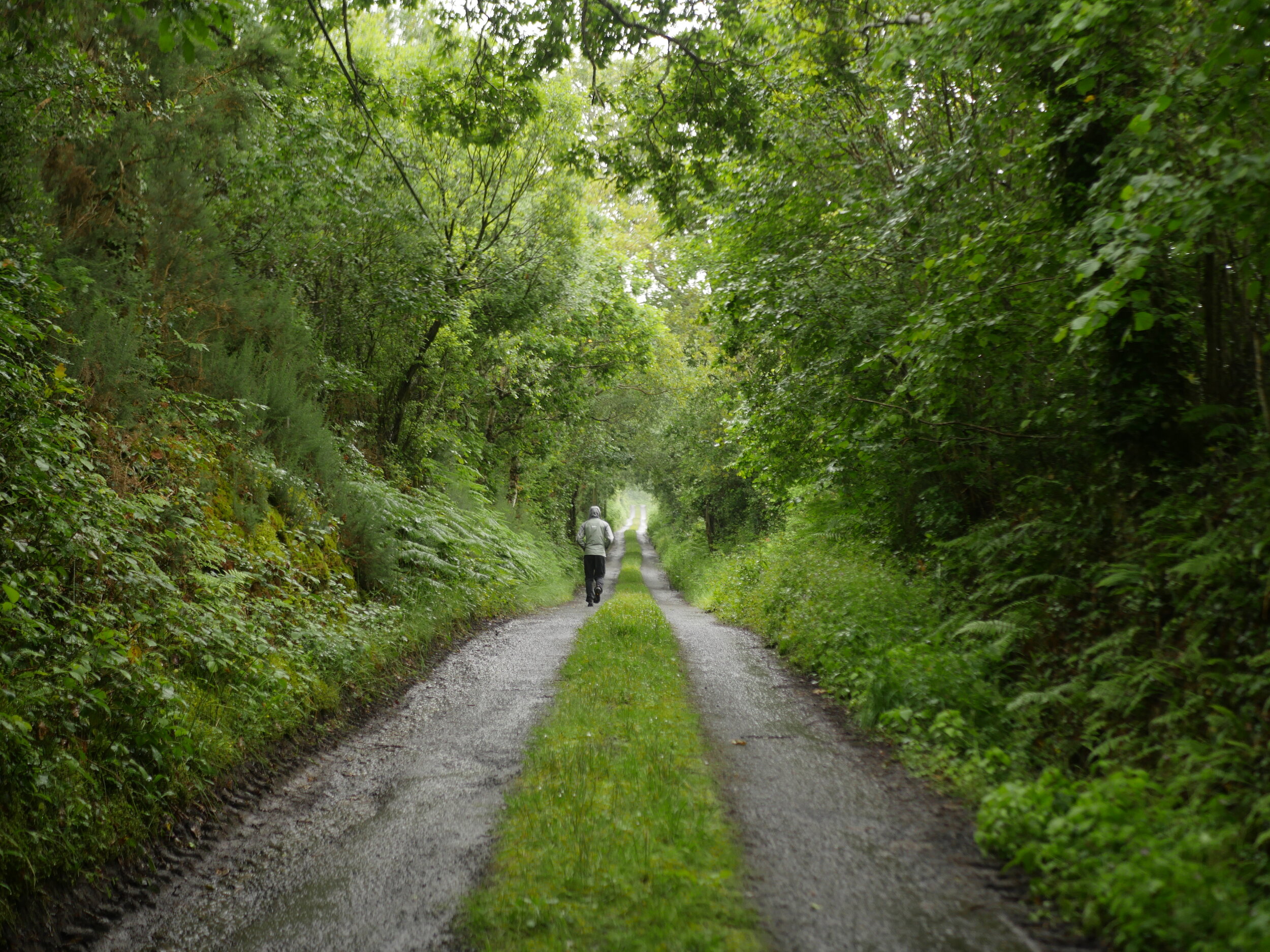
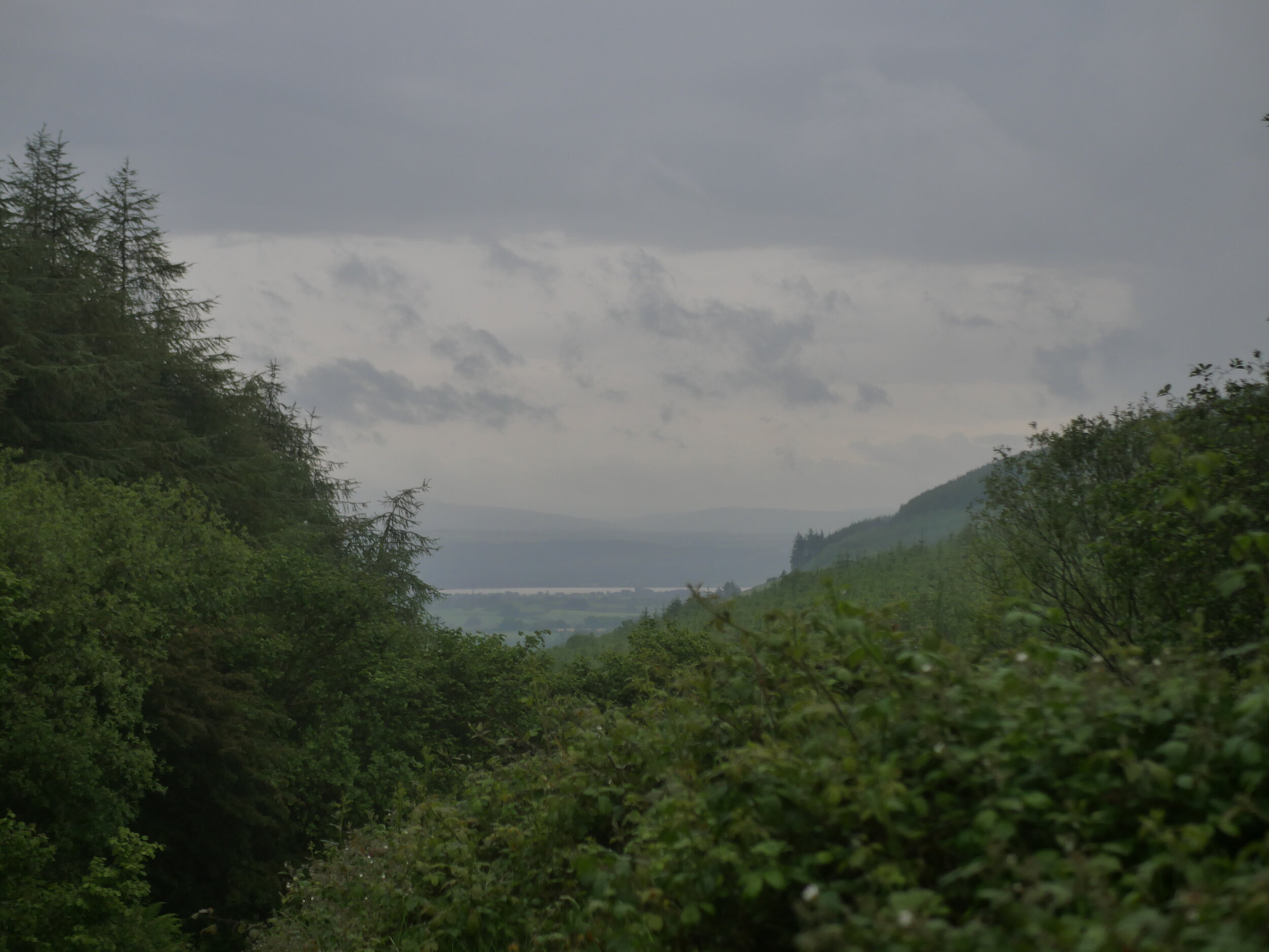
We arrive into Killaloe in the late afternoon with the main intention of making it out of the town and down the lake to the first campsite on the trail. Leaving Killaloe, we walk almost 3km uphill before the trail splits into the two arms of the trail. We turn right, continuing our climb into the hills and mountains that sit on the west banks of Lough Derg. It’s a beautiful evening, which makes it easy for us to forgive the road sections that we were walking. After a while though the road becomes grassy access lane, and we spend the next couple of hours zig-zagging between tarmaced road and over-grown farm paths. The further we go, the more beautiful the views are of the lake and the surrounding area. We spend the evening looking out across the water and guessing at which hills and forests contained trails that we had already walked. The Lough Derg Way was just across the banks and so easy to pick out. The Slieve Felim Way wasn’t far from there, but further out than that our guesses reached wilder heights.
In the setting sunlight we walk into the Pipers Inn and check into their campsite. We have the place to ourselves, so spend the final few rays of light relaxing in the grass with drinks from the pub.
Day 2: Pipers Inn - Mountshannon
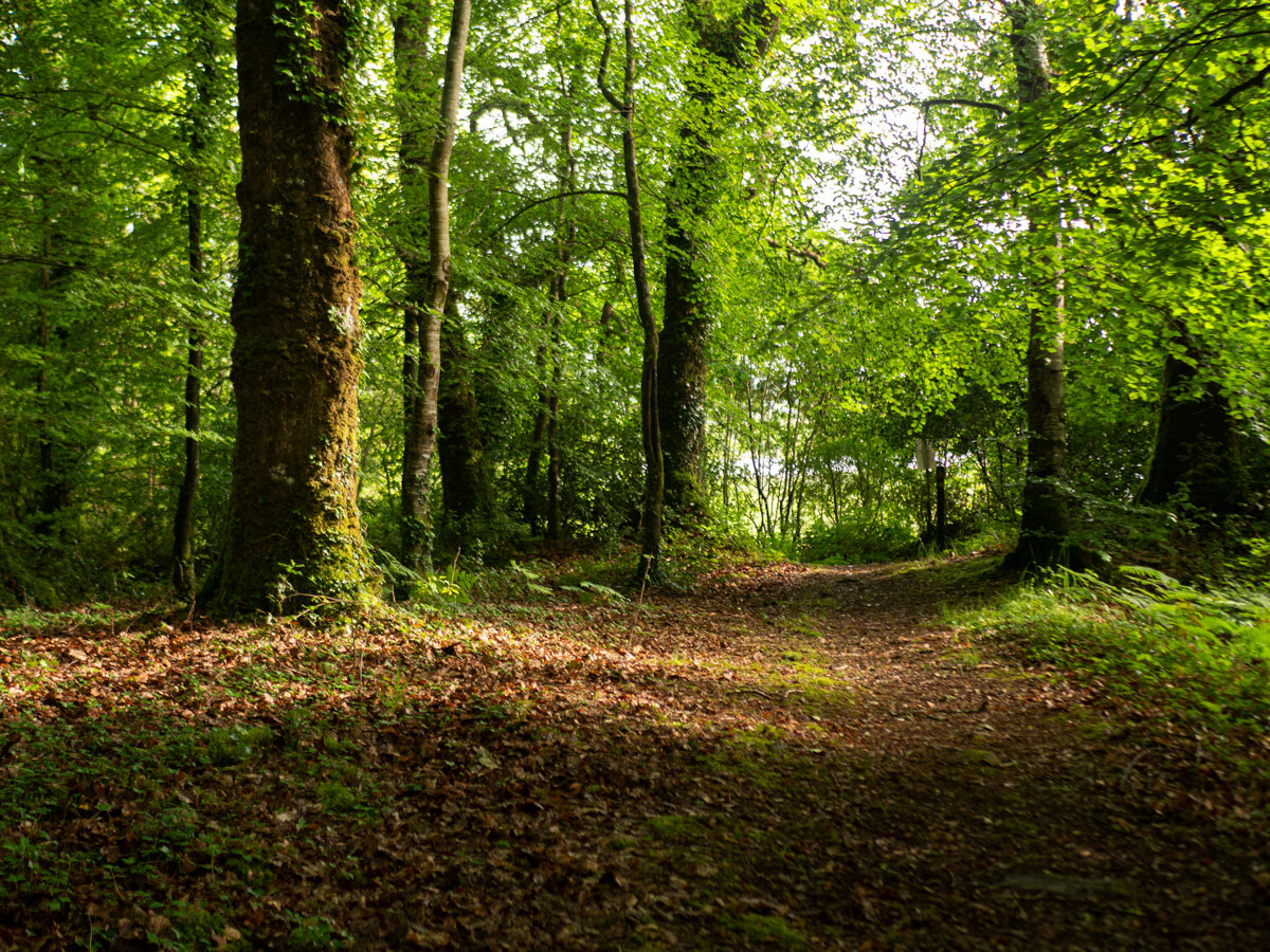
Leaving the campsite, we’re back to a mixture of country roads and grass covered lanes. Like all National Waymarked Trails, I feel like we spent all morning hiking uphill, even though the highest peaks in the area were only between 300 - 580m. After about 15km and 3 hours of walking we reach the village of Scarriff, where we stop for coffee / lunch. The walk into the village brings us past lots of heritage, such as a 10th Century Church and an old tower house that is now part of the handball alley.
After a long lunch break we head back out, and follow very small, empty roads for several kilometres. Coming to a junction, we’re able to look up the path and see where we will walk the following day - the trail almost comes together here, but turns away to include Mountshannon and the offshoot to Whitegate. We turn with it, and find ourselves on the final 10km stretch down into Mountshannon. Once in the village we think our day is done, only to realise the campsite is further out of the town than we realised. Having covered well over 30km that day, we were exhausted as we walked down the lane to the campsite. I am relieved to write that the extra few steps were worth it, as we walk into a campsite that sits right on the waters edge. It’s beautiful, and we gaze out at the water for a long time before pitching our tent. While we felt that day had been a little road heavy, we were still smiling as the sun set.
Day 3: Mountshannon - Lough Graney
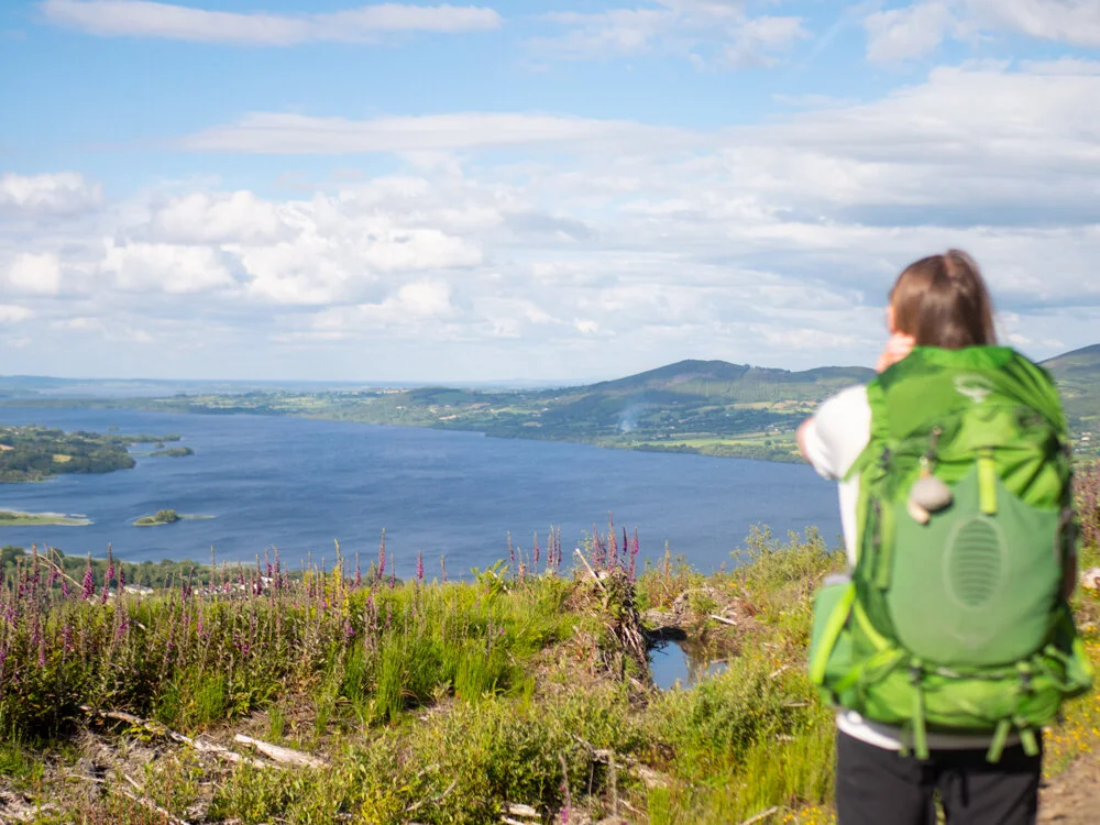
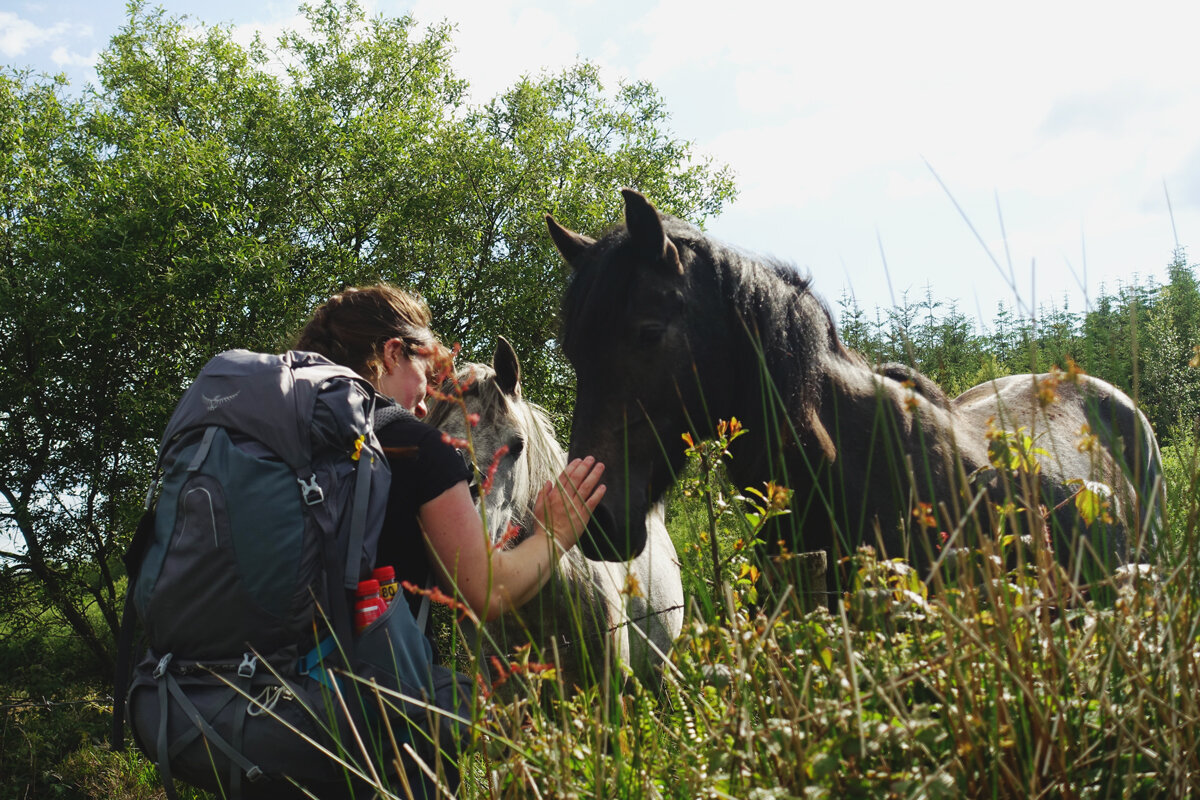
Back up to the village of Mountshannon, and back up to the trail. Same story as the previous two days - tiny country roads mixed in with a bit of forest walking for whenever we were getting tired of the hard surfaces. The great views of the surrounding area also definitely helped. We also meet up with my Mum and sister, getting to drop the heavy backpacks for a while and speed through some long bits of trail.
As the day progresses we lose our view of Lough Derg, but crest another hill and look down onto Lough Graney. It’s here that we put the bags back on and start our evening march around the lake. Having travelled and walked a lot before starting this trail we were both starting to feel the kilometres, and so as the rain clouds start to gather round we find ourselves a small quite spot to camp and get set up for the night.
Day 4: Lough Graney - Feakle
Feeling tired the next morning we set off through the forest and then back onto roads. An hour or so in we know we need a half day, and start to look at the maps with a bit more earnest. Feakle was only 16km along the trail, and after a bit of searching we came across the Clare Ecolodge. Through a stroke of luck we managed to get a room there, even though it wasn’t open that day. We get there a little after lunch and breathe a sigh of relief at taking the boots off. Finishing so early, it almost feels like a rest day. Showered and fed, we spend the evening swapping adventure stories with Billy and eating strawberries from their garden.
Day 5: Feakle - far side of Tulla
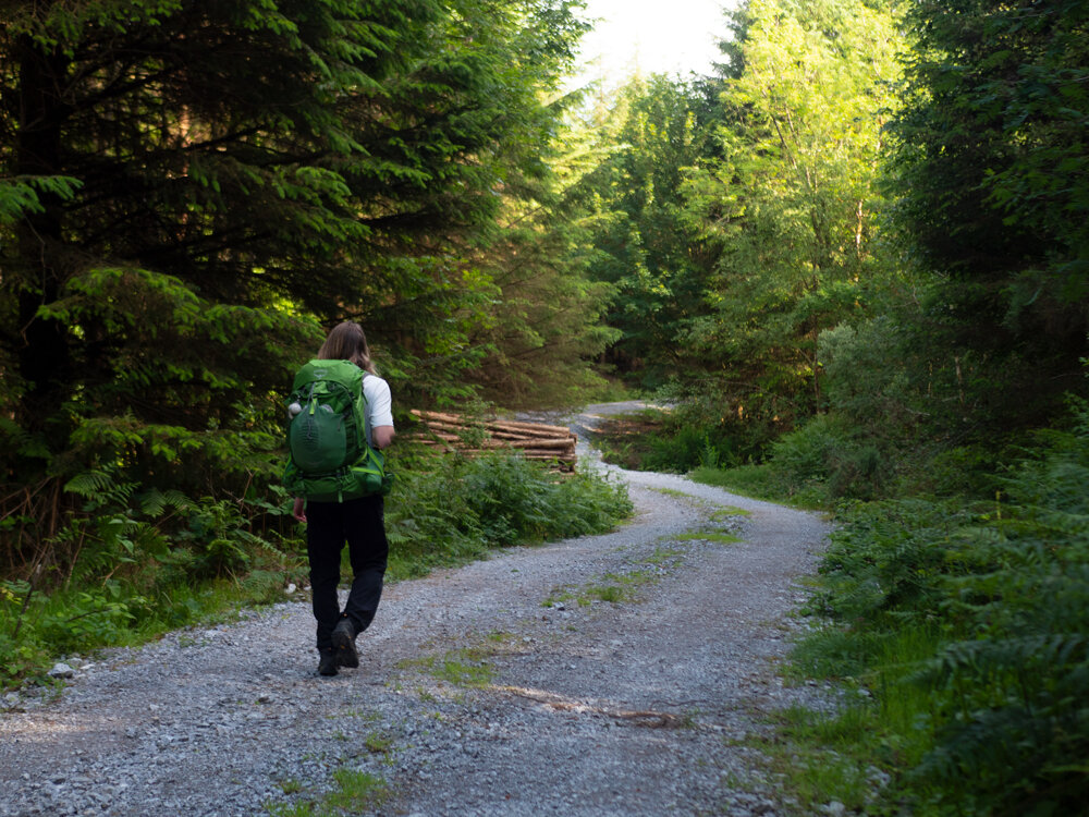
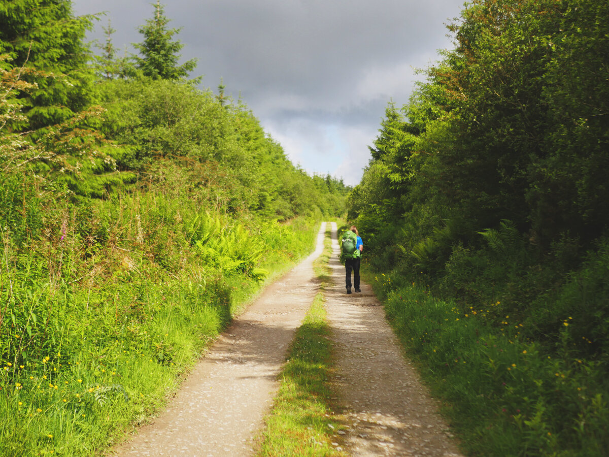
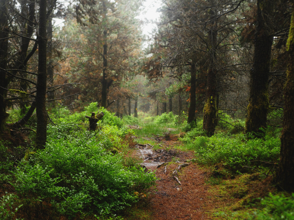
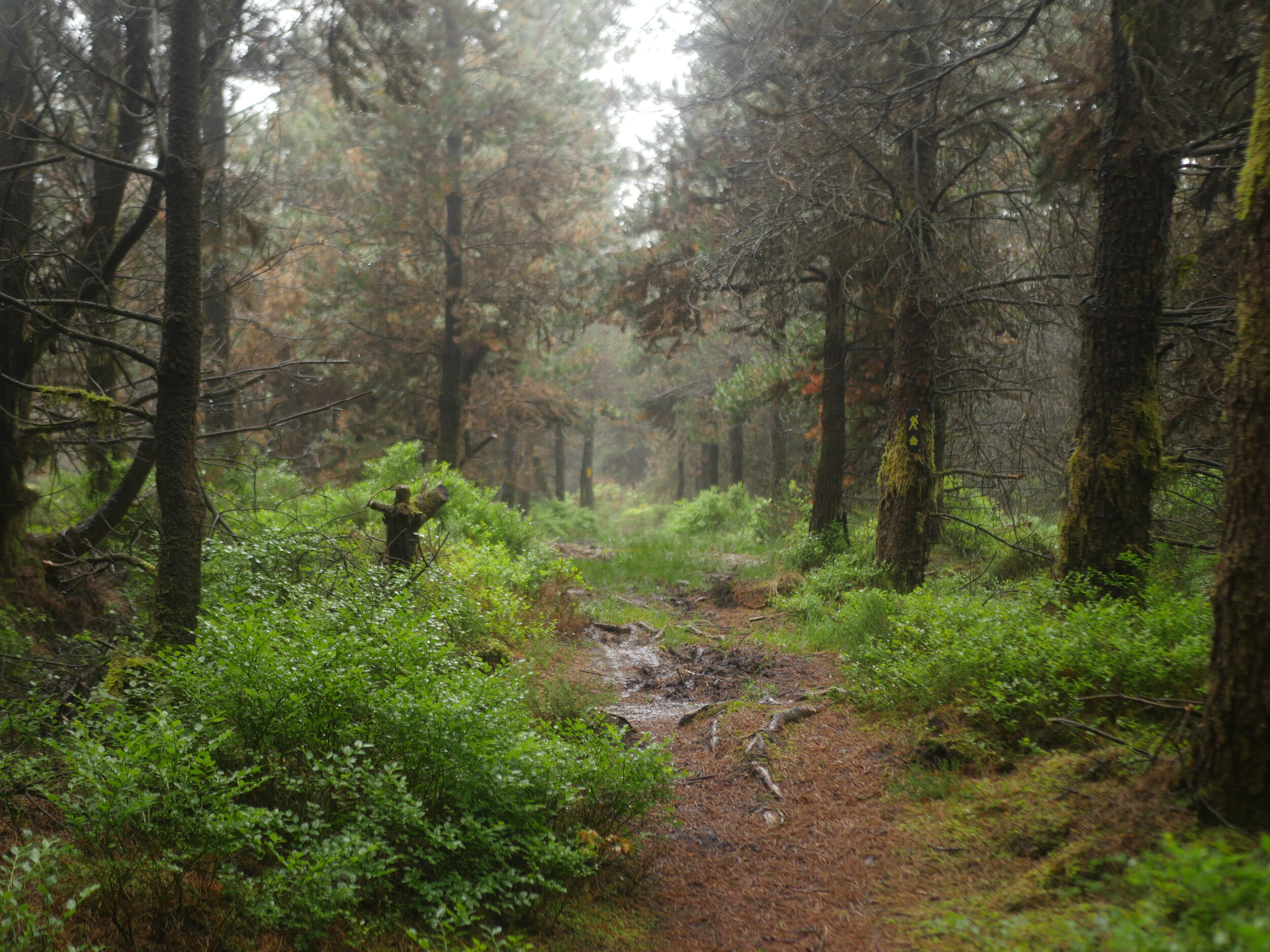
Back out of Feakle we start to hike uphill along some roads before turning off onto some forestry logging roads. We spend several kilometres up in the forestry, crossing small streams before descending down onto roads, through some wild grassy sections, and then into the town of Tulla. We follow more roads and tracks out of the village, passing the detour to O’Callaghan Mills. Many of the waymarkers have distances written on them, and at one in particular it said that Broadford was a little over 17km - and the road sign pointing off along a different route said it was only 7km. The joys of twisting and turning trails!
Day 6: Tulla - Killaloe
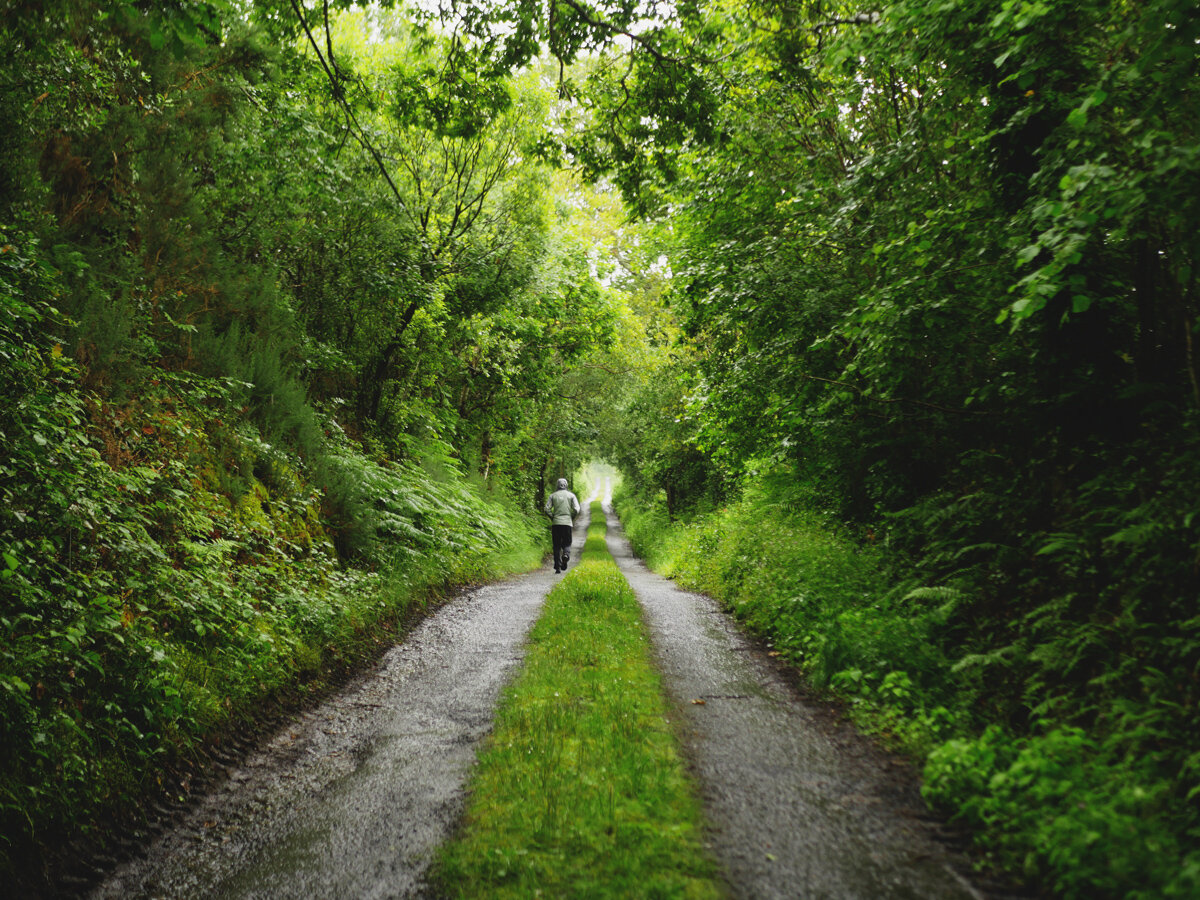
For our final day the weather changes drastically, and we spend it walking through an angry rain cloud. Luckily, we had stayed with Seanie & Ciara the night before and were staying with them again that night, so had no heavy bags to carry. We hike through some beautiful forestry and try not to get swept away in the ever-growing puddles. We make it into Broadford and grab a coffee and a dry corner in The Country Store. As we sit our raincoats create a minor lake around our table, until eventually we decide that the cafe doesn’t deserve to be completely flooded. Back on small roads we pass through Kilbane, then follow the road sign for Killaloe via “the gap”. The road climb is worth it, as even in the rain the views look beautiful. Reaching the top we glimpse Lough Derg again, and feel like we’ve truly reached the final stretch. We shuffle downhill as fast as our overworked legs can take us (if you’ve done long distance hiking, you’ll know how much worse the descents are than the climbs). The rain never let up all day, so once in Killaloe we immediately find somewhere dry to sit again. Even though we were exhausted, it was impossible to keep the grins from our faces. We had just finished trail 40 out of the 42 National Waymarked Trails of Ireland. We were so close to completing this crazy, long goal.

Afterthoughts:
We came in with no expectations of this trail, and had a wonderful time. This was undeniably aided by the fantastic weather we had for 5 of the 6 days of walking, and the great views that the trail offered. There is a lot of road walking, but it’s interspersed with enough tracks and trails to keep it interesting and engaging. It is very long for an irish trail; at 180km, this one of the longer trails on our list, and when the other trails with comparable distances - the Kerry Way, Dingle Way, etc. - it doesn’t have quite the same wow factor or infrastructure. We had a good time on the trail, and met lots of lovely people along the way. The trail was very well maintained: all the waymarking was clear and taken care of, and there were a lot of info boards along the way. However - just to note: while you can walk this trail in either direction, and the sign posting is done for both directions, the information written on the info boards along the route assume you are walking it clockwise, and so for us (walking it anti-clockwise) we were constantly reading about sections we had just done, instead of learning what was ahead of us.
If you like our blog you can subscribe to it here!
If you really like it, you can support us on Patreon
