
Overview
County: Laois/Offaly Border
Official length: 70.5km
What we walked: 74km
Start/End point: circular/looped trail, and we started in Clonaslee
Days: 2 - 3
Trail difficulty: 4/5
Trail quality: 5/5
Views/area: 5/5
Most common walking surfaces: Forest trails!
Camping/accommodation: We wild camped along this trail. The Slieve Blooms have designated wild camping areas (more details below). We passed indoor accommodation in Kinnitty. In general, this trail is very remote.
Maps: We’ve made our own Tough Soles maps! These maps are free to use, remix, and redistribute under CC-BY 4.0. Here are the Slieve Bloom Way maps, and here are all the maps we’ve made.
Trail 39/42
Trail Days:
Day 1: Clonaslee - Monicknew // 30km
Day 2: Monicknew - Kinnitty // 20km
Day 3: Kinnitty - Clonaslee // 21km
The above distances are rough estimates!

3rd June 2019
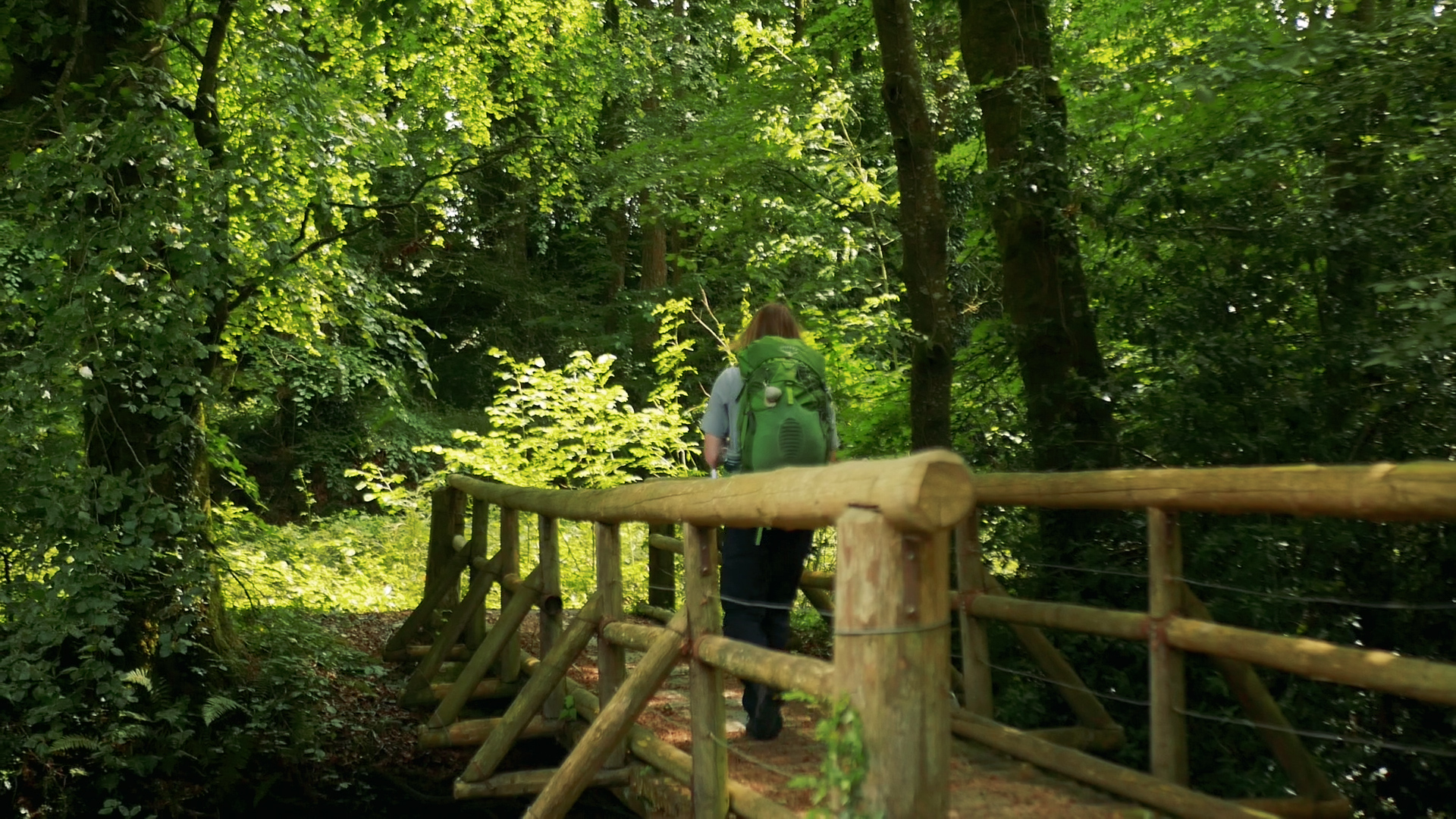
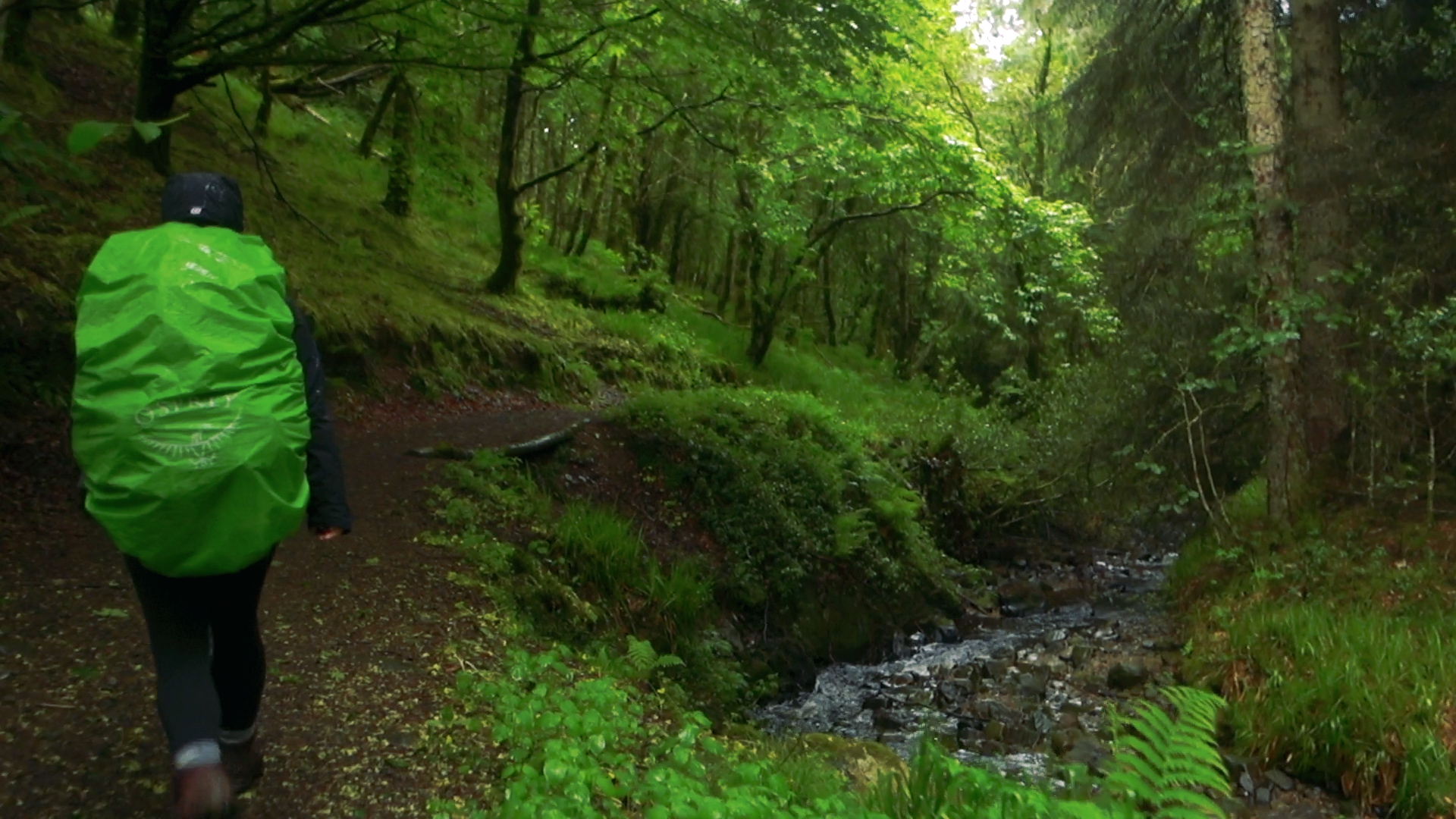
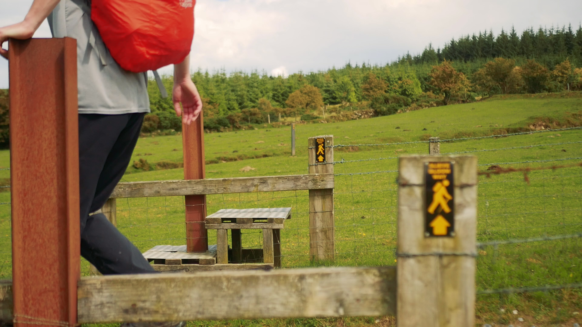
At around 75km long, we were excited to be back in the mountains for a few days. Starting at about 2pm we left Clonaslee heading south east, clockwise along the route. The trail starts at the beautiful Brittas Forest entrance in the village, and our trail begins by crossing wooden bridges over small rivers and following well-walked trails (Link to the Brittas Lake Loop walk in the same forest). We knew we were in for an exciting trail, as this was one of relatively few routes listed as “strenuous” on the Irish Trails website, with roughly 1275m of climb.
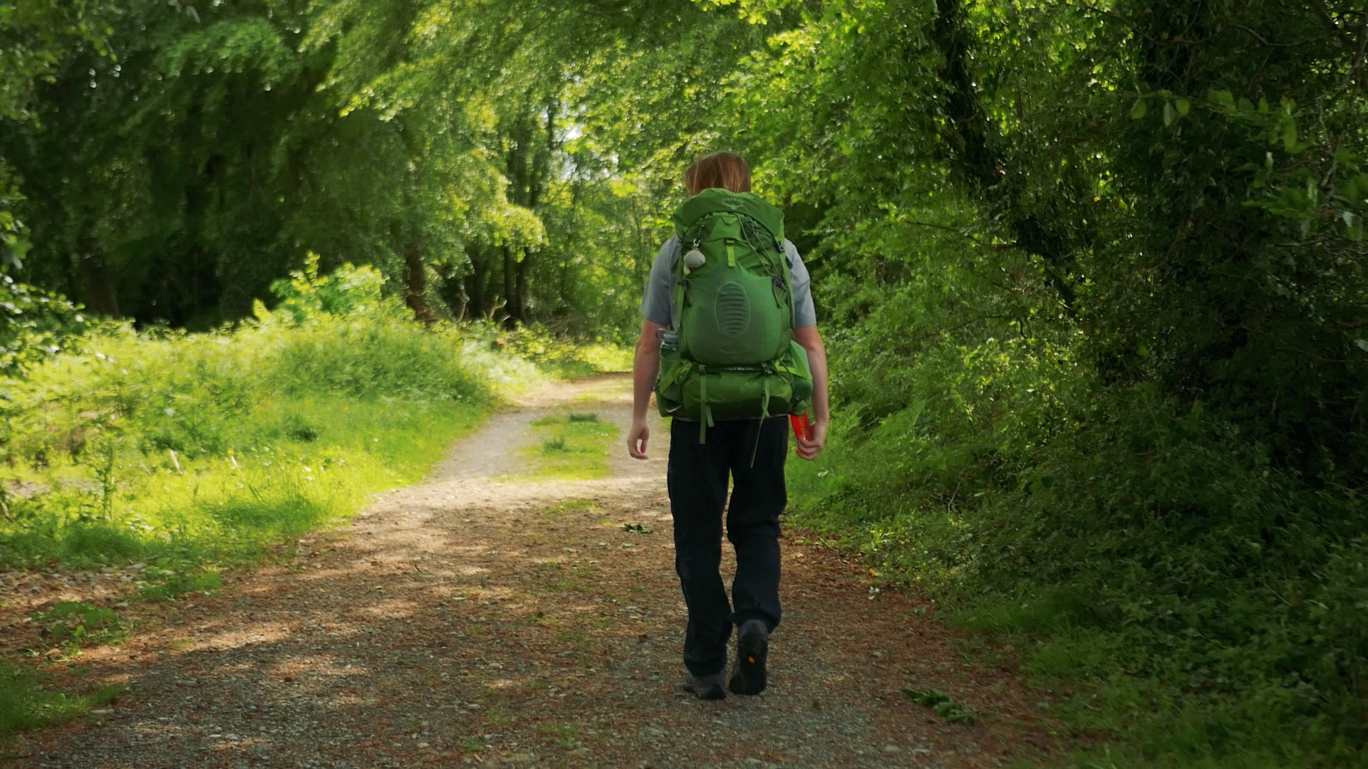
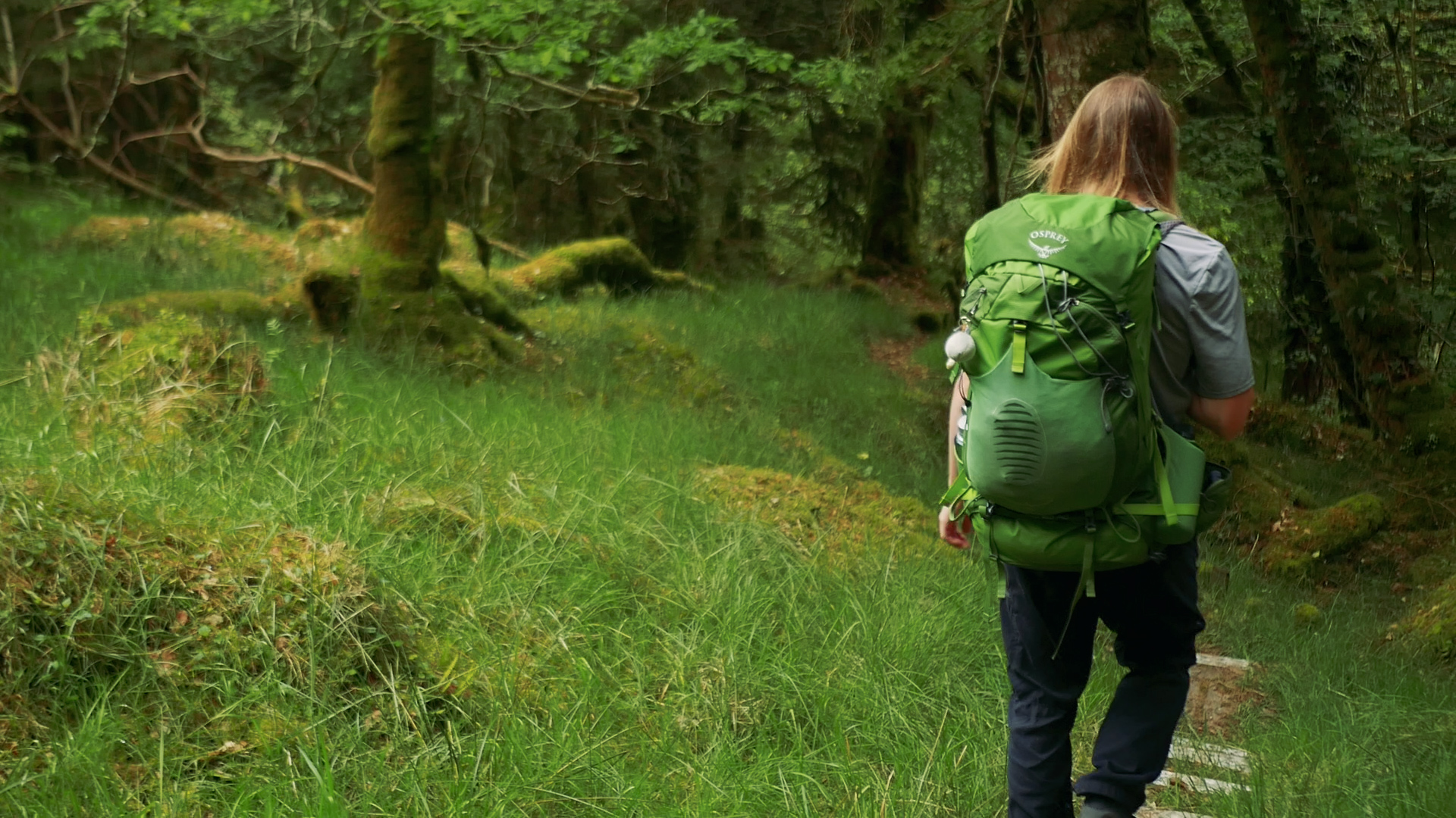
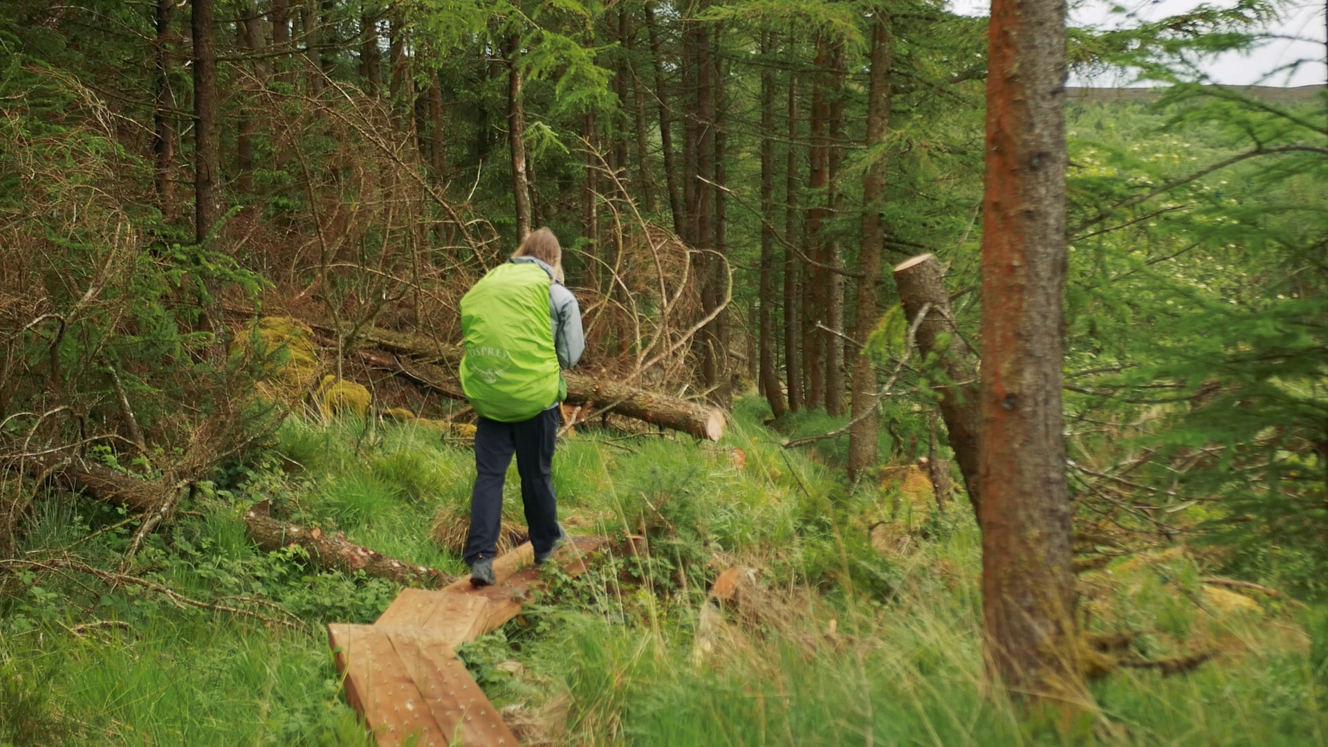
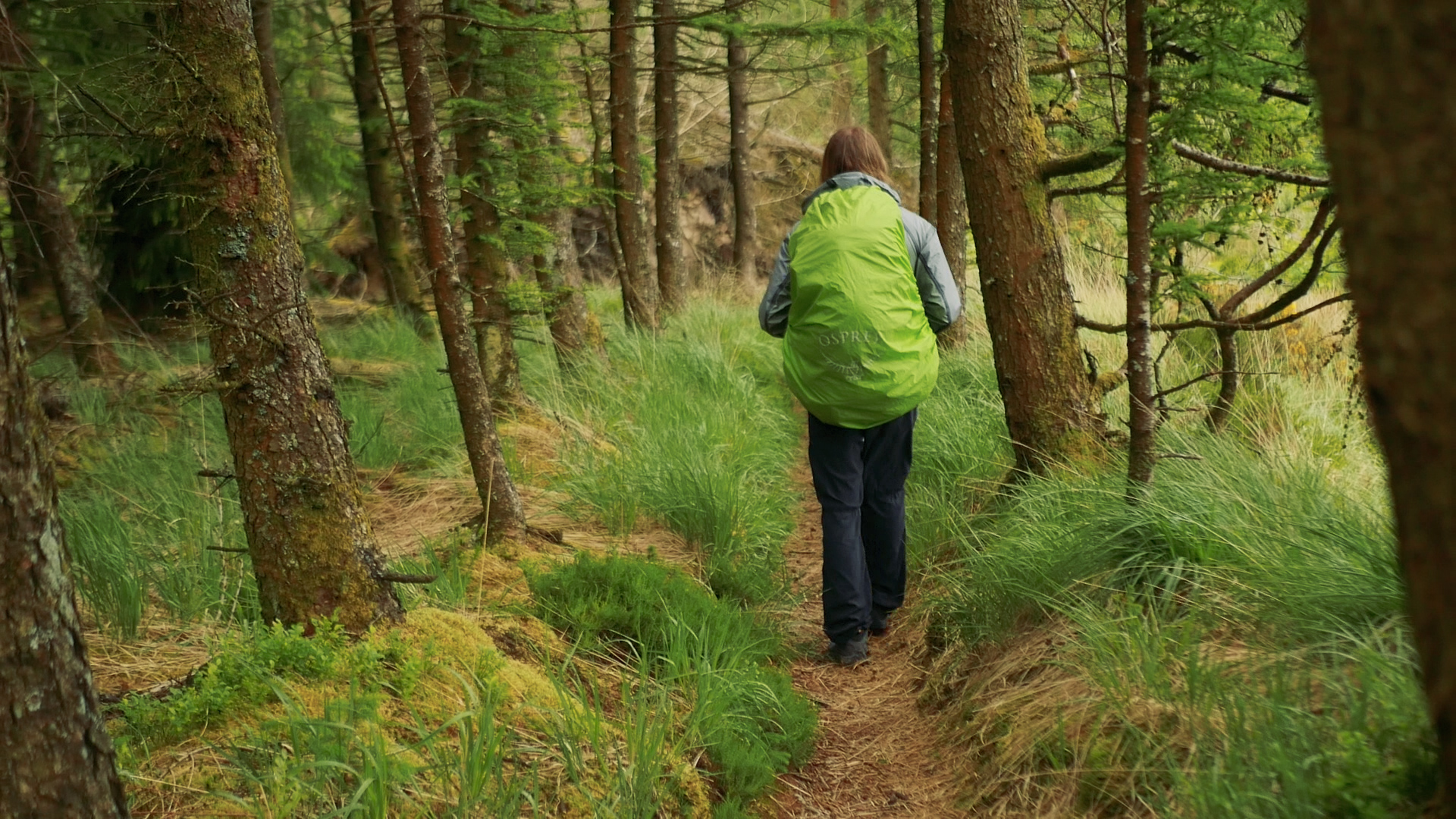
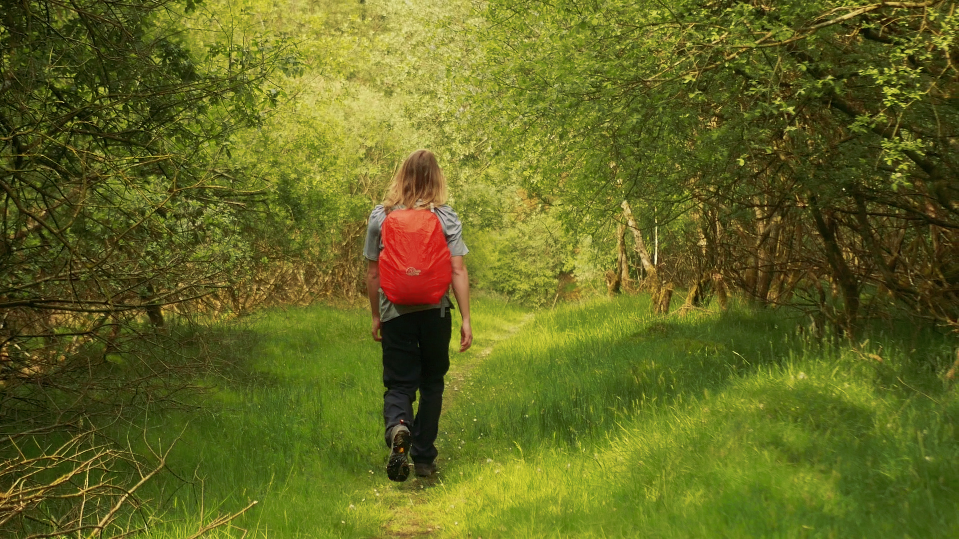
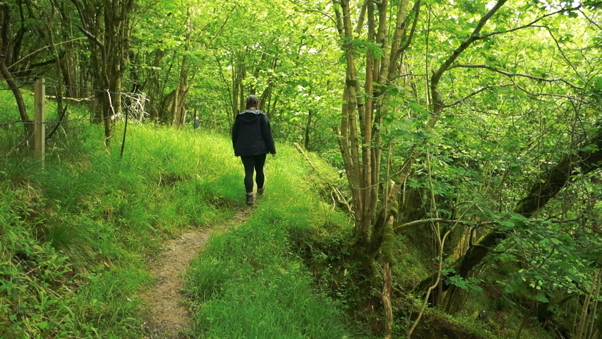
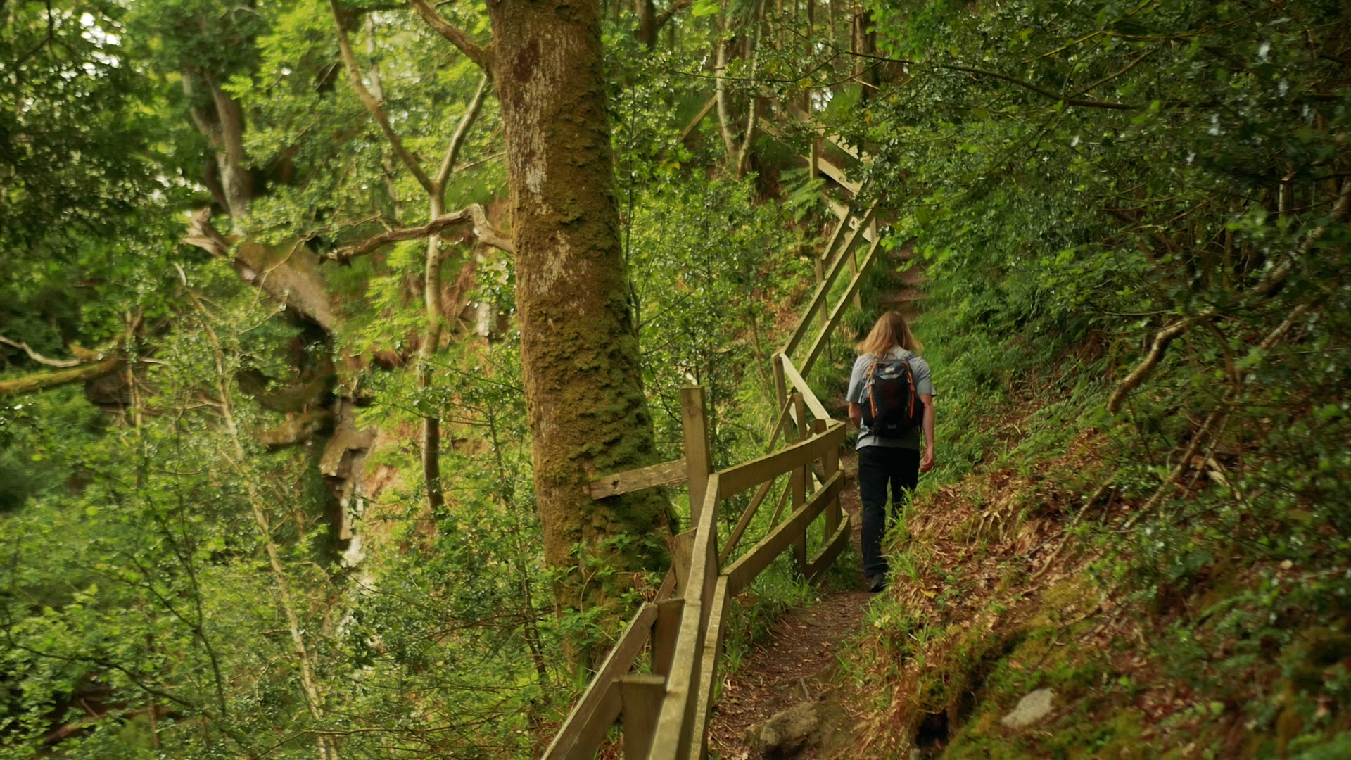
We spent the afternoon in a mix of clouds and sunshine, following forest tracks, small hiking trails and old access roads. The hiking trails are perfect and we spent the whole time smiling while we hiked (except for some of the very steep climbs, I think those faces might be described closer to a grimace).
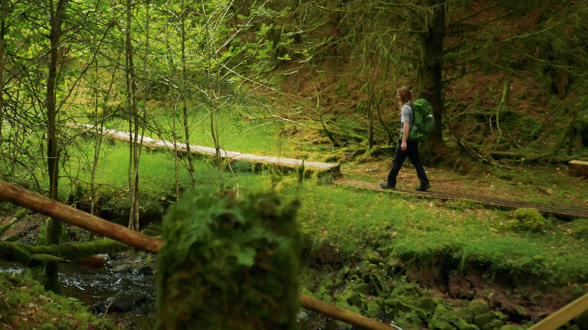
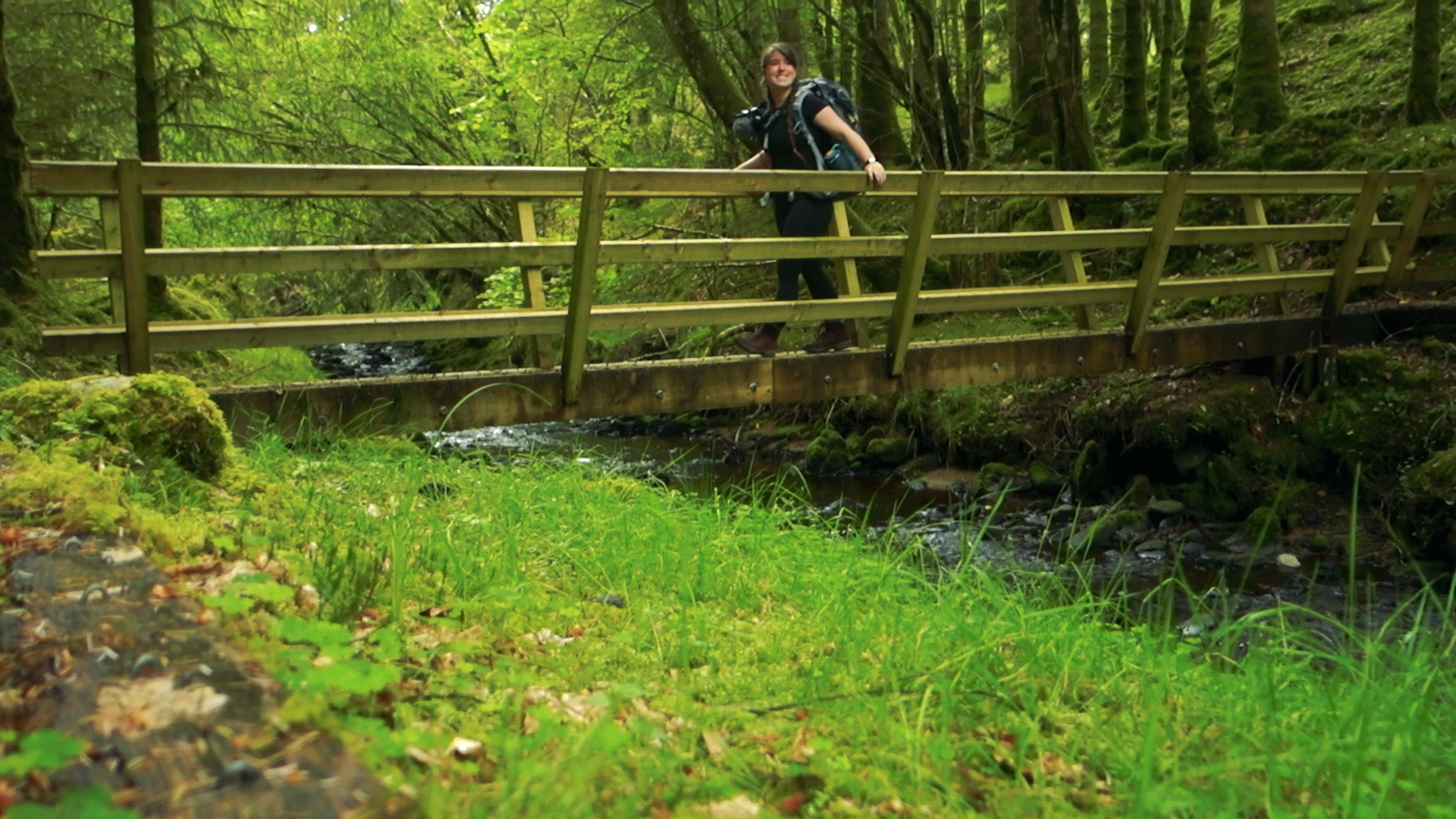
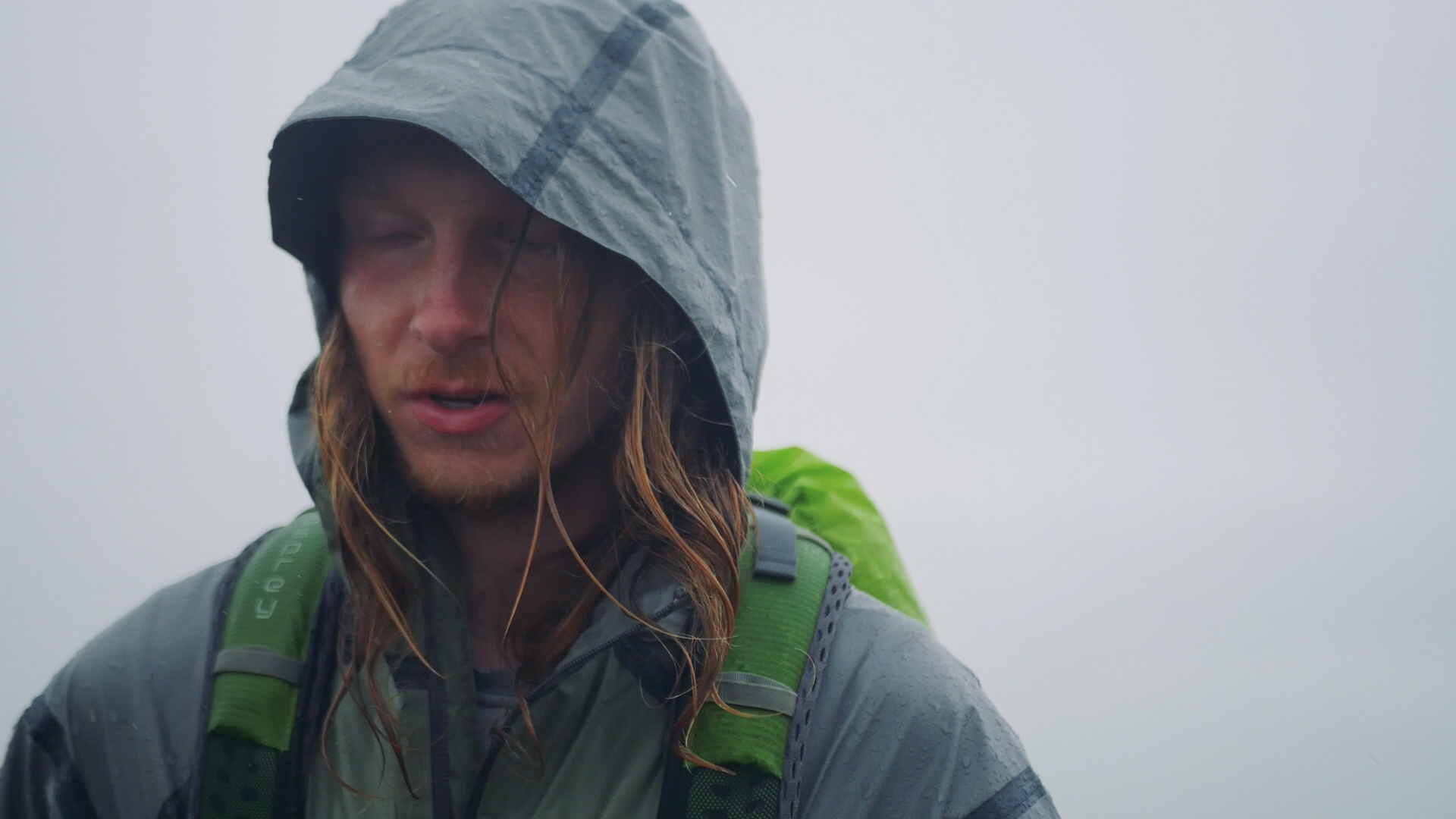
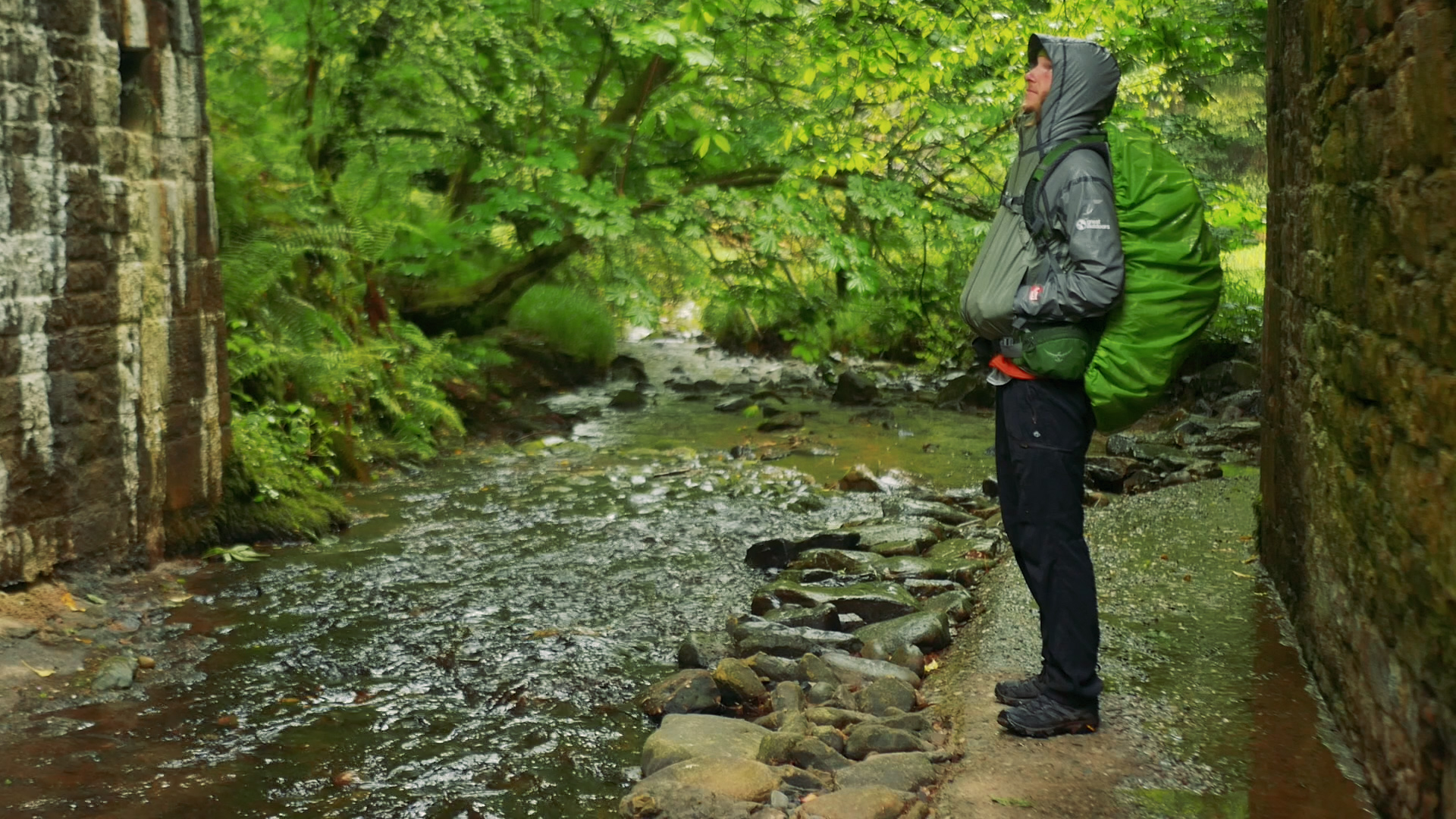
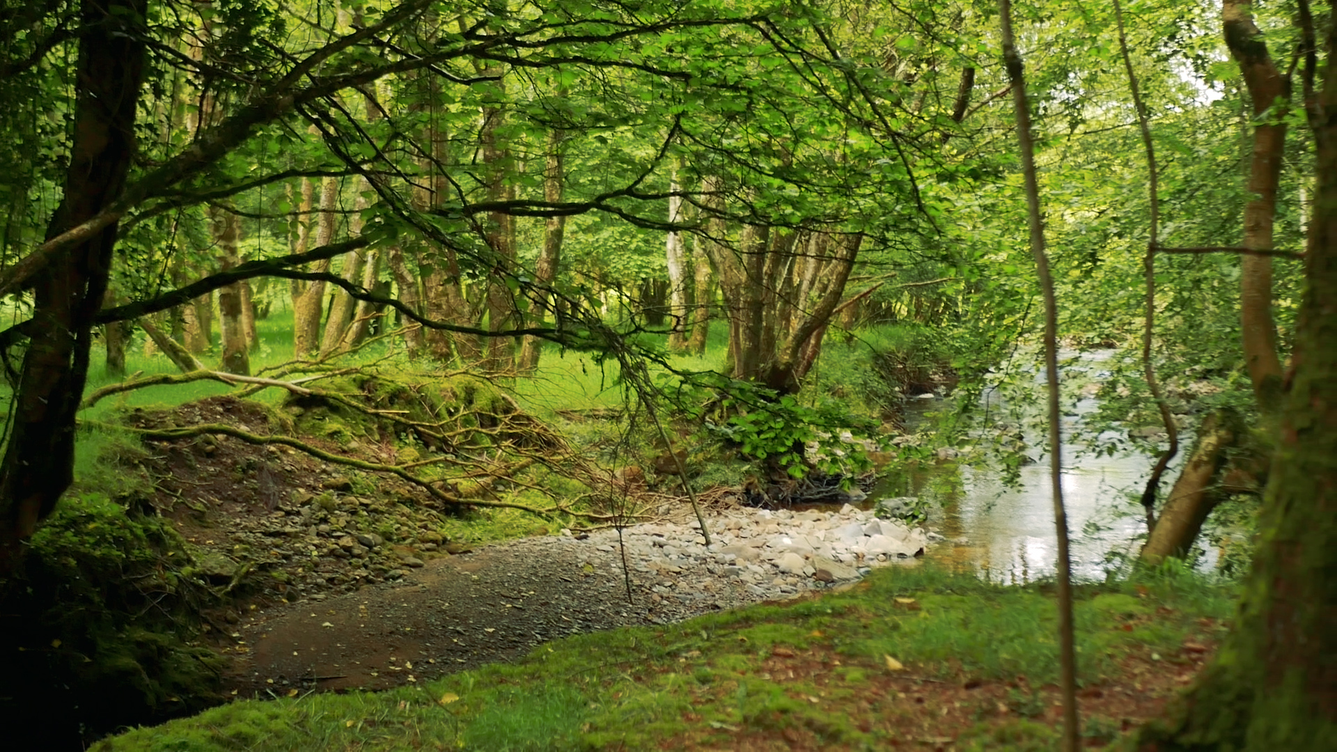
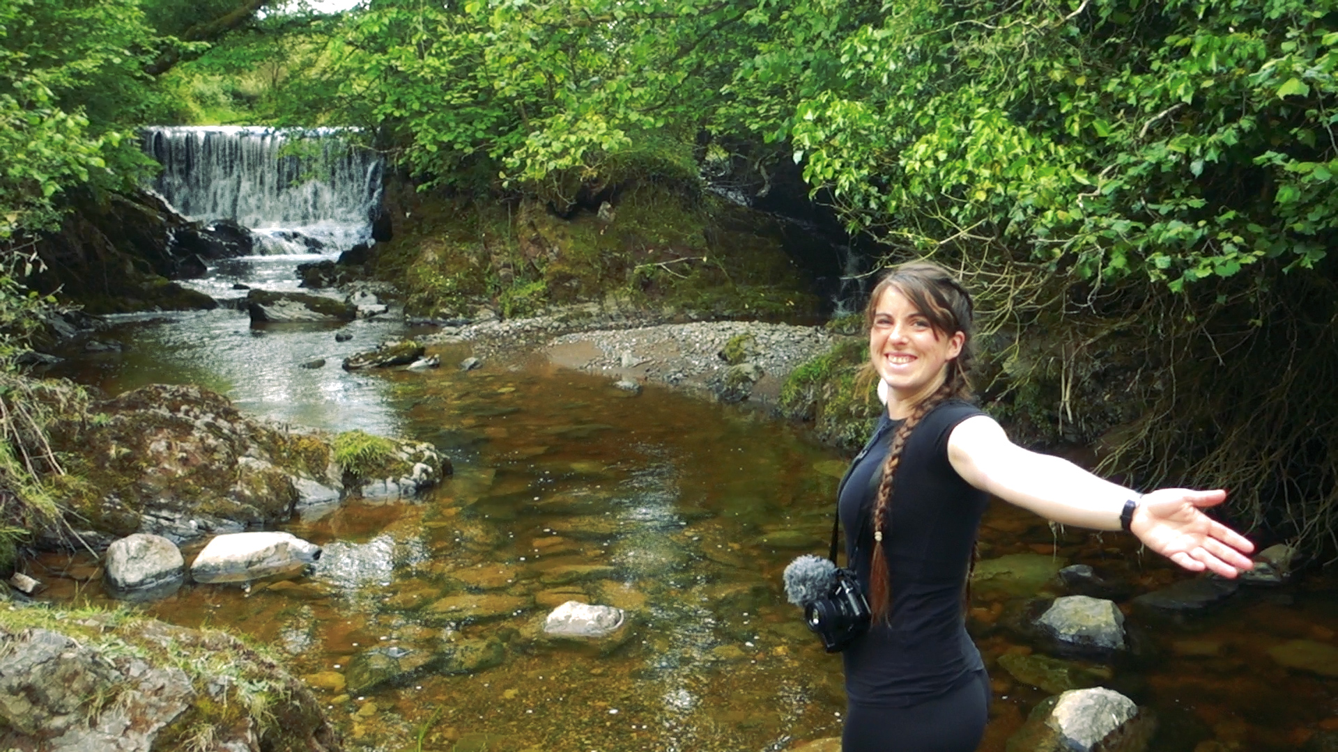
However, the sunshine wasn’t to last, and as evening started to draw in so did the rain. In the forest sections the tree cover helped, and we managed to take a break in a beautiful clearing for dinner. Not long after we came to the River Barrow, at much younger point than we’ve seen it before; up here in these mountains it’s a gushing stream with small waterfalls, compared to it’s wide twisting banks in Carlow. We pass the turn for Glenbarrow (more beautiful looped walk options!), and follow the trail past an old mill site.
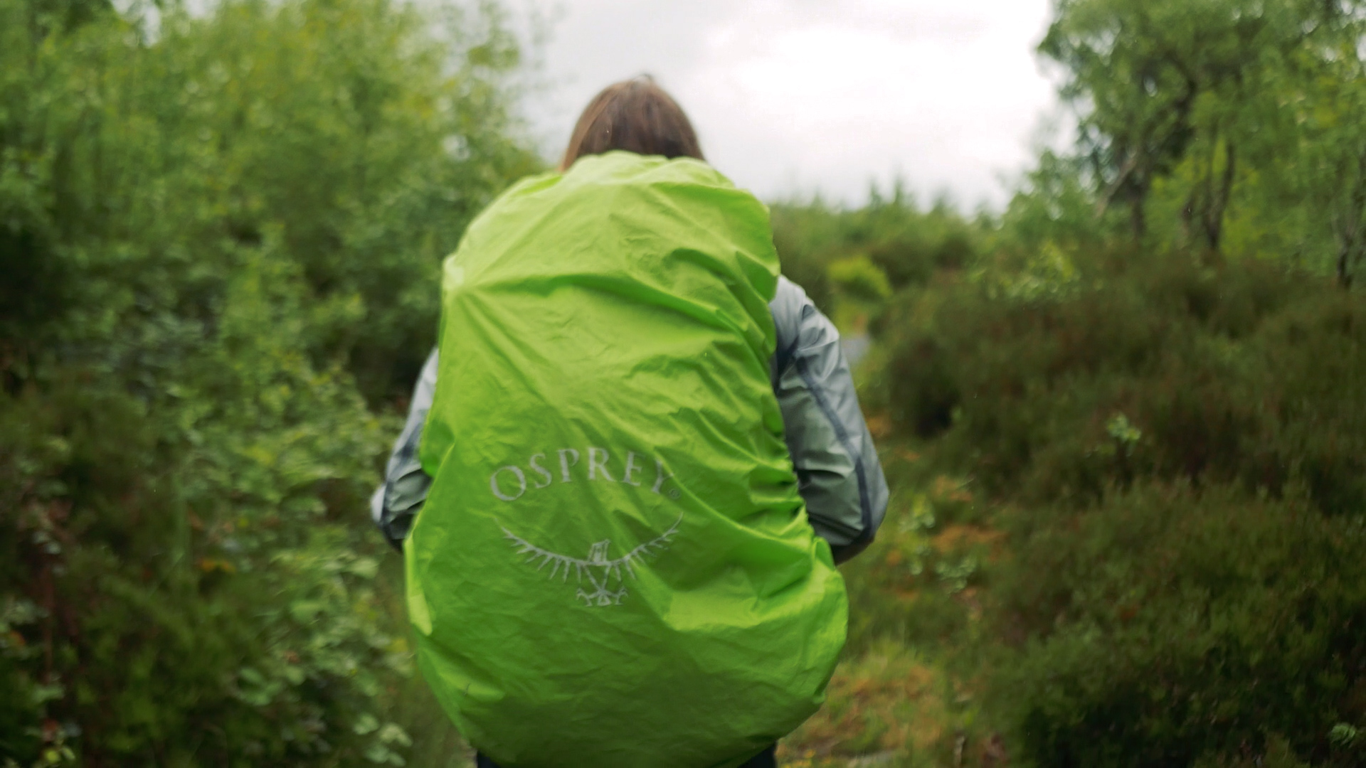
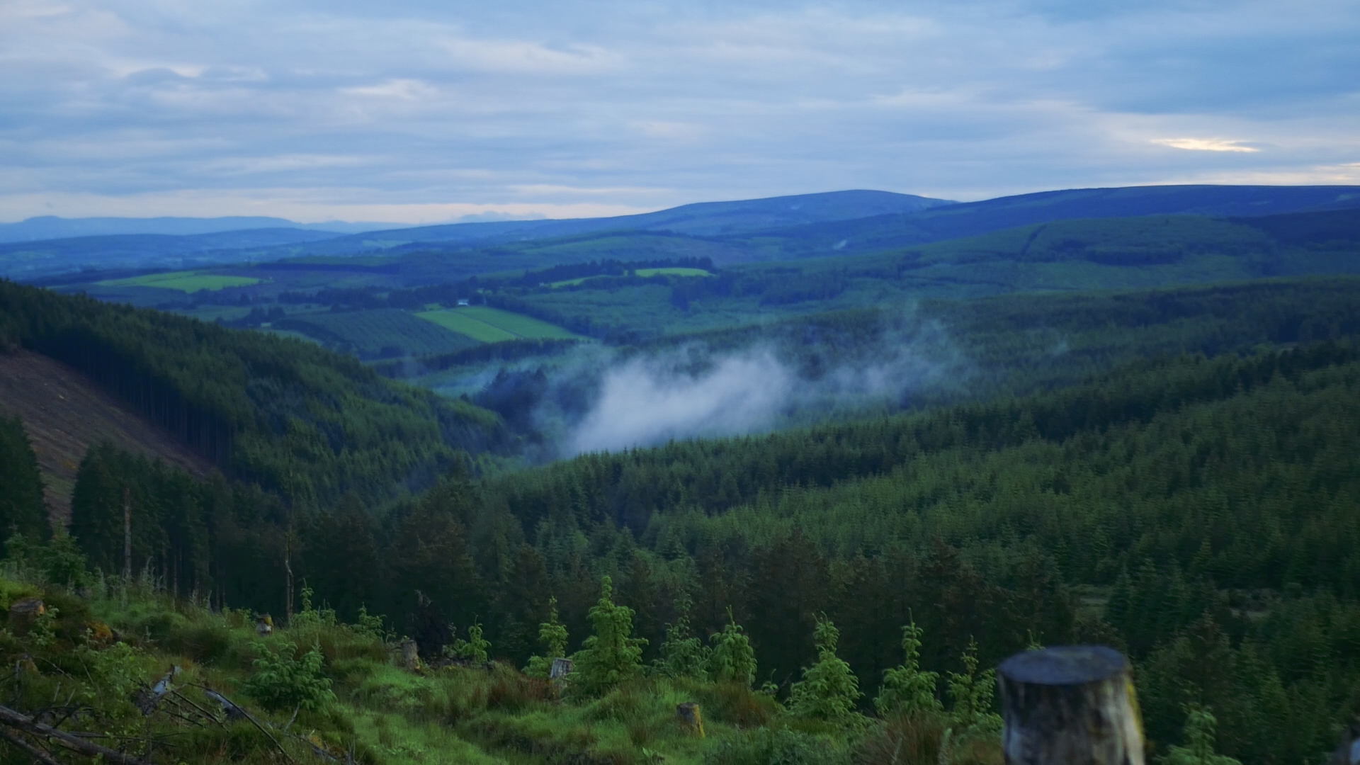
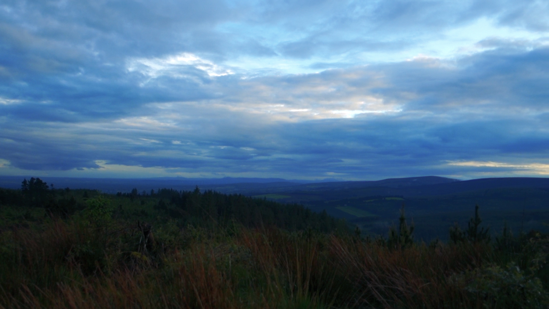
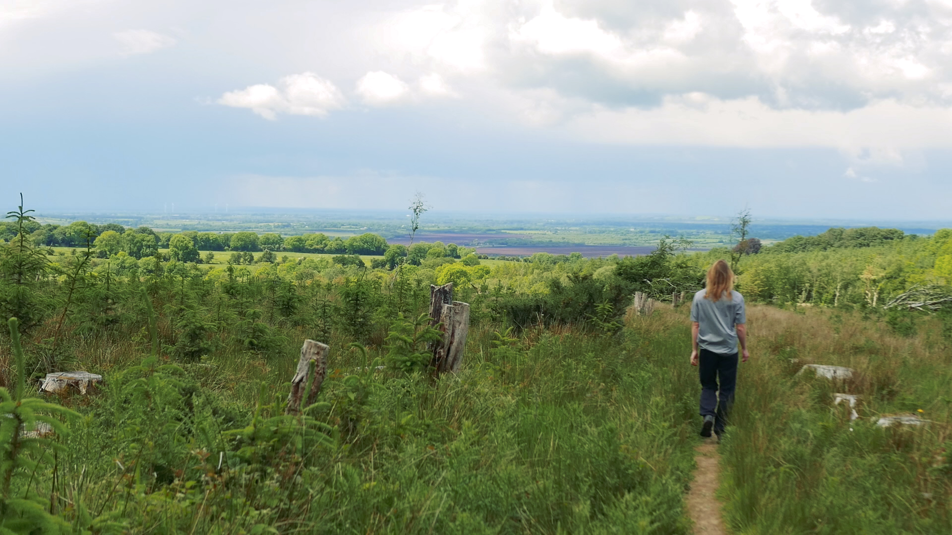
The rain wasn’t too heavy but it was persistent, and it slowly seeped through our layers as the day wore on. We reached a large viewing area on a hill top - the ridge of Caprad. There was nothing really for us to see as the rain was more vicious out in the open, but it was still a fantastic place to walk through. Info boards were laid out around the hill top pointing out all the other mountains that are visible there on a good day - and apparently you can see a lot. When we were originally driving to the Slieve Bloom Mountains we never had that moment of feeling like we were heading on a mountain hike - because somehow these mountains were invisible until suddenly we were in them. Standing up there, it really showed how low-lying the surrounding area was, and how that meant that even though we weren’t high up (300m), we could still see for miles.
Not wanting to stop while it was still raining so hard (or camp anywhere too exposed), we walk late into the evening. That night we make it to the Monicknew area and camp out.
(Looped walk in Monicknew)
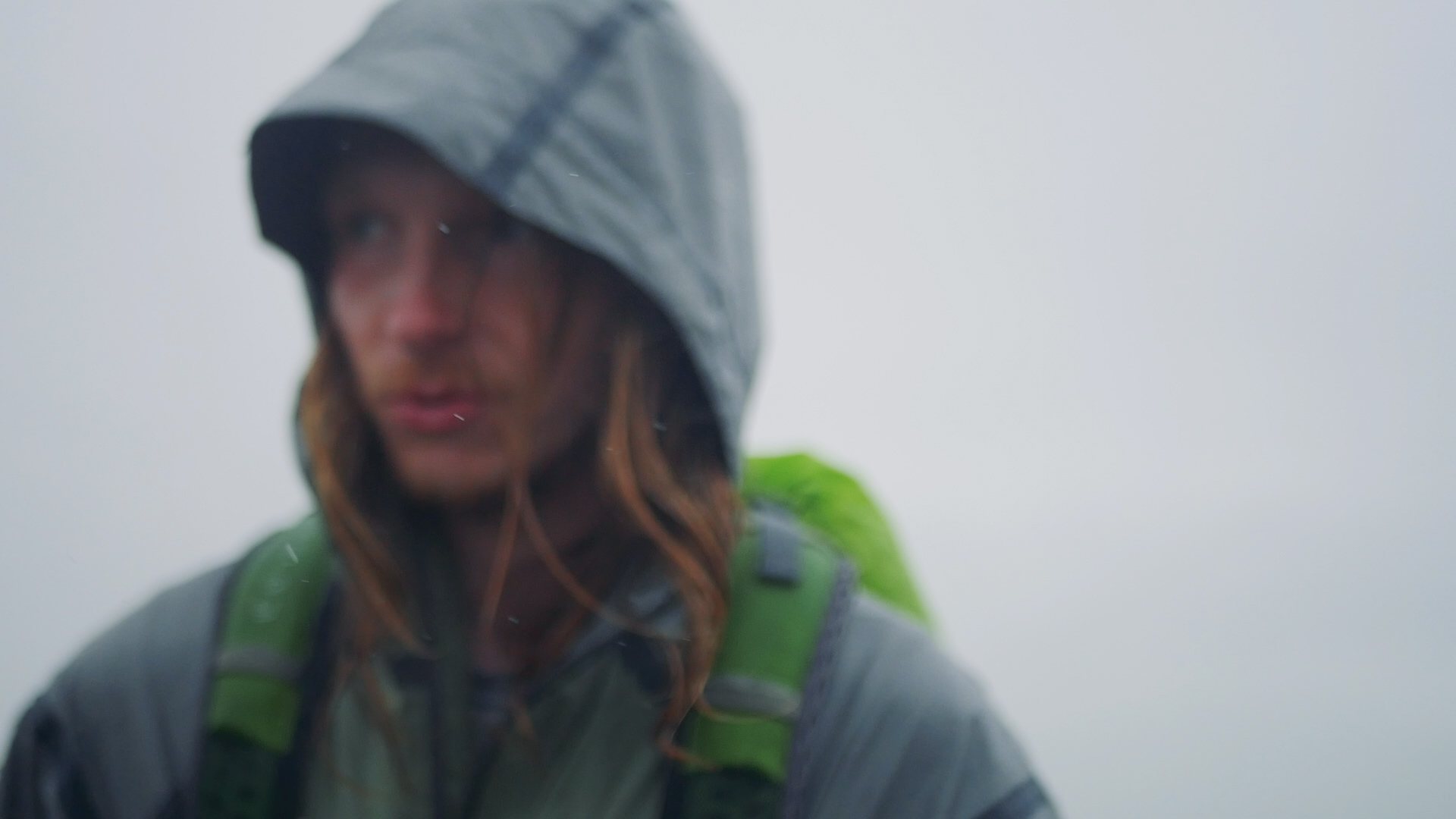

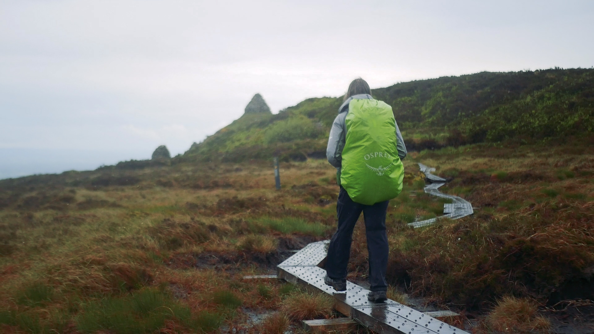
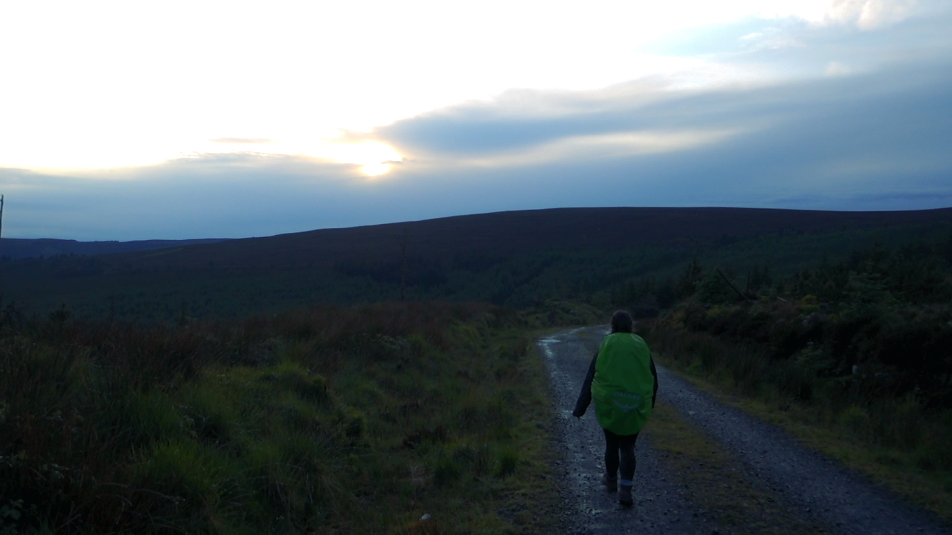
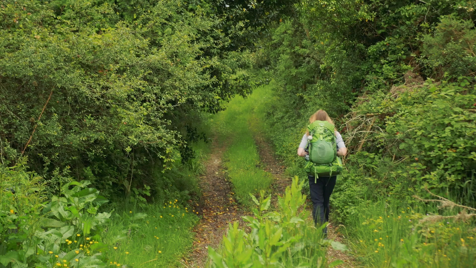
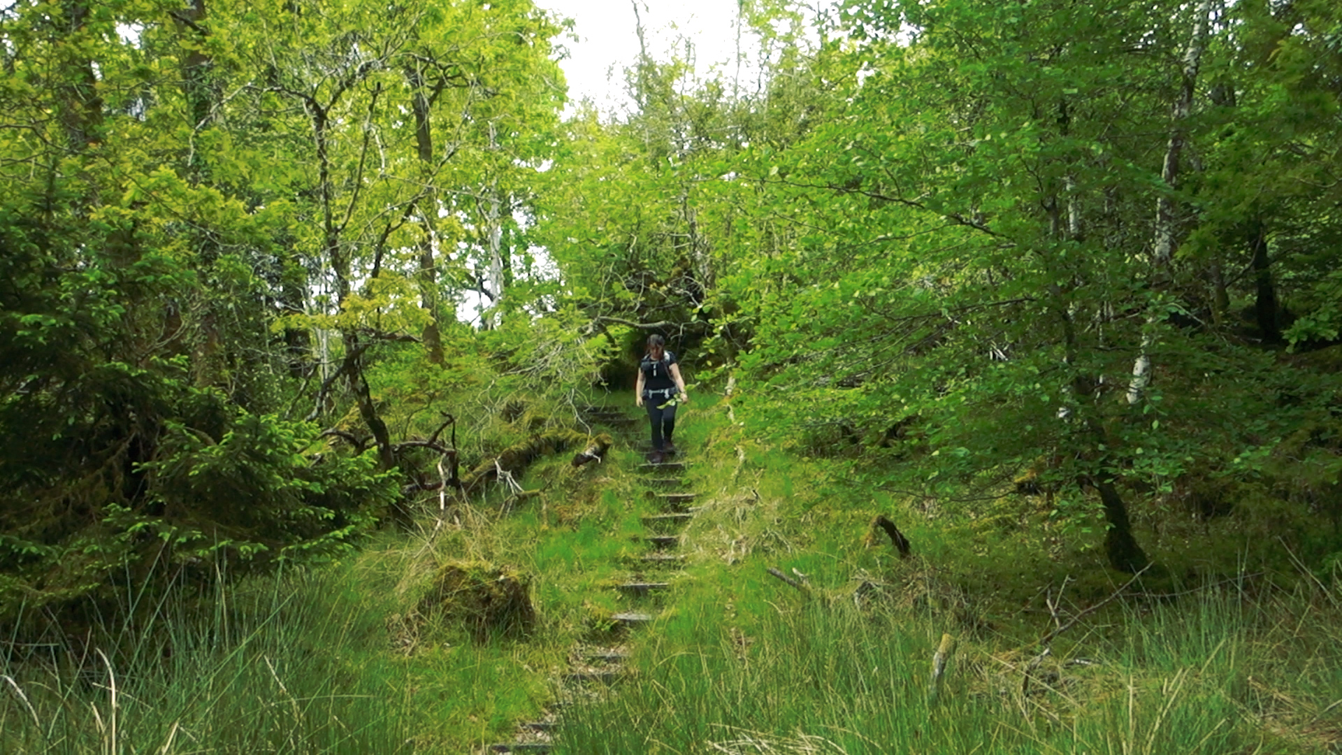
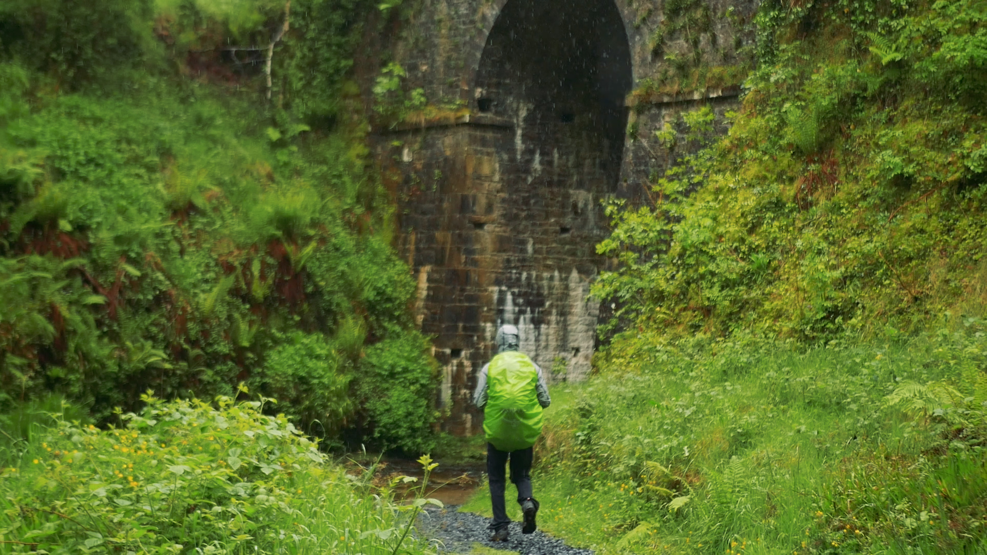
The next morning as we packed up the tent we tried to wring it out, but it was incredibly wet. Overnight the rain had built up strength, leaving us in a puddle. Feeling like we had as much water in our bags as out, we set off once more. The rain has made all the moss and lichen explode with life and vibrance, and as we walked the forest almost glowed with so many shades of green and yellow and brown. We passed under vaulted bridges and walked some river bank trails, hoods up and boots squelching all the while. At around this point we learnt that there was a weather warning for even more rain to hit this area. We reach the turn off for Kinnitty and head off trail to find somewhere dry to sit and think.
Reaching the village, we collapsed into some covered seating outside a closed pub. We peal rain covers off our bags and wave them in the already moisture laden air. Now that we were sheltered we could take a better look at the weather forecast. The rain warning was to continue until the next day. As we tried to figure out how to dry our tent enough to sleep in it, a tiny local link bus pulled up beside us. In that split moment (as the guy leaned out the window and shouted “Birr?” through the wind) we decided to bail on the trail, and head back when the skies were a little clearer. The trail itself was fantastic, and we were really looking forward to finishing it, but for us there was no point in trying to finish it in a storm. It was only as we were on the bus that I realised we’d only been there for 23hrs - but had walked about 50km. Making it to the town of Birr, we sit in a chipper until the next bus comes to take us home.
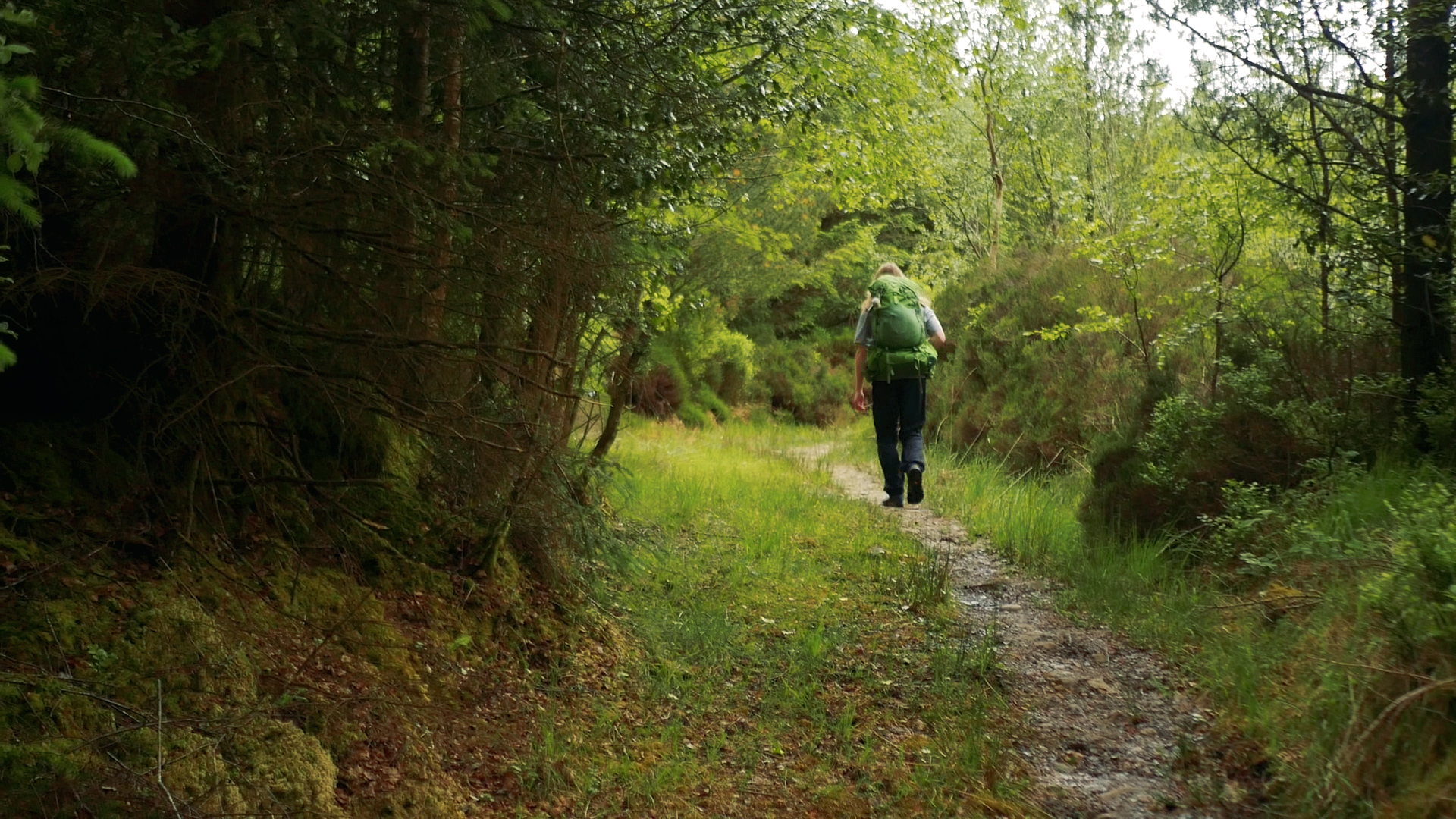
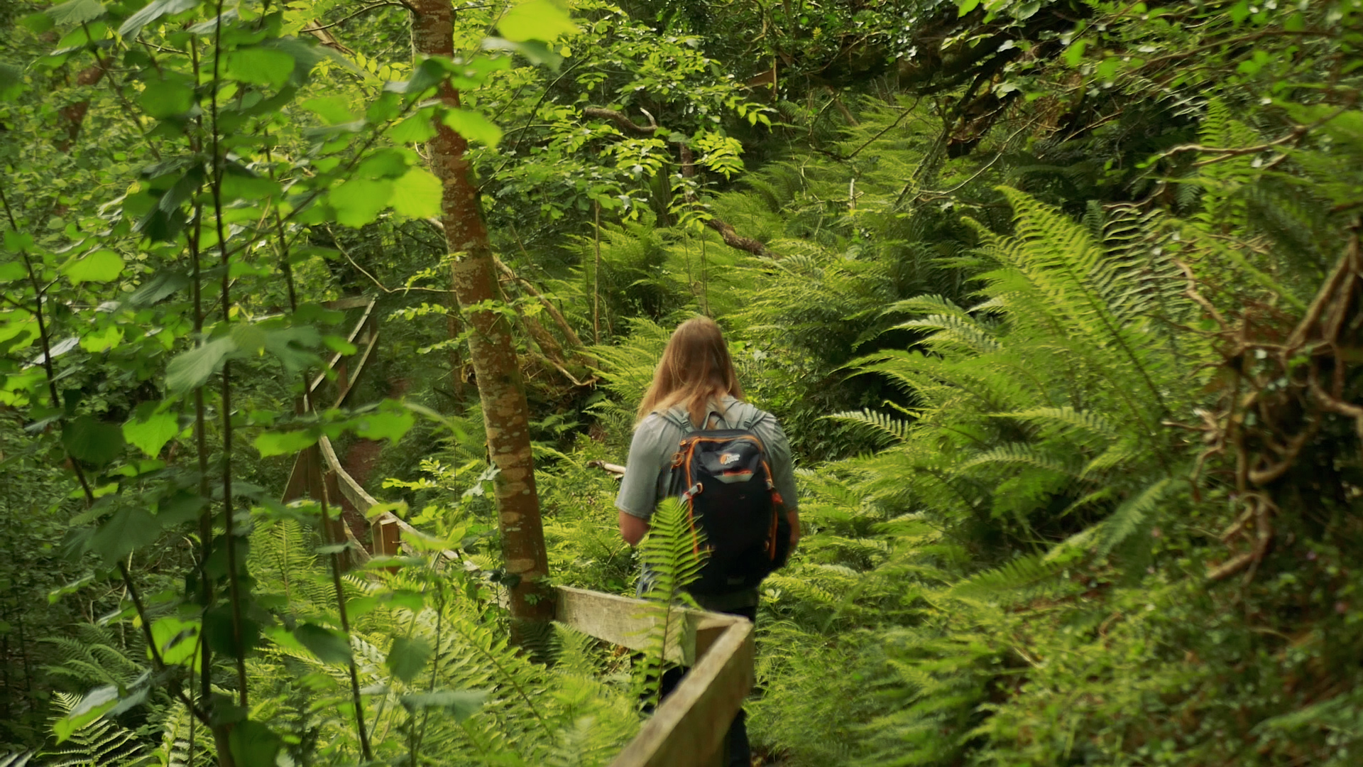
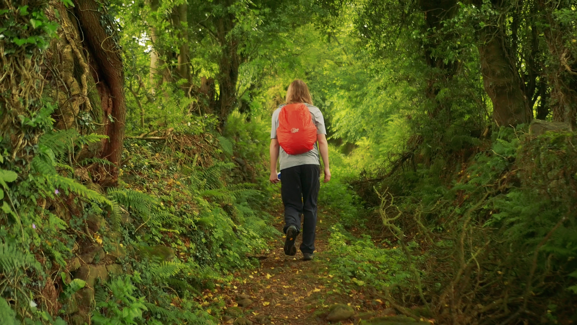
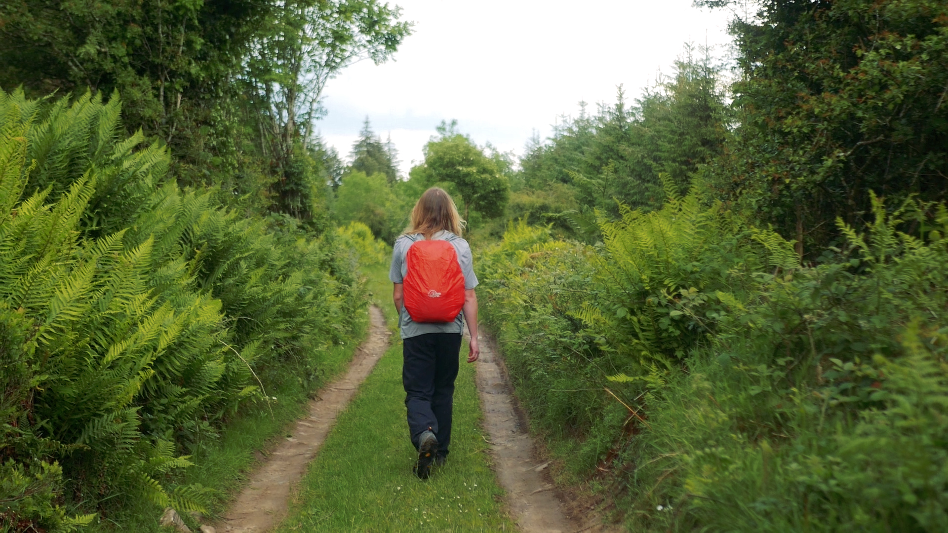
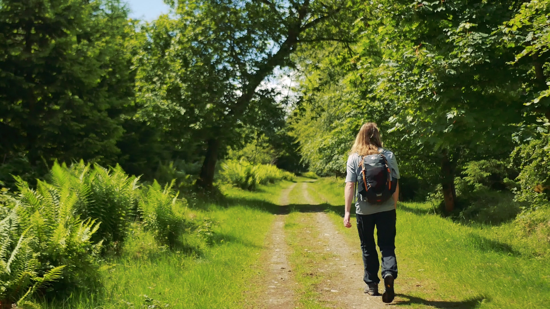
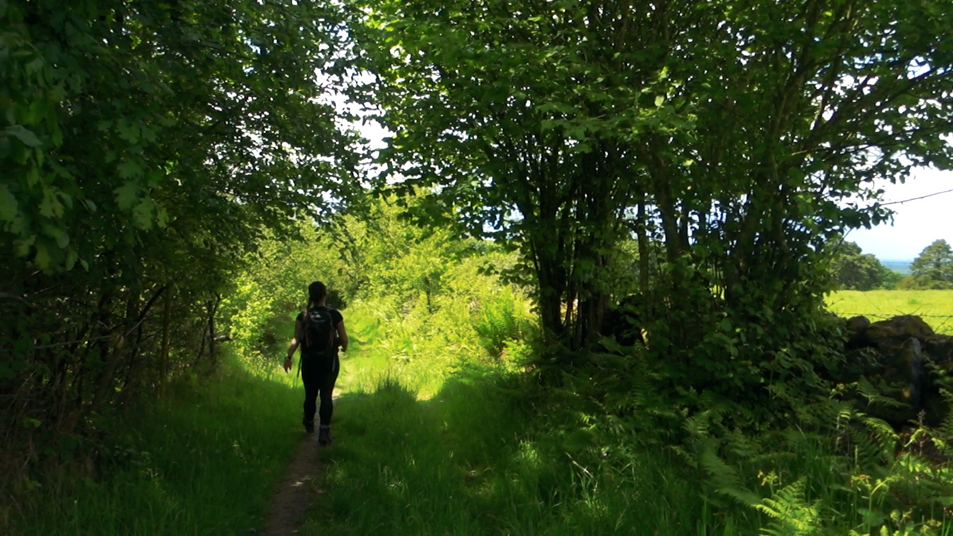
A week later and we are back out on the trail to finish the final 25km. After being washed away already we were prepared, but need not have worried. We spent the day in near perfect sunshine, following more beautiful river walks and forests teeming with wildlife. The trail does a wonderful job of making sure you’re not walking on any one surface for too long, with a mix of boardwalk, dirt trails, stony paths, forestry roads and sheep fields. From these hills if you look north towards Cadamstown you’re looking roughly at the Offaly Way, which we had walked only a few trails prior.
One of our final sections of this trail was the Silver River, and we couldn’t have imagined a more perfect piece. The river is within its own little gorge, and the trail takes you up and down its rock walls. There was one final downpour of hailstones before we reached the end, but even that very unexpected moment couldn’t dint our smiling faces at the end of this trail.
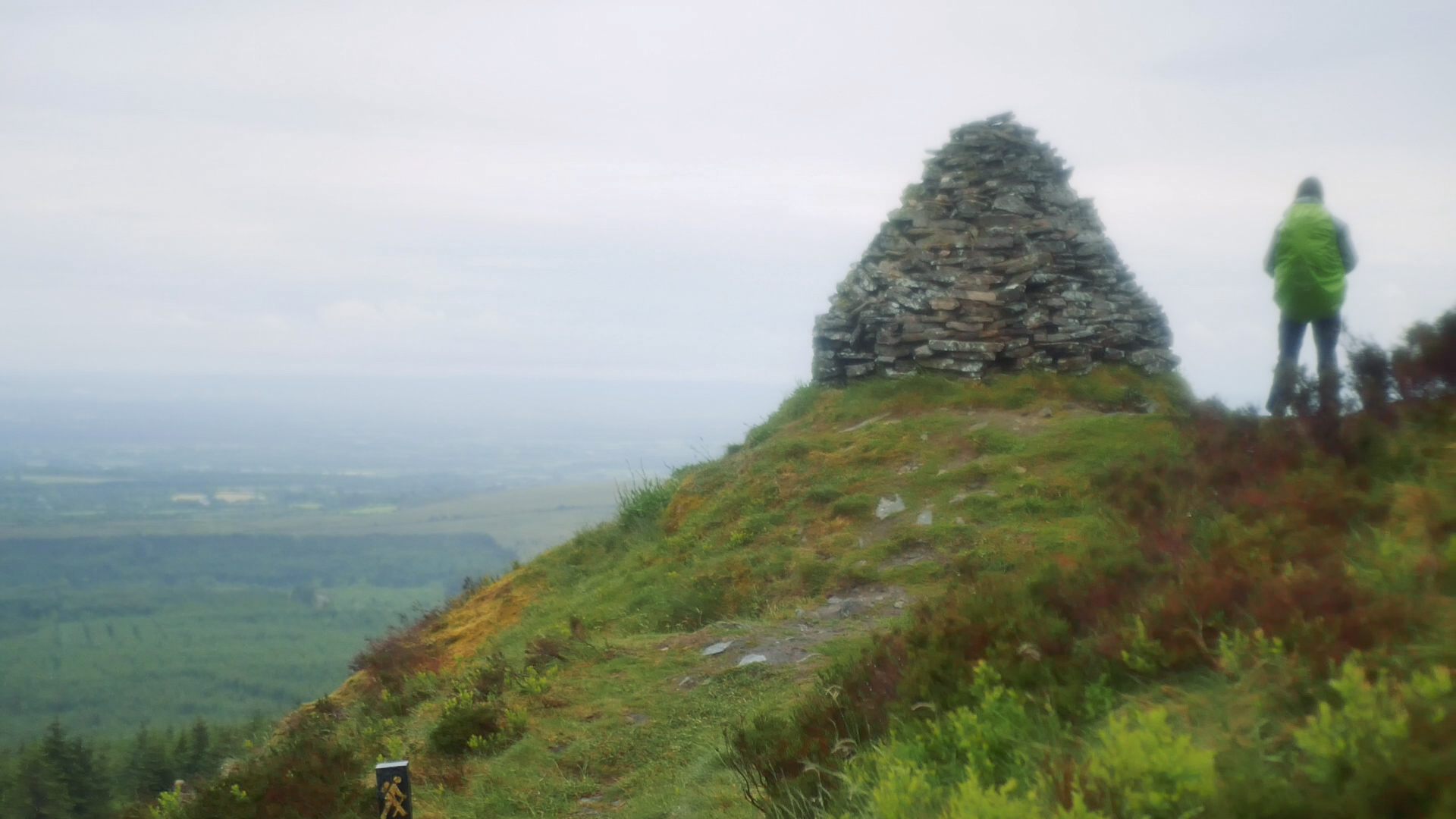
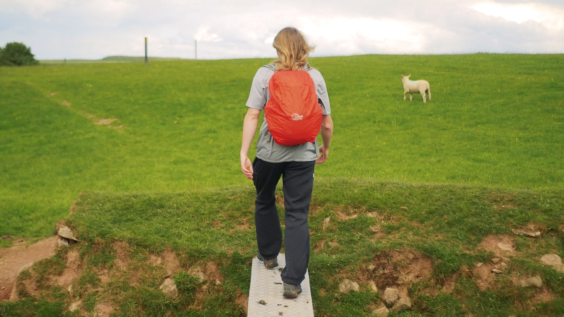
After Cadamstown we walk through sheep fields, climb up another hill, and pass the Giant’s Grave. The Slieve Blooms are Ireland’s largest state-owned Nature Reserve, covering over 2,300 hectares. Managed by the National Parks and Wildlife Service, it was established in 1985 so that it could be managed in such a way as to ensure the conservation of the mountain blanket bog ecosystem. In addition, the nature reserve is designated a Ramsar Wetland Site and a Council of Europe Biogenetic Reserve. Much of the greater upland area has been designated as a Special Area of Conservation (SAC) and as Special Protection Area (SPA), to protect both the bog and protect the habitat of the Hen Harrier, a rare bird of prey. While we were there we could see and feel that the place was teeming with wildlife. We saw foxes, deer, birds of prey, herons, small nesting birds, and so much more.
Following a few final grassy lanes we made it back to Brittas forest and the village of Clonaslee. This trail really couldn’t be any better, definitely up there in our favourites.
A big thank you to everyone who helped us get to this trail - we had 3 different people give us lifts, and we really appreciated it!
Here’s a link to our video of the trail.
A link to our Slieve Bloom Way Video!
If you like our blog you can subscribe to it here!
If you really like it, you can support us on Patreon