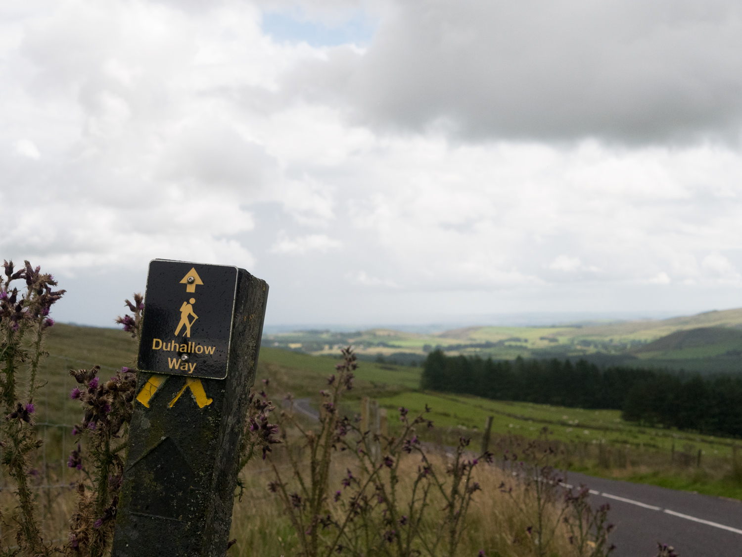
The Duhallow Way Overview:
Official length: 67km
What we walked: 68.7km
Trail difficulty: 4.5/5* condition dependent
Trail Quality: 4/5
Views/area: 5/5
Camping/Accommodation: There's accommodation in Millstreet and Mallow, which isn't too far from Bweeng. Otherwise you're pretty much by yourself. Camping is definitely possible in dry conditions.
Public transport: Neither end really seemed to offer much ways of getting to/from. We walked to the start and got a lift from the end.
Maps: We’ve made our own Tough Soles maps! These maps are free to use, remix, and redistribute under CC-BY 4.0. All you need to do is attribute us! Here are the Duhallow Way maps, and here are all the maps we’ve made.
This is trail 17/42 in our project to walk every single National Waymarked Trail of Ireland. This was us from day 104 - 107.
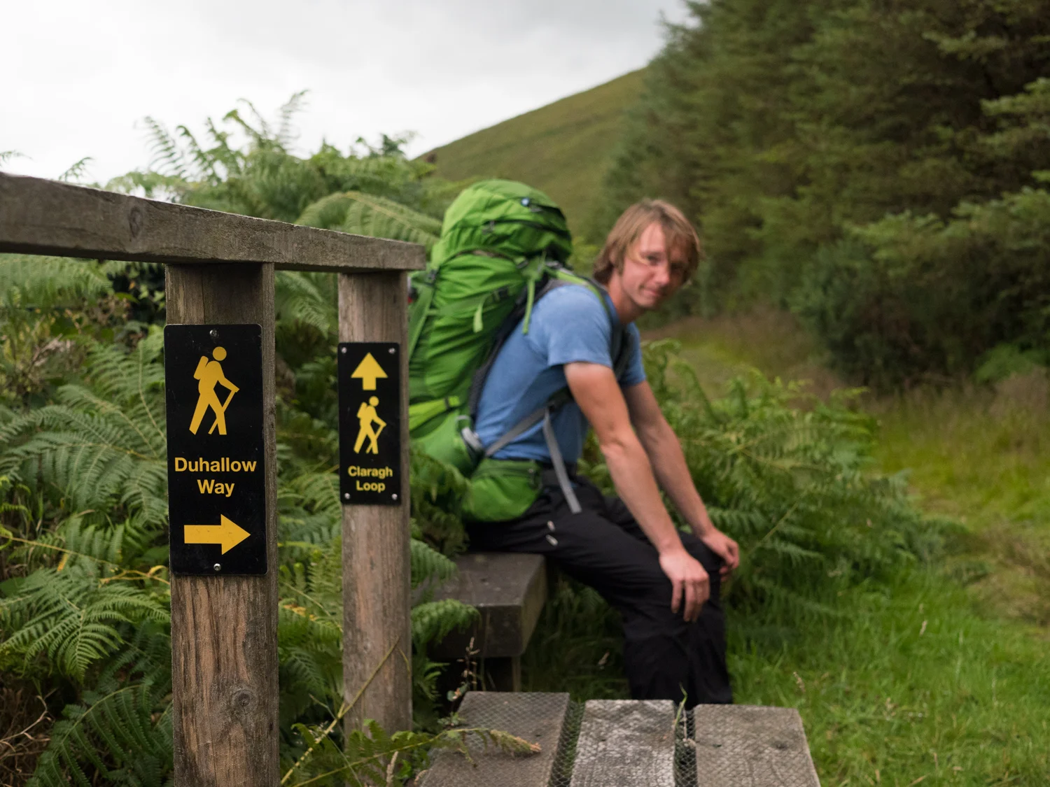
The Duhallow Way and the Avondhu Way together form the Blackwater Way - the Duhallow Way is part 2/2. Only around 67km, this is definitely the shorter section of the two halves. The small town of Bweeng that we started in was a crossroads with a pub and a housing estate, so we moved on, walking in a light but persistent drizzle. I say light because the rain wasn't attacking us, but it was definitely very wet.
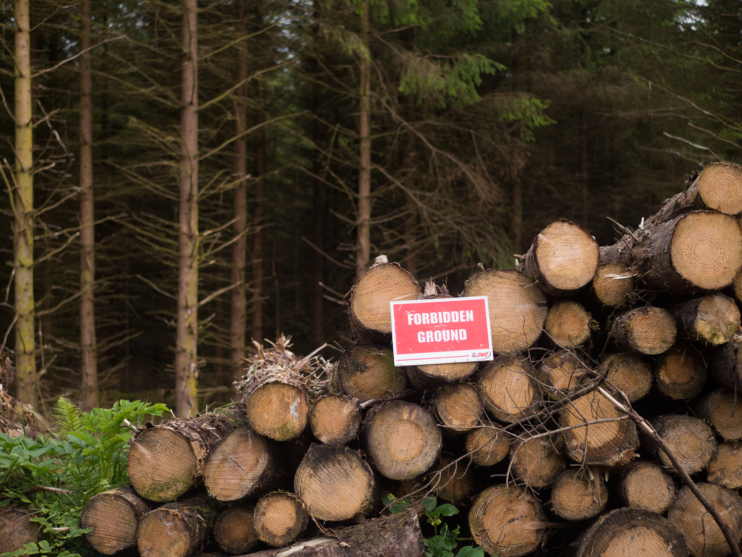
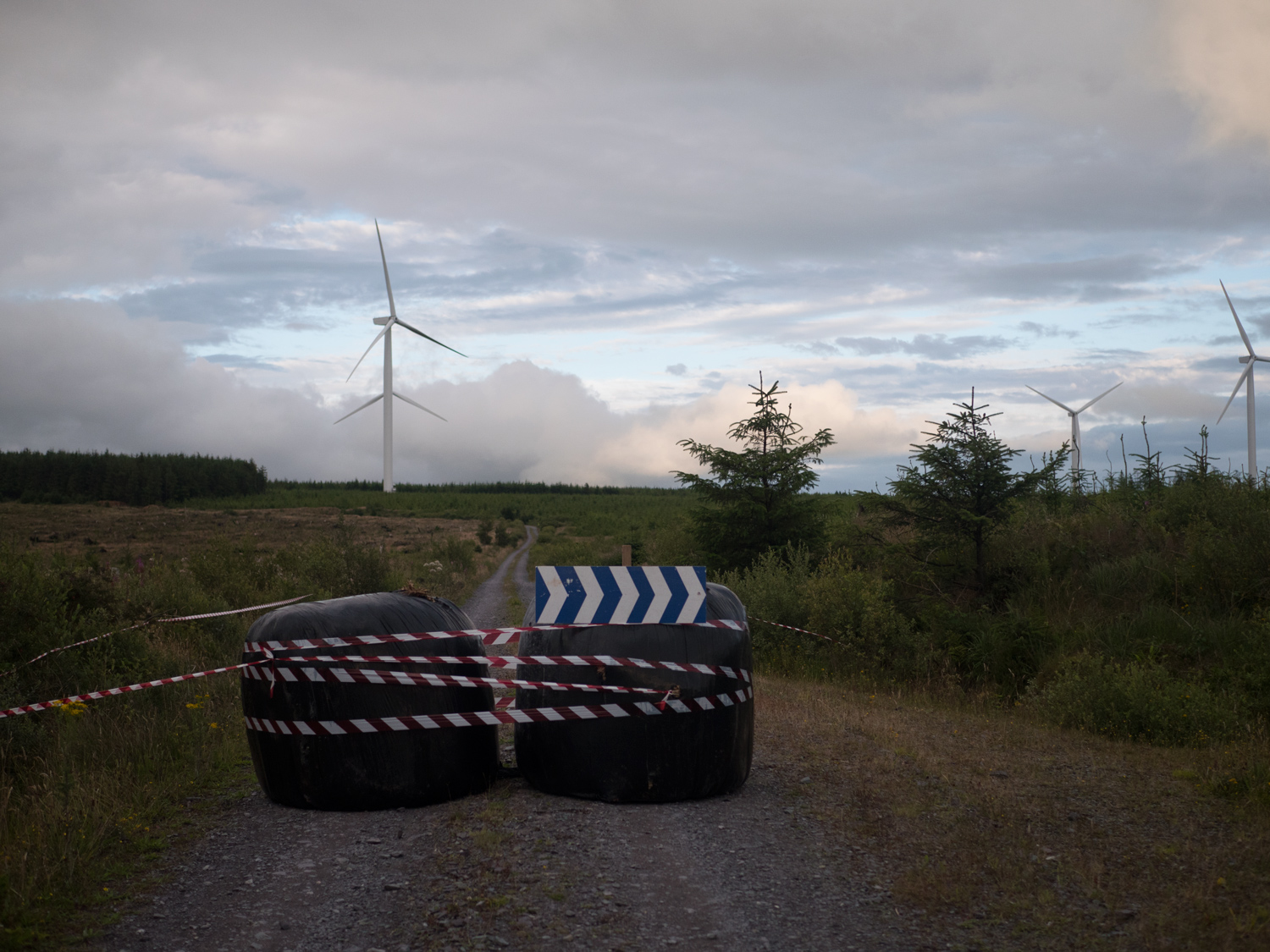
After a short road section the trail enters some working forestry. This is where we had considered camping for the night. At the entrance however, we came to this small sign stuck to a post. It informed all visitors that the forest would be closed for Sunday the X of July as the National Forest Rally would be taking place there. I looked at my watch. It was 7pm on Saturday. The Saturday before the race. We wallowed in despair for several minutes.
We hadn't passed any accommodation on the way out of Bweeng, and neither of us had got a particularly pleasant vibe from the place anyway. But fast cars flying around the same forestry tracks as us was also not appealing. There was still some light in the day. We could walk somewhere.
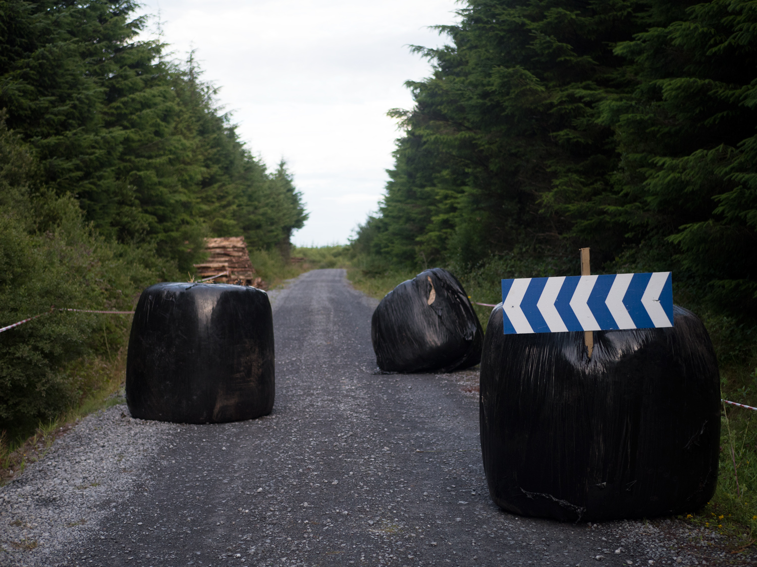
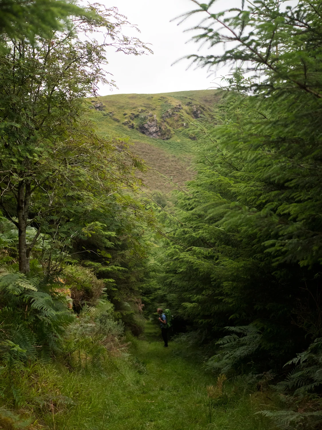
It was strange how precisely the race track followed the trail. Every Elvis we came to was being used to hold tape or large arrows. Around 10pm we turned off the forestry tracks, and were onto trail. Sadly this didn't offer the respite we were looking for - the forest was currently being felled and most of our trail was covered in fallen trails or just torn up. We struggled on for a while, the wet drizzle, still going strong after several hours, having permeated nearly every layer.
We set up camp at about 10.30pm, spent a further half hour or so killing midges, and passed out. Not the start we were hoping for, but hey, we'd bitten off way more than we expected to get through having started the way so late in the evening.
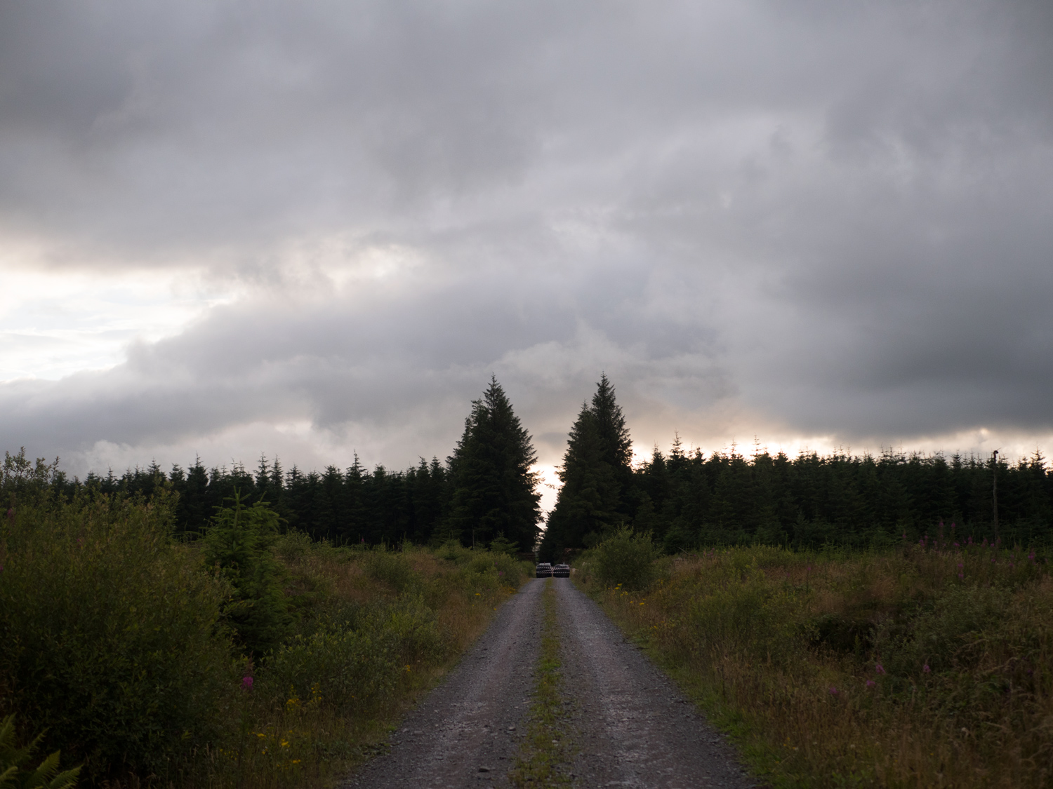
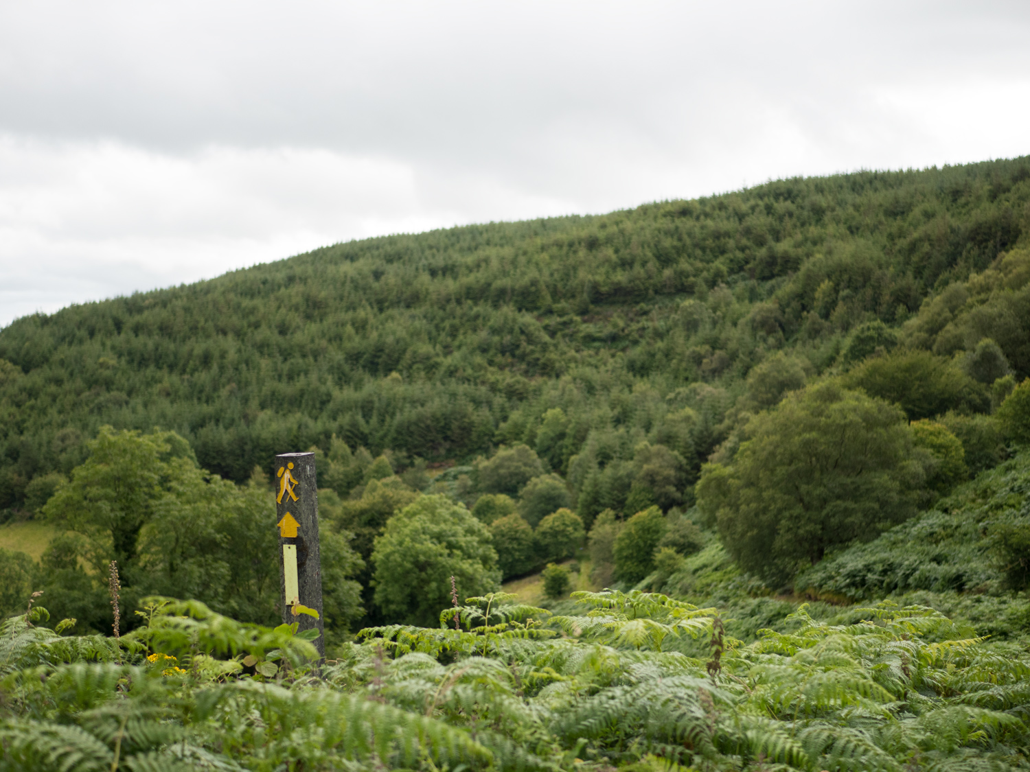
We woke up as early as we could move ourselves - 6am. We put on our wet clothes, took down our wet tent, and moved on through the wet day. Once back on forestry tracks we realised that we had not fully let the race track. We power walked for 2hours, as the event was due to start some time after 9am. We had just reached the top of a long hill and we starting to slip towards despair again, when we saw two jeeps coming towards us. We assumed they were inspecting the course and would ask us what we were doing, maybe even give us a lift to wherever the trail and the course split from each other, or maybe even just to the other side of the forest. I know our thing is to walk every bit of a trail, but in that moment I just really didn't want to get mowed down, or stranded in the middle of the course unable to go anywhere. I stop walking and wait for them to stop. But no. We got a wave, and then they drove on. To say I was confused is an understatement, as surely we were exactly the kind of thing they were out there checking to make sure was not there.
We walked as fast as our lungs could power us. We made it out of the track. We then collapsed and ate breakfast. It consisted of a fruit cake and some digestives, which is pretty much all we live on at the moment.
After some more trudging, we were back on road, and that carried on for quite a while. My boots we're dead on my feet, and my feet were sopping. But otherwise there wasn't much that was memorable that day. If there hadn't been as much rain, and the forest hadn't been a racing track, and also in the process of being removed, I think that section might have been nicer. It wasn't bad. There were some nice views, but it wasn't anything to write home about, so I guess I'll stop writing now.
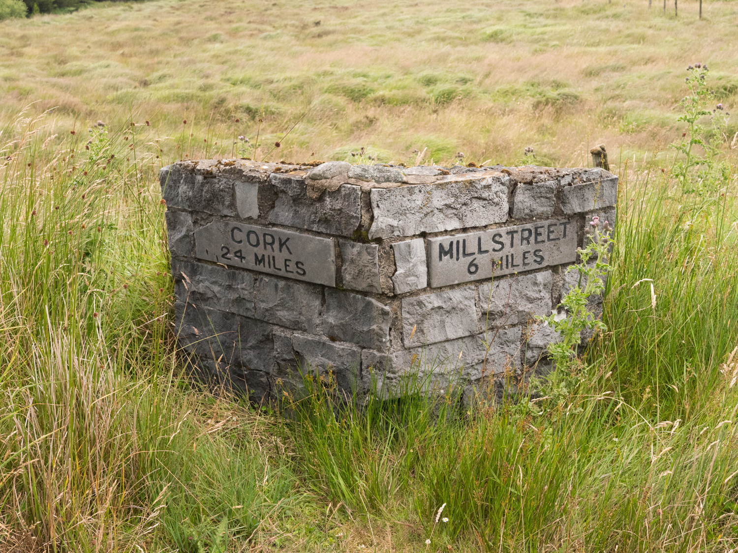
We made it to Millstreet, and booked a room in a hotel that I can't remember the name of. I do remember that it was a pub that had rooms above, so I wasn't really expecting anything much. And when I walked into the pub, it fit with my expectations, so my expectations of the rooms remained solidly around my ankles, with my waterlogged boots. But then I was brought through a side door, and up a nice stairs. About half way up that stairs, I felt like I went through some sort of portal that brought me to a 4 star hotel. The corridor was nice, and I started to be conscious of how much mud was stuck to me. The owner opened the door to the room, and it was incredible. A large bedroom with an also large en-suit bathroom (which had an actual bath!), everything in different shades of cream and fluffiness.
I took my boots off outside the door.
My boots are red leather boots, and they were so waterlogged that the dye was running everywhere. My socks were like sponges of pink paint. I took one step and dropped to my knees to take the weight off my feet so as not to ruin any more of the cosy carpet. Carl had to carry me to the bathroom.
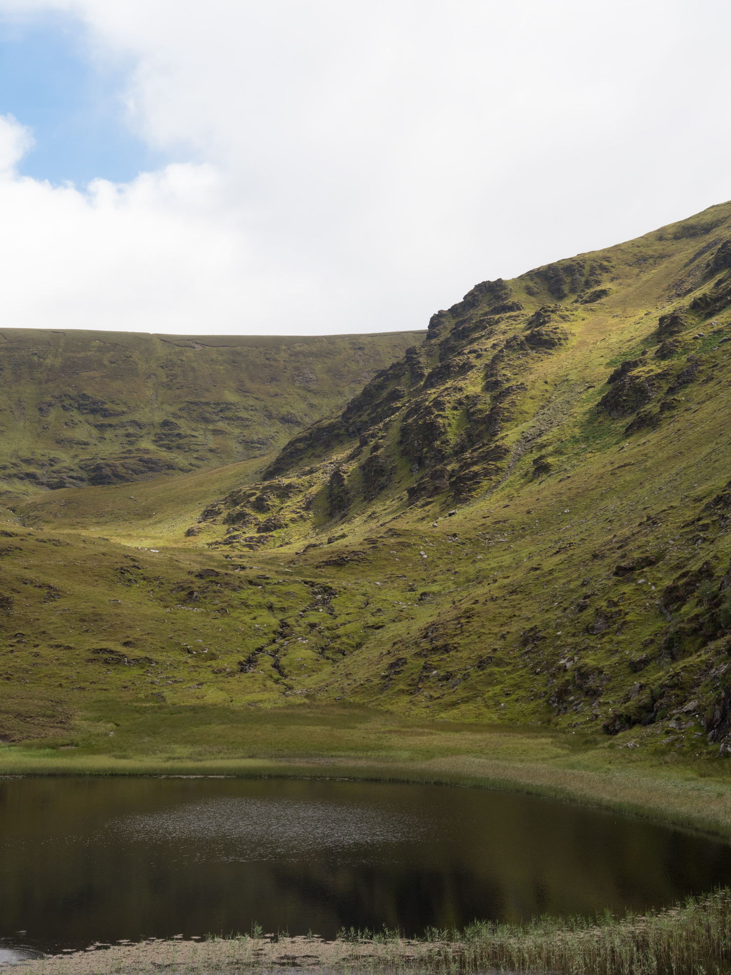
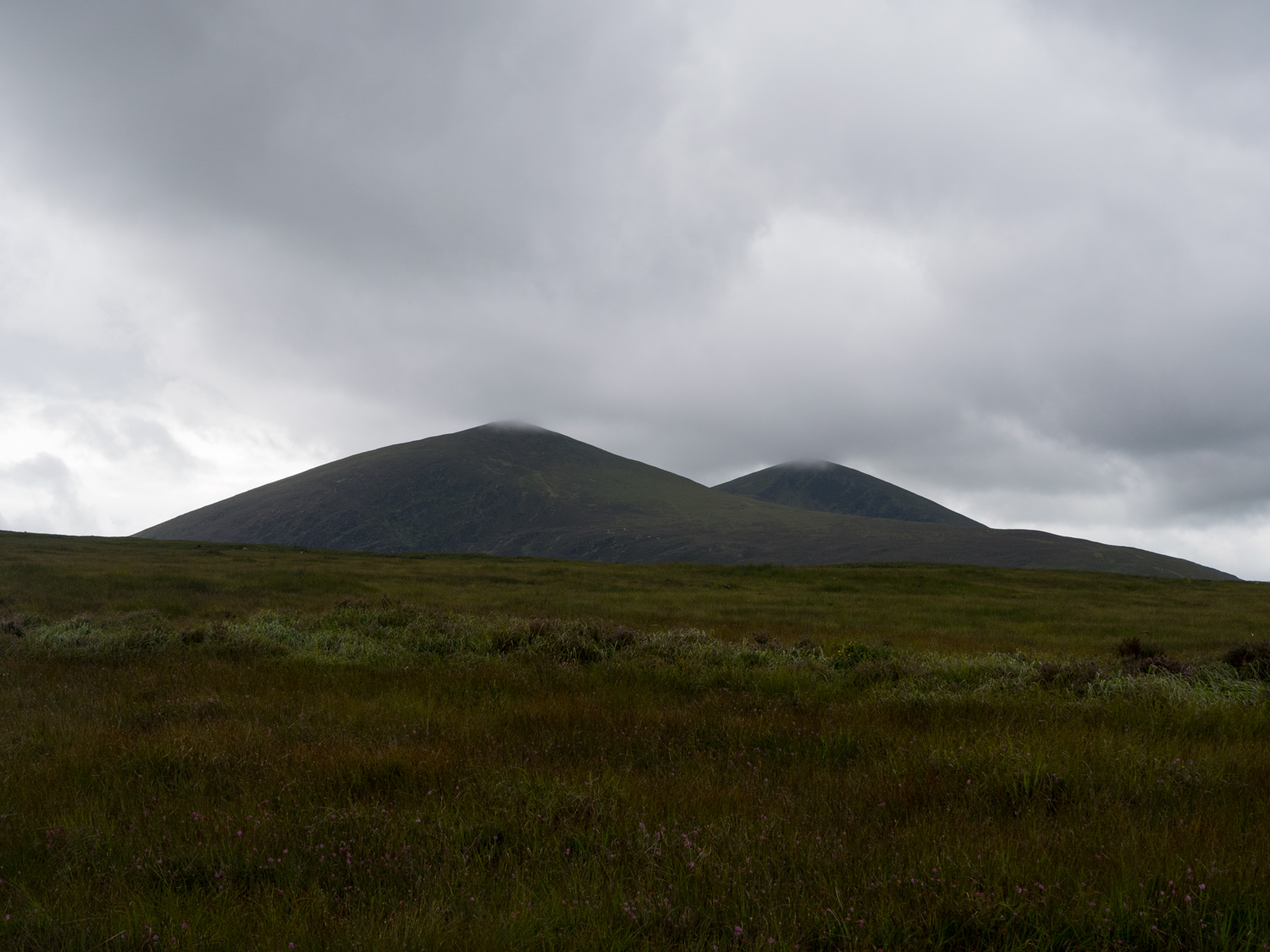
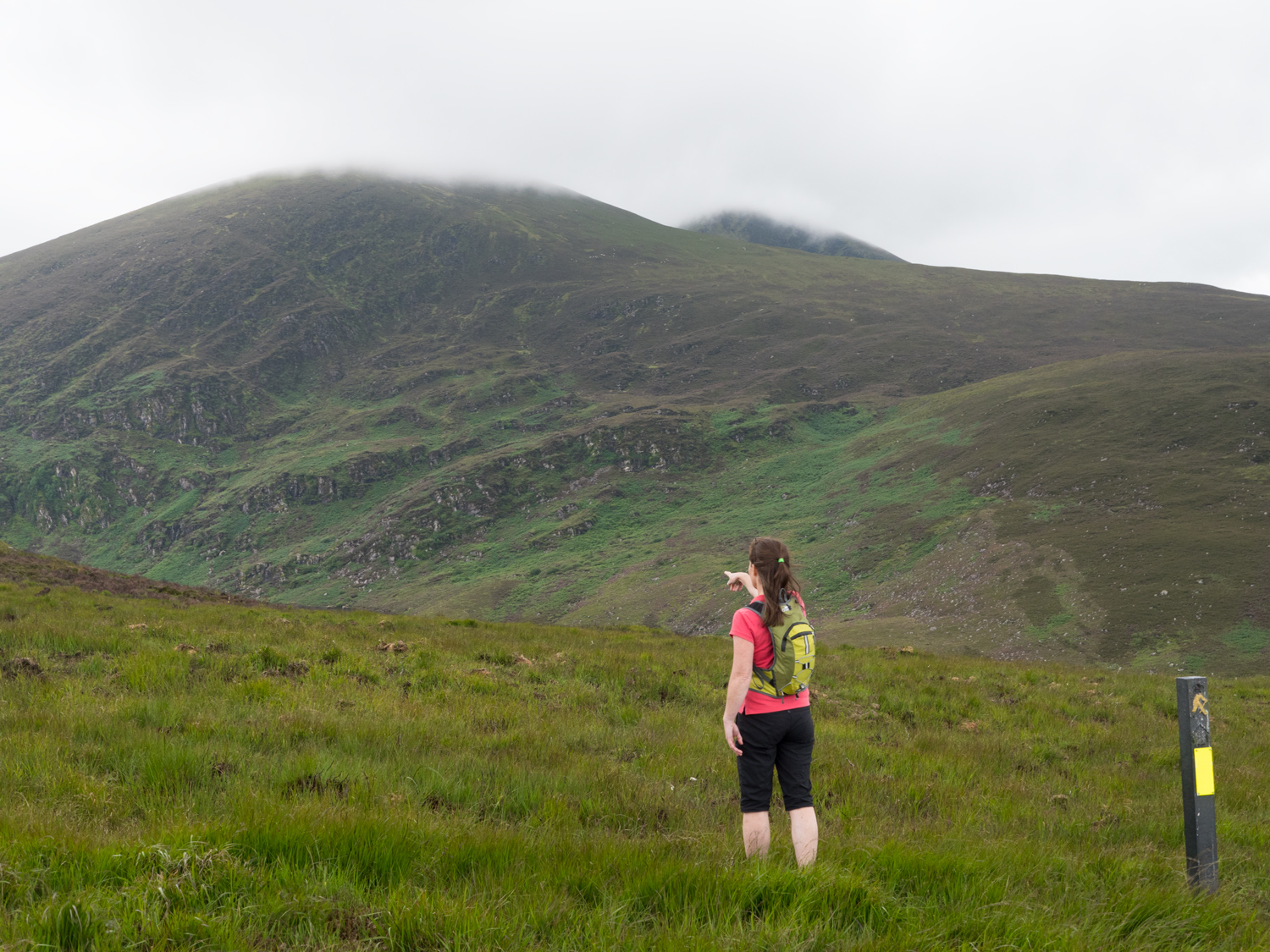
The next day was amazing. Really fantastic walking. It was completely off trail, across the Boggeragh Mountains. Of course, it hadn't stopped raining, but the walking and the views were so spectacular it didn't really matter any more. This section was very off trail, and very Moore-land-ish. We came to Lough Murtagh, a small lake hidden in a corner of the mountainside, and it was one of the most magical lakes I've come to. Continuing on, there was a descent to a valley floor that brought us down such a steep valley wall that I'm almost willing to call it a cliff. I'm not sure what came first, the trail down it or the stream, but they are both one now. Once down we forded a river, which meant that we were now officially in Kerry. We took a break while some sheep watched us.
Crossing some more untamed bog, and rising and falling through a couple more valleys, we met up with my sisters and my mother, who had started the trail from the end point and come out to meet us. It took us longer to meet than I had expected, and I had started imagining that they'd fallen down a bog hole and I'd never see my family again, or just been swept away in one of the ridiculously intense rain showers we'd had that day. This was a much wilder trail than I'd meant to bring them on.
But of course they were fine - and they hadn't experienced a single drop of rain. I'm still not sure I believe them, but they were dry. The walk to the end was fun as we raced over more mountain sides and came across horses and goats roaming where they liked.
I was very happy to see the end once we got there. My boots had not dried off at all the night before, and were once again acting like small swimming pools attached to my pickled feet. Sitting in the boot of my mum's car, I took boots and socks off. This time the dye had gone through my socks and into my skin. My feet were a kind of pink beetroot colour, with wrinkles that felt like they went 5 layers of skin deep. My feet remained that colour for over 2 weeks.
As a whole, the Blackwater Way offers an incredible variety. The Avondhu Way had fantastic forest walking along trails, and the Duhallow Way throws you into the wilds and wet. If there was the option, I'd finish the Avondhu Way in Mallow, and start the Duhallow Way in Milstreet, magically teleporting between the two. Or whatever your preferred mode of transport is.
The Duhallow Way video.
The Avondhu Way video.
We’ve made our own Tough Soles maps! These maps are free to use, remix, and redistribute under CC-BY 4.0. All you need to do is attribute us! Here are the Duhallow Way maps, and here are all the maps we’ve made.
If you like our blog you can subscribe to it here!
If you really like it, you can support us on Patreon
Update: February 2023
If you’re looking to get in contact with those involved with the trail, or need more information, email alannah.ocallaghan@irdduhallow.com