The Avondhu Way Overview:
Official length: 94km
What we walked: unknown
Trail difficulty: 2/5
Trail Quality: 4.5/5
Views/area: 4.5/5
Camping: Camping possible along areas of the trail, as well as B&Bs. Plenty of accommodation in Fermoy and Mallow.
Public transport: Buses available to Clogheen. Bweeng is fairly empty. Mallow and Fermoy have a lot of public transport options.
Maps: We have made our own maps! These maps are free to use, remix, and redistribute under CC-BY 4.0. All you need to do is attribute us! Here are the maps for the Avondhu Way, and here are all the maps we’ve made.
The Avondhu Way (also known as part one of the Blackwater Way) is a linear trail from Clogheen - Bweeng.
This is trail 16/42 in our project to walk every single National Waymarked Trail of Ireland. This was us from day 97 - 104.
Our first attempt on this trail didn't go so well - we got about 10km along the trail in lashing rain. Very very intense rain. We ended up calling it quits and decided to wait for another day. Instead that time we walked the East Munster Way.
This time was more successful.
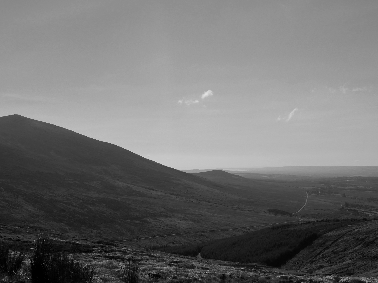
We started out once more in Clogheen, Co. Tipperary. We'd been to this small town so many times before - the Tipperary Heritage Way passed through heading north/south, and the East Munster and Avondhu Way connected here running east/west as part of the E8 walking route. Day one brought us along the same routes as before up to Bay Lough and through the Vee. The walking around here always feels like home as my family home isn't too far away, and I'd spent a lot of my summers following different forestry roads and trails.
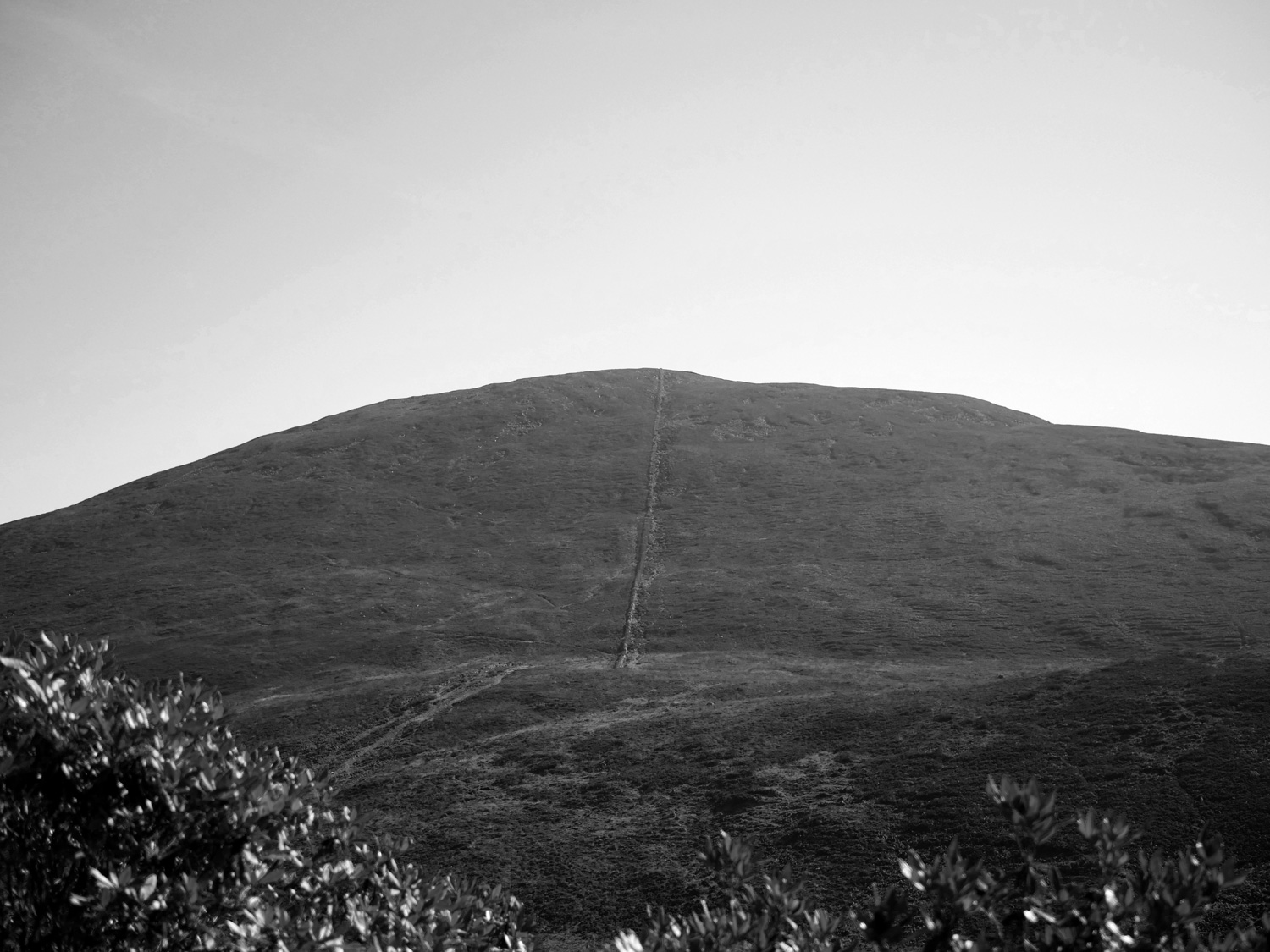
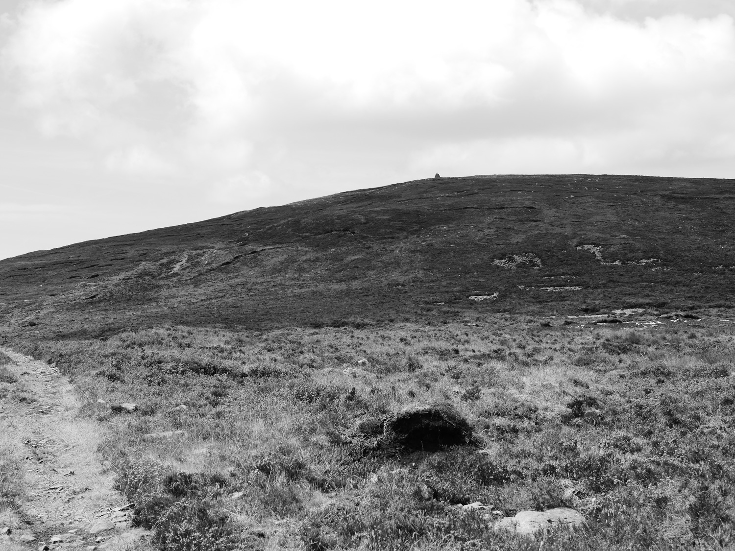
To start the trail we walked to Mountain Barracks across the back of the Knockmealdowns. The route quality was wonderful, with proper stage signs to give you an idea of what was coming next. Somehow with all my previous wandering I'd never made it onto the back of the mountains and younger me was definitely missing out. Although maybe not, some of those climbs were intense. Being summer when we walked this Way, we were lucky enough for the weather to actually act like summer and I got thoroughly sunburnt on my legs. This was possibly the worst sunburn I've got so far on this project.
From Mountain Barracks we headed off towards Fermoy. Stopped in Kilworth for coffee, and continued along the Way. We felt a bit sluggish when we made it to Fermoy and looked up the campsite that's listed for the town. It was very closed. And looked like it had been very closed for a few years now. So, that was the end of that plan. We sat and ate Supermacs, feeling sorry for ourselves. Then our bodies started to try and process all the bad salt and calories we had just consumed, and we got to feel even more sorry for ourselves and our bloated tummies. Eventually we got our feet moving in the right direction again and, ended up walking the whole way to outside Ballyhooly, where we set up camp an idillic forest.
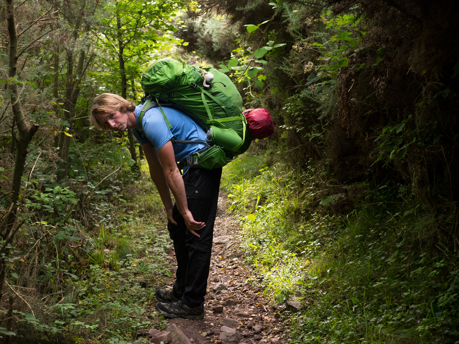
We say this a lot, but this was a really nice trail. For me (and I think for Carl) it's in our top 5 trails out of the 19 we've already done. It's the kind of trail where you can film an advert for walking trails - winding paths through tall trees and well signposted. it managed a nice balance of feeling like you're outside, enjoying nature, but also isn't overly remote and has towns at handy stages. It would probably be a good trail for someone who is looking to start doing multi day trails, as the walking is top quality without being too challenging.
Day 4 saw us walk from Ballyhooly to the far side of Killavullen. It wasnt quite as far as we had planned to go, but maps can be deceiving. Looking at the overview map, our walk that day looked feeble compare to what we had done the day before - from Mountain Barracks to Ballyhooly. It's hard to not let yourself slip into a completionist and comparing mindset, instead just enjoying where you are.
That evening, when trying to find somewhere to camp, we came across many ant nests, and eventually ended up with one of our worst tent pitches I've seen. The ground was too hard to stake anything in. And we were on a hill. As you can imagine, it was not a stellar night sleep. It was one of the worst nights of sleep.
The one benefit of bad campsites is that because you never really fall asleep, you are awake really early and can be packed up and walking by 7am. Which is exactly what we did.
The Avondhu Way has a small optional arm into Mallow town, which we happily took, and arrived into Mallow early lunch time. We found somewhere to stay indoors, excitedly dropped our bags, and went to the cheapest cinema I've ever been to. Spiderman was great.
After our extremely relaxing day in Mallow, we were excited to be able to officially finish the trail and move onto the Duhallow Way. For other people, I would strongly recommend finishing the trail in Mallow. The last section walking into Bweeng was just road, clearly there just to link the two trails together. The village of Bweeng we both found to be unwelcoming, so we found the plaque to mark the end of the Avondhu Way and moved onto it's sister trail, the Duhallow Way.
P.S. As mentioned above, this is part one of the Blackwater Way. If I remember right, only saw the river Blackwater once, when passing through Fermoy. Just an odd note!
We’ve made our own Tough Soles maps! These maps are free to use, remix, and redistribute under CC-BY 4.0. All you need to do is attribute us! Here are the Avondhu Way maps, and here are all the maps we’ve made.
If you like our blog you can subscribe to it here!
If you really like it, you can support us on Patreon