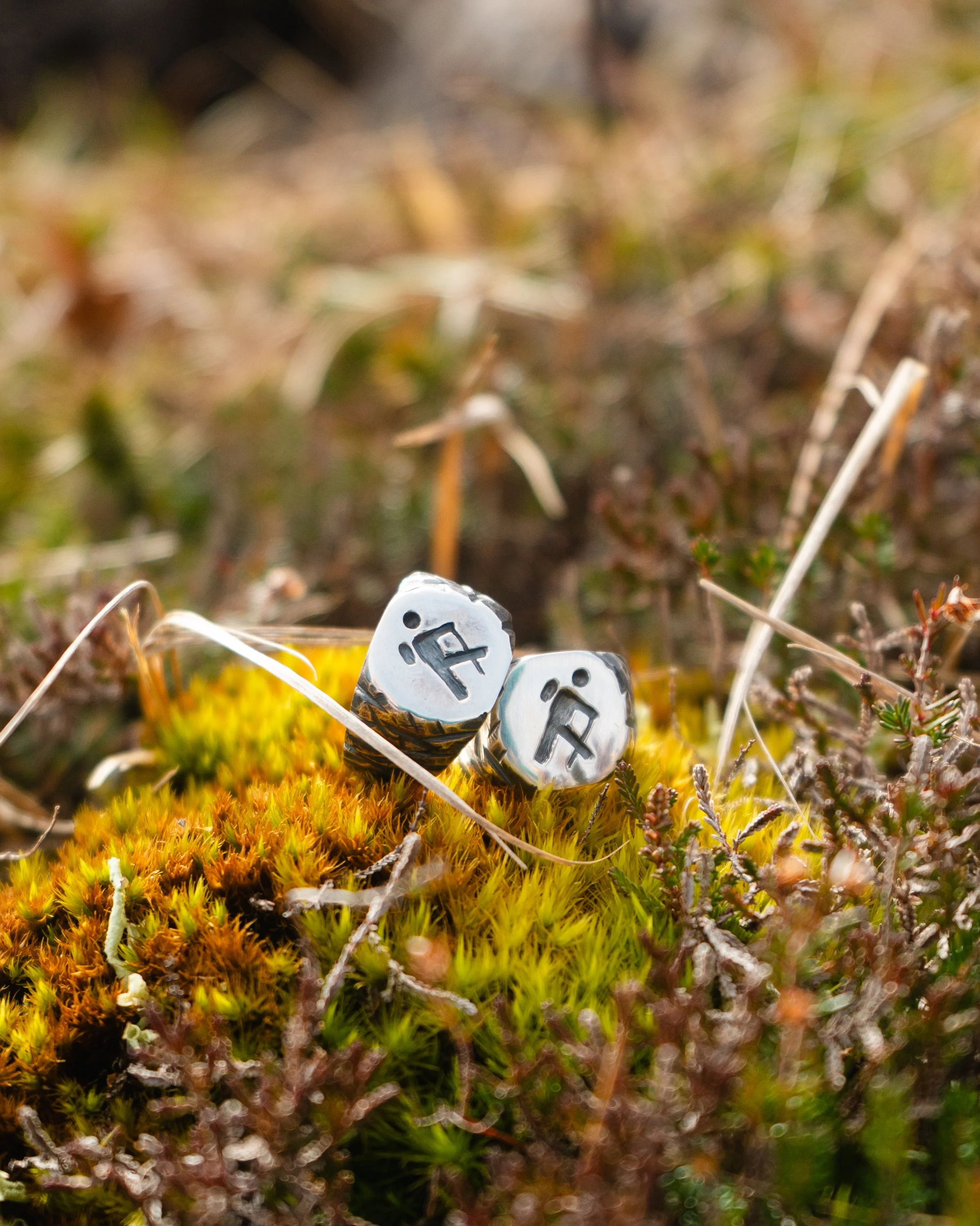
The Slí Signet, by Tough Soles & The Wandering Goldsmith
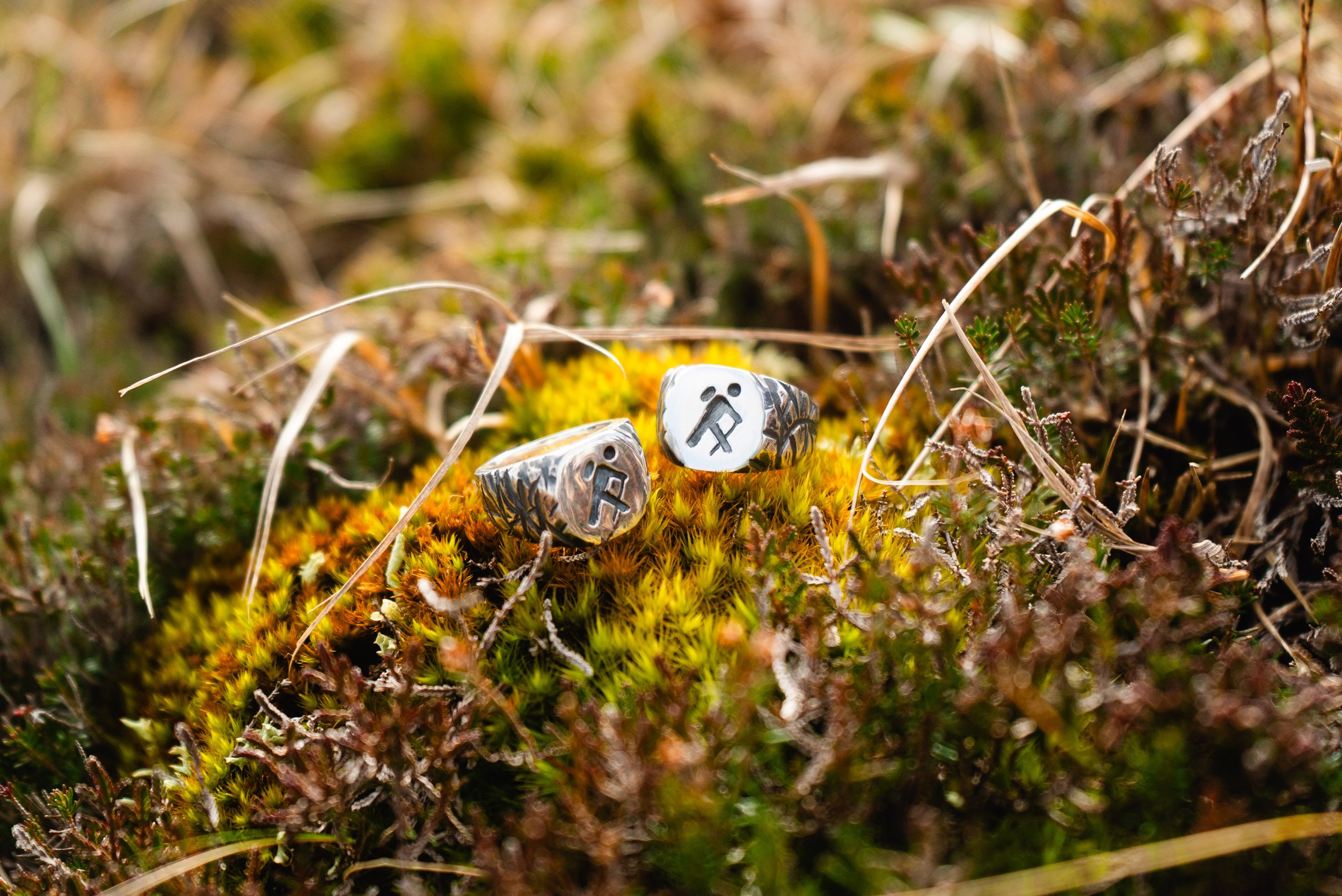
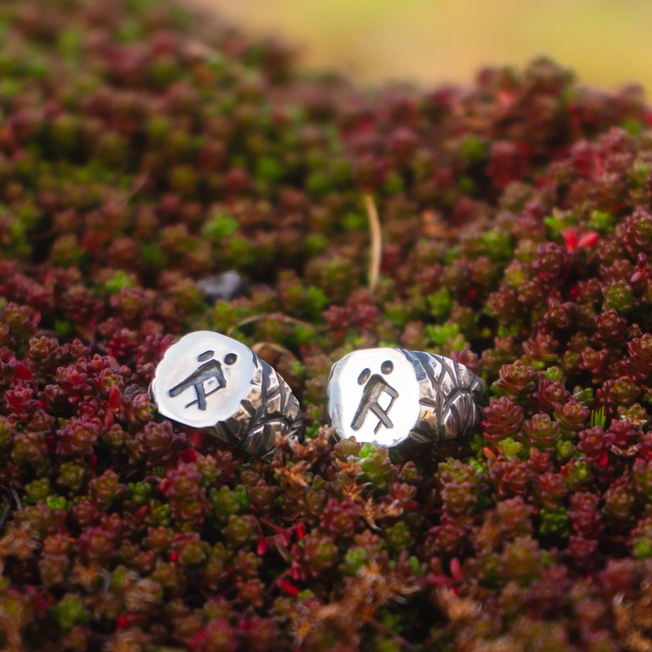
Inspired by Ireland’s National Waymarked Trails, the Slí Signet Ring is created for those who have fallen in love with the rugged beauty of the Irish landscape.
Designed in collaboration with Tough Soles, who have completed every single one of the national waymarked trails, the ring features the trail marker that has accompanied them along their 4,000km journey.
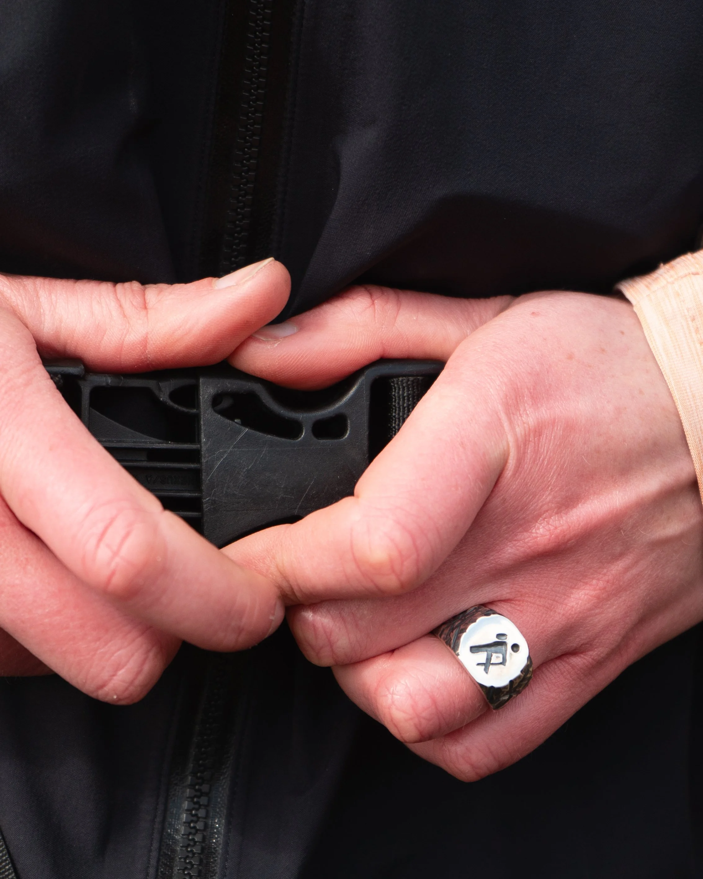
Each ring is handcrafted in Sterling Silver in my small workshop in Ireland. Created for hiking enthusiasts and travellers alike, its is a lasting symbol of miles walked, memories made and connection to Ireland’s beauty.
To pour back into the outdoor community, 10% of the profits from each sale are being donated to Mountain Rescue Ireland.
My dreams came true last year, when talking to Leika (The Wandering Goldsmith) and realising that she would be just as excited as me to make something together, inspired by Ireland’s incredible trails.
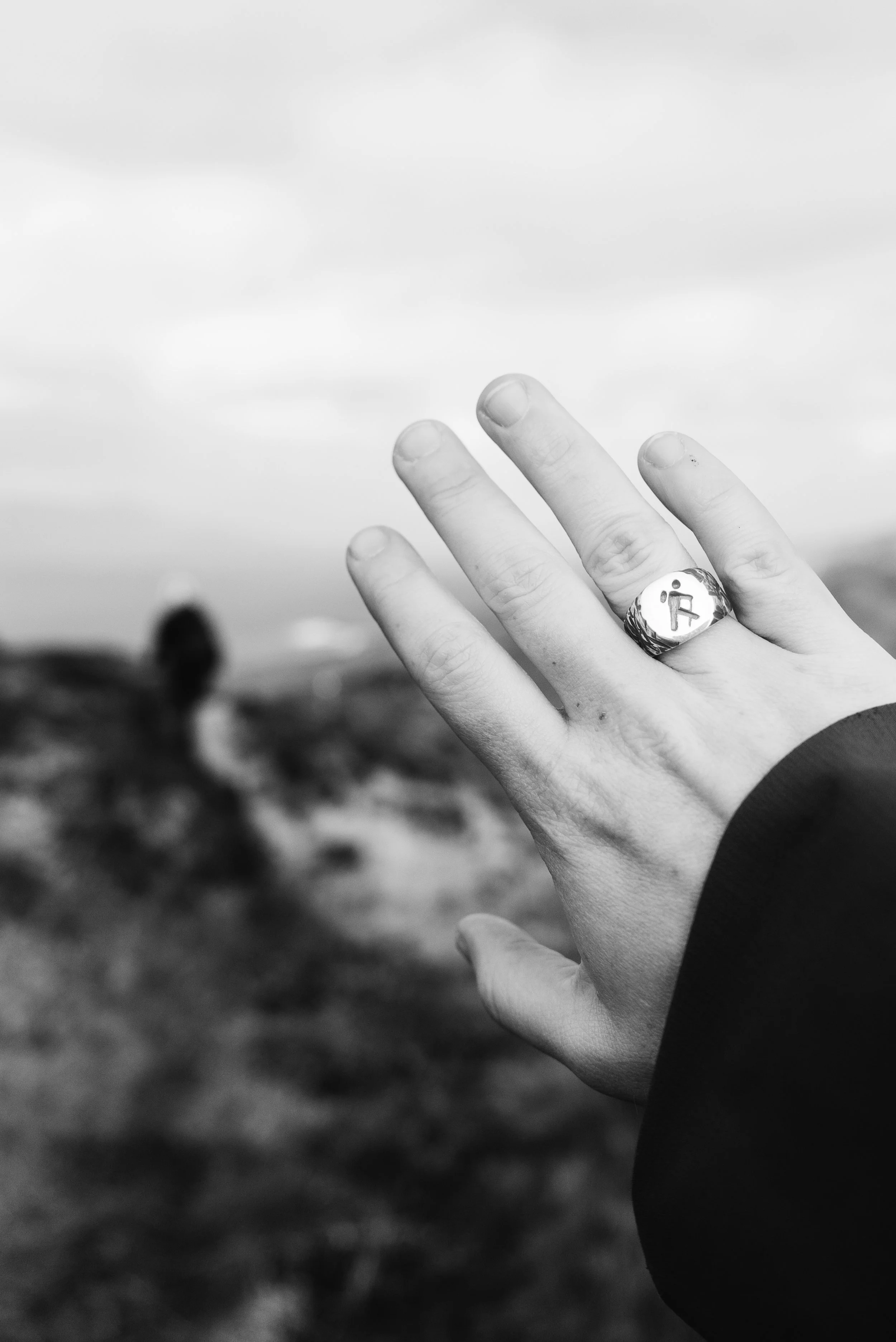
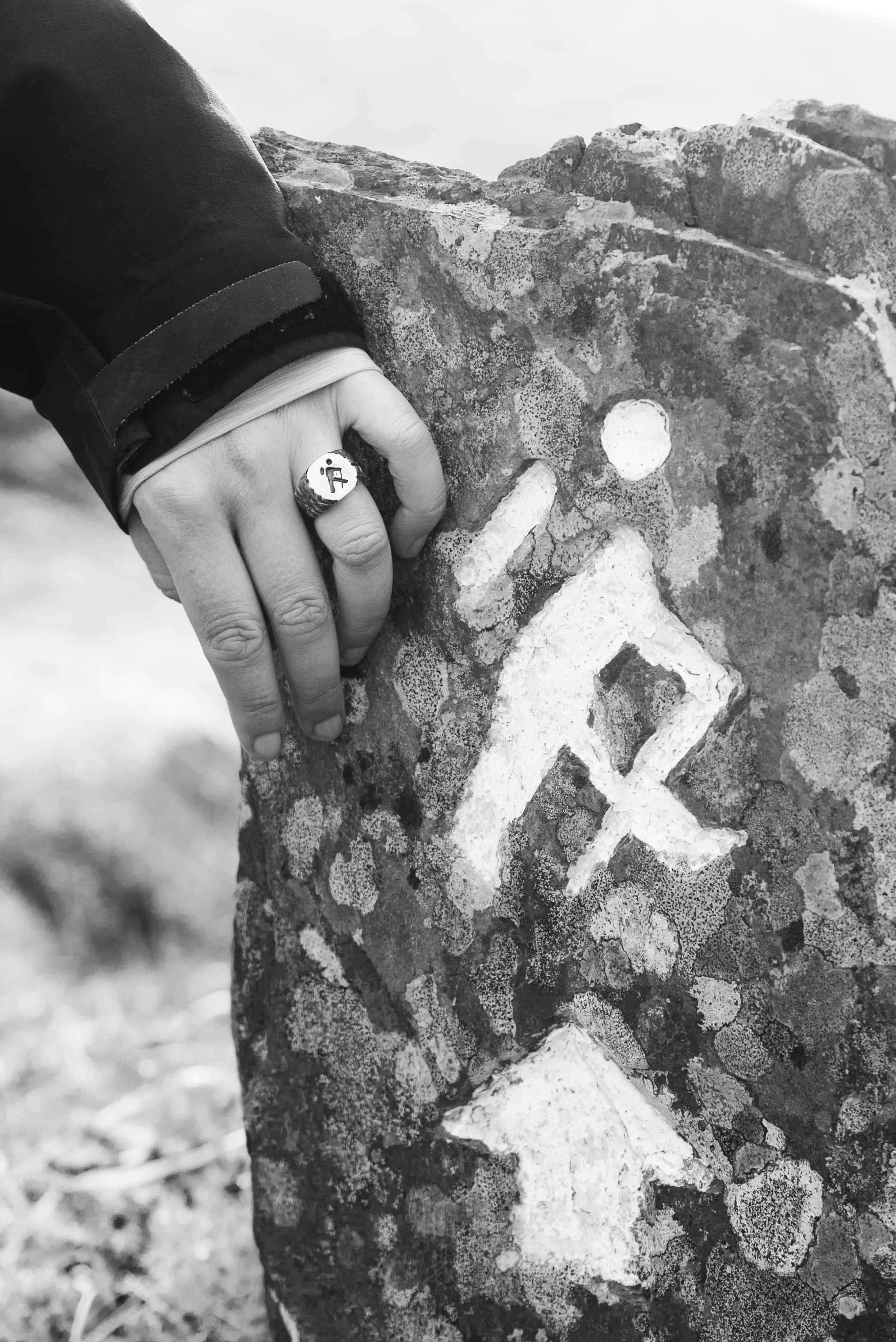
The Slí Signet is inspired by "Elvis" - long term readers may remember this nickname for the little man who way-marks all of our National Way-marked Trails. This was a collaborative design process, discussing different jewellery formats, what would suit a broad demographic, and me learning a lot about metal densities, quenching affects, and everything else Leika was able to explain to me.
I am so happy that we settled on a signet ring. Made of solid sterling silver, this ring feels durable and capable of accompanying me on many adventures into the future.
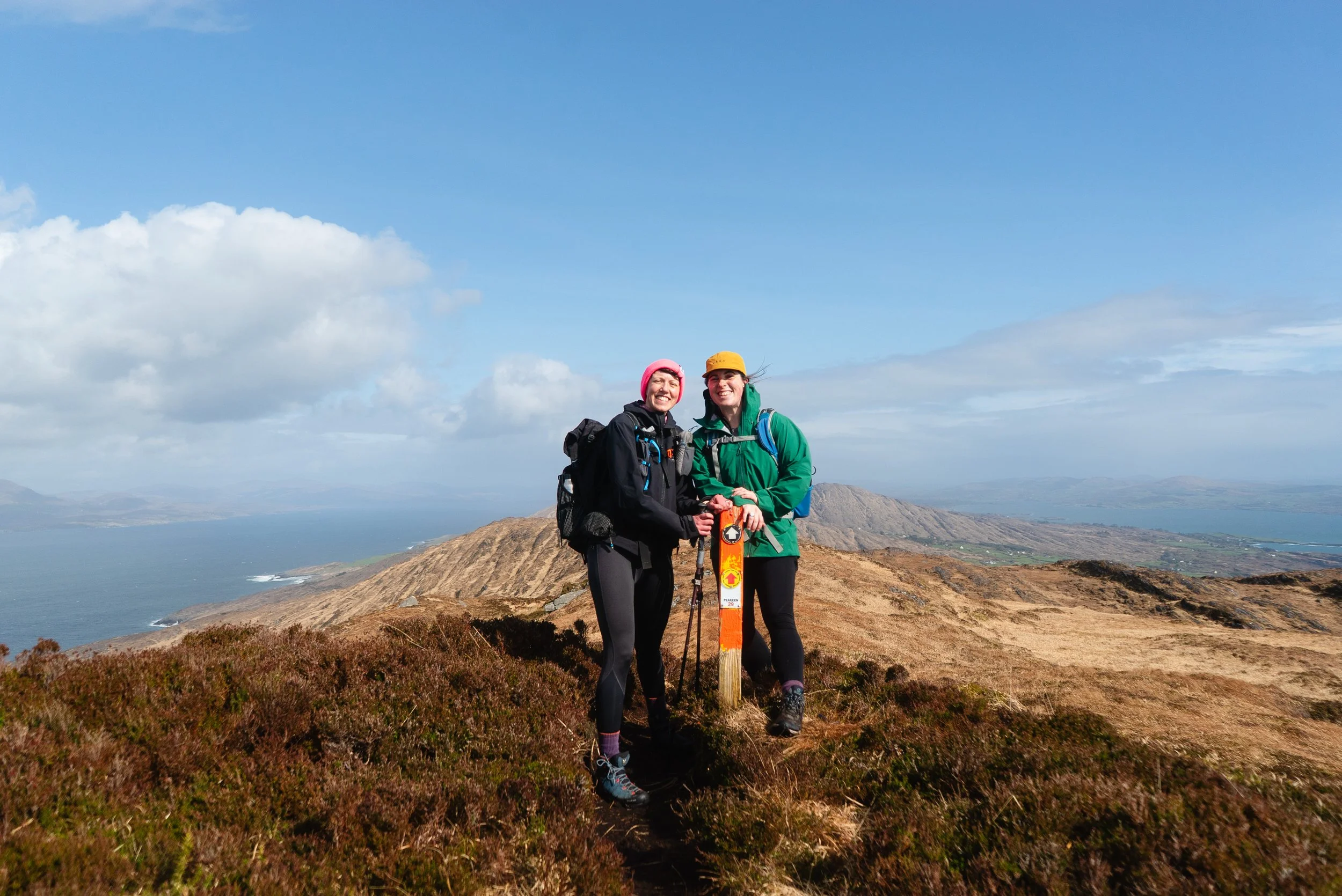
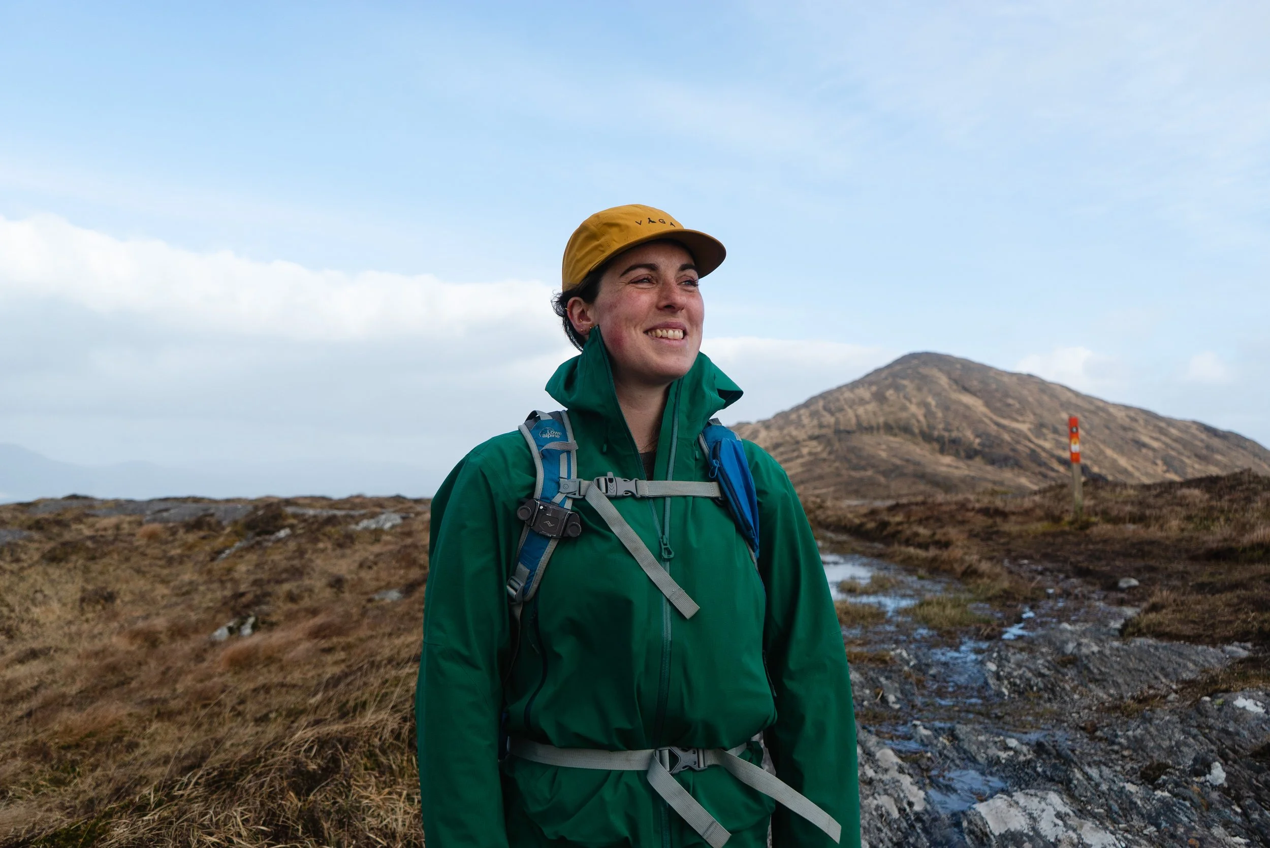
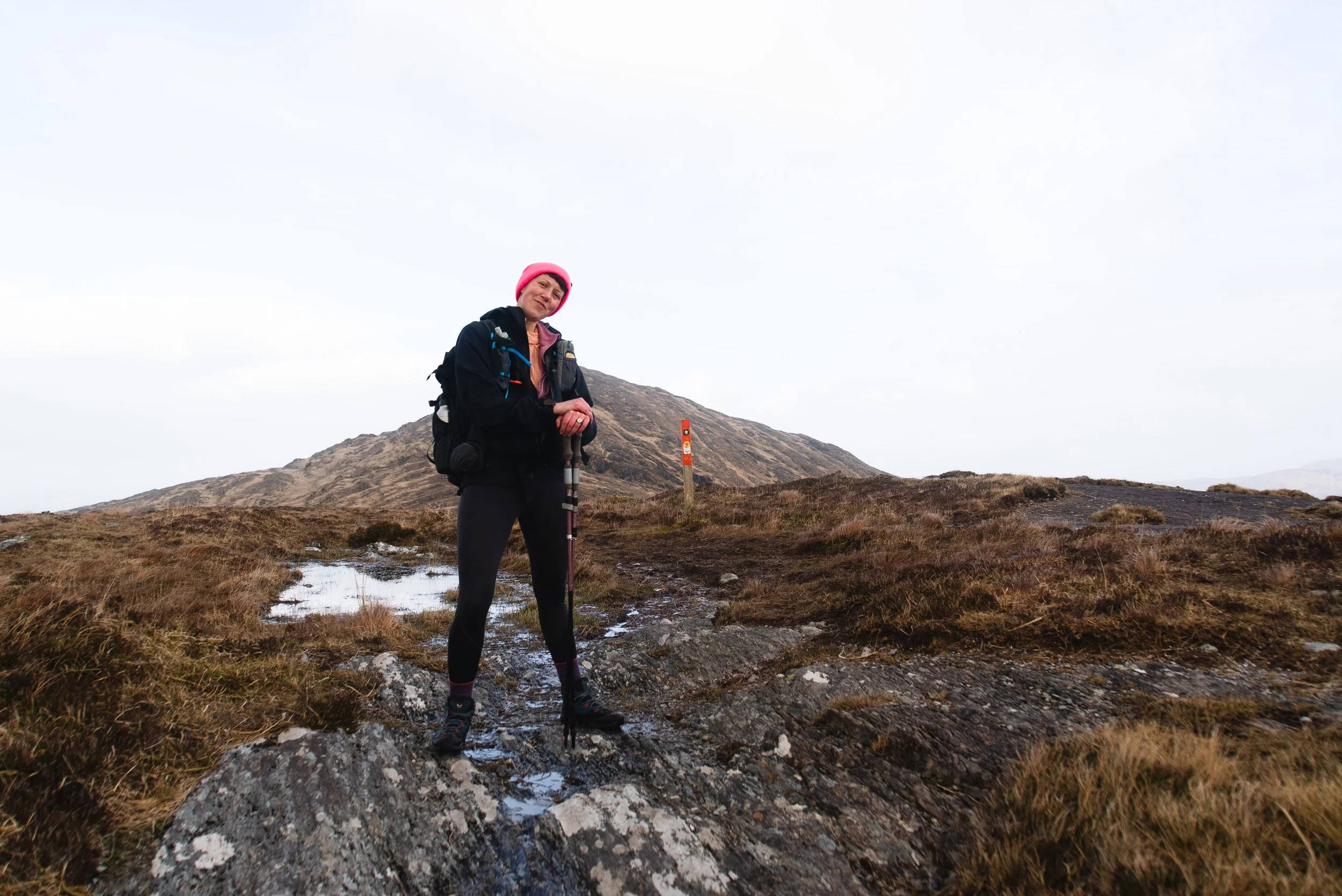
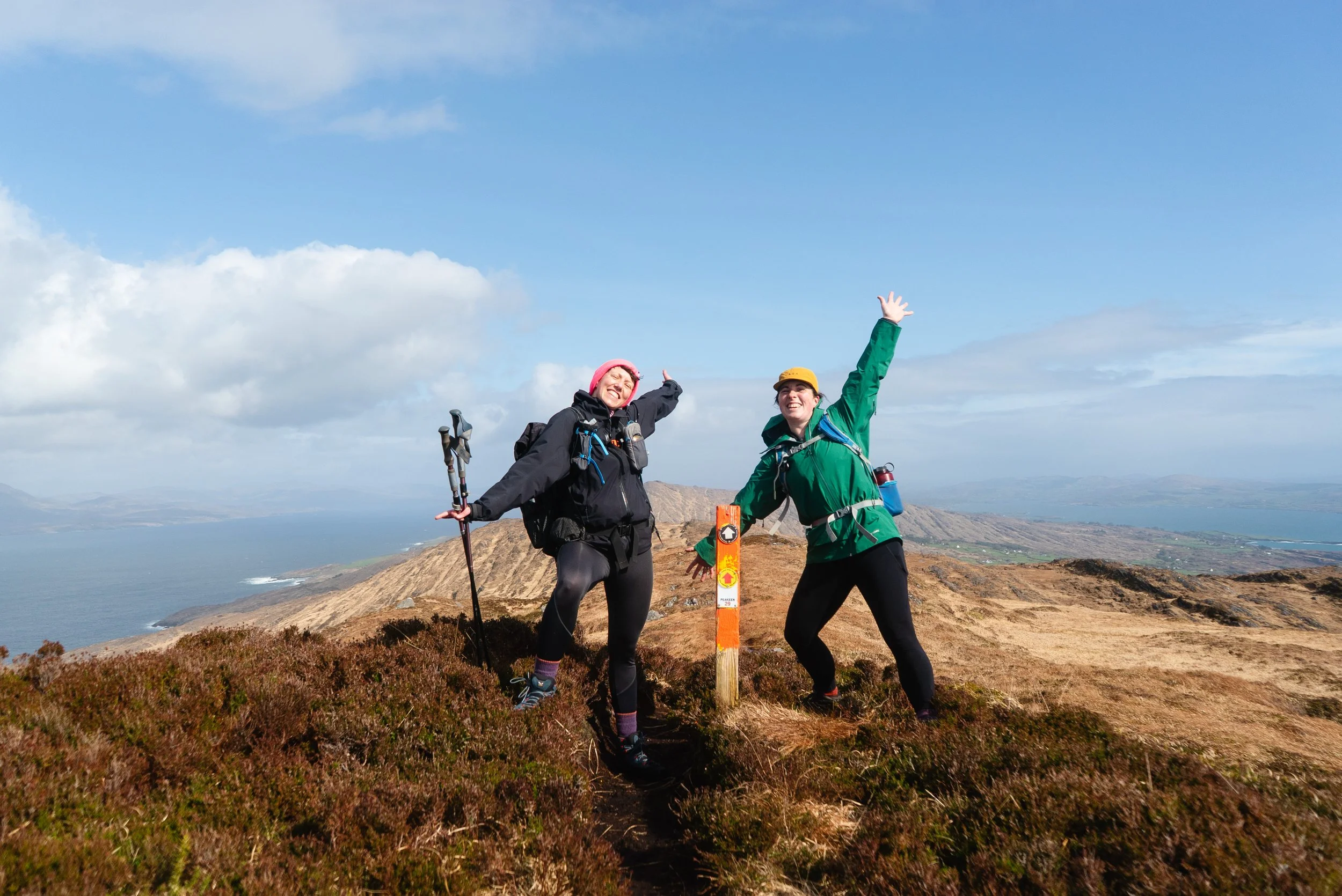
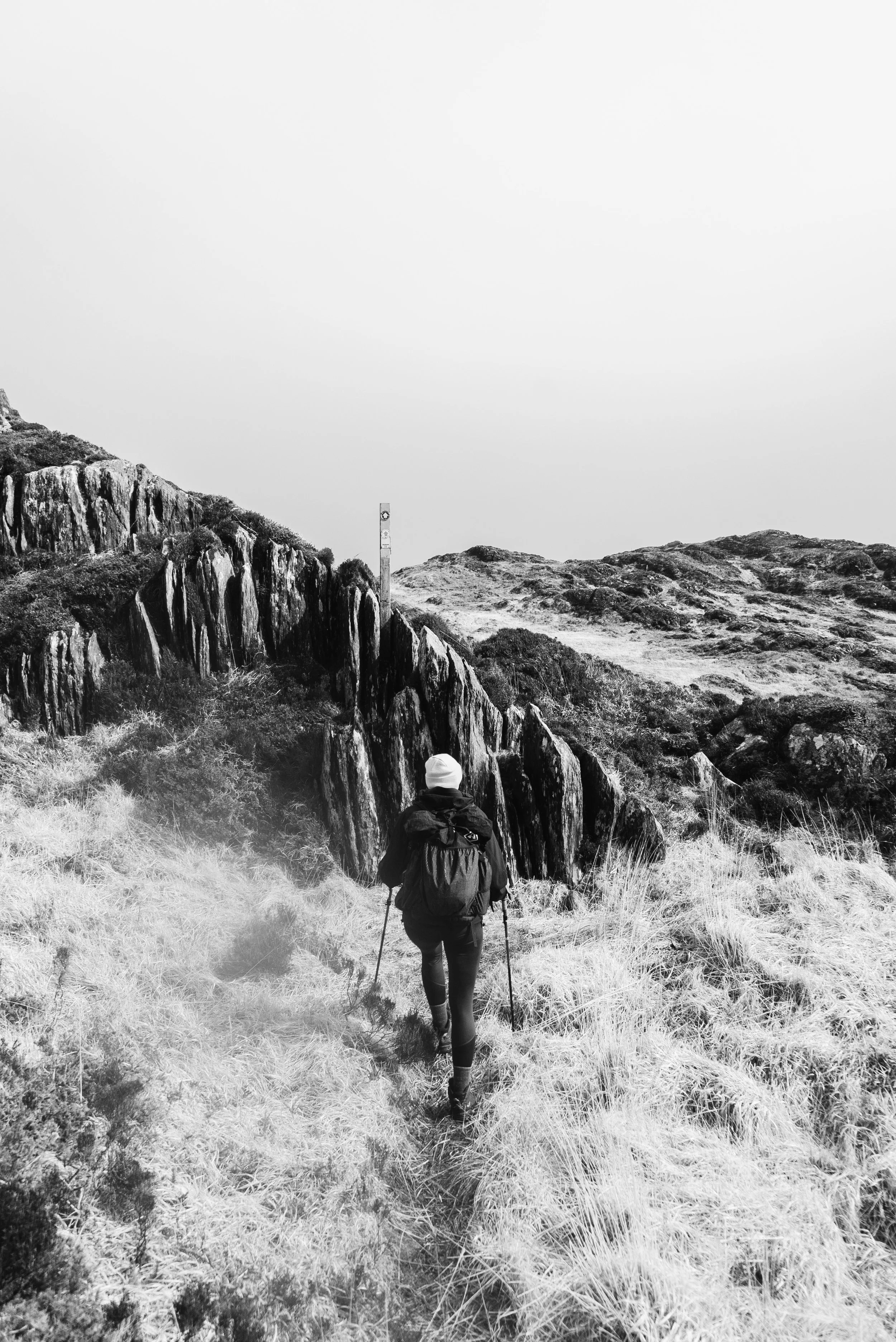
To celebrate our creation in person, we went and walked the Peakeen Ridge Loop on the Sheep’s Head Peninsula, a stunning 15km loop with many gorgeous hand-made waymarkers too.