Overview
County: Carlow - Kilkenny - Tipperary
Official length: 104km
What we walked: Close enough to 104km!
Start point: Carrick-on-Suir
End point: Kildavin
Trail difficulty: 2.5/5
Trail quality: 2.5/5
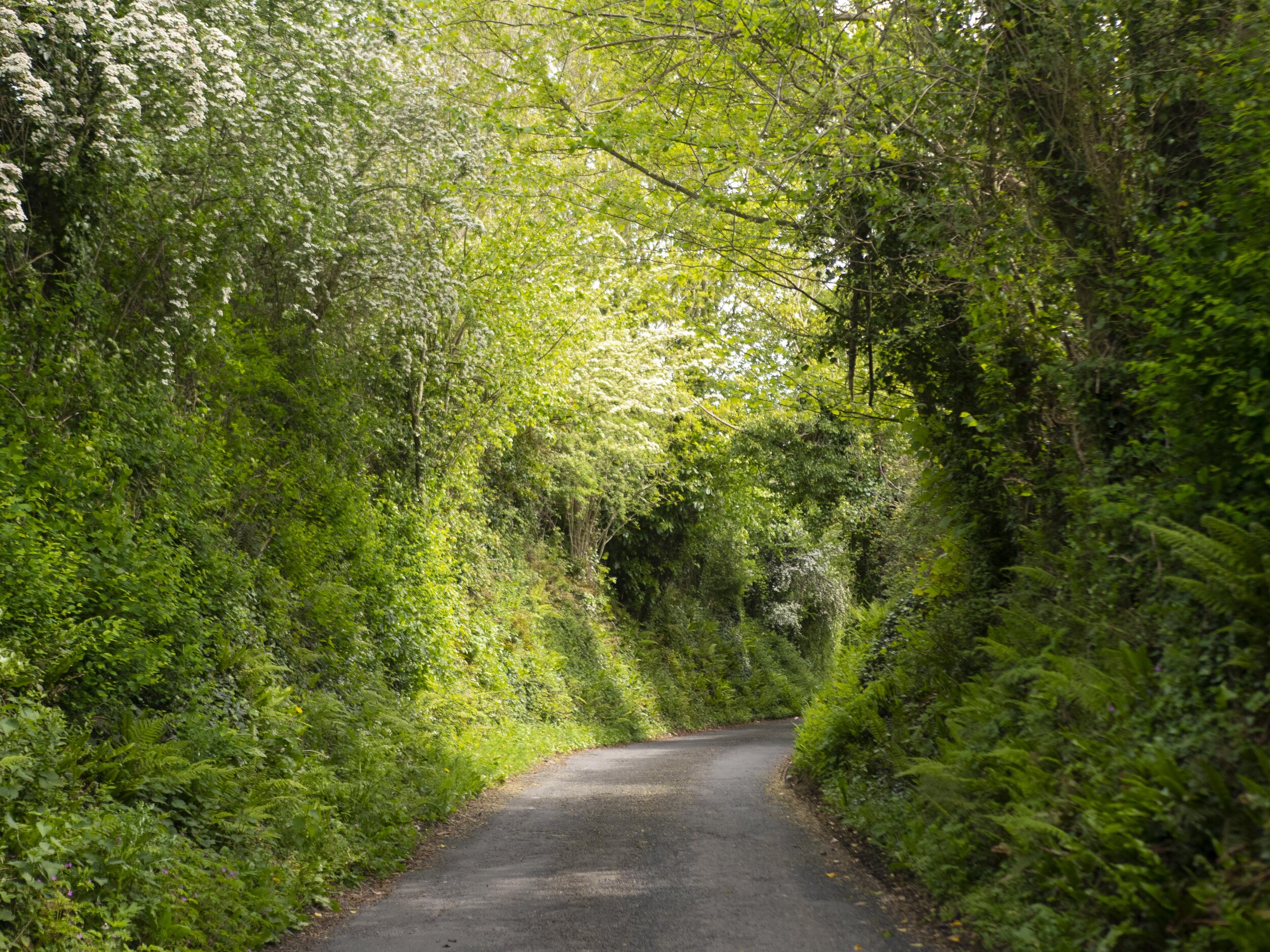
Most common walking surfaces: tramac roads, gravel logging forest roads and small dirt lanes.
Views/area: 4/5
Camping/accommodation: 3/5
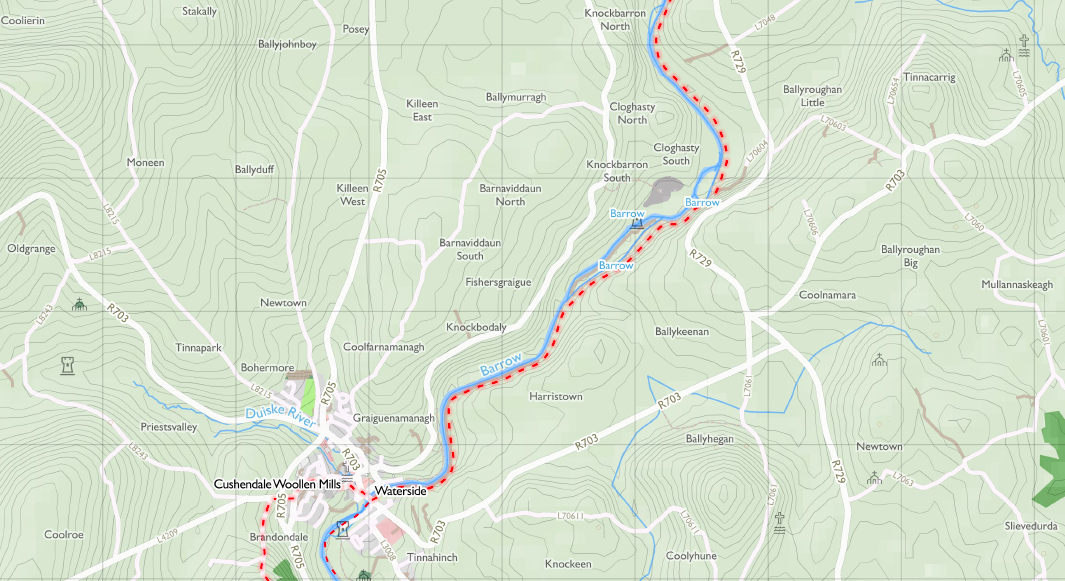
Maps: We’ve made our own Tough Soles maps! These maps are free to use, remix, and redistribute under CC-BY 4.0. All you need to do is attribute us! Here are the South Leinster Way maps, and here are all the maps we’ve made.
Trail days:
Day 1: Carrick-on-Suir - the far side of Mullinavat // 27km
Day 2: Mullinavat - Graiguenamanagh (Brandon Hill Camping) // 40km
Day 3: Graiguenamanagh - Nine Stones on the Shoulder of Mount Leinster // 25km
Day 4: Mount Leinster - Kildavin // 12km
The above distances are rough estimates from when we were walking
Day 1: Carrick-on-Suir - the far side of Mullinavat // 27km
The South Leinster Way has been on our list for a long time - which I know is technically true of all our trails, but the South Leinster Way is a bit different. It’s a trail that we’ve almost started on multiple occasions, but have run away to some other Way at the last moment. This is because it’s a pretty road-heavy trail, and no one ever really looks forward to 100km on road. But, as we slowly reached the end of our list it became a case of now or never. And so, relatively early on a Tuesday morning we found ourselves in Carrick-on-Suir, where we’d finished the East Munster Way almost two years before, to start the South Leinster Way.
Heading out of Carrick-on-Suir the trail is quite nice, following tiny back-roads that bring you down to a small footbridge over the river Lingaun. It’s a pretty crossing, and as we walk across the footbridge in the bright morning sunshine our spirits are surprisingly high. After this the trail crosses the N24 (a bit of a rapid dash when there’s a break in traffic), and then continues along small lanes. We pass through Piltown, taking a small detour to stop at the Centra for ice-cream and Mulligan’s pharmacy for sun cream.
We slowly plod our way along the roads - not yet feeling tired exactly, but whenever we checked how far we’d gone our pace seemed slower and slower. Near the top of a long hill, a man in a jeep pulls over to let us know that the view from around here is a multi-county viewpoint. Not long after, as we’re peering into a field to look for a standing stone, a little old lady walking her very energetic dog rounds the corner and tells us of a small woods just up ahead. We detour in, and are rewarded with a sea of bluebells. It’s a bit late in the bluebell season, but these ones have hung on that little extra while, and we sit beside a stream for a minute before moving on once more.
Later, still plodding down a similar road, we munch some breakfast bars as a large car stops beside us - it’s the same guy as earlier in the jeep! He’s just finished an errand, and in a jovial bluntness points out how slow we’re walking - “I expected to meet ye miles down the road, ye’re only crawling!” We laugh and pretend that we stopped for a long lunch. Now that we’re further along the trail there are new things to see ahead, and so he tells us about a waterfall that’s coming up - “there isn’t a sign, but there’s a gap in the hedge and just follow it down the whole way, it’s a great spot.”
We almost miss it, but I happen to glance down just as I step over an arrow spray painted on the road, with one simple word: Fall.
It’s a short descent, and what we arrived to was pure magic. When we arrived, Poulanassy Waterfall was all grassy banks and sunshine. It was one of those places you don’t actually expect to find in real life, yet here it was. We marveled at how beautiful it was (took too many photos), and tried to decide what to do. It was only 4pm, and as this wasn’t officially a campsite it was too early for us to just pitch up. We considered hanging around, but waiting the five or six hours until we’d be comfortable putting the tent up just didn’t seem appealing either - the distance hiker curse is to always be aware of the progress you could be making while you’re lounging about.
On the road again, we reached Mullinavat. We stopped and got our usual pub food (soup of the day, every day) and then began to mosey on out of town. As we left Carl asked if I’d checked airbnb for any listings in the area recently. I checked, and up popped a place that had a camino shell on the side of the building. Clearly, this was a sign! Walkers must stop there! So we clicked a button, and suddenly we had somewhere to stay that night - all the while repeating that the camino shell was definitely a sign to stay in doors and have a shower.
Day 2: Mullinavat - Graiguenamanagh (Brandon Hill Camping) // 40km
The next morning we made coffee and praised our past selves for giving us this beautiful luxury. It’s the little things that get you through the days.
The trail started off nice as we wound through some woods along old logging roads. Our end goal for day two was a bit of a tricky one. Way back towards the start of the Tough Soles project when we were only a couple of trails in, we realised two things: campsites in Ireland are highly valuable things; however, they are few and far between for walkers. We’d decided that we were going to try and stay at every campsite we could, to both support these wonderful places, and have a cheap nights sleep for us. Quite a bit down the trail a new campsite had opened - Brandon Hill Camping. We knew that it was a bit too far to get to today, but also knew that it would then be too close to finish at the day after. During breakfast we’d started to calculate the exact distance to the campsite, but then quickly stopped as we saw the numbers climb too high. What if we just picked it as our end point for the day, and pretended distance didn’t exist?
While we were on lanes and roads for most of the day, many of them were so old and infrequently used that they would turn into dirt tracks for stretches. Our half way point for the day was Inistioge. It’s a small town that we had walked to before when on the Nore Valley Way and roughly 22km from where we started that morning. All the hard surface walking of this trail was starting to take a toll on our soles, and as we turned into Woodstock Forest my feet were burning. The trail zig-zags back and forth for almost 7 kilometers as it descends to the River Nore valley floor. It was a beautiful stretch of trail, but we were slightly relieved to make it into Inistioge and be able to take our boots off for a while. We stopped at one of the many pubs and watched as tour buses pulled up, unloaded 30 tourists for 30 minutes, only to load up and roll out again. Inistioge is a very beautiful town, with pretty churches and overflowing flower baskets. Watching all the tourists having crisp, cold alcoholic drinks, made our throats run dry, and after a few minutes of deliberation we too bought a cold pint and let our feet breathe. The weather all day had been beautiful, but it meant that our waterproof boots had been overheating.
From Inistioge to Graiguenamanagh was a further 18km. Leaving Inistioge there is immediately a sharp uphill climb. For about 3.5km we pushed through the heat and the steepness of the road, puffing and panting our way along. The small back road after those few kilometers promptly turn into dirt roads, and we spend the next few hours walking up into the hills on these dirt tracks, meeting only one or two farmers in pickups slowly moving over the bumpy ground. At this point the soles of our feet were burning, and the descent to Graiguenamanagh was hard - if you don’t do a lot of walking, I’m here to let you know that the downhill is actually harder than the uphill - the skin on your soles move as you foot slides towards the front of your boot with each downwards step, and anyone who has felt this pain before is curling their toes while reading this.
It was late when our decent brought us back down to tarmac-ed roads, and there was a moment when I was worried we would have to run from some farm dogs. Thankfully, some winching and fast walking sufficed.
We arrived into Brandon Hill Camping just in time to see the sky painted reds and pinks for a beautiful sunset/twilight. Ken was kind enough to give us one of the pods for the night, so we got to drop our bags, peel off the stinking socks, and sit outside the little pod enjoying the exhaustion that only comes after a really intense day. Bone weary, hobbling on sore toes, but also happy to be outside. Too tired to move any further, we split a fruitcake for dinner.
Day 3: Graiguenamanagh - Nine Stones on the Shoulder of Mount Leinster // 25km
We got up slowly the next day, the long distance of the day before still hanging over us. We said our goodbyes to the campsite and walked down into the village of Graiguenamanagh for Breakfast. Munching on some pastry pies we made our way onto the banks of the Barrow. This is our second time walking this stretch of river - our previous trip was when walking the Barrow Way. The Barrow is a beautiful river to walk, and we were excited to be back beside it. So much of the trail along the river is just grass, and because it’s so natural there is always a feeling of being surrounded by nature. It took us a bit over 13km to get to the next town, Borris. Still feeling very tired, we stopped into The Step Hotel for lunch. We were completely under-dressed and over-smelly for such a place, but the staff were lovely and let us sit out on their patio with our bags.
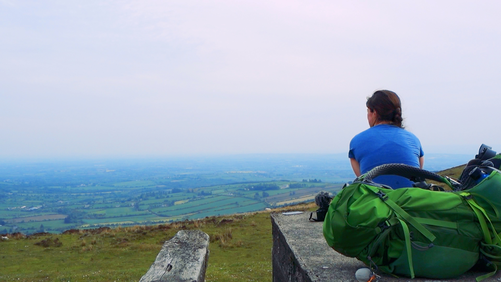
After Borris we were back on small tarmac roads as we approached Mount Leinster and the Nine Stones. Ideally, we were wondering if we could pull another super long day and make it to the end. But a few kilometers out of Borris I knew that my feet were not prepared for such ideas. As we started along the long, slow uphill onto the shoulder of Mount Brandon I knew we weren’t getting much further. Thankfully, we knew someone in the area, and decided to send them a text.
Our Little Hiker is the creation of Gina and Paul, where they share their outdoor adventures that they go one with their very small children - including climbing Ireland’s County High points (29/32 at time of writing) all with their baby girl in the backpack (and some with a second tot in the womb!). We had come across their amazing adventures on Instagram, and then got to meet Gina at the Irish Adventurer Awards earlier in the year. Long story short, they agreed to come and collect us from the side of the mountain and let us stay with them that night. It was a wonderful evening of talking about “The MOUNTAINS!” with the smallest, most enthusiastic adventurer I’ve met (do not come between that little hiker and the outdoors), and then the next morning they dropped us back up to the Nine Stones so that we could stroll to our finish line.
Day 4: Mount Leinster - Kildavin // 12km
Only a few kilometers to go, and we were excited to finish. It was mostly Coillte forestry tracks that morning, and nearly all downhill. There was one scary road crossing of the N80, and then we were in Kildavin. Miraculously, there was a pub open! Deciding that it was still too early for a finish line pint, we collapsed with some coffees.
This had been a trail that we put off for a long time, and there is reason. There is a lot of road/hard surface walking, and if you’re interested in open mountainside hiking this is probably not the trail for you. However, there were incredible moments, and we met so many people who were lovely to us. The river crossing outside of Carrick-on-Suir was pretty, and then the waterfall later that same day was spectacular. For us, it was the things around this trail that made it enjoyable, as opposed to the trail itself. Staying in Brandon Hill Camping and looking out over the valley below; staying with Gina and Paul and getting to share so many adventure stories back and forth; these are the kinds of things that can make four unremarkable days magical, and I am so grateful that these meetings and moments happened.
Only 5 trails left.
If you like our blog you can subscribe to it here!
If you really like it, you can support us on Patreon


