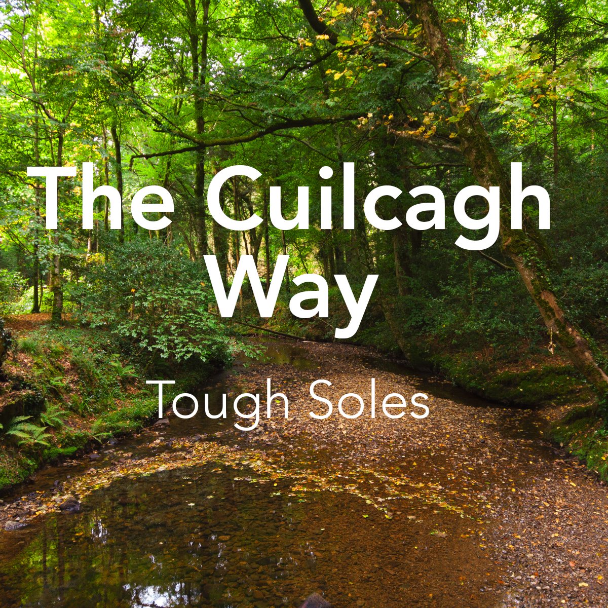
The Cuilcagh Way is our first section of the Ulster Way. We walked this trail over two days, covering 37km. Starting in the Claddagh Glen, we walked the trail clockwise from the Marble Arch Caves around through Florencecourt and over Cuilcagh the mountain.
Overview
County: Fermanagh, Cavan.
What we walked: 37km
Start point: Cladagh Glen (looped trail)
Trail difficulty: 4/5 - weather dependent as it crosses so much bog
Trail quality: 4/5
Most common walking surfaces: Open hillside, mostly bogland. Forest trails around Florencecourt, beautiful easy river walk through the Cladagh Glen. Almost no road walking!
Views/area: 4/5
Camping/accommodation: We walked the Cuilcagh Way in what we would typically consider at the end of Ireland’s thru-hiking season, and the ground was quite wet. A lot of what we walked was bog, or land that was close to being bog. I think camping would have been possible, but it would have been a little bit tricky to find somewhere.
We stayed indoors in a B&B in Florencecourt, roughly 1km off the trail.Maps: Our maps of the Cuilcagh Way and Ulster Way are still under development!
When we walked it: 22nd - 23rd Sept 2021
Climbing into the car at lunch time, Carl laughed at my serious expression. “Did you really think that, after all this time, we’d start getting early mornings right?” I had to ruefully smile at that - if anything was becoming a trademark of our walking, it was late starts and coffee.
Preparing for this trail was more stressful than I expected. The last time we’d done a multi-day hike was 2019 - and so while I was still well able to put together all the gear we needed on autopilot (thanks to the years of hiking behind us), once I was standing in front of everything on the living room floor, my mind started to worry and over think: “it’s been so long since you were last out, are you really sure this is all you need?”
One element adding to my nerves was that this was my first Tough Soles Trail™ as vegan/plant based. I’d been thinking about this change for many years, and finally had the guts to make the transition in the months after we finished the Wicklow Way. This means that I have two years of food experimenting and perfecting behind me, there was nothing to be afraid of. When looking at the maps for this trail (maps we found made by others online, google maps, whatever we could find for planning), I noticed how there were going to be no shops along the way - which isn’t a big deal, we’ve gone longer than 37km without options to buy food before. If anything, this made it easier as I could plan and pack all our food for the two days. As I stomped around our living space, moving food from one pile to another I could feel Carl shooting questioning looks at me. My diet change has only effected Carl in as much as the food we cook communally is now vegan. The mild food panic I was feeling as I stared at it all, wondering if it was enough, gave me flashbacks to when I was first changing my eating habits, and the stress I would sometimes feel walking into the supermarket. I quickly learnt to stop focusing on what I couldn’t buy, and make lists of what I could. Now it was time to do the same for trail food. It was only in that moment that I realised how little work we had put into our food planning before - although even if I hadn’t changed my diet, I don’t think I can ever look at a fruitcake again.
Food aside, we packed light - Carl using a 26L day bag, and I used a 35+L bag that only looked full from my un-squished layers.
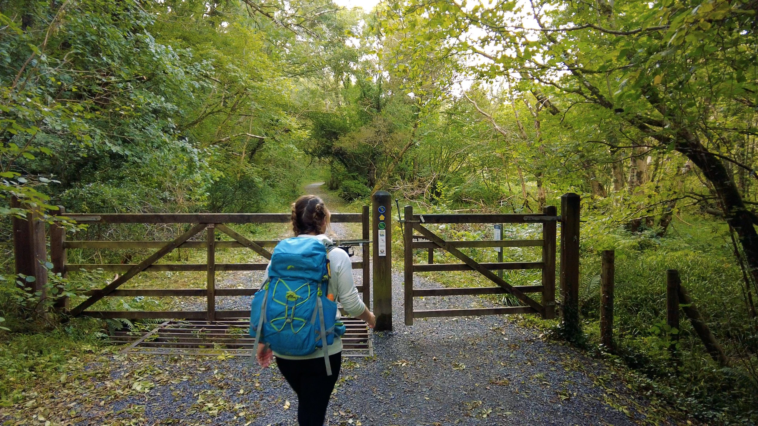
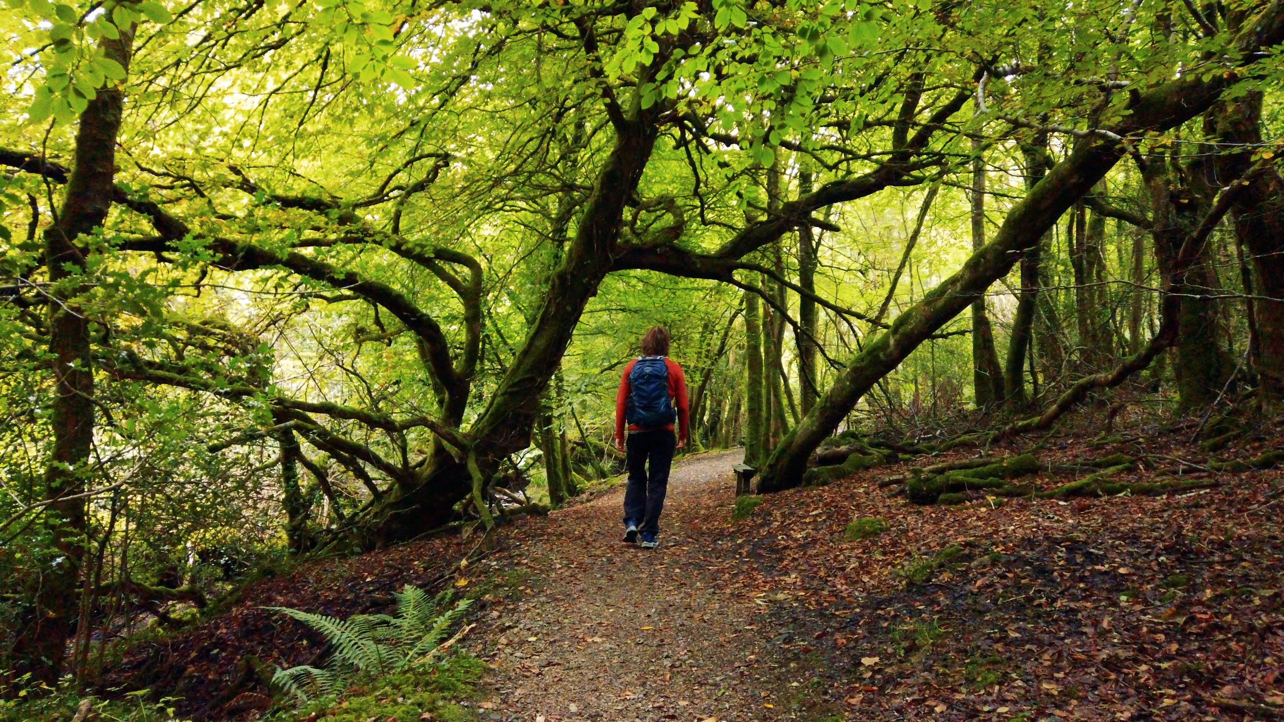
The biggest route choice we had to make was where to start - did we want to park in Blacklion and walk 5km out along the road, or start in the Claddagh Glen and be off road for the whole trip? Having walked a lot of road in our time, we chose the Cladagh Glen. And, let me tell you, what an amazing place to start!
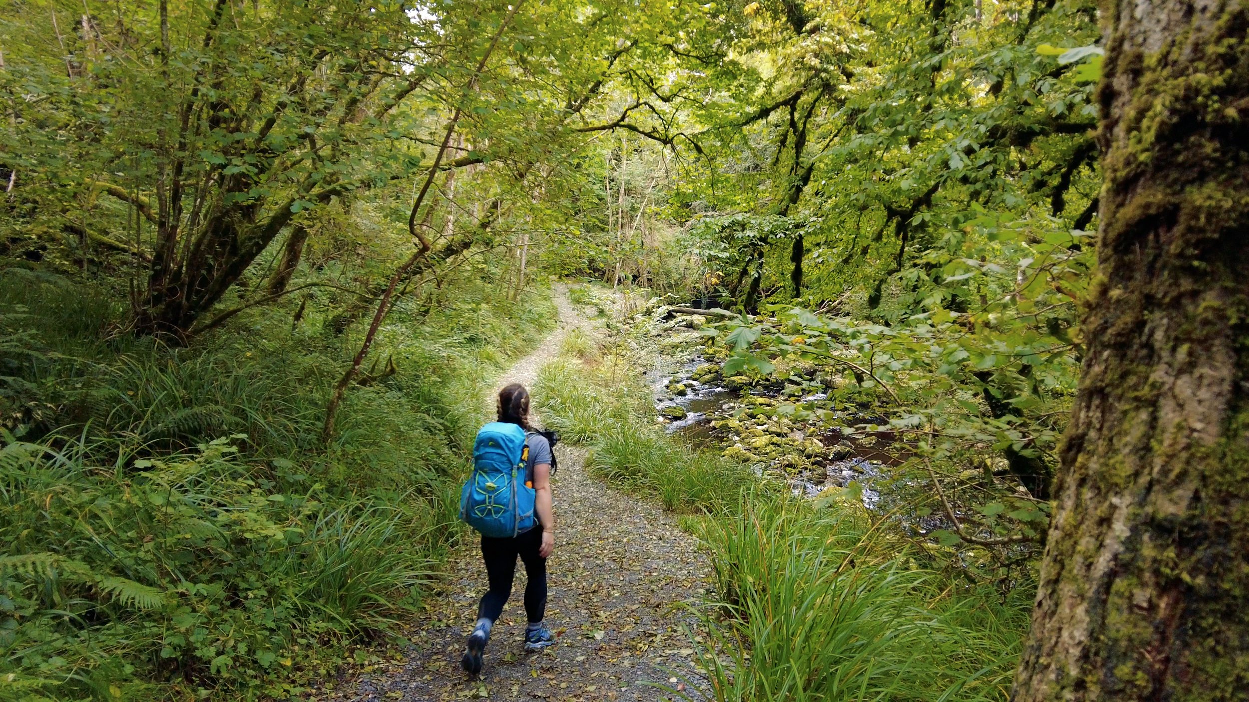
The Cladagh Glen National Nature Reserve is part of the wider Cuilcagh Lakelands Geopark (formally known as the Marble Arch Caves UNESCO Global Geopark). The steep-sided gorge that makes up this glen takes its name from the river that flows through it - a river that is born from the Marble Arch Caves when the Owenbrean, Shruhcroppa and Aghinrawn Rivers come together.
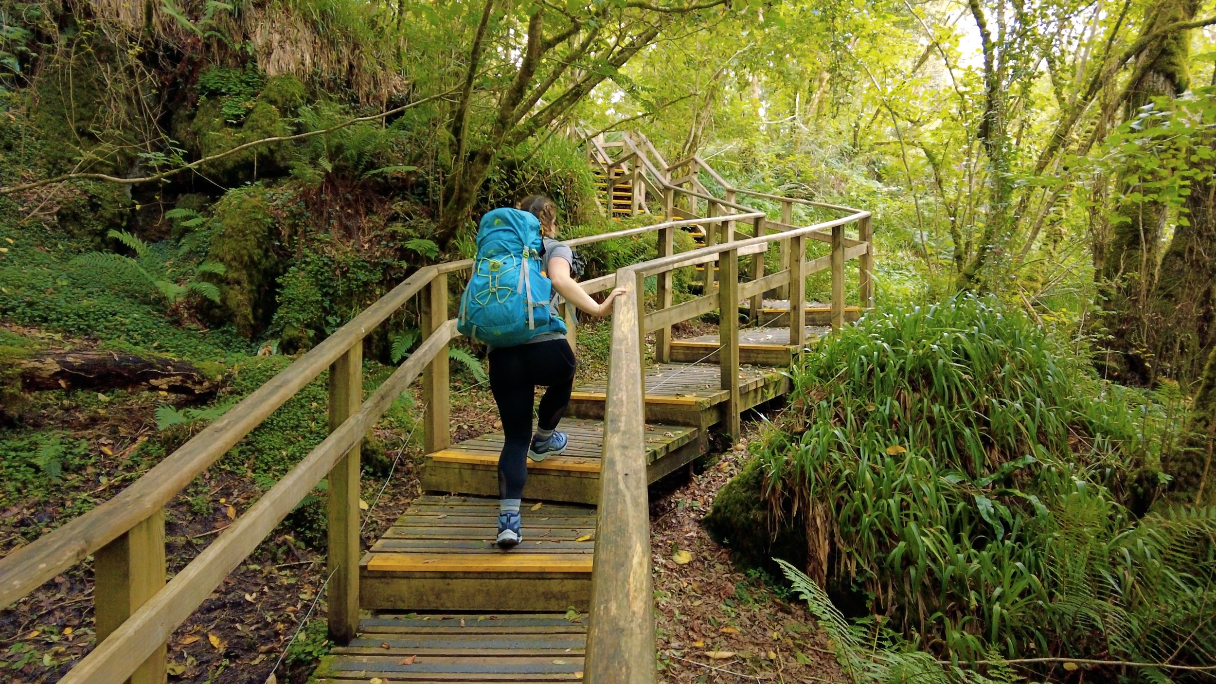
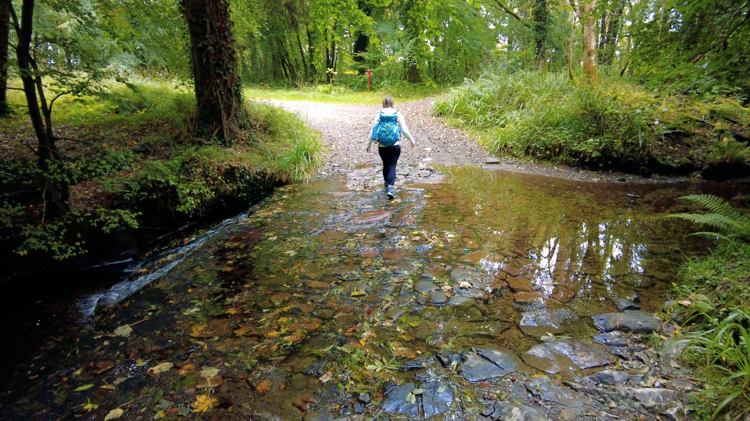
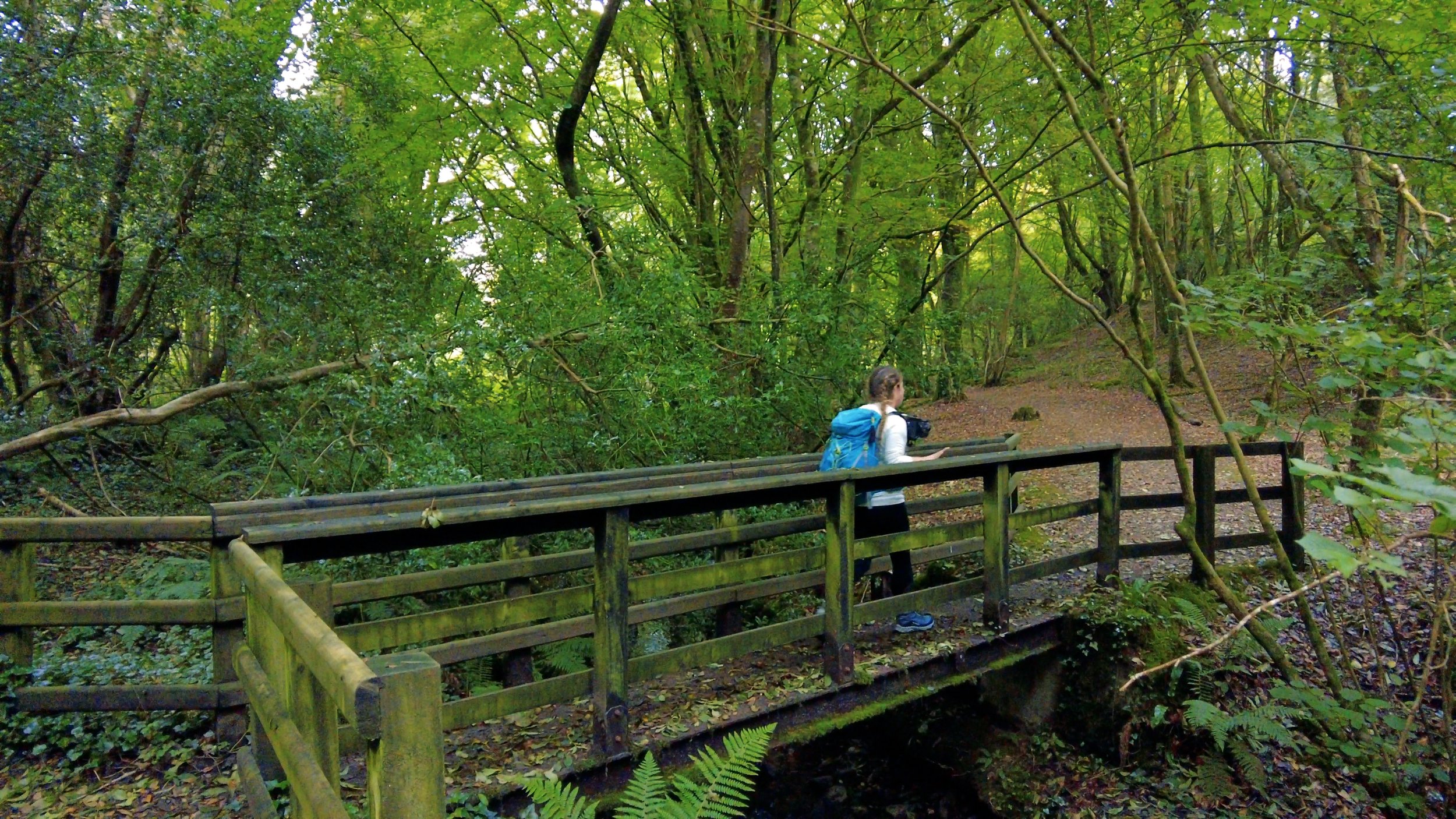
Changing into hiking boots and locking the car, we crossed through a small stile in the wall and past the local scouts den. The trail through the glen is roughly 2.5km long, with a wooden boardwalk connecting it up to the Marble Arch Caves at the far end. The variety of tress and flora gave the trail and river so much vibrancy and life.


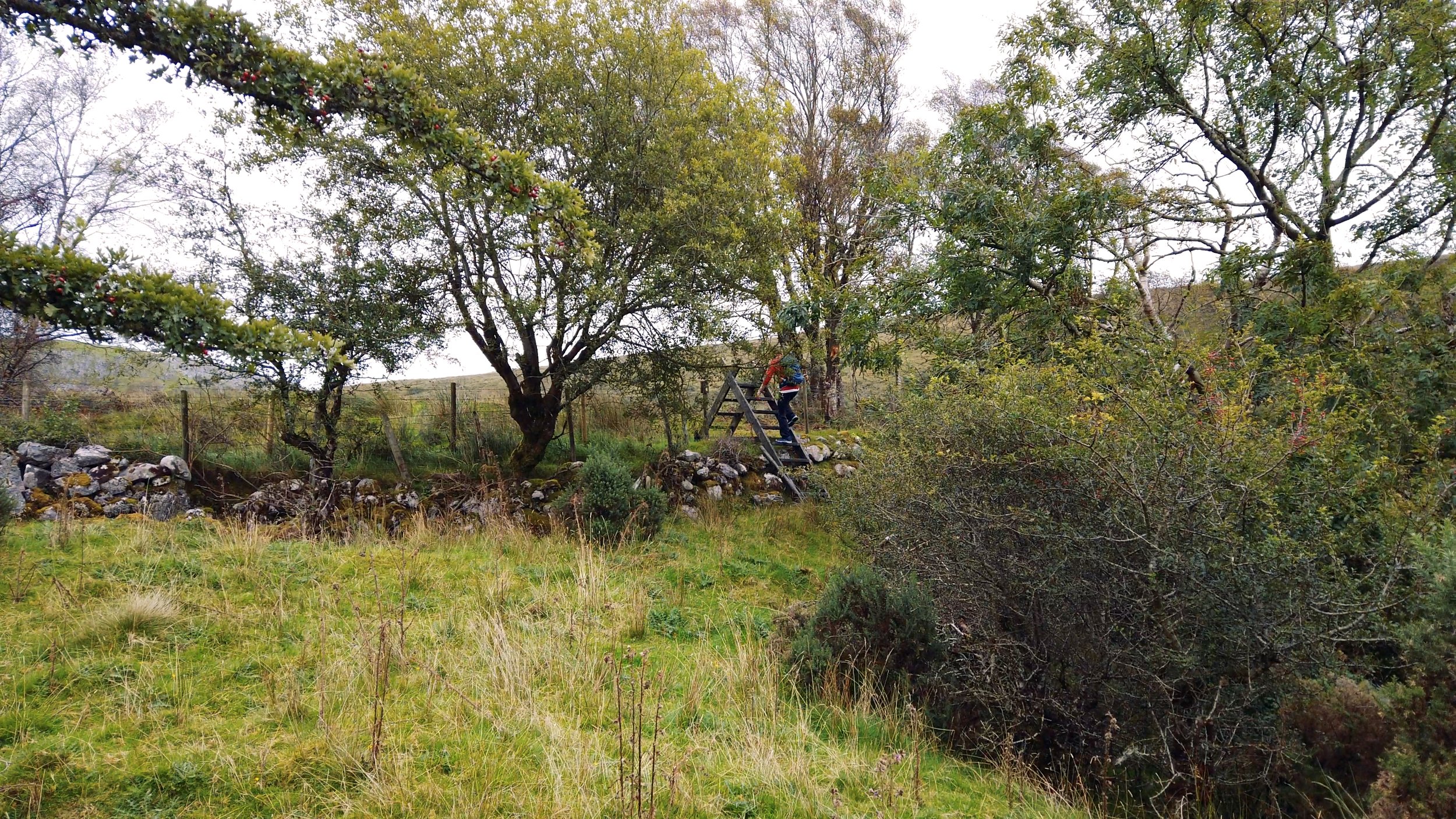
Arriving into the Marble Arch Cave a little after 4pm, we were too late to take the time to stop for coffee. Walking up and out of the carpark, we started the only, tiny road section of this loop. Walking out the gate we turned towards Florencecourt, walking the loop of this trail clockwise. From here it was small fields and open hillsides - not quite bog land, but certainly wet land when we passed through.
Arriving to the edge of Florencecourt, we saw a red sign listing the Ulster Way turning right. We stood there, looked at it, looked at the map. Taking this turn cuts off the Florencecourt section of the trail, around 7 - 9km, depending on how much wandering in the estate you do, and how direct the shortcut is. That night we were staying in a B&B out the far side of Florencecourt, and we had already planned on walking through the estate, so stuck to our maps and walked onwards.


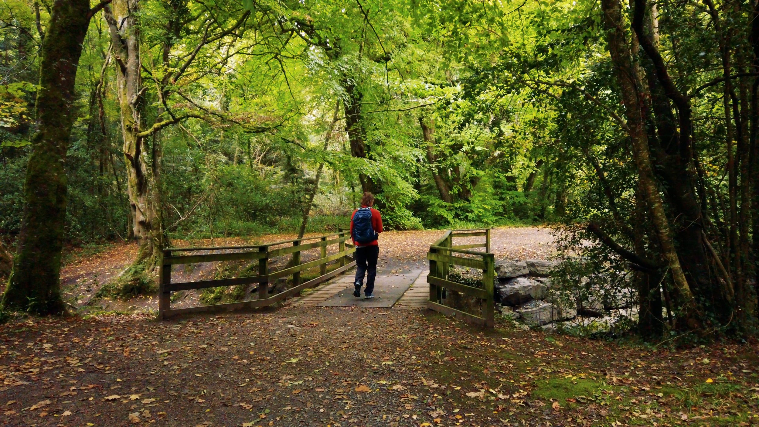
The estate itself is a mixture of some traditional forestry tracks on the entrance and exit points, but also takes you right past the huge palace that is Florencecourt, and along some more beautiful woodland trails that are closer to the house and gardens.
Reaching the front of the estate, we turned off and walked roughly 1km off trail to our B&B. The road we walked was the same main road out of Blacklion that we could have walked earlier that day and it wasn’t the worst road to walk. The verge was large and easy enough to navigate. Arriving to the front door it took an extra knock or two to alert our host to our arrival - they had been waiting to see a car pulling in. It still makes me smile how explicitly I can say “we’re walking” when booking accommodation, and it doesn’t click until we’re standing on the doorstep, wet, muddy and smiling our best “I promise I’m taking my boots off on the doorstep” smiles.
That night we ate Fiid instant meals (not dehydrated meals, think more wet food pouch for people instead of pets), microwaved in the living room we were shown into once enough layers had been shed. I think I give Fiid a solid 7/10; they score highly on price (around €3 per pack in most SuperValu and Tesco); the ease of use - no extra water needed, although if you’re heating in a pot over a stove an extra splash works well; nutritionally, they are pretty well balanced compared to cheap food we used to eat; however visually, the flavours we had were a pile of brown mush; and the calories only tend to have 300 - 450 (from what I’ve seen), but they are still filling.
The next day it’s back into the Florencecourt forests, and on towards Cuilcagh. This being our first official Northern Irish Waymarked Trail, there are some things we noticed that differed to many of the trails we’d walked already. One of these was that the Cuilcagh Way was going right over the summit of Cuilcagh, a mountain that is 665m tall. As far as I’m aware, one of the standards involved in trail development in Ireland at the moment involves keeping trails below 600m, usually bringing the route around the sides of mountains as opposed to over them. There are a few trails that climb above this - the “grandfather trails” that were the first long distance routes to be developed in Ireland in the 80’s and 90’s. These Irish trails were inspired by the existence of the Ulster Way, created in the 70s.
Another difference we noticed was in the way-markers. If you’ve been following us for a while, you might have noticed that we call the little yellow walking man that illustrates the Irish way-markers “Elvis” (a name borne out of a joke made four years ago and lost to the winds of time). Elvis is typically printed in yellow, with a yellow arrow below him, on a black rectangular plate. These plates are usually mounted on skinny rectangular black posts, or onto walls and streetlights as the trail passes through different locations.
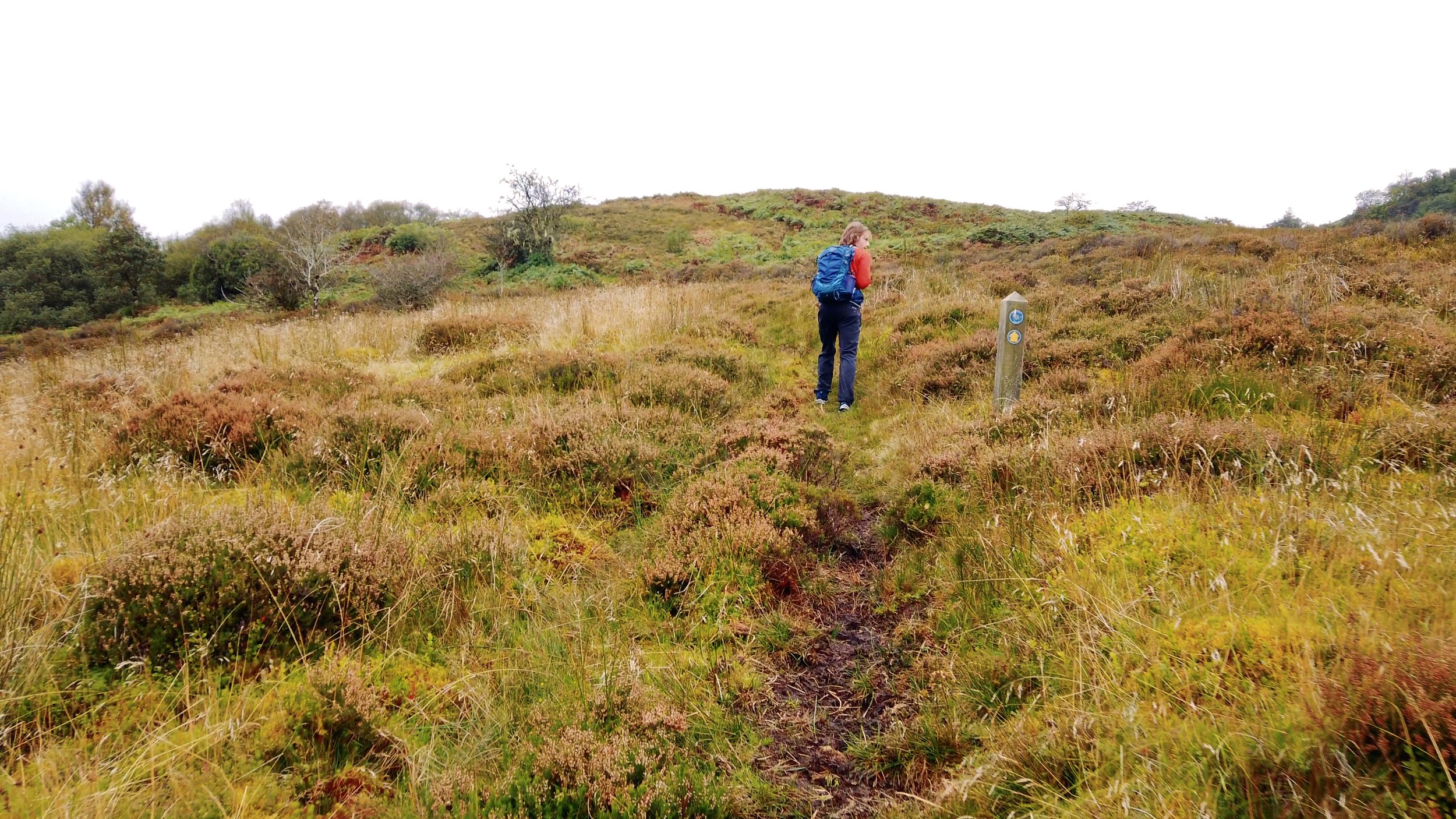
The Ulster Way uses shorter, fatter wooden posts that have a point on the top that makes a pyramid shape capping the post. On every side of these posts are three recessed circles that way-marking disks can be placed into. For the Ulster Way, one circle will be home to a disk that has the name of the trail on it, and a second circle will have a disk that has an arrow drawn on it.
There are pros and cons to both way-marking methods. Firstly - the posts. The Ulster Way posts are never going to be mistaken for a post in a line of fencing - both the thickness of the posts, and their pointy tops. However, they are usually too short to see as easily at a far away distance, and the brown wooden colour immediately disappears into the general colours of bogs and forests. The Elvis posts can be confused with fencing, once you really hone in on the shape of the recycled plastic posts that are becoming common-place on the Irish trails, they are distinctive and don’t discolour.
Secondly, the way-markers themselves. The disk method is really nice, as it allows for more nuance in direction pointing - eg. it can be placed pointing north-east within the recessed circle, as opposed to a rectangular plate only having strictly left, right, and straight ahead. The bonus of Elvis is that he’s just that big bigger that his bright yellow stands out more, making him easier to spot.
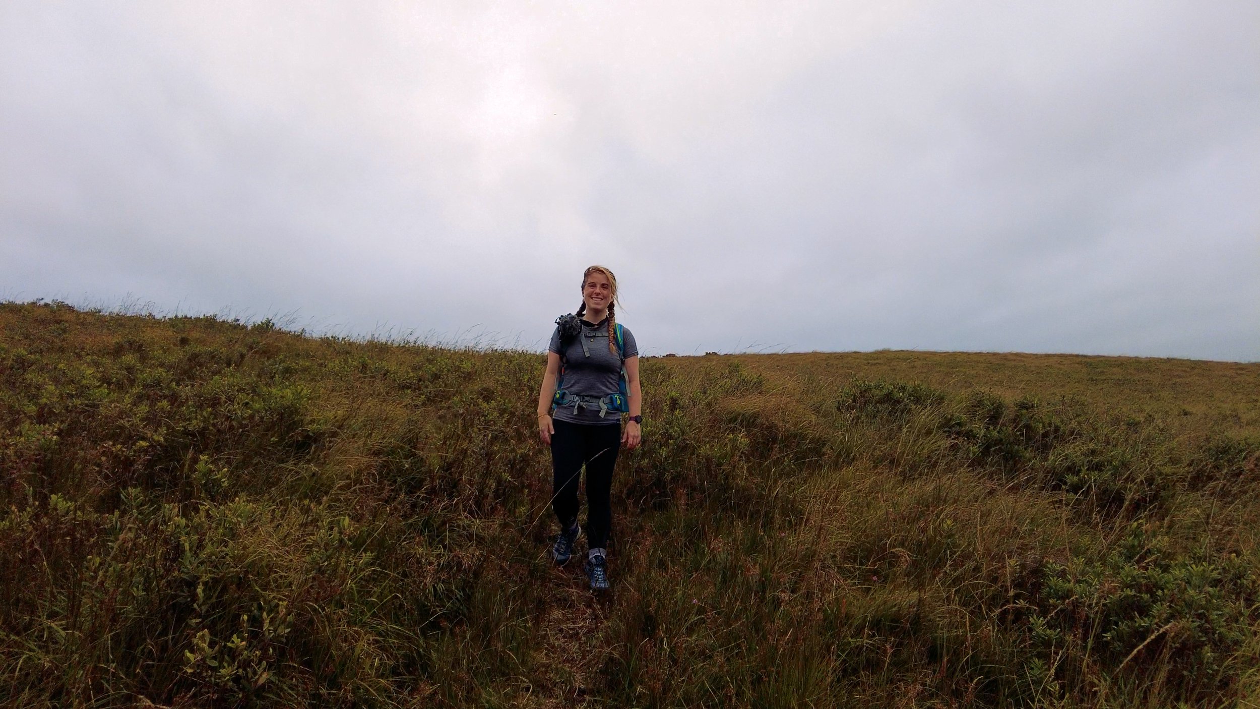
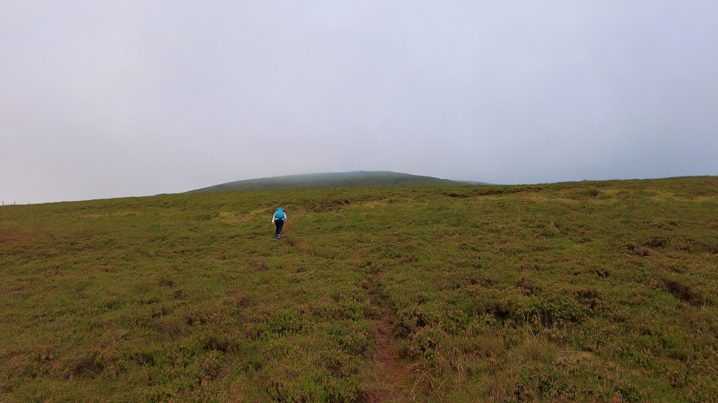
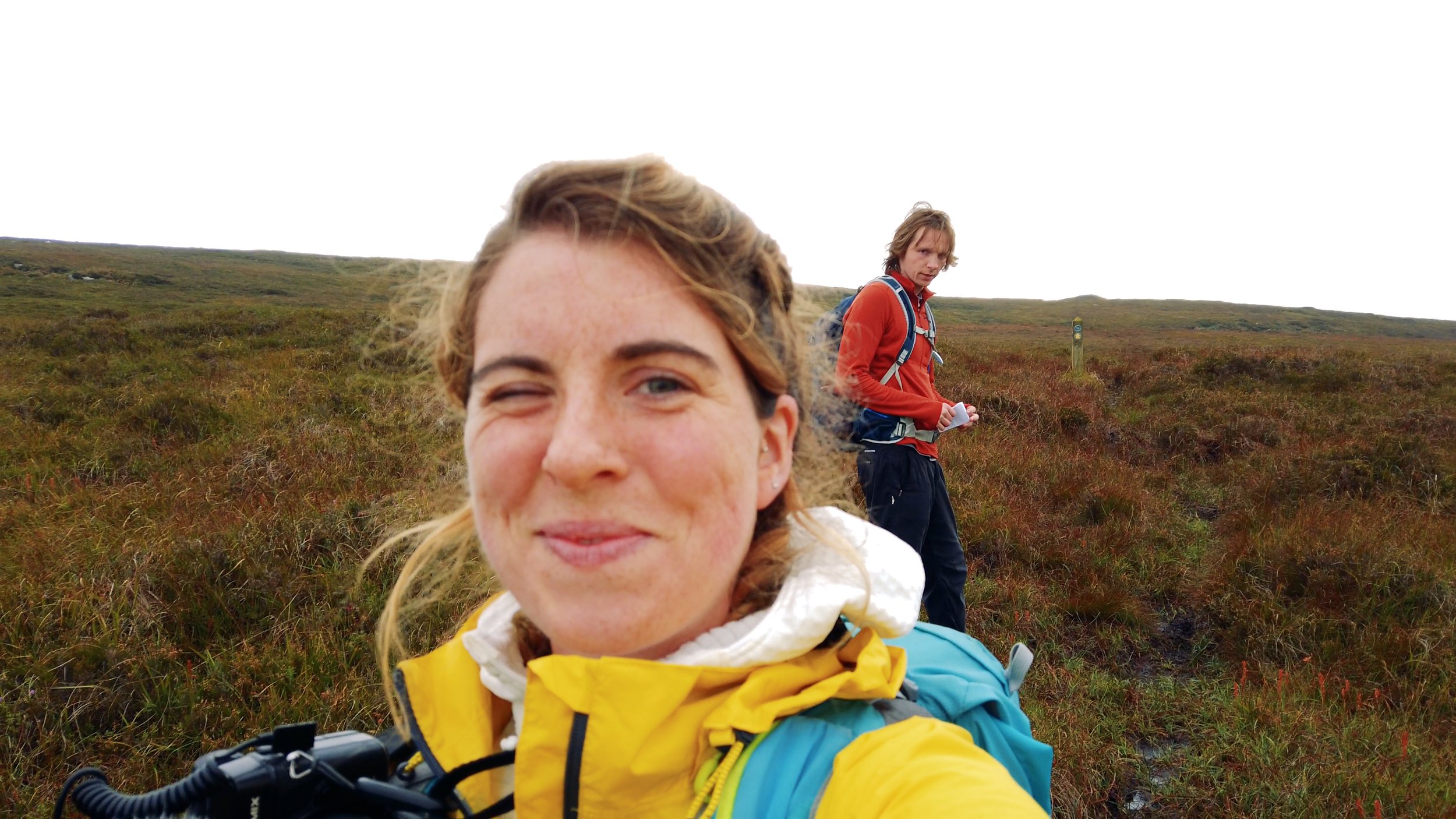
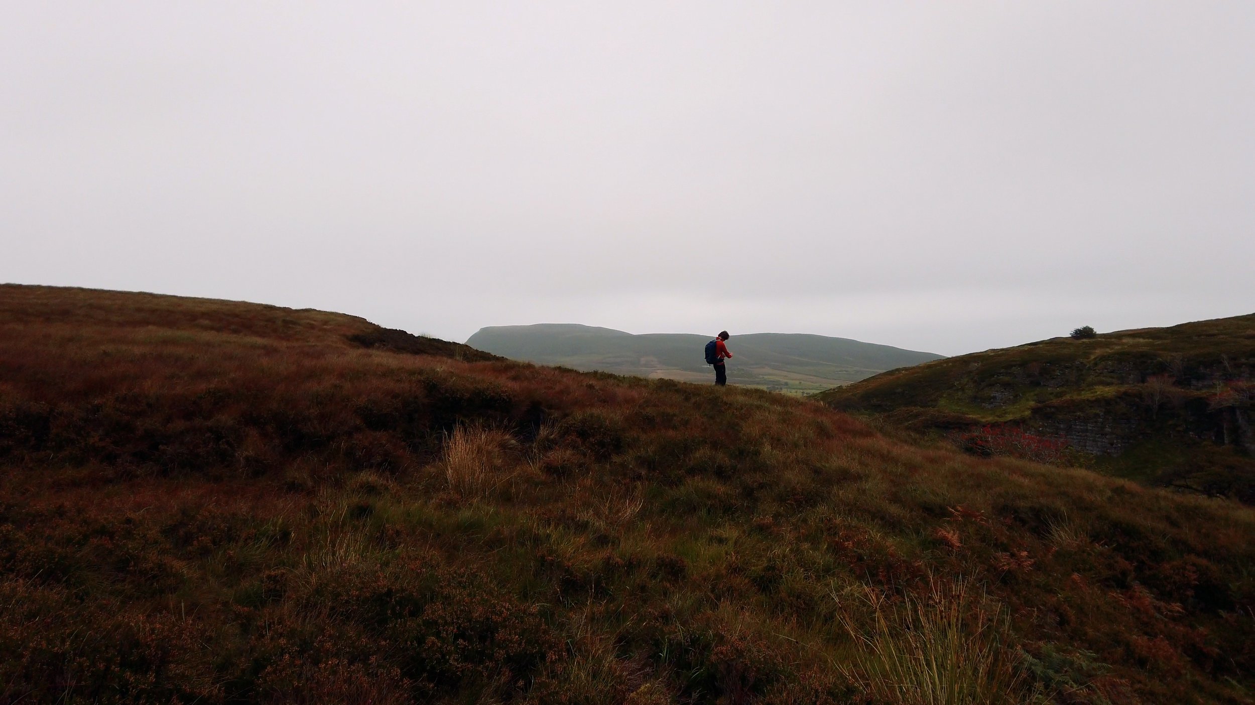
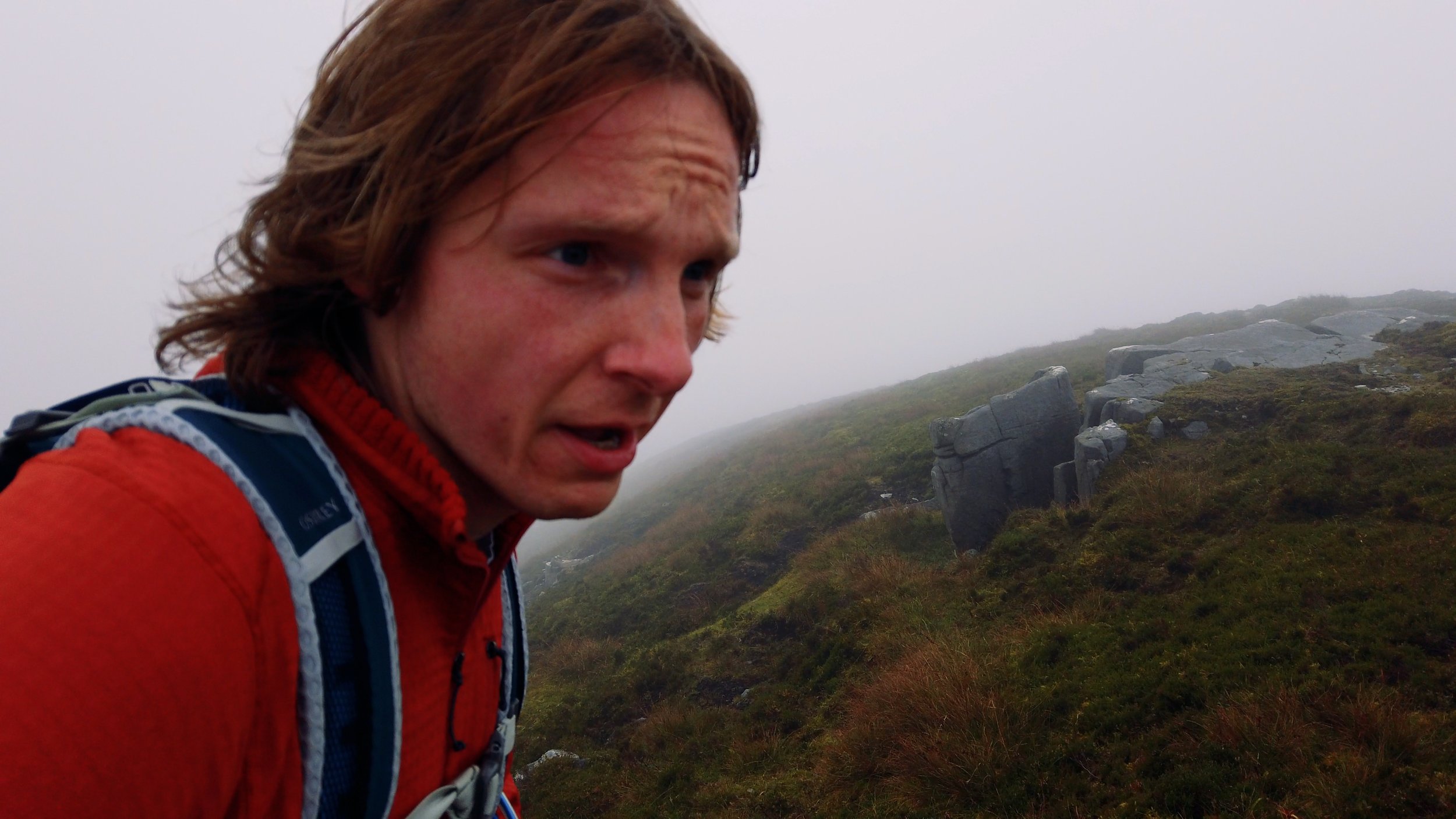
I could go on. If you hadn’t realised how much time we spend walking, these paragraphs might give you an insight into how much of our lives this has consumed. In a good way, of course. The important thing to know next is, despite the possible drawbacks of way-marking, we found the trail once more as we left the Florencecourt estate. We pass the point where the possible short-cut of the day before reconnects, and the trail climbs over undulating hills. The landscape here is very dramatic, with small hills looking like towering mountains surrounded by cliffs and windswept trees. The terrain of the day is bog, and the weather is providing an overcast drizzle.


It takes us a long time to get the pace going, and we stop at the junction for the Gortalughany viewpoint to eat our lunch of home made bread roll sandwiches. It’s another 4 - 5km of bog to get to Cuilcagh, and the hours crawl by slowly as we squelch our way through the soft earth now a mix of vibrant orange, reds and browns that looks decidedly unimpressive whenever I try to capture it with the camera.
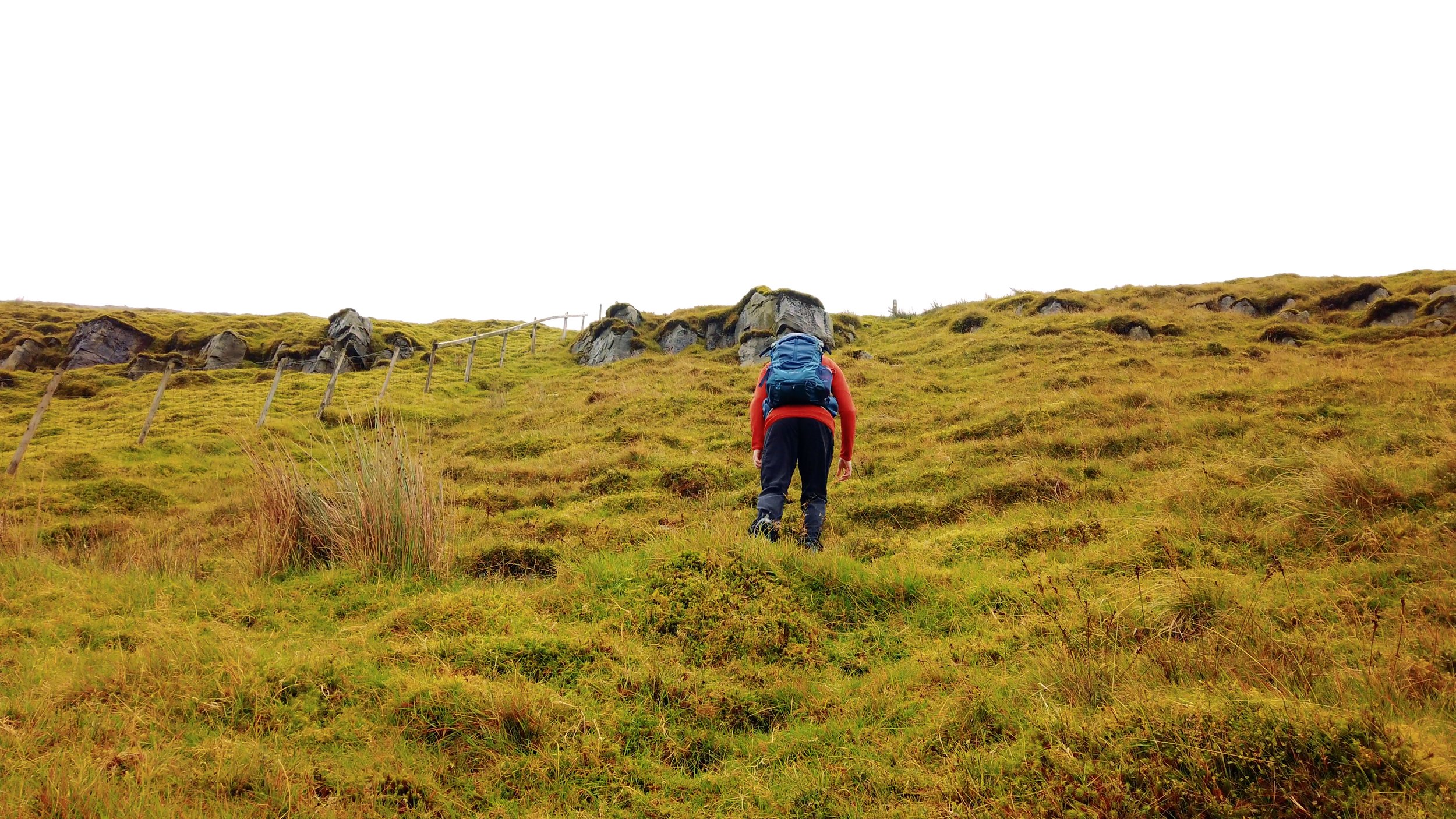
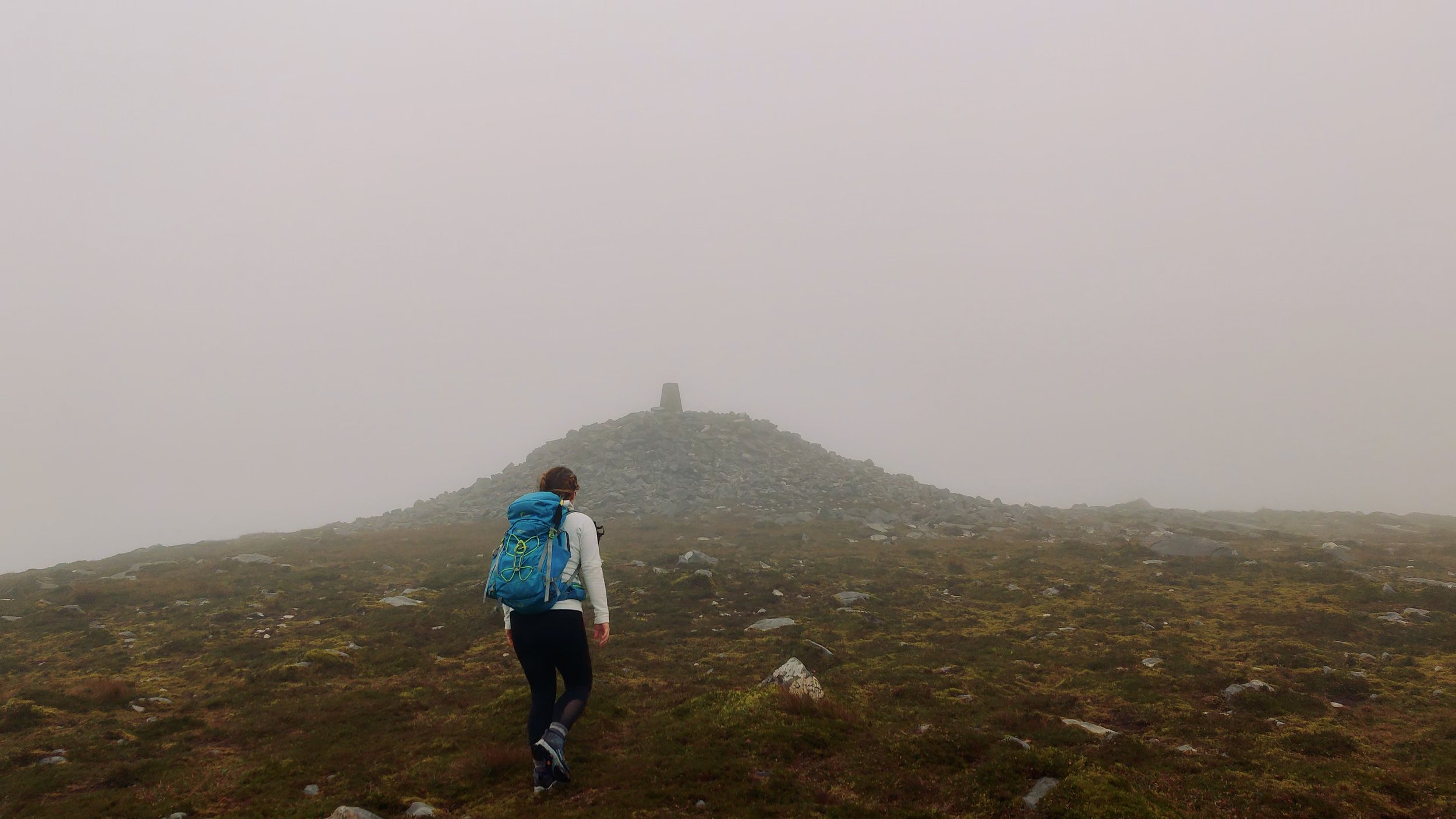
As we approach the foot of Cuilcagh from this side, the steepness of the climb from here hits home pretty suddenly. We see the way-markers just point straight up this semi-cliff, and so we put one foot in front of the other, and walk up. The climb is intense, but over quickly, and we find ourselves suddenly on top of the mountain. It’s an experience of extremes - extreme climb, and then extremely flat. We see the summit and go touch the cairn, ticking off one of our county high points while we’re there. We then descend along the boardwalk - which I’ve already written about here.


Reaching the boardwalk car park, it’s a very short wander down the road to the entrance to the Marble Arch Caves, and high five. Loop closed, trail completed. We have yet again, unfortunately, not made it back in time for the coffee shop.
We walk back through the Cladagh Glen, and ask each other what our favourite parts were. I think how this feels very different to many of the Irish trails - although I can’t fully decide if there’s something truly different, or if it’s just the idea of newness. I dig my car keys out of the backpack, and enjoy the amazing feeling of getting to take off my hiking boots and put on fresh socks with my sandals. When you’ve through-hiked for months on end, it’s the extremely mundane that becomes the ultimate luxury.