Overview - Lough Meelagh Loop:
Distance: 11km
Format: Looped
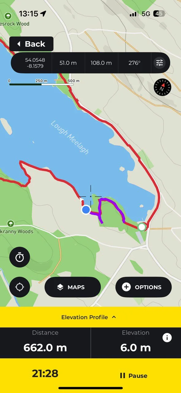
Route: This route is taking the existing long distance trail of the area (The Miner’s Way & Historical Trail), and creating a shorter day hike by linking to sections with a short road walk.
You can view or download my route for this loop on Hiiker here.Time: 120mins - 180mins (depending on route, fitness, and how long you want to take in the views)
Parking:
I start this loop at Knockranny Woods. There is a medium-sized free car park (here on google maps)Trail difficulty: Easy
As I’ve alluded to above - this is not a trail that is waymarked in it’s own right. However, it takes advantage of pre-existing trails, using a short 2km road walk to link to sections together. Despite this small part of personal navigation, I am still grading this as an easy trail.
Read about trail grading in Ireland here.Trail quality: 3/5
Section directly after Knockranny woods brings you along the lakeshore, which in bad weather can be wet / slightly flooded.Views: 4/5
Forest walking with small view points out at the lake. A very pretty area to walk through.Buggy/Wheelchair friendly: No
Dogs allowed: No
Route passes through active farmland.
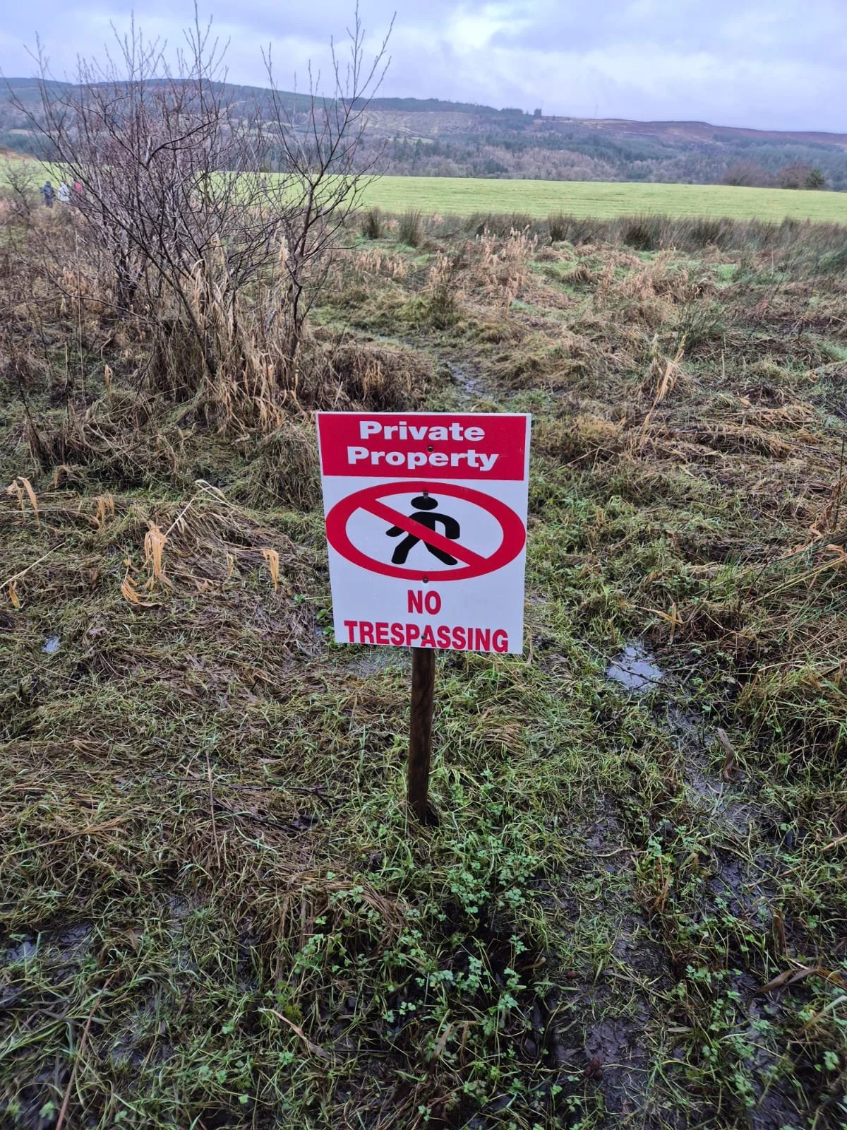
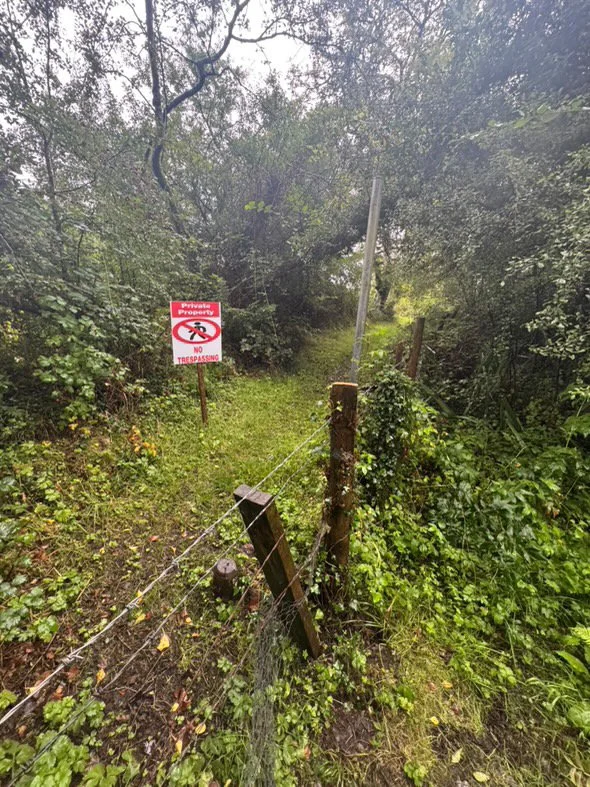
2026 TRAIL CLOSURE NOTICE
At the time of writing (JANUARY 2026) a section of the Lough Meelagh Loop is closed on the south-west side of the lake - where the trail exits Knockranny Woods. Having asked those involved in this trails development, it is unclear when this section of trail will be open again.
The Lough Meelagh Loop is a trail of my own devising, which uses much of the pre-existing trails developed in this area for the local long distance trail, The Miner’s Way & Historical Trail. Of the 11km of this route, 2km is self-navigation. Starting from Knockranny, we’re walking this trail clockwise, through the woodlands.
Explaining the route:
Following the yellow arrows, you will pass along the lakeshore, through a second section of the woodland, and then onto the small boreen. Keep following the trail right along the lane, over River Feorish, and through the Y-junction. Shortly afterwards, you will come to a cross roads (grid reference G873109). Here, the waymarking turns left (somewhat south) - we are turning right (almost north). Walking 2km along this road, you’ll cross the River Feorish once more, and then arrive to the turn into the grounds of Kilronan Castle (grid reference G870127). Here, you’re back on the official Miner’s Way, and we will follow the yellow waymarker back to the car park.
One of my favourite elements of this route is the fact that it takes you through so much old, deciduous forest. This area of the country is littered with lakes and pockets of plant life that other areas have lost. This is, in part, due to the fact that the land here just wasn’t as good for farming as other areas, and so was developed less. Now I consider this one of its biggest selling points.
Walking through the Knockranny Woods section you’ll come across handmade way-markers and small wooden styles to guide you along. These light human touches merge with the old growth, mingling with the moss and animal tracks. You’re never far from a road, and yet you feel like you’re in another world.
Leaving the woods and navigating the 2km road section, the way enters the grounds of Kilronan Castle. This large house was extended to its current dimensions at the end of the 19th Century, and is a luxury hotel with well maintained grounds - of which we explore 3km of trails along. This includes the walk out to the end of Doon Point (and the dramatically name Window on the World viewpoint of the lake).
The trails stay as close as possible to the shoreline without risking trail flooding, and brings you past old boat houses and water pumps from times long gone.
As you exit the grounds of the castle, you will pass one of the most dramatic gate lodges. This building is a folly, intentionally designed to look like it was from centuries past. It is exceedingly similar to the Fairy Bridge you can find in Lough Key Forest Park not too far away.
Once you’ve wandered the crumbling walls and continued out to the road - never fear, for the wonderful trail designers have managed to submerge the trail in the ditch (which is a more more pleasing walking experience than that phrasing conjures to mind).
And sooner than you’d think, you’re back to the lakeside and the car park you originally left. This trail is a prime example of making the most of what the landscape has to offer, and really immerses walkers into the surroundings.
Further exploring
Other day trails in the area:
Long distance trails:
Mountain Hikes:
Favourite Local Coffee / Food Options:
The closest shop to the trail is Killoran’s Corner Shop in Ballyfarnon
The Shed Distillery, Drumshanbo (large cafe area)
Lovage, at the Gate Lodge Cafe, Boyle (Cafe with food)
The Bazaar, Boyle (Cafe with food)


