
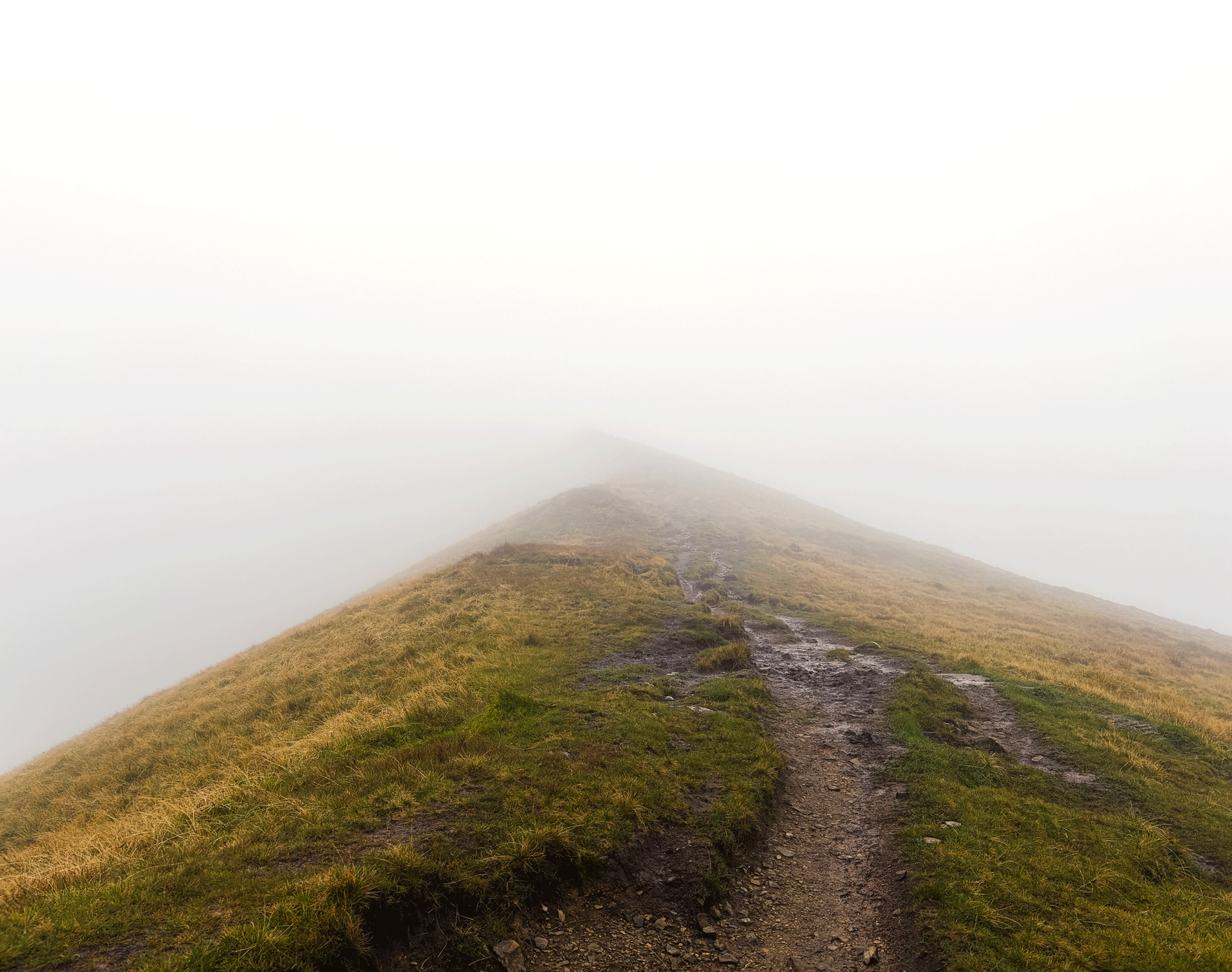
Meeelrea (Maol Réidh) is the highest point in County Mayo - and in Connacht as a whole. A summit often shrouded in clouds, this mountain has both approachable slopes and sharp cliffs, offering many different levels of adventure. For this write-up I’m focusing on the more approachable climb from Silver Strand.
This mountain is one of the wilder places you can visit in Ireland, and deserves respect. If you’re someone completing the County High Points List, this mountain is in the “hard” end of the list, along with the likes of Carrauntoohil and Benbaun. If you’re new to the hills, I’d strongly recommend finding a local mountain leader to take you (send me an email if you need a recommendation).
Overview:
Distance: approx. 9km round trip
Elevation gain: 862m
Format: Out and back
Time: 3 - 5+ hours
Start / End / Parking: Climbing from the Silver Strand side means approaching the mountain from the NW. Driving out to this remote area, you’ll end up reaching the very SW tip of Clew Bay, before following signs south along the coast towards “The Lost Valley”. This road slowly becomes a single lane boreen, that ends at Silver Strand Beach. The start point for this hike is approx. 1km before the beach, at a wide bend in the road, grid reference L764 688.
I parked in the lay-by beside the farm track you walk up to get onto the mountain. There’s only space for one or two cars. This is an active farm, and also one of the only wide passing points on the road, so you cannot block any gates, or prevent people from being able to pull in to let tractors pass.
If you’re coming as a group, don’t want to park your car in the ditch, or there’s no space when you arrive, continue down the lane to Silver Strand Beach Car Park, where there’s a large car park (Google Maps link). It’s a 10 - 15 minute walk from the car park back to the start point.Trail difficulty: Moderate - Difficult
The route I’m describing for this climb is the easiest of the routes for this mountain, and so can make the mountain feel less than it is. What’s key to remember in the Irish hills is how, when it’s all going well, it can feel extremely safe. Mweelrea is somewhere that you can muddle through and be fine, or fall and have a very bad day. The first two third of this route is a long, slow, boggy climb in a somewhat straight line up the mountainside. The top third is along the exposed ridge, which I’ve only ever experienced with strong winds and low clouds. An ability to deal with mountain hazards, steep ground and navigation is essential. Read about trail grading in Ireland here.Trail quality: 2/5
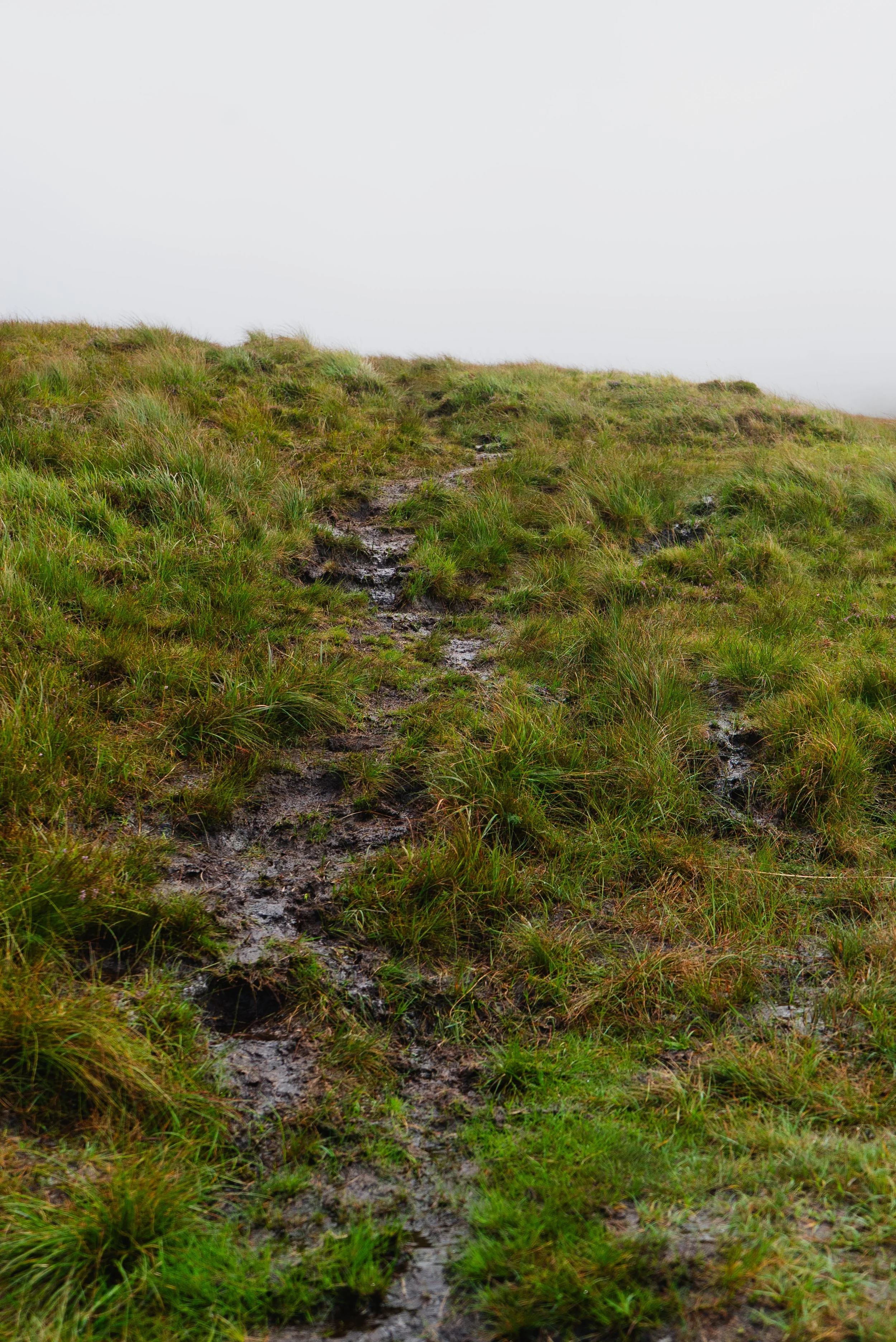
Once you step onto the open hillside, there are several worn paths through bog and grass. Some of these paths are made by walkers, some by sheep, and all are changed by the water running down the hillside. Be aware that the path your following might not be leading you to the top. The summit requires confident navigation skills for is regularly cloud cover, and bad weather often blows in.Views: 3/5
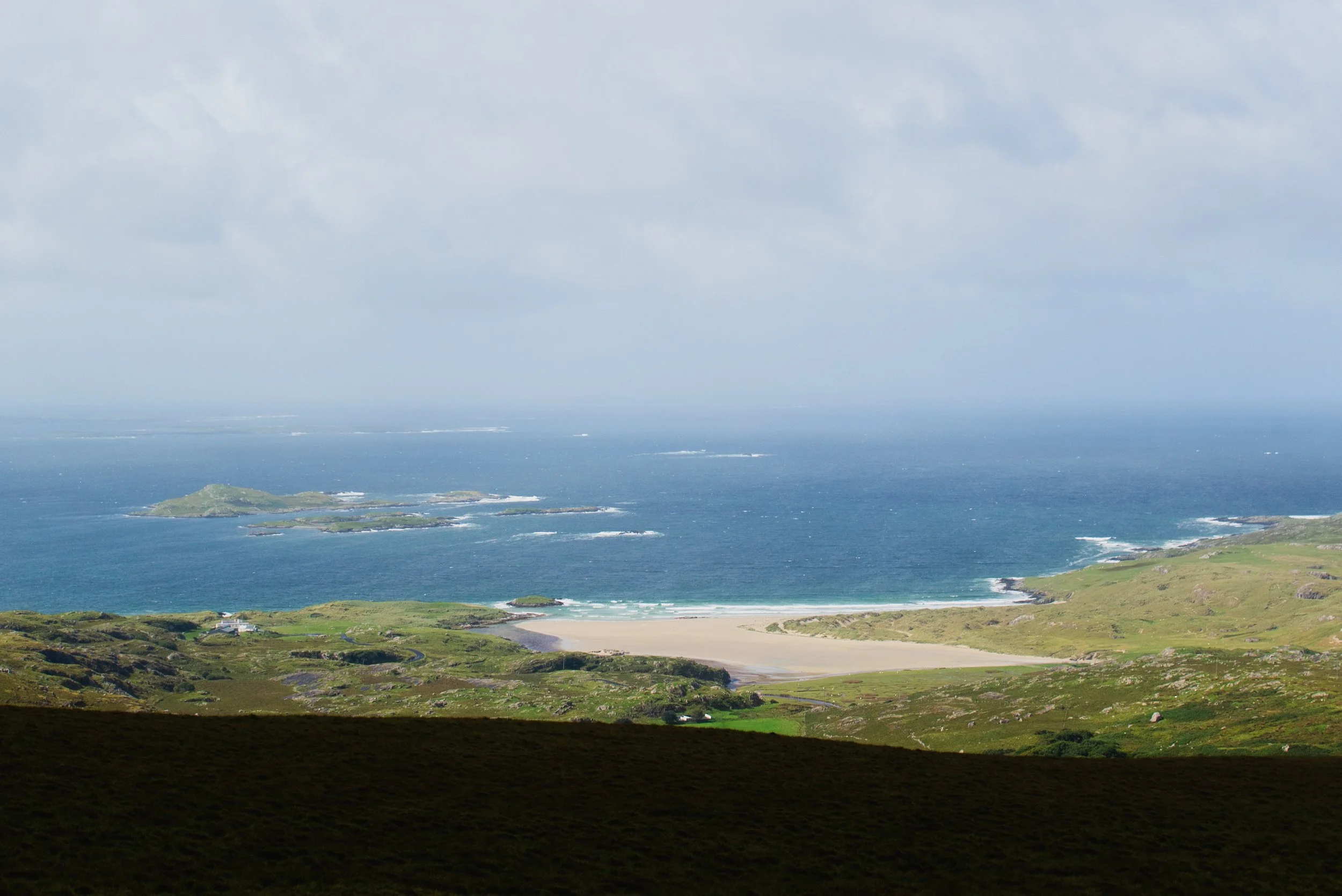
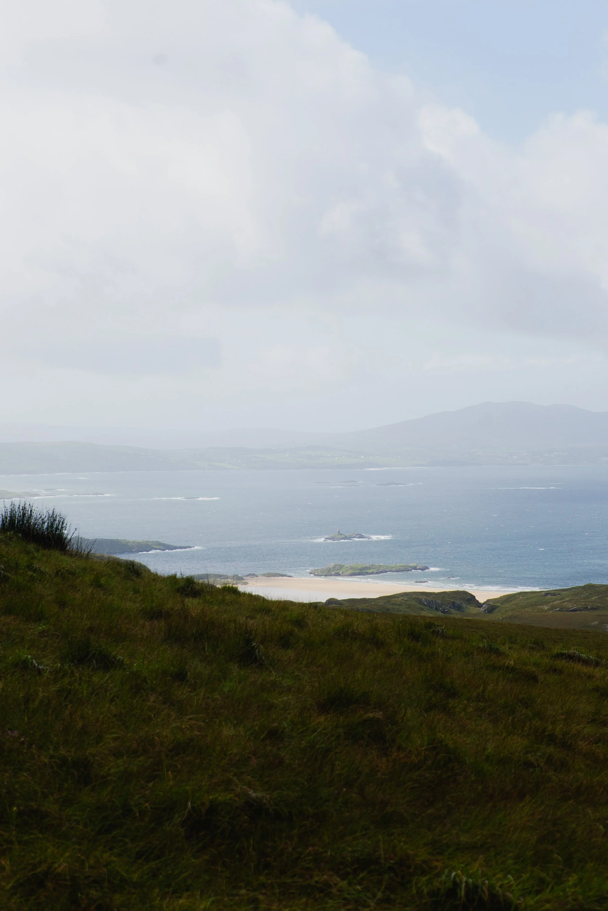
If you get a clear summit, the views are incredible. One of the drawbacks of approaching from Silver Strand when there is cloud cover, is that you only have one “view” for the whole hike. The area as a whole is beautiful.Buggy/Wheelchair friendly: No
Dogs allowed: No
When did I walk this route: September 2026
External resources:
Learn more about this summit on MountainViews
MountainViews is always my first stop when it comes to info on summits around Ireland.EastWest Maps: the most detailed maps you’ll find of Ireland, here’s a link to their maps of Connacht.
Mayo is one of my favourite places. There’s a remoteness to the mountains that I love, and I find its emptiness a haven. No matter which side you’re climbing from, driving out to Mweelrea is beautiful. It’s a showery Friday morning in early September when I find myself on the slopes of this mountain once more.
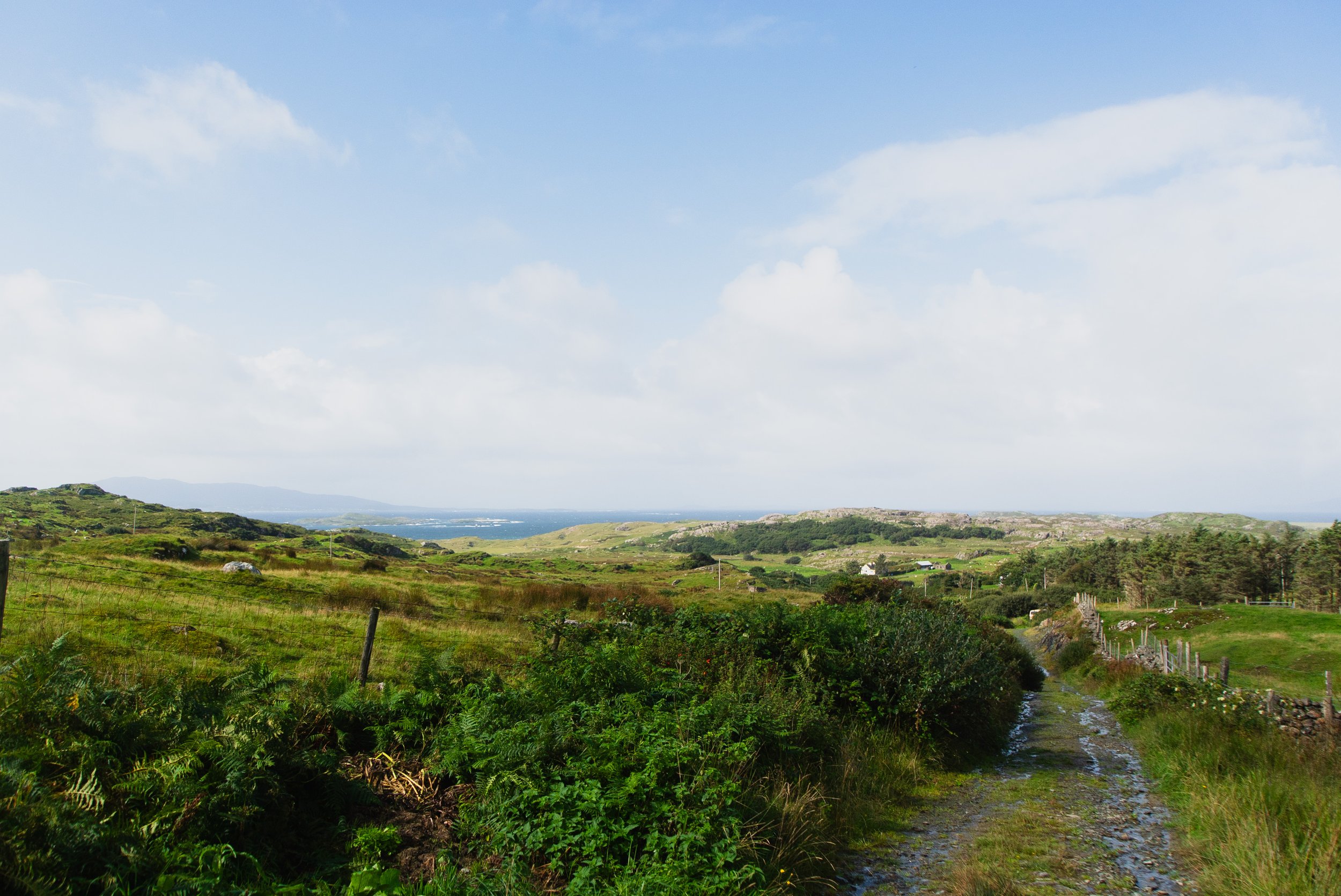
Starting from the farm lane (Grid Reference: L764 688) it’s an easy walk up to the gate onto the hillside (always keep closed as signage instructs). As I walk out I’m greeted with the bleating of a few dozen sheep, some sounding expectant, as if I'm bringing a surprise bag of food - others dash off as if they’ve never seen a human before.
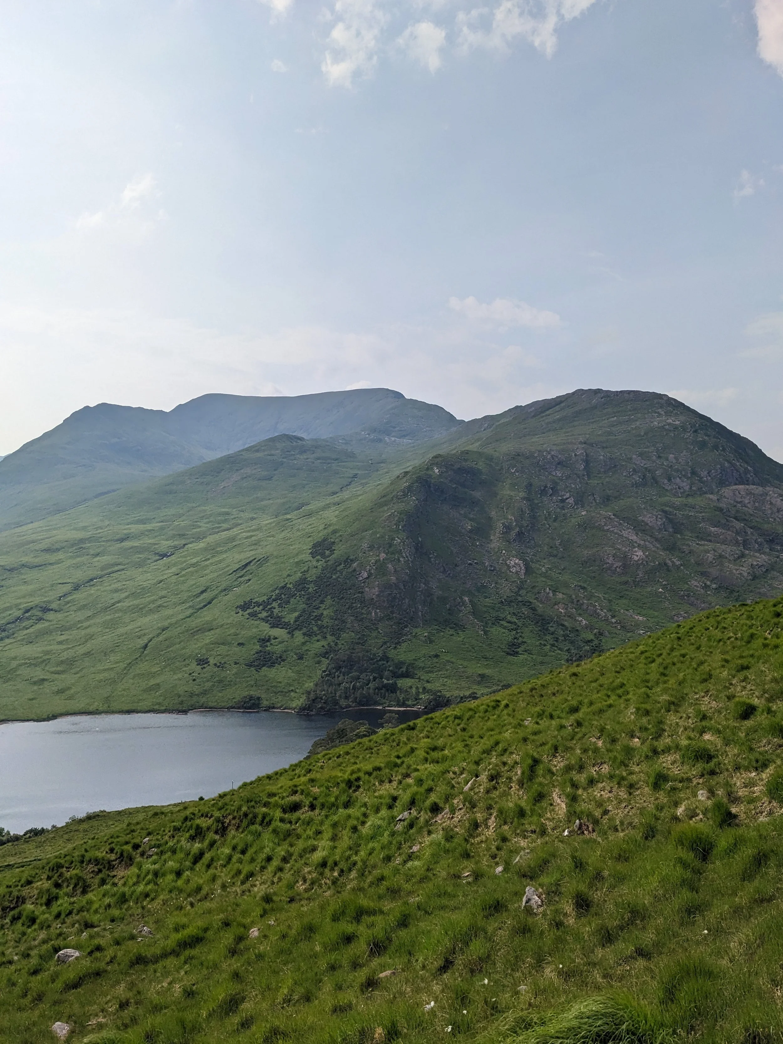
From here, you can see the whole mountain ahead of you - and pretty much your whole route if the weather is right. Looking left and somewhat north-eastwards, you’ll see the dramatic edge of Ben Bury and the other “Bens” that make up the NE ridge line. On a cloudy day like mine, they can look like the more immediate, impressing mountains. However, today I’m heading to the very small bowl that’s south-east of me, which will lead up onto the col north of Mweelrea.
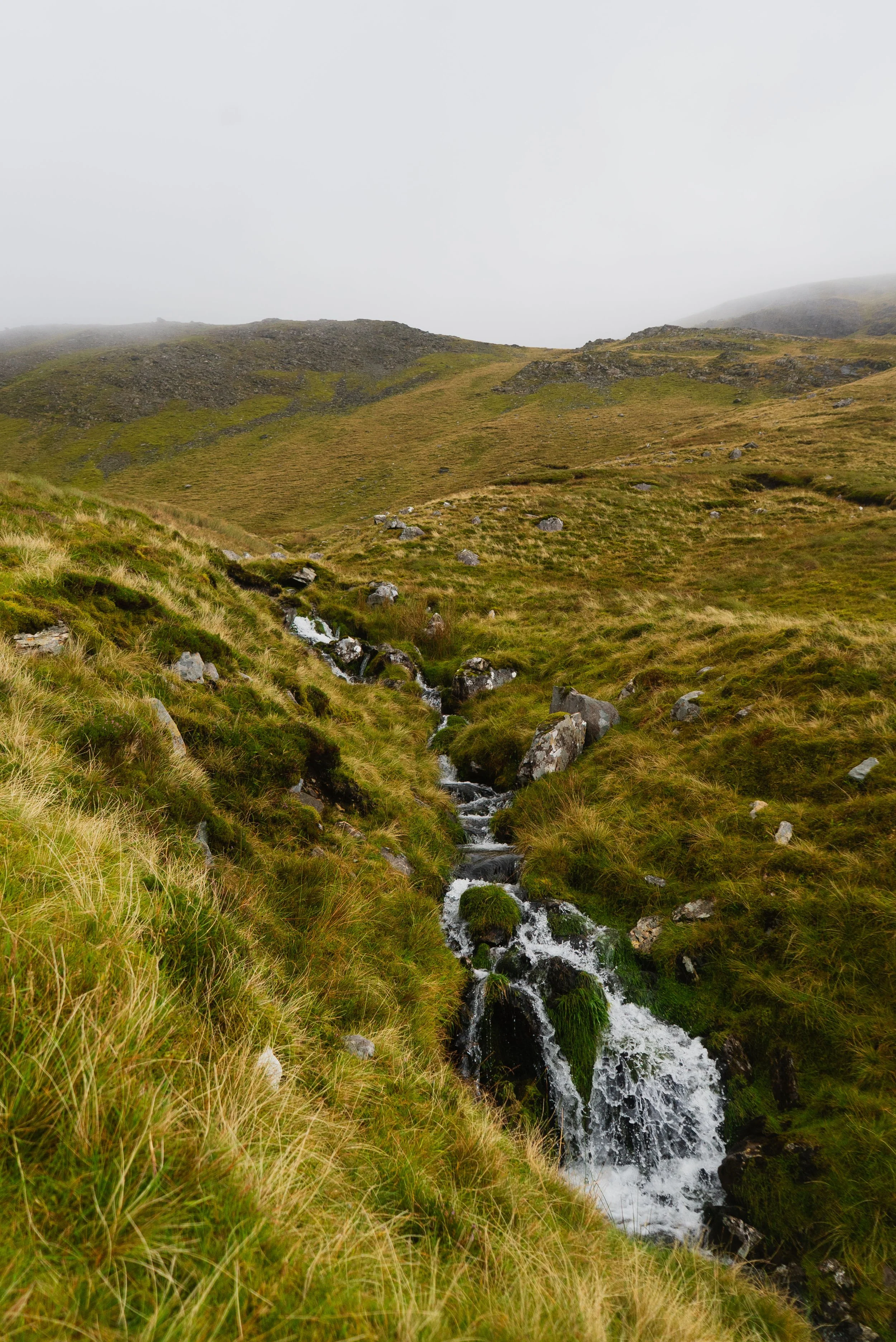
As I mentioned above, once you step onto the open hillside, there are several worn paths through bog and grass. Who made the path first, the walker or the sheep, we’ll never know - and the rain doesn’t care to know. As we move through the Irish seasons, and more water hits our hillsides, the run-off water will always take the path of least resistance, often channeling through a foot path. This can make some minor paths look far more used and substantial than they are. I noticed more than one path deviate off on an unusual contour on my way up. Mostly, this is a long-winded warning not to get too content looking at your feet, and take in your surroundings as you move up the slopes.
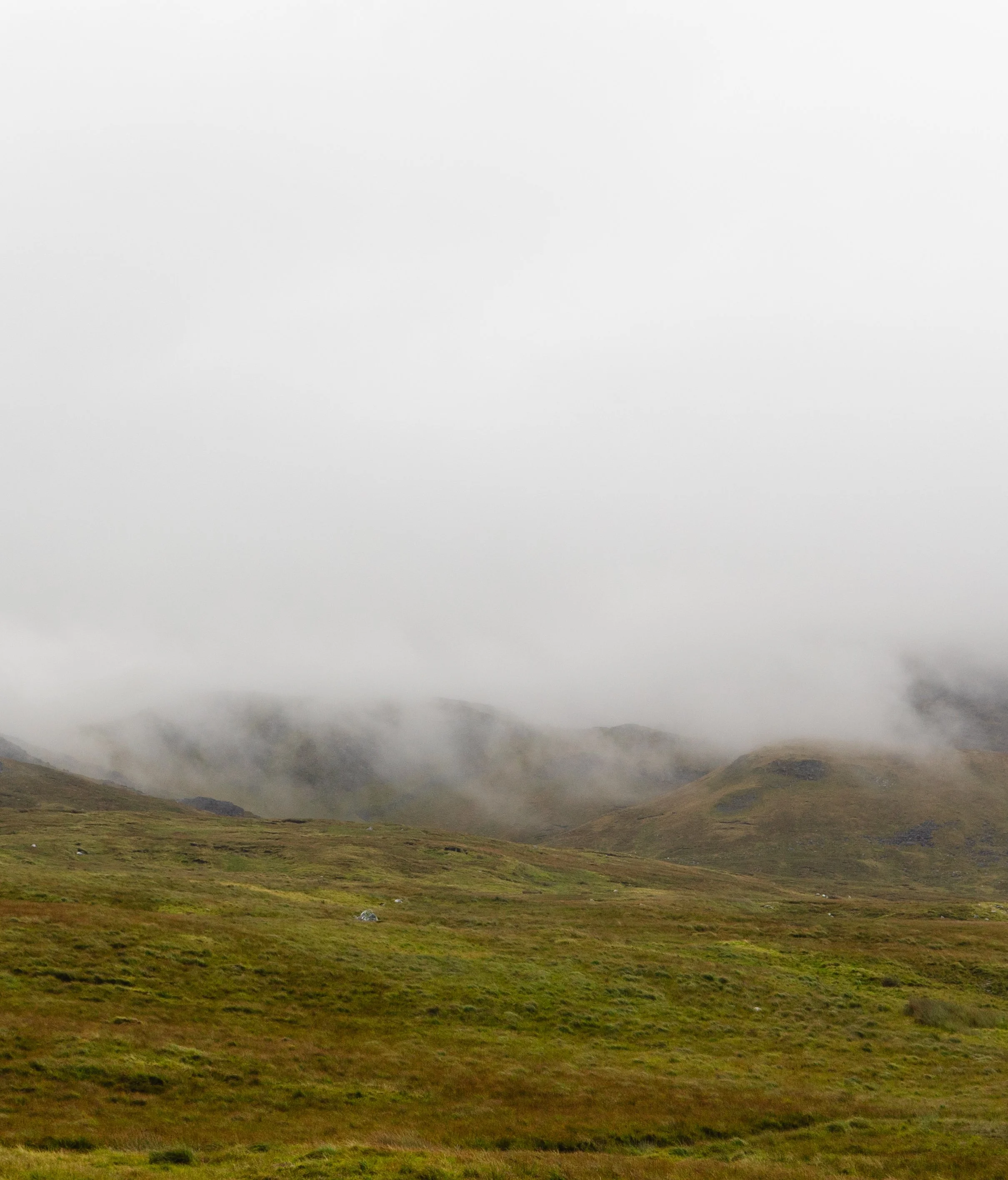
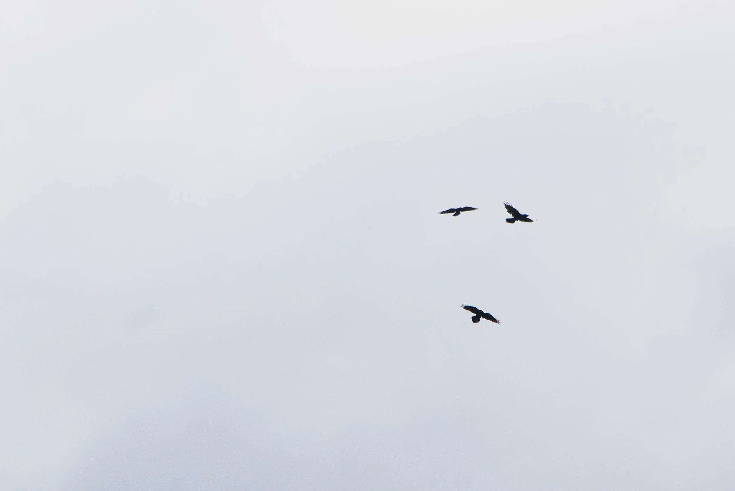
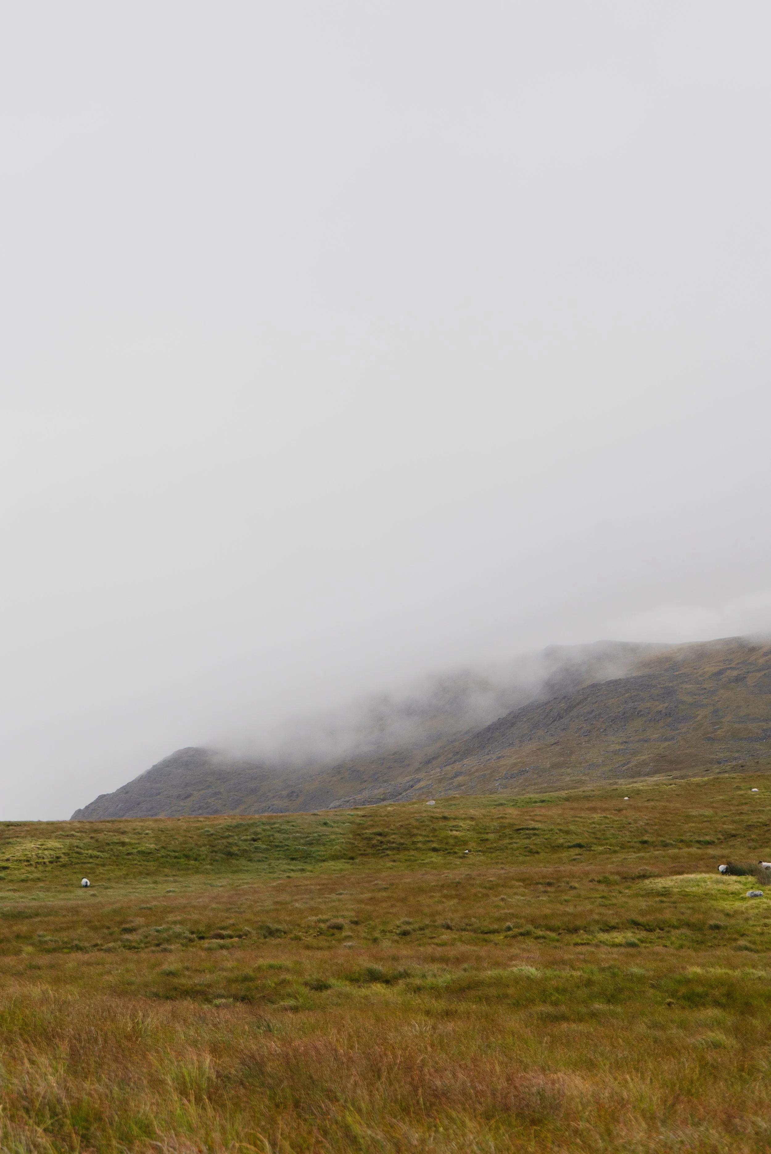
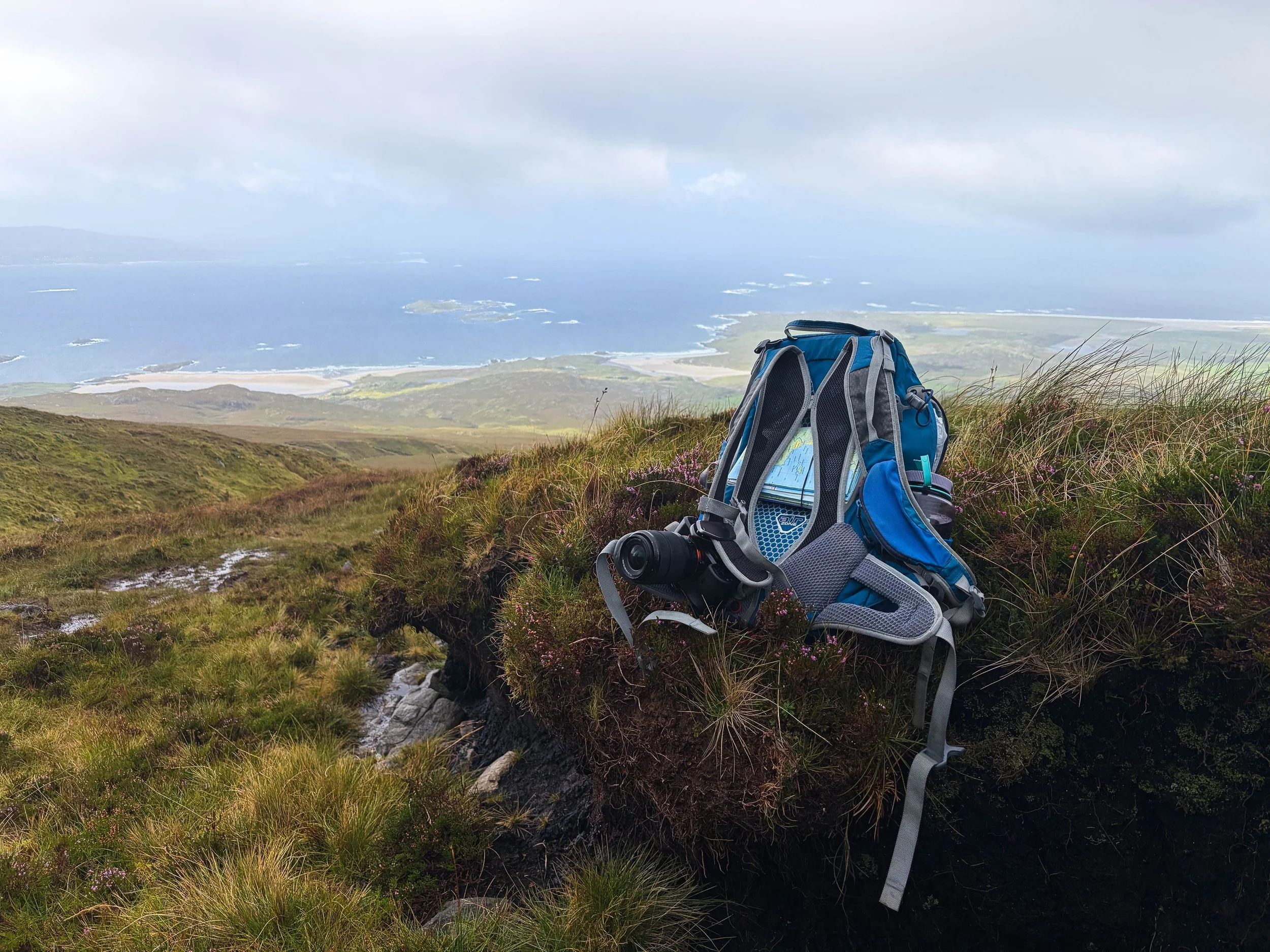
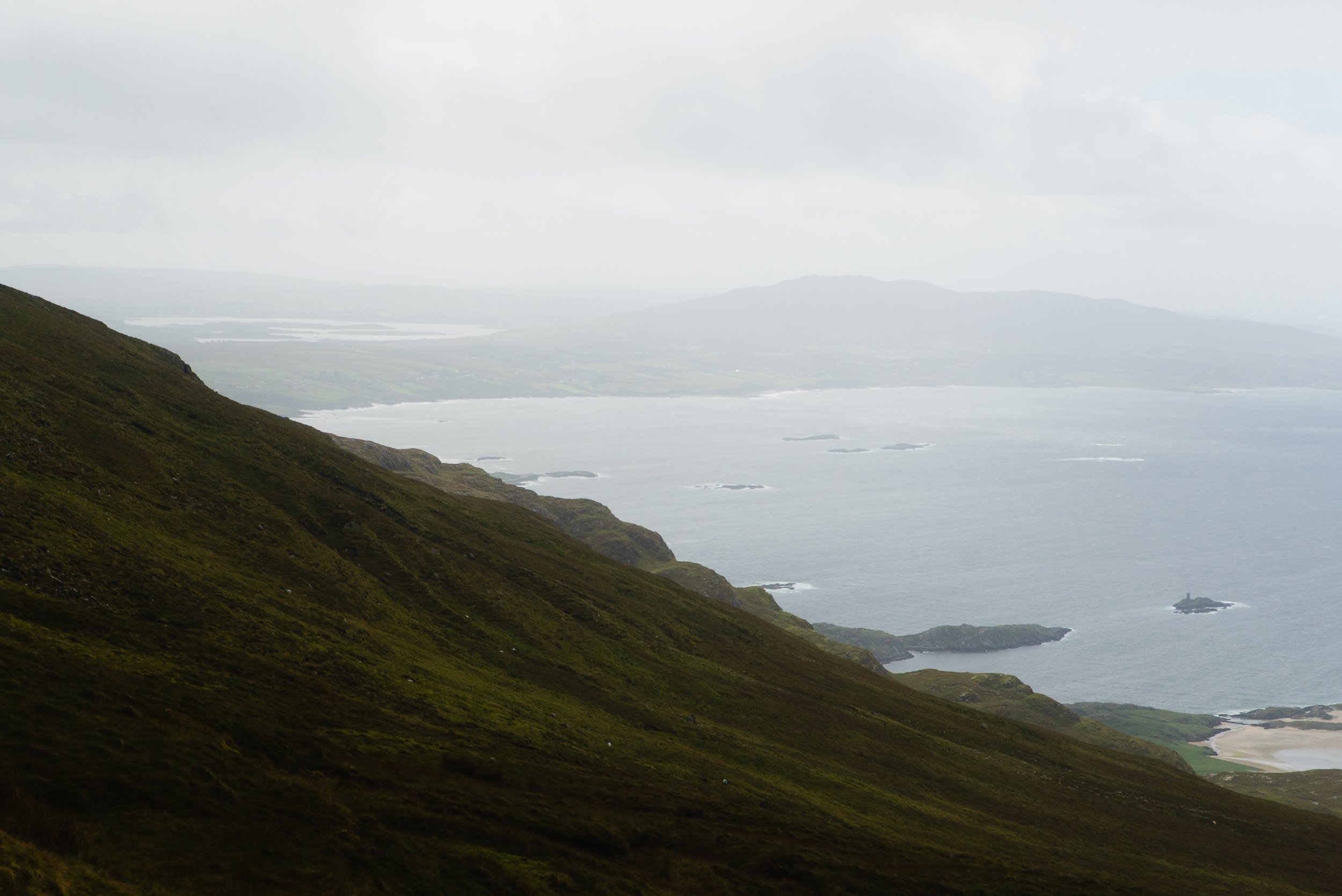
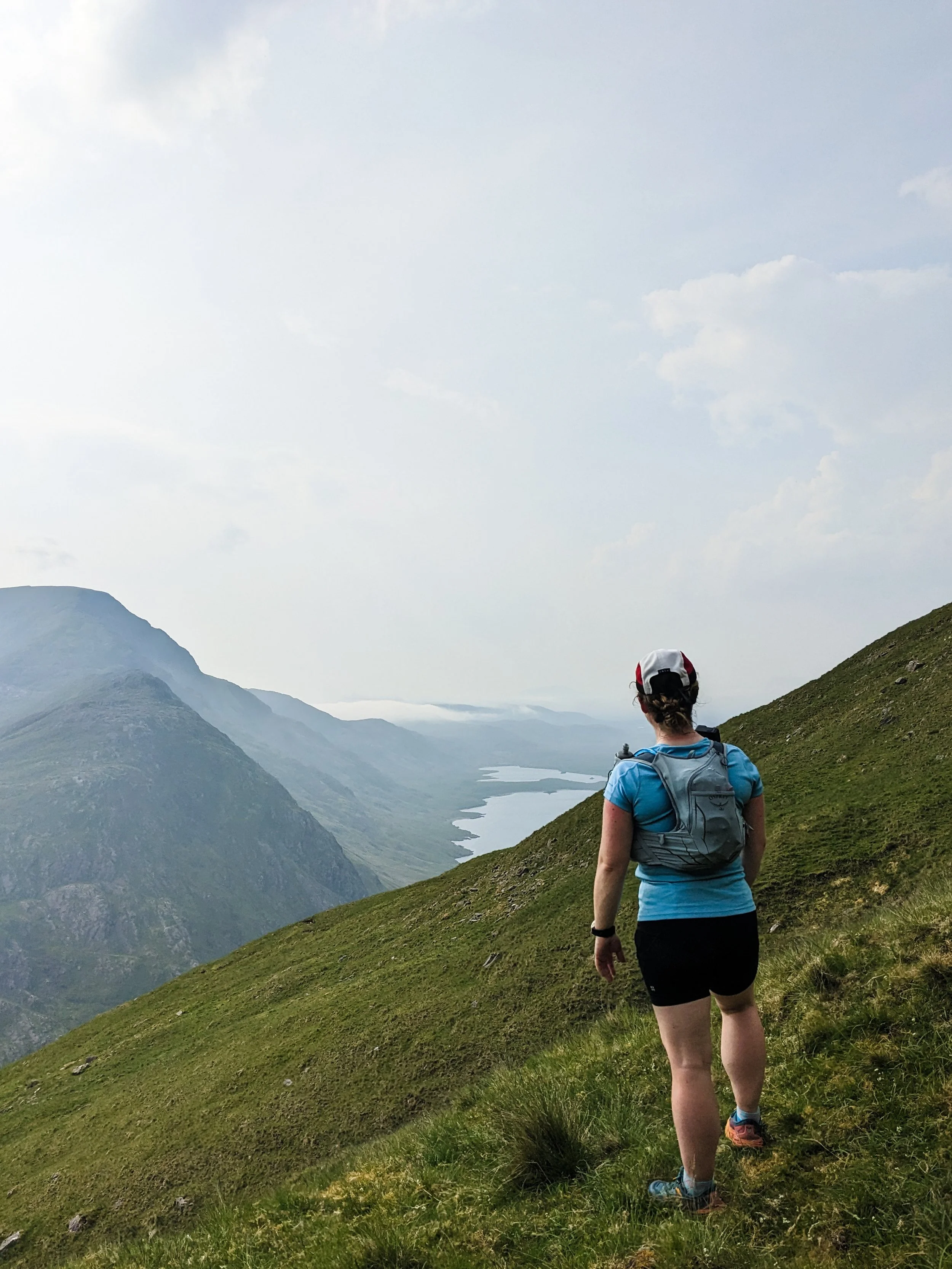
The wind was at least enjoyed by the crows, who swooped and dived on the gusts. A blessing or a curse, the winds were westerly the day I was there, and so as I looked out behind me to the sea, I could see the heavy showers approaching. As I reached approx. 500m evolution, I met two walkers coming down the hill, who were as surprised to see me as I was to see them. We swapped the usual brief greetings, and then continued on in our respective directions.
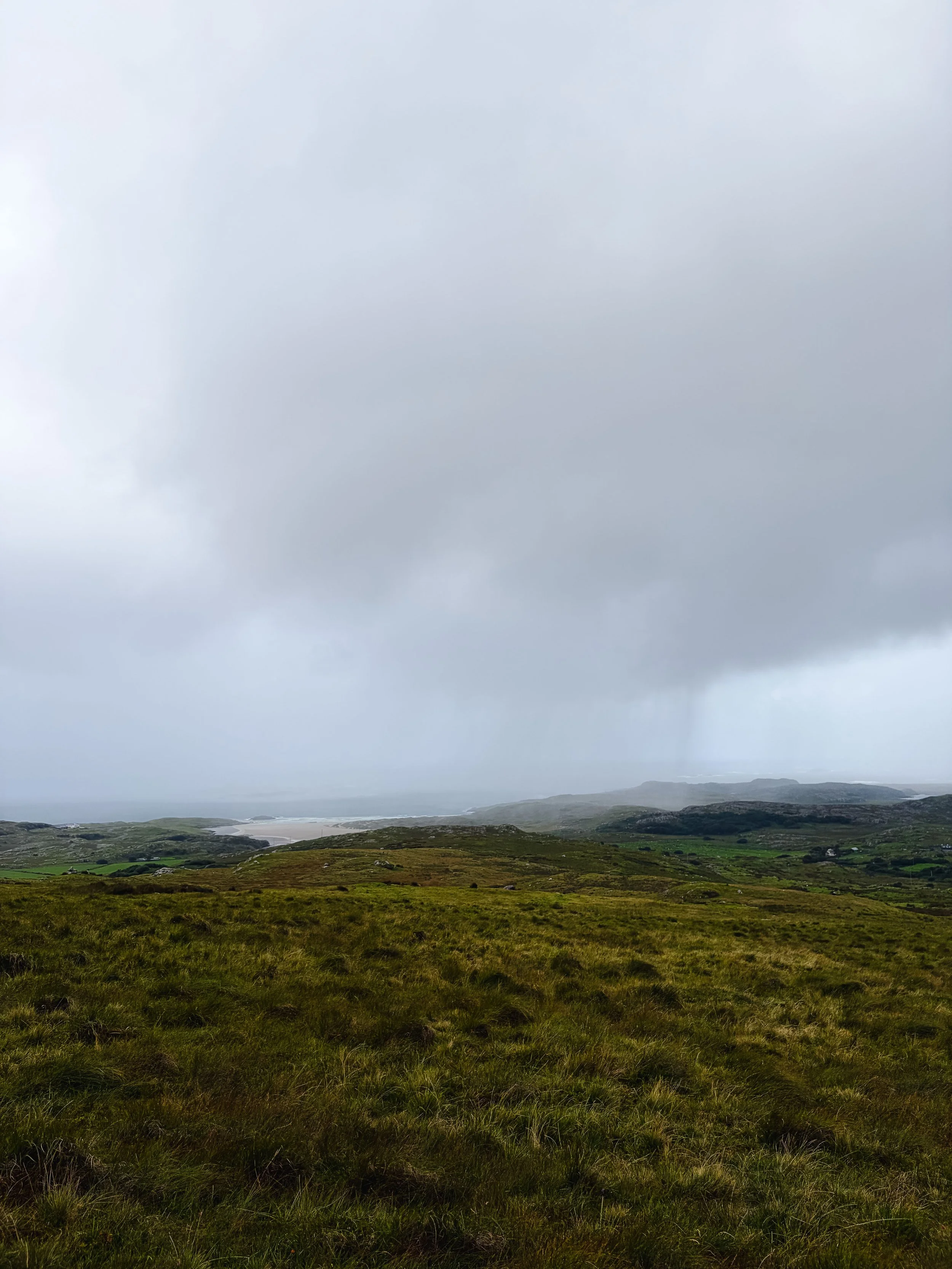
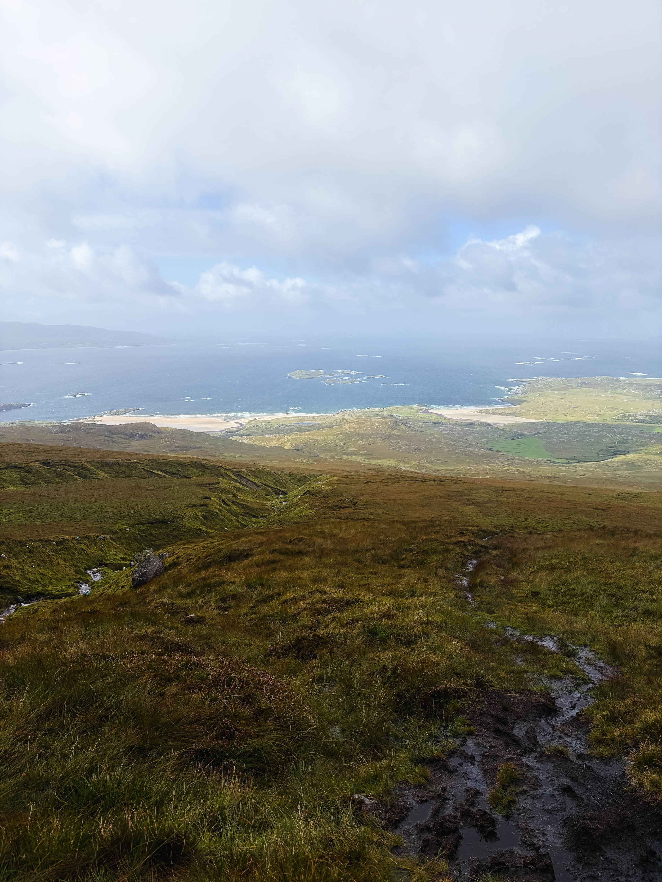
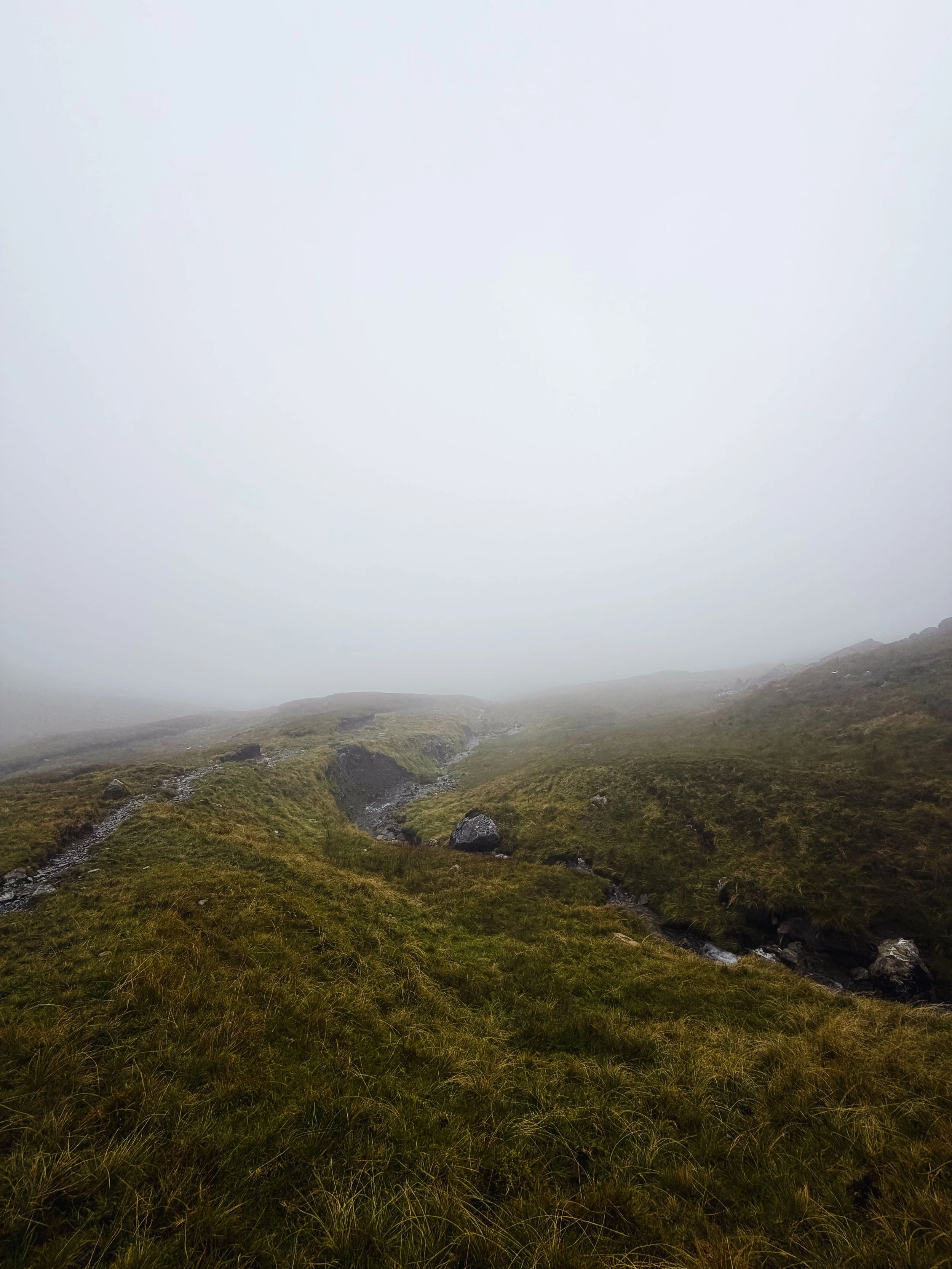
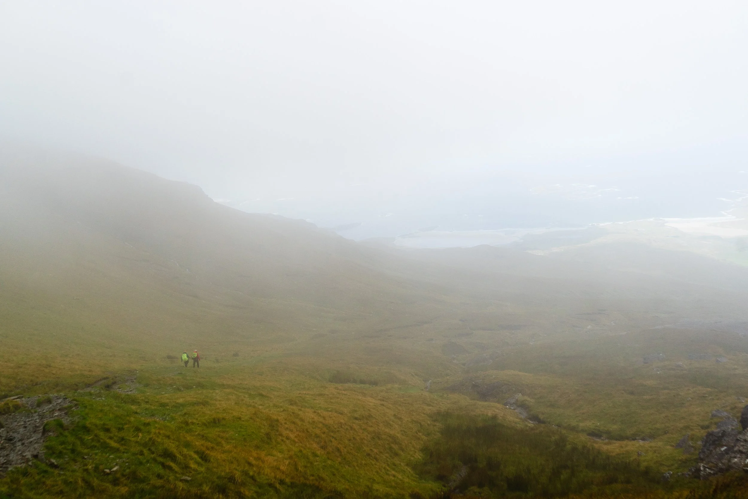
Making it up onto the col between Ben Bury and Mweelrea, the wind howled through. The conditions underfoot here turn more solid, wet bog swapping out for loose stone. Heading a few degrees off of south, this is the more dangerous section of the climb. Directly out east, to your left, are cliffs.
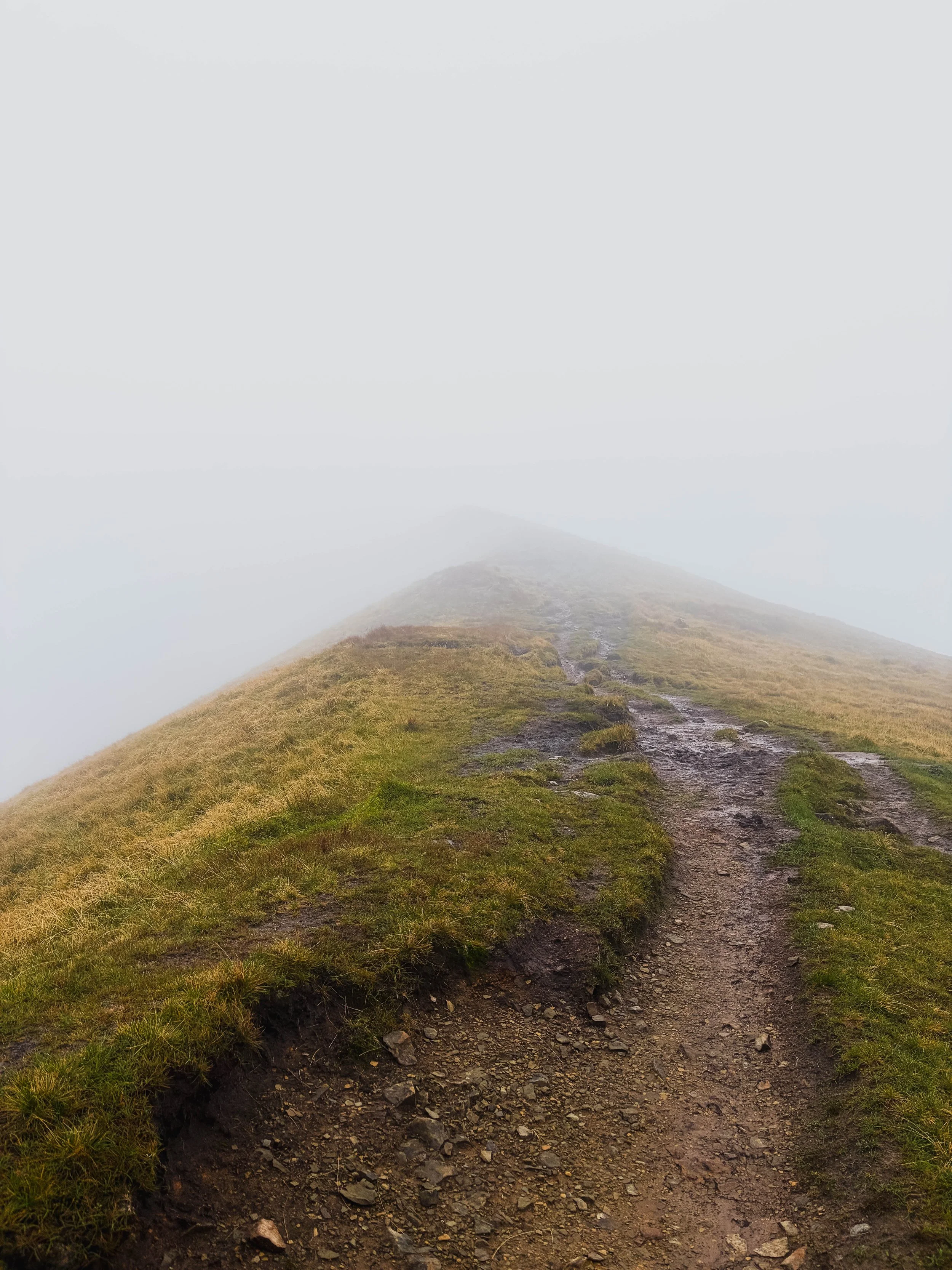
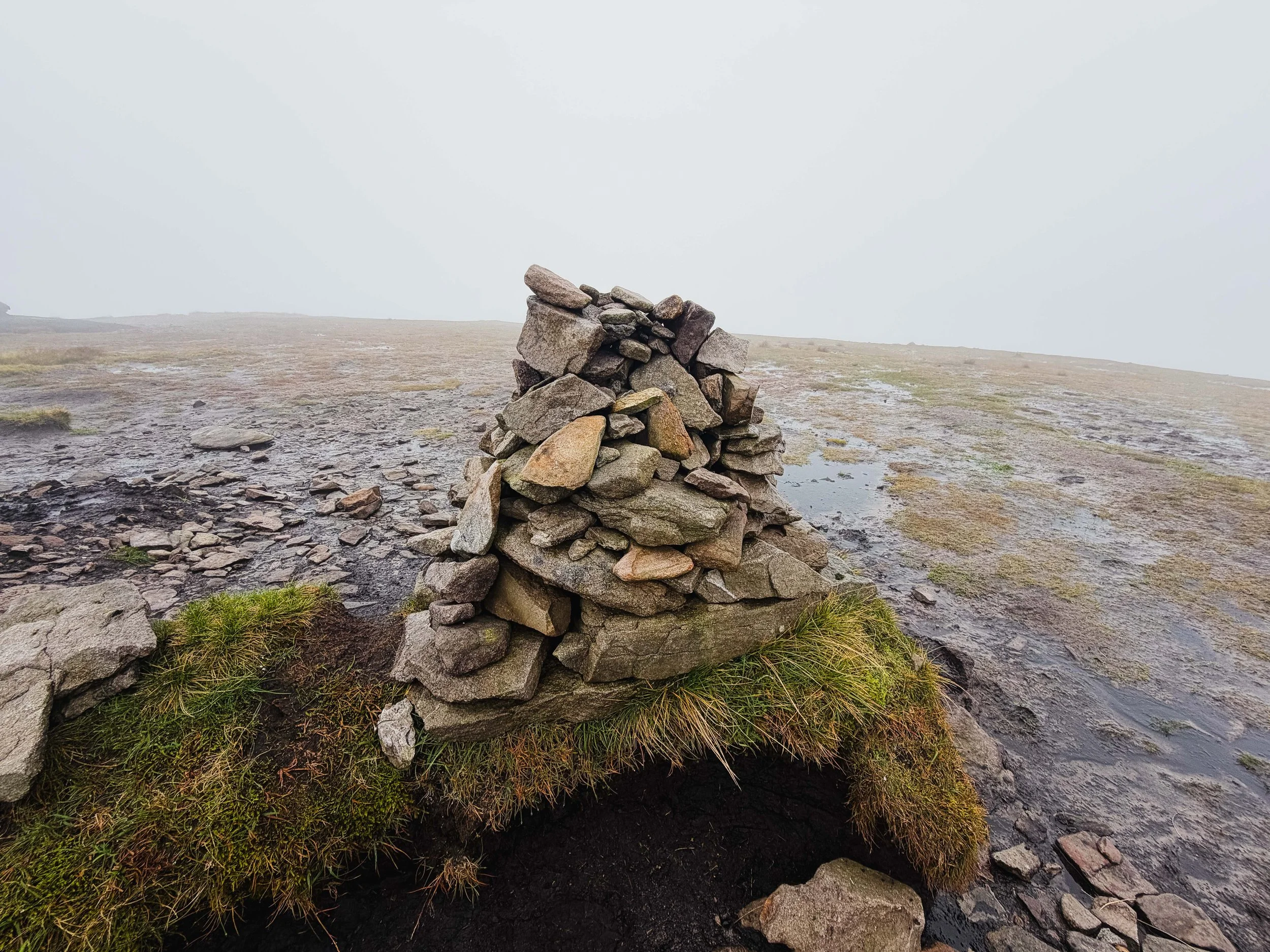
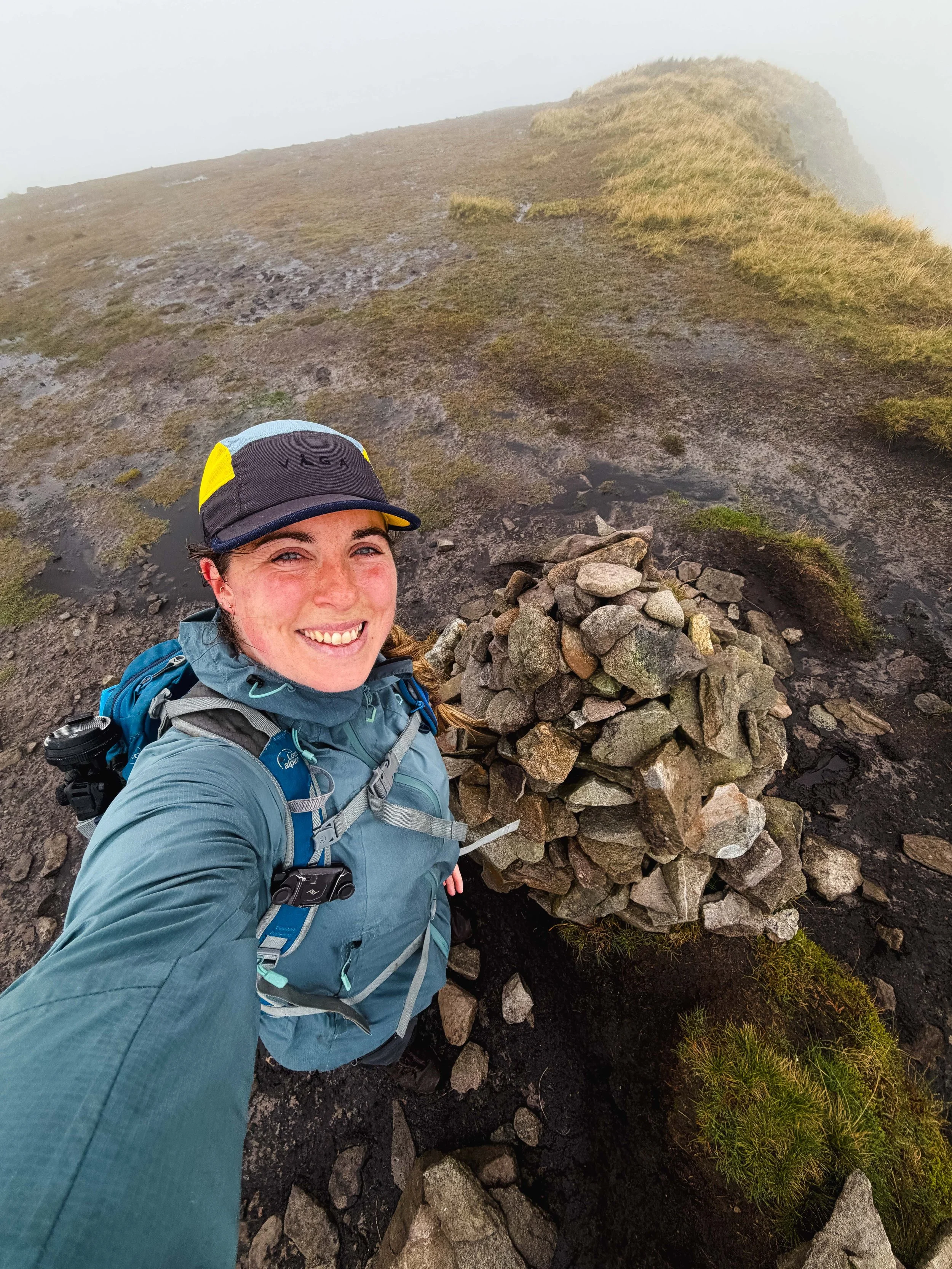
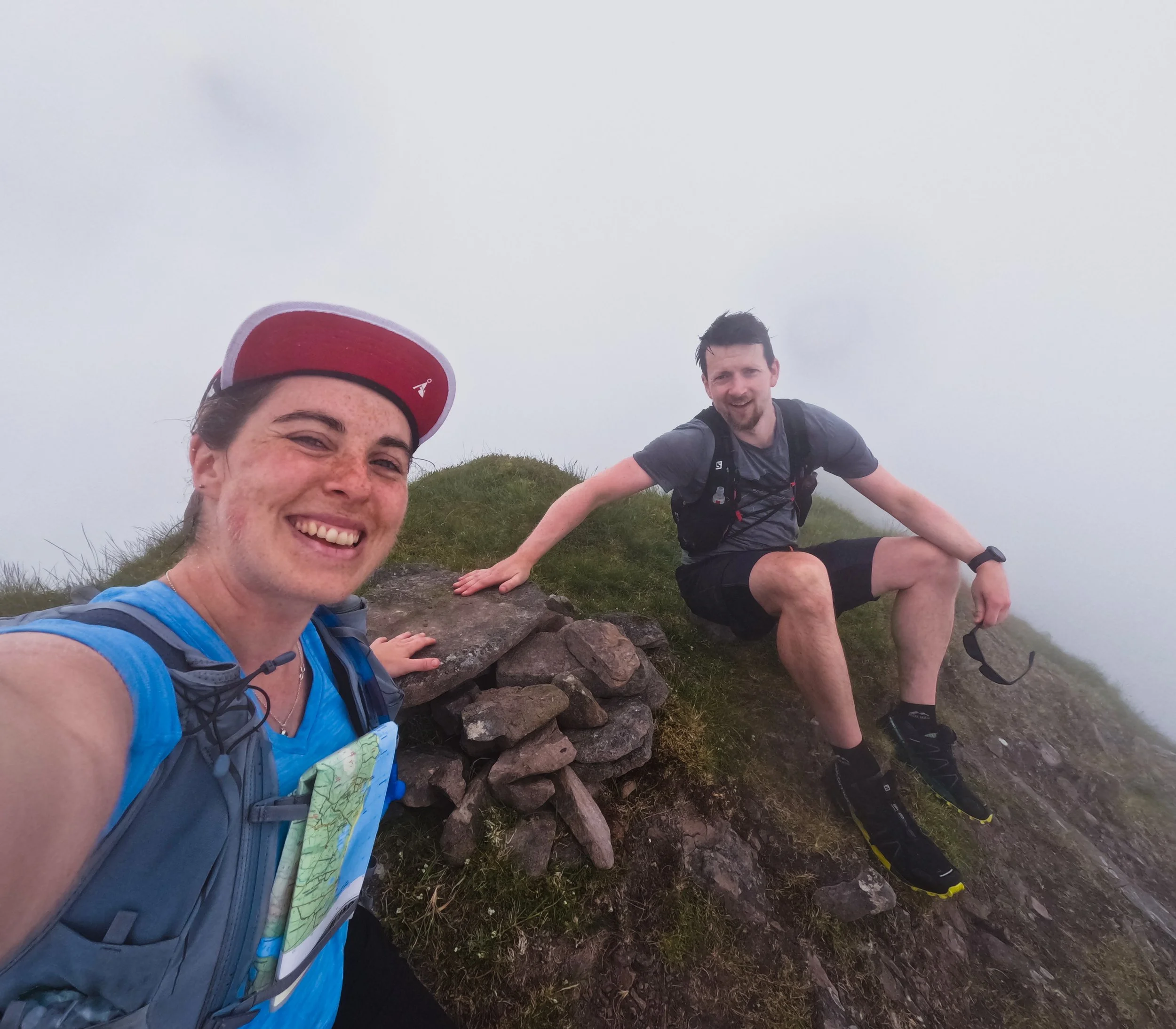
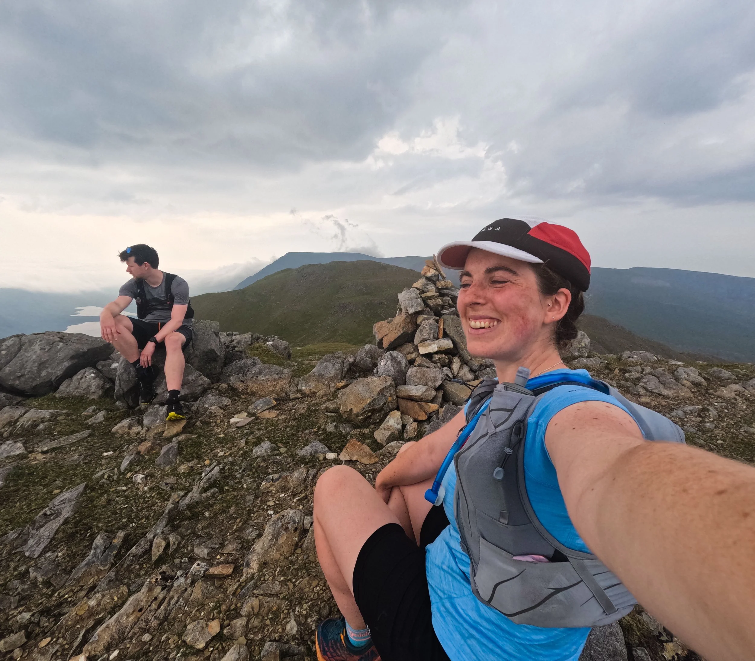
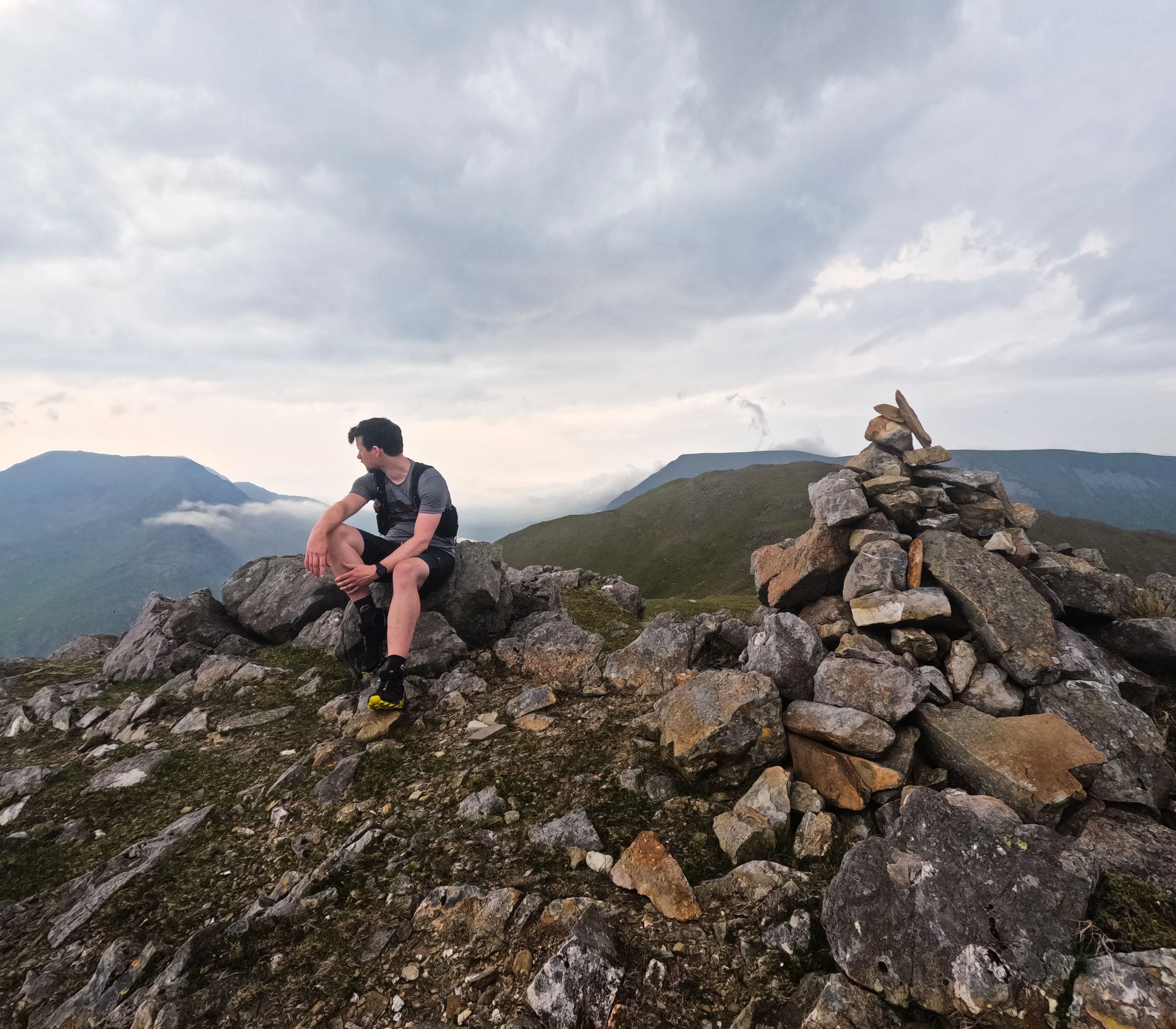
The summit area is quite rounded and wide, with a small pile of loose stones stacked to mark it. Sitting on the leeward side of this tiny mound, the shelter was unexpectedly good. I ate a quick snack, appreciated the elements, and retraced my steps down the mountain.
This is not the only time I’ve visited this faraway peak. The first time I climbed Mweelrea was the summer of 2023, as I worked my way around Ireland on the Vandeleur-Lynams Project. I summited it, and the other peaks that make up the ridge here, in very similar conditions. That day I had the wonderful company of my friend Ciaran, who joined Carl and I for a full week of this mountain adventure.
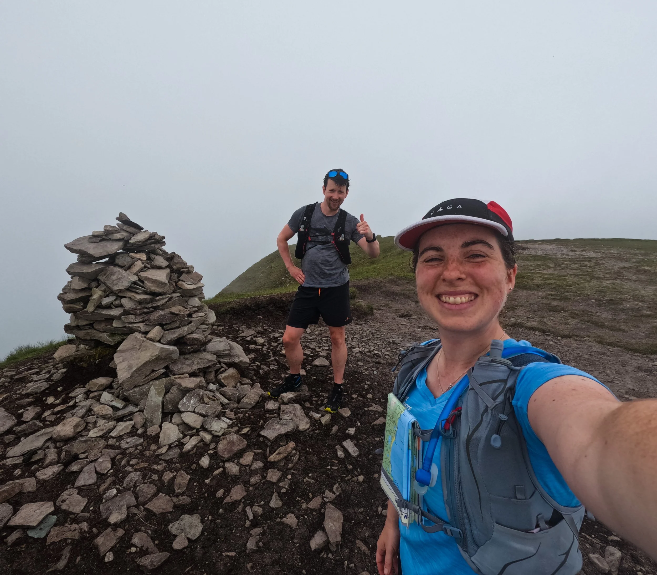
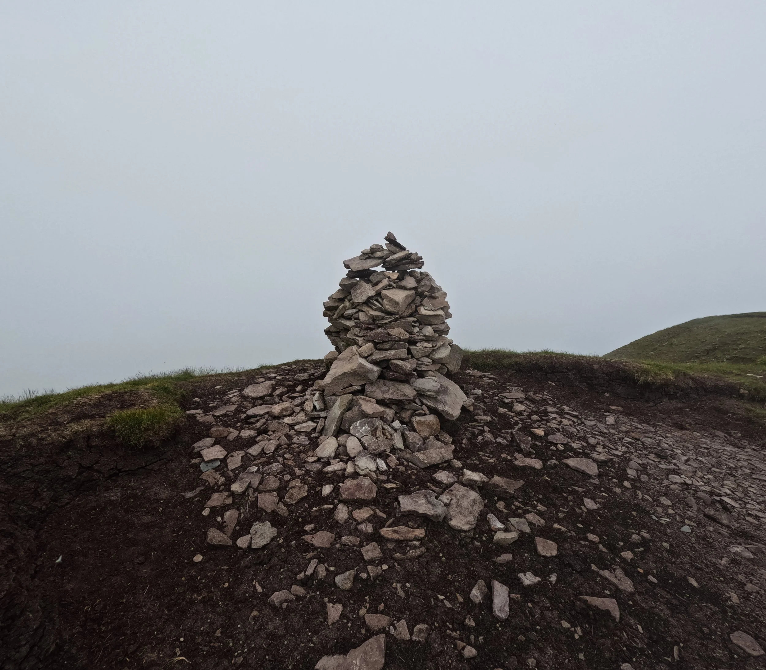
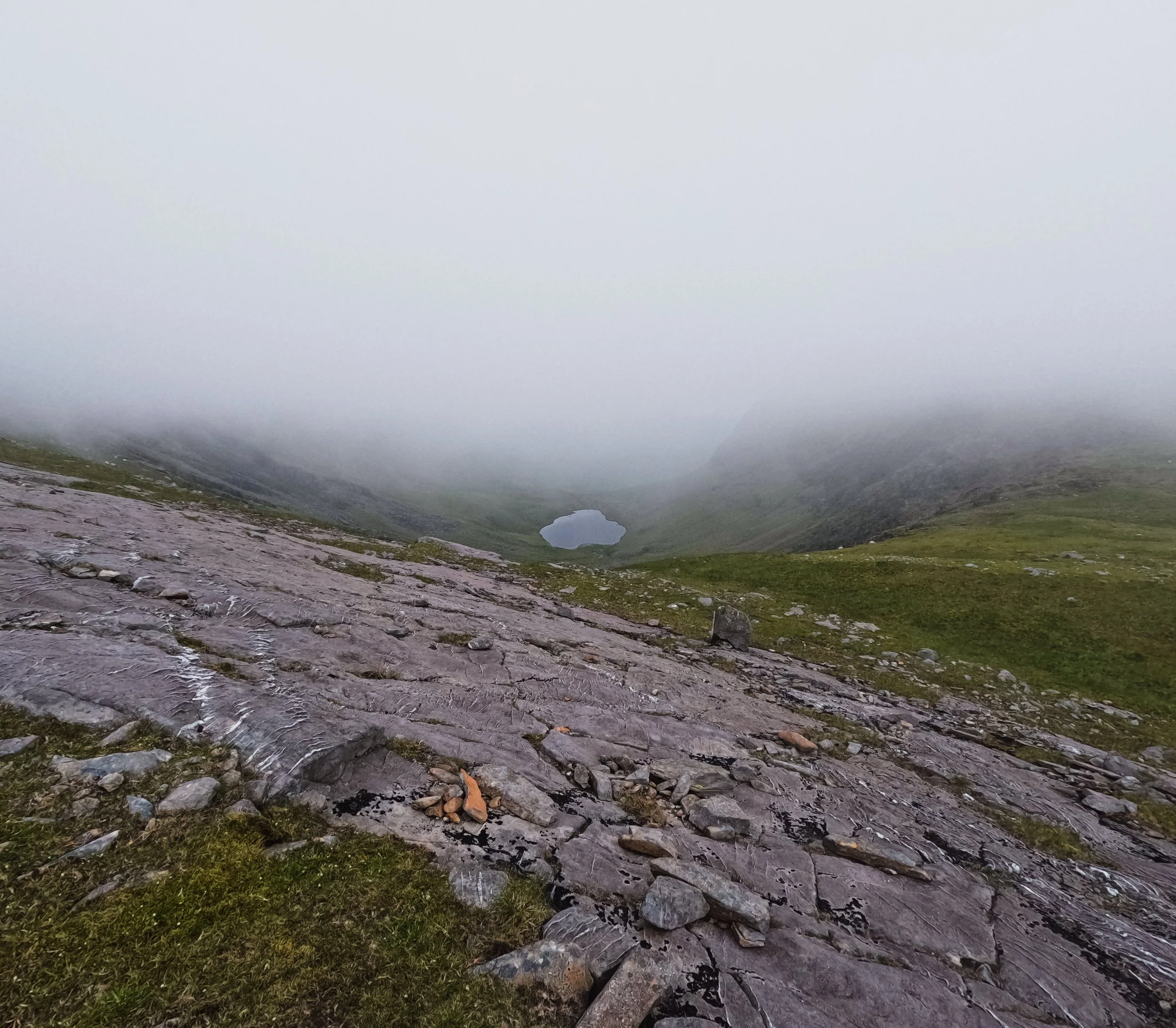
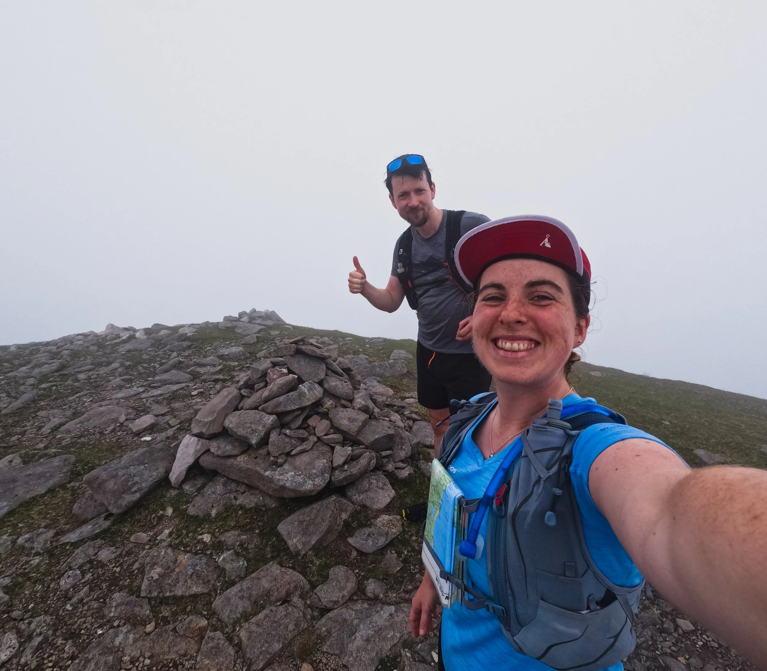
However, the moment that will stay with me forever was a view of this mountain from the evening before.
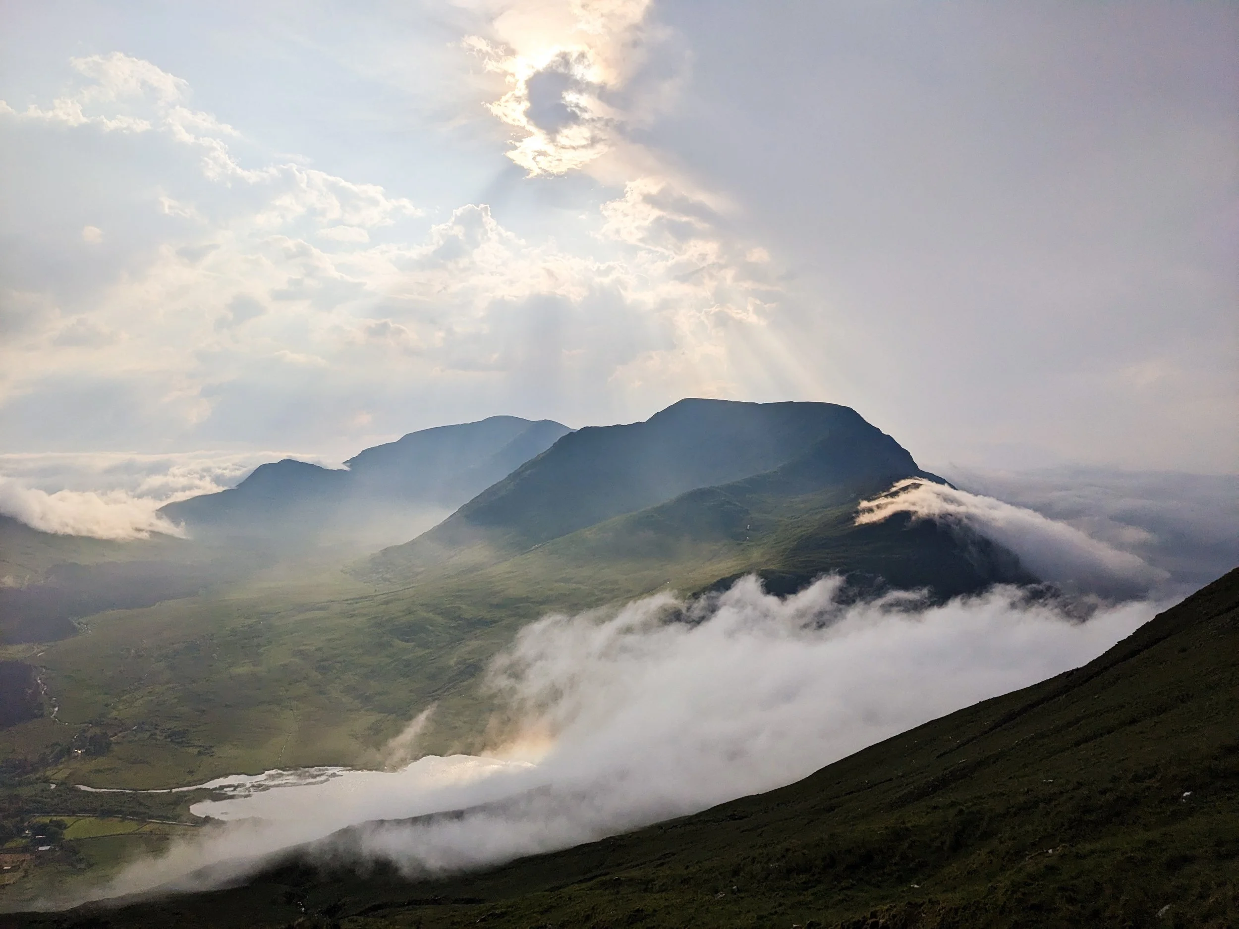
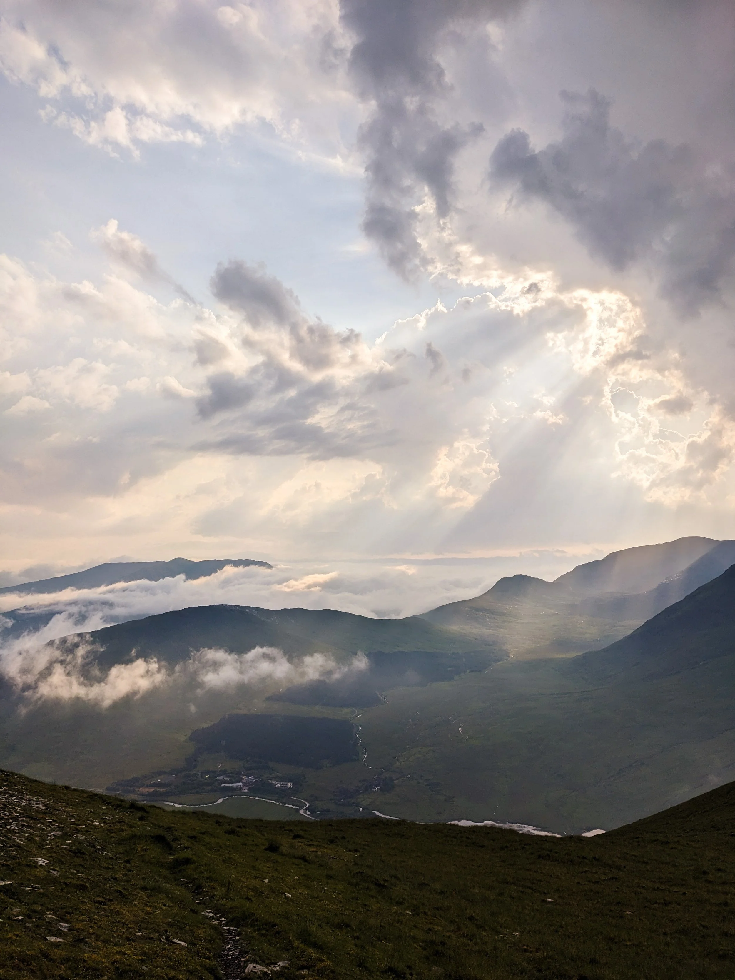
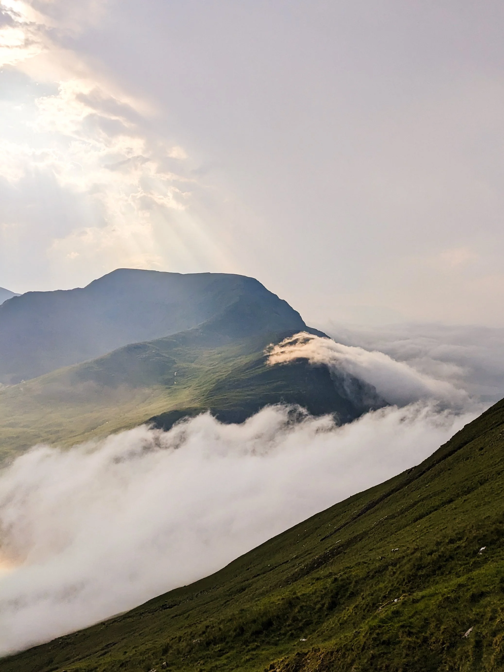
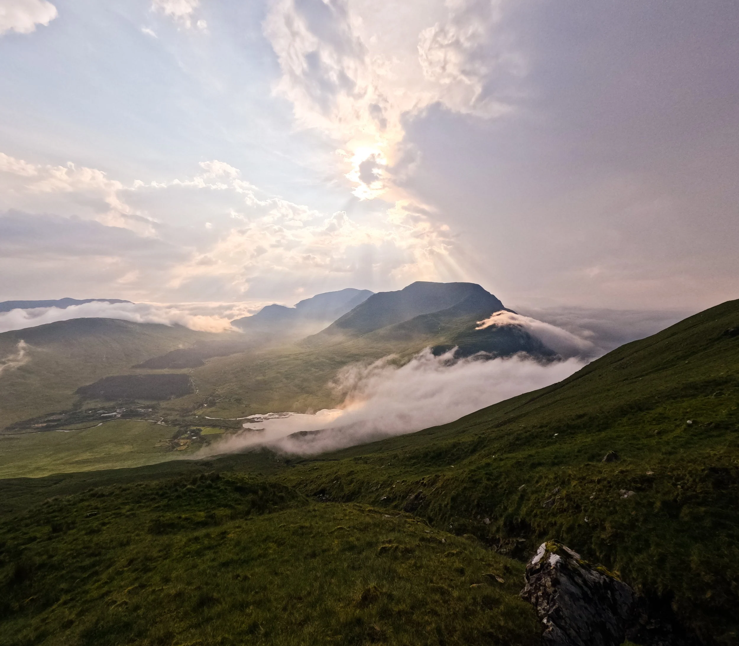
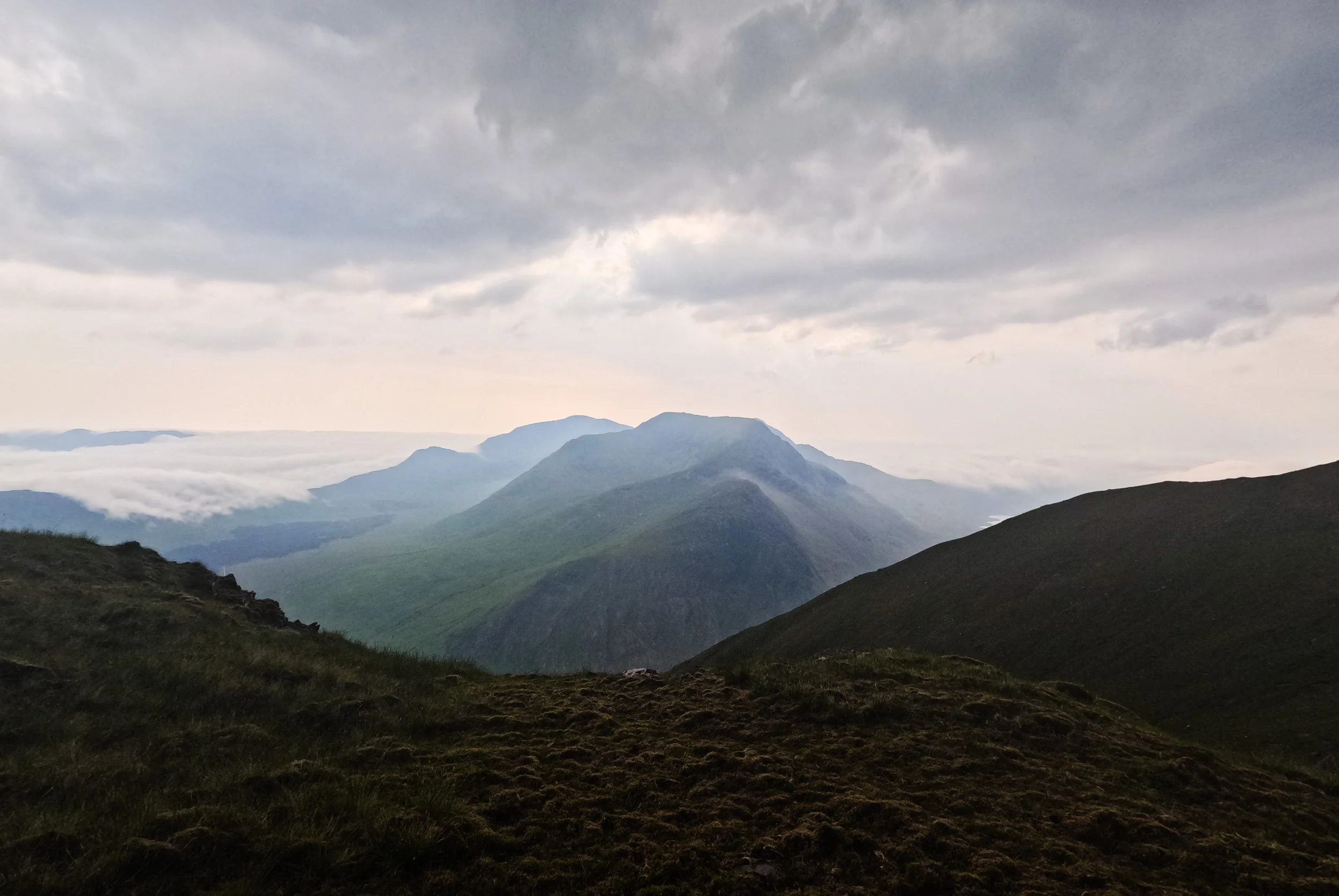
I was climbing Ben Gorm and the others across the valley. I hadn’t done many of the summits in Mayo before, and so I didn’t realise I was witnessing the best conditions over on Mweelrea - better than I could ever wish for. I had spent the morning on the other side of the fjord, doing the long walk in for Leenaun Hill in heavy, muggy weather. It was shaping up to be an extremely wet and stormy summer, but in that moment I was only trying to move through some oppressive heat. That evening, we picked up Ciaran and moved around to the north side of Killary. It was a cloudless day, and as the sun began to dip, gentle fingers of clouds crept in from the Atlantic and reached up over the shoulders of mountains. The colours of the sky, the textures of the clouds, and the shadows of the mountains created a painting no phone camera could ever do justice.
Looking back on that evening, I now know how special a moment I was witnessing - and only a little bit regret that I wasn't across the valley for such a magical moment.
Further exploring
Find all the County High Points here, and all the trails by county listed here.
Other trails in the area:
Keenagh Loop: Mayo.ie info
Viewpoints and beaches to visit:
Silver Strand for a post mountain swim
Doo Lough Valley Viewpoint - one of my favourite Wild Atlantic Way viewpoints (Google Maps)
Old Head Beach and Bertra Beach for more stunning beaches
Favourite Local Coffee / Food Options:
This Must be the Place, Cafe in Westport
Melody’s Bew, coffee horse-box