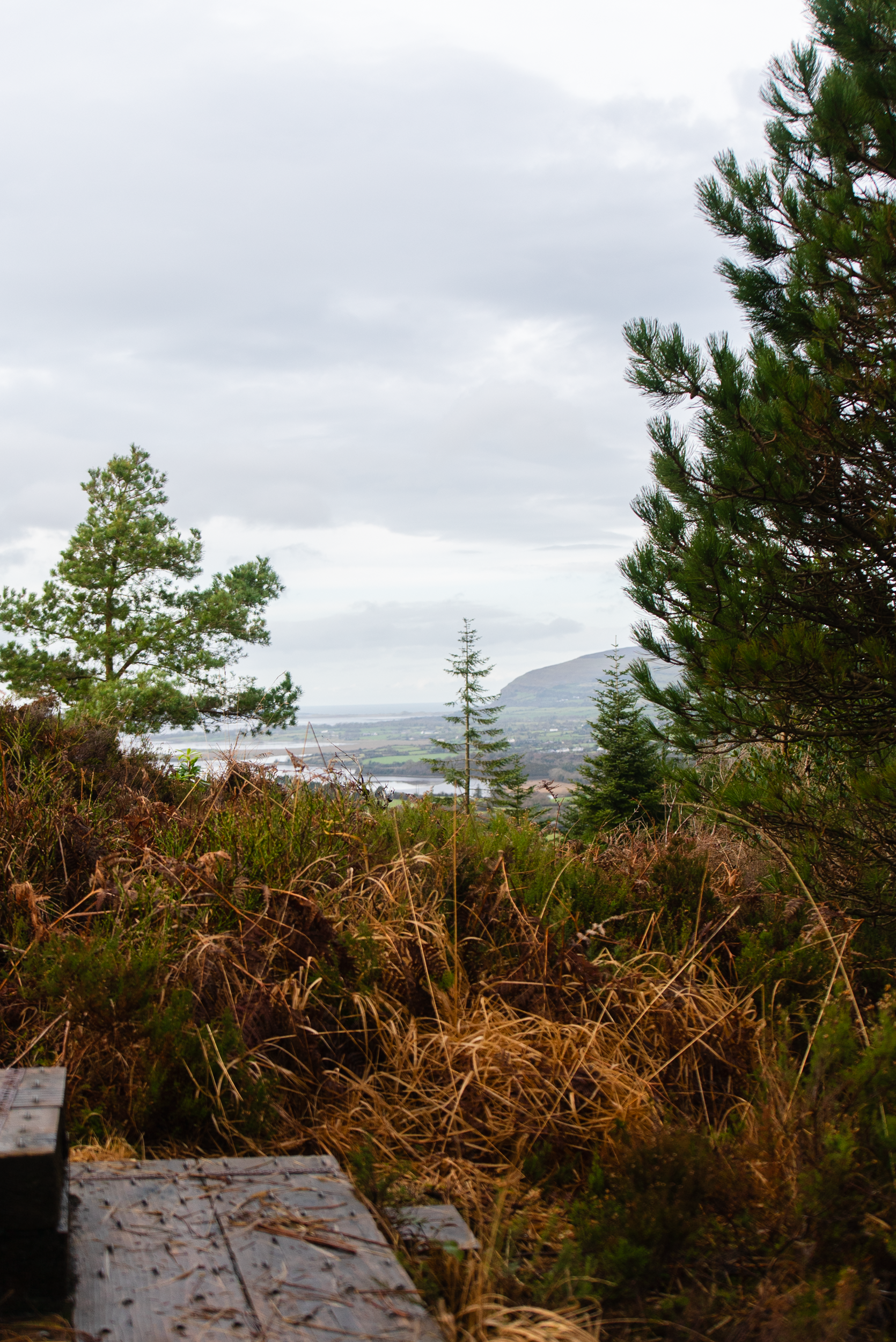
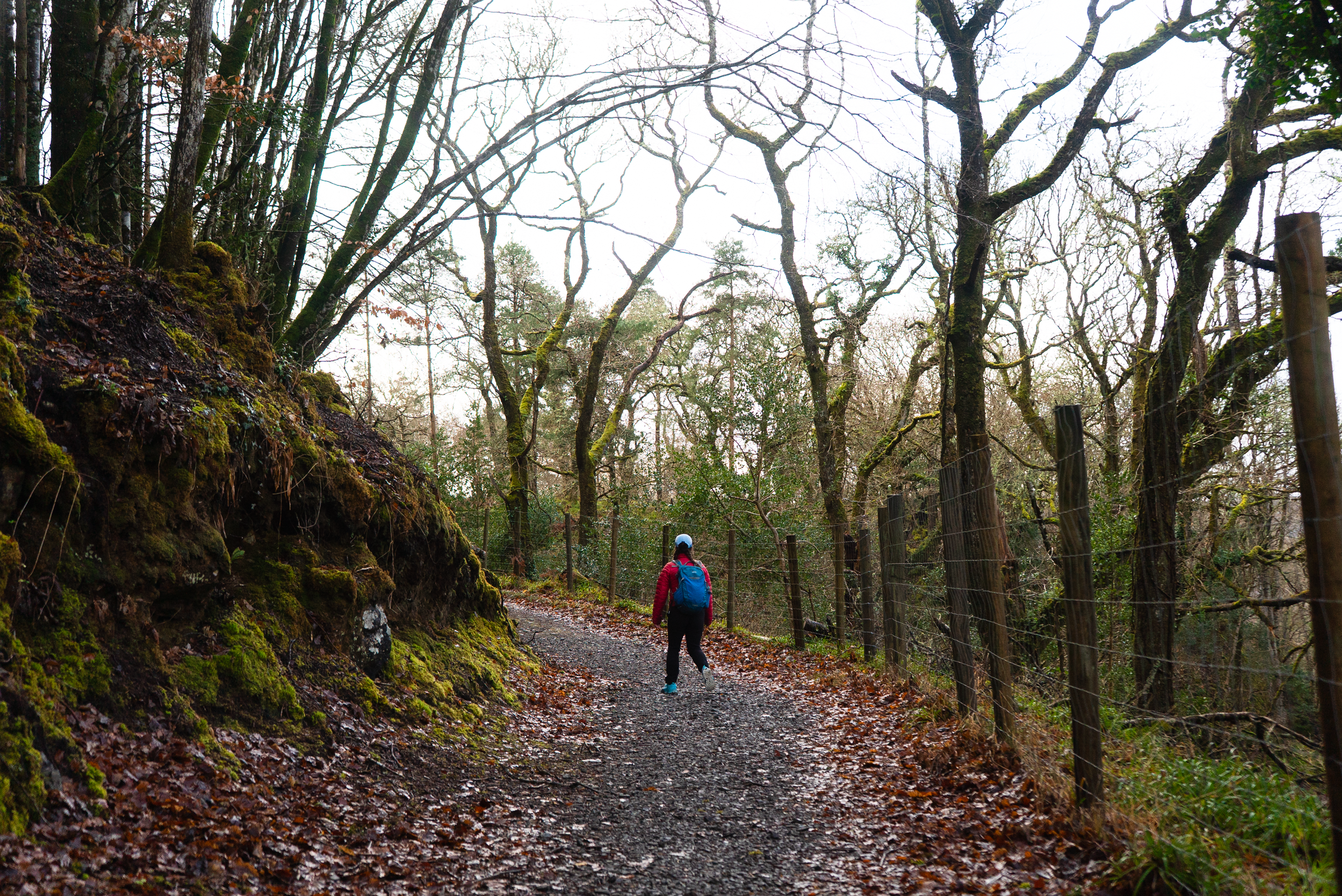
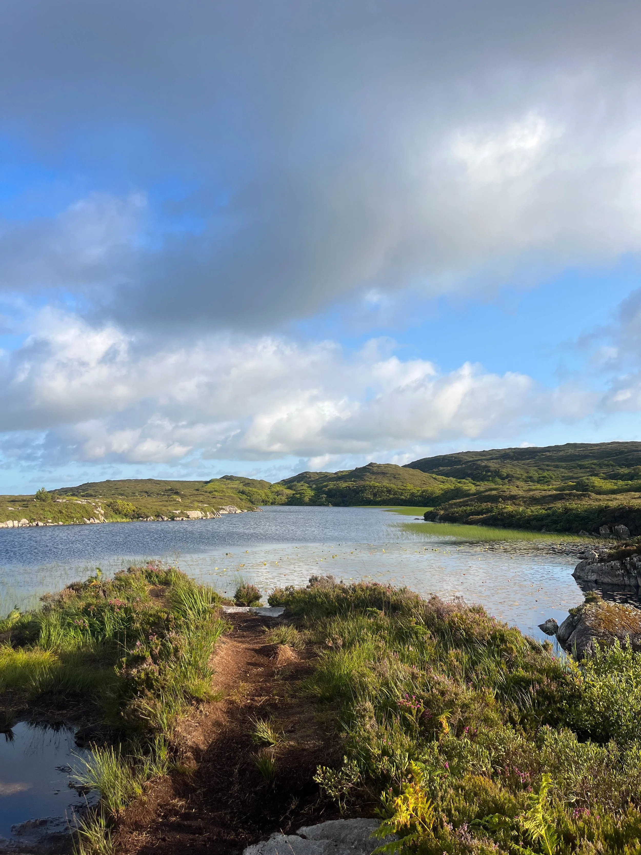
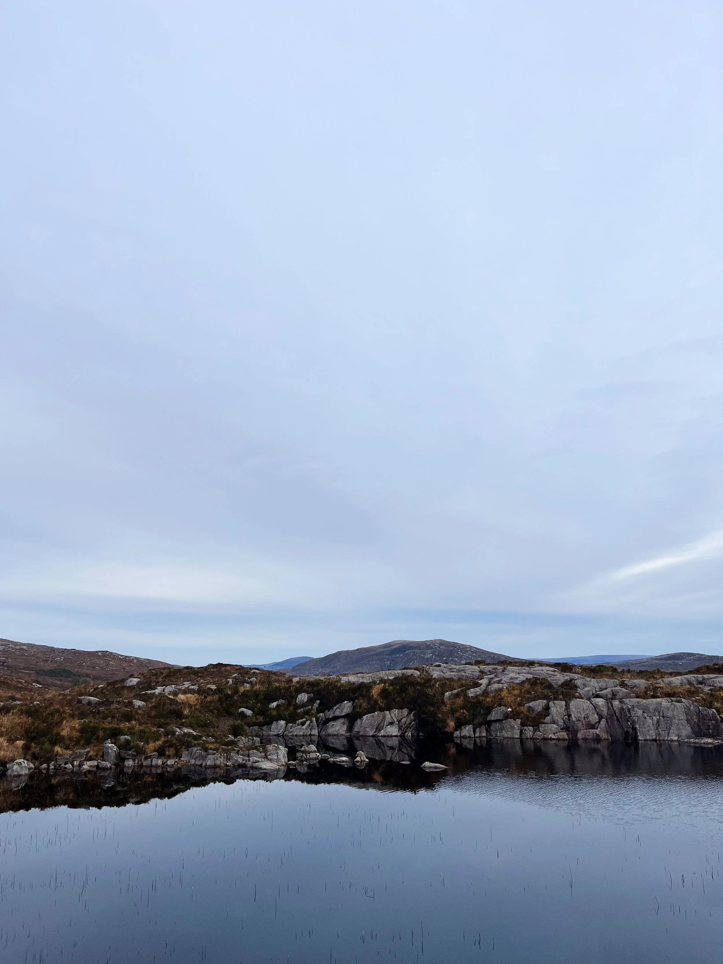
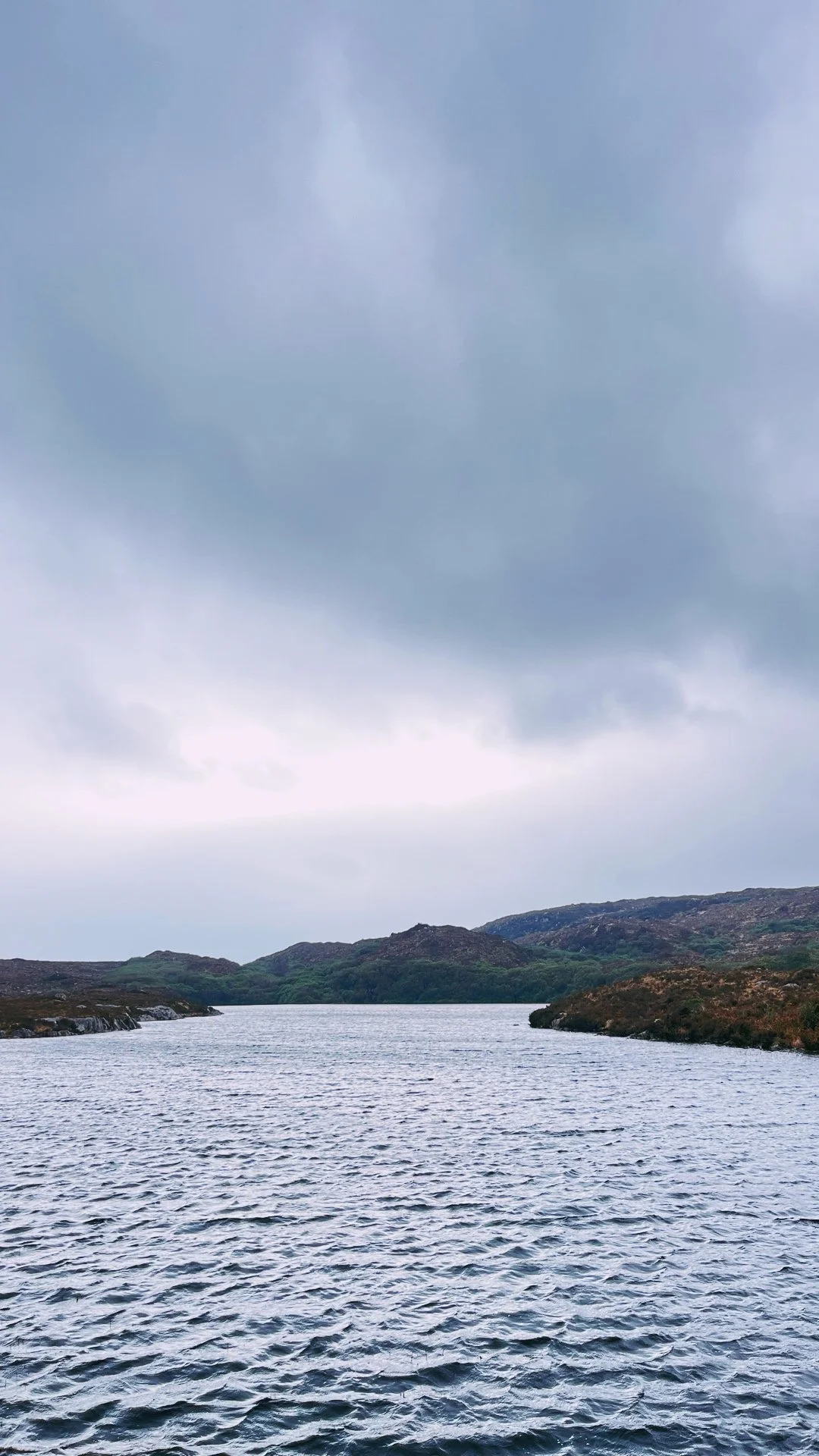
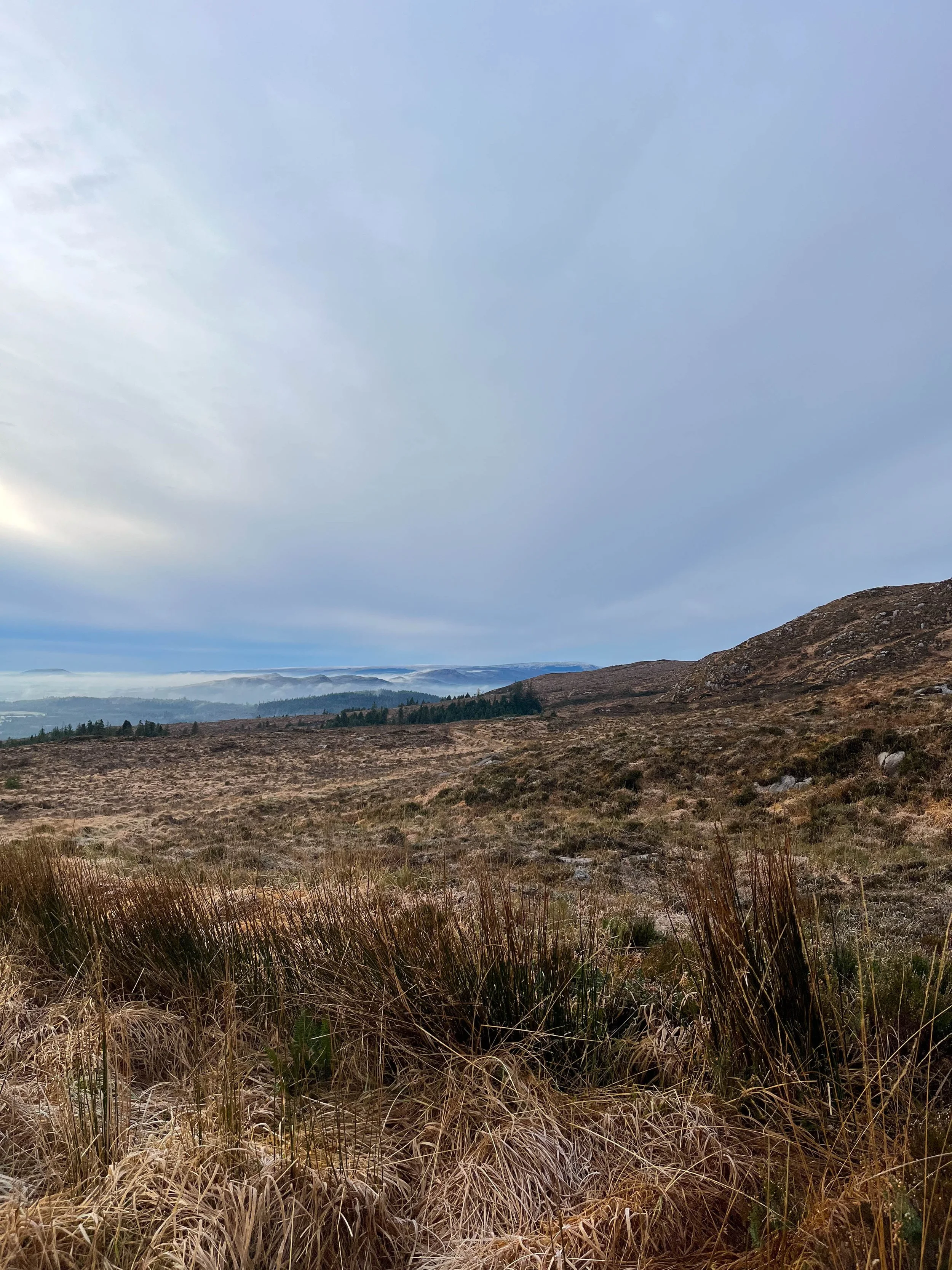
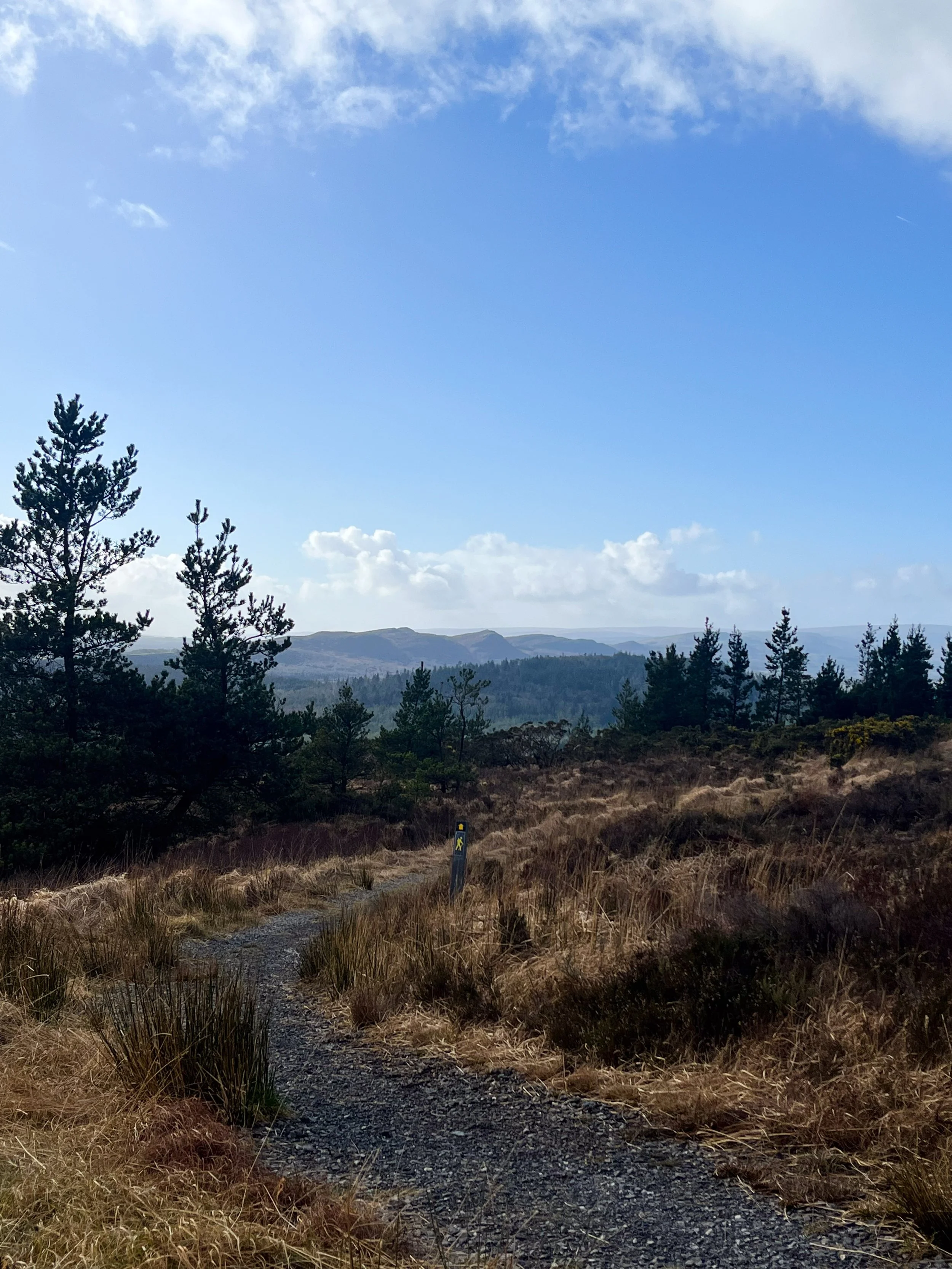
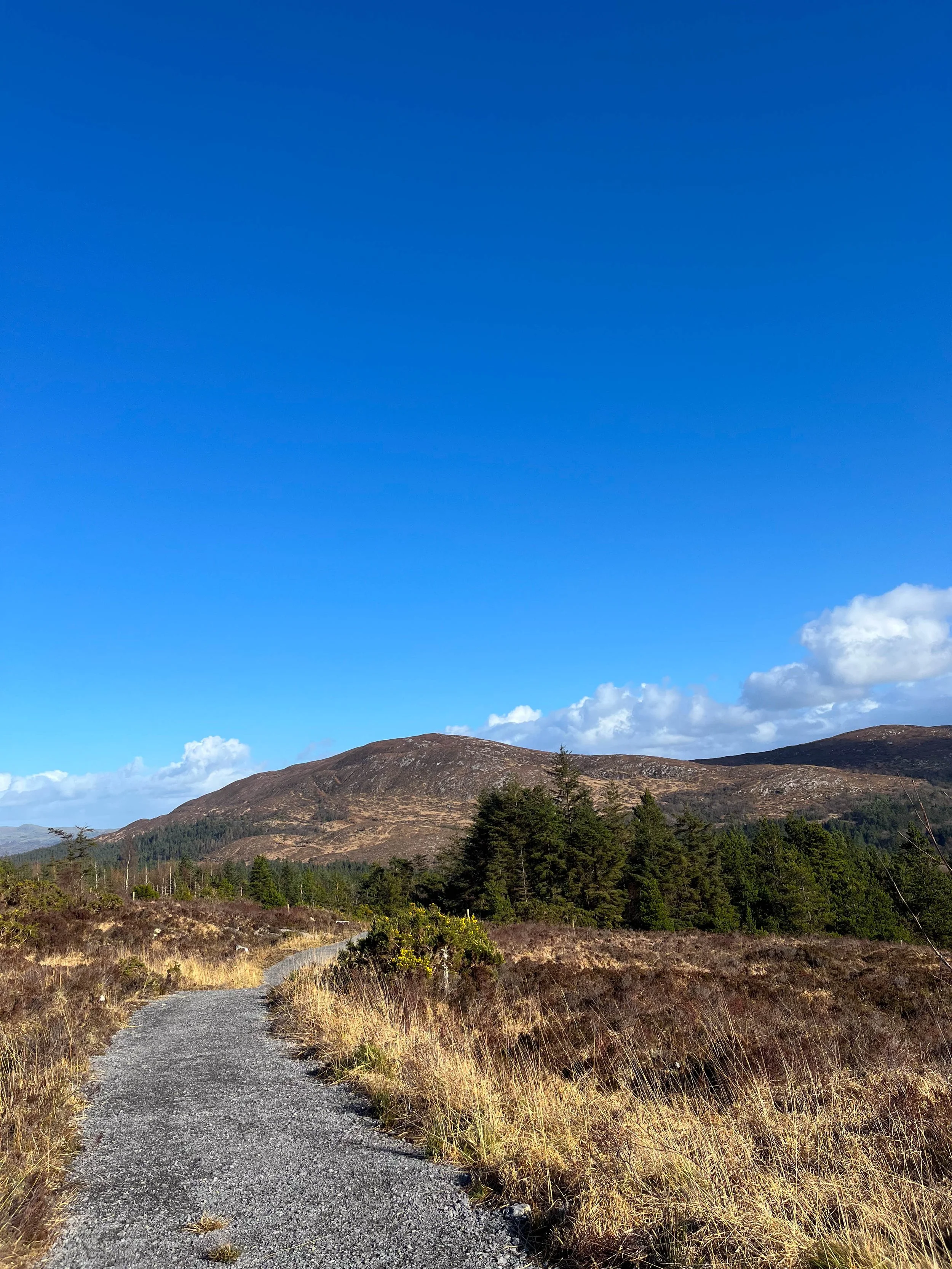
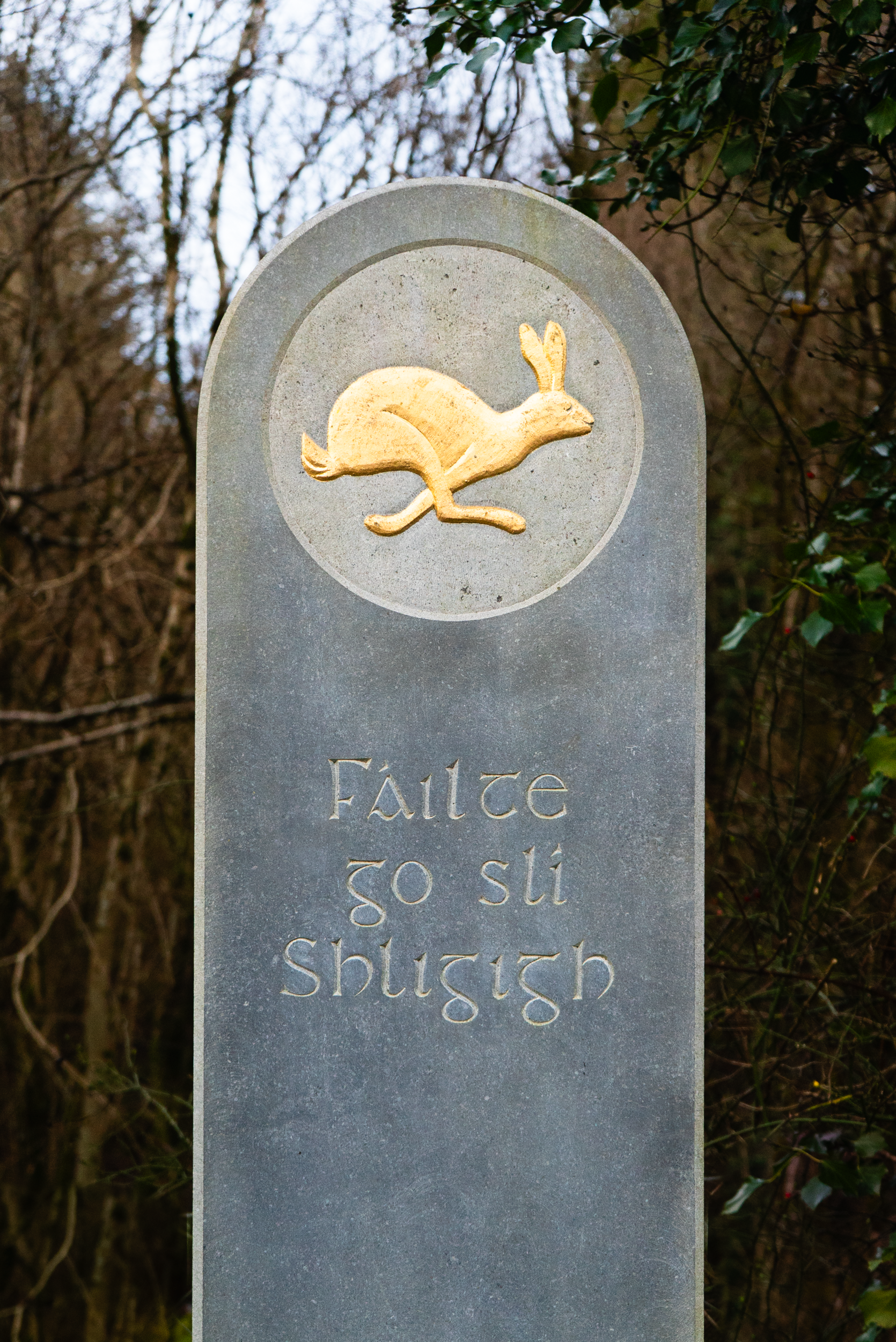
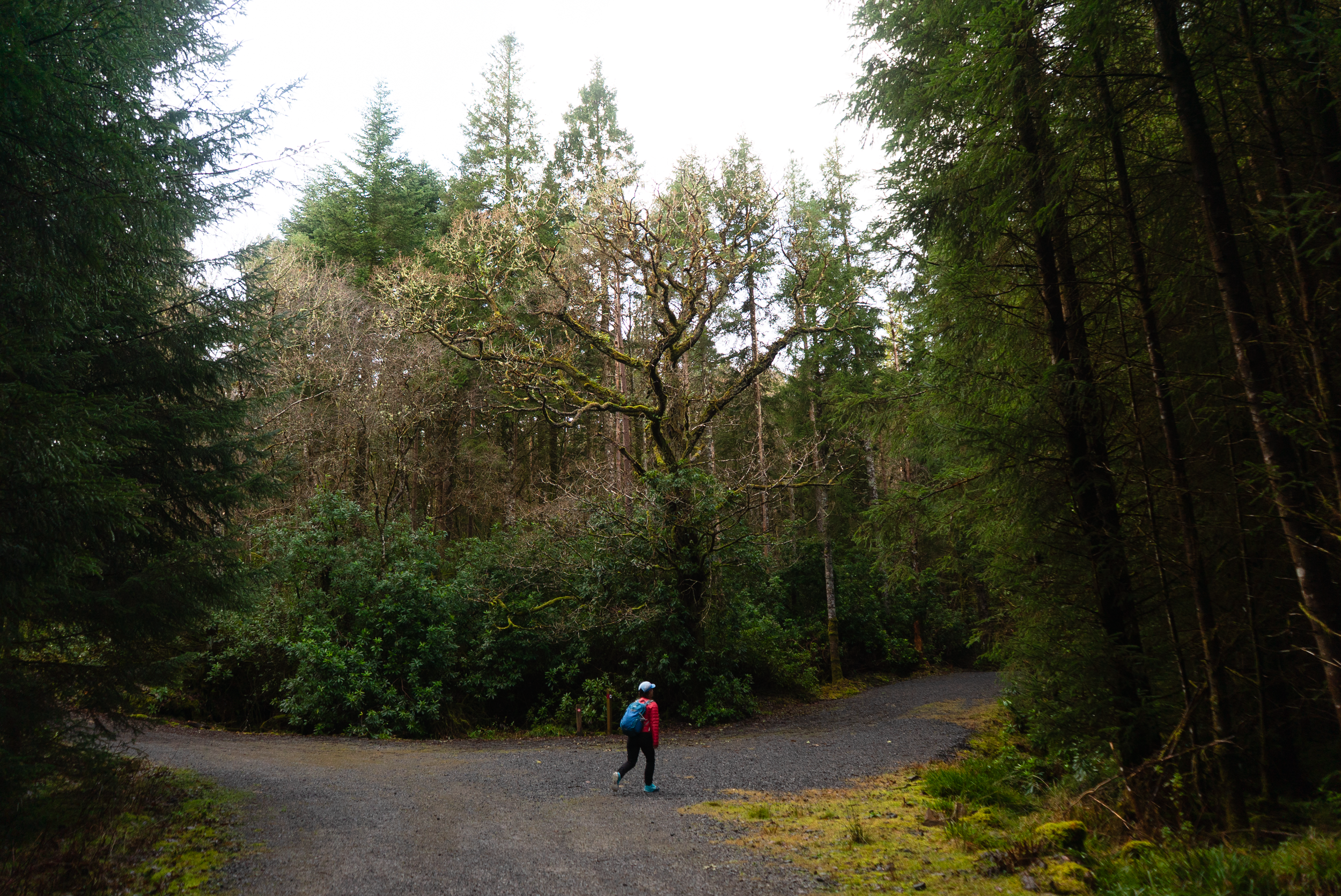
Union Wood is a small forest that sits between the villages of Collooney, Ballysadare, and Ballygawley, with a mixture of old native woodland, and more recent active forestry. This place is teeming with wildlife - as well as walkers, cyclists, horse riders, and families. Let me take you on a tour…
Overview
Distance: there’s a variety of trails, on this walk I specifically walked the Union Rock route of 5.5 km
Time: 1 - 3 hrs, depending on route, fitness, and how often you stop to take in the views.
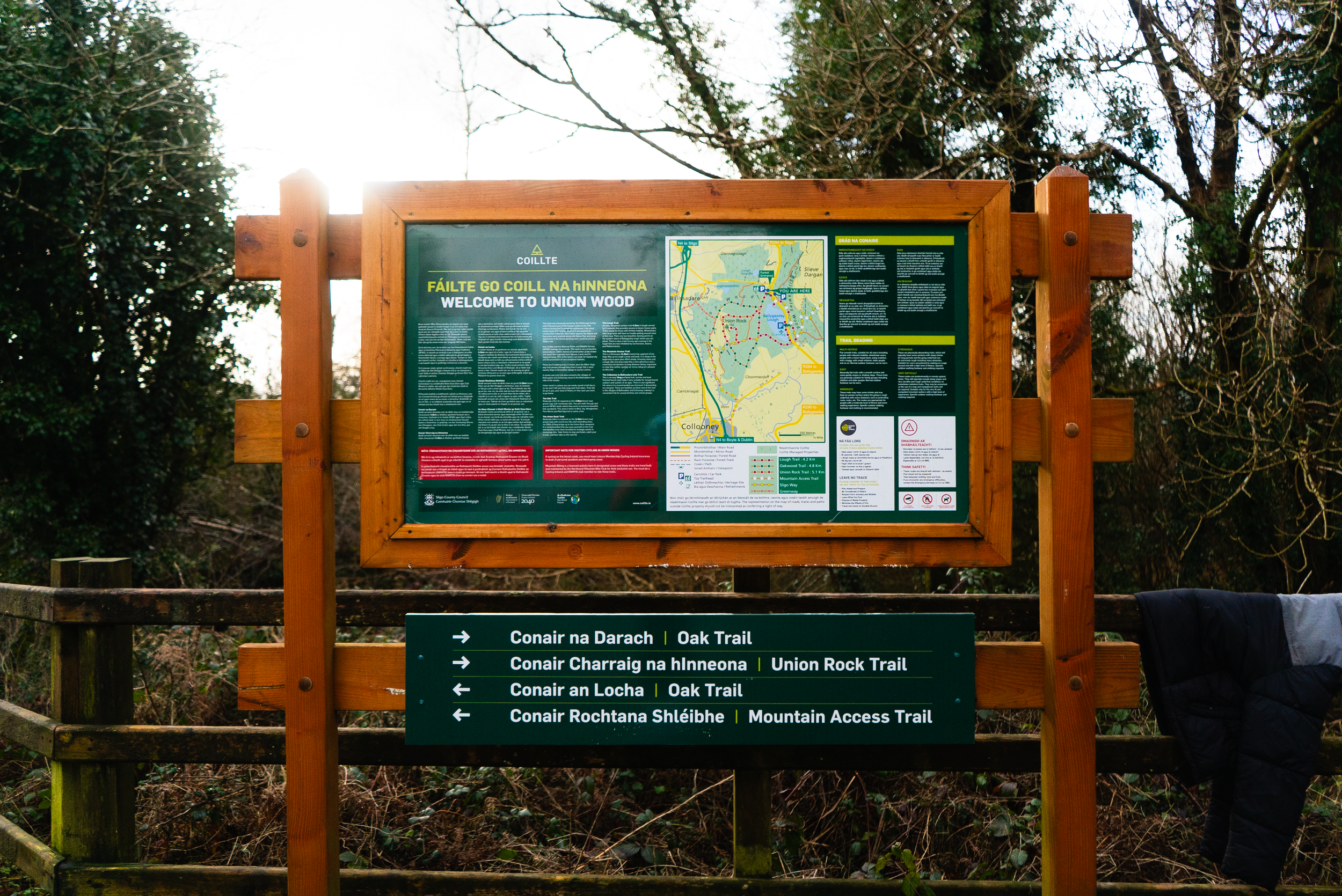
However, I quite liked how the info board at the main car park answered this question: Union wood is a place you can easily spend a half day in, so we won’t tell you how long each trail takes. That will be up to you, your level of fitness, or how soon you want to go home.Parking:
Car Park A: main car park (very limited phone coverage here)
Car Park B: new second car park
Car Park C: Ballysadare entranceTrail difficulty: Easy
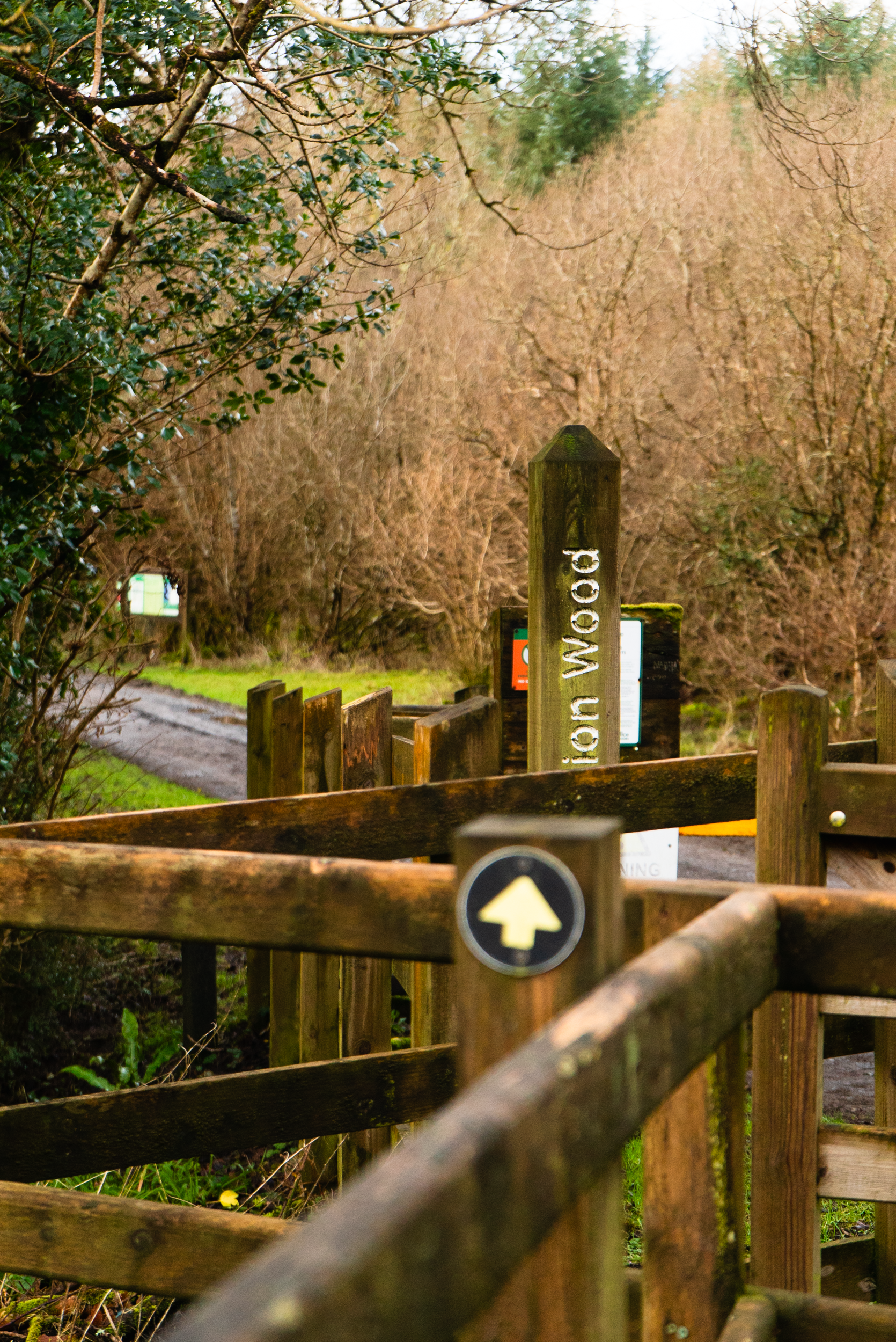
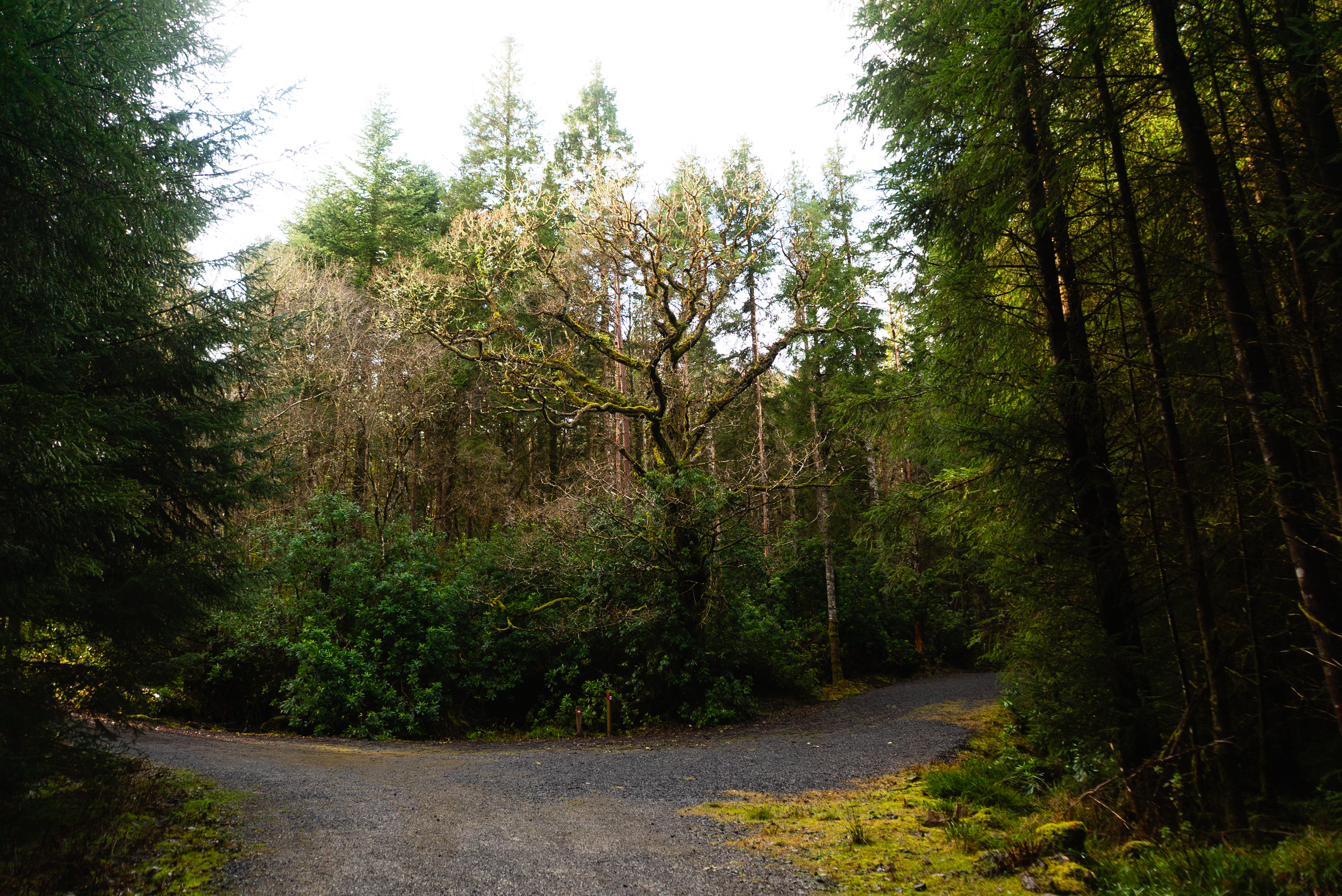
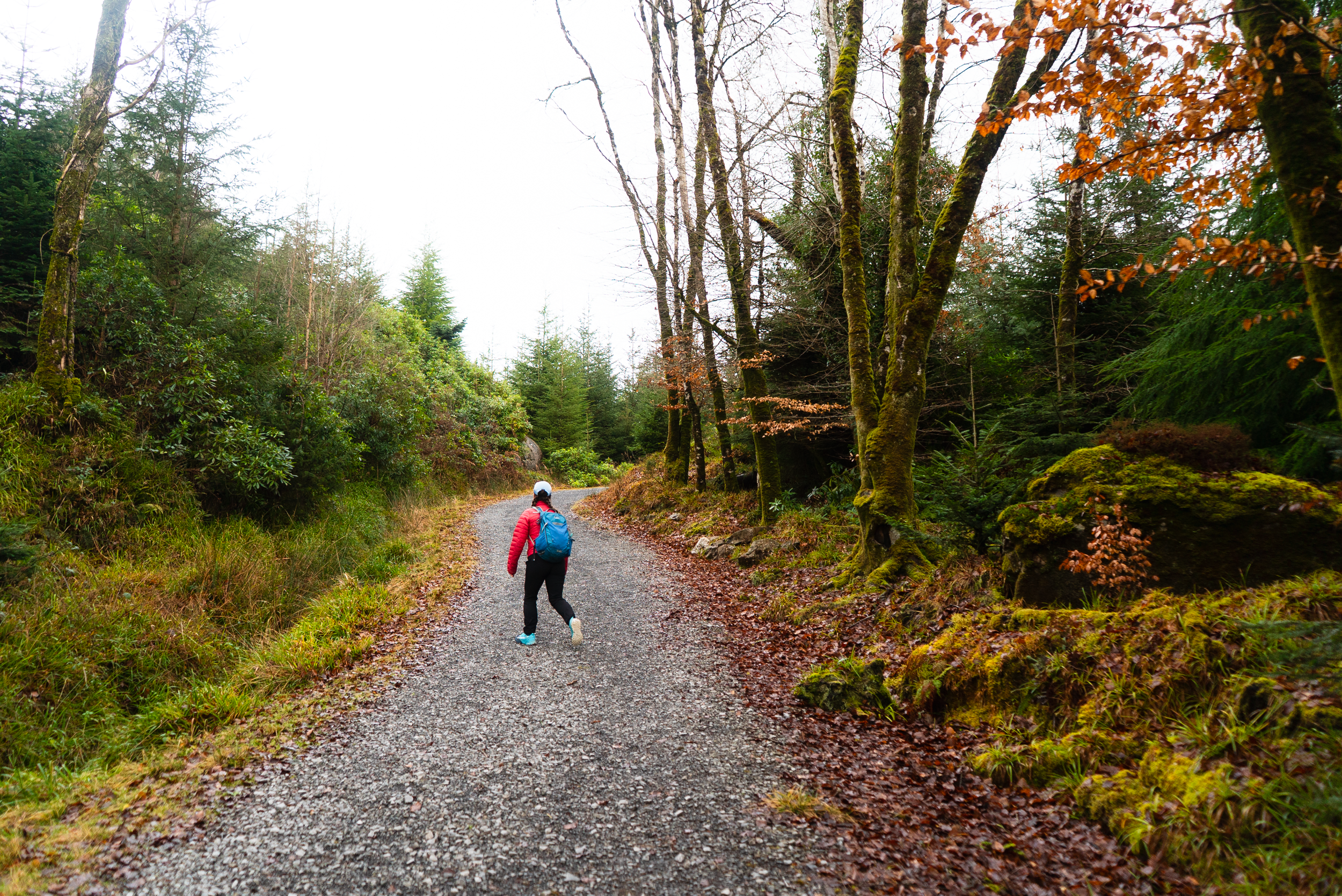
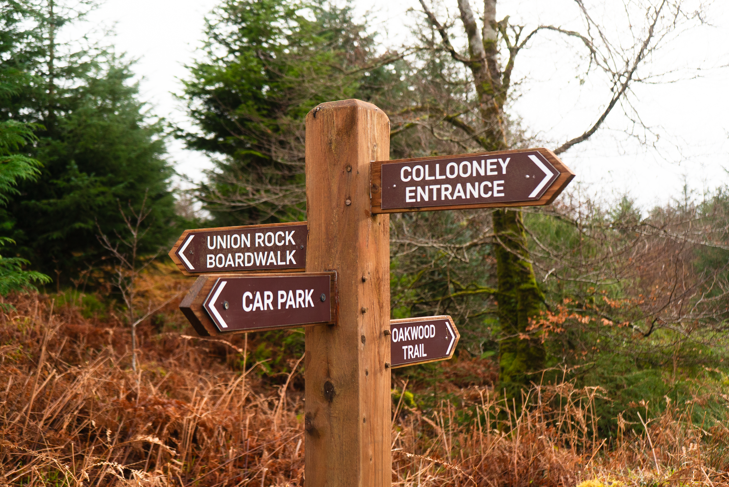
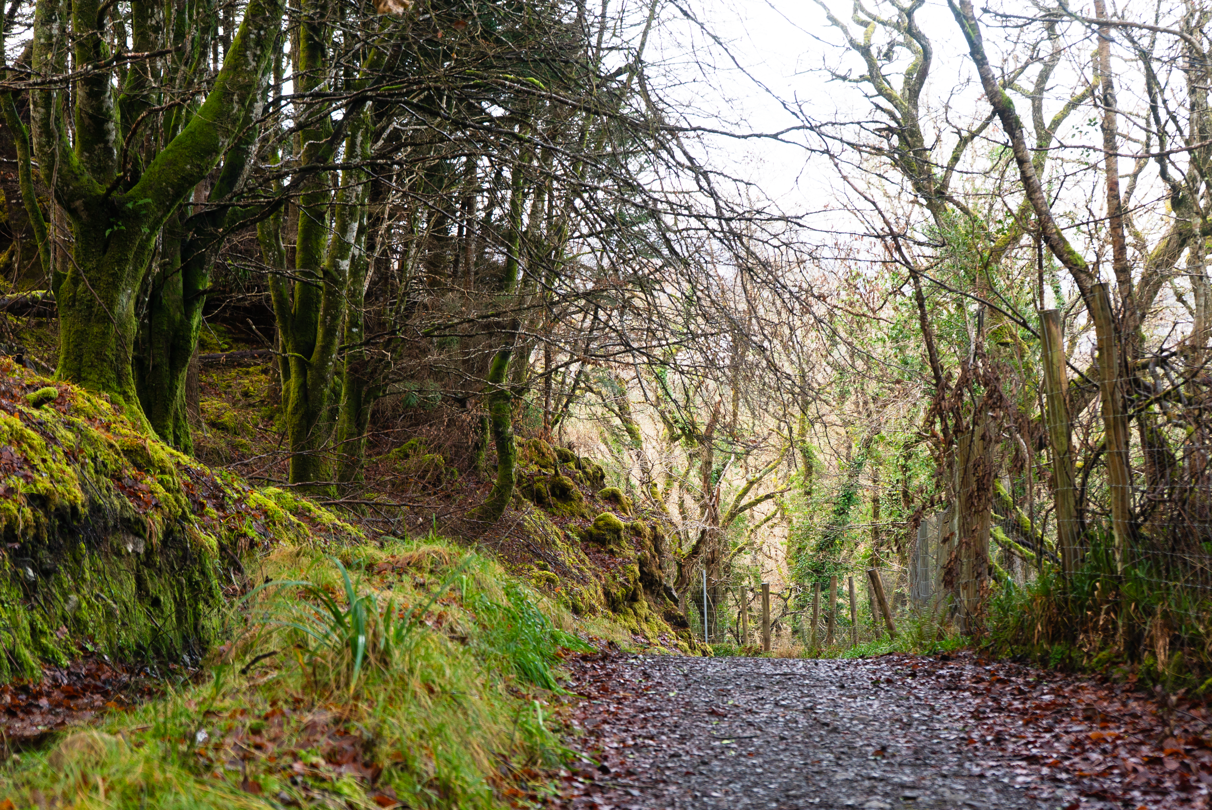
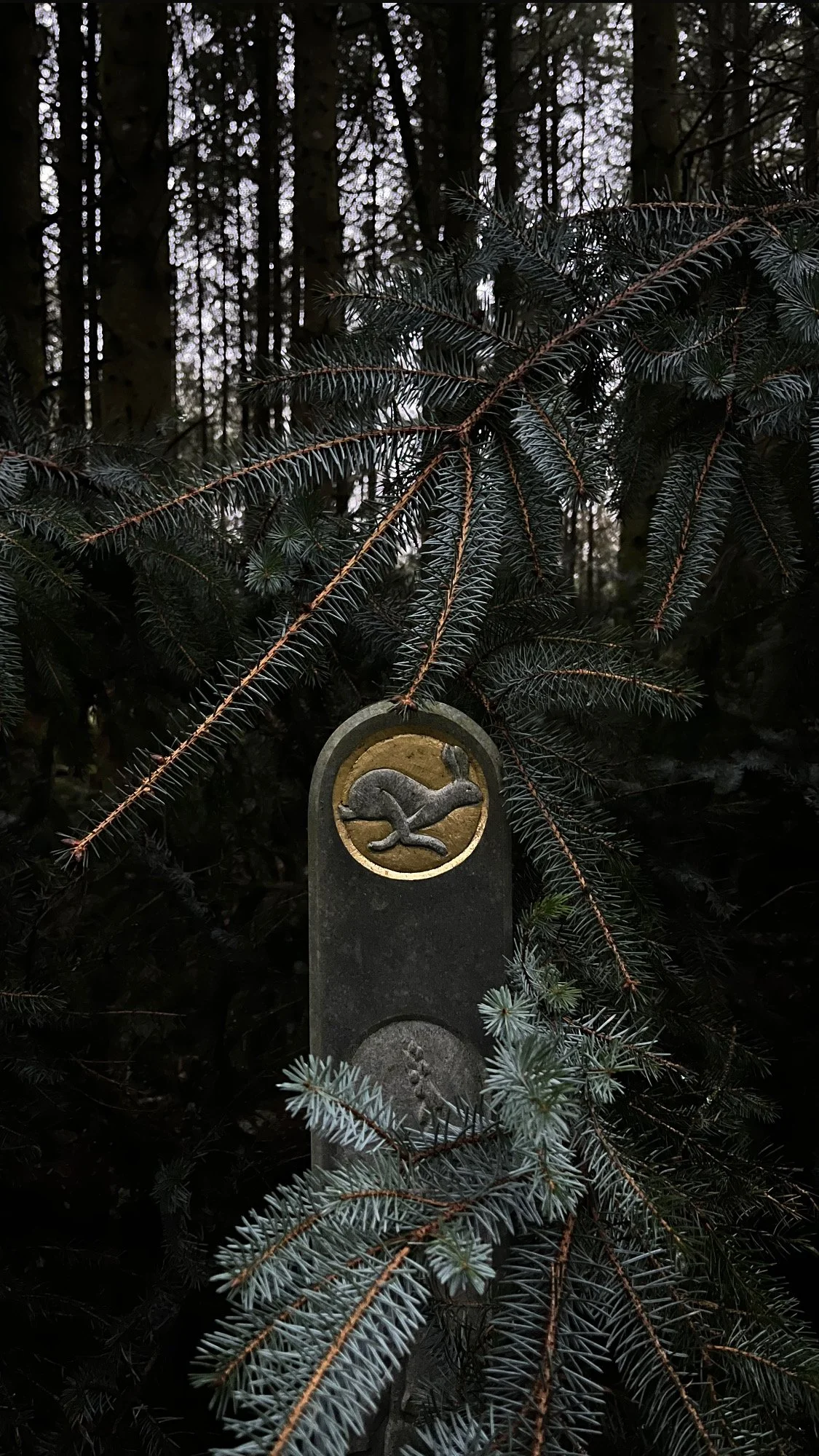
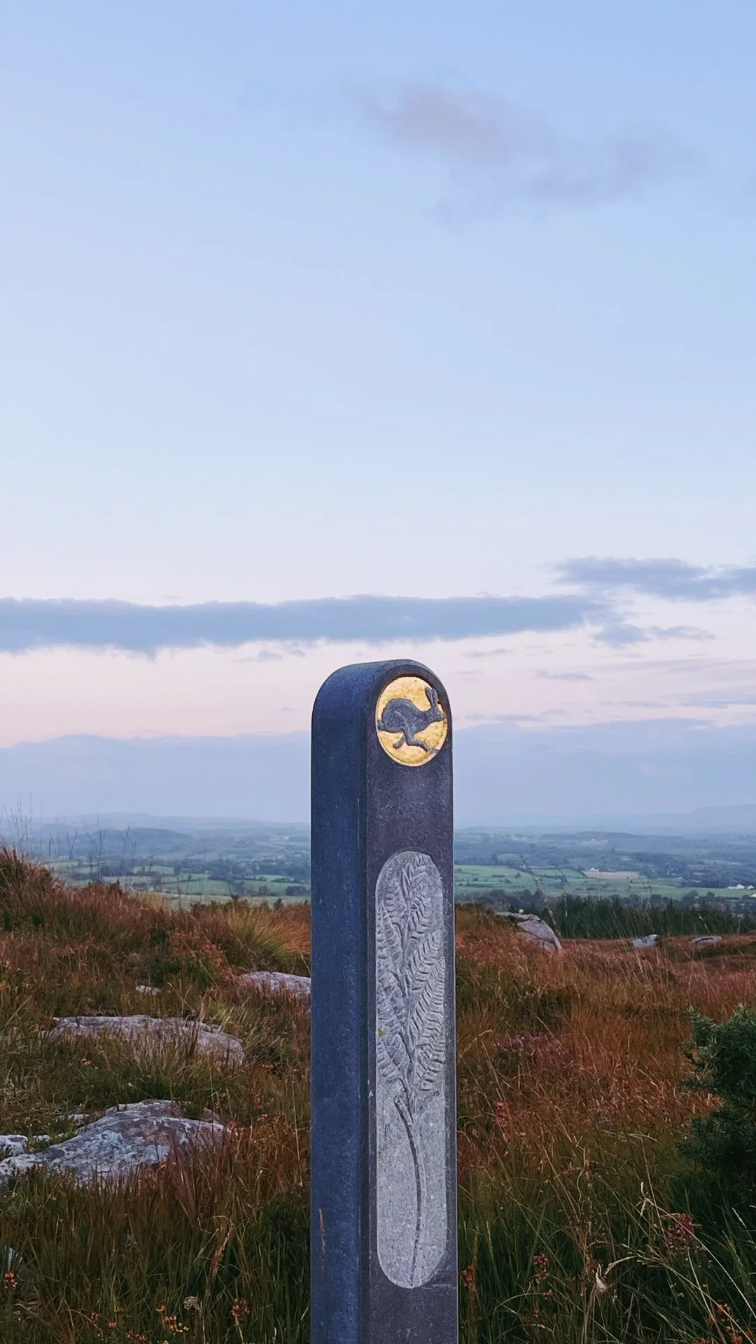
All the routes along this trail are way-marked. There is a mixture of gravel trail and raised wooden boardwalk.
Read how we rate trails here.Trail quality: 3/5
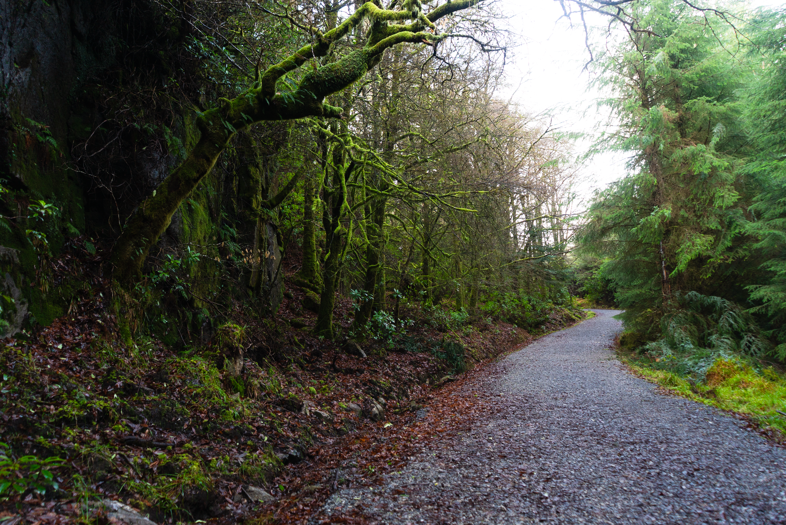
A lot of the trails here are old forestry tracks that have been converted walking trails. They are lovely to walk, but sometimes hard underfoot.Views: 4/5
Within some of the spruce forest the views are limited, but for the most part the oak forestry is great and the views from the summit of the surrounding area are gorgeous.Buggy/Wheelchair friendly: Partial
Buggies would be able to make their way through most of the lower trails, but there is no specific multi-access trail.Dogs allowed: Yes, this is a very popular area for dog walking.
External links:
Links to specific trail GPX’s or info will be linked below with the relevant trails. Overall info includes:
Routes:
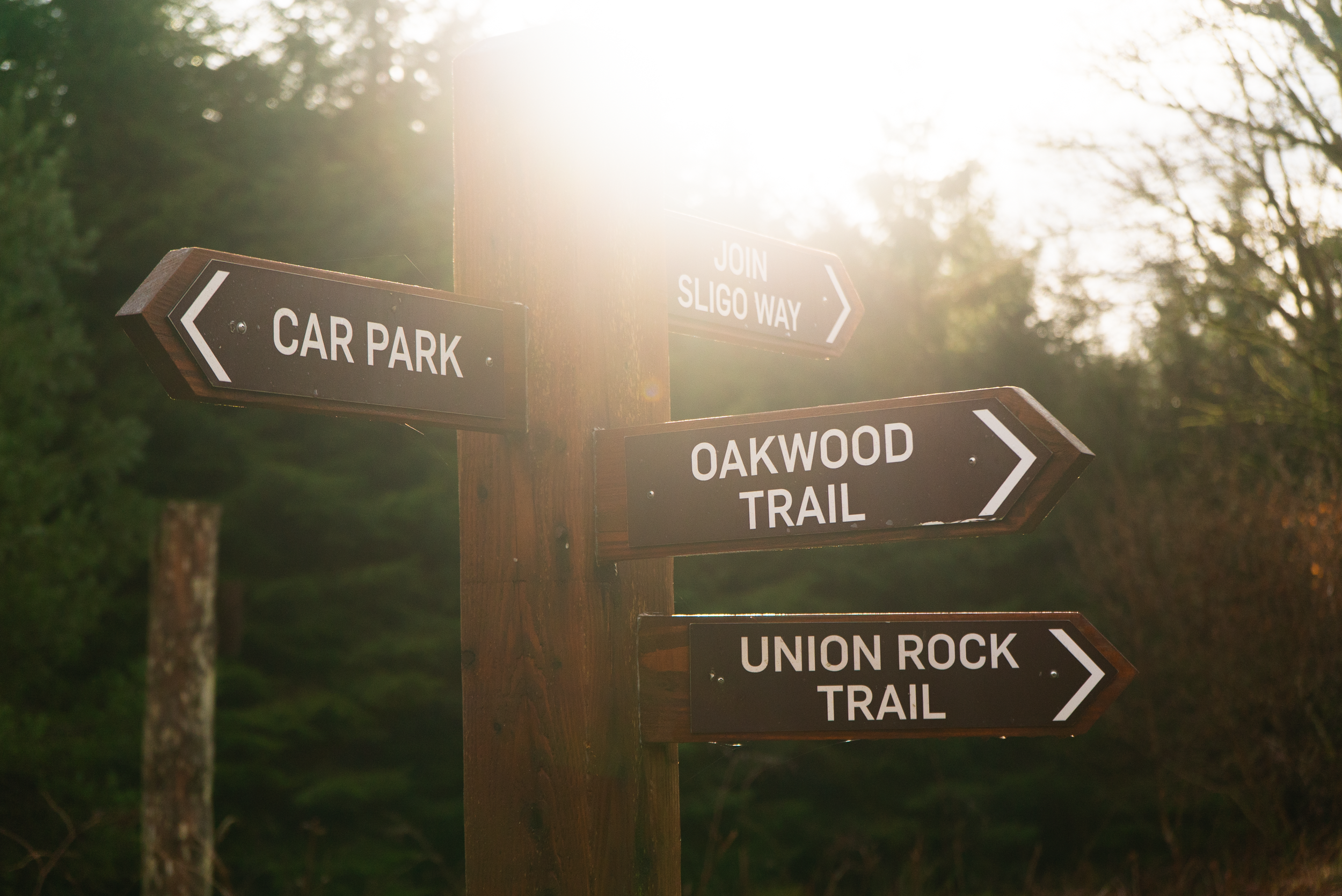
1. Union Rock Trail:
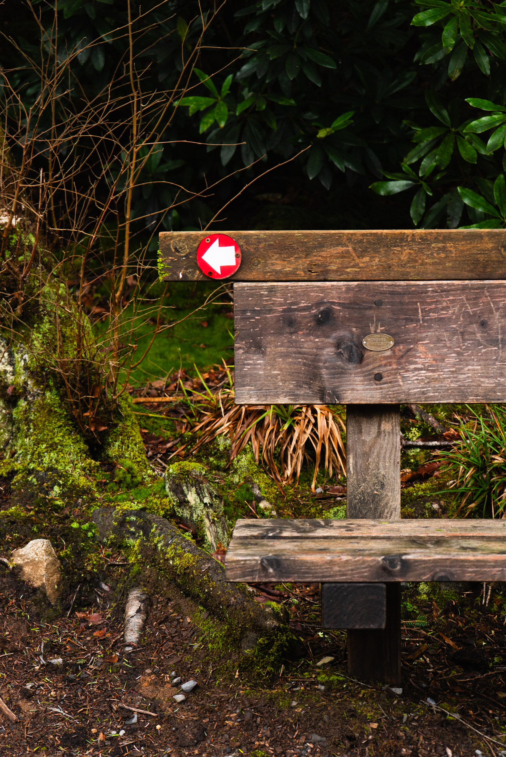
5.5km with red way-marking.
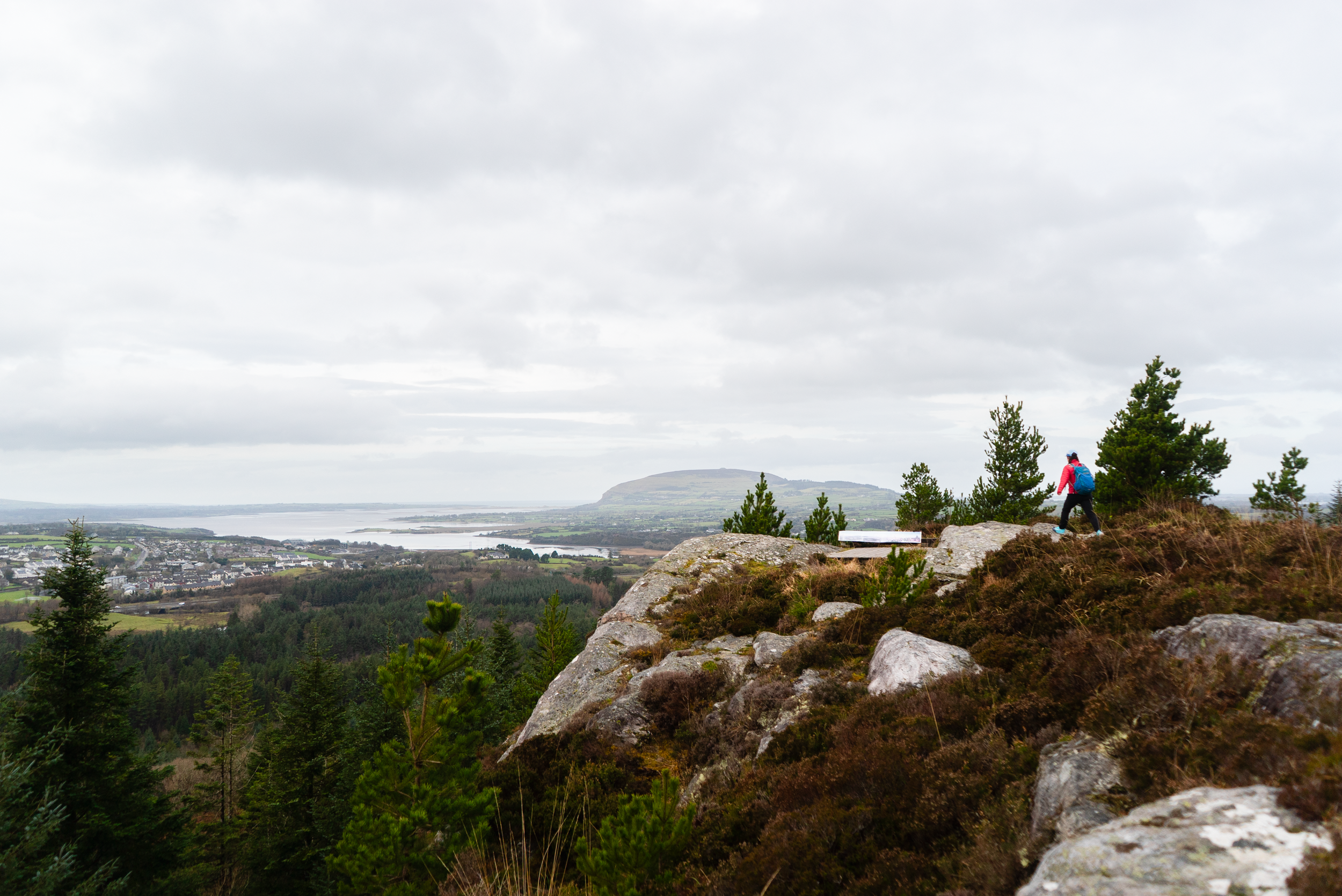
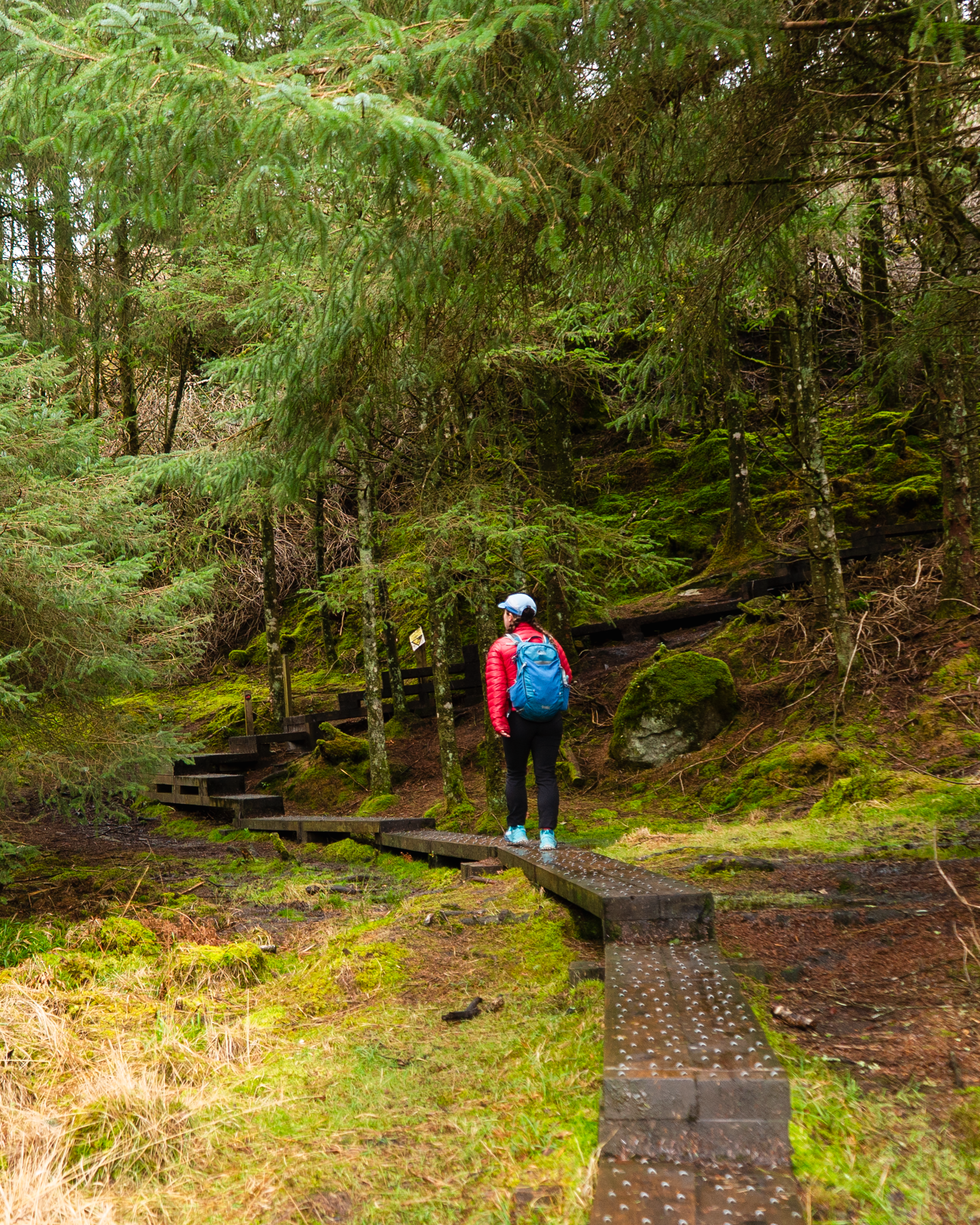
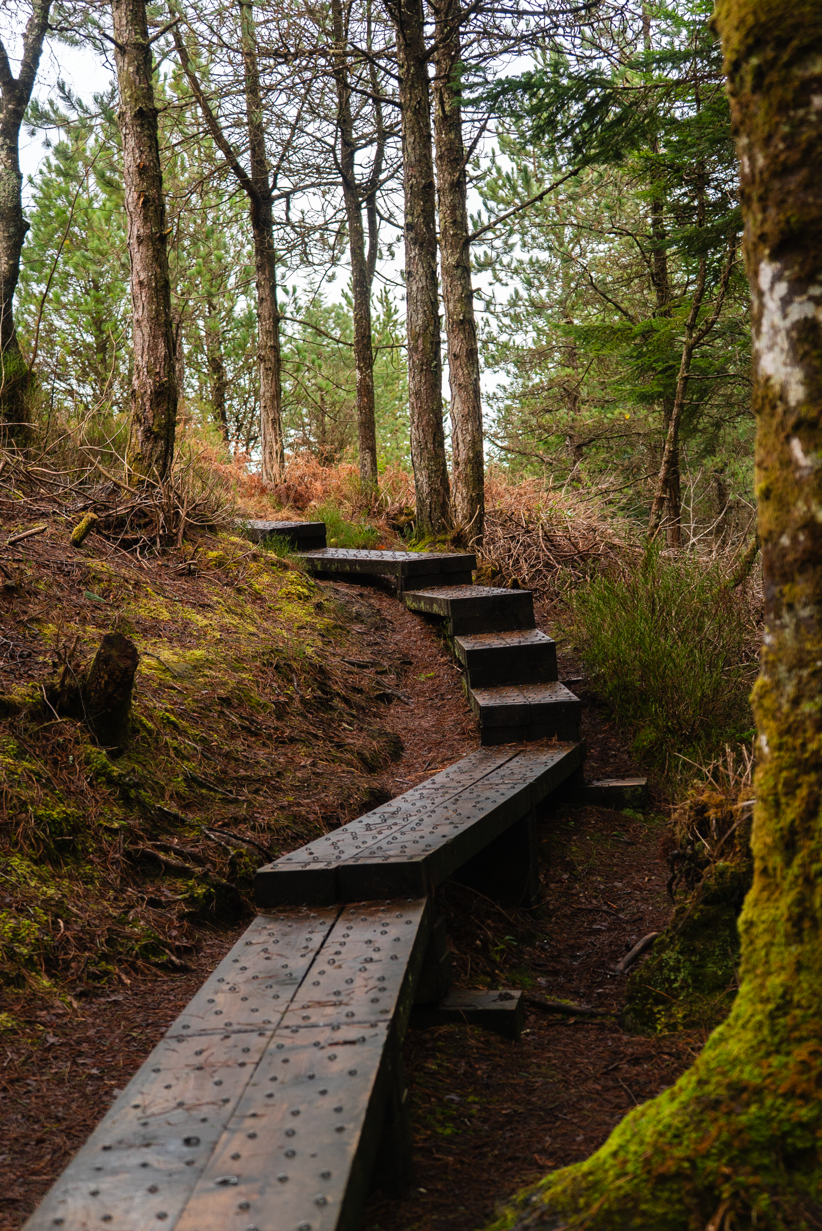
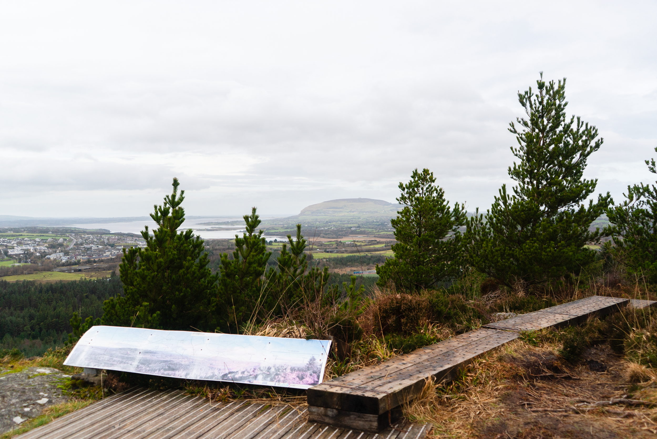
This route takes you in a spiralling loop around Union Rock, with a spur off to the summit. Following the trail from the main carpark, you’ll head anti-clockwise around the hill, passing by some of the old oak forest. Once you’ve made it most of the way around the hill, you will come to a wide Y-junction. If you want to take the boardwalk to the summit, you will have to turn uphill. If you want to stick to the wide gravel tracks, continue downhill. The summit views are gorgeous, taking in Knocknarea and the Ox and Dartry Mountains.
I will note - the boardwalk to the summit is often quite slippy as the west coast of Ireland is often quite wet. Boardwalks are as much to preserve the surrounding habitat as they are to make trails more accessible (in fact, more often than not it is conservation that is more important). So as you make your way to and from the summit, tread with care.
External links:
2. Oakwood Trail:
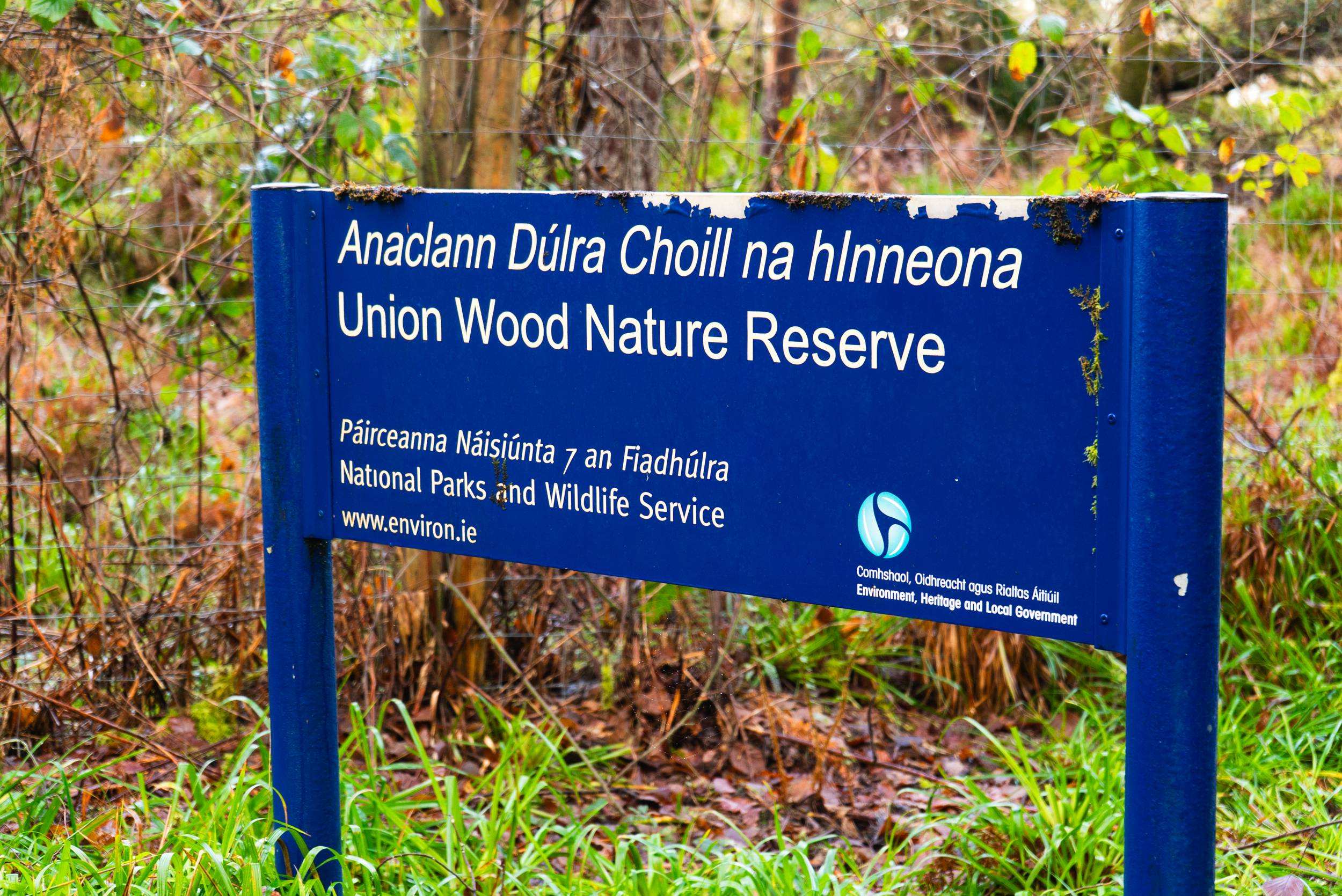
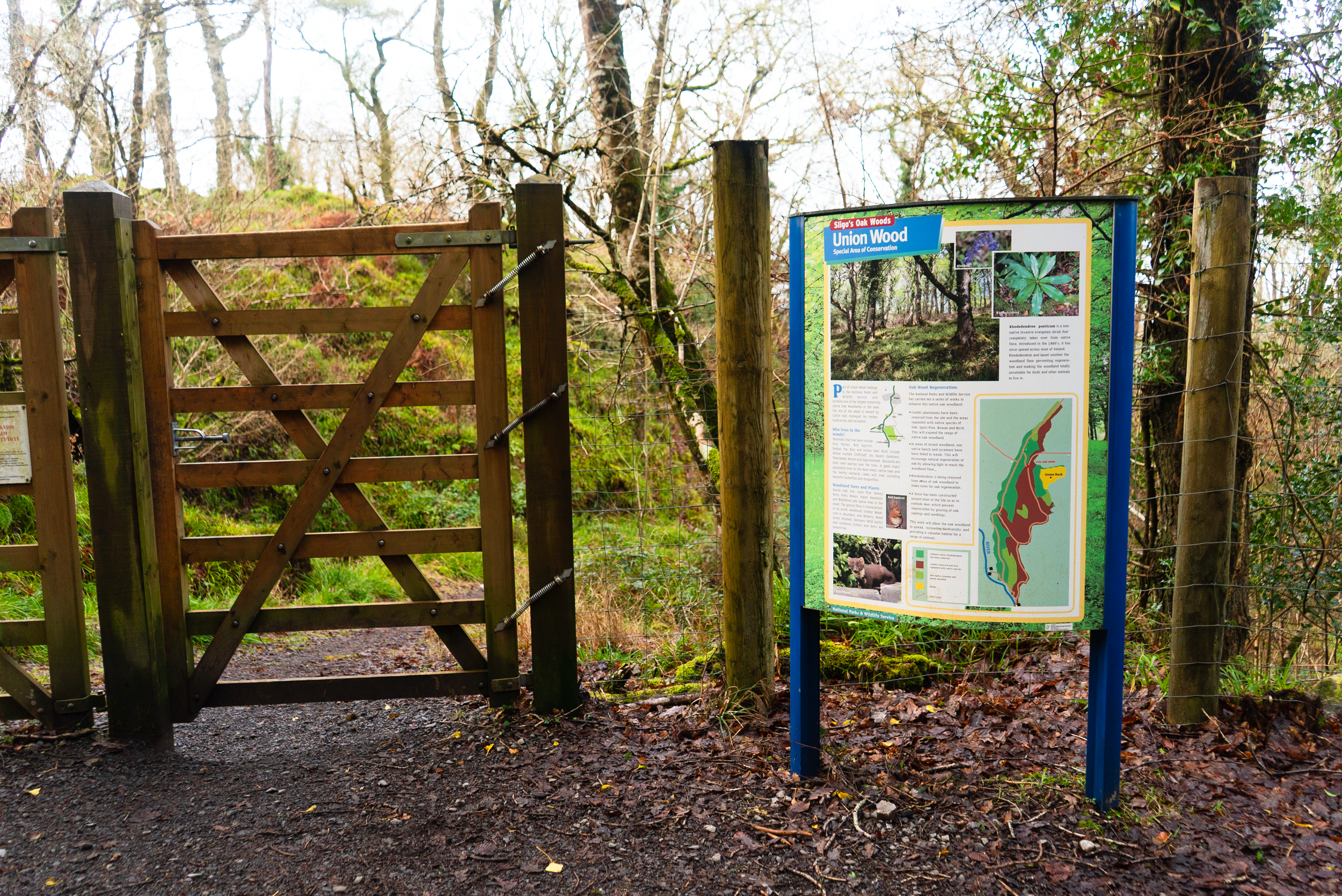
The Oakwood Trail follows green way-marking around the lower hills of Union Wood. This looped route is 5km long and takes you through the areas designated as a Nature Reserve (thanks to its SAC status) and managed by the NPWS.
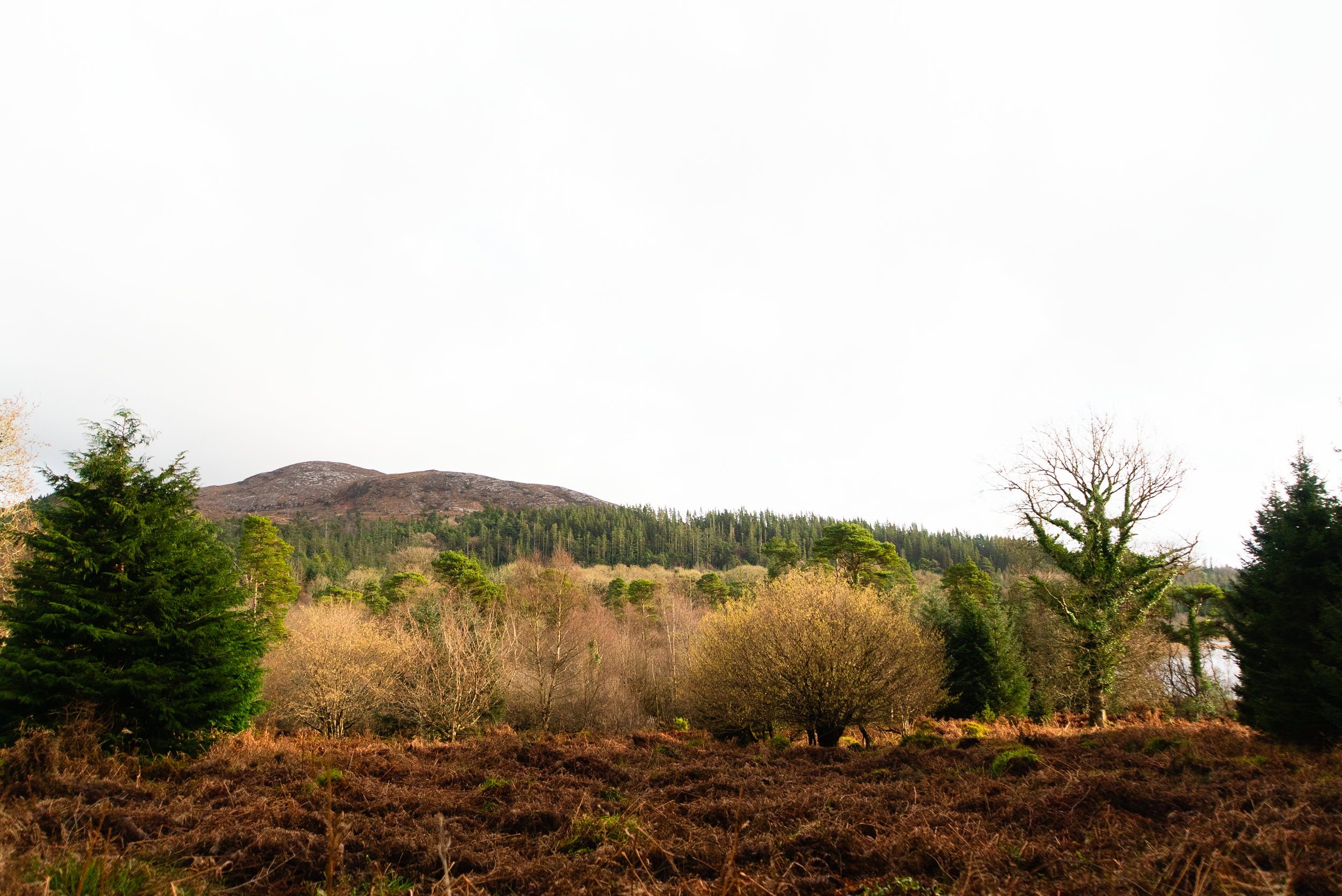
This native woodland is the largest stand of oakwood that you’ll find in Sligo (and possibly the who north-west). The primary oak here is sessile oak, Ireland’s national tree. These trees are havens for biodiversity, and in these sections of the woods you’ll find pine martens, red squirrels, bats and jays, just to name a few. It’s obvious as you pass from the nature reserve to other parts of the woods ,as the reserve is protected with tall deer-fencing to prevent overgrazing.
3. Ballygawley Lough Trail:
This is one of the newer trails in union woods, marked with purple arrows around the lower trails. Depending on where you park, you may have to cross the main road. The whole trail is just over 4km long, and is designed with those of limited mobility in mind (not a fully fledged multi-access trail).
This trail is the only one that connects to the large viewing points on the eastern shore of Ballygawley Lough where there are picnic tables.
4. Lough Loman / Mountain Access Trail:
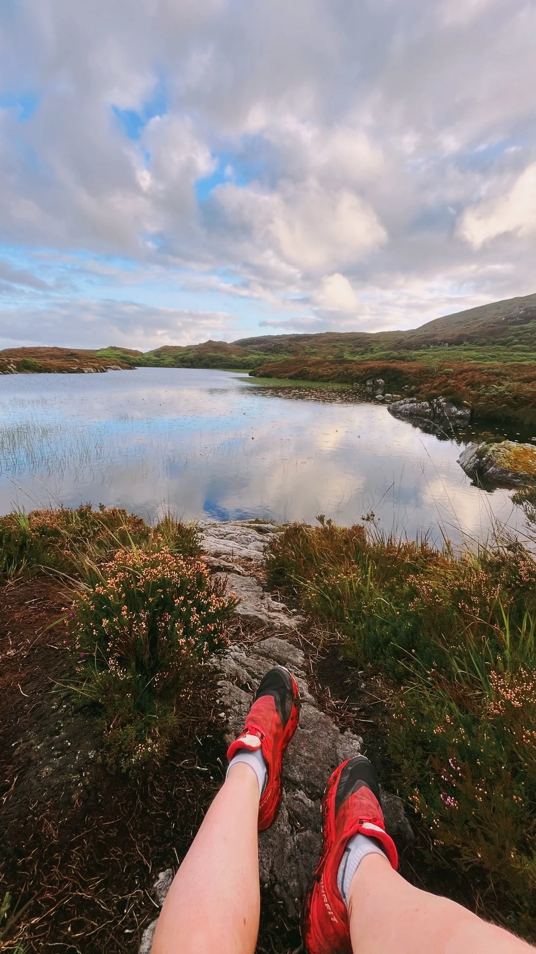
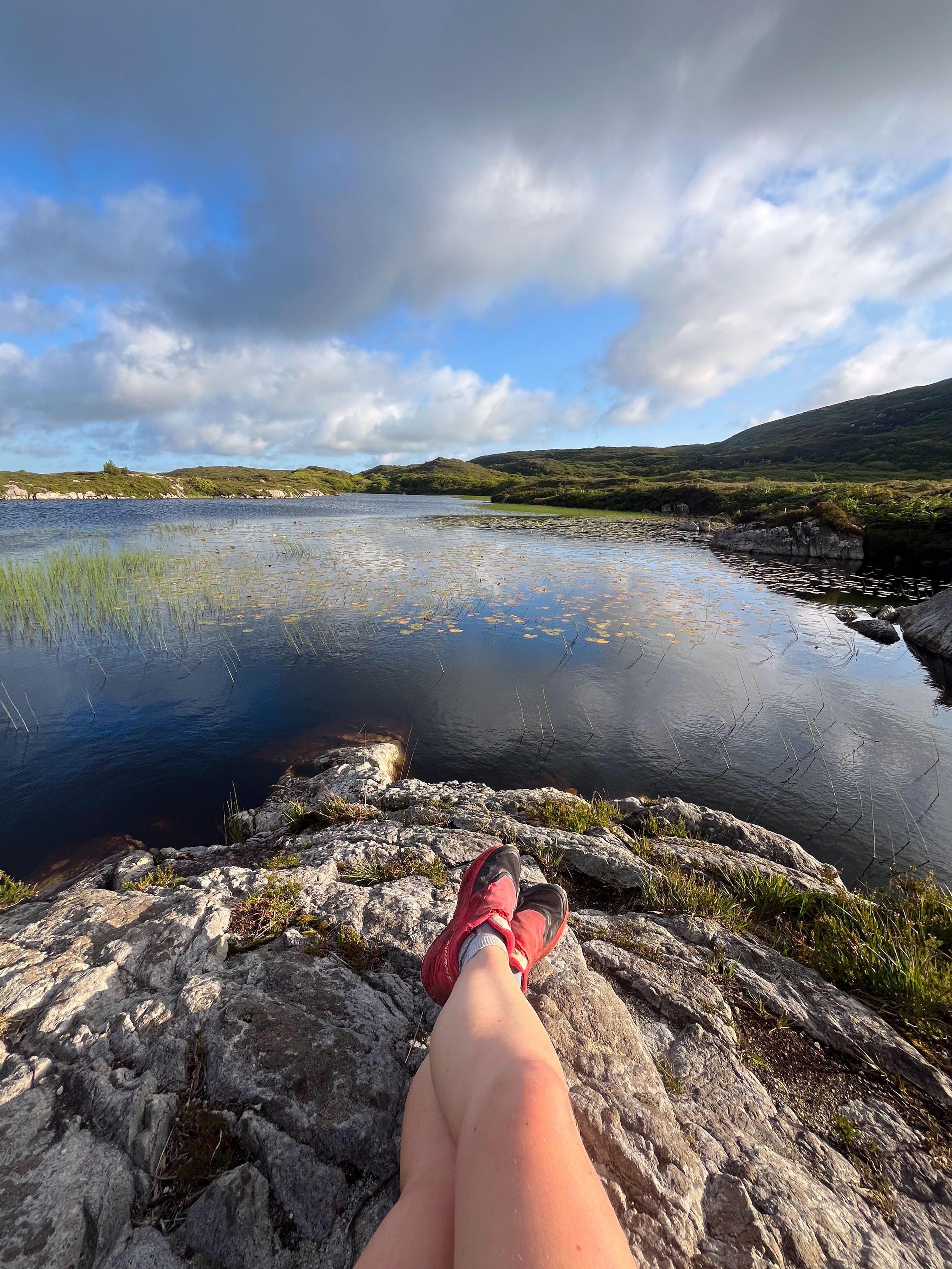
This is a 12km out-and-back route to Lough Loman, a lake hidden away up in the hills. Following the white way-marking on the infoboard maps, the route follows the Sligo Way west from the main car park, crossing the main road.
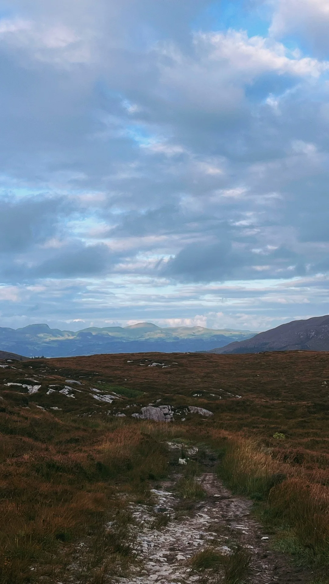
Even before this became its own route, walking up to the lake was one of my favourite things to do here. All year round, I’ve climbed this steep and twisting trail into the bigger hills beside Union Wood. You’ll hear the screams of birds of prey echo in the hillside valleys, and once the climb is over the views south stretch out for miles out towards the flat midlands.
5. The Sligo Way (80km thru-hike)
The Sligo Way is the local long distance / thru-hiking route. Leaving the main car park, it’s approx. 23km to Dromahair and 57km to Lough Talt. If you’re looking for a linear day hike from here, I’d recommend walking towards Dromahair (the same direction as the Lough Loman Trail above). After the lake, you’ll continue onto Slish Wood and the famous Lake Isle of Innisfree in Lough Gill.
History:
This area was previously owned by the McDonagh family until it became part of the Cooper estate in the 17th century during the Cromwellian settlement. Like many estate lands of the time, much of it was planted for construction materials. Non-native species like Beech and Sycamore were planted along with the native Oak mentioned above.
Now the land is managed by both Coillte and the NPWS (National Parks and Wildlife Service). In my video below, I muse over how areas like this might in future be focused exclusively on recreation and native restoration. Spaces like this have been managed for both conservation and timber production for decades, and this can sometimes feel in antithesis to each other. In the video I don’t come to any clear answers - as there isn’t one. But it is something I plan on spending quite a bit of time thinking about nonetheless.
Videos of Union Wood
Depending on your preferred pace, I now have a walking (2026) and running video (2022) from Union Wood.
Further exploring
Other trails in the area:
Mountain Hikes:
Favourite Local Coffee / Food Options:
Nook Cafe & Restaurant, Collooney (great vegan options)
Shells, Strandhill (Brunch)
Rover Coffee Lab, Sligo (Coffee)
Hooked, Sligo (Restaurant)

