Overview:
Distance: 9km round trip from Carlingford village.
Elevation gain: 600m
Format: Out and back
Time: 2.5 - 4 hours
Start / End / Parking:
I parked on the seafront in Carlingford village, beside this village car park. I know that in the summer months and on bank holiday weekends, parking can be busy.Trail difficulty: Moderate
The first half of this route follows way-marked paths, and the second half is wilder boggy mountainside. Routes graded as Moderate include more informal paths, rougher, boggy and more uneven terrain with the possibility of rocky, moderately steep ground.
Read about trail grading in Ireland here.Trail quality: 4/5
The lower half of the route I talk about utilises parts of the Tain Way and National Looped Walks in the area, which are all well maintained. The second half of this route is not a trail and contains rougher, boggy and more uneven terrain. I’ve done this route in the summer and found it nice underfoot - having most recently done it in December, I can attest that it can be very wet underfoot in the winter months.Views: 5/5
I personally love the Cooley Mountains. I think despite their smaller size, they provide gorgeous views and trails, and have a wild feel to them.Buggy/Wheelchair friendly: No
Dogs allowed: No - this route features commonage and possible livestock.
When did I walk this route: December 2025
Toilets: There are public toilets in Carlingford, located behind the public car park and playground.
External resources:
Slieve Foye is a small but mighty hill. Standing at 587m, it’s the highest point in the Cooley Mountains. This route is something I like to call a “no filler hike” - you start in the village of Carlingford and from here to the top you are constantly climbing the whole way to the summit. No meandering section to relax on, just up the hill you go!
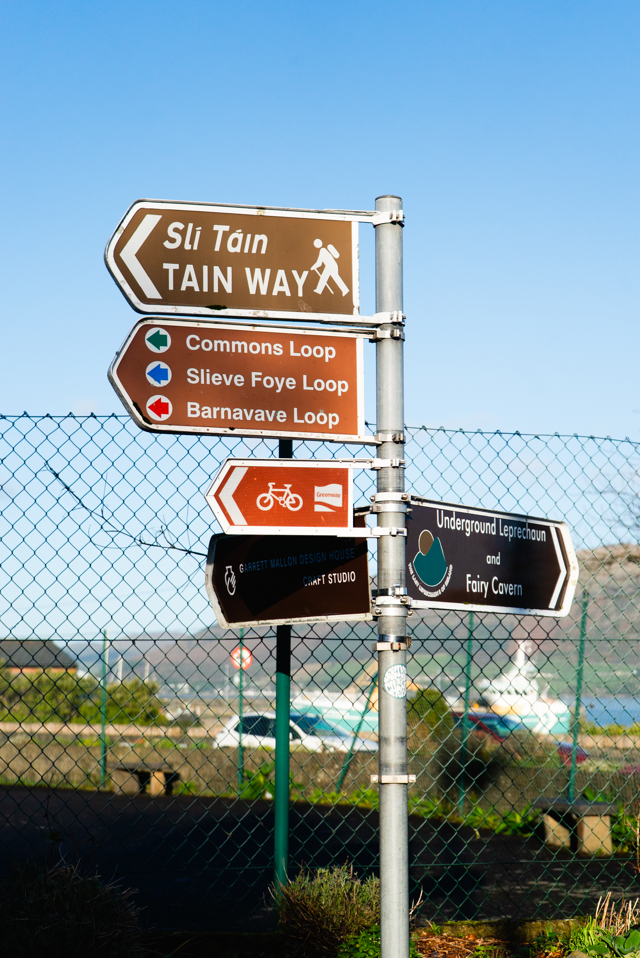
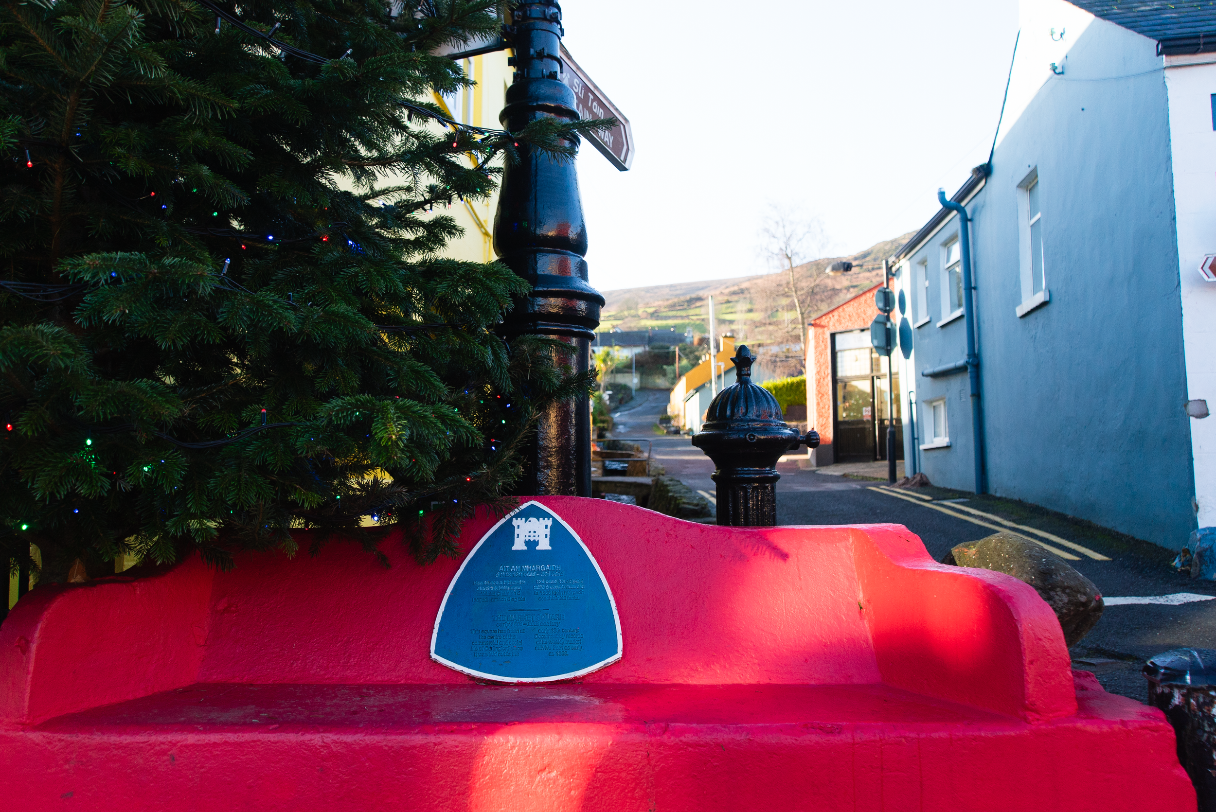
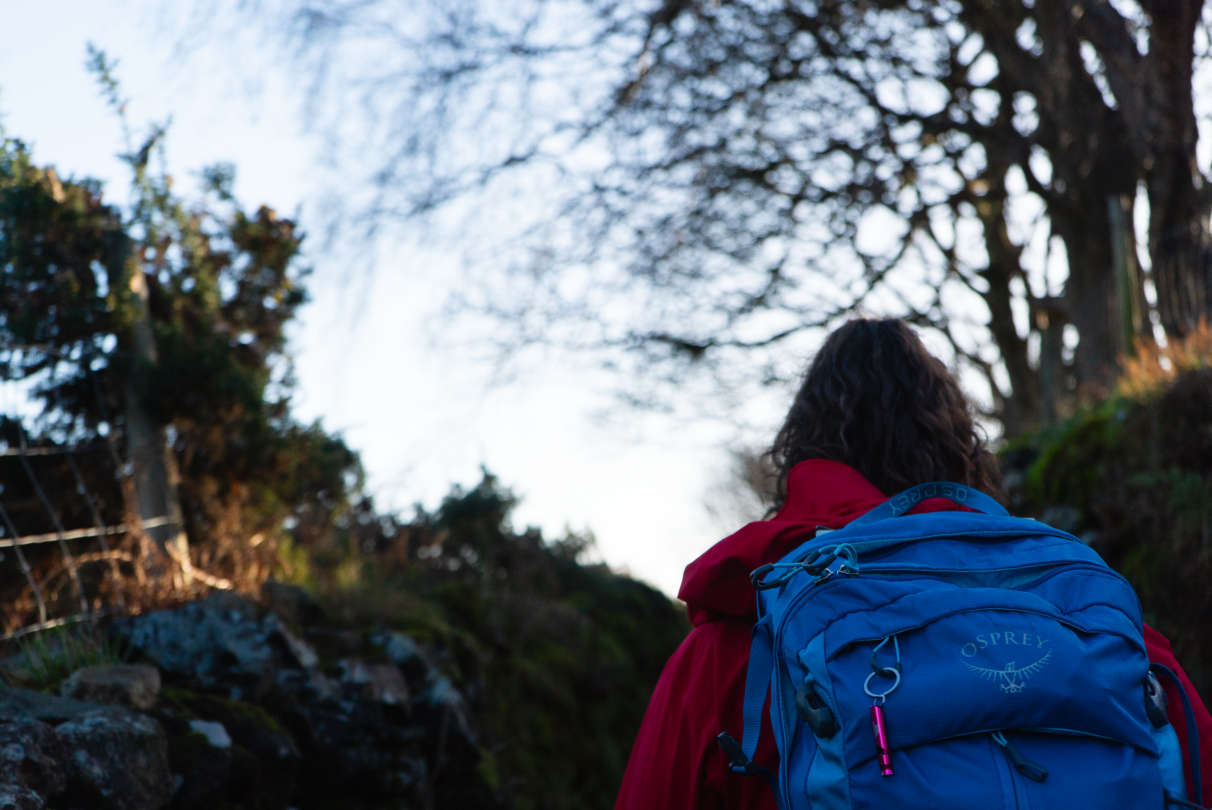
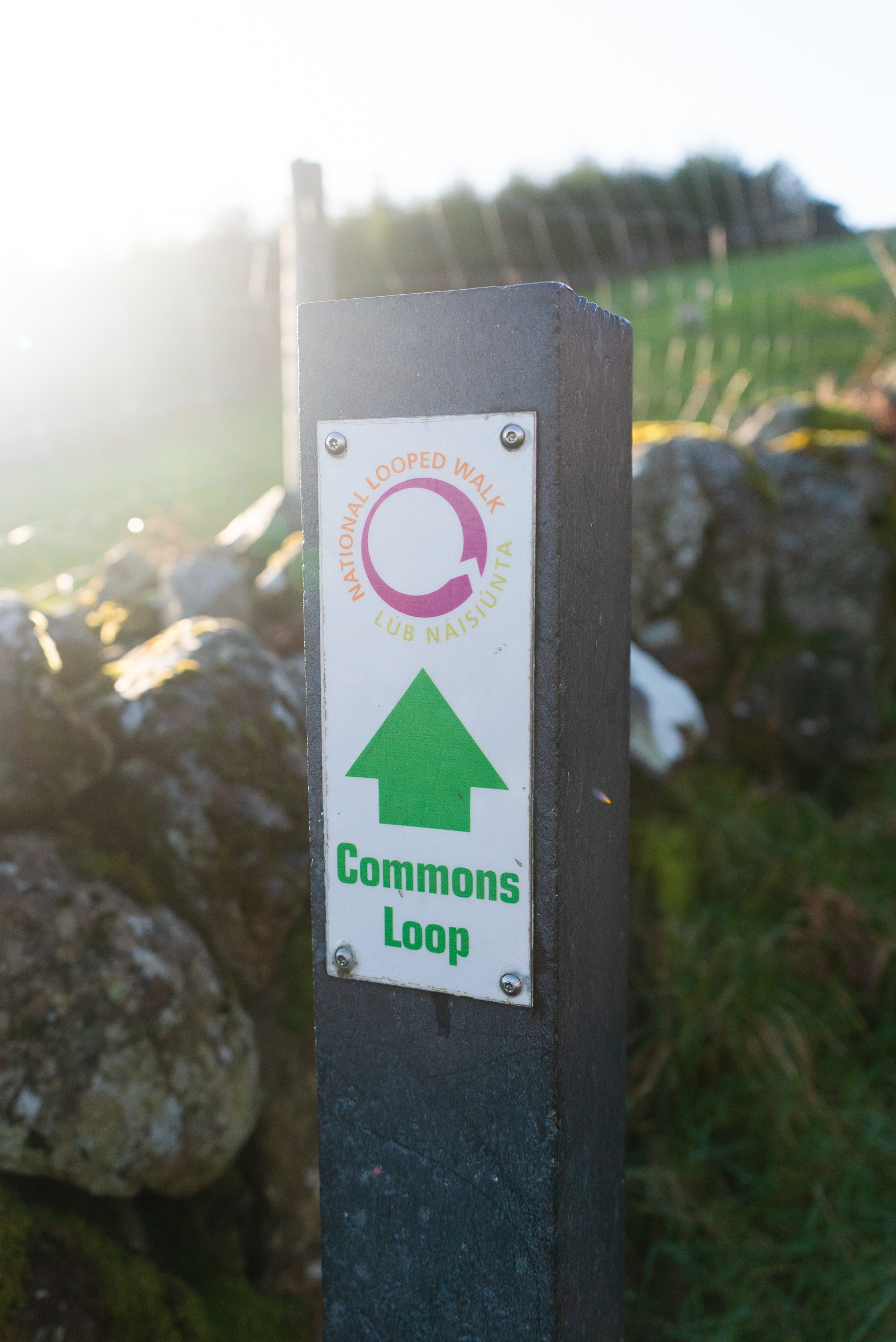
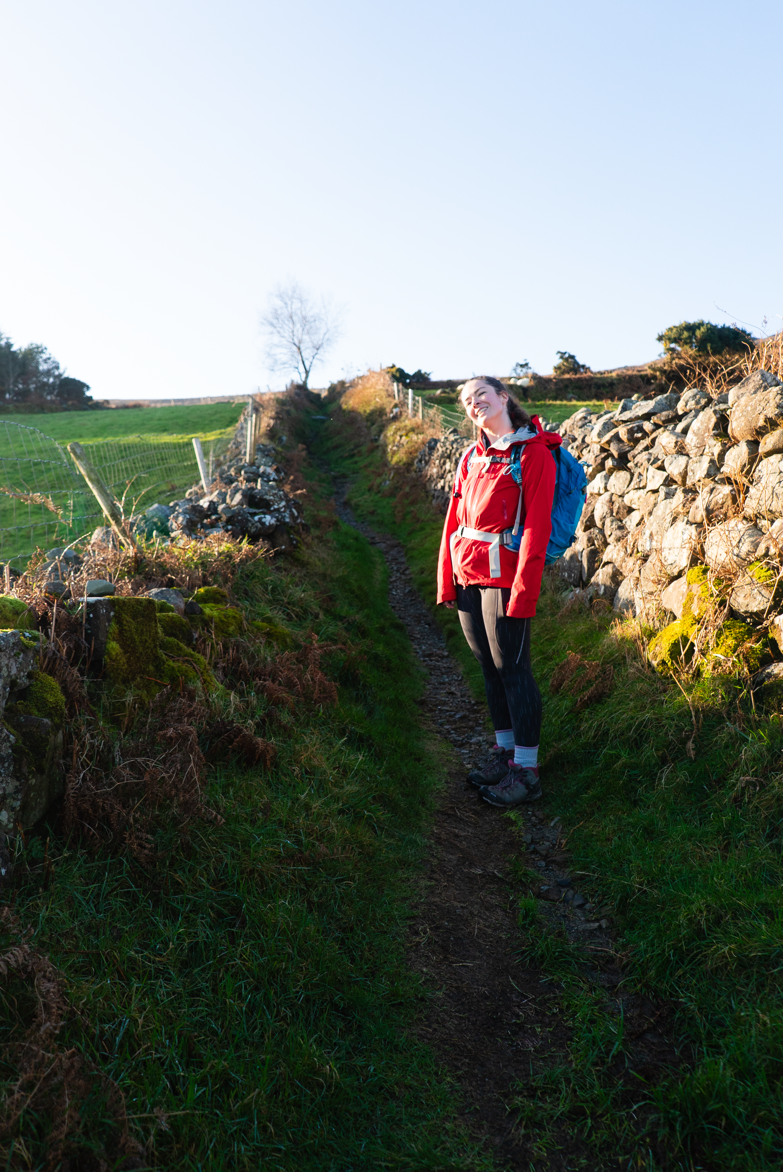
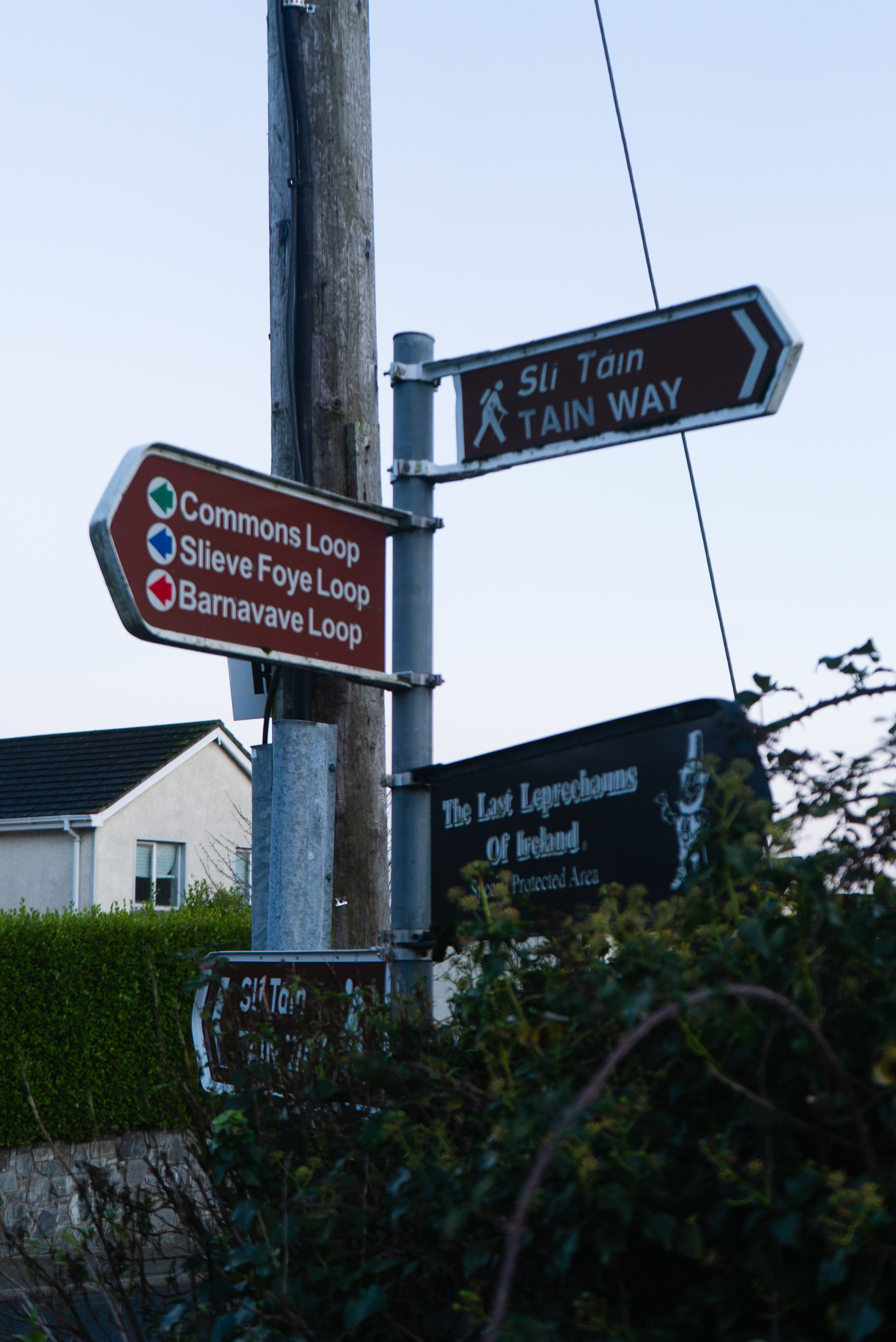
Parking on the sea front near the tourist information office, we swing by the public toilets beside the playground before following the signs for both the Tain Way and National Looped Walks up through the town. For this outing I'm once again joined by long-term Tough Soles Supporter Jen (I must come up with a catchier title, but I’ve used this one several times and so it has somewhat stuck).
While I’d told her this wasn’t one of the “big ones” (by which I mentally meant Lugnaquilla, Slieve Donard, or Mweelrea), I somewhat forgot to mention to Jen what I’ve already told you - that the route climbs from the get go. Thankfully, she’s both a forgiving friend and well used to my eccentricities.
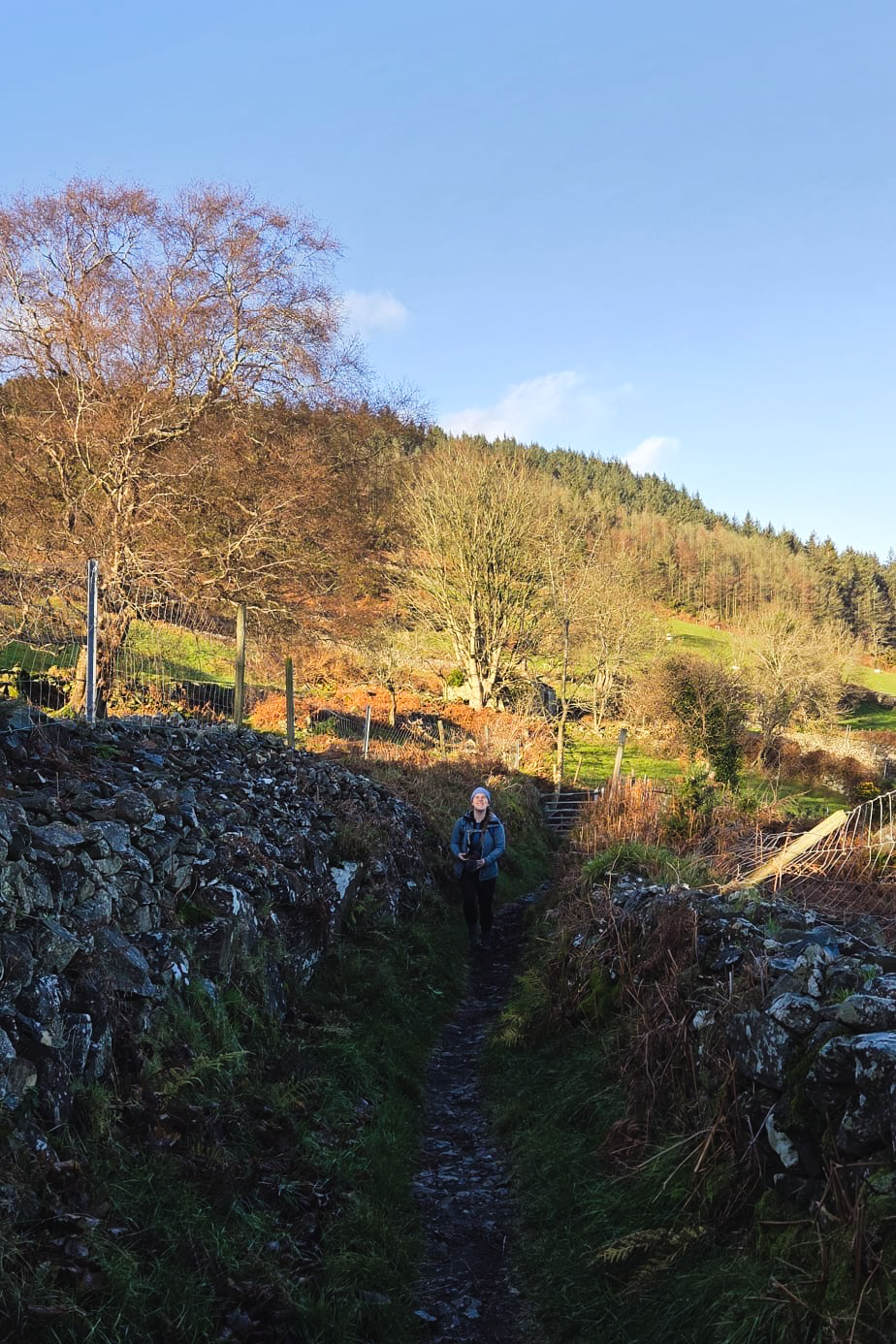
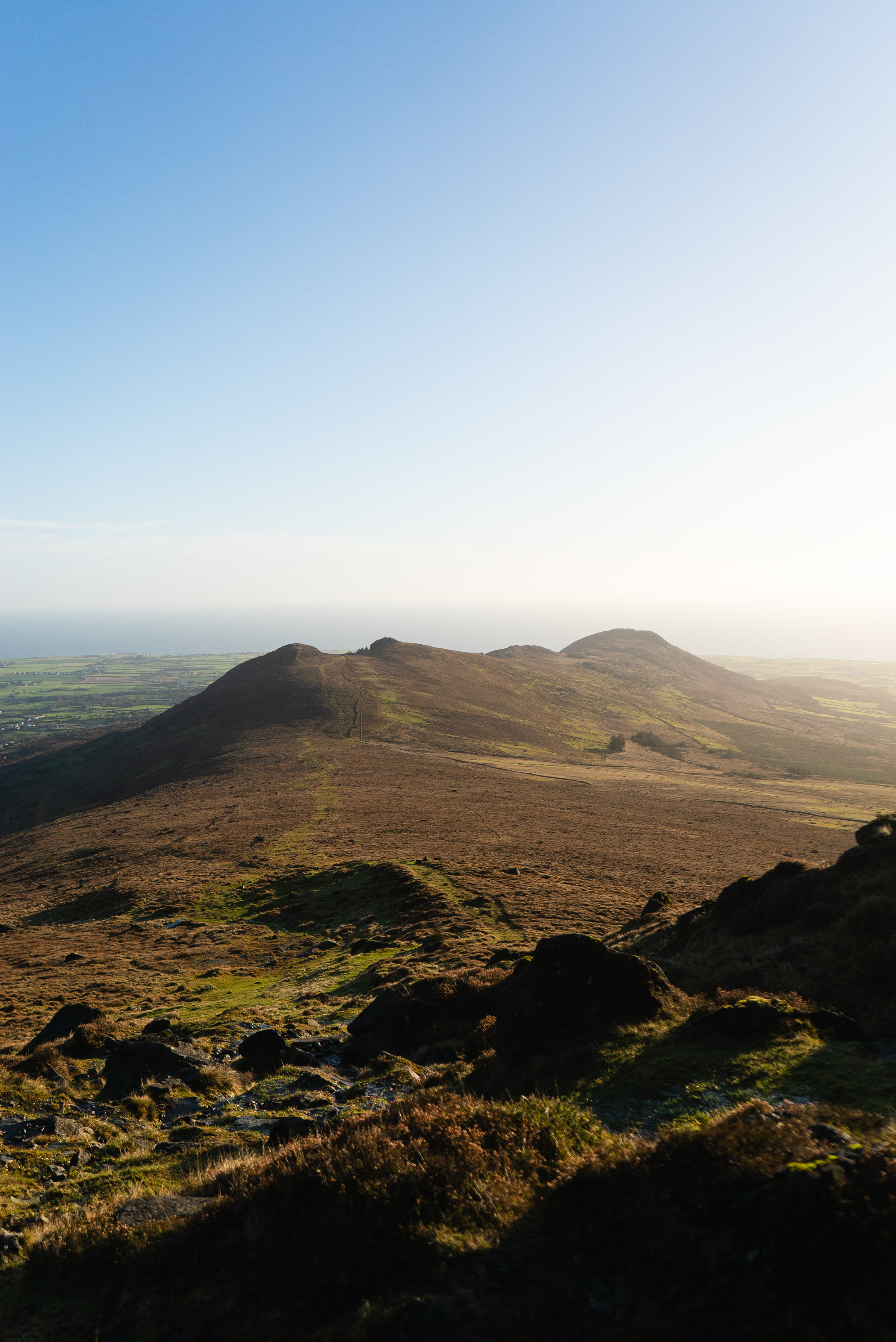
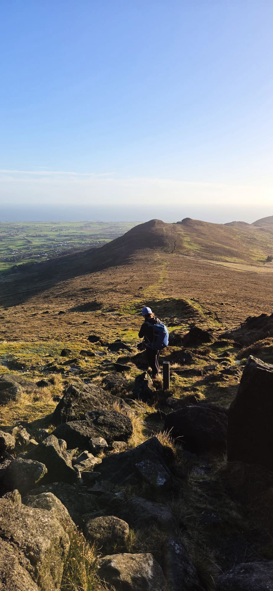
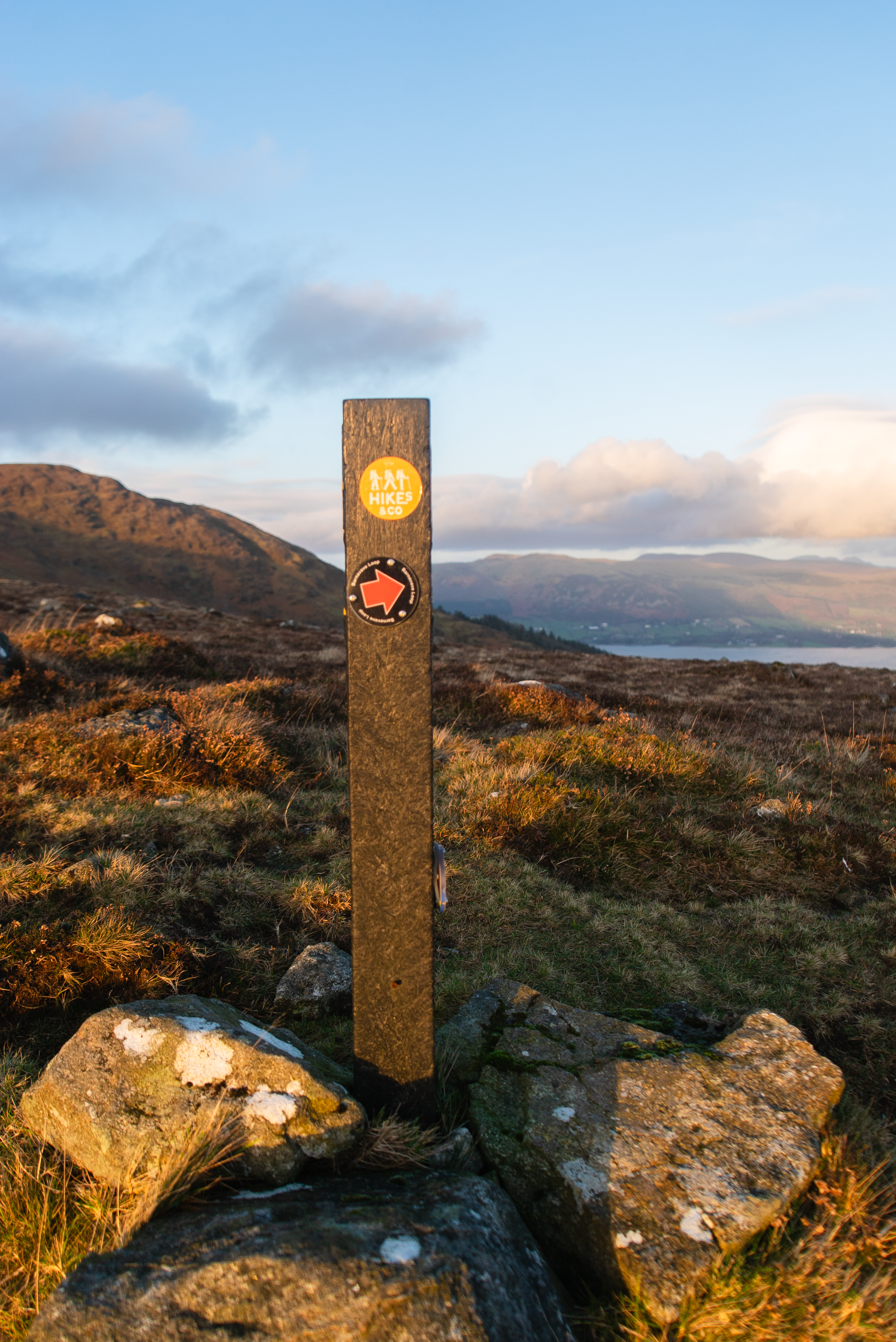
From the village we followed the Common’s Loop, which heads straight up along old farming paths towards the col between Slieve Foye and Barnavave, the smaller hill to the south west.
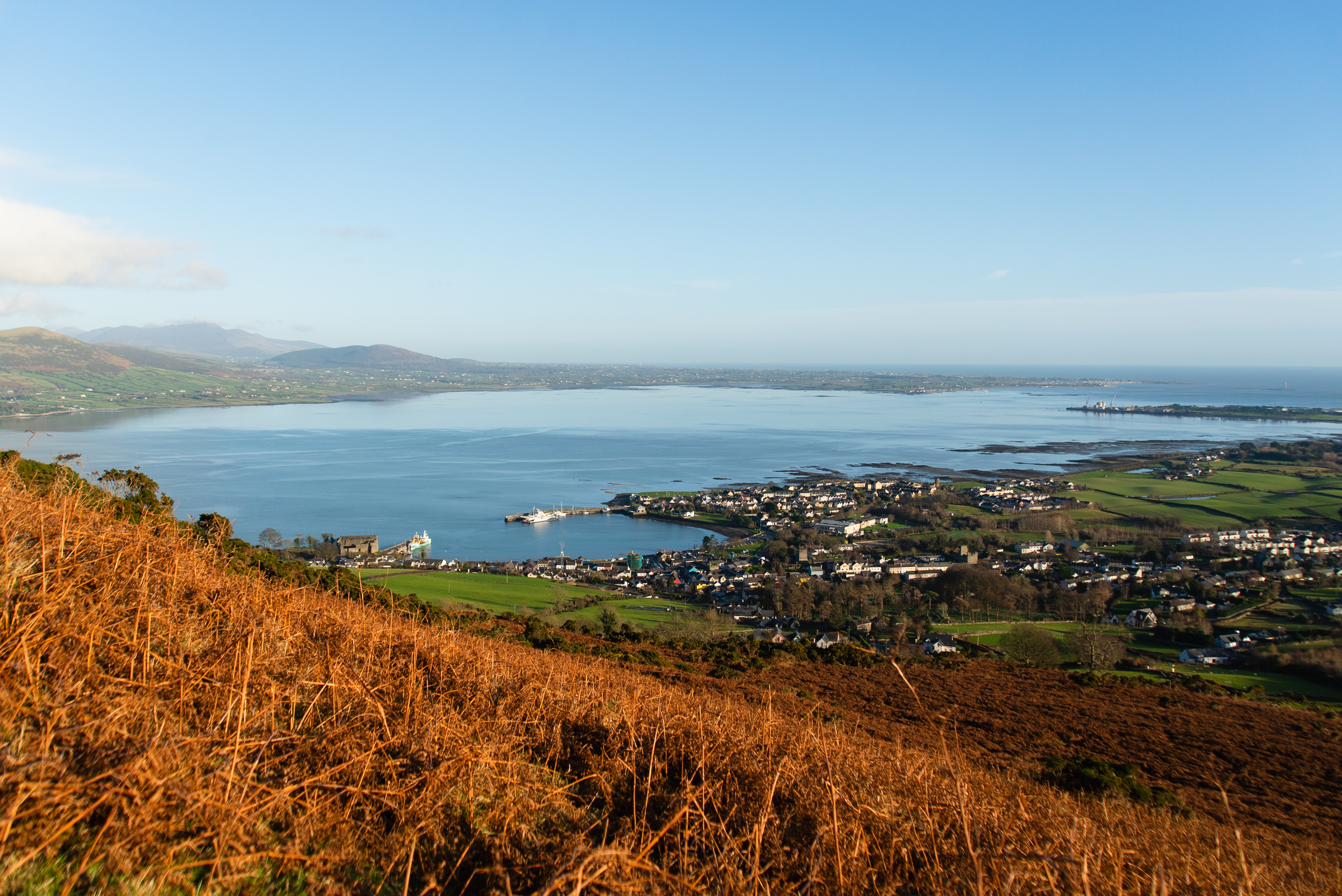

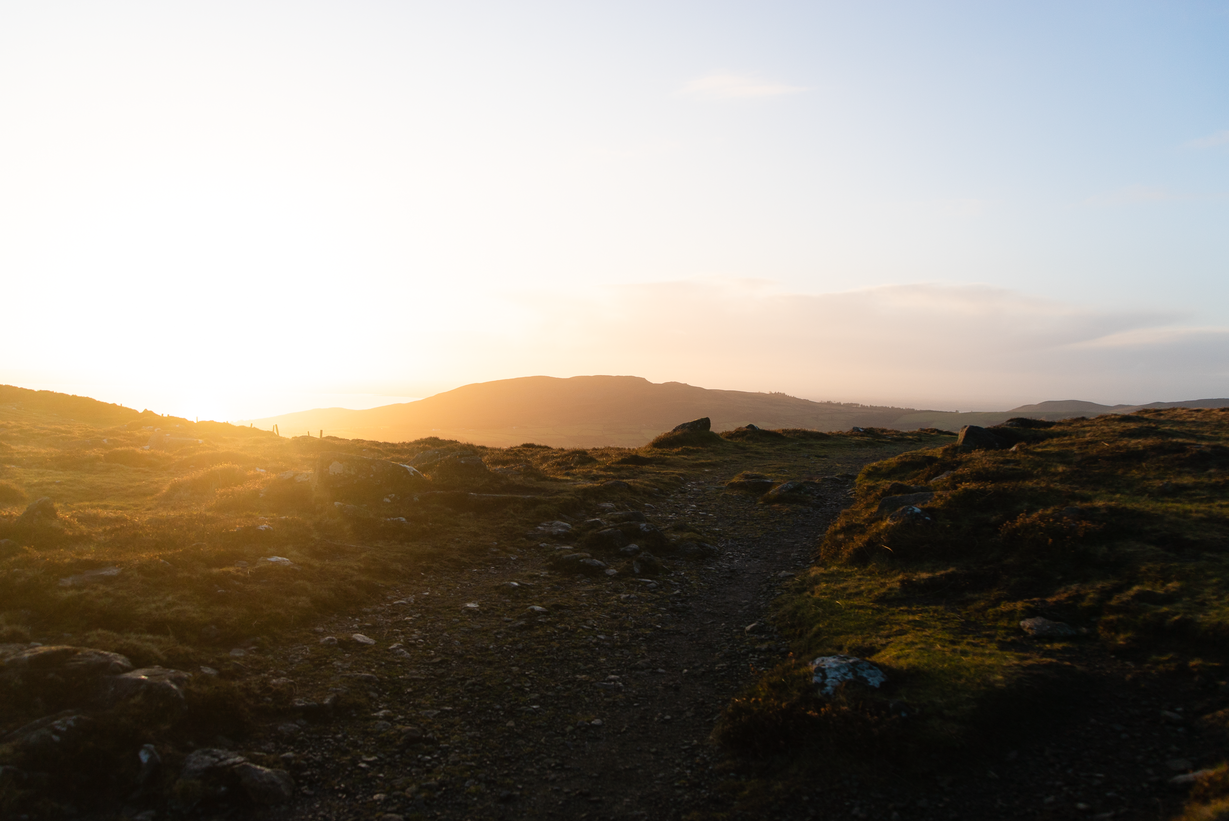
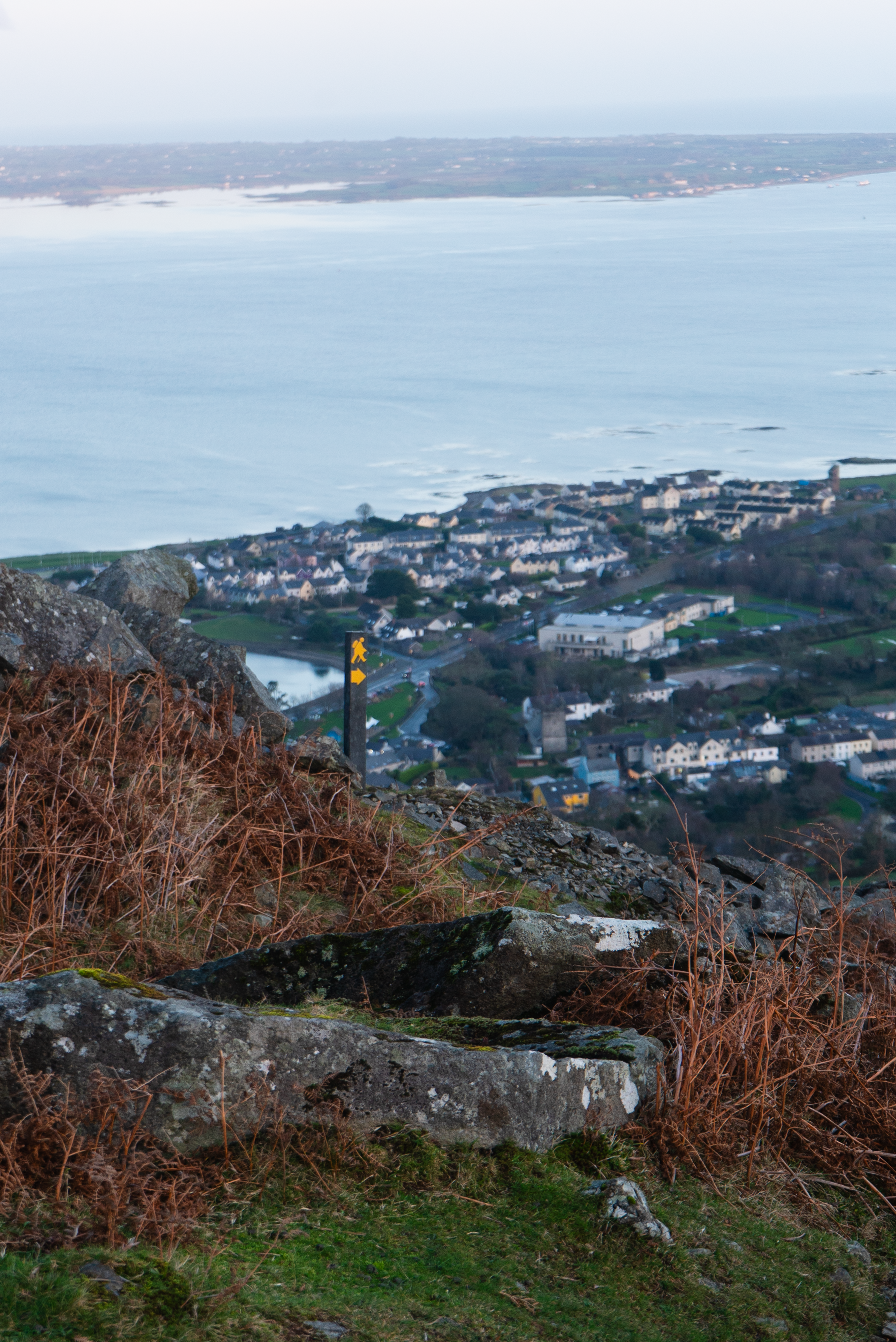
After approx. 1km the commons loop leaves the small old farm lanes, crossing onto open hillside, and comes to a trail T-junction. From here, we switched to the Tain Way to take us the rest of the way up to the saddle between the two summits. Along this section, there are great views out over the village and the fjord, with the Mourne Mountains sitting proud across the water.
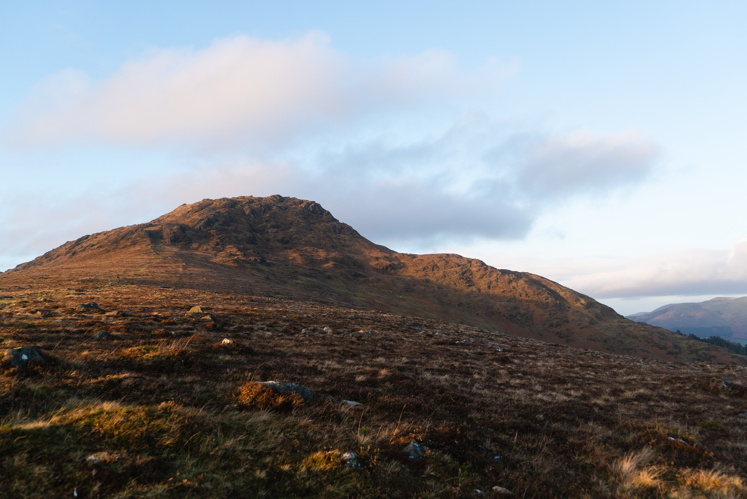
I think part of why I love these hills is how rugged they feel despite being at relatively low altitudes.
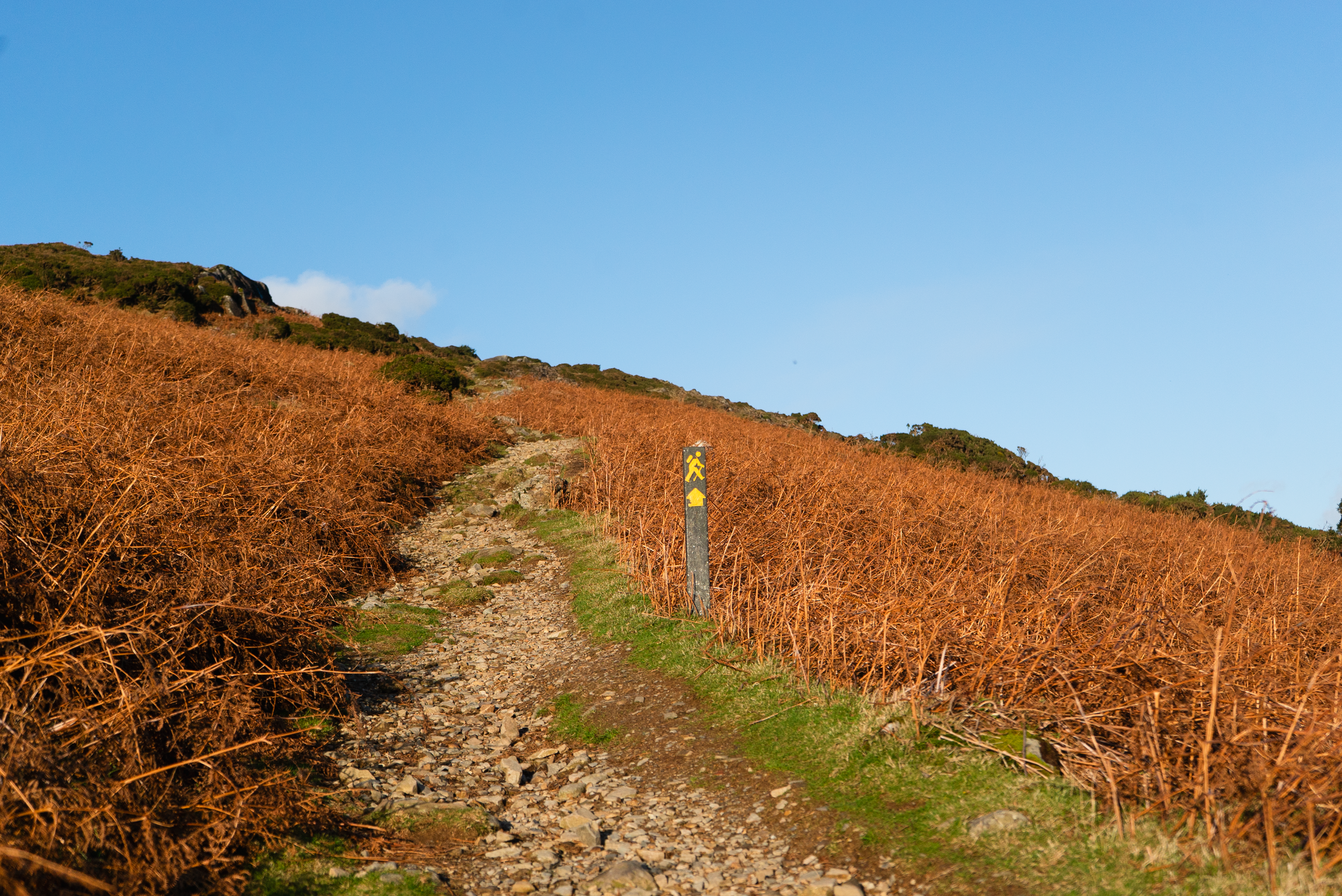
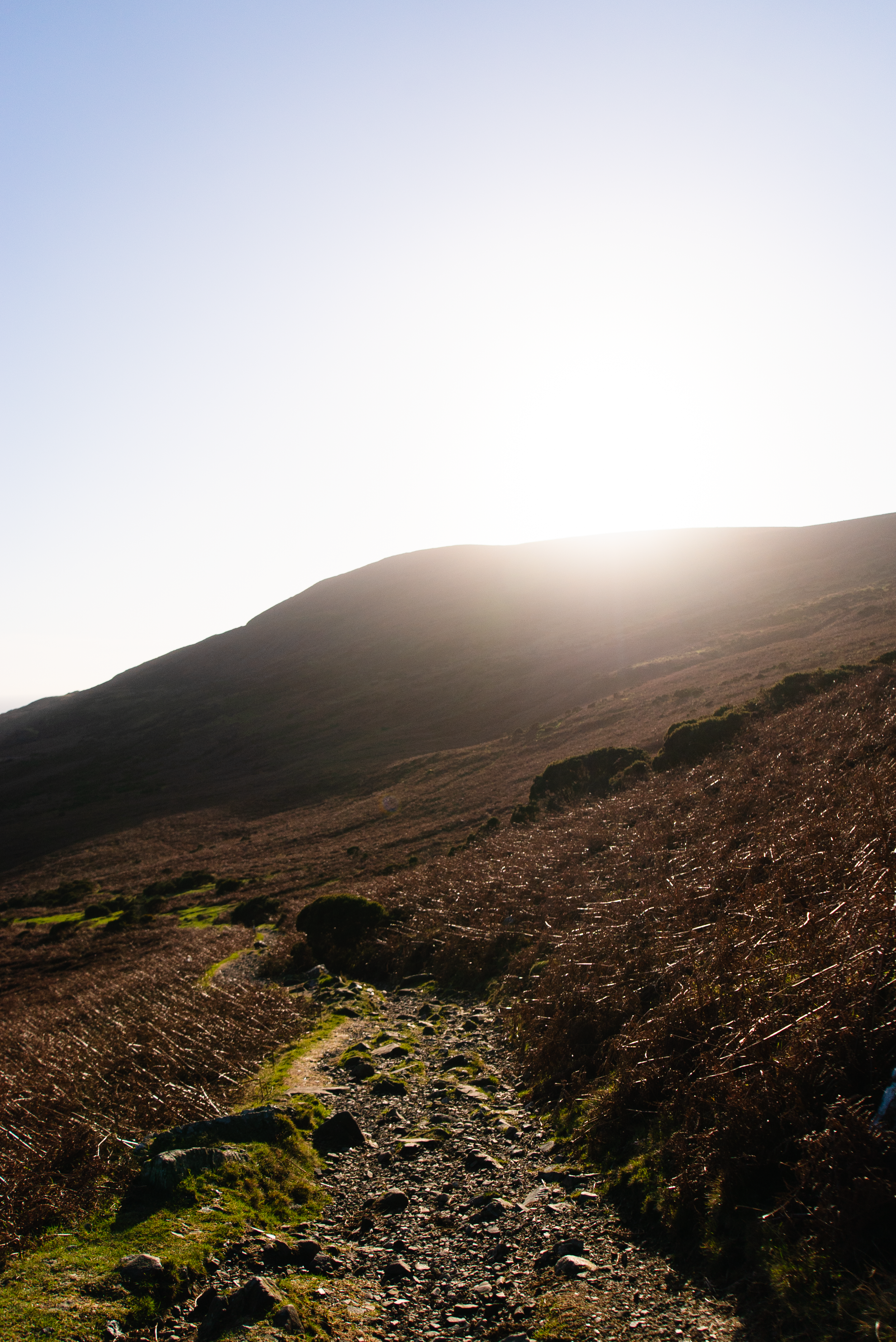
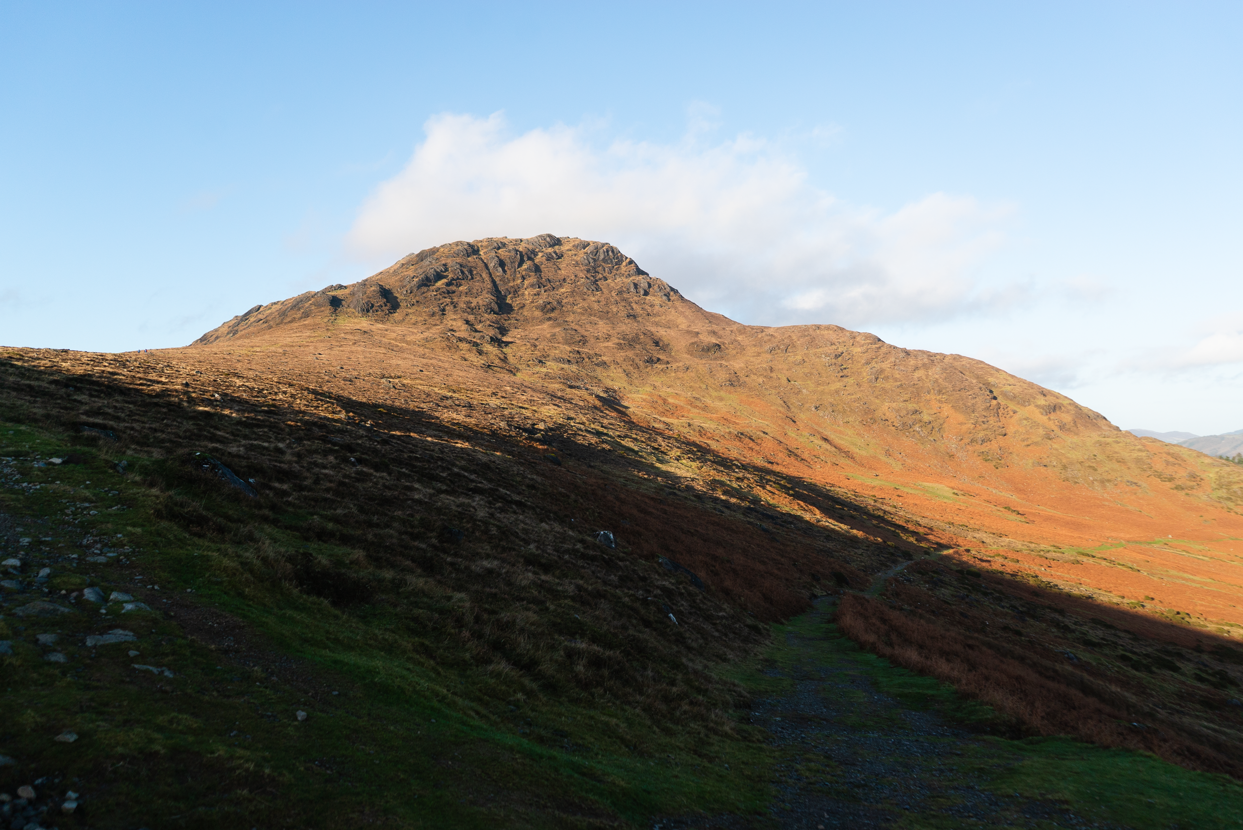
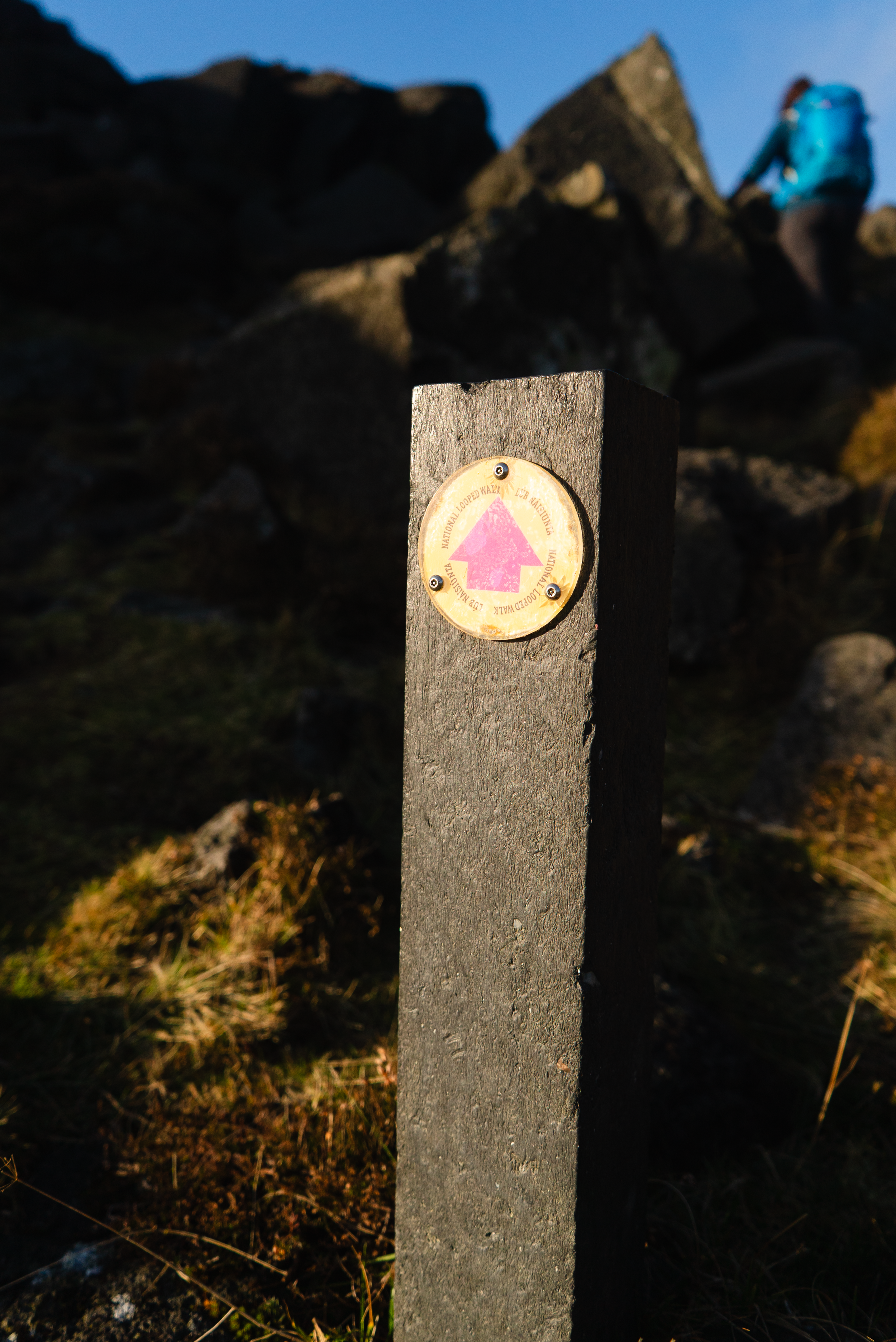
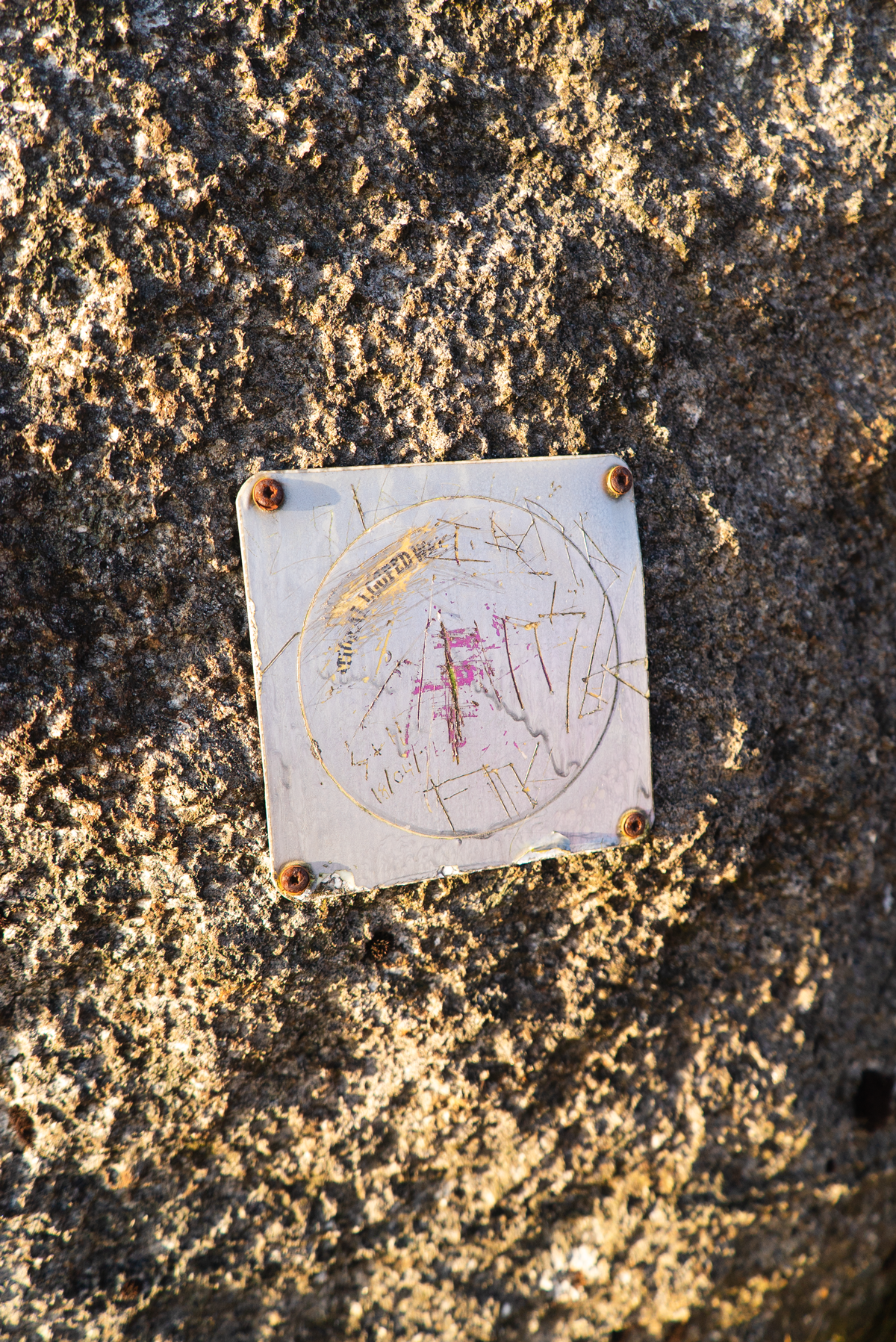
Making it up into the col (or saddle), we get to the high point of the Tain Way. Looking out to our right towards the summit of Slieve Foye there is a warn path across the hillside. There are some posts / markers across the hillside, but patchy and inconsistent.

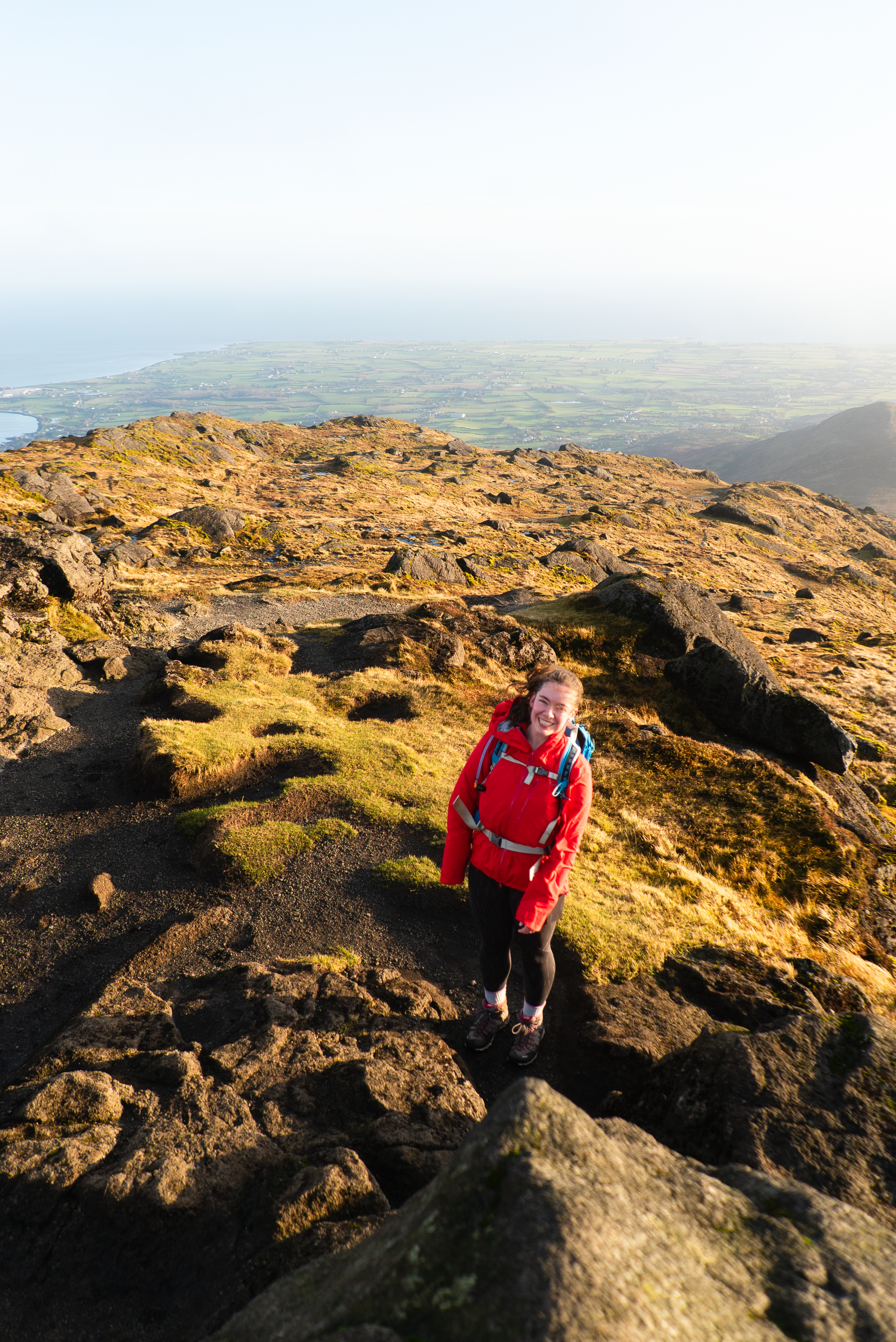
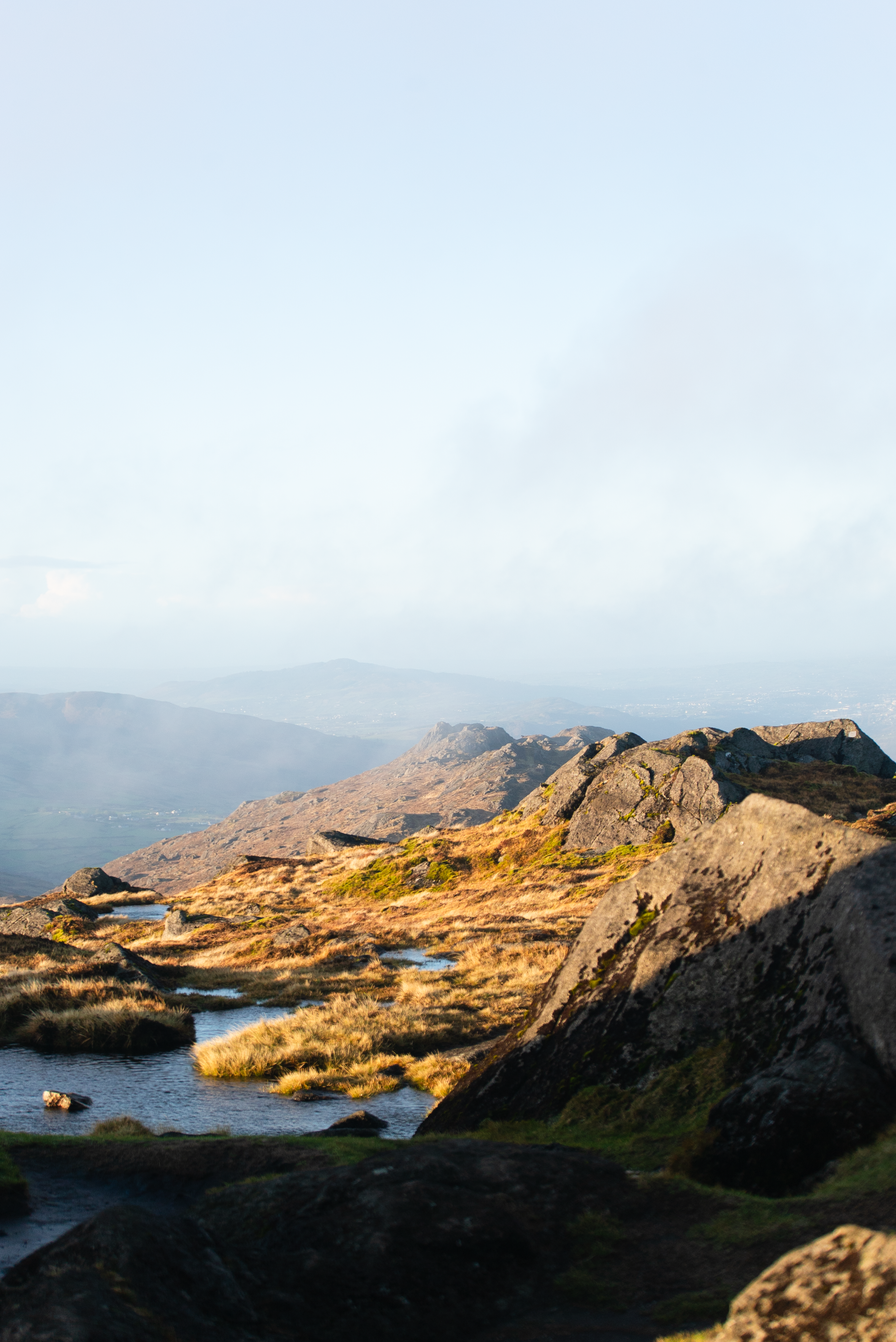
As you get closer to the summit the path becomes fainter, with different strands crossing and sheep trails offering tempting paths that veer off around the hillside.
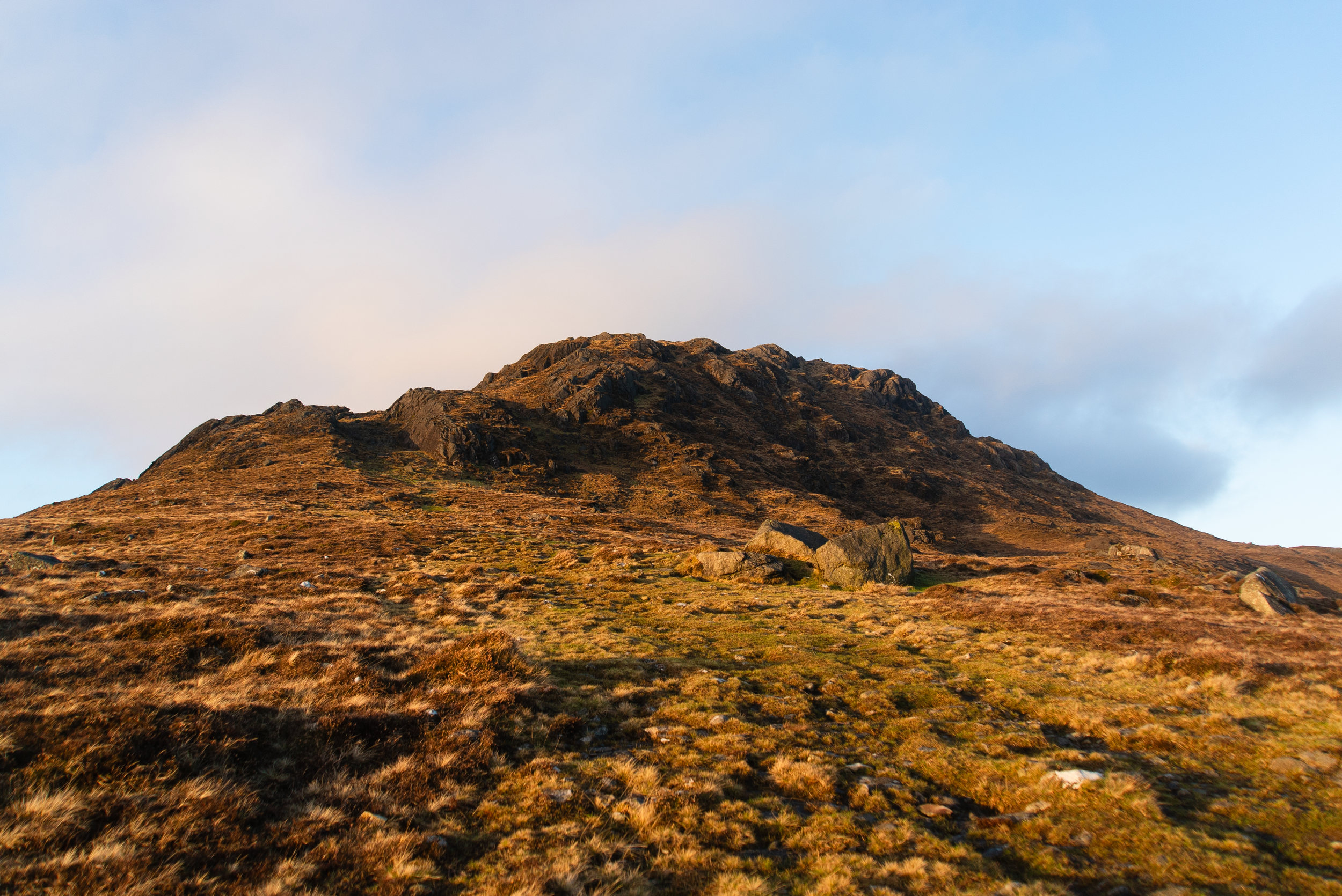
In December the ground can be quite wet underfoot (as we experienced), but overall this hill has enough rock that it’s not going to disintegrate into a boggy soup under you. The last kilometre to the summit is open mountainside with small cliffs. There are several stony outcrops that act as nice windbreaks if you’re thinking of stopping for a snack or water break.

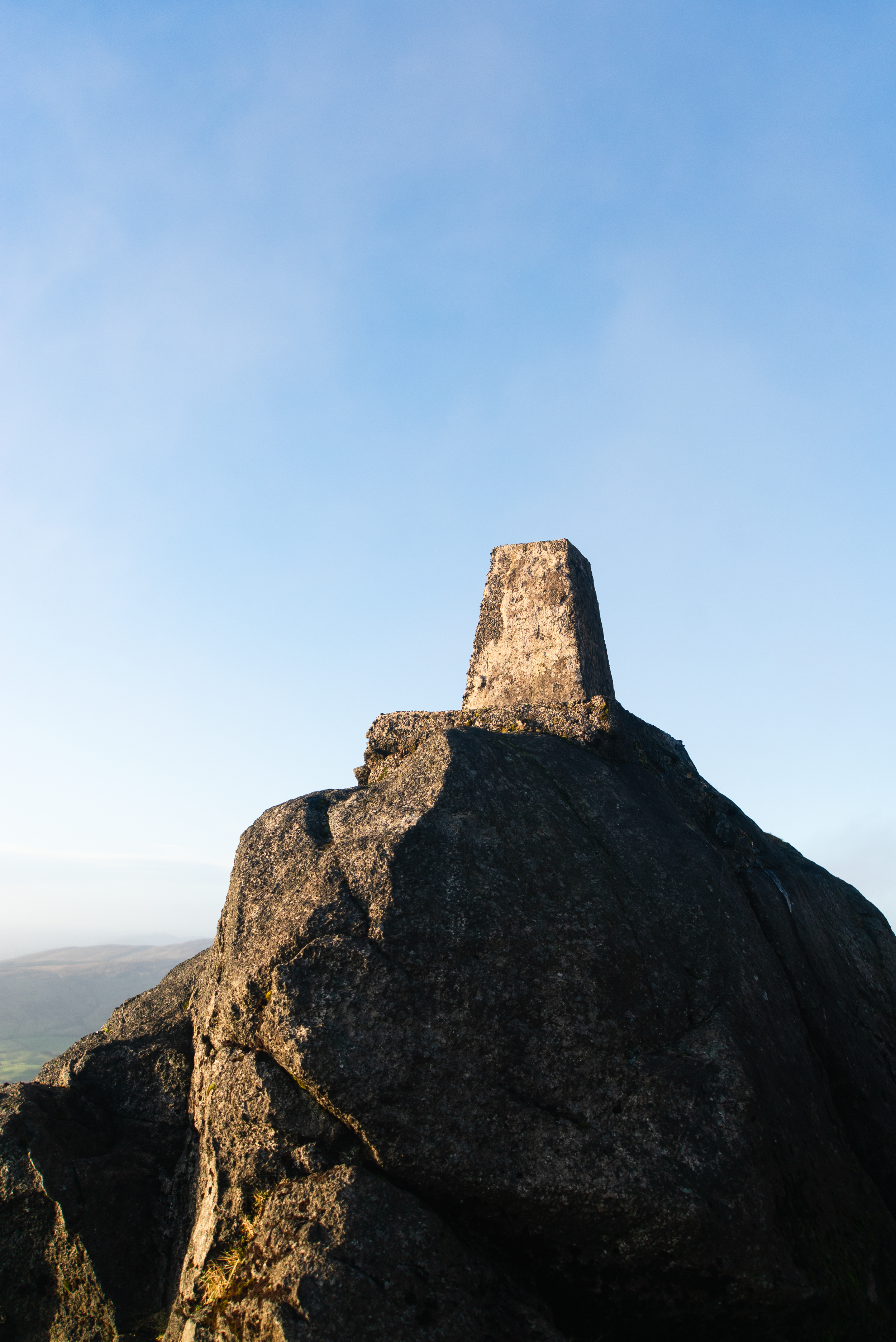
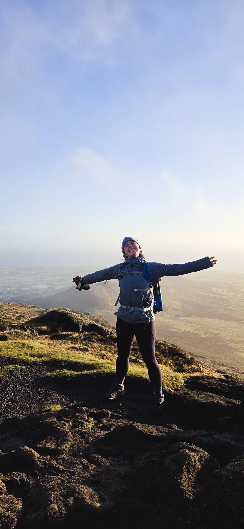
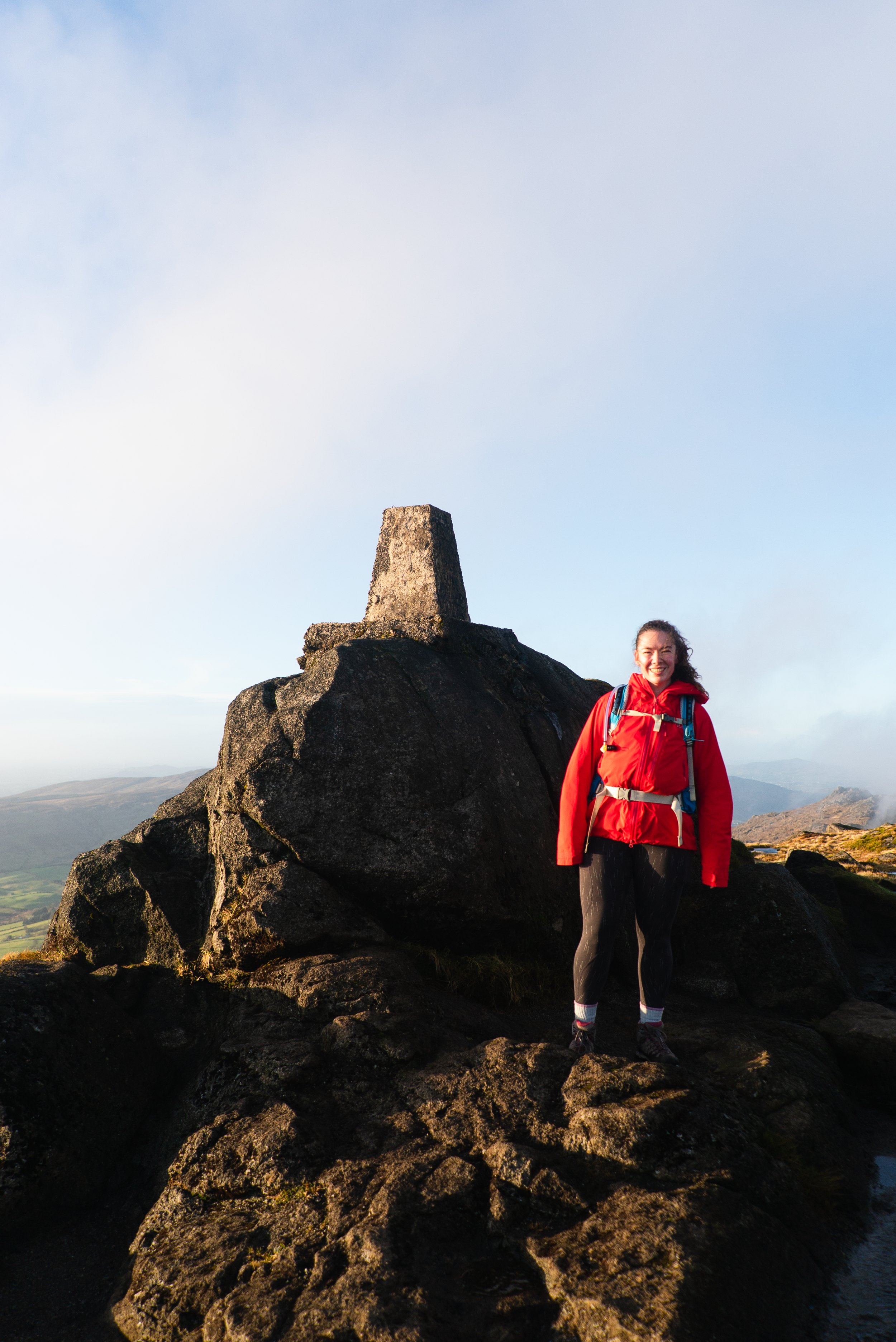
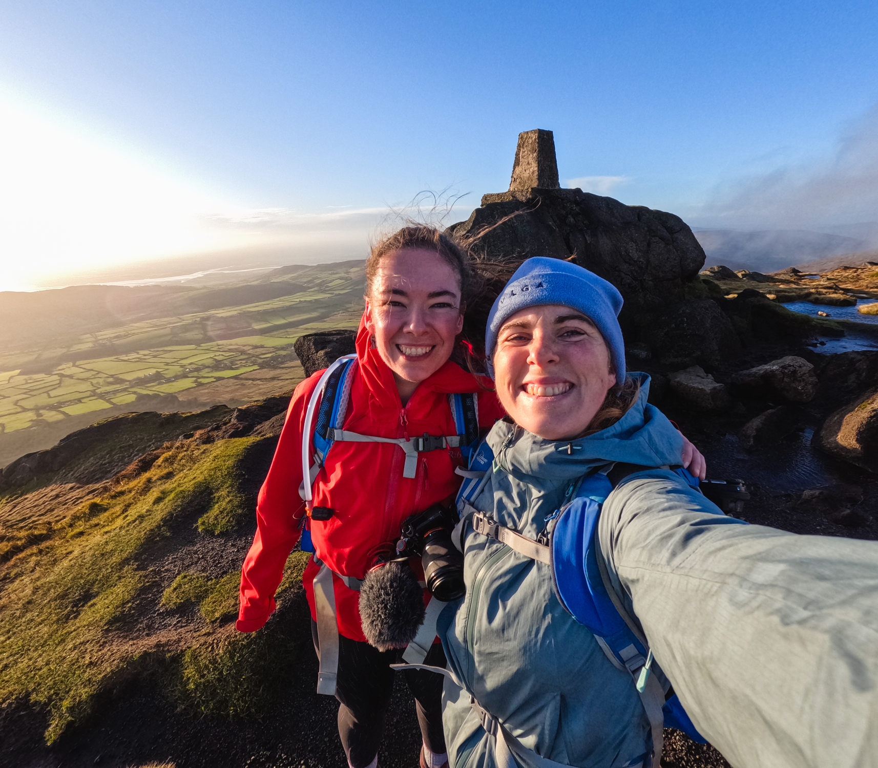
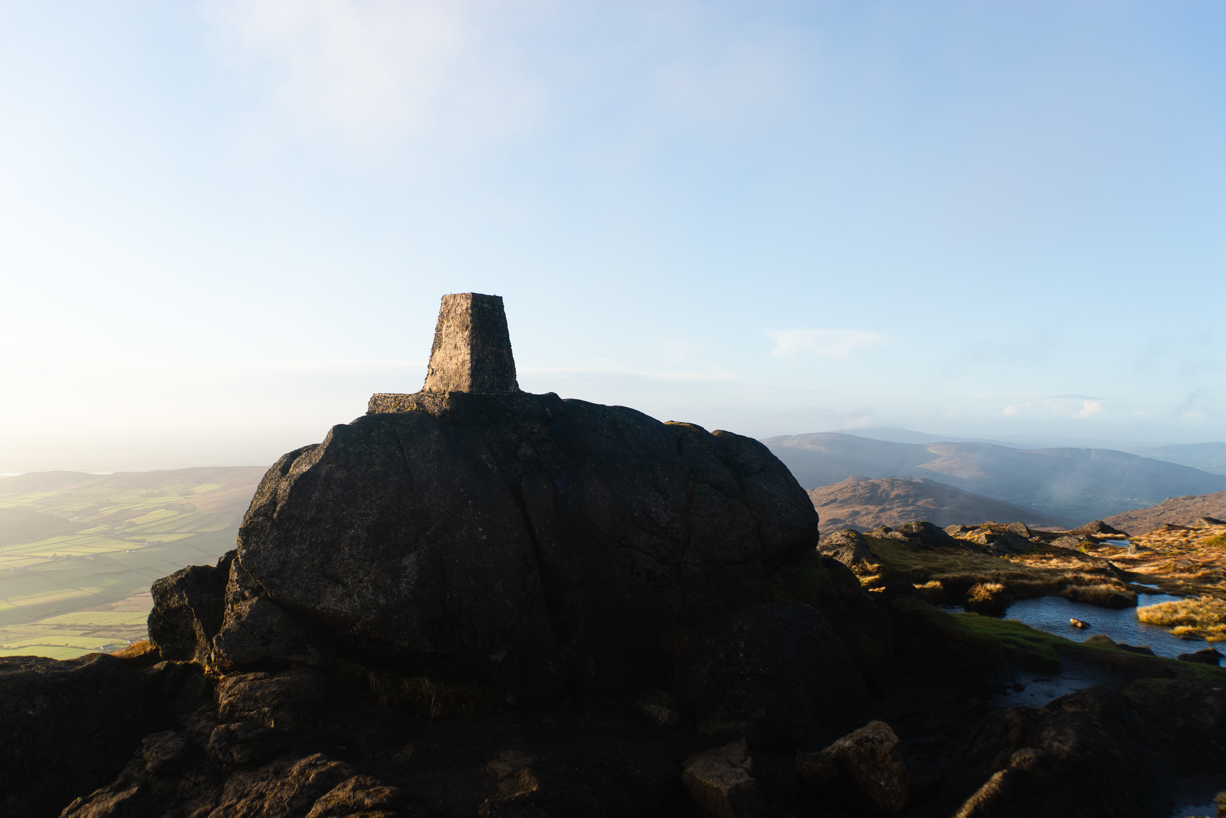
For a December afternoon, we were incredibly lucky with our day out. Reaching the summit the wind hit us full force once more, and so we spent a couple of minutes up there admiring the trig point and the extended golden hour that this time of year offers.
From here it’s possible to do a loop out across the western summit and descend down to the forest on the northern side, following the Tain Way back to Carlingford - I’ve done it before during the summer, and it’s lovely. It’s walked less, so only for those comfortable with route planning and mountain ground.
Our day was an out-and-back adventure, so from here we re-traced our steps down the hillside. On the return journey we stuck to the Tain Way the whole way into the village again. I think this added a small bit to the distance, but it’s a more switch-backing descent on small lanes, which I knew our knees would appreciate. It also meant that we would definitely make it back to the van in daylight.
In Carlingford we got a bag of chips each, and as we made it back to the van I saw the sun disappearing off the summits of the far-off Mournes. Every time I visit this corner of Ireland I leave happy, and with another promise to come back to explore more. I would love to have a couple of days to document the National Looped Walks around the Cooley’s - maybe this summer? Only time will tell.
Further exploring
Other trails in the area:
Ravensdale Forest (Coillte website link) which I got to explore as part of the Boyne Valley Trails Festival
Historical sites to visit:
Coffee/food options:
Finished my last hike with delicious chips at the Roma Takeaway
Ruby Ellen’s tea room for a classic afternoon tea feeling