The Dublin Mountains Way Overview:
Official length: 46km
What we walked: 54km
Trail difficulty: 2.5/5
Trail Quality: 3.9/5
Views/area: 5/5
Camping/Accommodation: Dublin is of course full of accomodation. In the two suburbs that the trail starts/finishes in there are accomodation options. We walked past a place called "Kat's Cozy Lodge", on the trail at about two thirds of the way through.
Camping: Definitely possible, although we didn't on this trail.
This is trail 14/42 in our project to walk every single National Waymarked Trail of Ireland. This was us from day 78 - 80.
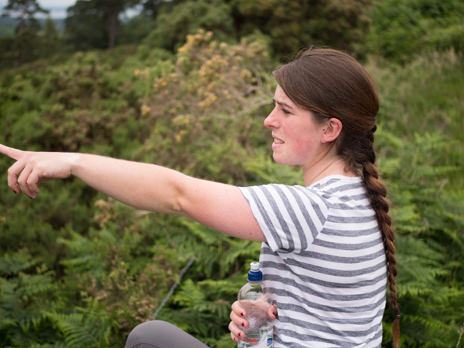
For my birthday I decided I wanted to visit Dublin, see some friends, take some time off and wander around pretty places. It seemed like a logical time to also do the Dublin Mountains Way.
We walked the Way from Shankill to Tallaght. Because we were staying in Dublin, we decided to try and just take public transport in and out and do the trail over two days. The only problem with this plan is that there isn't transport to half way along the trail.
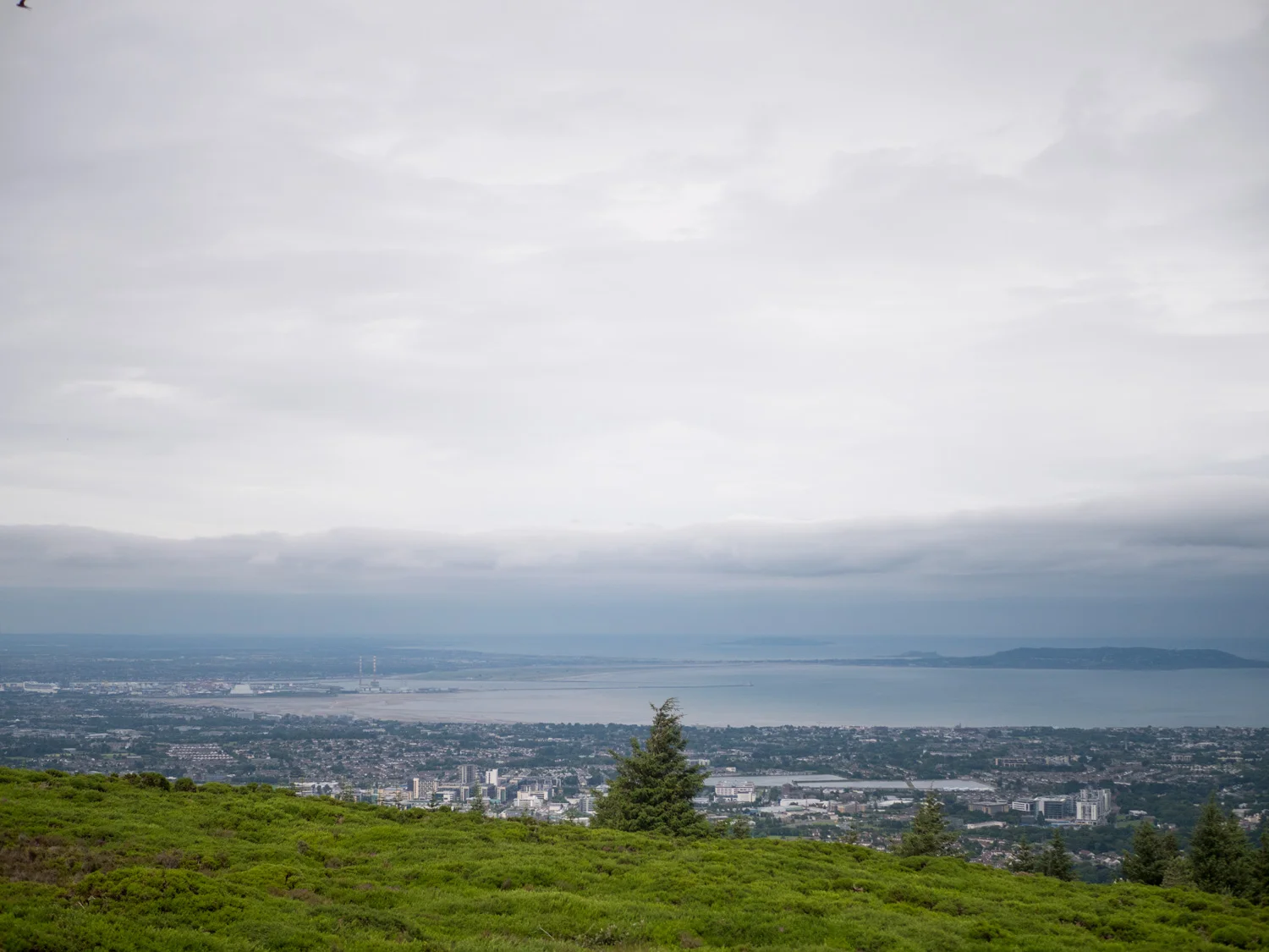
So on day one we set out and walked from Shankill to Kilternan, about 8-10km of walking. We took it easy, enjoying the views back out over Dublin Bay and as far south as Bray head.
The start of the trail is great, immediately leading you out of Shankill village and feeling like you've left the city. The signage isn't great, so would advise bringing maps (they're on the Dublin Mountains Way site, sadly with no grid, but pretty decent), as we definitely had some questioning moments all along the trail.
Once you leave the forest at the scalp wood, be prepared for a very long road section. The first leg is from the Scalp to Kilternan. The road is busy, but there's a footpath the whole way. If you're just out to enjoy the good bits, theres a Dublin Bus that can take you up the road (the 44) but it only goes once an hour.


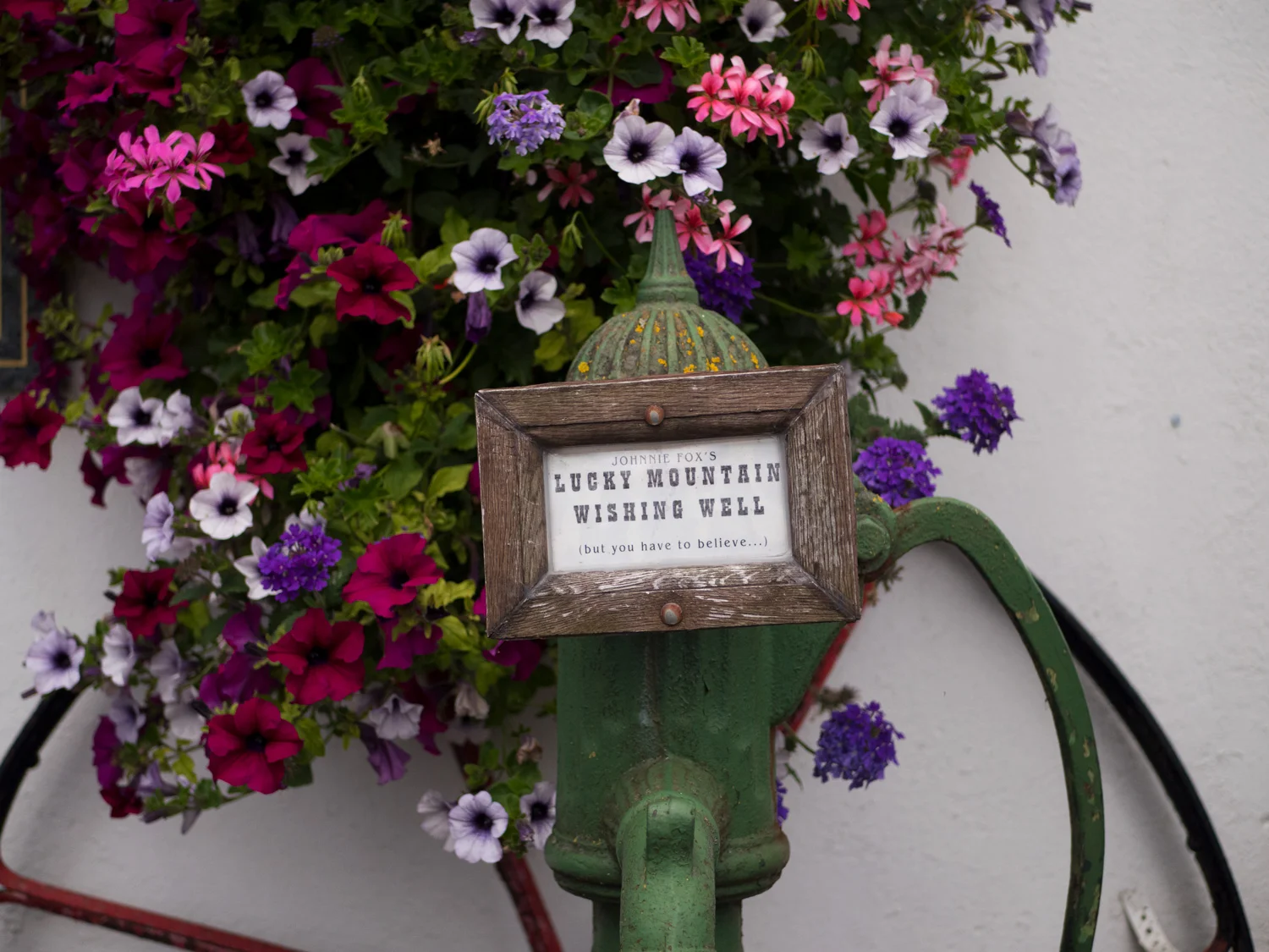
Day two: The second leg is from Kilternan to Tallaght and up to Glencullen there is no footpath, and still just as busy a road. It wasn't that interesting, but it was fine, we made it alive and all that. Around here was Johnny Foxes pub - and there is another bus that can take you out here. This is the last easy insert place that I noticed - without a car of course.
The coillte forest areas had great info boards that let you know how long (km and estimated time) each section roughly was, with some interesting information about the area too.
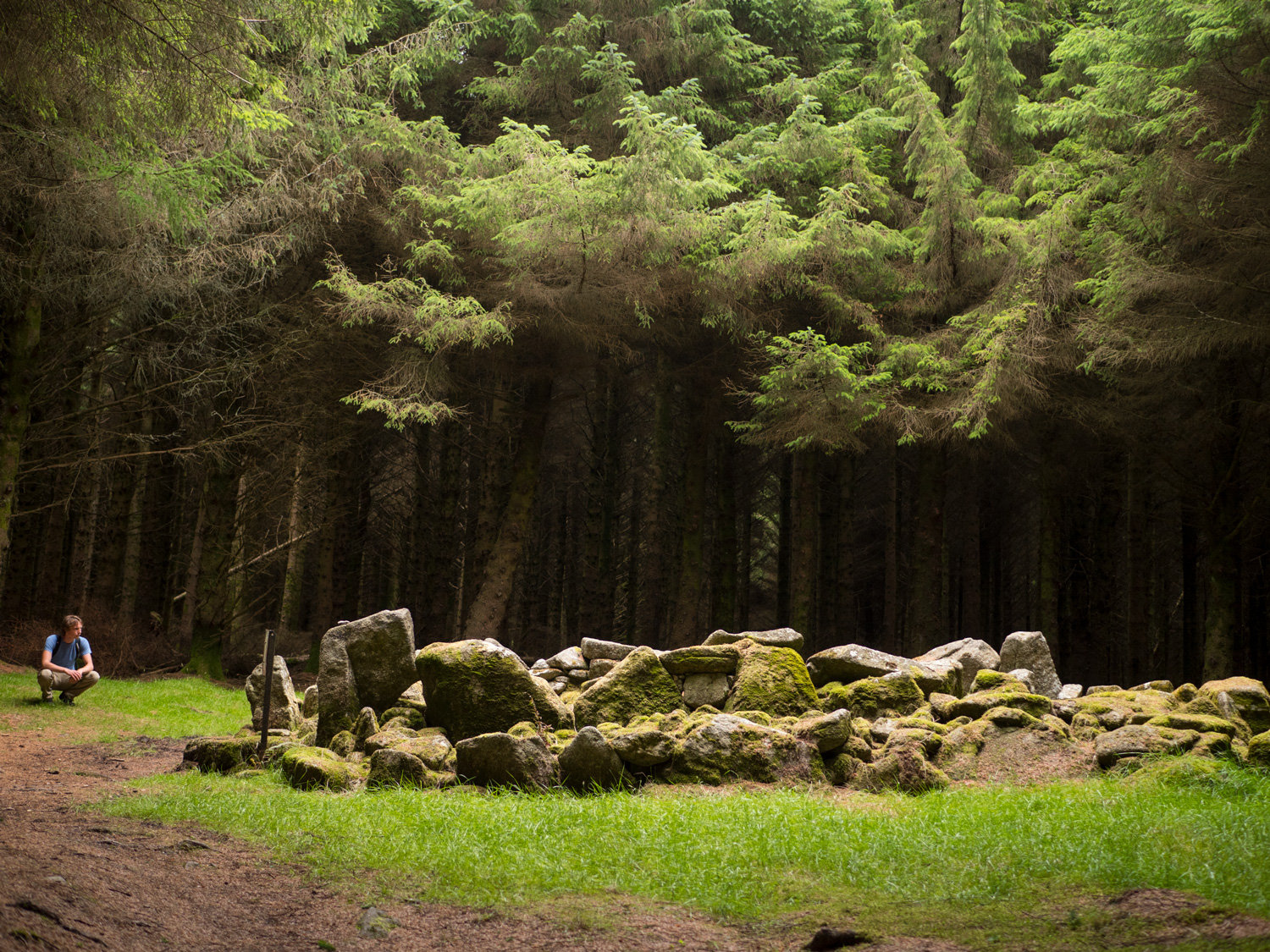
There is one point where the trail turns left, and if you look right you will see a tall kind-of cone shaped building. At first we wondered if a wizard lived there, but it turned out to be an old lead mine. It was amazing to wander around, would recommend.
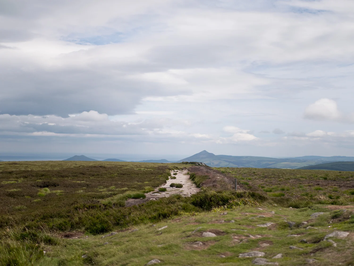
The views of Dublin all along this trail are amazing. Every 10 steps we would look out and stop walking yet again. Three rock/tic nock was great, and then the walk up to fairy castle was even better. There's a cairn at the top you can stand beside while you pant and marvel at the city below you.
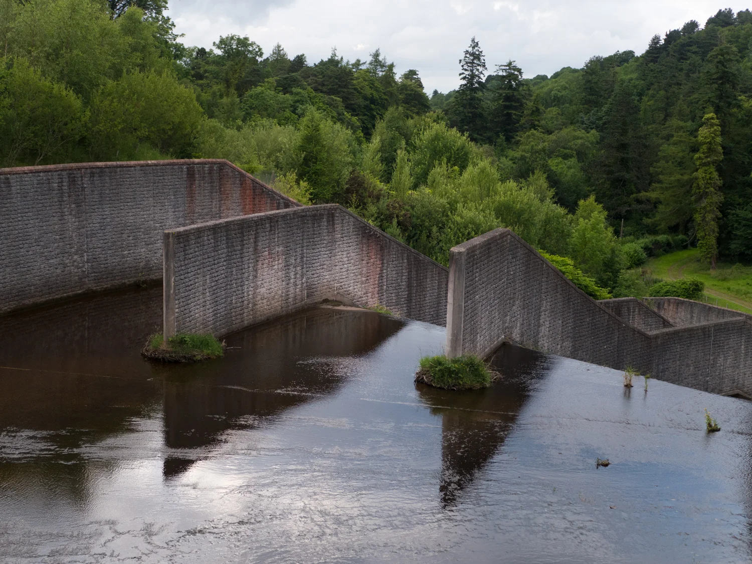
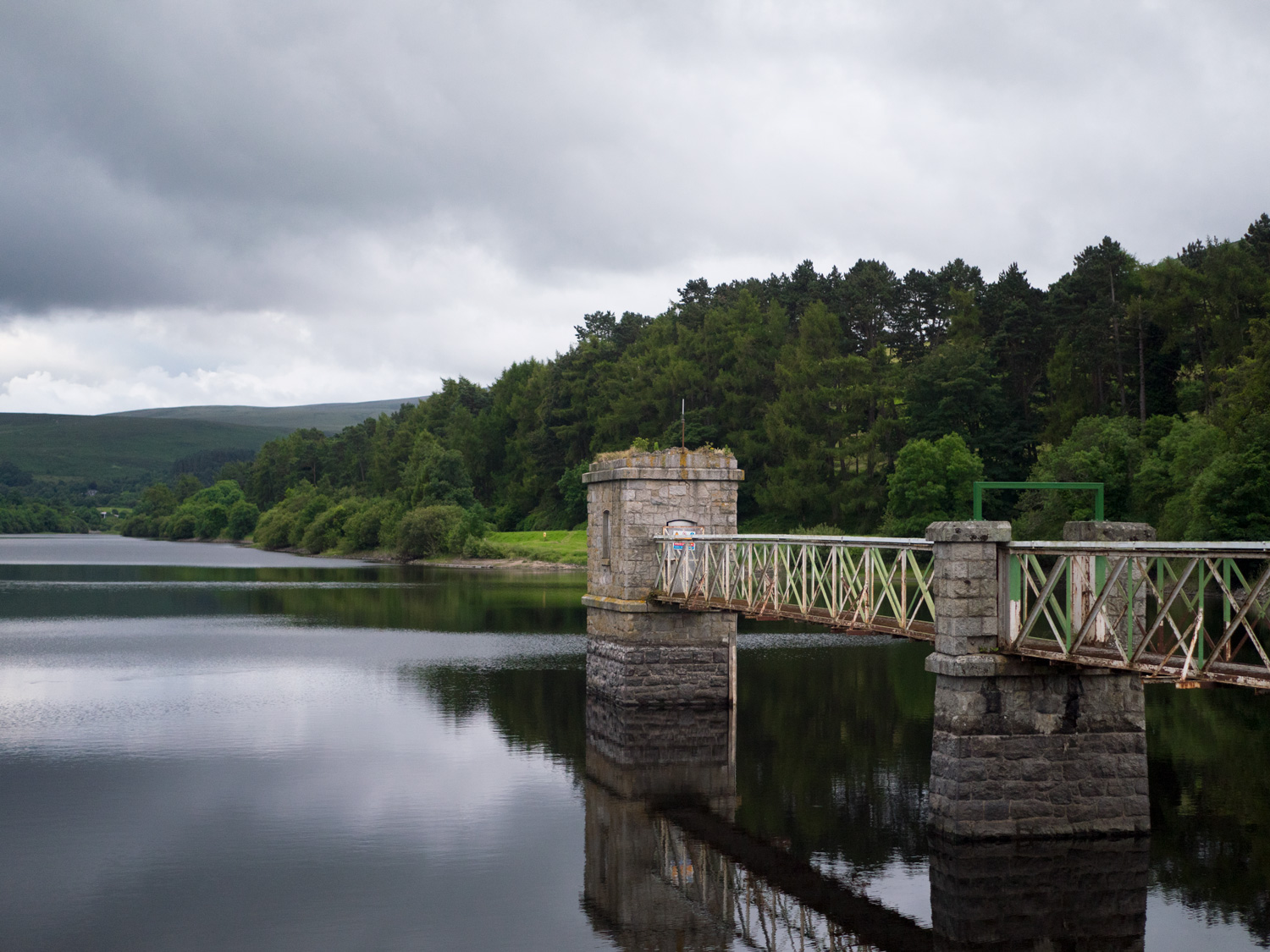
It's around here that the Wicklow Way and the Dublin Mountains Way intersect. They share some gorgeous trail, and then part again after a few 100metres. The forestry sections slowly fizzle out once you leave the Hell Fire club area, leaving you to wander mostly empty back roads. As I said earlier, Elvis was missing most of the time, so we relied heavily on the free maps. Although On road, the views of the area are still great as you wind your way around the side of a mountain and slowly walk back up to the top of the next valley - which was quite a long way around. I was tempted to see if there was a way just straight over the mountain. What makes this valley so special are the reservoirs. Pretty much the rest of the Way is taken up by walking along the reservoirs outside of Tallaght, which were gorgeous, especially in the evening. It's still mostly access roads and the like, but the water looks so still and the dams are huge and old and majestic.
it was right at the end of the reservoirs that my camera died. So close! And yet so far. The last walk into Tallaght is fairly short, after making the way through the rest of that day. Tallaght was also quite.a nice place.to walk through at 10pm at night, with the pink glow of sunset still lingering around. We jumped on a bus back into town and rested our feet.
Our second day ended up being 46km long (we'd walked 48.2km by the time we were in bed) which was pretty cool, I never thought we would break 40km. Of course, we had no big bags and had a bed to go home to, so it's not something I think we could ever repeat on an average day of walking. But it was definitely cool to hit such a milestone.
I really enjoyed the Dublin Mountains Way, possibly because I went in with no expectations, as the only trail that people talk about around Dublin is the Wicklow Way.


We’ve made our own Tough Soles maps! These maps are free to use, remix, and redistribute under CC-BY 4.0. All you need to do is attribute us! Here are the Dublin Mountain Way maps, and here are all the maps we’ve made.
If you like our blog you can subscribe to it here!
If you really like it, you can support us on Patreon