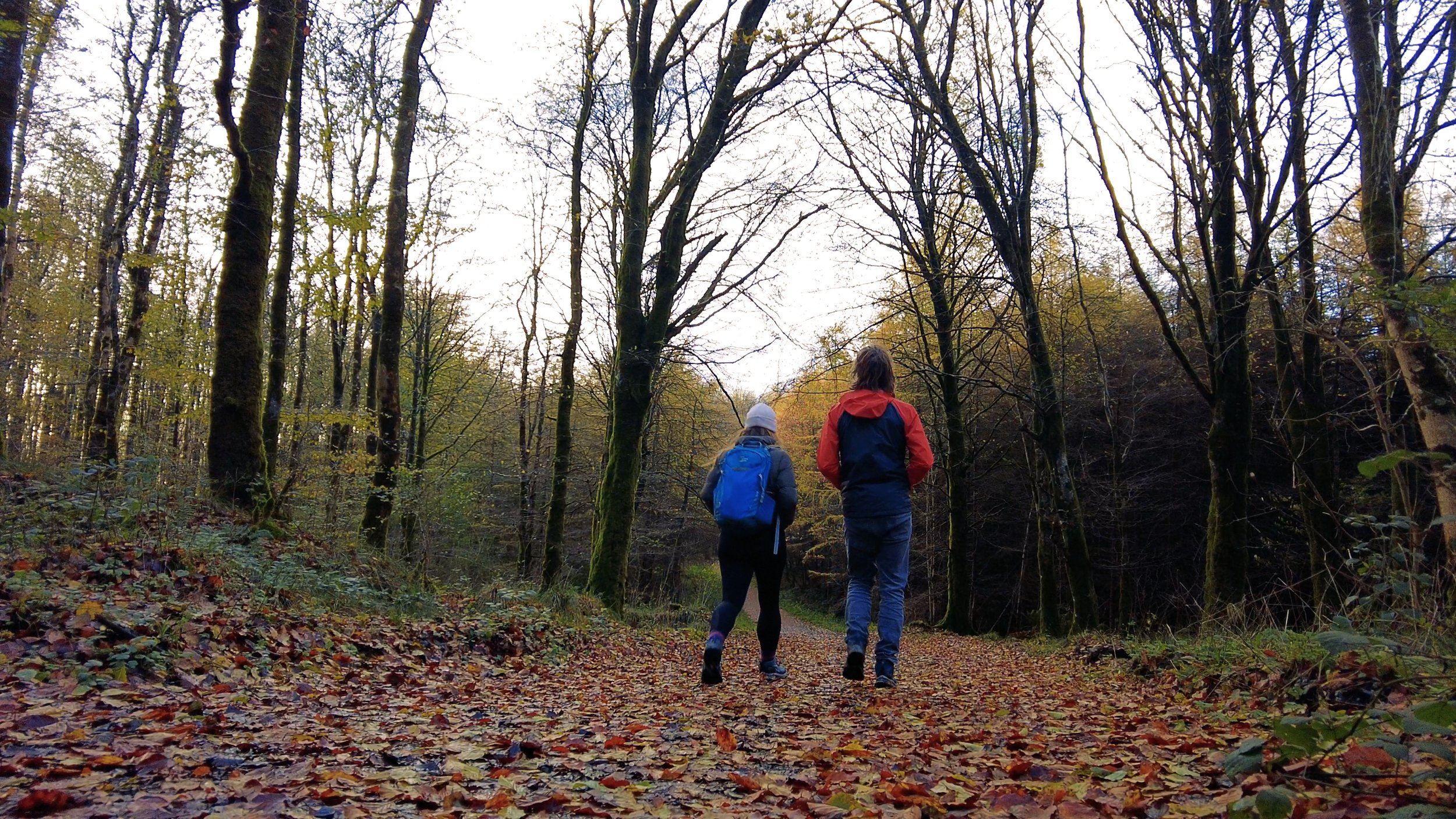
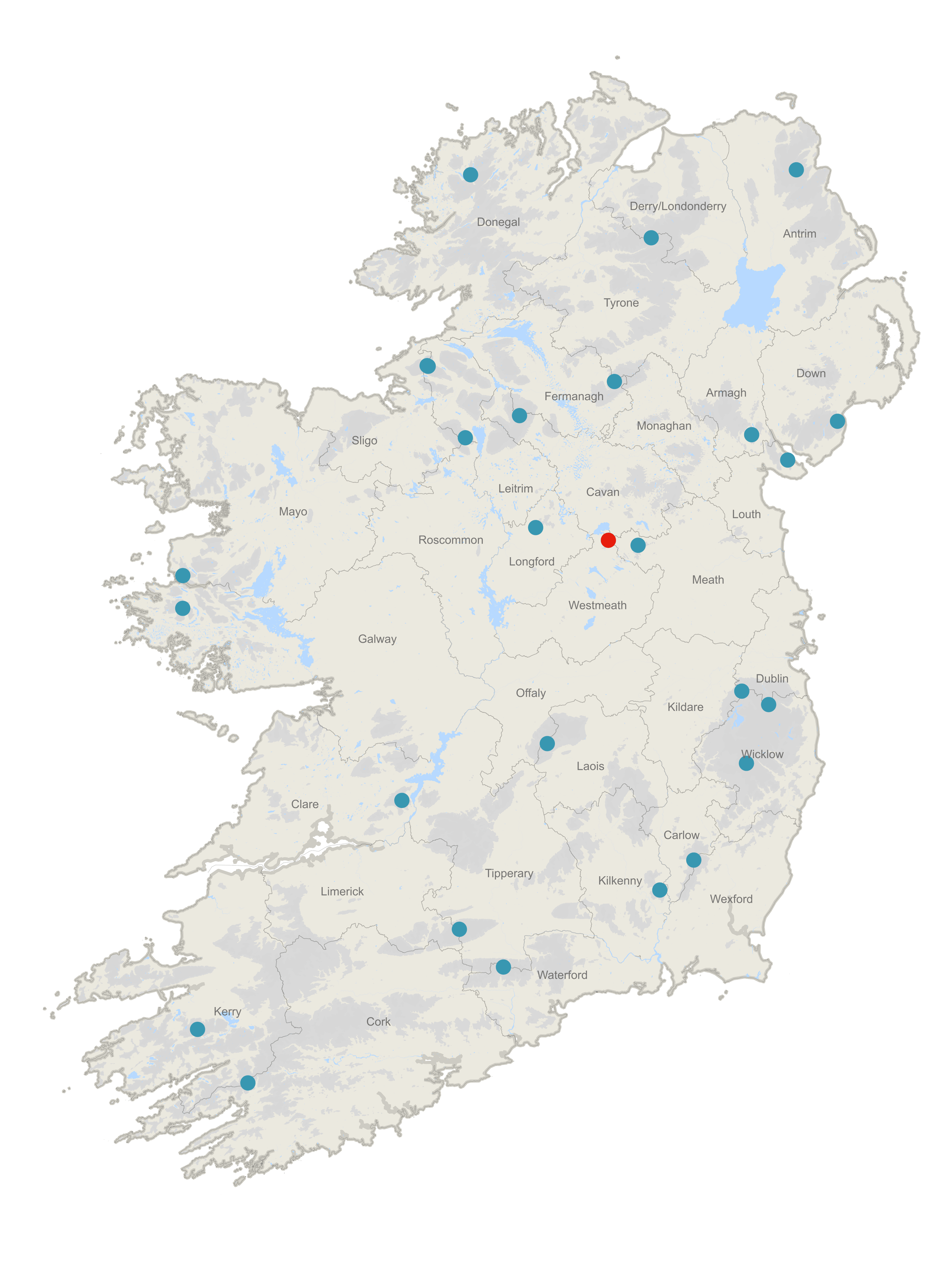
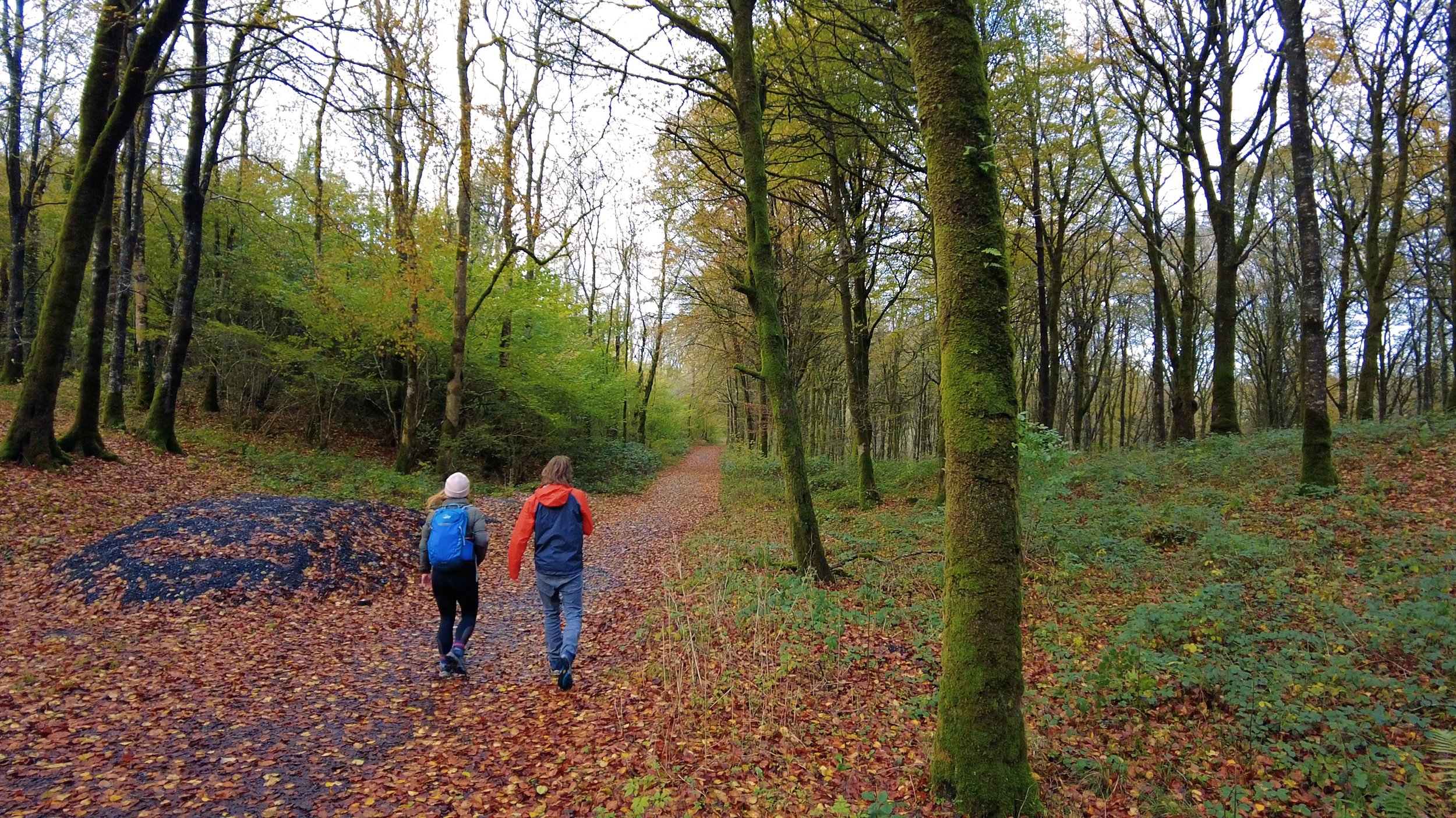
Mullaghmeen is Westmeath's County High Point, and also the lowest County High Point on our list. However, what is small is mighty, and we had an amazing afternoon walking through the forest that now covers Mullaghmeen. It is Ireland's largest Beech plantation, and possibly the largest in Europe. There are four walking routes you can follow through the forest, with a wide variety to distance and difficulty. We followed the blue route as that was the one that brings you to the summit, and was roughly 5km long.
County High Point: Mullaghmeen (5/32)
County: Westmeath
Elevation: 258m
Difficulty: Easy
Our route distance: 5.5km
Views: Pretty beech-y
Arriving to Mullaghmeen in the late afternoon, Carl and I pull into the large Coillte run car park at the end of a long driveway into the forest. Mullaghmeen is a Coillte recreational area, meaning that while parts of the area might be used for commercial forestry practices, a large proportion of the time and effort the Coillte put into the area is focused on creating a space for people to be able to access and enjoy the outdoors.
There are two info boards - one listing the majority of the routes on offer. The distances range from 1 - 2km, to 8km or more. Handily, the info board details for us which route will take us past the high point (the blue one), and distance wise its smack bang in the middle of whats on offer at 5km.
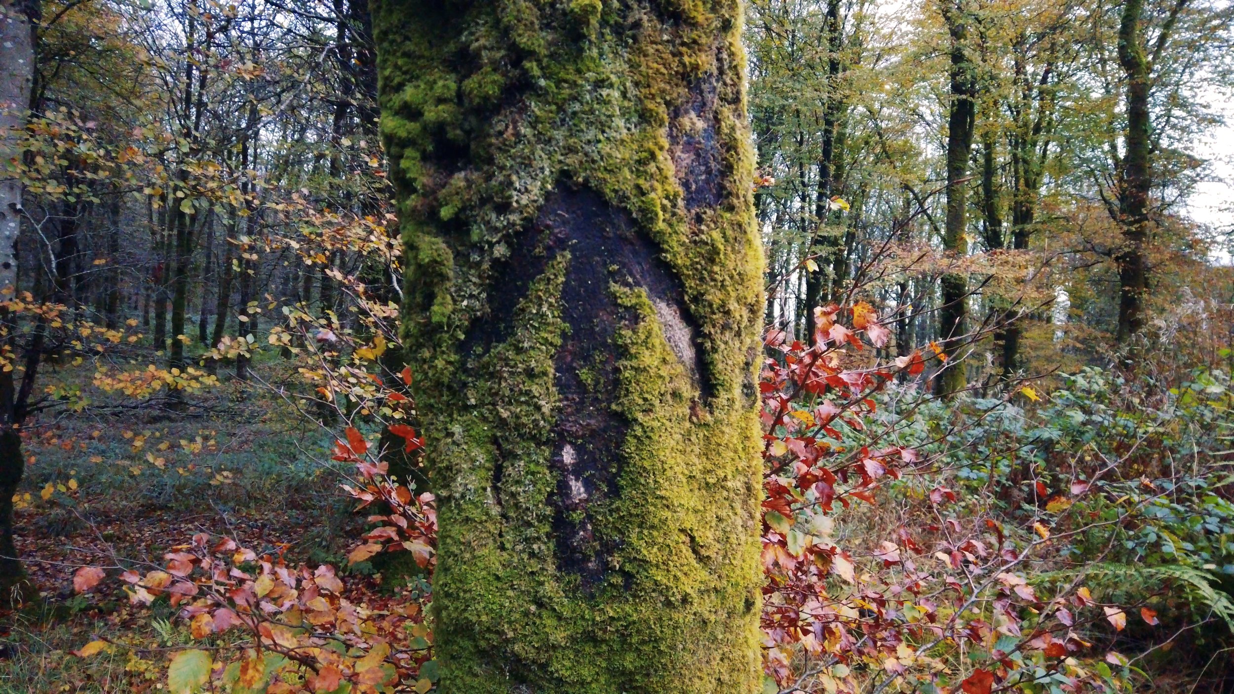
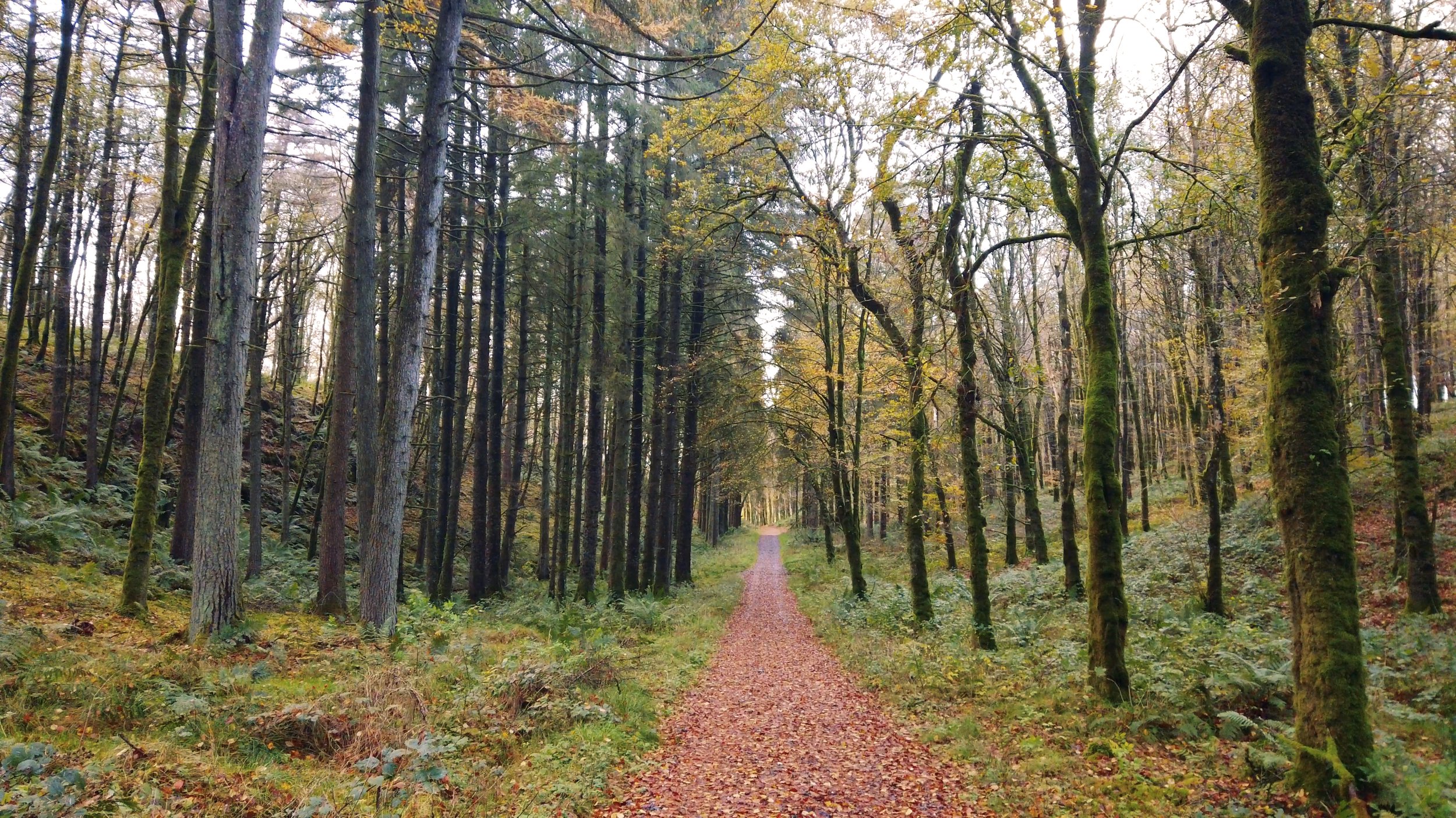
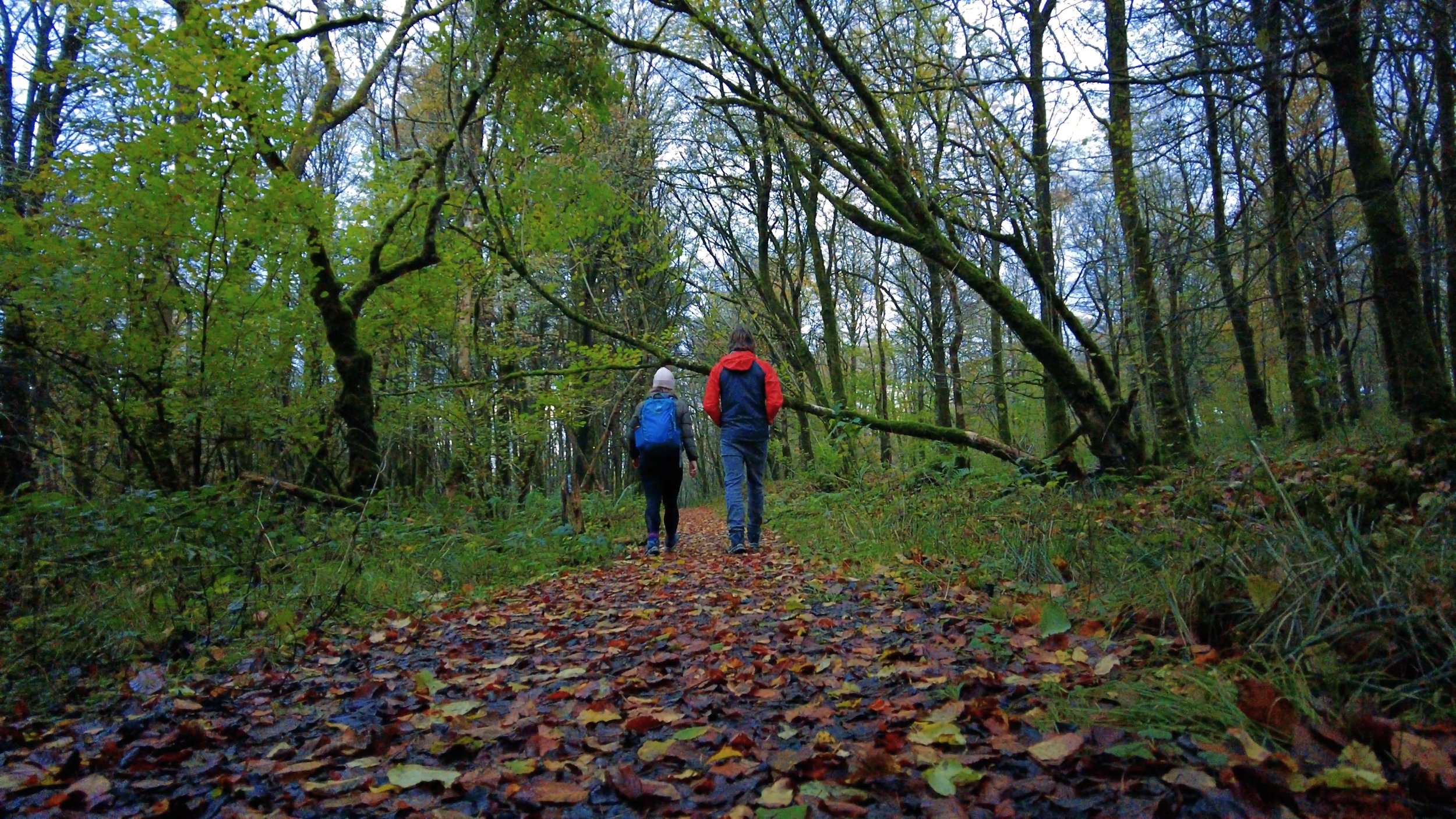
The trail follows wide gravel trails as it winds its way through the woodland - passing an arboretum of Irish trees (think tree zoo) that we walk a lap of as we pass it. Even though we’re walking the trail in early November, there has yet to be a cold frost or stormy weather, and so the trees are in their most vibrant hues of yellows, reds, and oranges. To me, this autumn has been the most beautiful autumn I’ve ever seen in Ireland.
After a kilometre or so of walking Carl stops for a minute, and I wait. He looks like he is listening for something, and I strain to try and hear anything at all. That was actually his point - even though we weren’t particularly remote, there wasn’t a sound of road or cars to be heard.
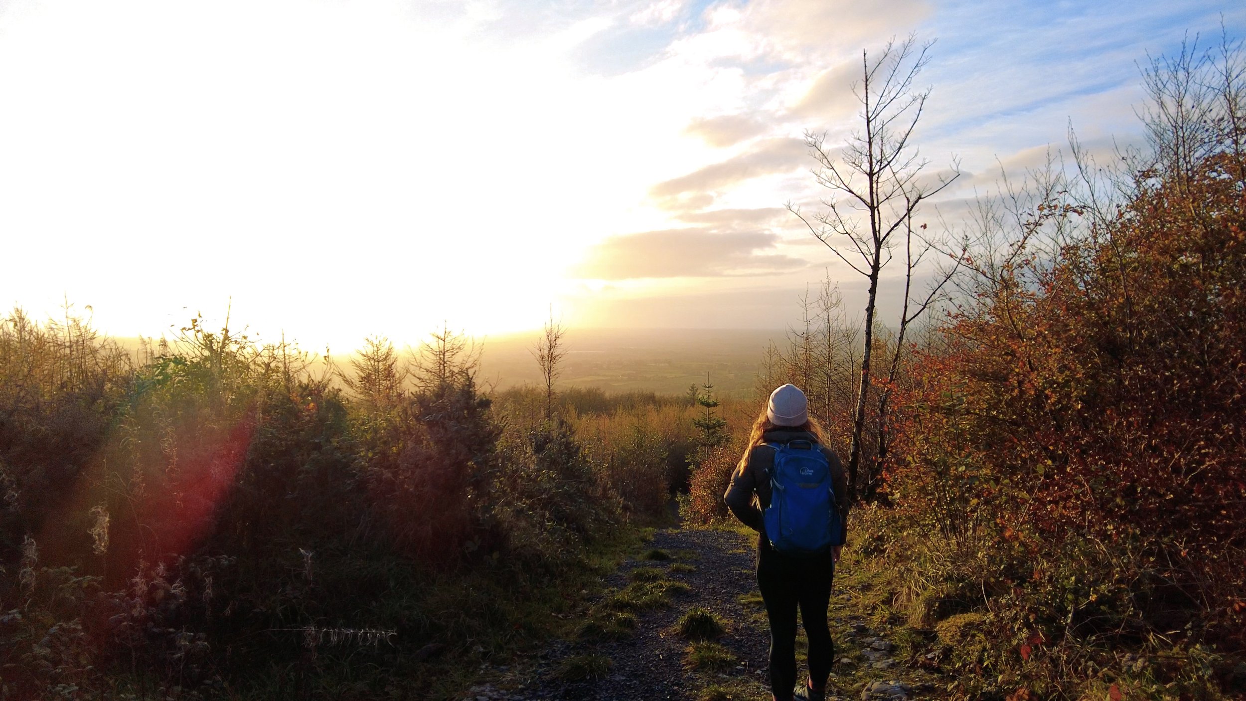
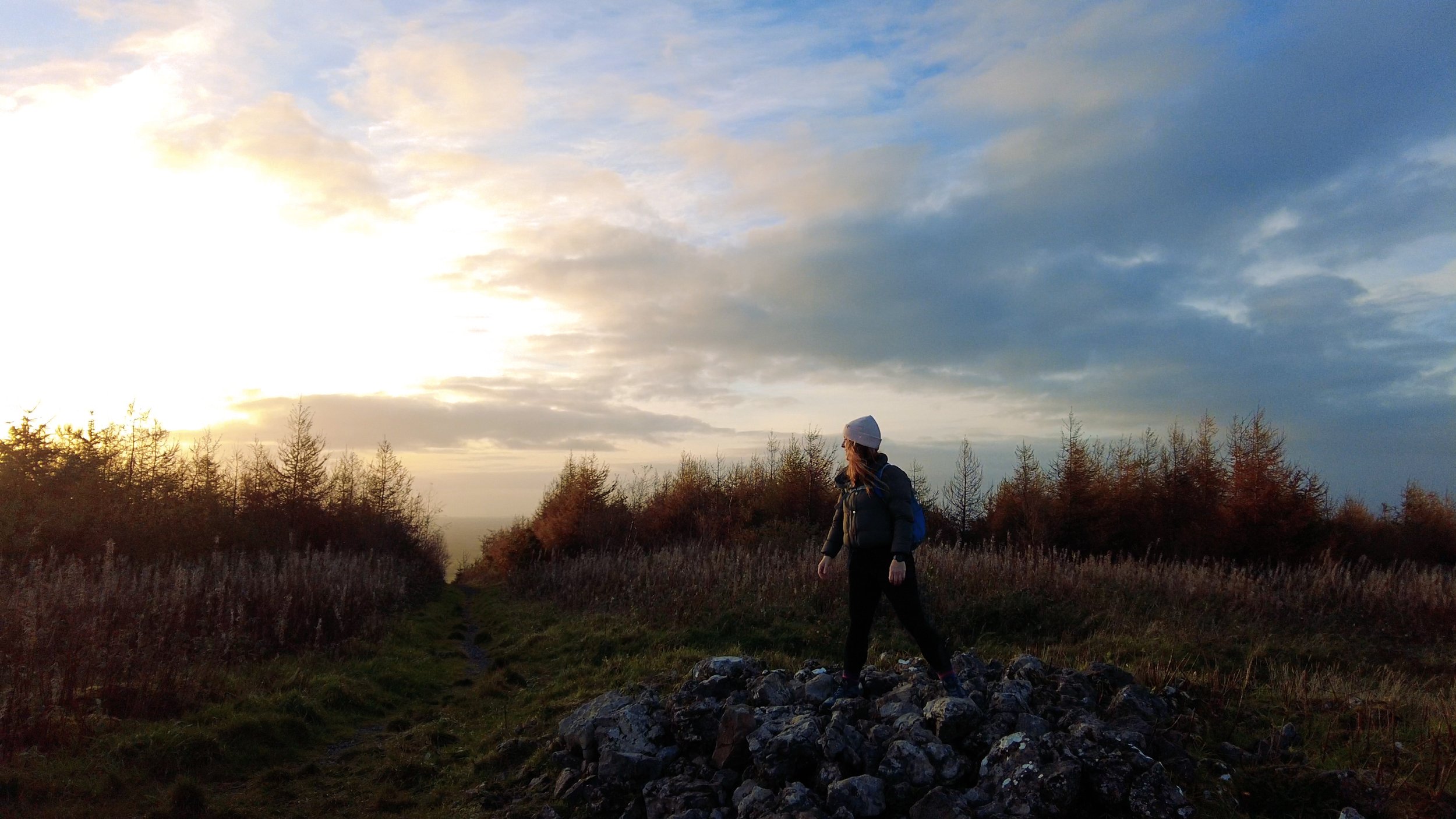
Even though this is a very low high point, there is still a short climb to reach the summit, and as we climb those tens of metres our heads pop above the tree line. Unintentionally, we’ve timed our summit to sunset and everything is golden.
Atop the hill there's a small cairn that really reminds you how a cairn is just a pile of rocks. We smile and gaze out at our unexpected hazy views, before steeply descending on the other side of the hill.
Following the route onwards, the second half of the trail is more "trail-like" and less gravelled, and we follow fun little undulations in the earth as we pass by old ruins and famine fields. To insure we don't need to take out the head torches we make the return trip a little faster than the walk out.
As we approach the car park once more, we pass a short but fully accessible trail - wide enough for wheelchairs, with smooth ground and plenty of trees planted around it to make it feel a bit more in the forest than simply a paved surface.
This isn't a particularly long blog post, because it was a pretty short experience. That doesn't mean that it wasn't a worth while one - in fact, I have a feeling that this will remain one of Carl's favourites of the whole series.
There is something for everyone here - we saw several families setting off from the car park when we arrived, and there are trails at a range of distances. While obviously cared for and managed, it didn't feel over done, and the tracks were much more understated and enjoyable than traditional forestry roads.
We say very regularly that "we'll be back" to a place or trail, but I genuinely believe it with this one. Especially because we'll be driving right past it when visiting it's neighbouring high point - Co. Meath.
The walks here can be done in whatever footwear and clothing you have available to you, although of course keep warm in winter and bring a change of shoes and socks if what you're wearing is particularly porous.
To learn more about trail and hillwalking grading, click here.
To learn more about the County High Points of Ireland, click here.

