The North Kerry Way Overview:
Official length: 45km
What we walked: Unknown
Start/end points: Tralee/Ballyheigue
Trail difficulty: 2.2/5
Trail Quality: 3.9/5
Views/area: 4/5
Camping/Accommodation: In Tralee there's a great campsite (Woodlands camping). There are B&Bs everywhere.
Public transport: Tralee is one of the main towns of Kerry, so getting there is very easy. There is a bus from Ballyheigue to Tralee.
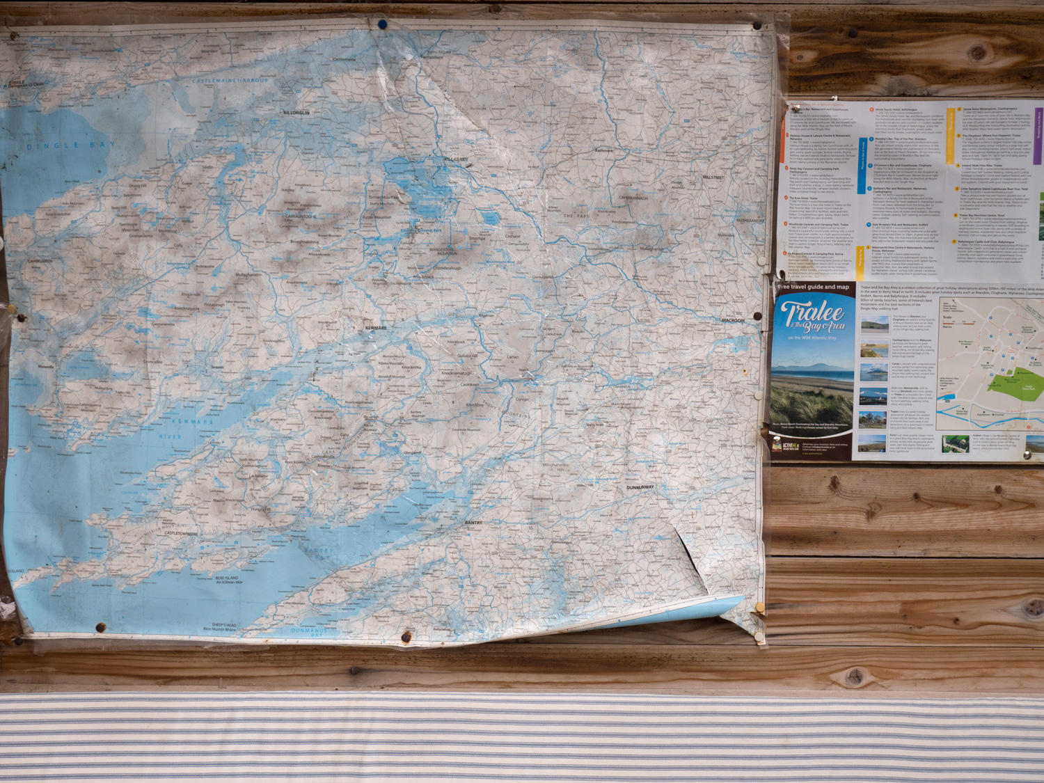
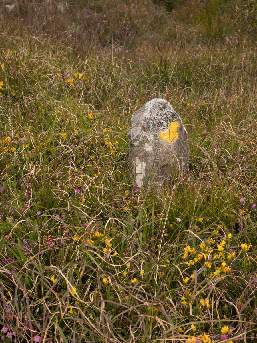
Maps: We’ve made our own Tough Soles maps! These maps are free to use, remix, and redistribute under CC-BY 4.0. All you need to do is attribute us! Here are the North Kerry Way maps, and here are all the maps we’ve made.
This is trail 18/42 in our project to walk every single National Waymarked Trail of Ireland. This was us from day 118 -120.
The North Kerry Way is the shortest of the walks in Kerry, so we decided to quickly tick it off the list before launching into the bigger trails.
The walk out of Tralee takes you along the canal and then along the coast up to Spa, which was a nice easy stroll. Also, in Spa there is a fish shop that had some of the best Seafood Chowder either of us have ever tasted.
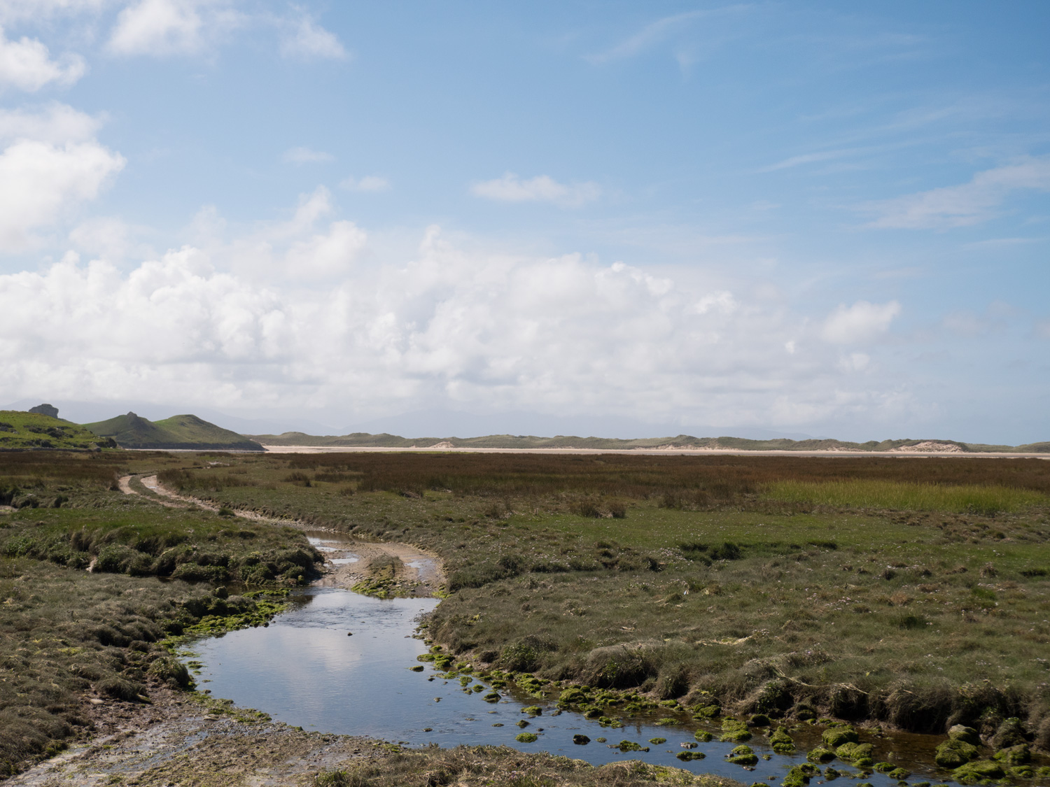
From there there is quite a long stretch on road. However, eventually the road brings you around a corner, and you can see the sand dunes. As we reached the turn off for the dunes we met a herd of cows lazily walking themselves across the road, with no specific destination in mind. Thankfully Kerry cows don't care about people (I guess they're sick of tourists taking photos of them), and we passed through them unnoticed.
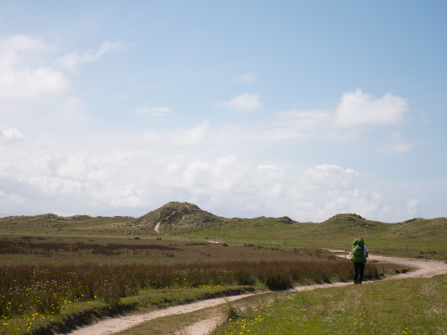
The sand dunes and the beach that followed were really something else. I'm sure all beaches and sand dunes are amazing, but this was our first proper walk along the coast, and getting to run in the sand (and then pant in the sand as I quickly remembered how much more strenuous sand is than soil) was amazing.
We finished our first day in Ballyheigue, and then went back and stayed again in the campsite in Tralee.
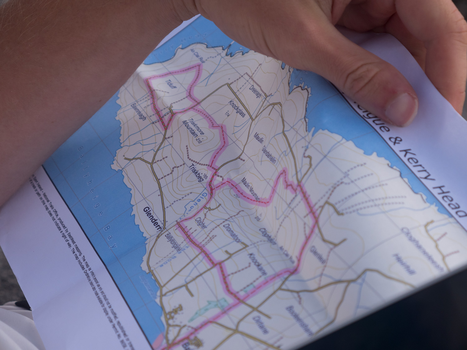
Day 2 saw us walk a slightly strange figure eight around the small peninsula/head. Knowing that we were going to stay in the Tralee campsite again that night, we decided to only bring our rain jackets and the camera with us. And as always, our amazing planning and organisation meant that day 2 fell on a unexpected Sunday, and we had to wait until Midday to get a bus out to Ballyheigue.
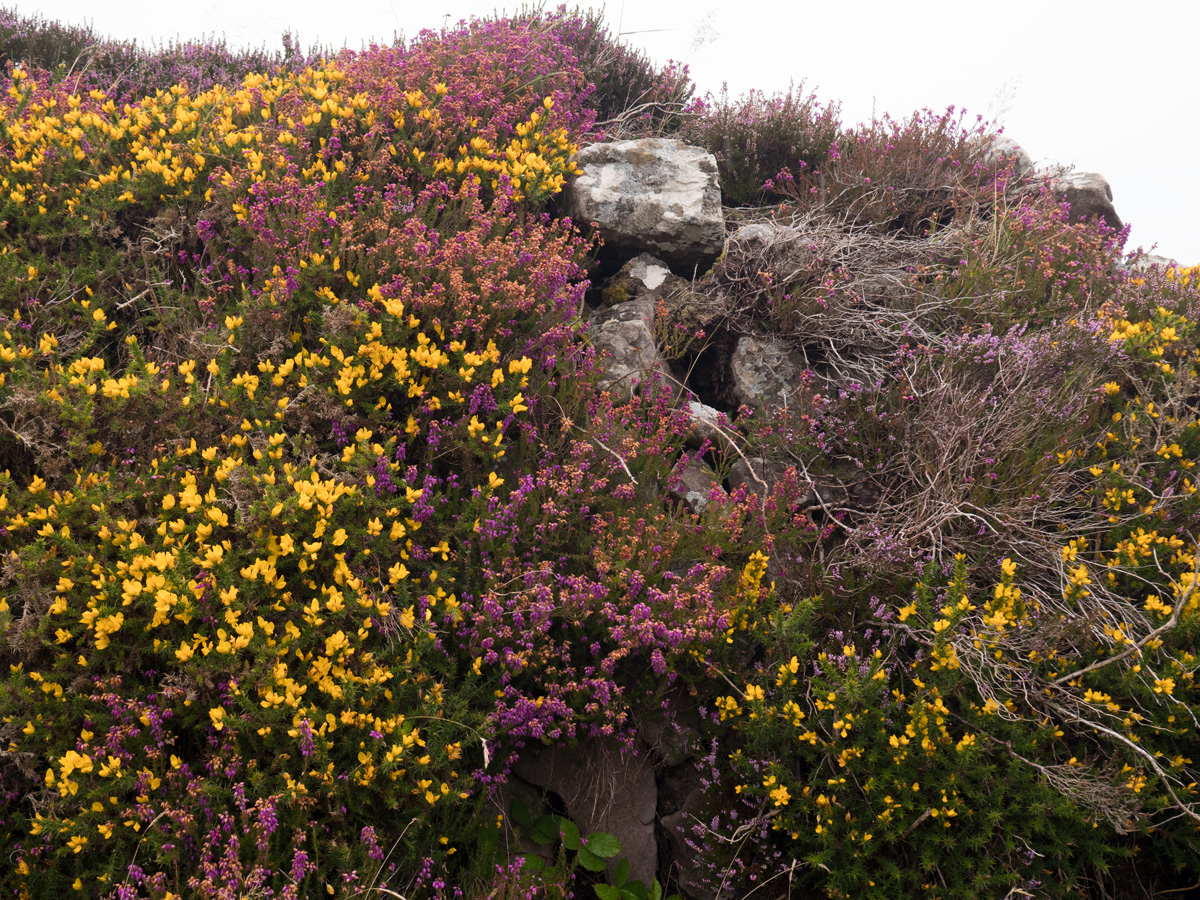
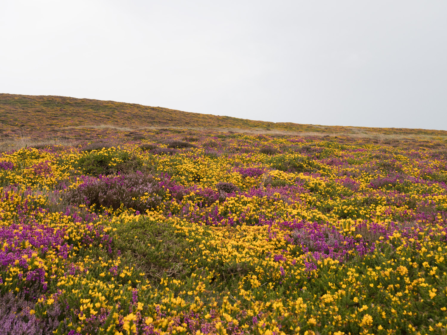
The loop walk was very enjoyable - it crossed mini hills of heather, gorse and fuschia, which were all blooming in great mixes of yellows and pinks and purples. The first half of the day was a misty rain, the kind we had experienced in the Cavan Burren, and we quite enjoyed it. However, as the day wore on and the mist turned into a much wetter, consistent rain our love for it grew damp and mouldy until we had to discard it completely into a hedgerow.
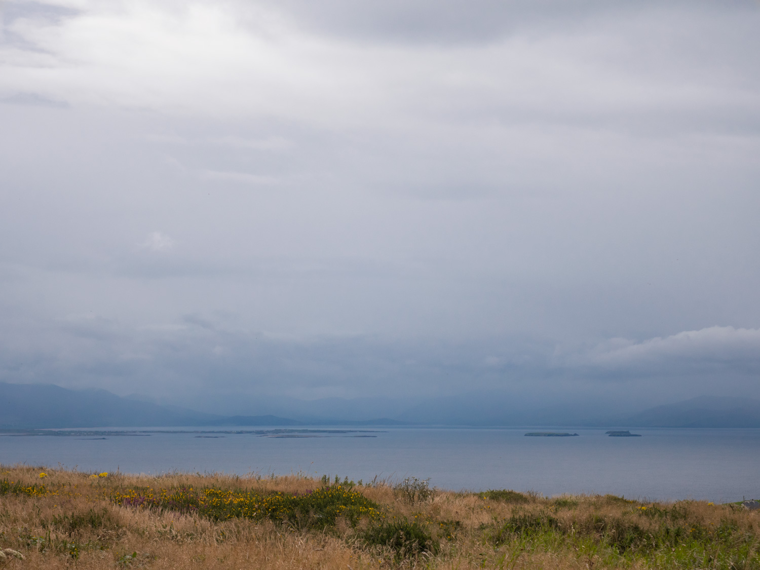
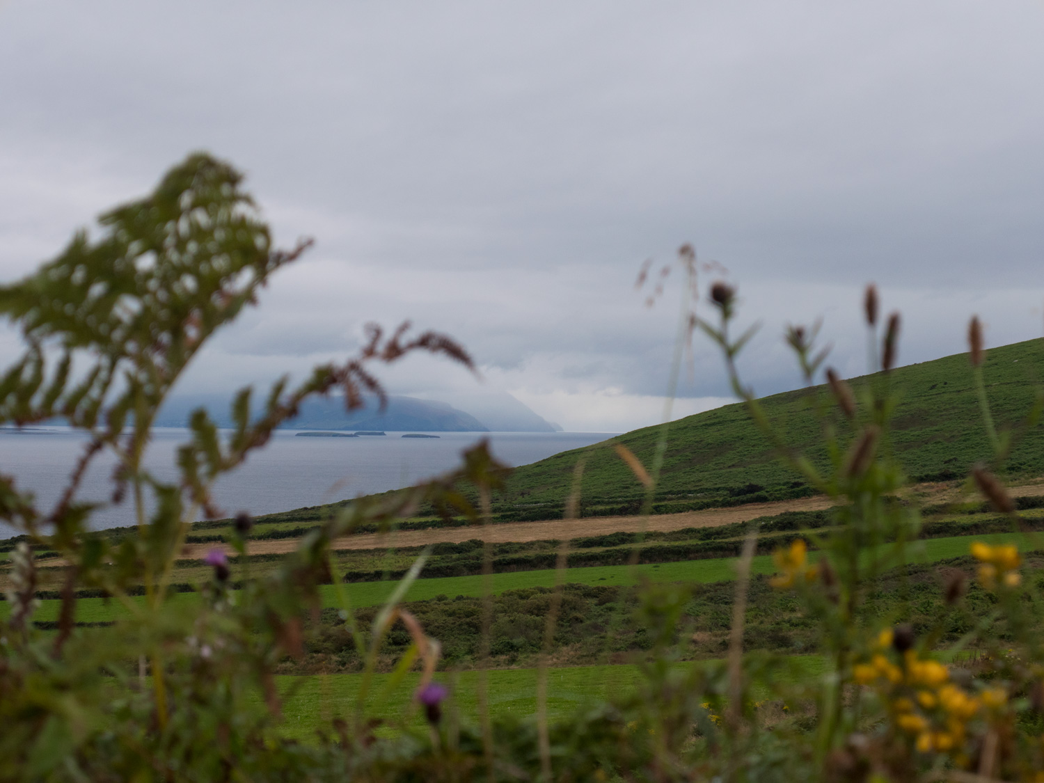
Probably the best part of the North Kerry Way was the views it gave us of the Dingle Penninsula. On a fair-weather day I would expect them to be absolutely amazing and breath-taking. But even on the overcast cloudy days we had, every now and again the skies will clear slightly and dark shapes of the mountains would grow, with flowing mist hanging from the mountainsides. It looks magical. Can you tell that I like Kerry?
Part of the reason that we walked this trail first (apart from it being a really easy one to tick off) was that I had a feeling that all the other trails were going to be of a very high standard, and while this one was really good, it's kind of impossible to compete with the majestic-ness of those mountains.
Once we made it back to Ballyheigue, leaving a trail of walker-shaped puddles behind us, we got picked up by Brian from the Kerry Camino and he gave us a lift back into Tralee. Huge thanks to Brian! We then spent a day organising before starting the Dingle Way and the Kerry Camino, where we met up with Brian again and looked over maps and drank decent coffee.
On our organising day, we also took some time to make a few small repairs to the tent - the first repairs it's needed! Such a super little tent. Here's a small video of me sticking things back together.
We’ve made our own Tough Soles maps! These maps are free to use, remix, and redistribute under CC-BY 4.0. All you need to do is attribute us! Here are the North Kerry Way maps, and here are all the maps we’ve made.
If you like our blog you can subscribe to it here!
If you really like it, you can support us on Patreon