The Sligo Way Overview:
Official length: 78km
What we walked: 96.5km
Start/end points: Dromahair - Lough Talt, Linear trail.
Trail difficulty: 2/5 *condition dependent
Trail Quality: 3/5
Views/area: 4/5
Camping/Accommodation: Camping viable, plenty of accommodation for the first half, the second half (ending at Lough Talt) is devoid of any villages and accommodation.
Public transport: To the start of the trail, Dromahair, there is a bus. At the end, Lough Talt, there is nothing.
This is trail 10/42 in our project to walk every single National Waymarked Trail of Ireland. This was us from day 47 - 51.
We started the Sligo Way the same day that we finished the Cavan Way. We were having a drink in Dromahair as celebration, when we heard a kid shout down the street, "Hey! *Name*! You're fighting NOW!" Sitting at a quiet pub bench minding our own business, it was hard not to overhear and wonder what in heavens name he was talking about. It took us a few minutes to realise that a local boxing club was holding a competition. I could write a whole post about these kids and the bravado they strutted around with. One had a fur-trimmed coat I could only imagine someone like Jay-z or Conor McGregor wearing. But sadly they are not the topic of today's post.
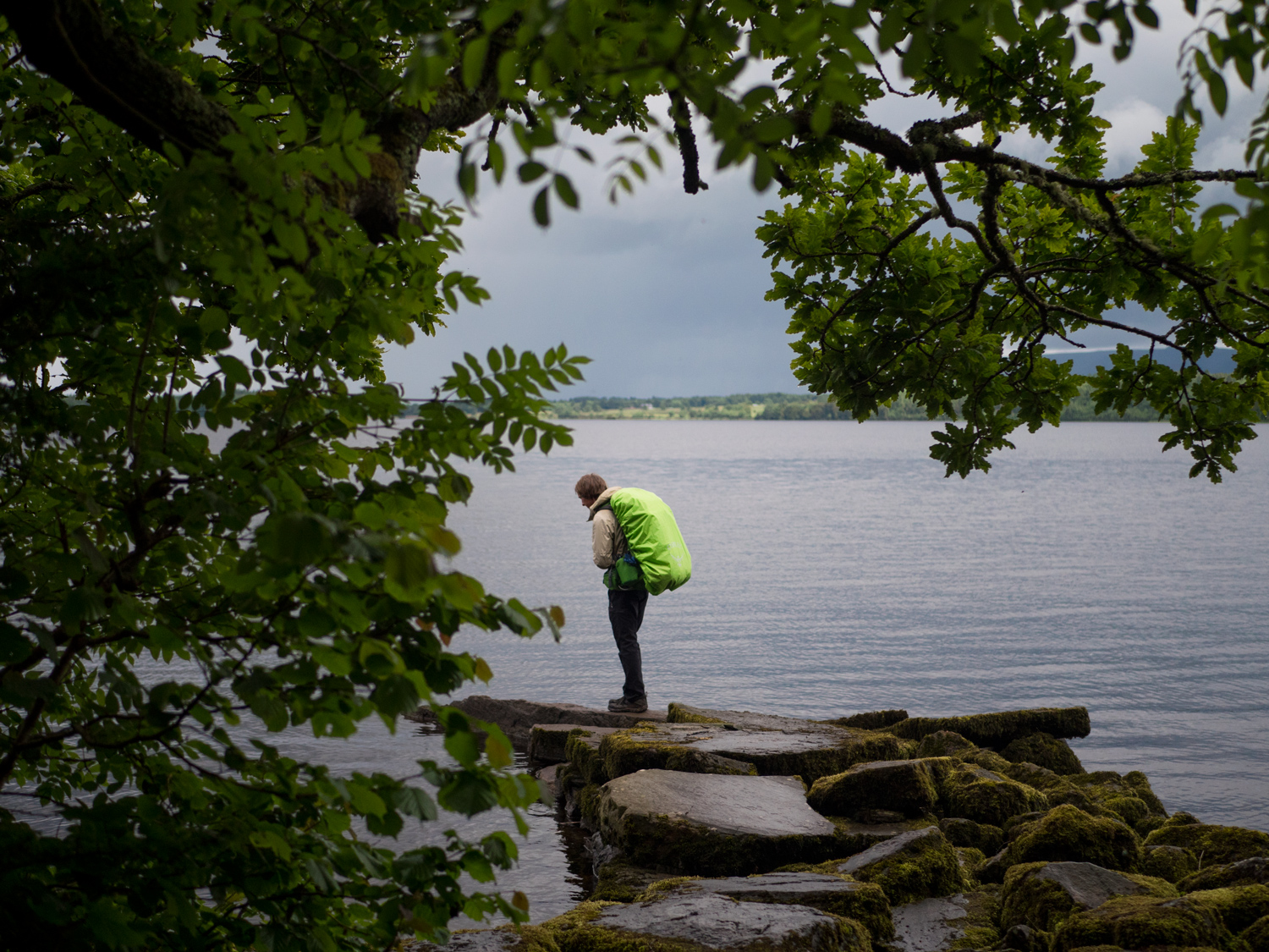
I remember the trail in pretty much two halves: Dromahair - Coolaney - Lough Talt. From Dromahair we walked immediately into forestry, then along some small roads and back onto trails again. It being late, we didn't get far, stopping to camp outside a very old, tumbling down cottage. We quickly learnt that the ruins had become a humungous midge metropolis, and we were covered in them in a matter of seconds. It's these kinds of situations where we decide cooking isn't really worth it, and eat whatever dry food we have.
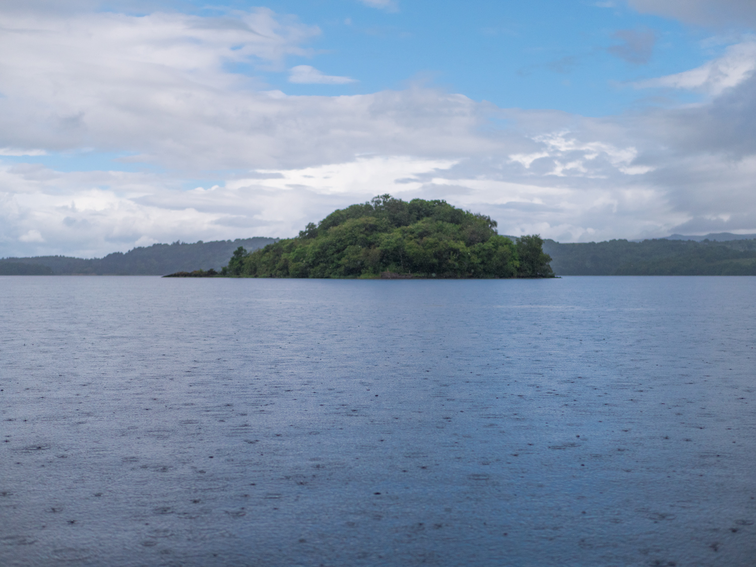
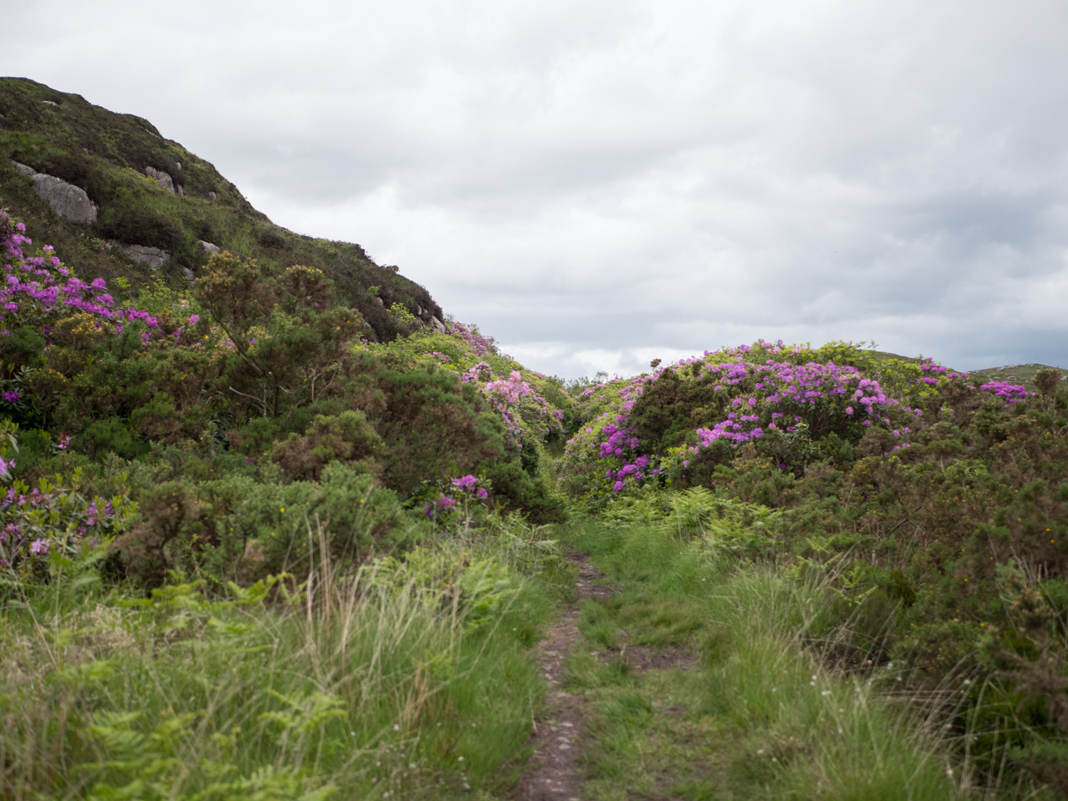
The following day we walked from there to Coolaney. The day consisted of a constant low level drizzle as we wandered along the banks of Lough Gill. That first section was truly gorgeous, even in the light rain. Sadly there had been a wild fire in the area that consumed much of the board-walk through the lake-side forests of Slish Woods (however, even though we were there only a short time after the fires the boardwalk was already being rebuilt!). We walked through foothills of Slieve Daeane and beside Lough Lumman before descending down to Union Woods and Colloney. The walk from Slish Woods down to Union Woods would make a wonderful day-hike if you're ever in the area.


The next day we were starting the major empty section: over 40+km with no towns. This wouldn't have been too bad, but the end wasn't a town either, so we didn't know when to expect a shop again.
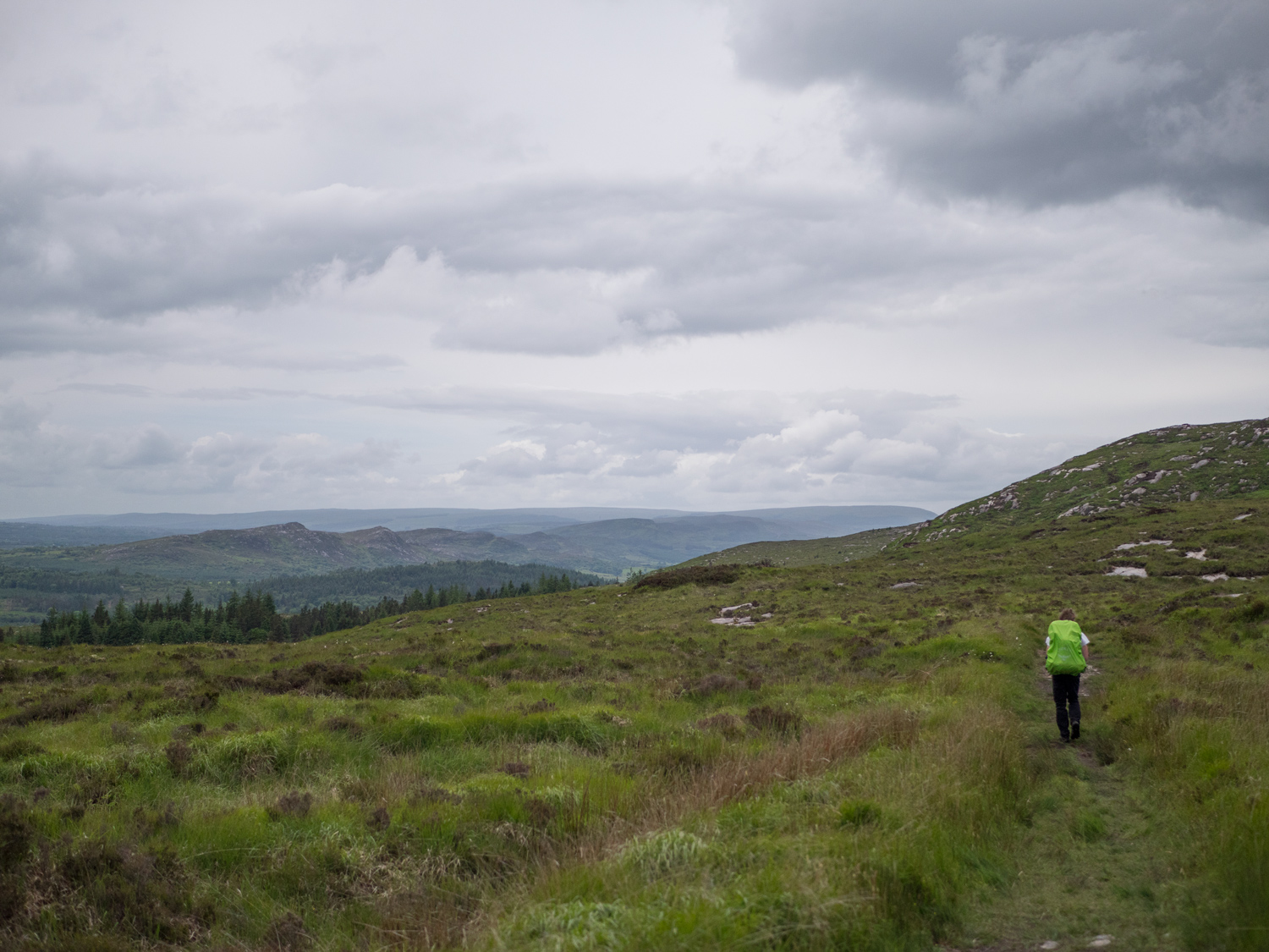
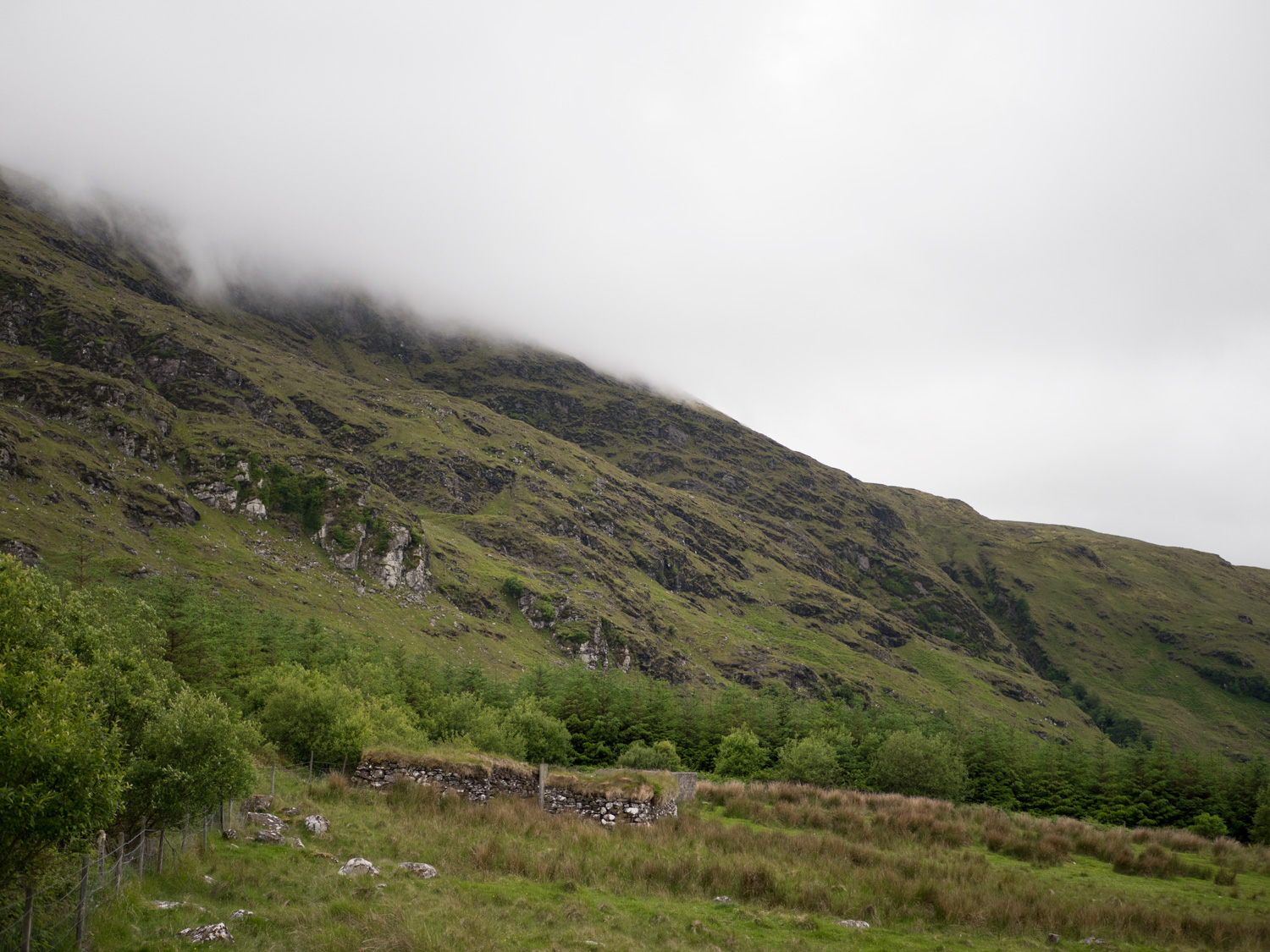
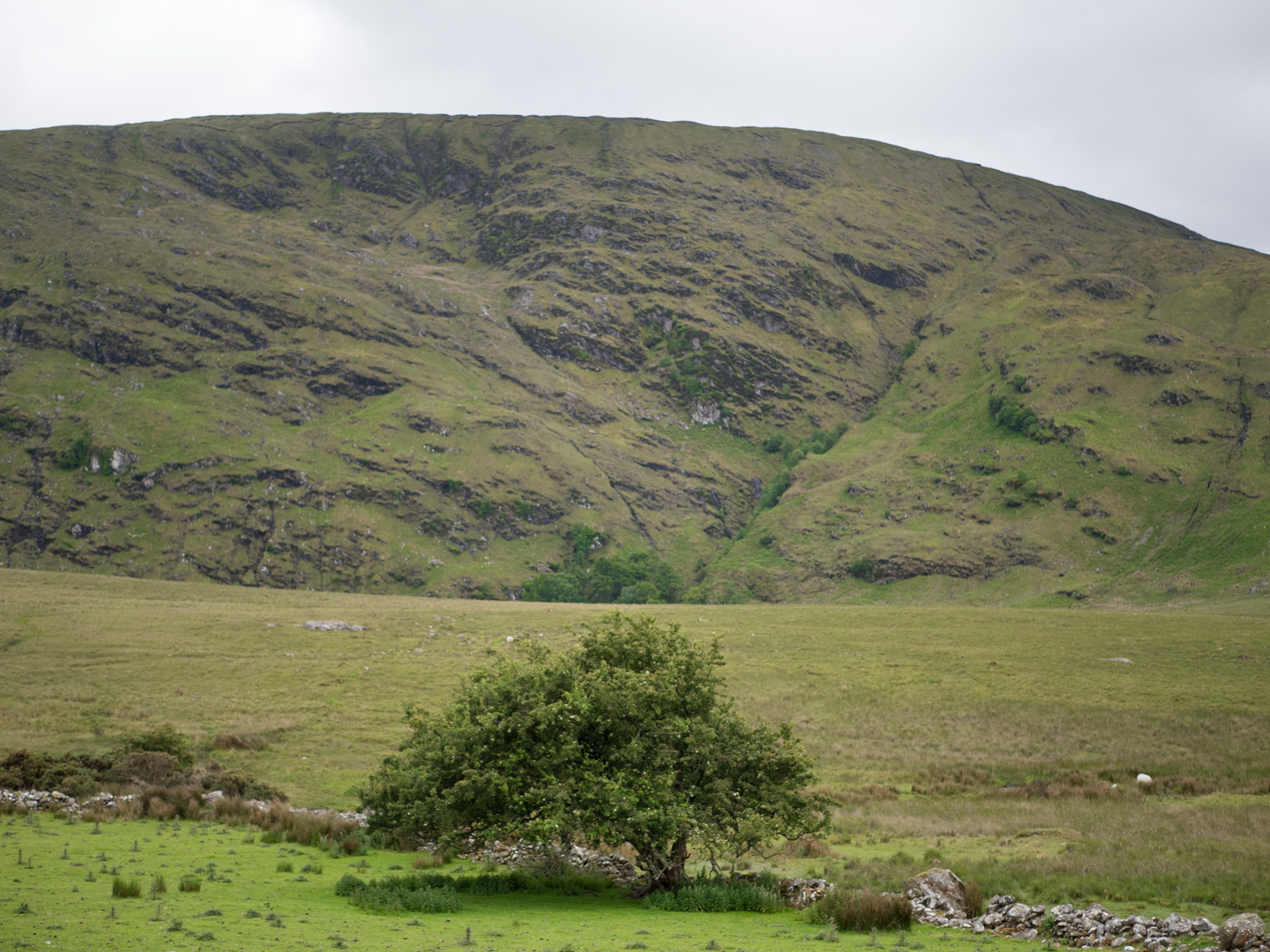
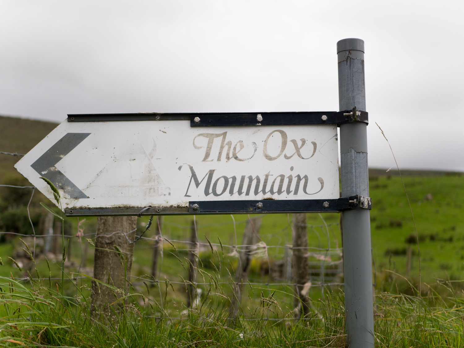
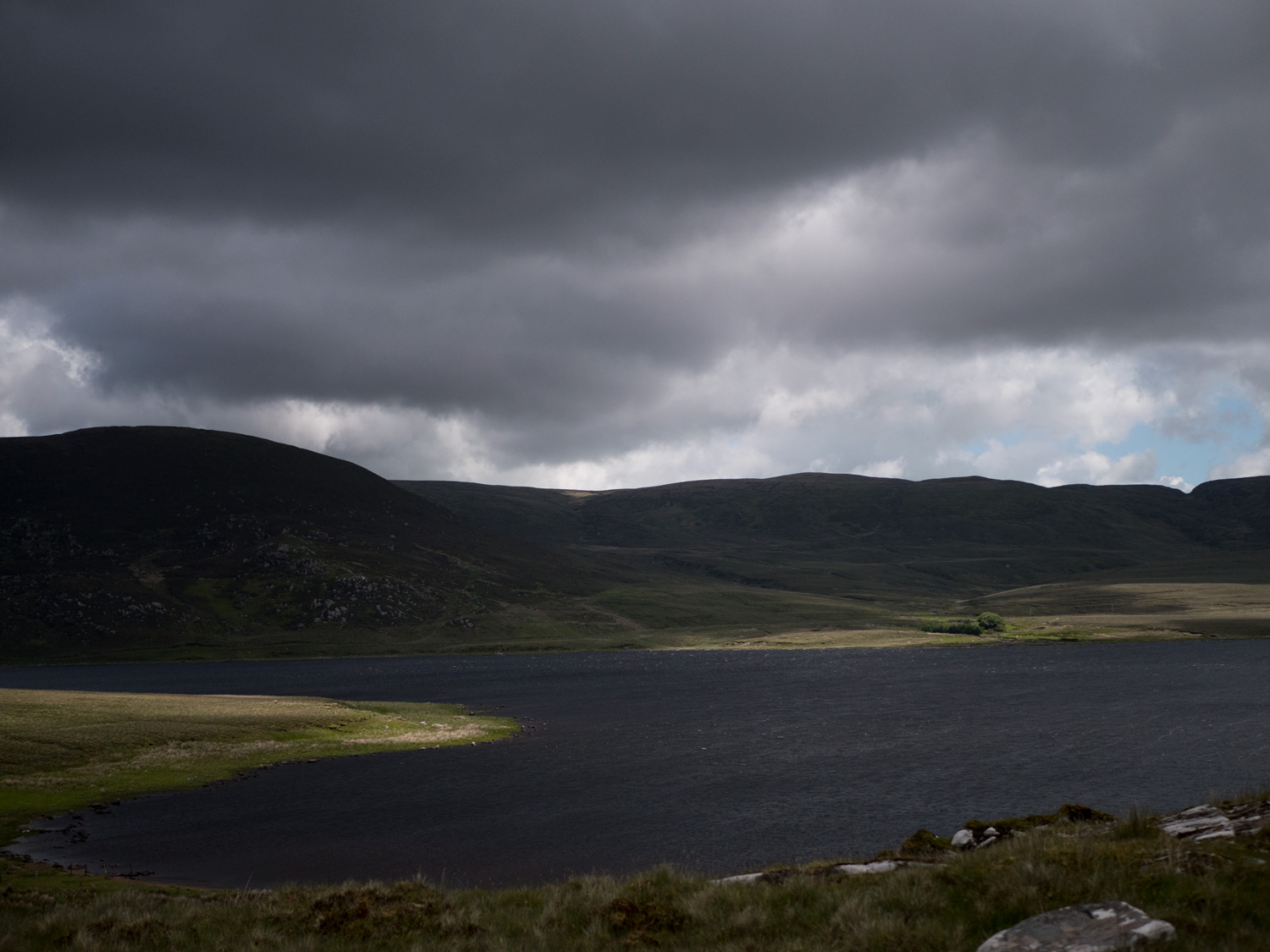
The rain continued, and the wild landscape of Sligo became desolate, windy, and empty. It was beautiful, but not the kind of beauty you want to have to spend two days in, and there was a lot of road. Long, straight roads that slowly climbed over small hills within the Ox Mountains, forever going slightly upwards. We were cold most of the two days it took us to get through there. With such a high percentage on road, I would almost recommend this section becoming a cycle or a drive, taking stops at the different lakes and especially scenic viewpoints.
I remember when we reached Lough Easkey and were nearly blown away as we cooked some pasta at a stone table. After mustering some new courage, we continued on. The trail led off the road and we thought our prayers had been answered. Three steps in and we were ankle deep in bog.
It took us an hour to walk the 1km around the lake. When we reached the track at the other end we each lay down on a rock and fell asleep for 45 minutes. At one point I woke up in a daze because the wind was blowing up the side of my jacket and had chilled my ribs. I crawled off the side of the rock and sat with my back to it, slightly more sheltered, and fell back to sleep.
Cresting Ladies Brae was pretty incredible. It was the first view we had had of the sea in a very long time. The crest looked out at Aughris Head, and across the bay we could see Donegal and the mountains that wait us there.
The end of the trail left us at Lough Talt - almost. In most places the end location of the trail is listed as Lough Talt, but where the trail in fact ends is a car park on the side of a fairly major regional road. We could see the lake as we descended to the mountainside, but the trail kept going. We did too, assuming we would finish on it's shore further along. Sadly that didn't happen, and we were so exhausted when we got to the end board that we just sat there in the sunny wind for a while.
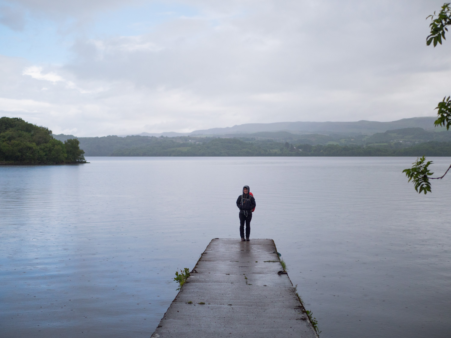
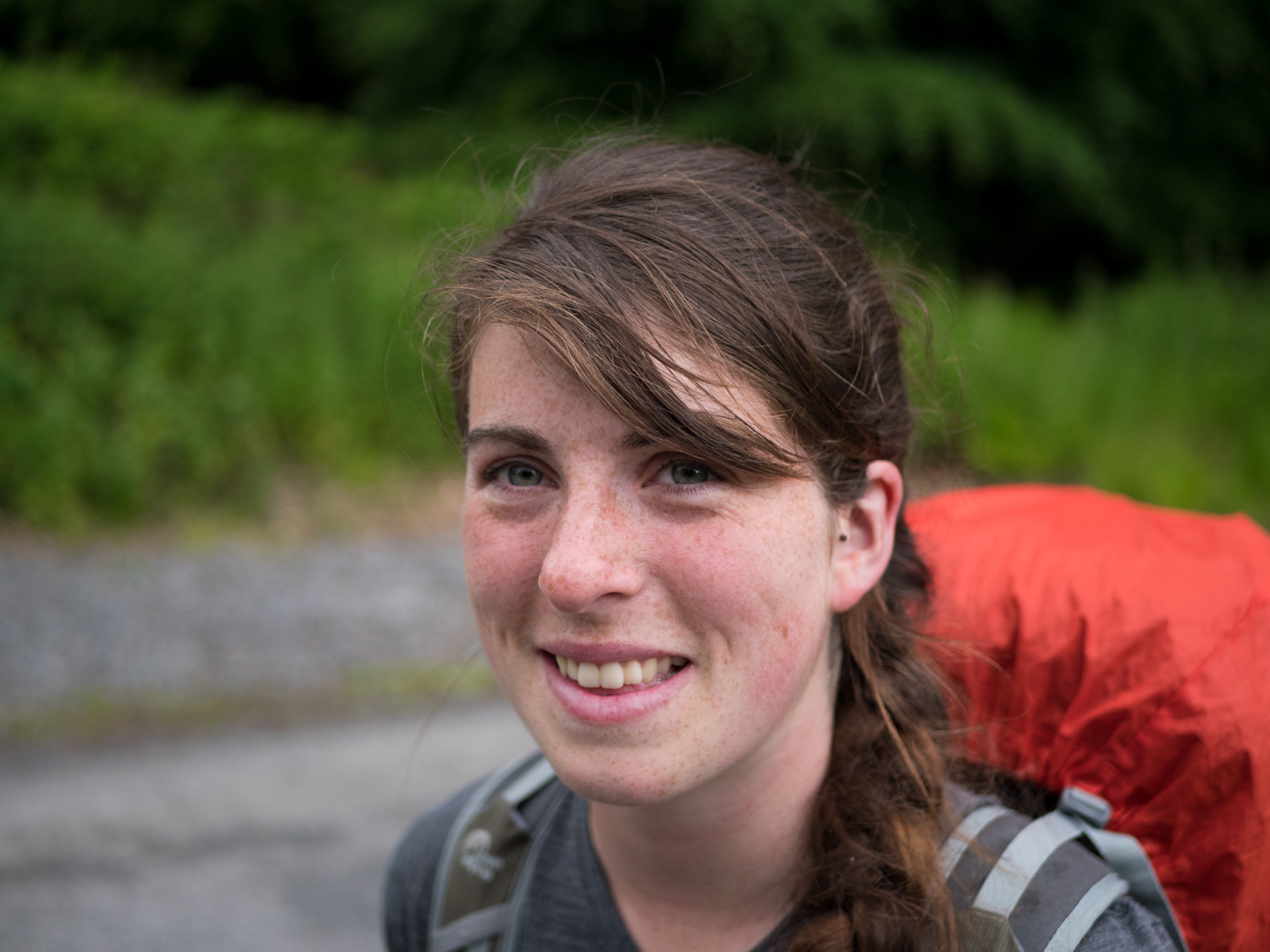
Eventually we called a taxi and got a lift into Ballina. This post may feel disjointed, but so do my memories of the walk. The more time that goes by, the more I remember it in a positive note (as every good pair of rose-tinted glasses should work). We were both completely drained on this walk, and the lack of energy definitely affects how well I remember things. It's also easy to get demotivated as you know there isn't a warm fire waiting at the end of all this, but another trail, another day of rain, and the same pair of wet boots to pull on.
Lets just say it was wild and desolate - and the first half was wonderful. But try to go there when its dry. And maybe bring a car for some of it.
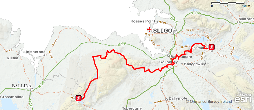
Here's another map of the same place - because coming across two is a rarity, so I decided to spoil you (and me).
Also, we have made our own Tough Soles maps! These maps are free to use, remix, and redistribute under CC-BY 4.0. All you need to do is attribute us! Here are the Sligo Way maps, and here are all the maps we’ve made.
If you like our blog you can subscribe to it here!
If you really like it, you can support us on Patreon