The Hymany Way Overview:
Official length: 90km linear trail
What we walked: 121.2km
Start/end points: Ballygar - Portumna
Trail difficulty: 2/5
Trail Quality: 2.8/5
Views/area: 3/5
Camping/Accommodation: plenty of camping opportunities (Meelick Harbour was especially nice) but didn't notice that much in the way of accommodation. Ballinasloe is a large town that is close by, and more likely than not has somewhere to stay! We did stay in Podumna in portumna once we finished the trail which was super nice!
Public transport: Buses from either end of the trail - both towns fairly large.
This is trail 12/42 in our project to walk every single National Waymarked Trail of Ireland. This was us from day 60 - 65.
The Hymany way is a reasonably short trail from Ballygar to Portumna, in East Galway. In general the Hymany Way is a decent trail, marred by a little overgrowth.
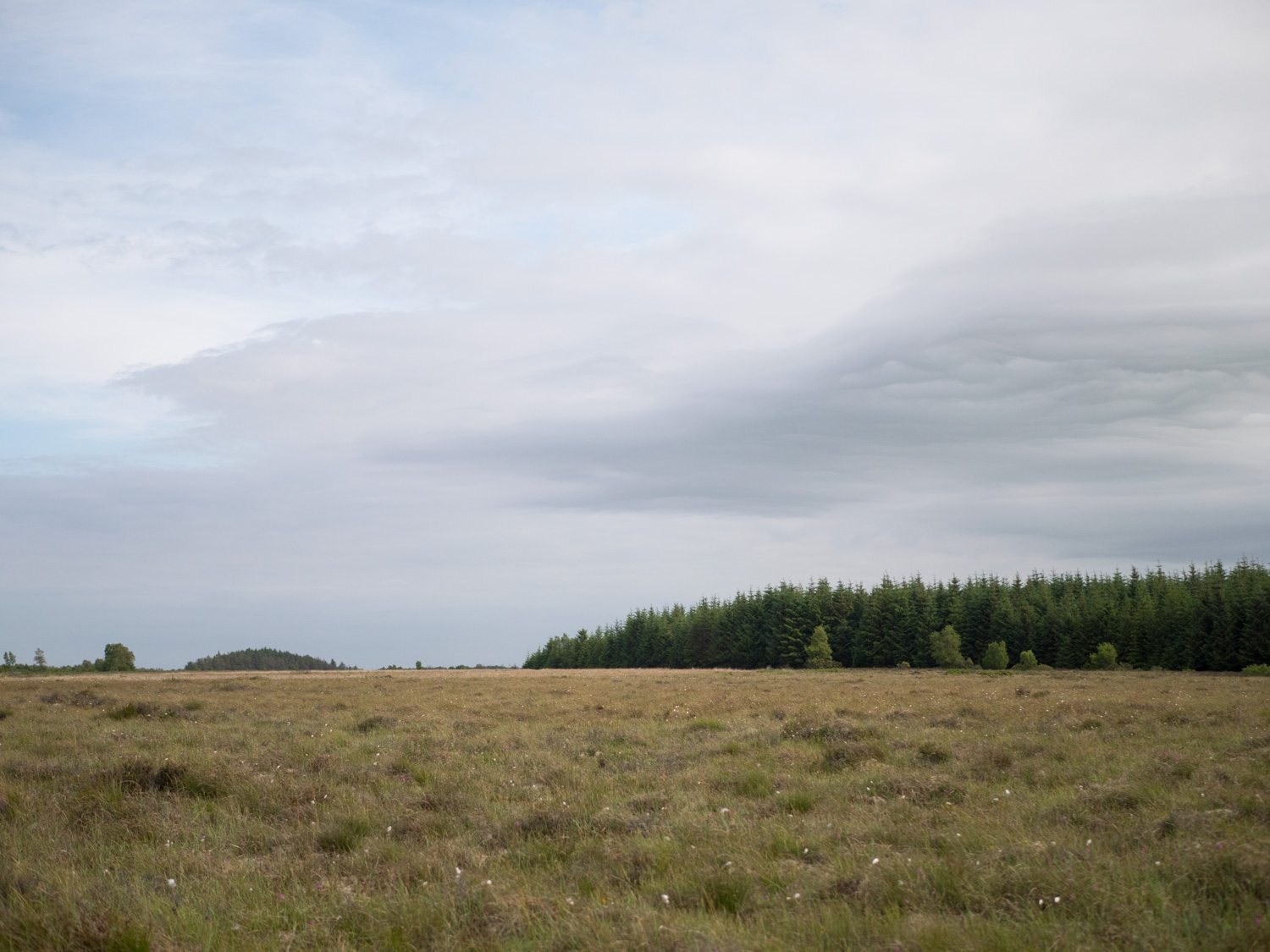
Some highlights of the way include the Shannon Callows, the interpretive centre for the Battle of Aughrim in 1691, and the lovely town of Portumna on Lough Derg. The walk has a reasonable amount of off-road sections - in particular, the last segment from Meelick Harbour to Portumna is entirely off-road, on a raised embankment along the Shannon (however, this section is not open all year). I would not recommend this walk to anybody with hayfever, as much of the trail goes through untamed fields or river banks.
We got into Ballygar a little late in the evening, having taken a bus from Roscommon town. We only ended up walking about eight or ten kilometres to a nice quiet forest, where we put down for the night. The beginning of the trail didn't give us the best first impressions, all road except one or two muddy or boggy offshoots, but our campsite was among the nicest we've had so far. Ellie shot a campsite cooking video here, but it turned out that our microphone hadn't been properly attached and it didn't capture any of the audio. A precursor of things to come - we later found that this issue plagued most of our footage from around this time. It made editing the videos pretty... creative.
The walk from Ballygar to Ahascragh (which you pronounce a-HA-scra) was a little unmemorable - some field, bog, and forest walking, but generally quiet road walking. In fact, that's more or less my memory of the whole trail. That, and intense heat, since it was around the time of the Leaving Cert exams.
Ahascragh was a three-pub one-shop village. As we walked past a closed-looking pub, a lady on a ladder said that it was open and to come on in, and then furnished us with some on-the-house coffee and some of her mother's delicious apple tart. It turned out that she was preparing for a trek up Carrauntoohil that weekend, so we swapped some stories about walking in Ireland. It was a lovely experience and a welcome break from the angry glare of the sun. I still think that the pub wasn't really open, and that she was just generous!
We walked on from Ahascragh, primarily along road and field. Happily, not too many cow fields, and we got to see a few foxes walking the trail ahead of us.
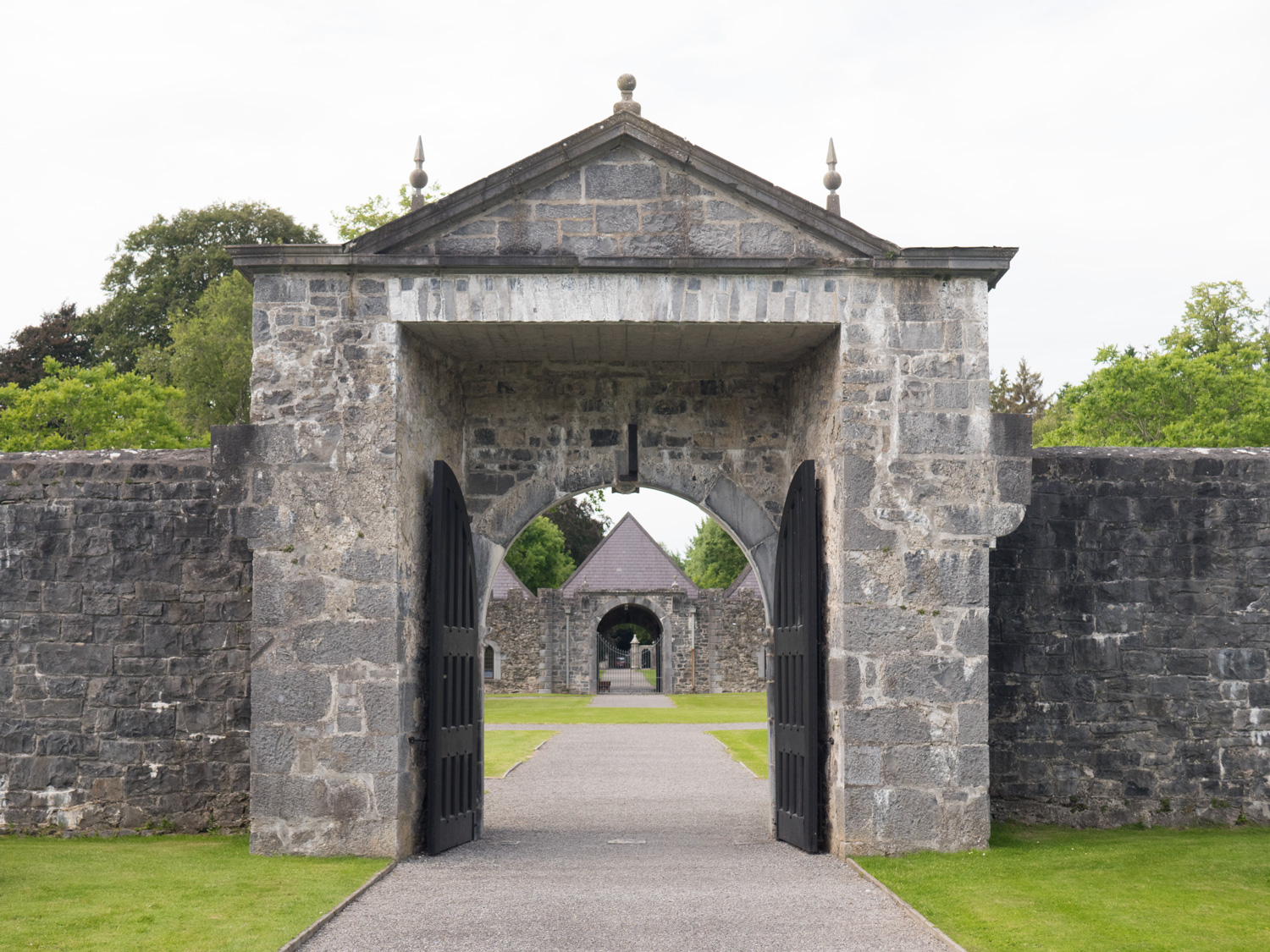
Arriving into Aughrim, we grabbed a bite to eat in a pub there. It was father's day, and the pub quickly filled up, so we ate fast and escaped. We walked on through the town to the Battle of Aughrim Interpretive Centre. Frankly, I had no idea that the British crown wars in the late 1600s had even touched Ireland. It turns out that Aughrim was host to one of the most pivotal battles of the war, the battle culminating with an untimely decapitation of a general. The host at the Interpretive Centre was enthusiastic and informative - I would recommend stopping by if you're in the area. The coffee was a nice bonus too!
On our exit from Aughrim, we experienced one of the only uncharitable people we've come across so far. A shopkeeper wouldn't refill one of our water bottles with tap water, instead overcharging us for some plastic bottles. Oh well - it's the only time this has happened to us, even four months in.
We walked on. There's a section of disused canal on this section of the trail, so we were hopoing to camp next to it. We ended up taking a wrong turn, camping instead on a bit of access road that looked like it hadn't been used in decades.


The next morning, we backtracked and fixed our wrong turn (only about two hundred metres back, thankfully) and continued on our way. I was quite glad that we had taken that wrong turn - the land was extremely marshy next to the canal, so it would have been quite unsuitable to camp on. The canal itself seems to have been used as a dumping ground in the last few years, and I think we walked past more than a dozen mattresses wallowing in the greenish-brown of the water.
It's always mattresses or washing machines that we see out in the countryside, never other largish household items like chairs or bookshelves. There's always the good old black bag full of nappies, too. I despair a little at the culture of bringing stuff out to the bog to get rid of it. I despair even more at the idea that dumping rubbish out in the countryside carries the same fine as dumping household rubbish in a public bin - surely rubbish next to a bin is less bad than rubbish in a forest where it'll never be found or removed, poisoning rivers and land.
We continued our walk to Clonfert through extremely overgrown fields and over very lightly maintained trail. Ellie has hayfever, which made conversation more than a little difficult.
We came across a completely overgrown stile, with nettles and brambles covering every part of it. As we were battling our way over it, a local farmer came out of his nearby house to chat with us, complaining that nobody maintained the trail at all, how it was a disgrace, and so on. I kept my thoughts about how he could simply cut down the nettles once a month to myself.
We entered a vast bog, and soon after, a forest. In the distance was Shannonbridge, an enormous peat-burning power station. We had fun jumping over the large creeks between lines of trees in the forest until we remembered that we were carrying a drone...
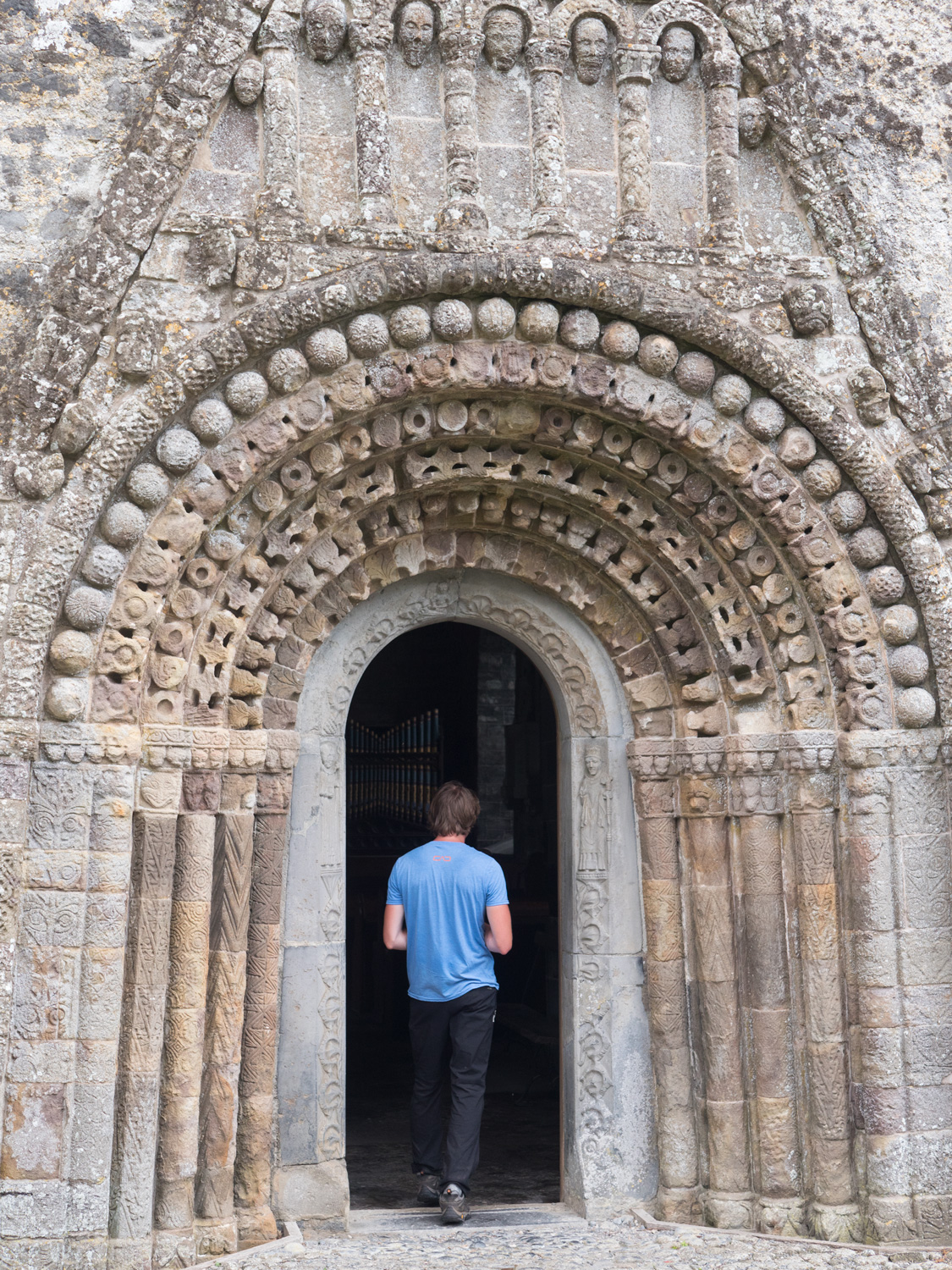
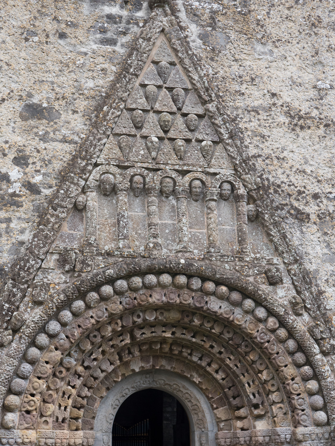
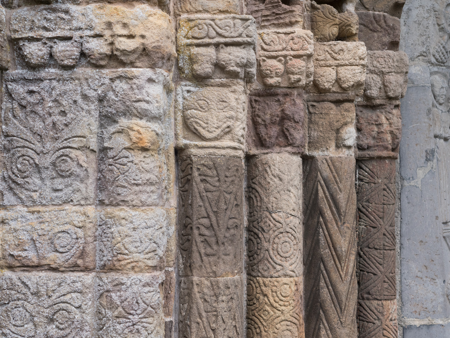
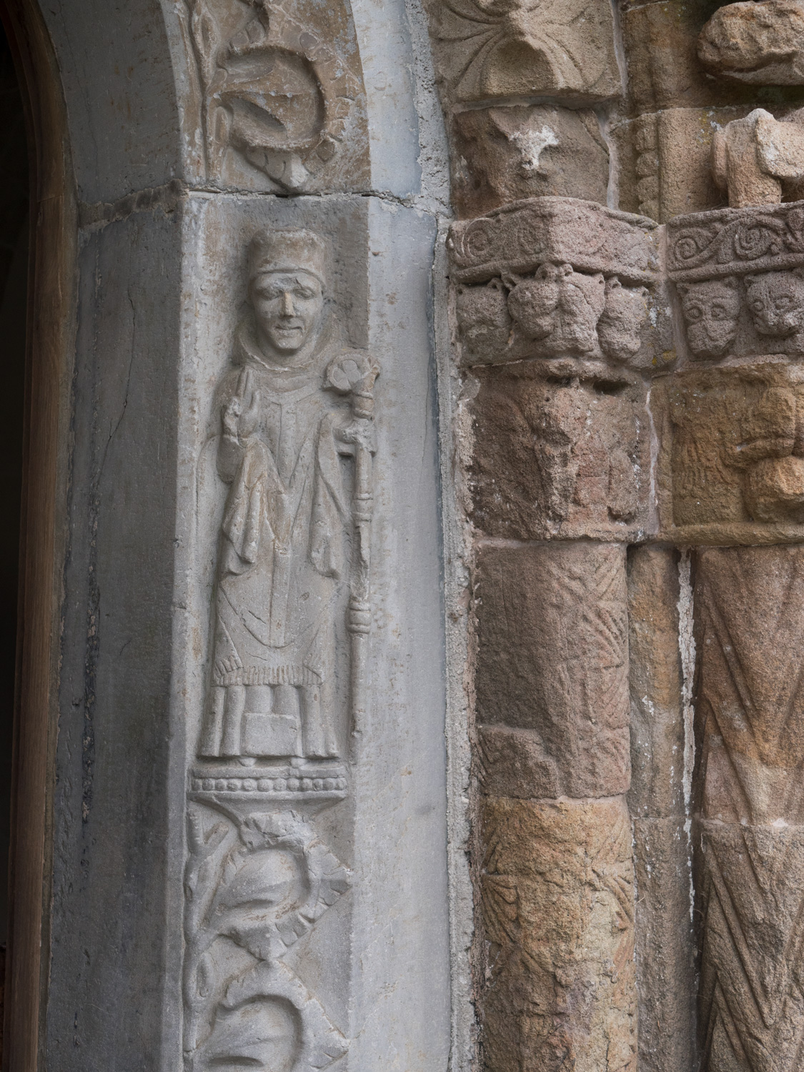
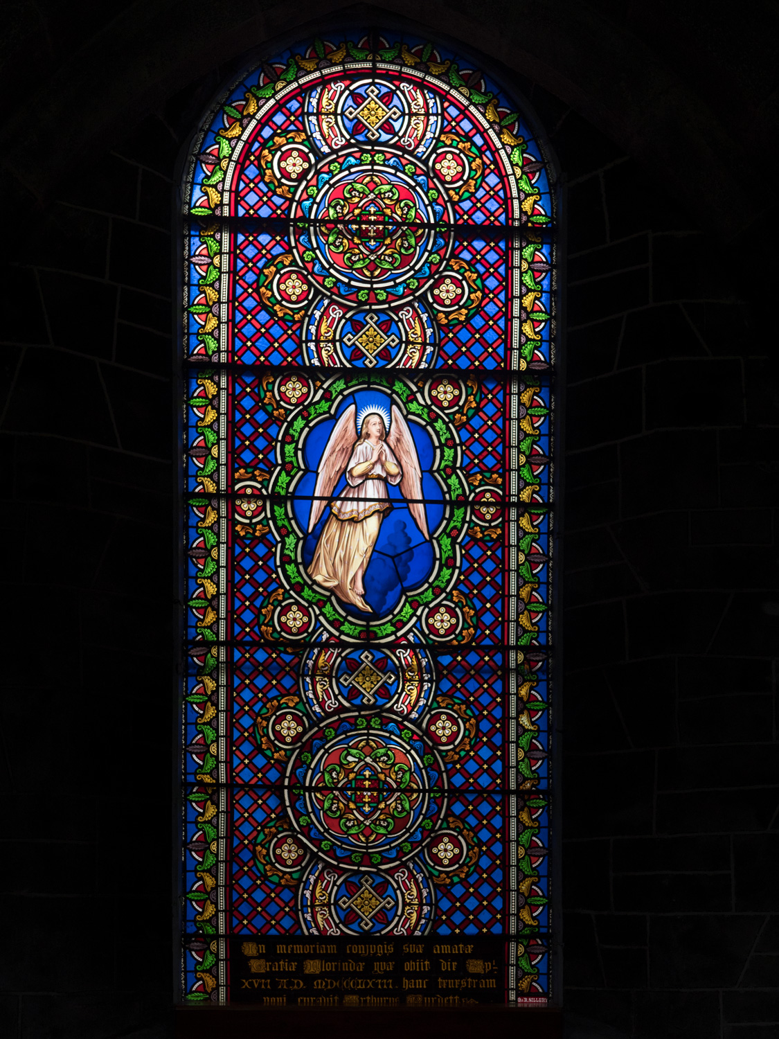
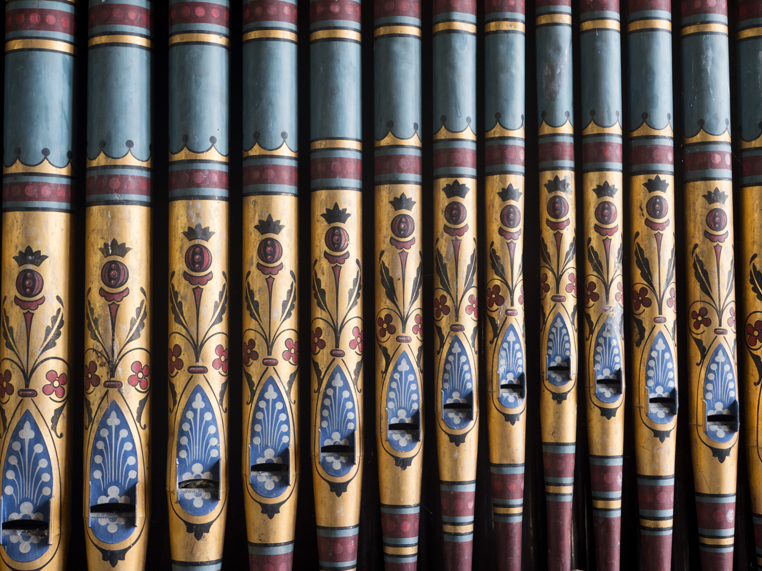
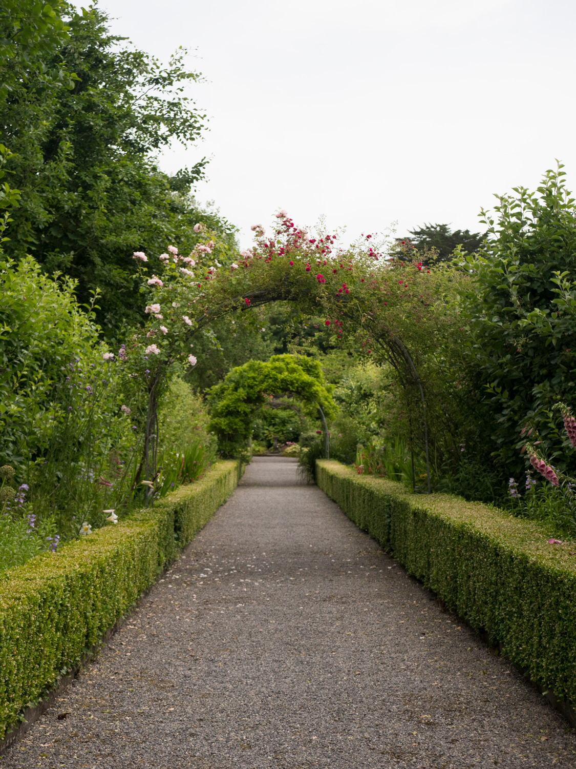
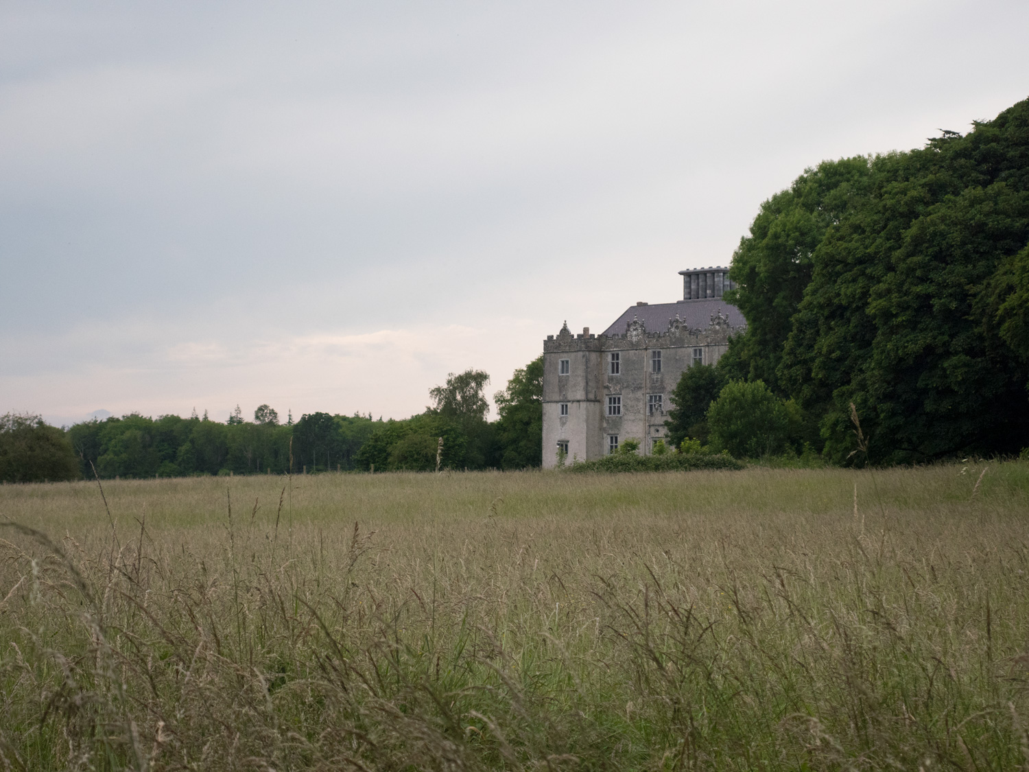
The sun was truly frying us that day. Walking in direct sunlight for hours is at least as hard as walking in the rain, and we finally, finally, finally found some real shade at Clonfert Catherdral, founded by St Brendan in the 6th century and rebuilt over the following 8 centuries. An understated gem, the catherdral is a patchwork of lovely architecture from the 1100s to 1500s, and its doorway is an excellent example of Romanesque decoration in Ireland, heads looking down upon you as you enter the cathedral. The stained-glass windows here are also breathtaking. St Brendan himself is apparently buried here.

We camped at a harbour a few kilometres north of Portumna, called Meelick Harbour. One family had berthed their boat there and we asked them if they'd mind if we camped at the harbour near them - to this day it's among my favourite campsites.
The next morning we had our final walk to Portumna. From Meelick Harbour to Portumna was only around 12km, and all along the Shannon, on the Shannon callows, which is a unique nature refuge for many birds. Nearly the entire walk is on top of what's known as the ESB embankment, a raised embankment about eight feet tall. It gives you an excellent vantage point - I hope to one day go out there with some binoculars and say hello to all the birds.
However, the embankment also has almost no shade. Most of the walk was spent zombie-walking to the next tree, 800 metres away, then sitting down for half an hour, convincing myself that if I don't start walking again soon, the heat will get even worse.
We nearly ran out of water during this section of the walk. Thankfully, we met a man servicing an ESB station who kindly gave us some of his water. I think he was single-handedly responsible for our not getting heatstroke!
This section was really great walking, and I look forward to going back some day when the conditions are a little easier.
We somehow made it to Portumna, and virtually inhaled a bottle of Lucozade each. The lady in the shop was really helpful, telling us where we could stay in town (and more importantly, where not to stay!). She recommended a "glamping" place in town, and while we were skeptical, we dropped in to Podumna Village. The owner, Dick, was a lovaly guy who chatted with us for ages about the walks, why we were doing it, what we should do in Portumna, and so on. He was a really great host, and gave us a lift the next day to Ballinasloe, and from there we decided to go to Dublin for a few days to recover from the heat and do the Dublin Mountains Way.


We’ve made our own Tough Soles maps! These maps are free to use, remix, and redistribute under CC-BY 4.0. All you need to do is attribute us! Here are the Hymany Way maps, and here are all the maps we’ve made.
If you like our blog you can subscribe to it here!
If you really like it, you can support us on Patreon