Overview
County: Wicklow, Dublin, Carlow
Official length: 129km
What we walked: about 131km
Start point: Clonegal
End point: Marlay Park, Dublin City
Trail difficulty: 3/5
Trail quality: 4/5
Most common walking surfaces: Coillte forestry roads, boardwalk/bog bridge, trails and some small roads.
Views/area: 4/5
Camping/accommodation: 5/5. There are official places you can wild camp on this trail! It’s amaizng, all Irish trails need this!
If you’re looking to stay indoors along this trail there are multiple tour companies, bag shuttling services and B&Bs.Maps: We’ve made our own Tough Soles maps! These maps are free to use, remix, and redistribute under CC-BY 4.0. All you need to do is attribute us! Here are the Wicklow Way maps, and here are all the maps we’ve made.
We also had the Hiiker app along with us.When we walked it: 24th - 29th July 2019

Our Wicklow Way stages:
Day 1: Clonegal - Tinahely // 25km
Day 2: Tinahely - Muchlagh Hut // 28km
Day 3: Muchlagh Hut - Brushers Gap Hut // 31km
Day 4: Brushers Gap Hut - Knockree Hostel // 27km
Day 5: Knockree Hostel - Marlay Park // 20km
In our research for the trail, and through talking to people we met along the way, most people who are walking the Wicklow Way do the trail over seven days. Here are those stages:
Clonegal - Shillelagh (17km)
Shillelagh - Tinahely (15km)
Tinahely - Aughavanagh (20km)
Aughavanagh - Glendalough (26km)
Glendalough - Roundwood (10km)
Roundwood - Knockree (19km)
Knockree - Marlay Park (21km)

Well, here it is, the final National Waymarked Trail on our list. We walked the Wicklow Way in 2019 over 5 days, from 24th - 29th July. It was our final trail of our “Nation Waymarked Trails” list. Our very first trail was the Royal Canal Way, chosen because it started within walking distance of the Dublin apartment we were giving up to go and start this adventure, and because canals are generally flat and easy to walk. As the project progressed we learnt more about how these National Waymarked Trails came to be, and learnt about the historic importance of the Wicklow Way.
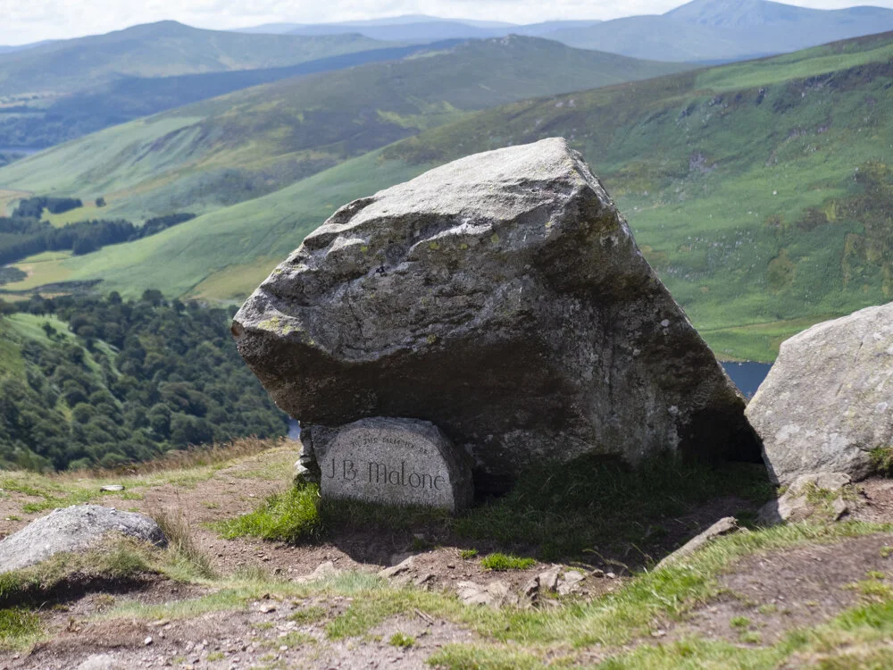
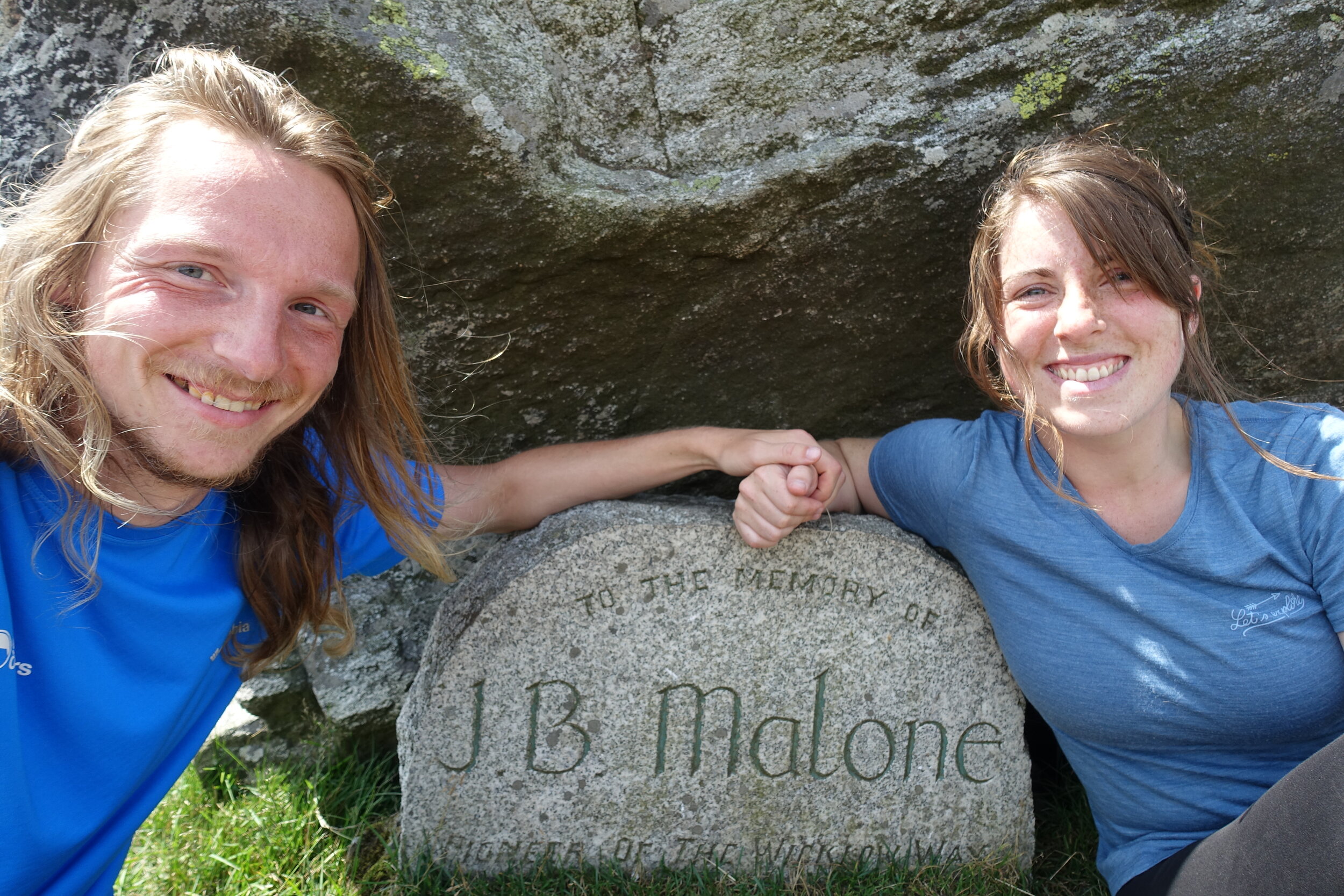
J. B. Malone (Dec 1913 – Oct 1989) is one of the founding fathers of Irish hillwalking as we know it today. Malone wrote countless of articles on hillwalking, as well as books and TV programmes. He is responsible for the concept and establishment of the Wicklow Way as a recognised walking trail, having first proposed it in 1966 - becoming a reality in 1980. It was also Ireland’s first National Waymarked Trail. Being the very first National Waymarked Trail, we decided to save it to be our last of the 42 trails. And seeing as we had walked out of Dublin along our first trail, we wanted to walk back into Dublin to finish it all.
Walking for six months of the past three years meant we had met some amazing people all over the country. One amazing couple that we had met were Gina and Paul, and their two daughters - as a whole, the family behind Our Little Hiker. We’d already stayed with them at the end of the South Leinster Way, and now were on our way back to spend a night with them before starting the Wicklow Way. We spent the night sharing hiking stories - comparing our different experiences of walking the Camino in Spain, and having the most magical dinner. A special thanks to them for the most amazing send off!

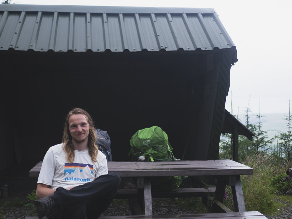
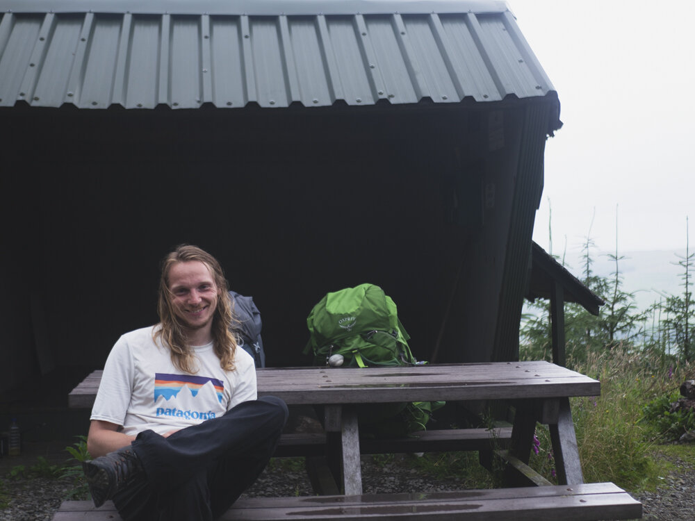
A blurry, badly balanced camera at the start of the trail
Day 1: Clonegal - Tinahely
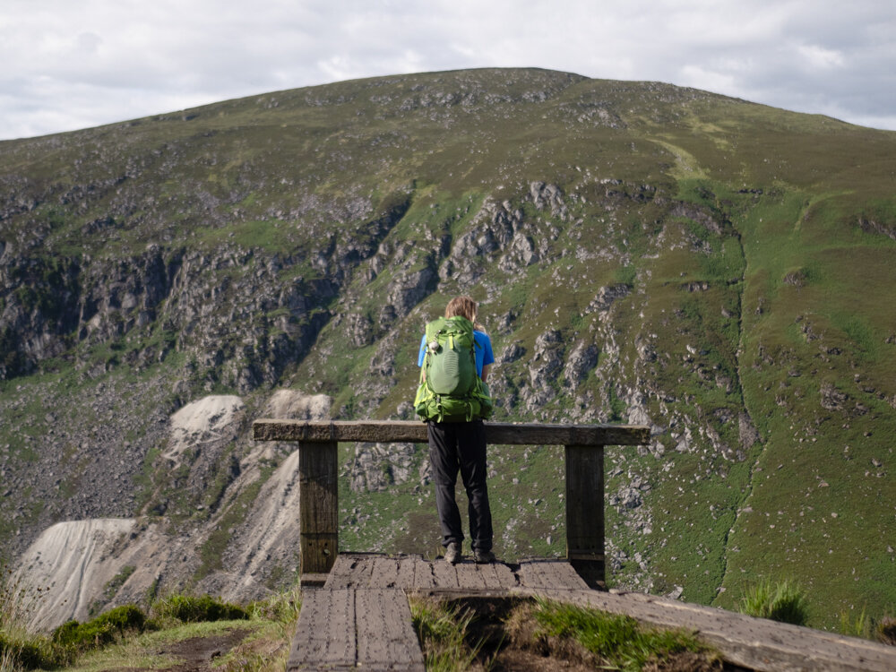
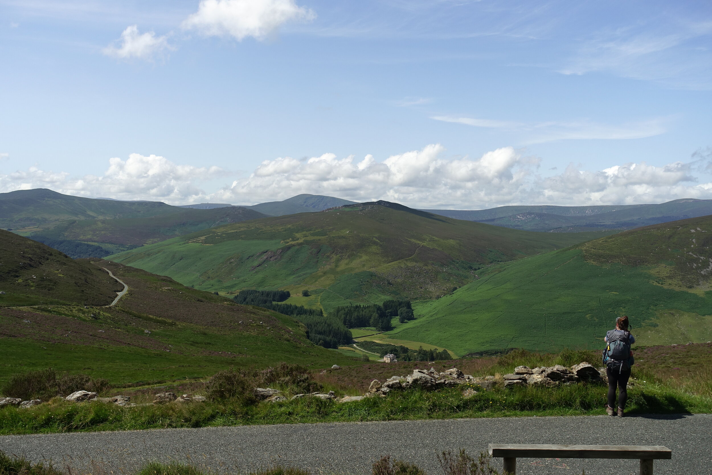
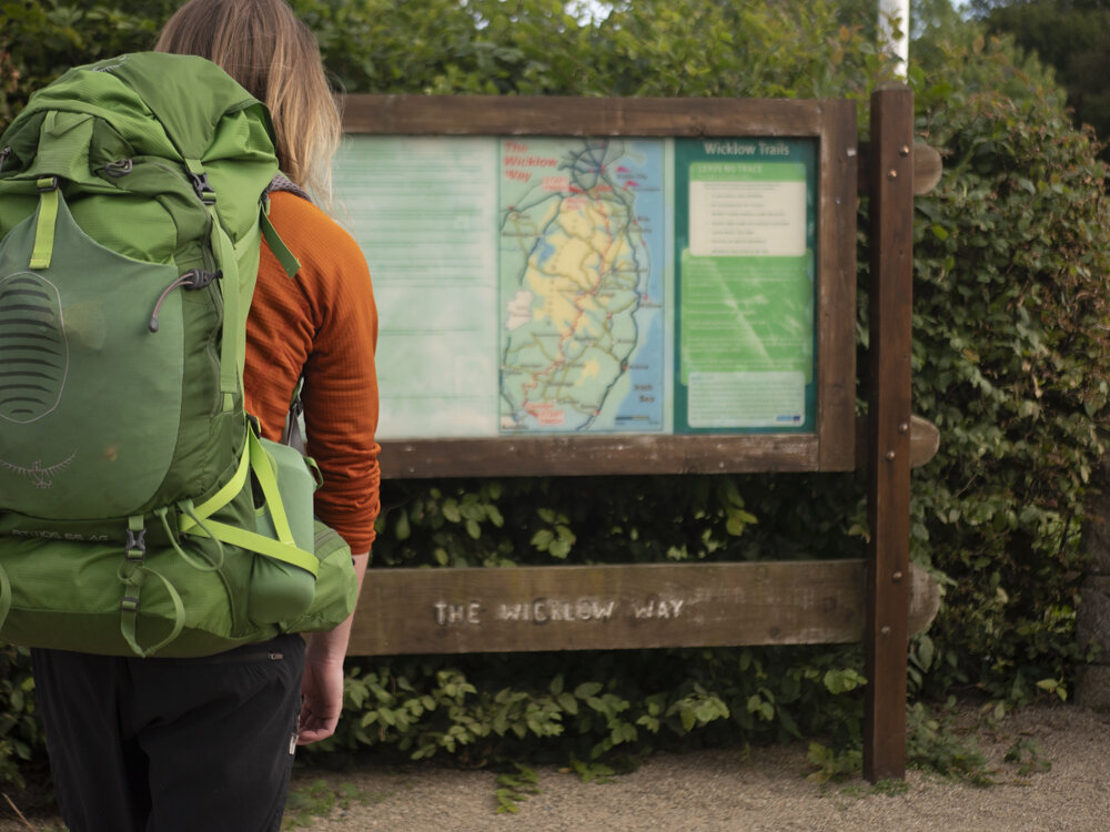
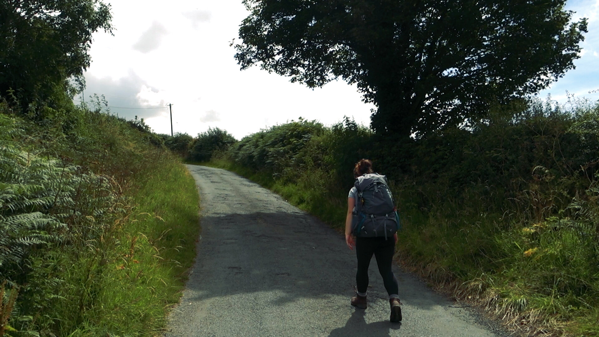
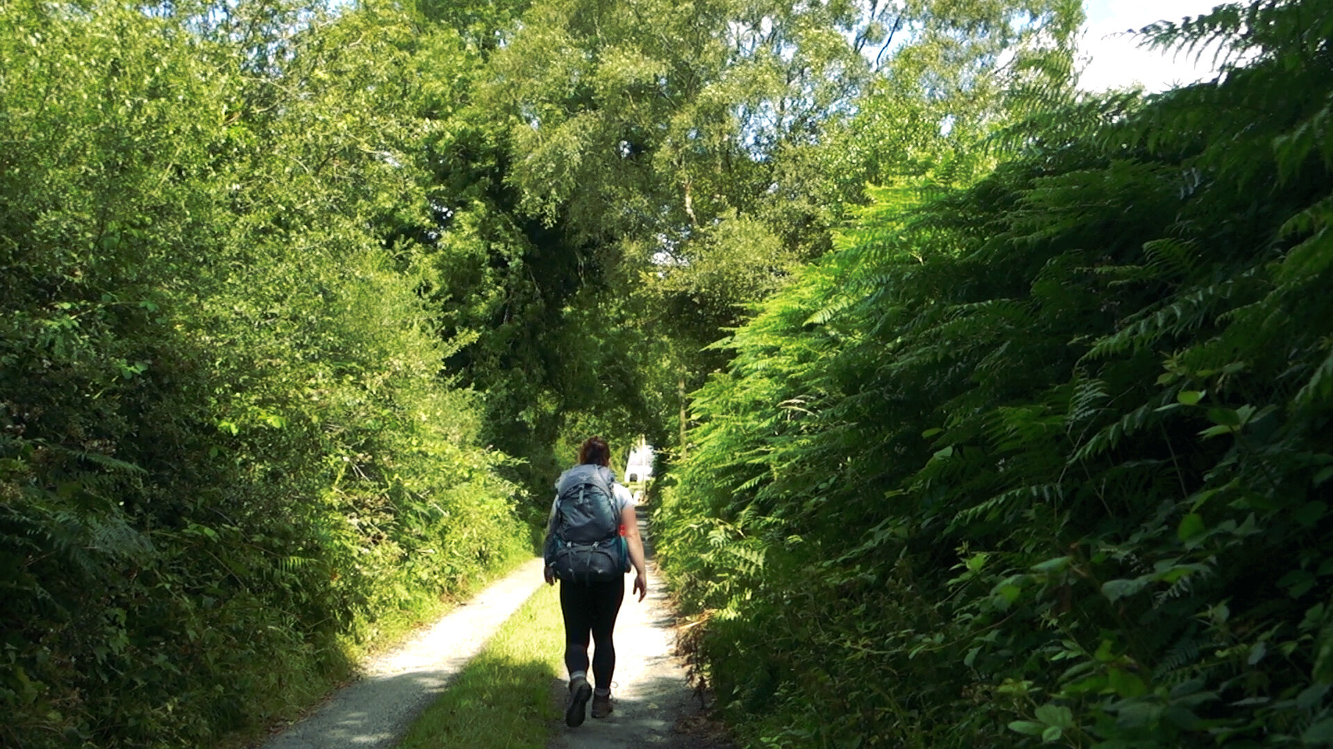
We started in the small village of Clonegal, the very southern point of the trail. Walking along the river, we came to the Wicklow Way info board, our official starting point for the trail. Leaving the village the trail follows small lanes that turn into gravel roads and forestry logging tracks. This southern section has the most road walking, and we were happy to have this walking over and done with at the start - our excitement for the trail and the finish line overshadowing any monotonous walking. Instead we simply ticked off these kilometres as we walked in dappled sunshine. Every now and again we would come to a high enough rise in the road and get a view of the mountains waiting ahead of us.
It was late afternoon when we made it to the Dying Cow, a pub that is always worth stopping into along the trail. Inside there’s only room for a couple of stools, but outside there are benches galore, and we happily sat down for a while. During this break we took out our parting gift from the Our Little Hiker gang - a cake with our name on it! It was a decadent rocky-road style cake, the perfect hiking sugar rush.

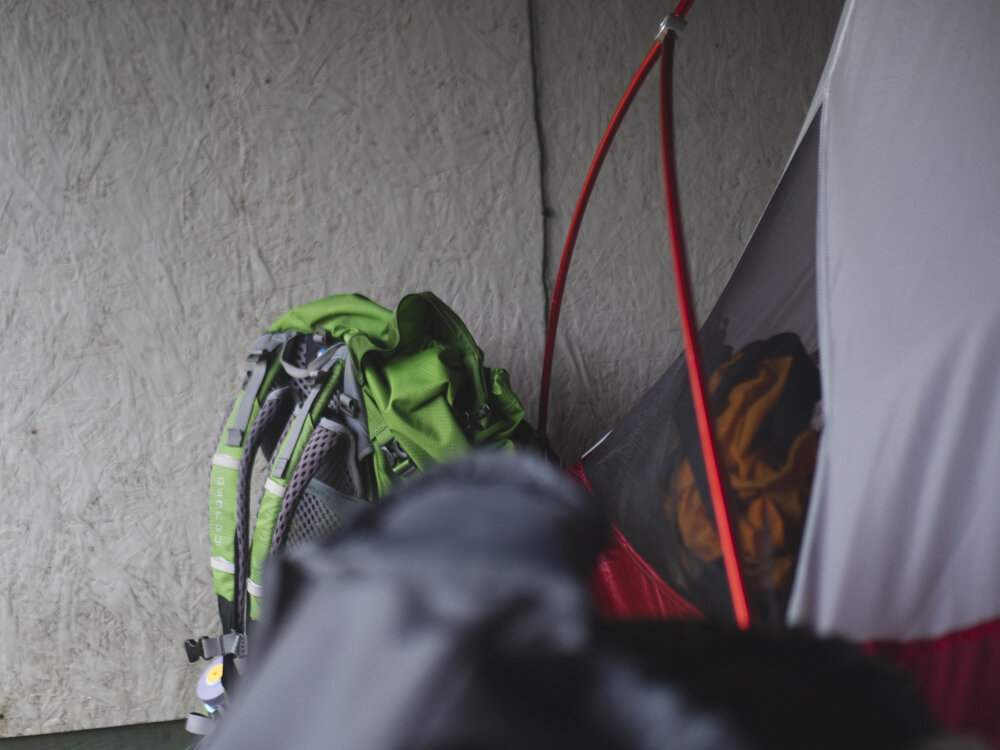
Only slightly squished from a day in a backpack!
As we rested for an hour at the pub, we decided to get another 7km under our belt and make it to Tinahely.
Tinahely was going to be our first and last town along the trail, and walking the short diversion down into it that night felt like the right thing to do. While there we got cash out of the ATM for any possible mystery coffees we might find along the way, and stayed at Murphy’s Hotel as our last fancy night on trail.

Day 2: Tinahely - Muchlagh Hut
On our second day we walked back out of Tinahely and back up to the trail, with the goal of reaching Muchlagh Hut that night. Muchlagh Hut is one of the three Mountain Meitheal shelters built along the Wicklow Way. These shelters are styled after Adirondack shelters, which originate in the Adirondack Mountains of New York state. The shelters are small structures with three sides, a pitched roof and a raised platform which can typically sleep four or five people. Some have varying amenities such as picnic tables or water butts (more about them in our Wild Camping blog post). Muchlagh is the most southerly of the three huts, south of Glenmalure on Carrickashane Mountain.
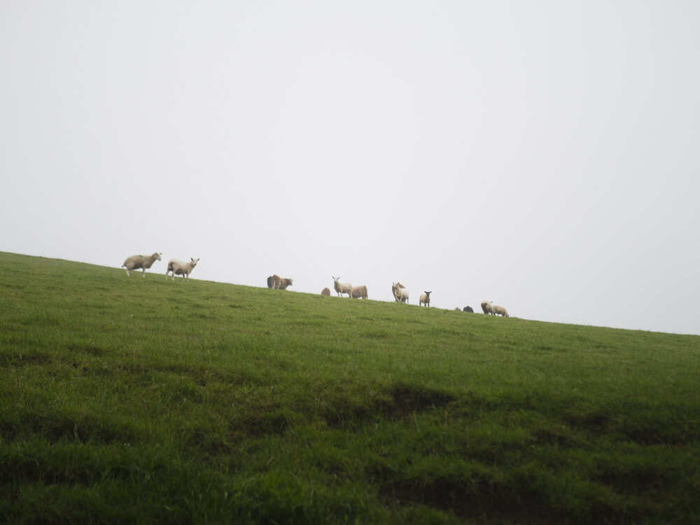
As we hit the trail again that morning we climbed up Ballycumber Hill, meandering through ferns and sheep-shorn grass. The clouds sat low in the sky, almost drizzling for most of the day. We walk some lovely off-road sections, and cover some faster ground on the paved bits. We met up with Bryan Fennell (then RRO for Wicklow, now RRO in Leitrim!) who brought snacks and walked several kilometres with us, helping the trail disappear behind us that day.
That night we pitched the inner lining of our tent in the hut itself as a safeguard against midges and dreamt happy hiking dreams inside the hut.
Day 3: Muchlagh Hut - Brushers Gap Hut
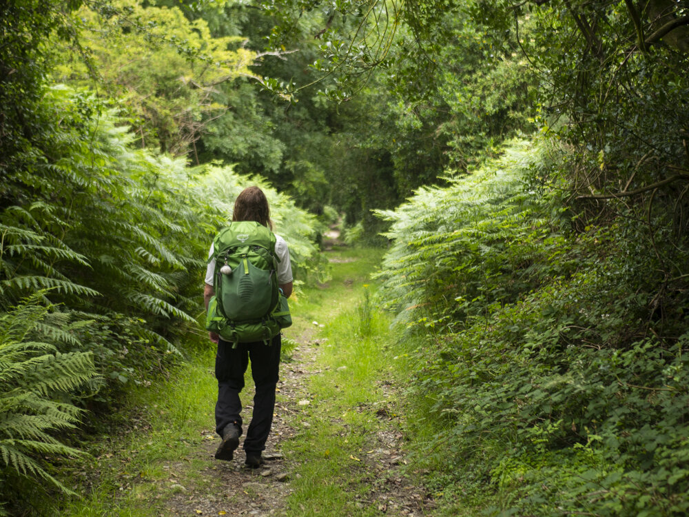
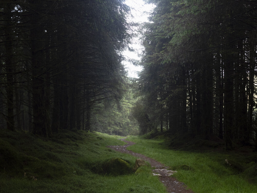
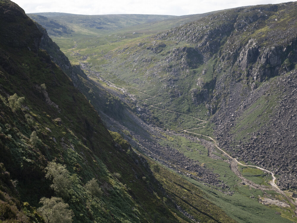
On this trail, the further north you go the nicer it gets, and that morning marked the start of the major off road walking that the Wicklow Way is known for. The lovely darkness of the shelter meant that we slept in later than we expected, and we set off on what was to be our longest day on the trail at about 10am. As you step away from the hut the path immediately starts on a steep climb, and we spent the morning in the forests on logging tracks and boardwalk. We also learnt another name for “boardwalk” that morning - “bog bridge”. Certainly a suitable name for it in our climate.
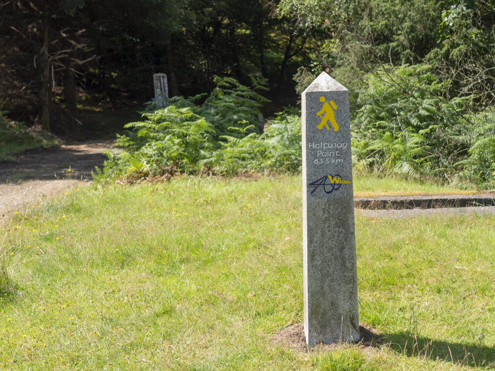
Our aim for the morning was to reach Glenmalure - and specifically Glenmalure Lodge for coffee. After a couple of hours walking we came out of a section of forest to see a granite pillar beside the trail. Walking up to it, we saw that it was the half way marker for the trail, with a large yellow Elvis painted onto the side of it. Knowing we had just passed the half way point, and were exactly on the loose schedule we had in our minds, we had a new spring in our step as we walked the final few hundred meters down to the Glenmalure Lodge.

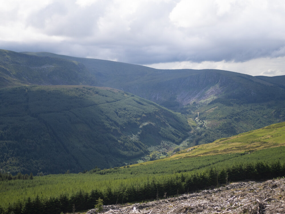
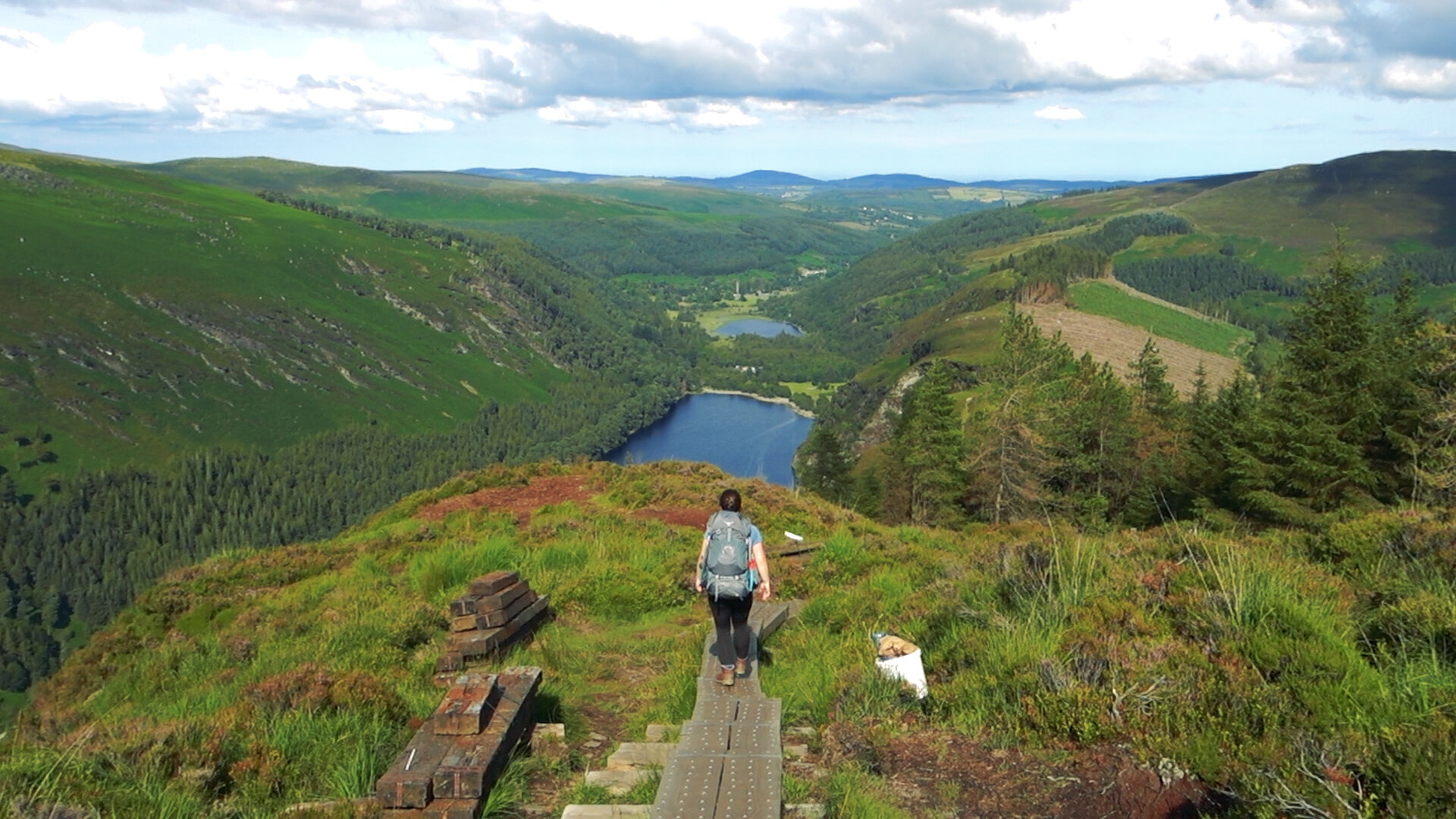
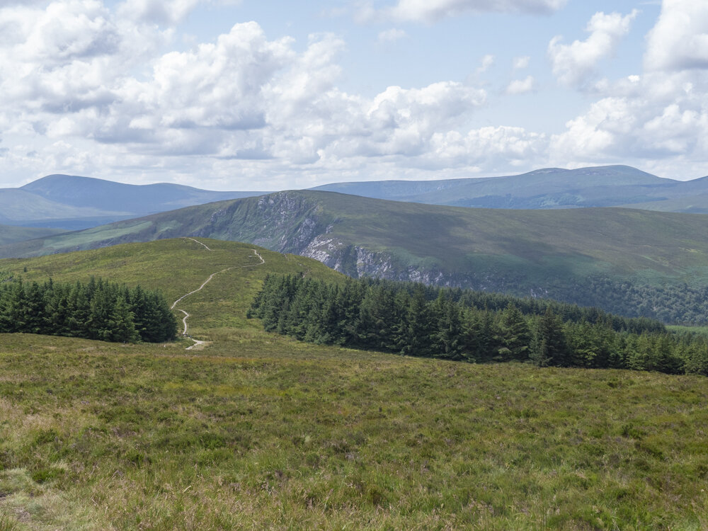
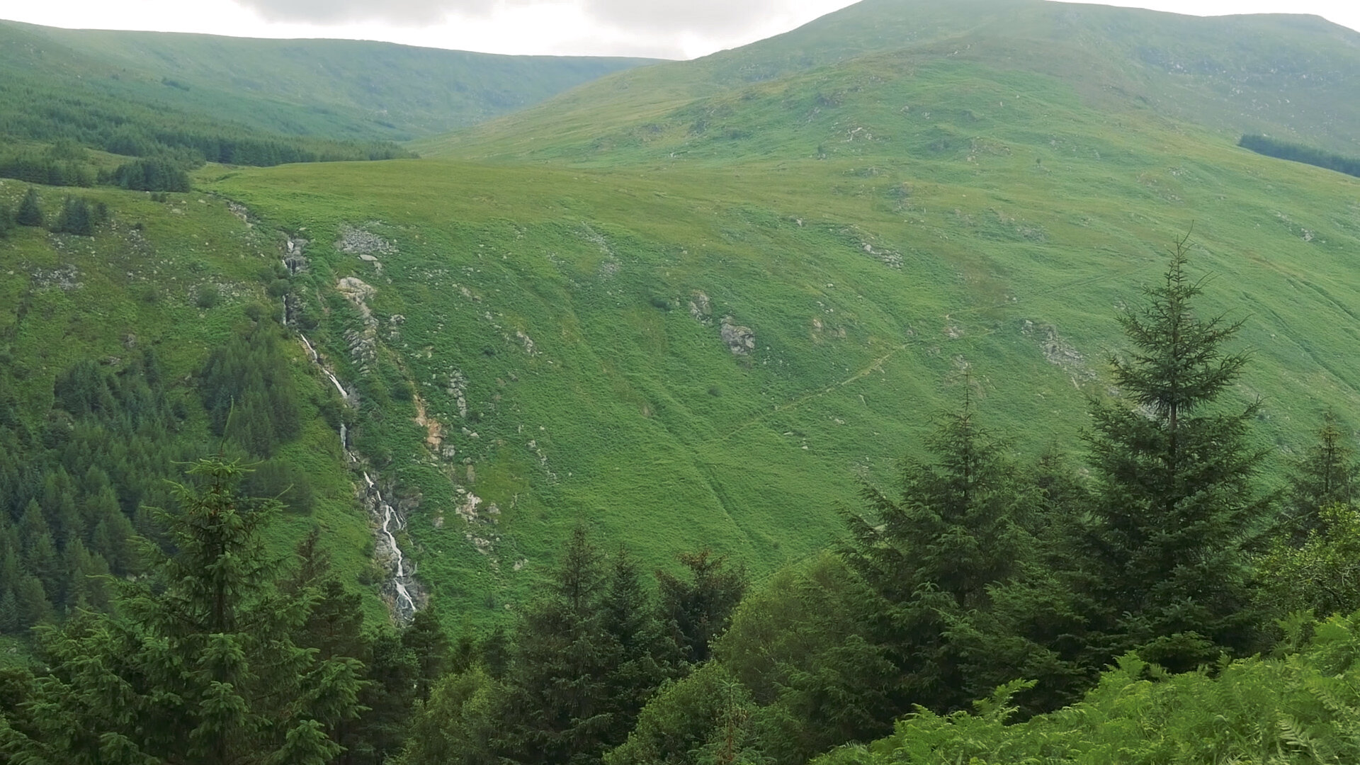
From here, the trail climbs up the south side of Mullacor (which features another hut), and as we passed the hut we briefly met a herd of wild goats relaxing on the logging road. This is one of the biggest climbs of the day, and as we slowly made our way up, the views of the Wicklow mountains around us became more and more spectacular. On reaching the top we had views of Lugnaquilla (Wicklow’s highest peak) and as we continued on, were looking out towards Glendalough. As we walked along the crest of the hill, the boardwalk splits in two directions. Talking to Bryan the day before, he had recommended going left and taking the longer way around to join onto the trail known as The Spinc, and get the spectacular views down through Glendalough Valley, rather than taking the route to the right through more forestry that would bring us straight down to the valley floor. Up to this point we had walked a lot of forest tracks, and so we excitedly took the slightly longer trail along the high valley sides. No matter how many times I’ve visited Glendalough, the views and magic of the place never gets old.
Glendalough is a steep-sided U-shaped glacial valley, with two lakes taking up much of the valley floor. It is also home to an early medieval monastic settlement founded in the 6th century by St Kevin. The trail brought us along one side of the huge slopes, then descended sharply along lots of twisting and switch-backing boardwalk. We smiled so much through this section, blown away by the beauty of the area, and just so happy to be out hiking, completing this mammoth project that we never really knew if we would see the finish line of.
Passing through the bottom of the valley, we took a quick break at the picnic benches outside of the visitors centre before moving on. From here the trail followed an unsuspecting path off the road, immediately bringing us into a light deciduous forest that climbs up the opposite side of the valley. Every now and again the tree cover would break, and we would get a different view back at the two lakes and steep slopes of the area. It was past 6pm at this point and the light was taking on a magic, soft glow.
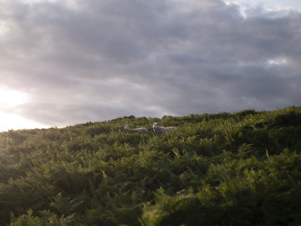


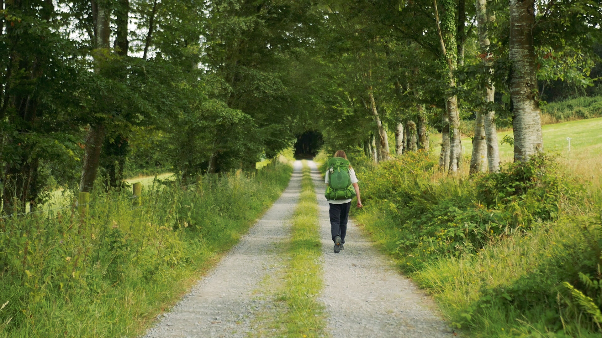
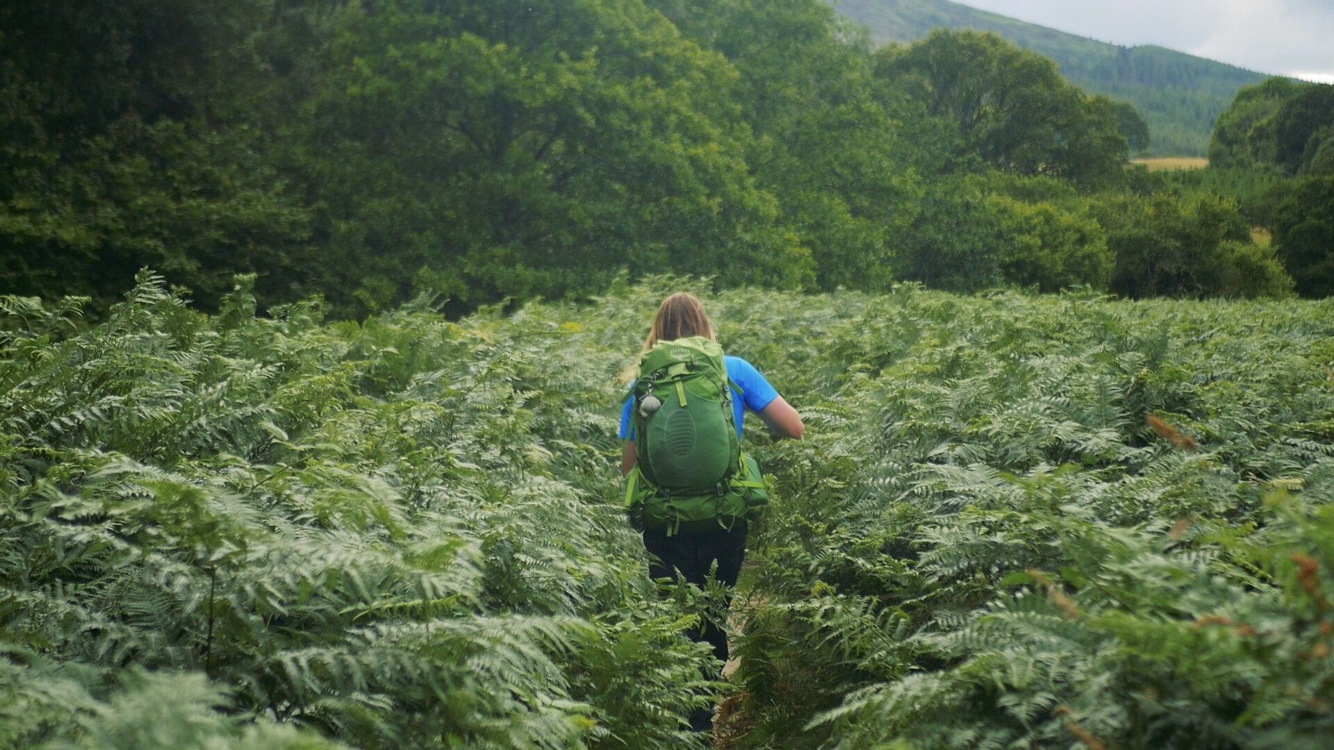
From here we walked through mixtures of forest that skirt the village of Laragh, beautiful mixed woodland of scots pine, oak, ash and gorse. It was along here that we came across a stamping station for the Wicklow Trails Passport. The quality of walking that evening was fantastic, we couldn’t have asked for nicer areas. As the sun starts to set we crossed some more open mountains, ferns gently swaying in the breeze, grass shorn short by the local sheep.
Arriving late to the Brushers Gap hut, we met a french guy and two Germans already set up there. We pitched our tent beside the hut, and after some happy chats crawled into bed.
Day 4: Brushers Gap Hut - Knockree Hostel
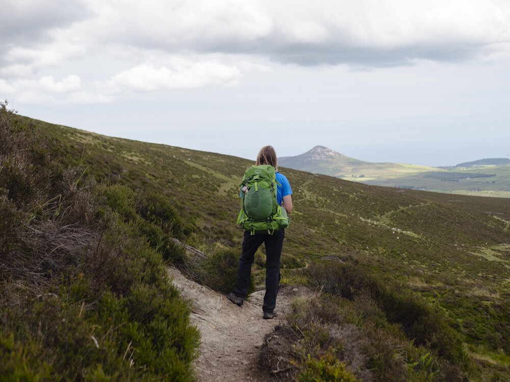
Setting off from the hut the next day we could see the Sugar Loaf (or at least, one of Ireland’s sugar loafs!) sitting alone near the sea. The end goal of the day was Knockree Youth Hostel, roughly 27km away. As we descended the short trail down to the road, we passed a farm house with a tap labeled drinking water. We gratefully stopped and refilled our bottles as this was probably our only refill point for the day.

The morning started with a few kilometres along road, and as the distance ticked by our feet slowly started to wake up again. After some criss-crossing from lanes to forests to lanes again, the trail gets steep as we headed up the side of White Hill. As views of Lough Tay started to appear before us we began to get quite excited. It’s along this stretch of trail that there is a monument to J.B. Malone, the founder of this trail. It was another small reason that it felt right to do this trail last.
As we crested White Hill and made our way towards Djouce the wind whipped our hair in wild streaking dances around us, sun shining through the midday haze. Being one of the “grandfather” trails in Ireland, the Wicklow Way is routed higher than newer trails are allowed to be routed now. We soaked up our final high mountain wander on this trail, excitement building once more as the promise of views of Dublin lay just beyond Djouce.
The trail around Djouce is the quintessential mountain trail, with different wild heathers lining our way. As we neared Powerscourt Waterfall the trail got busier, and we quickly passed through there and Crone Wood. Crossing into Glencree valley the trail twisted with the turns of the river, and we happily meandered along with it.
Our final climb of the day brought us up out of the small valley and onto the side of Knockree Hill to the hostel. The hostel is a purpose build building, and was the perfect place to spend the evening. Large glass windows fill the walls of the common areas, giving views out to the sugar loaf and other surrounding mountains.

Day 5: Knockree Hostel - Marlay Park, Dublin
We took our time leaving Knockree Hostel, not wanted to rush away our final day. Once moving we set off for Prince William’s Seat, from which we could look back and see most of the trail we had walked so far. As we looked out over the view, I was hit with waves of excitement and relief, knowing that the finish line of this amazing challenge was just around the corner. Looking to Carl, I saw a whole sea of completely different emotions washing across his face.
Setting out on an adventure can be a dangerous decision. You will find and loose yourself just as often as you will the trail. There is something so beautiful in being outside for so much of the year, in having your mind wander so far that you can see the many versions of yourself there were along the way.
When I experienced that joyful moment on the rocky trail, it was because I knew that this project had rooted me in the outdoors, and I would always love it.
When Carl stood beside me, he experienced that hint of fear that comes with the ending of something. In a simple sense, Tough Soles was incredibly easy. It was just walking. You walk as far as you can, and then you rest. You take shelter from the rain as best you can, you hike through it when you can’t. It is simple and straightforward and so incredibly freeing and thrilling. And when you come to the end, how can you know you will experience that again?
I guess the honest answer is you can’t, but I also knew that this would not be our only adventure. Once you take the plunge, push yourself outside of your comfort zone, you will always be able to go back there. It will always be with you. I understood Carl’s fear, had felt it so painfully myself during the winters we took off. But this I knew this wasn’t the end.
And so we finished the trail.
Coming down off of Prince William’s Seat we crossed over to Two Rock Mountain and climbed up towards fairy castle. This section of trail we had walked before as part of the Dublin Mountains Way, and was close enough to home that we had spent time in these hills before. It was a walk of excited bursts of fast hiking, followed by slow strolls as we looked down at Dublin.
Seeing the city in front of us made the last 5 kilometres fly by beneath our worn soles. It’s surprisingly quick the transition from mountain to city, and suddenly we were in Marlay Park.
I feel that the best way to finish this is to transcribe what we said to the camera at Kilmashogue forest, a couple of kilometres from the end of the trail. We had family and friends waiting at the stile that marks the end of the trail, and knew that we wouldn’t be able to film our usual end bit with the excitement and faces. So here are some of our final thoughts on that Sunday afternoon:
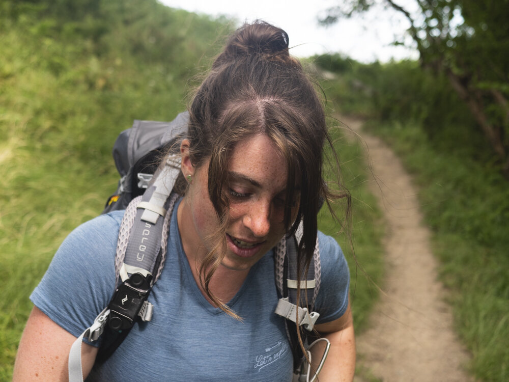
Carl: We’re taking a break at Kilmashogue forest before the last 2 or 3 kilometres … and we thought we would film our end of video, or end of trail, piece here. What did you think of the trail Ellie?
Ellie: I think … the further north we got, the better it got. We’ve met loads of wonderful people. And … it … I don’t know, I guess we have a lot of feelings because this is our very last one. So I don’t know … if we’re going to be able to summarise it the same way that we normally do.
Carl: This was the very first ever National Waymarked Trail, and the route has remained pretty much the same since 1981 when it was founded. And … I think I have a hard time grading this trail out of 10, the way that we always do, because this one was the first. I think … some things are done in a way that we don’t see in some other trails now, and you also see a lot of things where you can see the roots of some of the other trails… And the same patterns - y’know this set those trends….
I give this trail a first out of ten.


Thanks to all the amazing people who we met along the way, and to everyone who helped and supported us. We always knew this would be about the trails, but we never expected it to be so much about the people we met along the way too. This is not the end of Tough Soles, merely the closing of the first chapter. We have many more adventures we want to go on, new trails to explore, and plenty of stories to share with you.
Until then, happy hiking.

If you like our blog you can subscribe to it here!
If you really like it, you can support us on Patreon