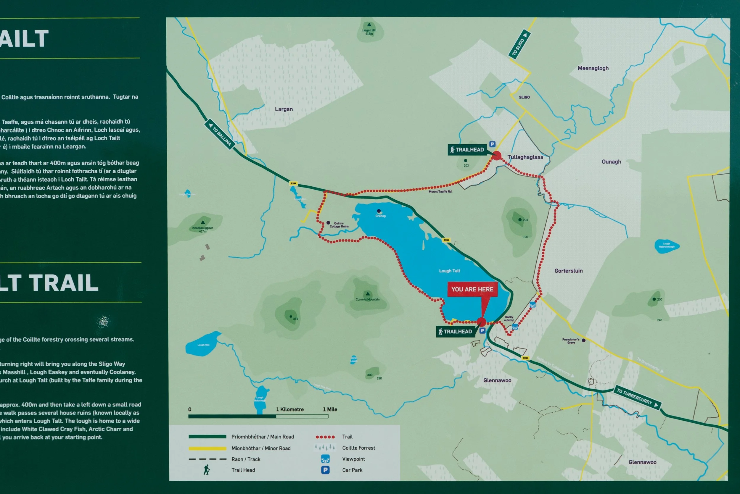
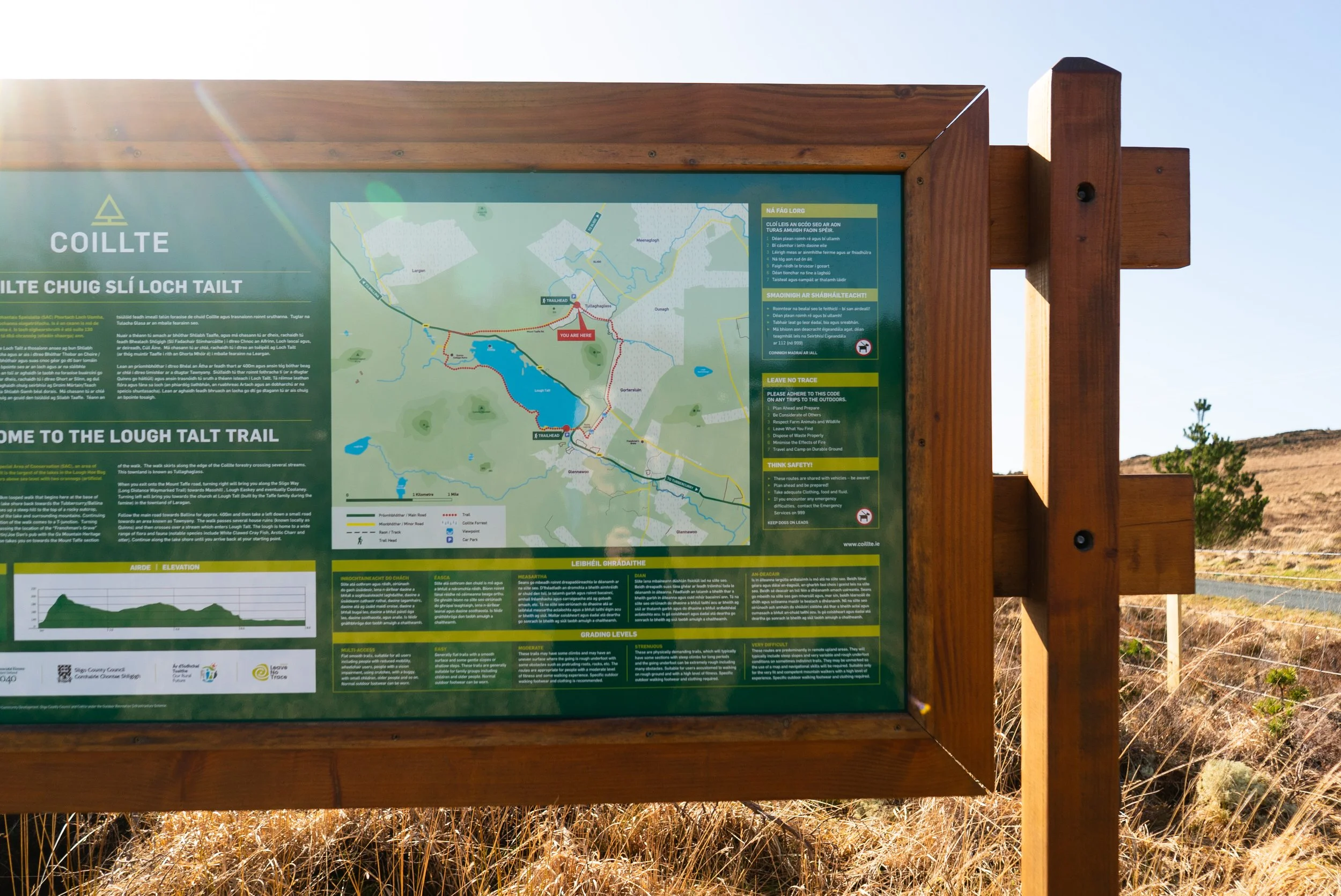
Overview
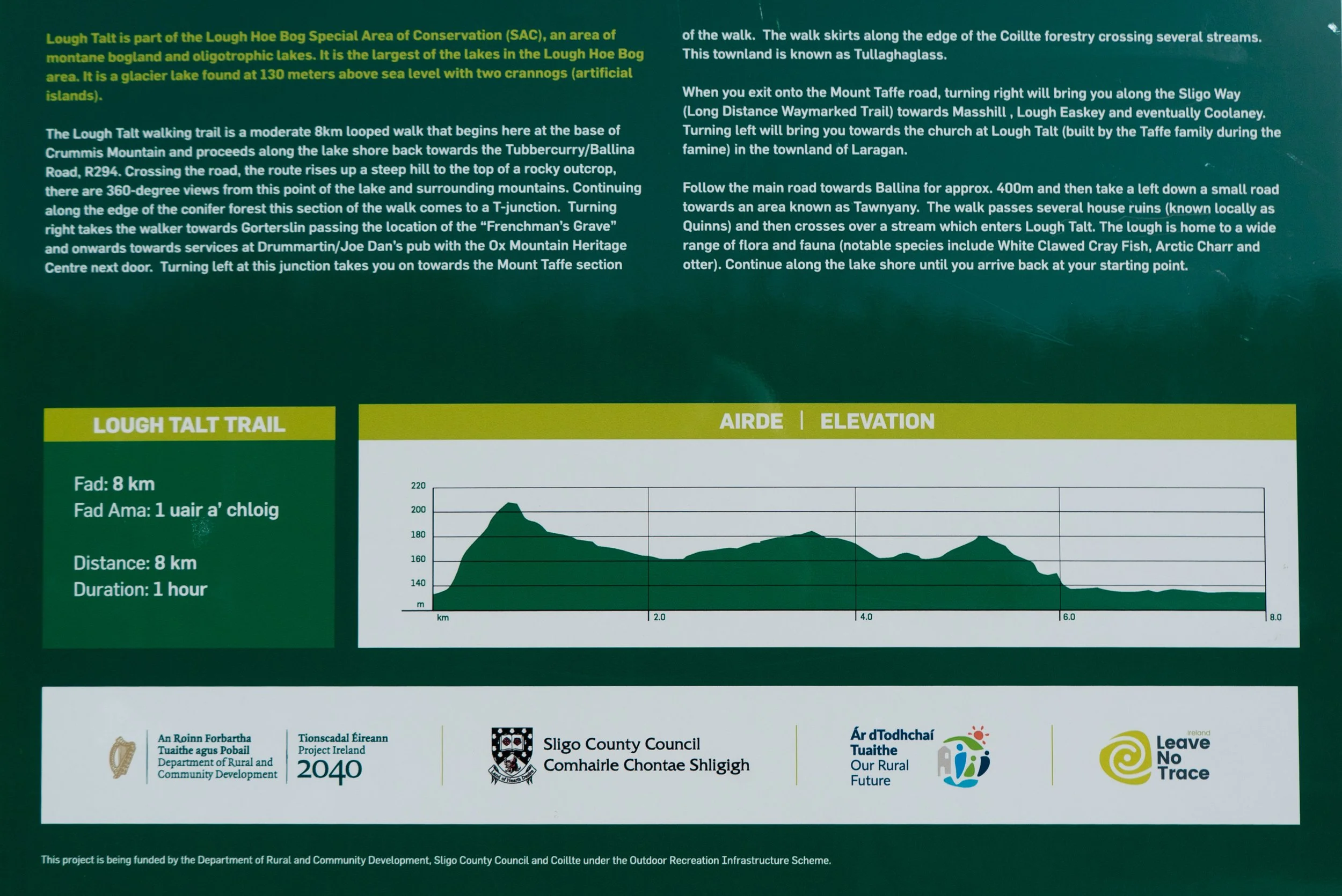
Distance: 8km
Format: Looped trail
Time: 2 - 3hrs, depending on how long you want to explore!
Parking:
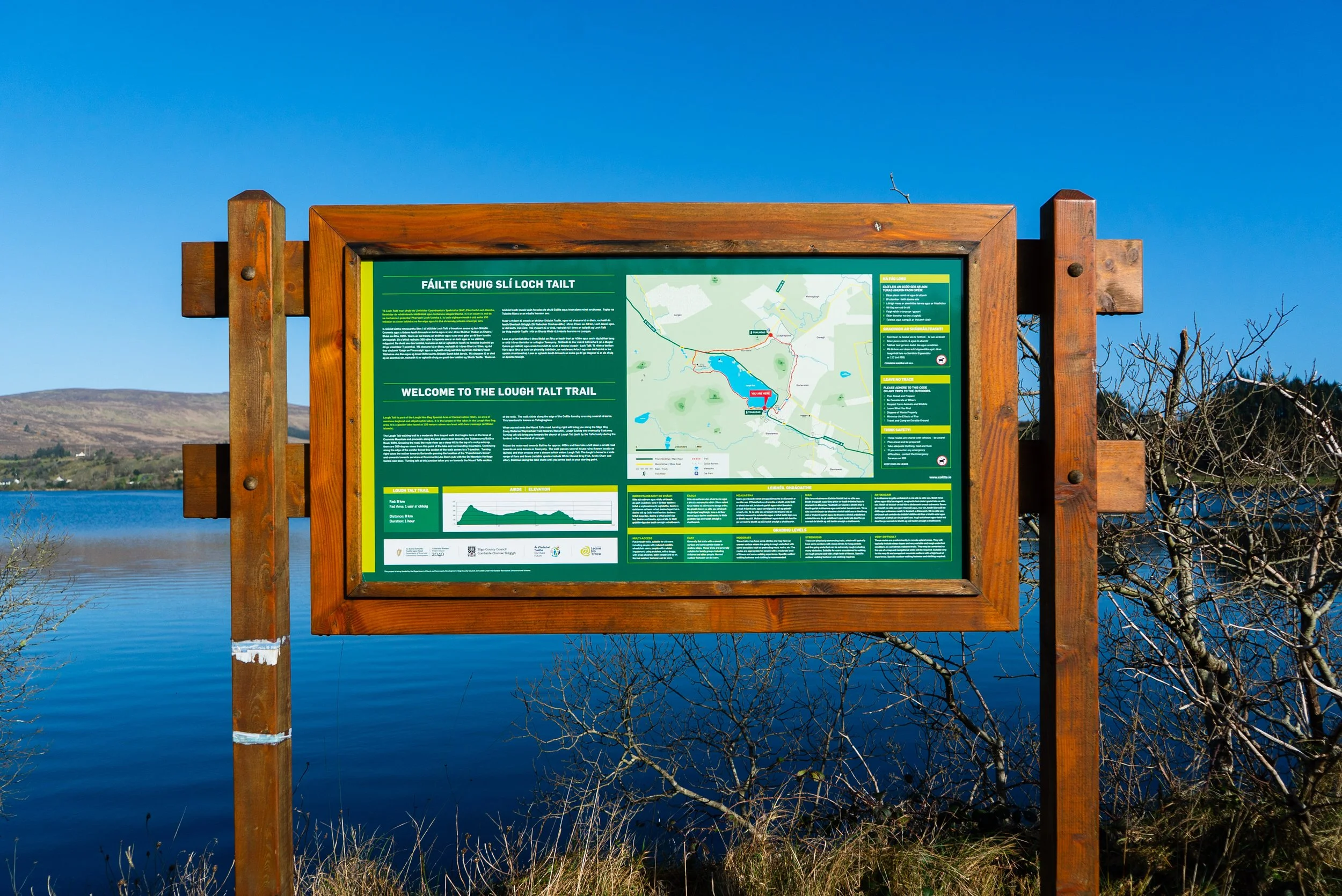
Lough Talt Car Park, on the south-east corner of the lake with ample space for 10+ cars.
Lough Talt Trail - Forest Car Park, on the northern corner of the trail, where the route takes in some Coillte forests. Small, only room for a couple of cars.
Trail difficulty: Easy
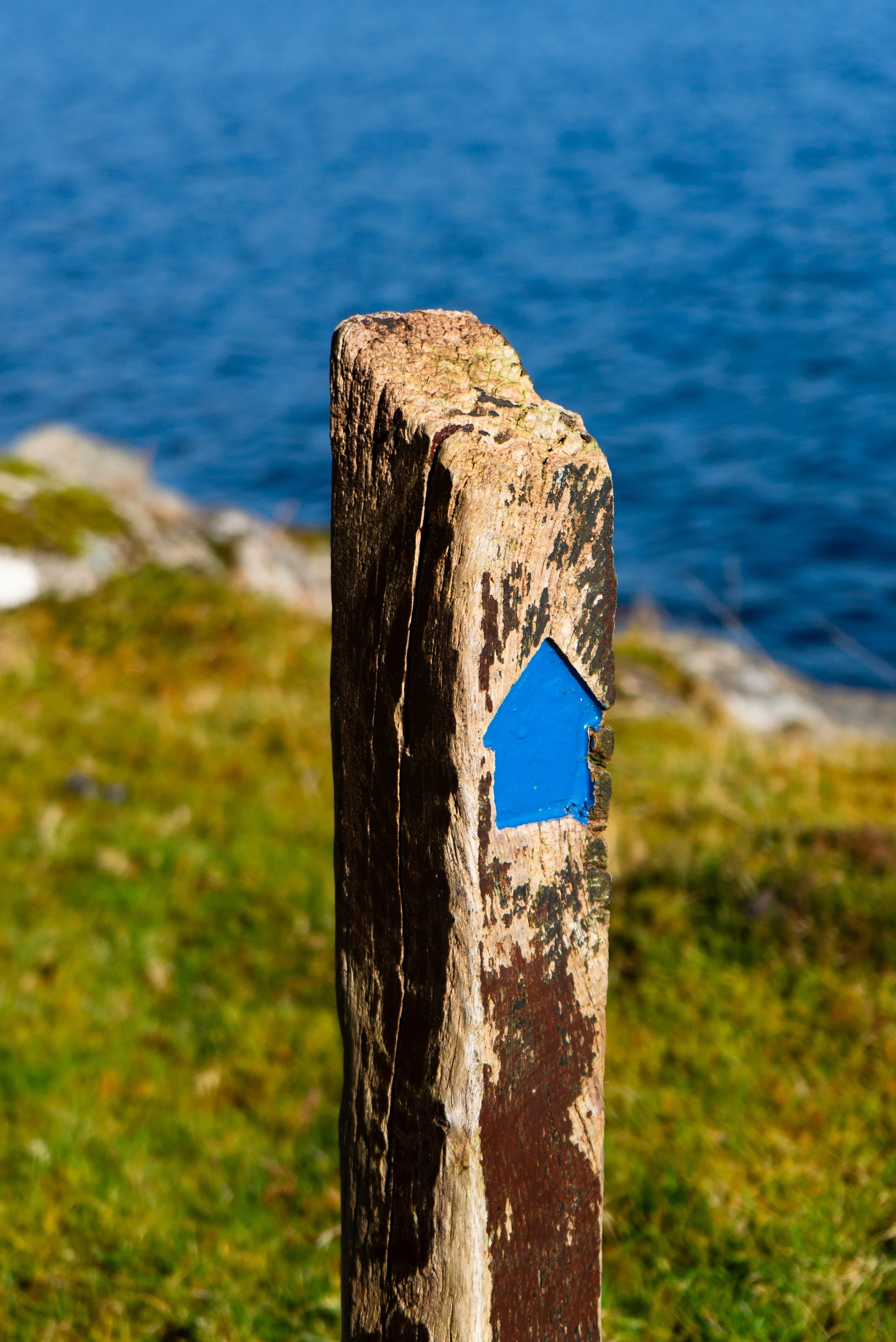
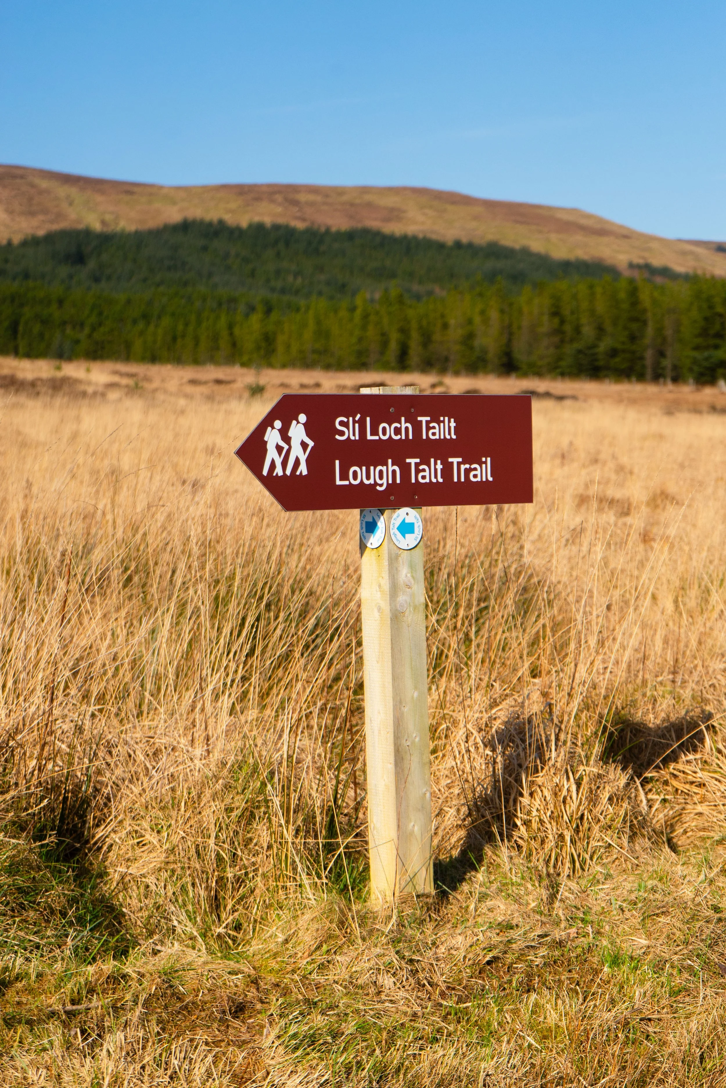
This a waymarked route with blue arrows. You walk along the lakeshore, small country roads, and forest trails. Read how we rate trails here.Trail quality: 4/5
This is a new trail, so the terrain underfoot is quite good. My only “complaint” is that the different terrains come in single long sections, as opposed to mixing and blending.Views: 4/5
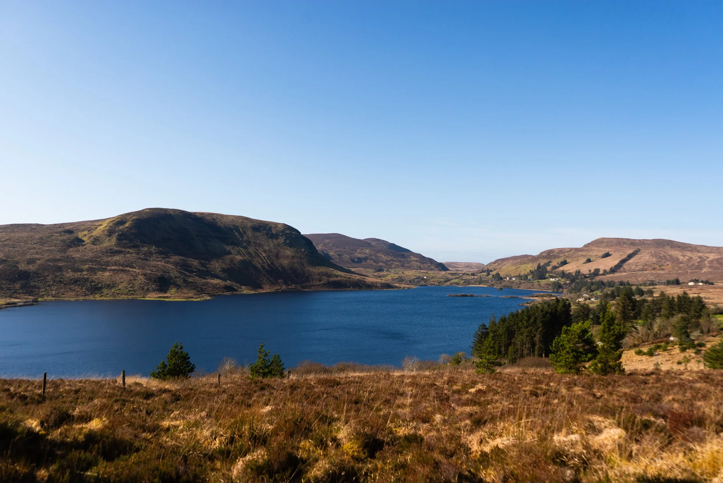
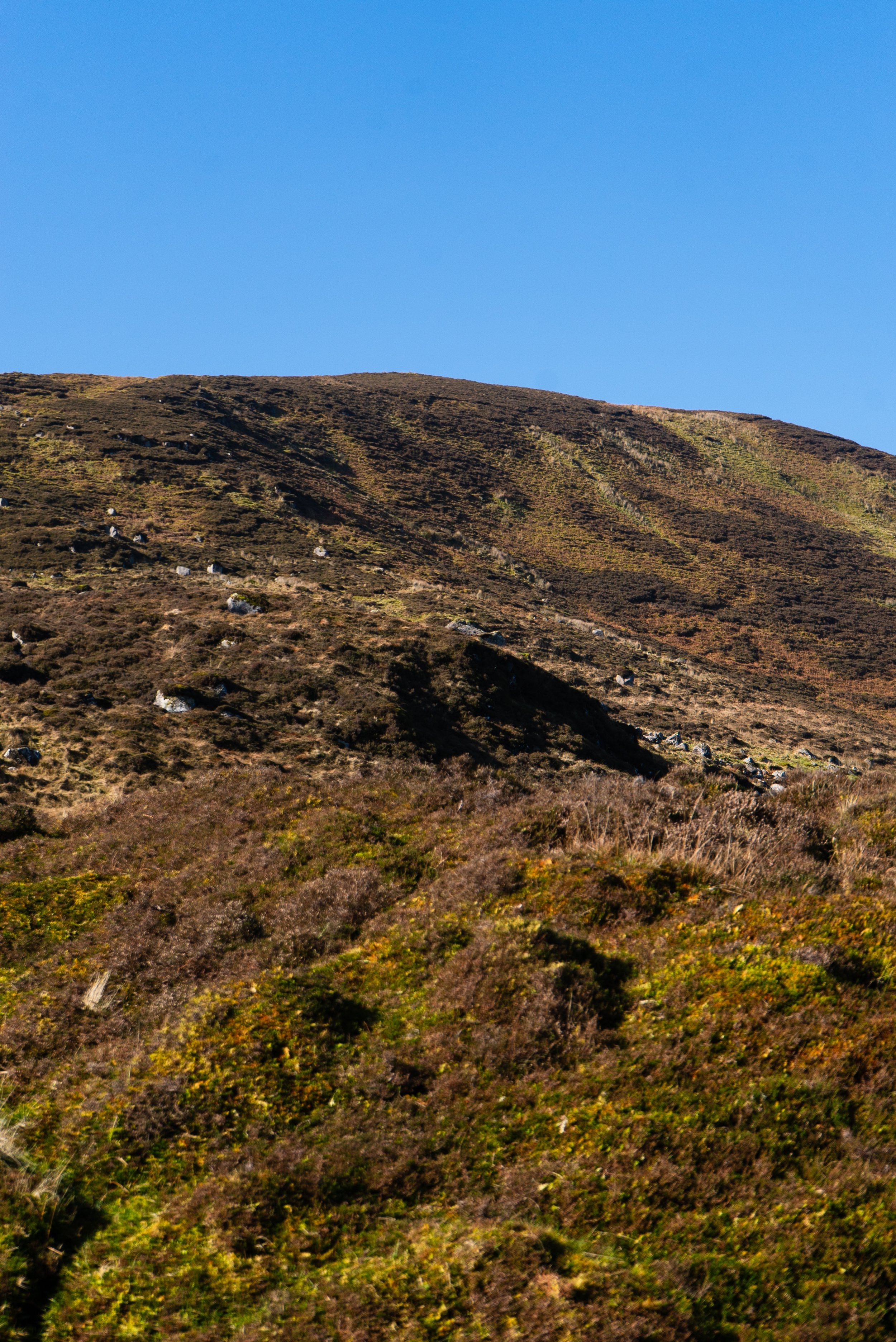
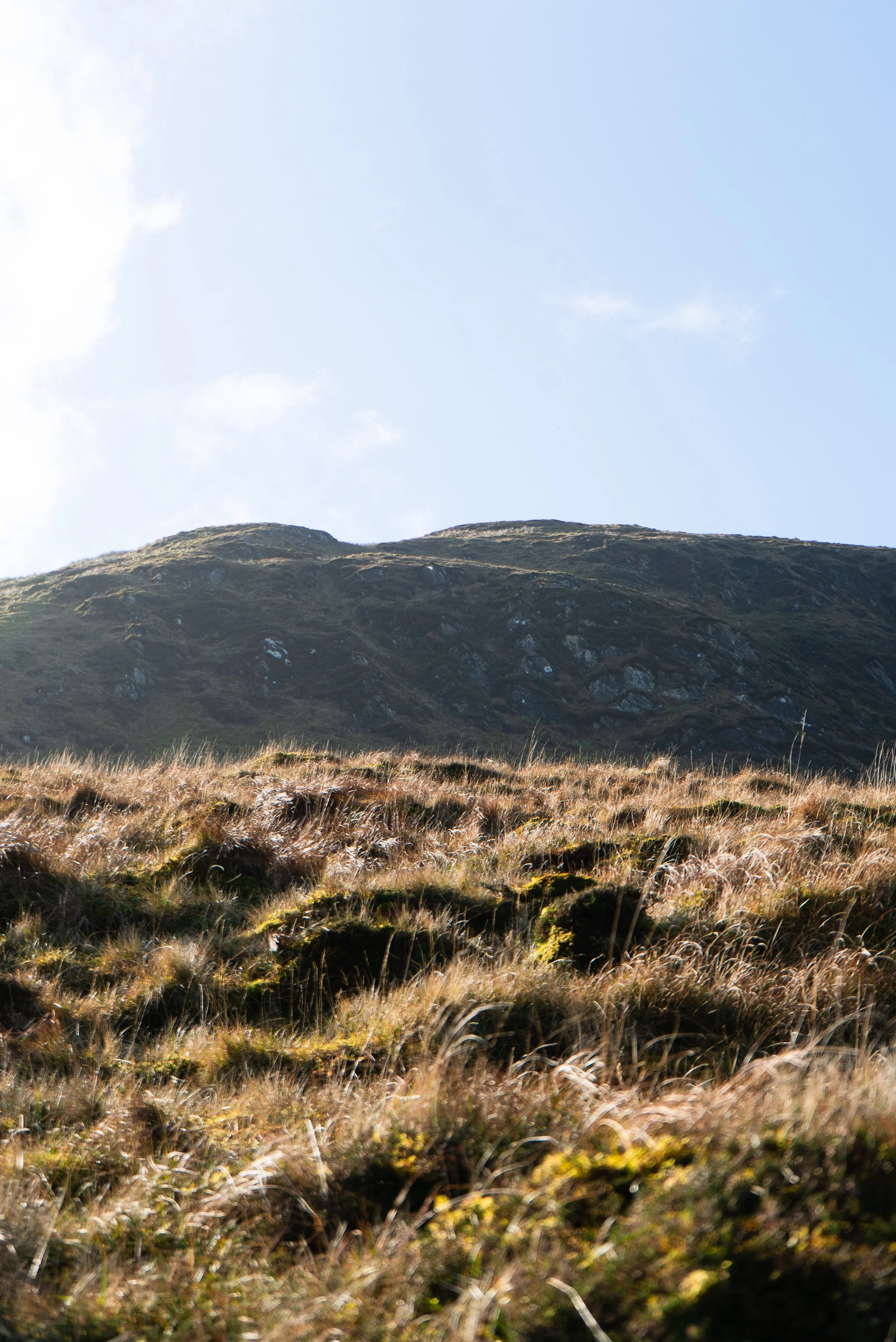
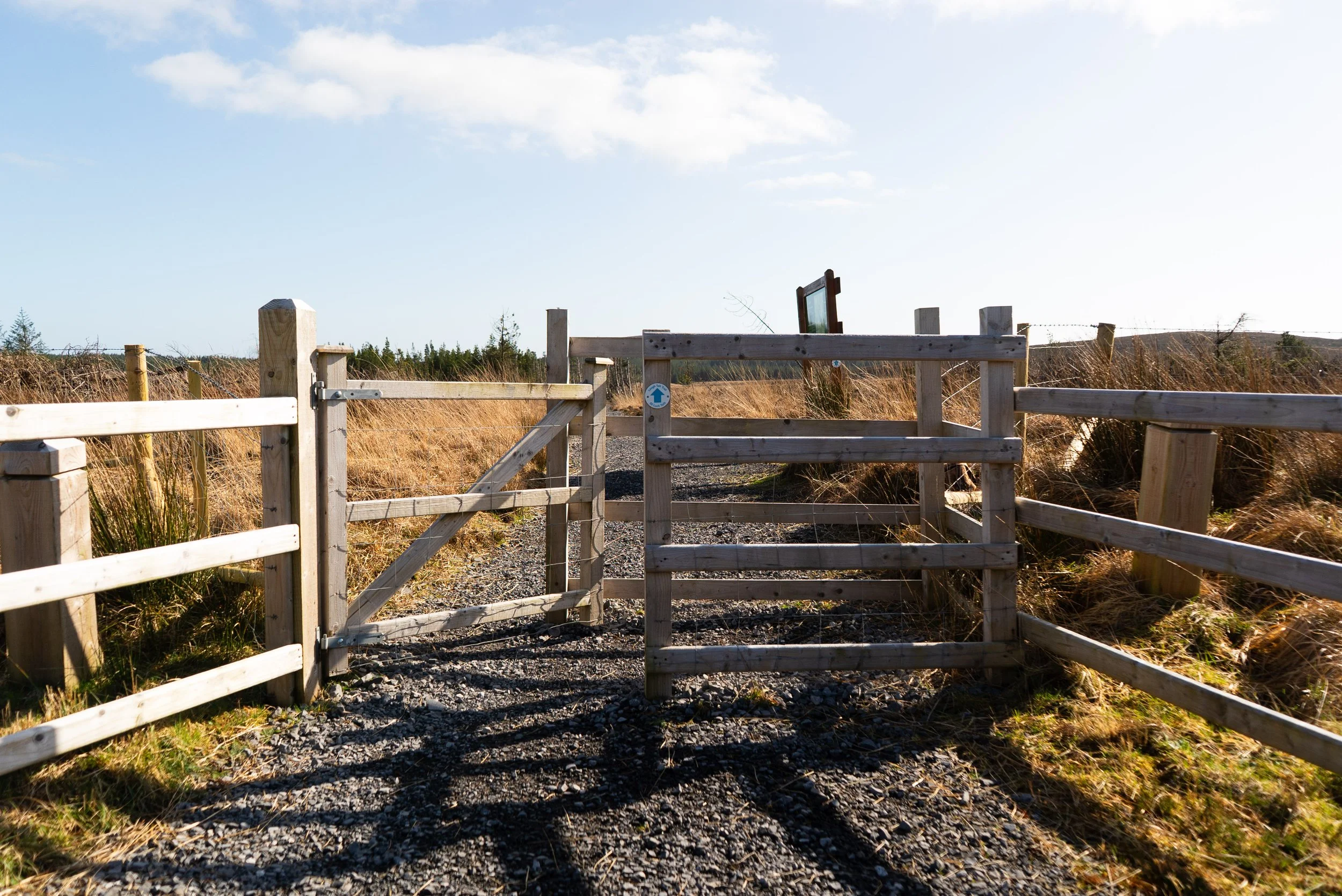
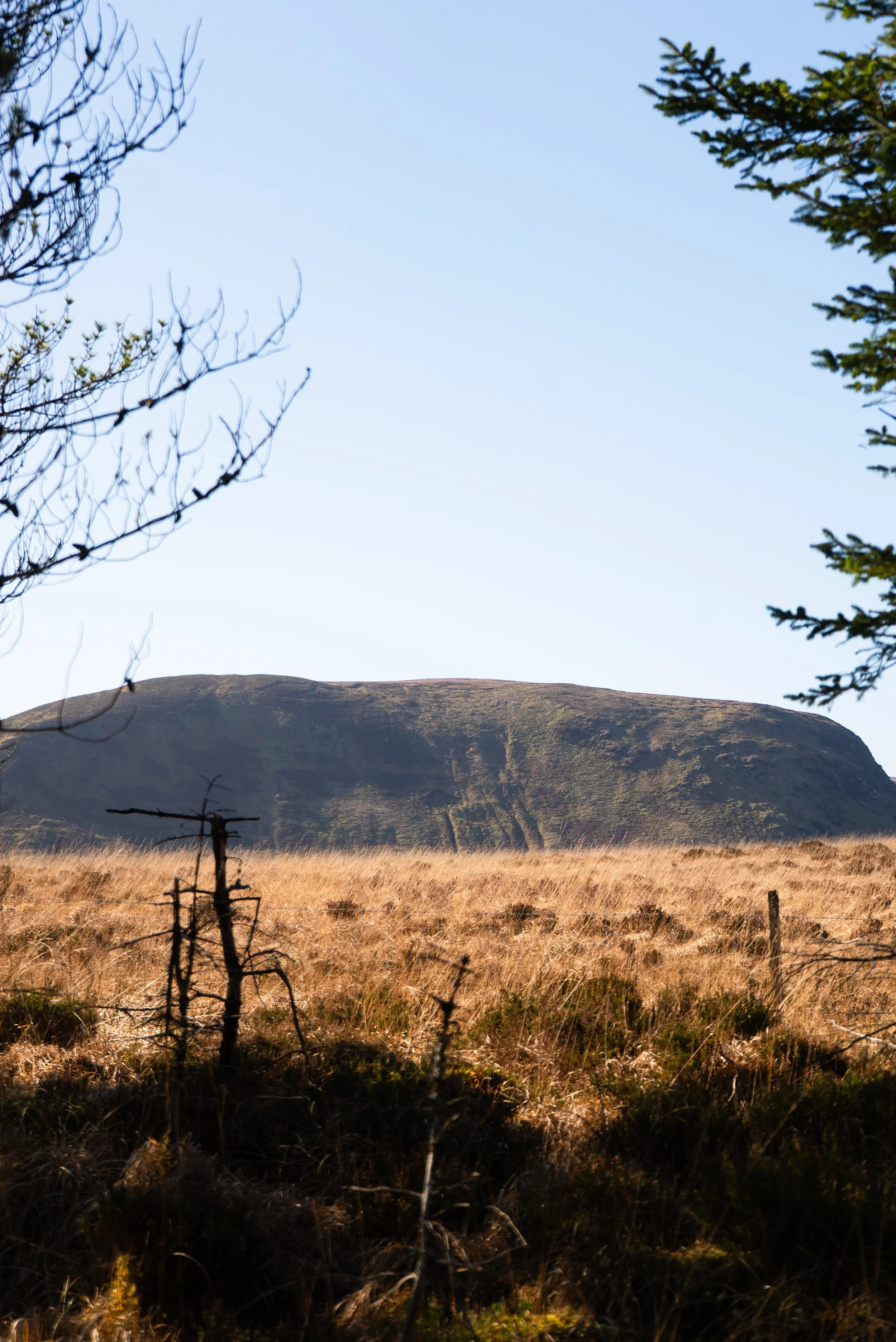
The Ox mountains are pretty desolate place, and I feel like this trail captures the desolate-ness without being too difficult.Buggy/Wheelchair friendly: Yes-ish. The south-east forestry section has some very steep trails, and there are one or two wooden wooden staggered barriers and kissing gates.
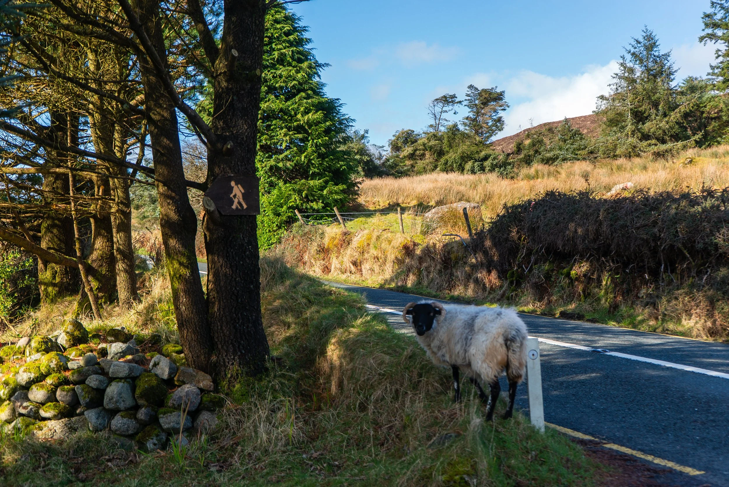
Dogs allowed: Unknown - keep dogs on lead.
When was I here: March 2026
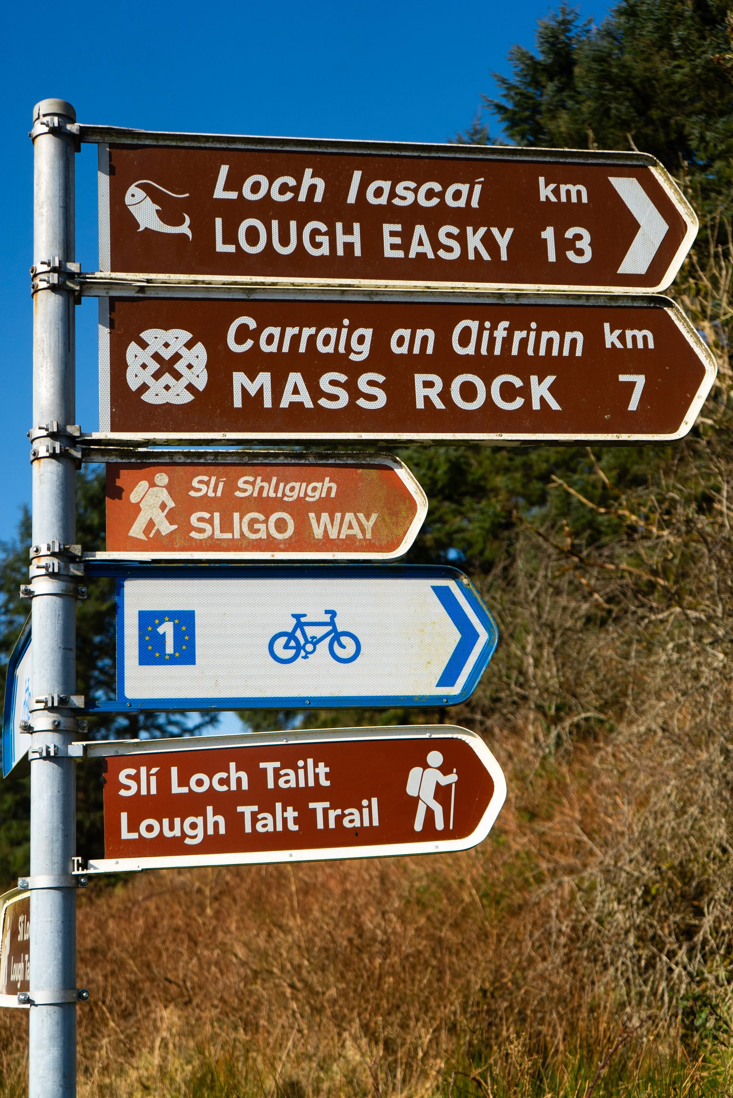
External links:
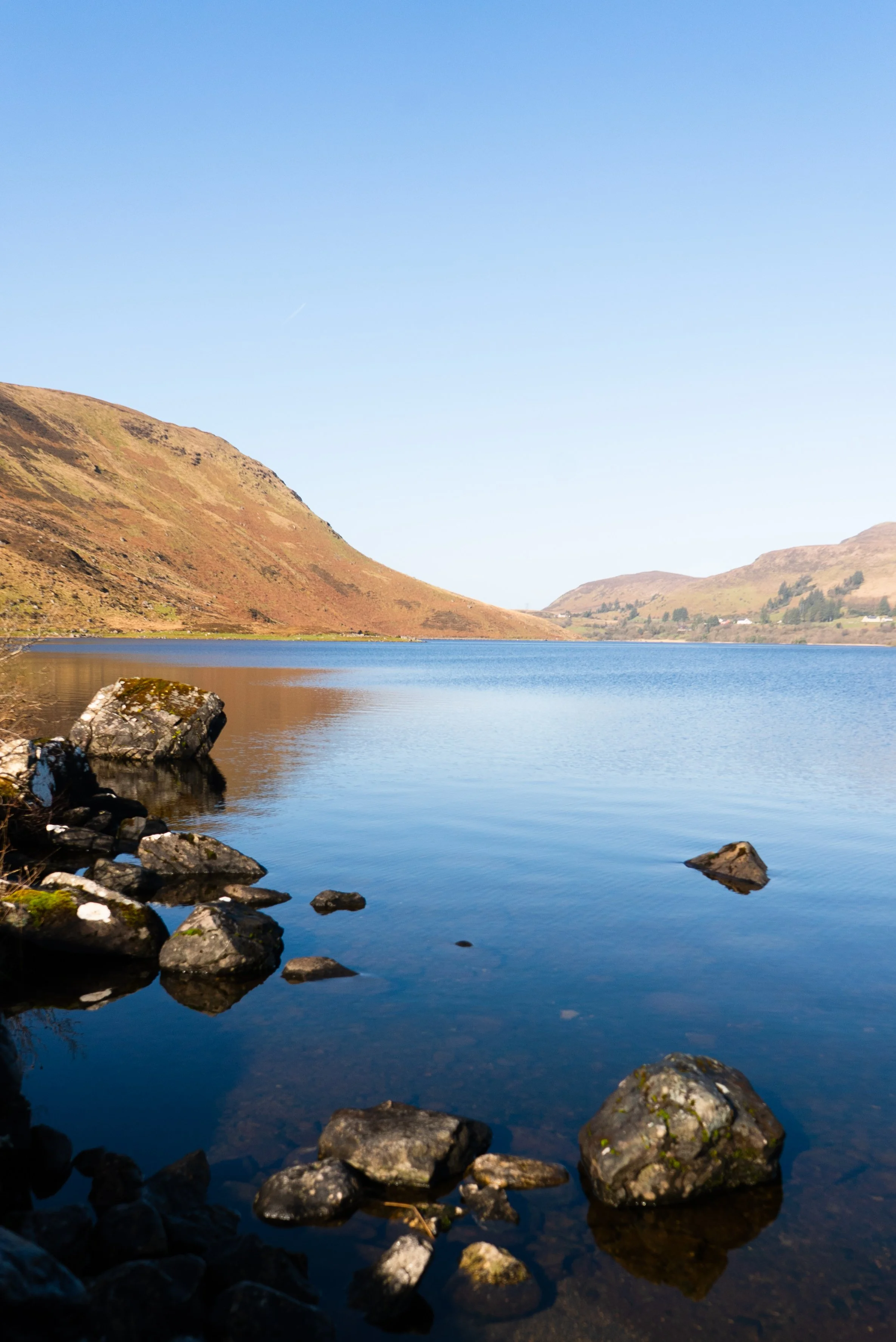
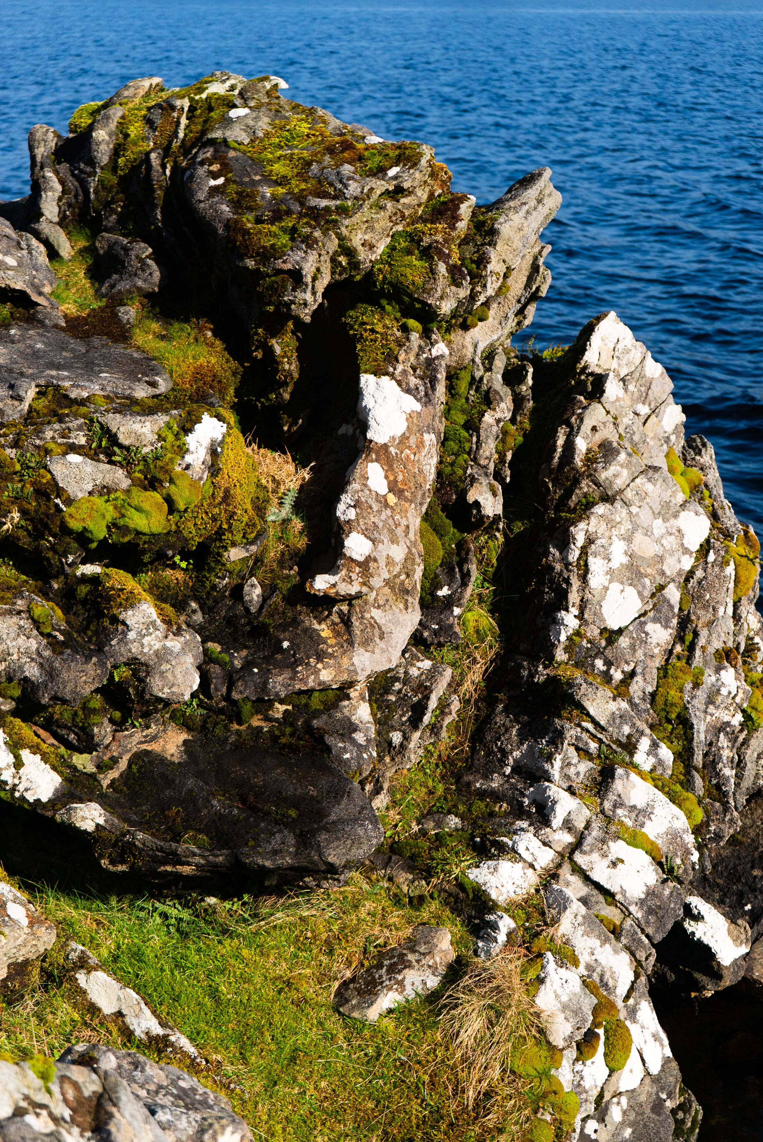
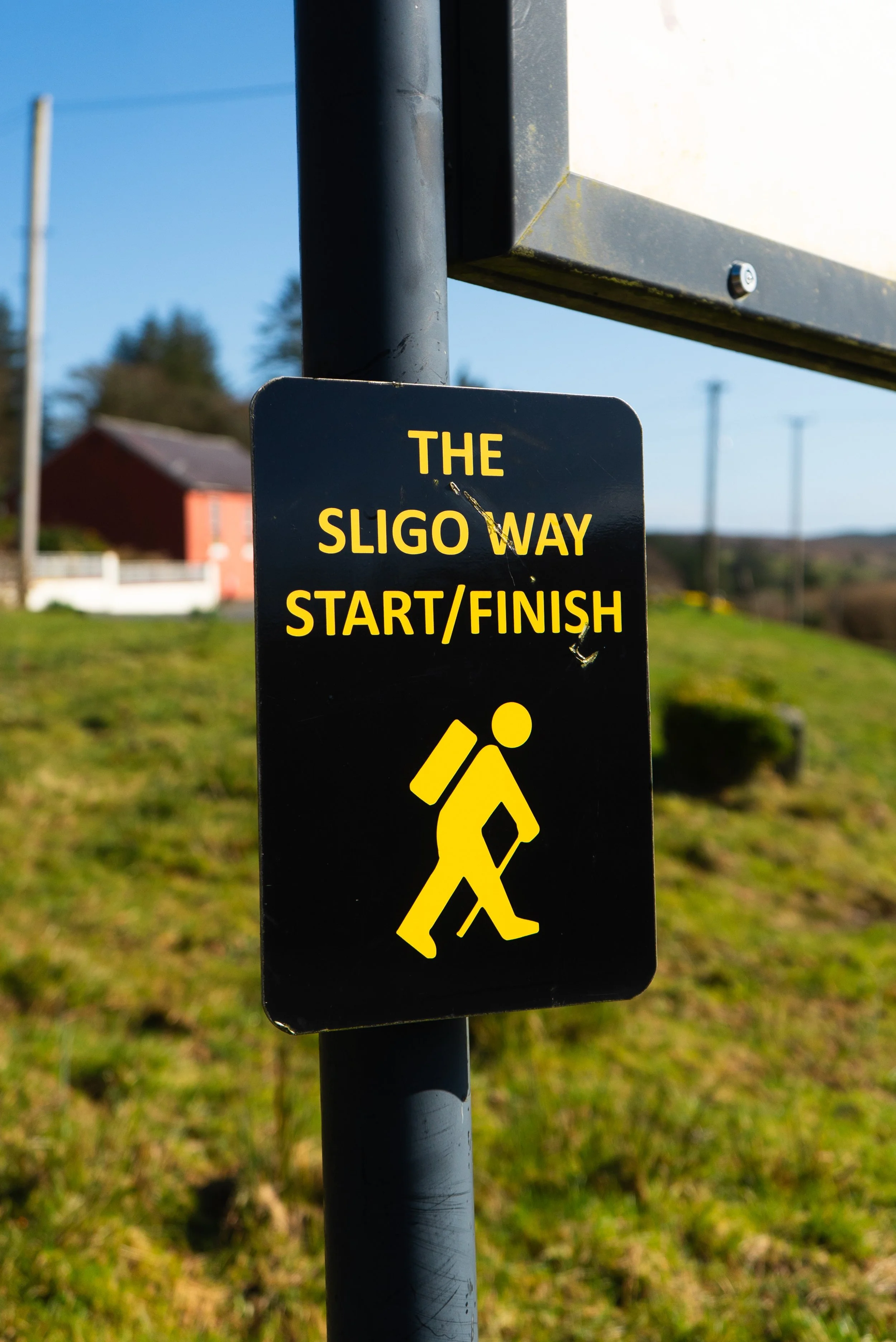
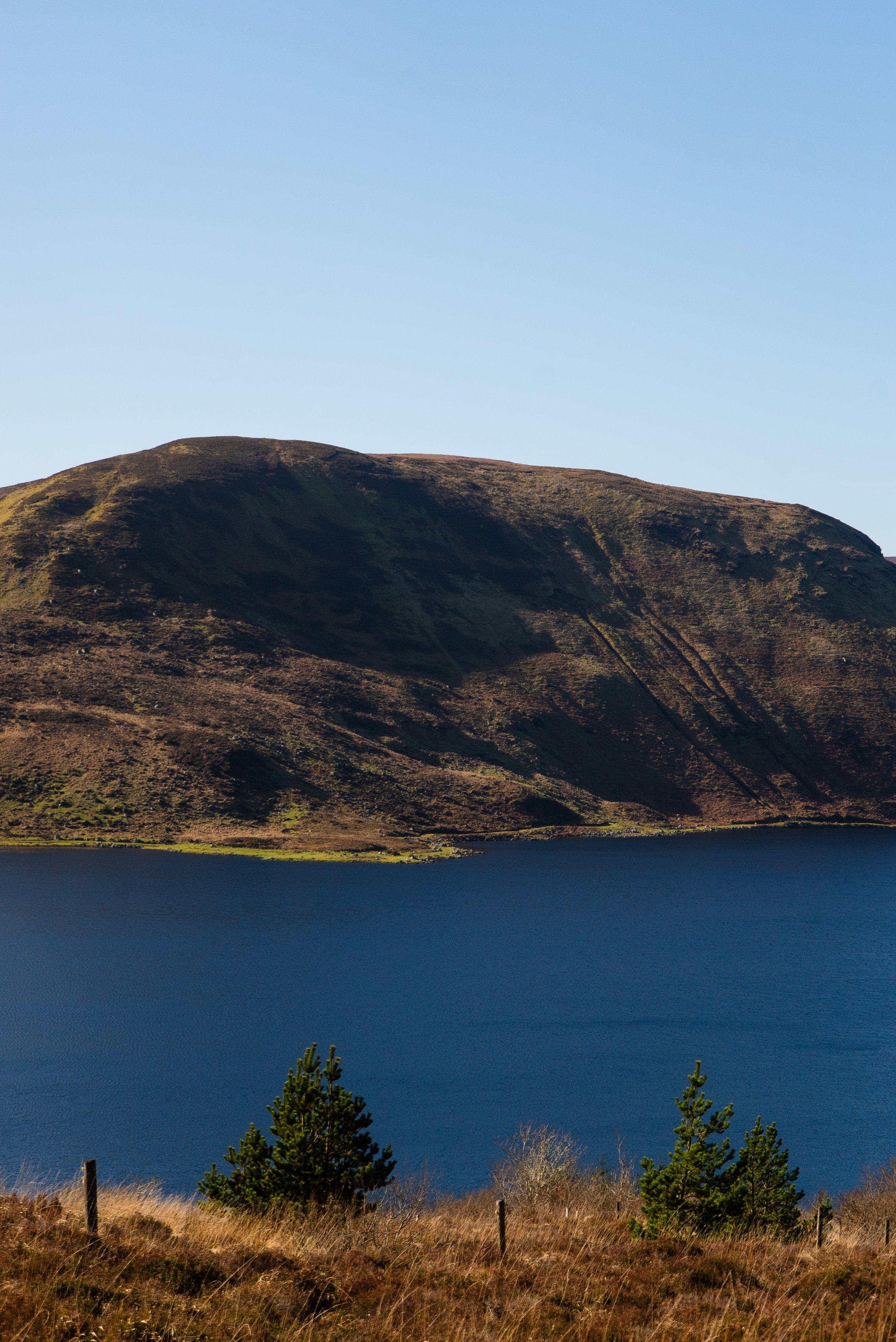
I pulled into the south-east car park on the first truly sunny day of 2026. Lough Talt is nestled away in the Ox Mountains, and somewhere I’ve not been in almost nine years. The last time I was here was with Carl, finishing the Sligo Way. It was our 10th trail out of all 42 National Waymarked Trails, and we were so tired by the time we sat not too far from the shoreline that my main memories are the gale-force-gusts, and the feel of the sun on wind-brunt cheeks.
This time, after an hour of driving through glorious sunshine, I was giddy with excitement - almost bouncing as I hurriedly packed my bag in the car park. I’m glad that it remained a beautiful day, as my packing was so hurried that I actually forgot my rain jacket in the van.
I walk this trail clock-wise, and in reverse to how the info-boards explain the trail. Also: the info-boards state that this trail is 8km (true) and takes an hour to walk (untrue). Unless you’re here to run, budget 2 - 3 hours.

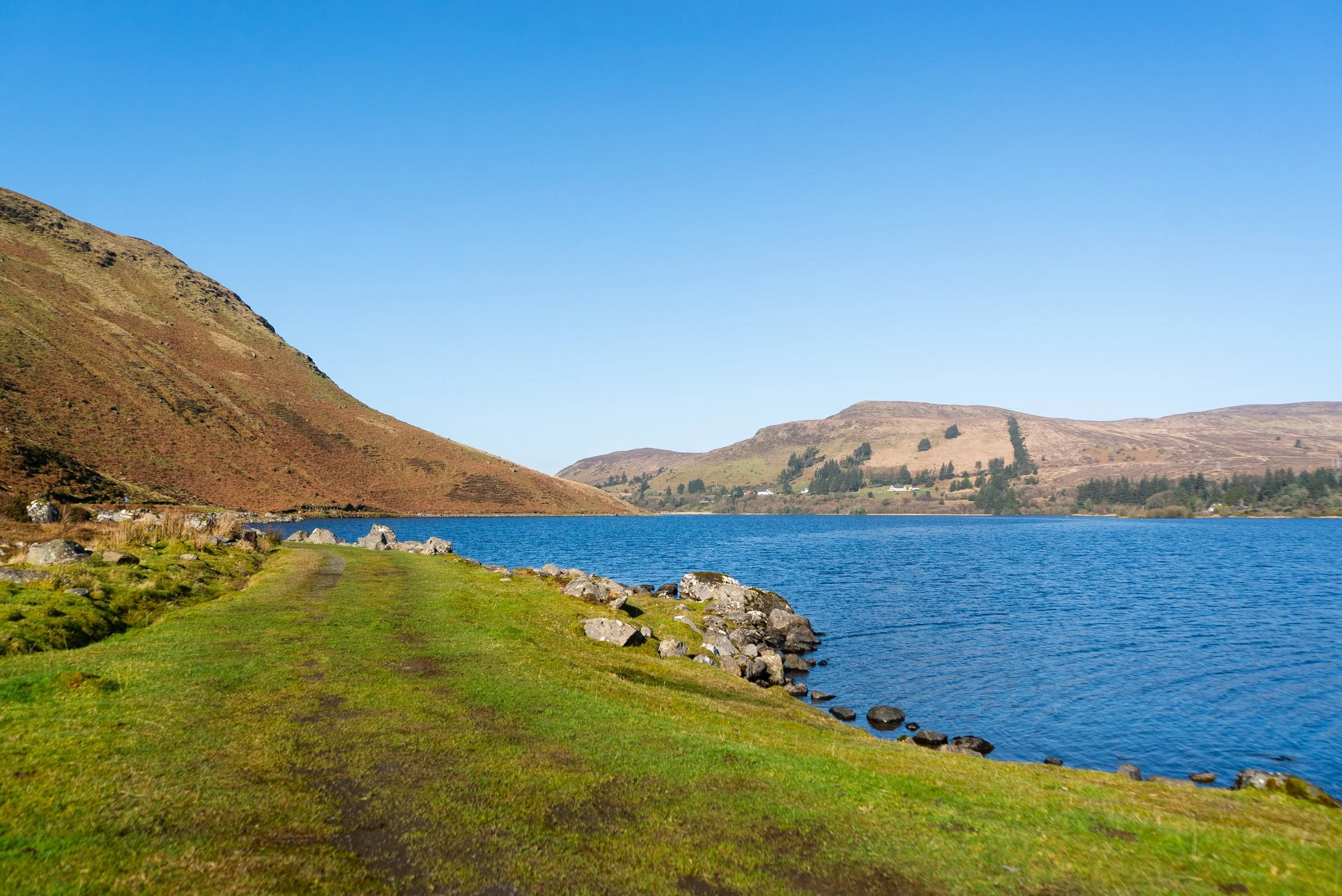
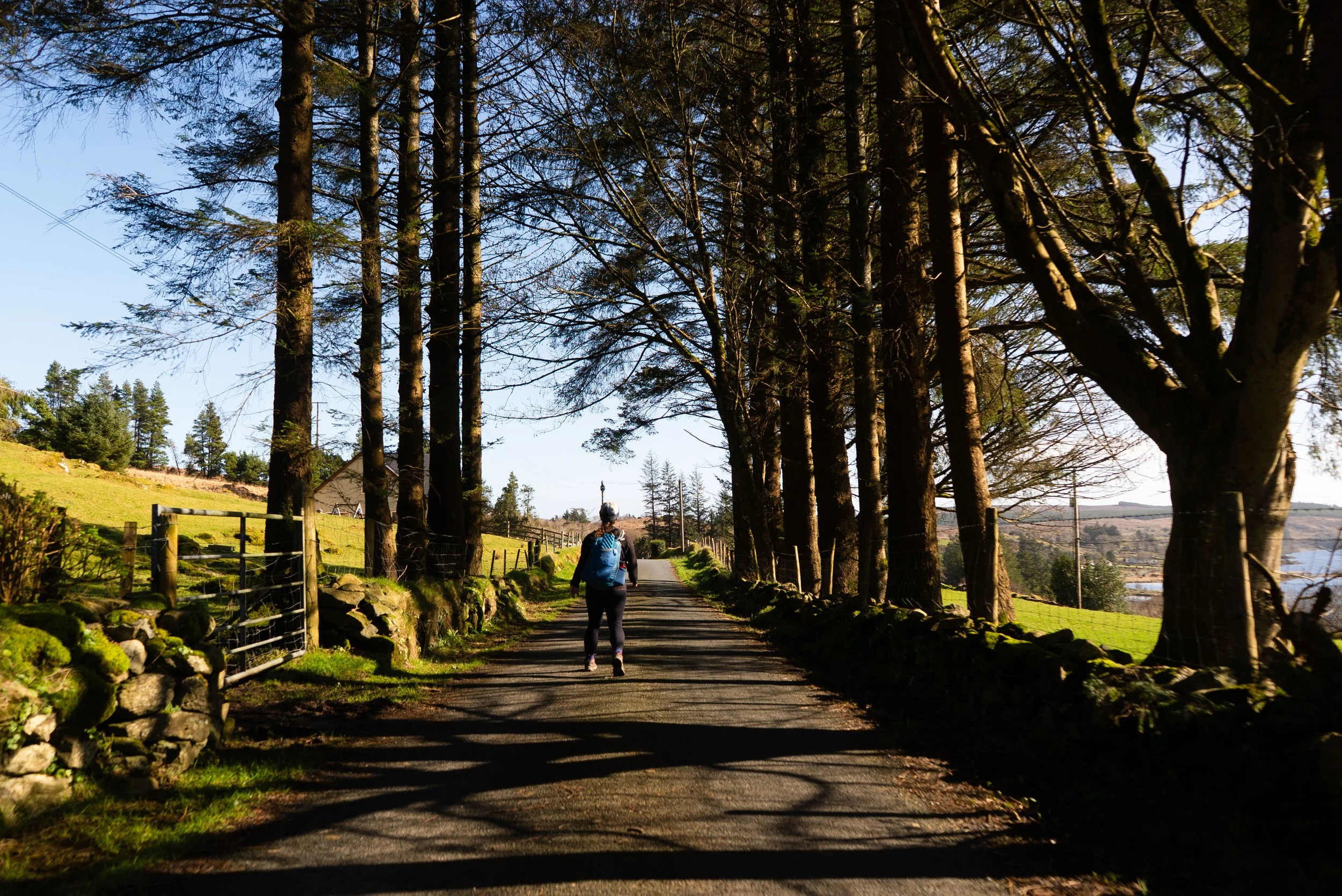
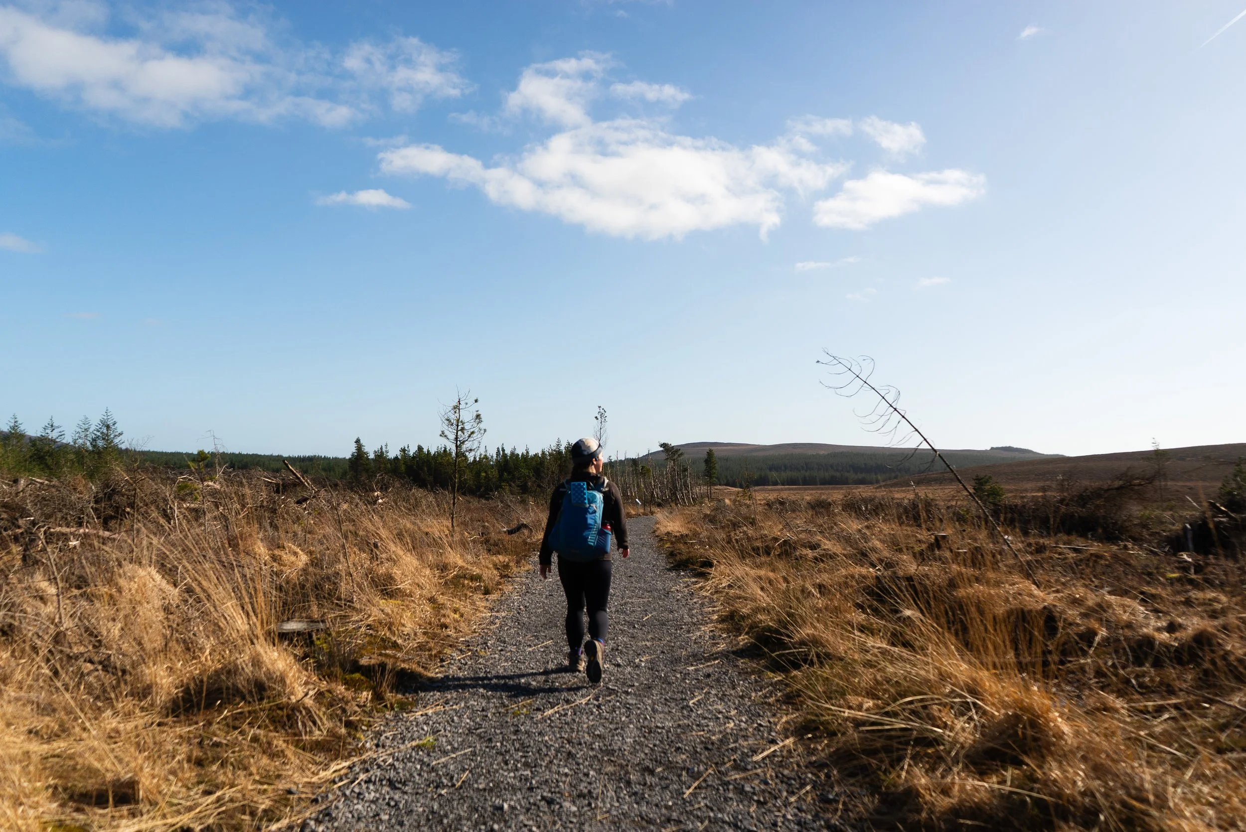
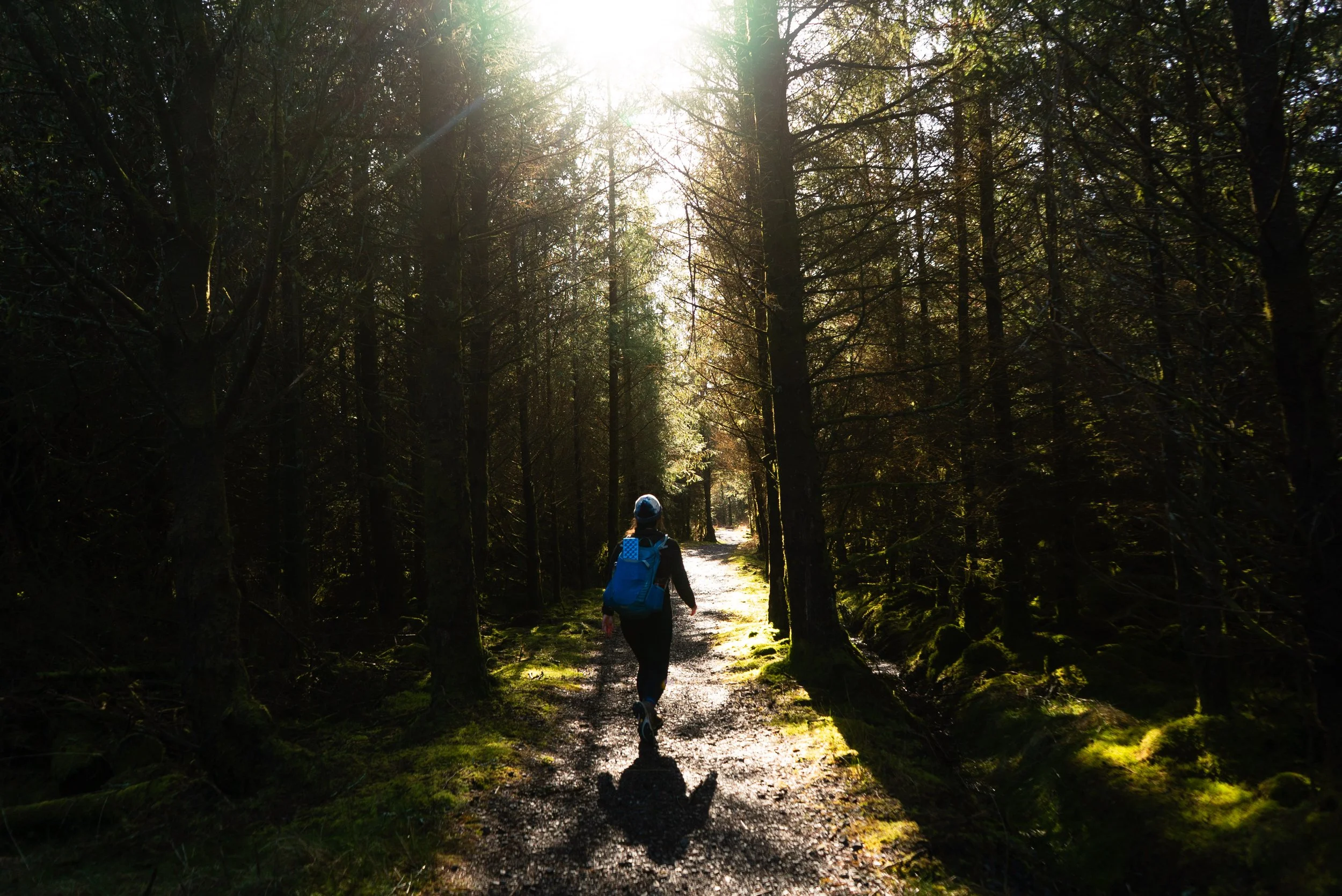
The first section of this trail is along the lakeshore. This wide track was graciously dry, but I can imagine it getting damp underfoot during other weather. This was the most popular section of the trail, and I met several other people out for a wander.
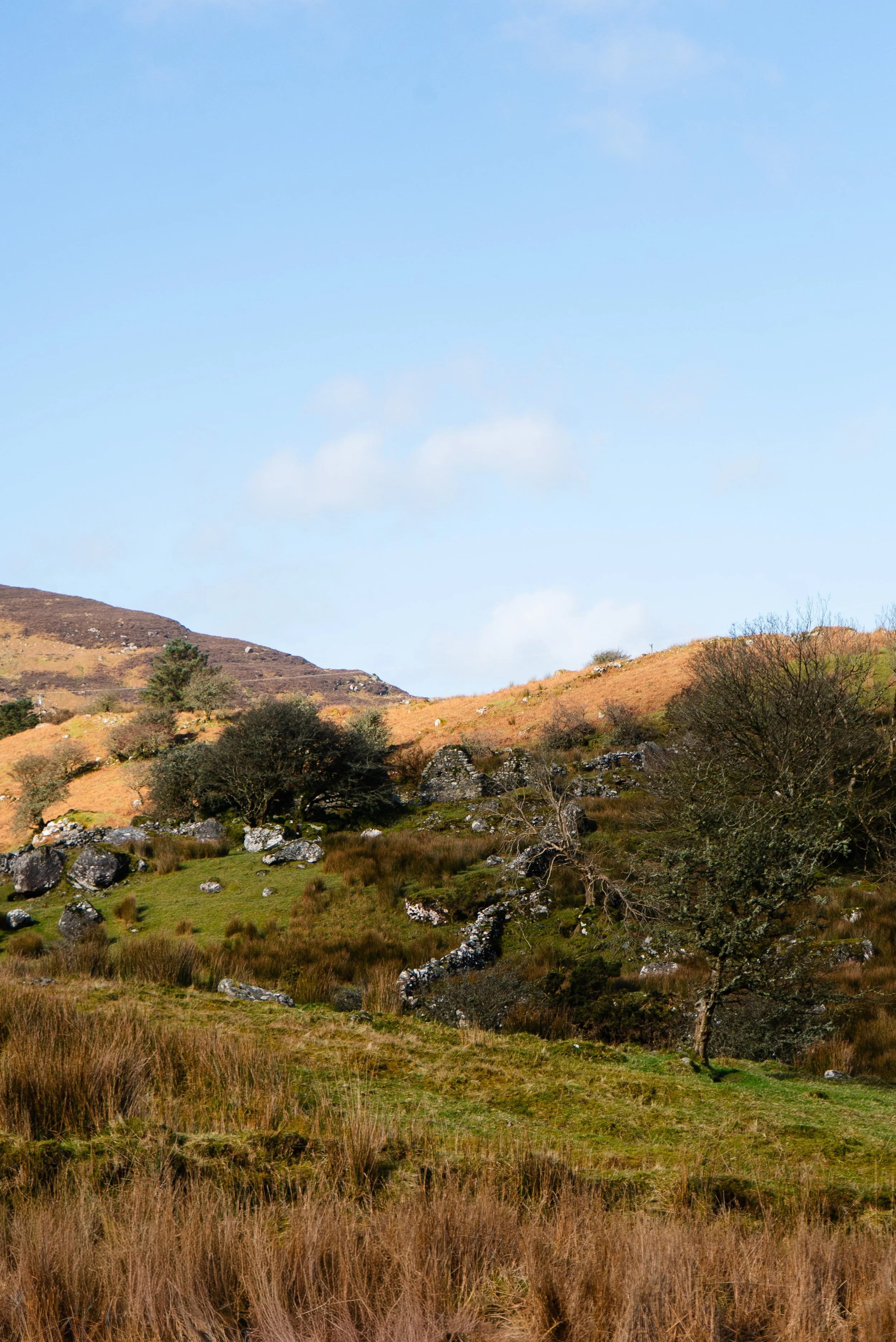
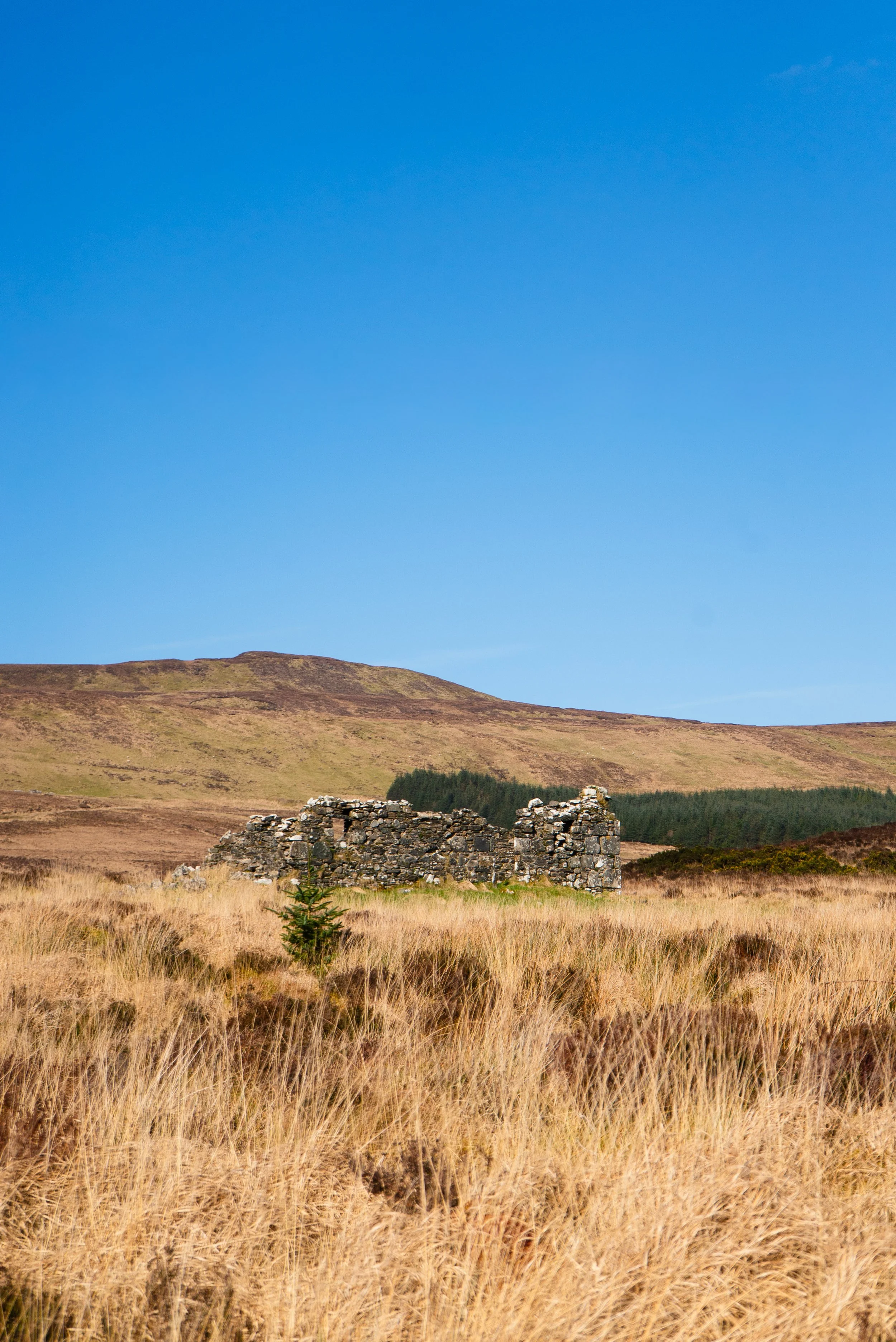
At the far end of the lake (approx. 3k), the trail then climbs up through some famine cottages, before passing more modern, lived in homes to reach the main road. As I stepped out I was mildly concerned, as this road is one of the few that bisect the Ox Mountains. However, the drivers I met were nice, and it was quite a short walk down to the church.
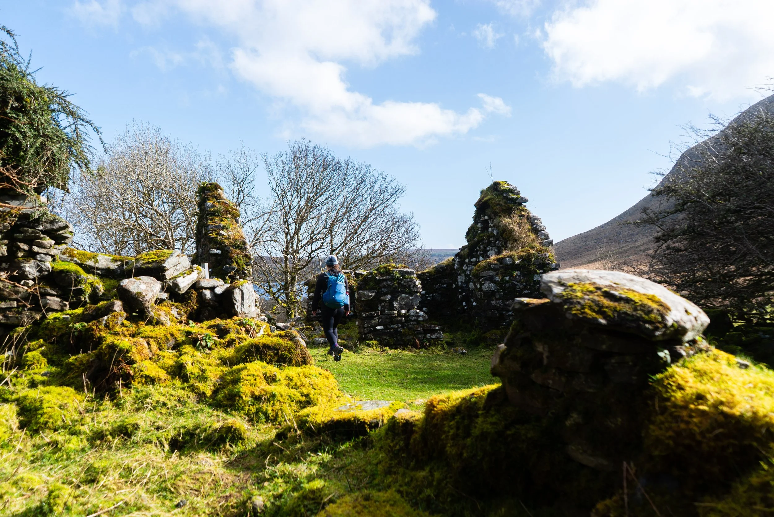
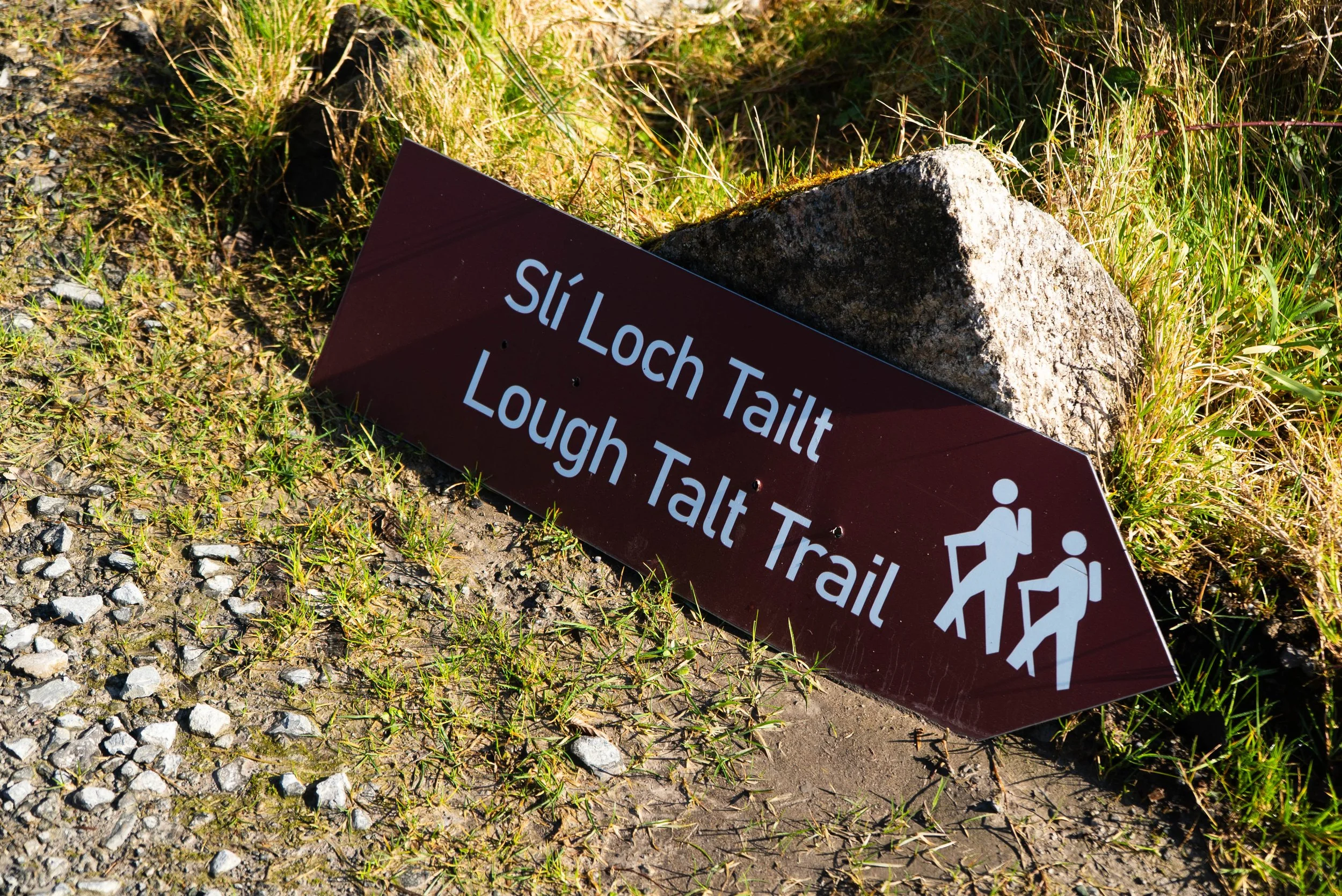
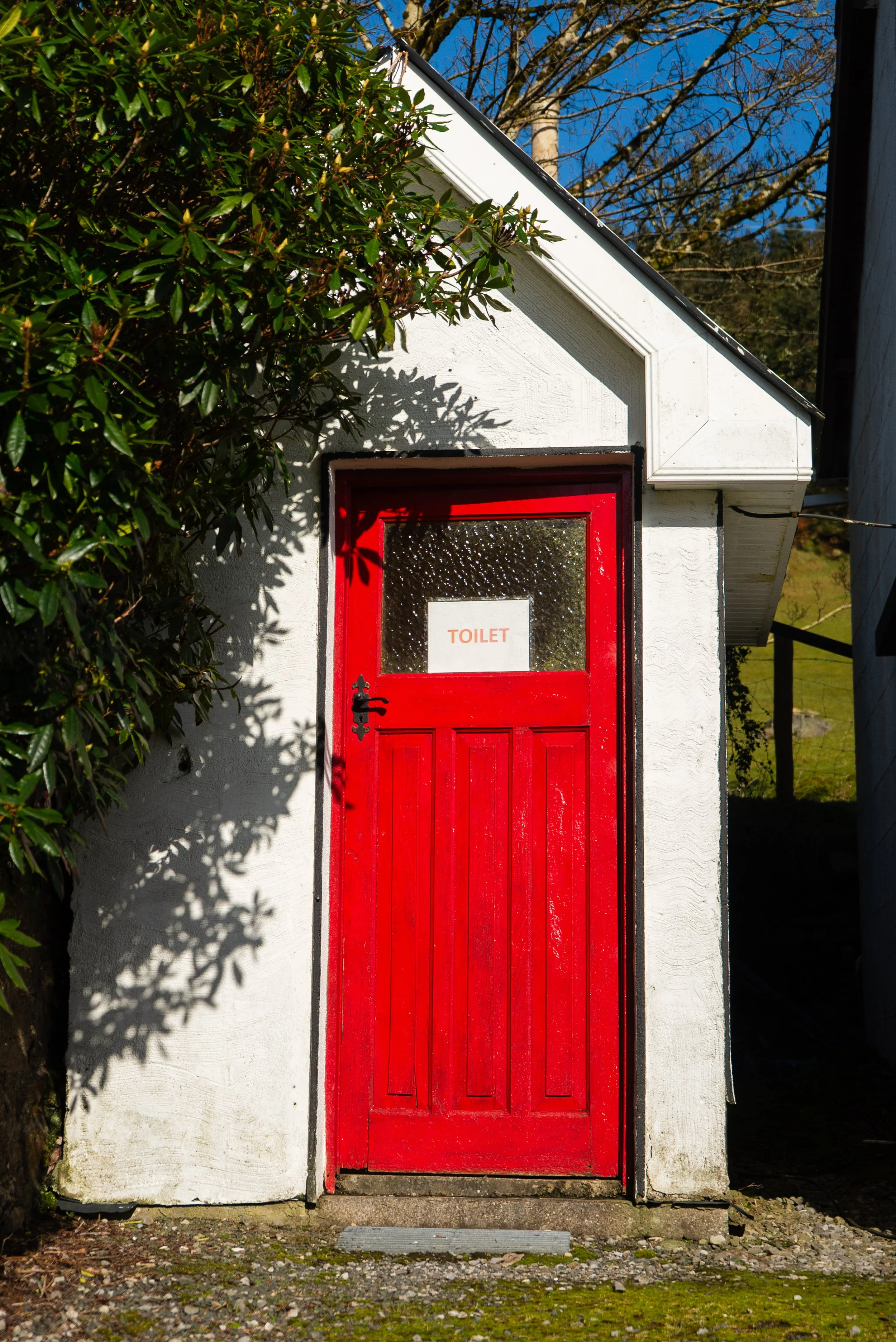
After 100m or so, the trail turns off the main road and is back onto small lanes. At the turn, there’s a wall of brown signs (brown signs being used for heritage / tourist information). This cluster of houses is the end point of the Sligo Way. Up behind the signs, there is a small white church. To the left of it, I found an open toilet, which was an incredibly welcome bit of infrastructure.
From here, our road walking stretch begins. This trail does have one small drawback: in my experience, the best trails vary their surfaces often so that you never tire of one thing underfoot. Due to the nature of the land here, this trail is very neatly divided into three sections - the lakeshore walking; the road walking; and the forest walking.
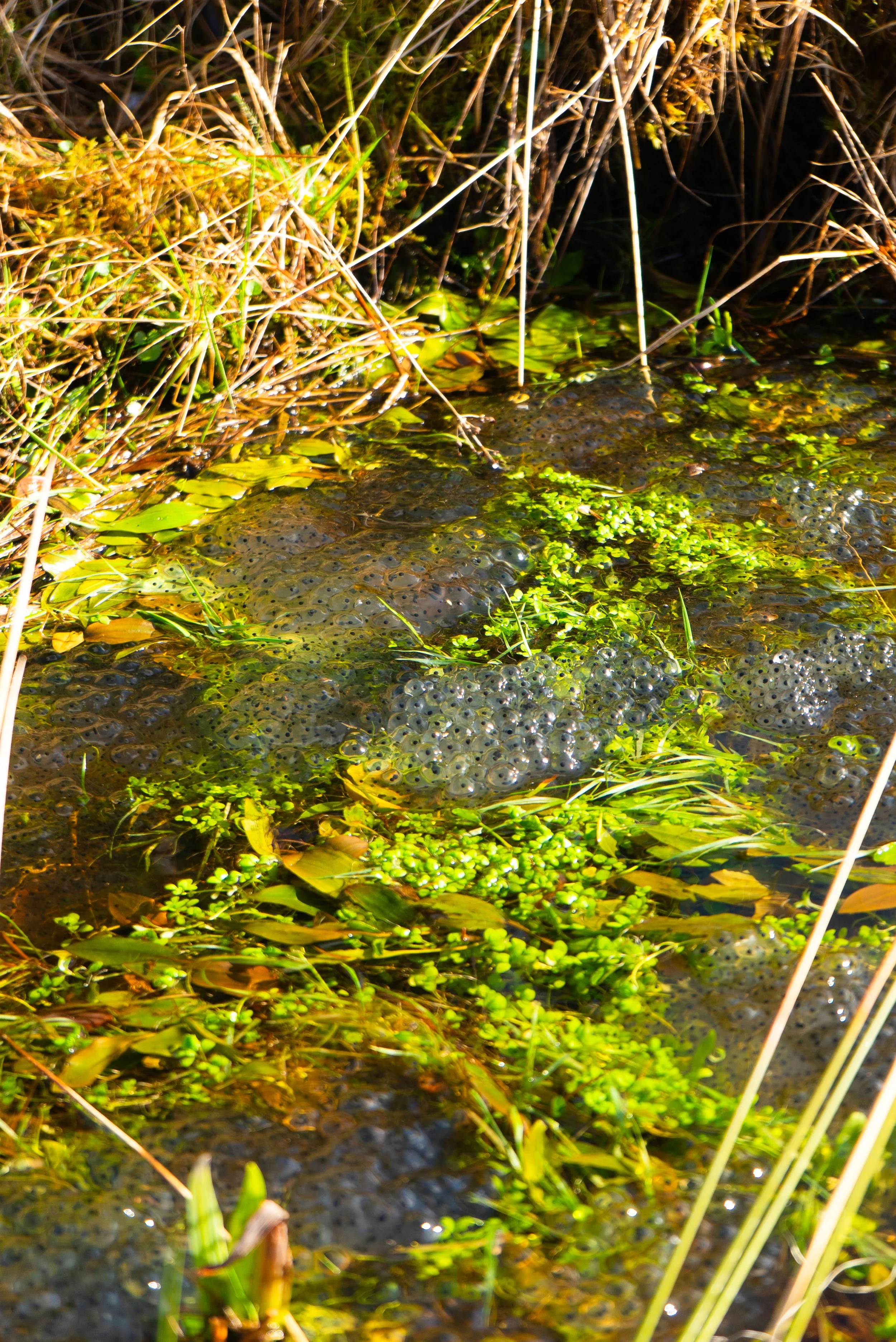
The highlight of the road walking for me was that the drain at the side of the road was absolutely filled with frog spawn. I swear, it looked like Sligo’s whole allocation of frogs were living in this very ditch.
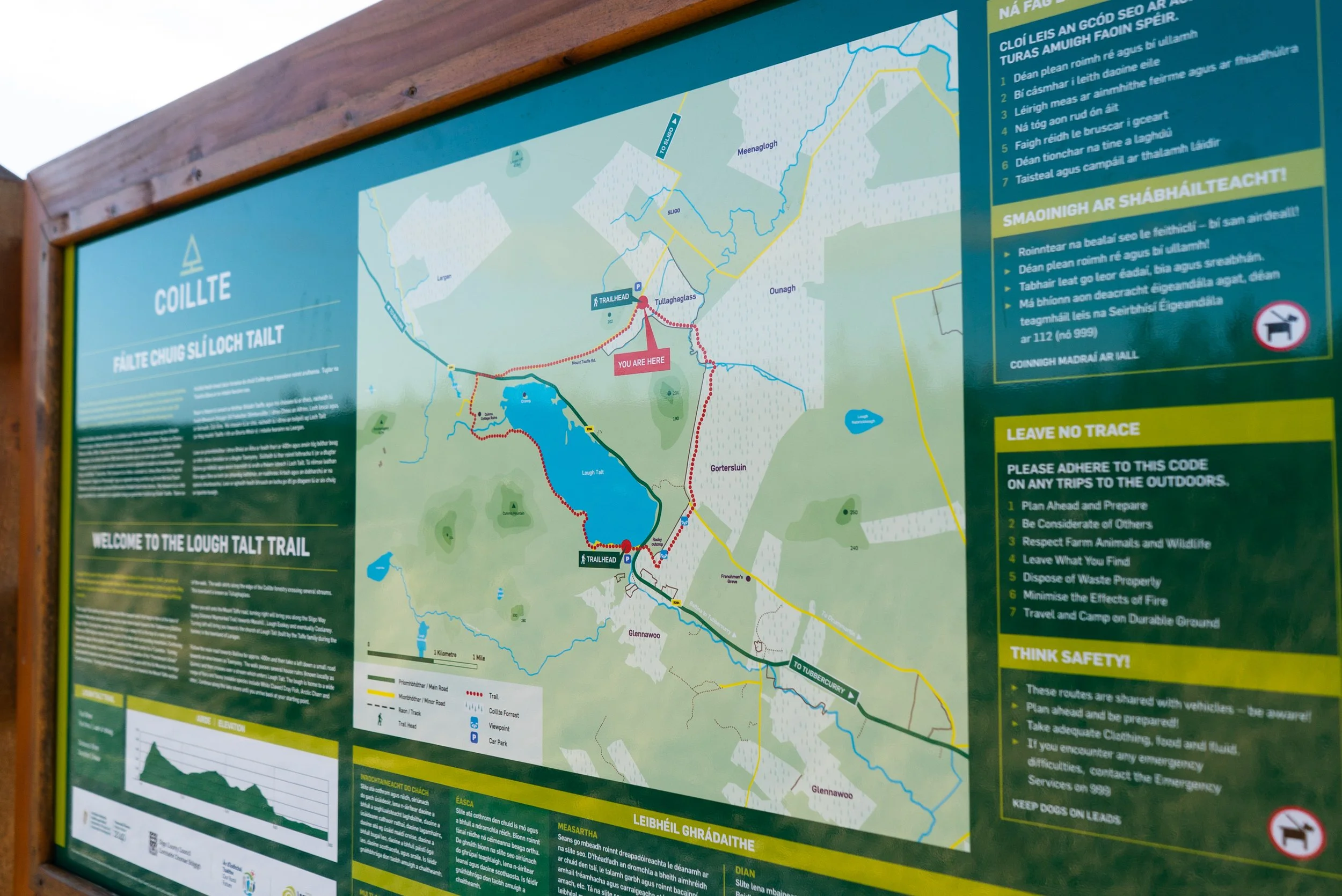
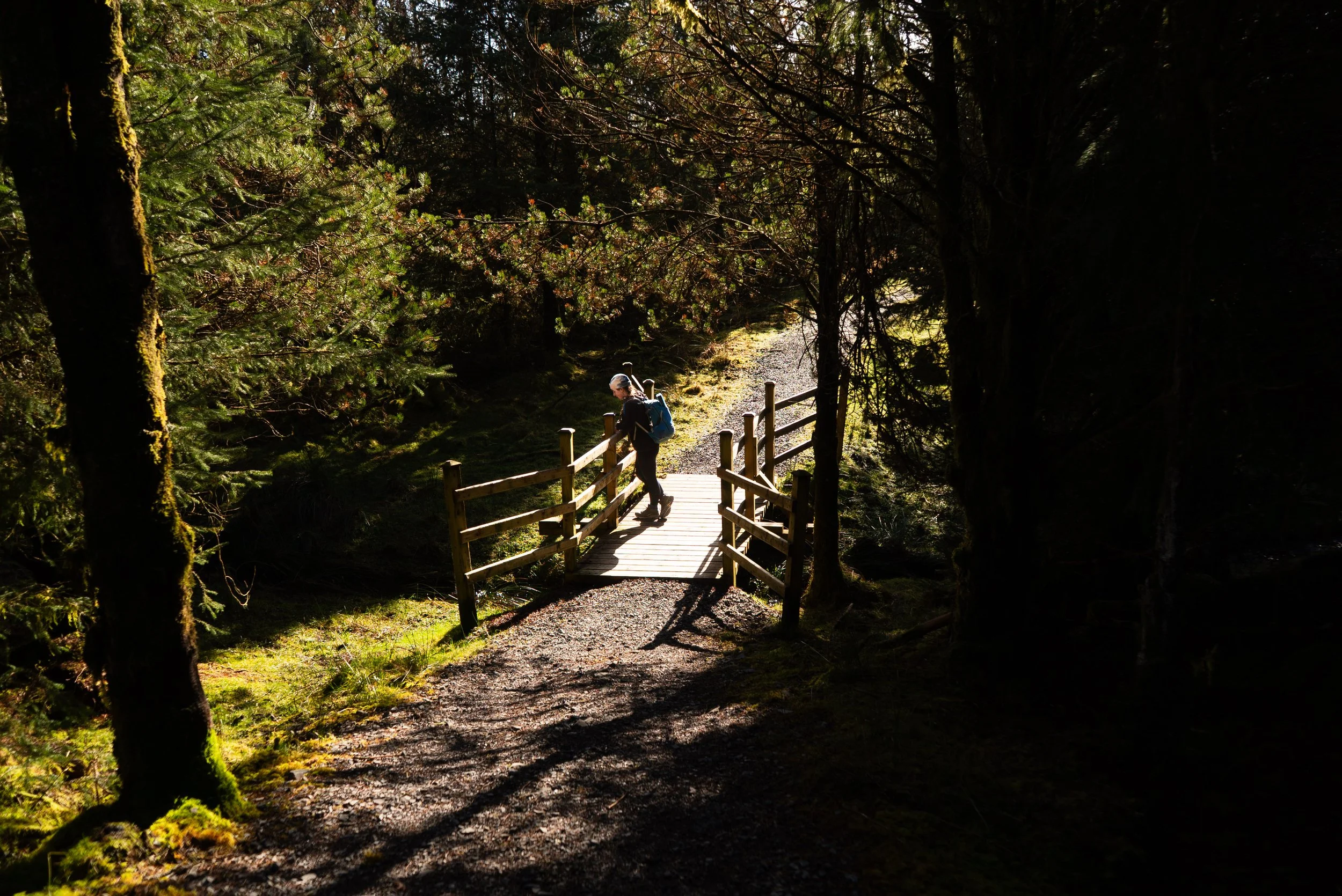
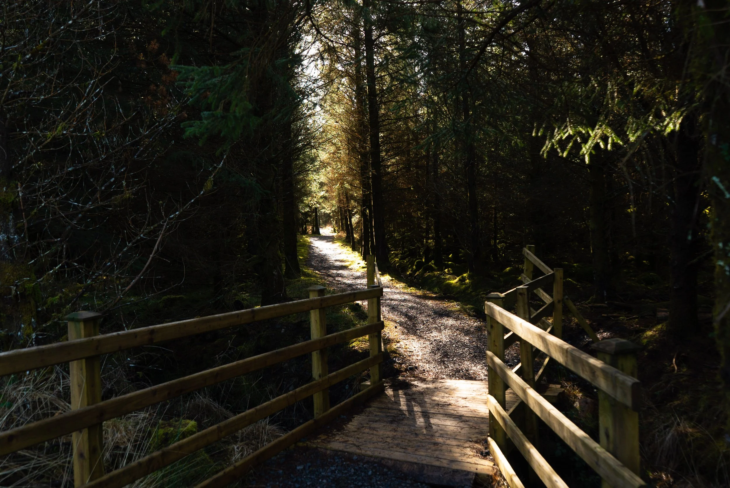
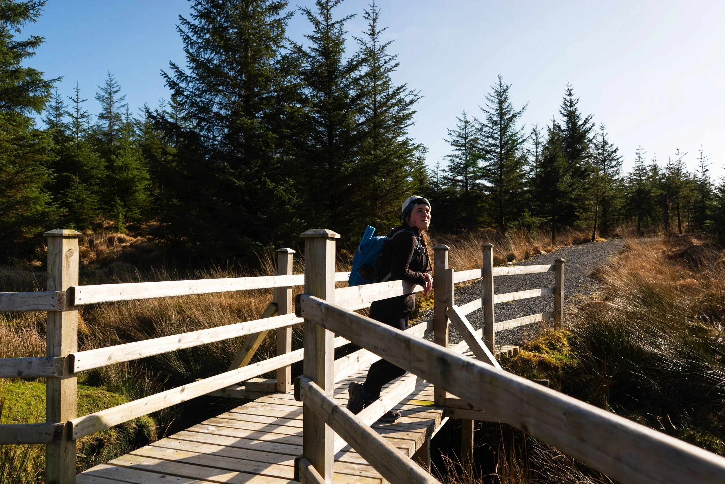
After another approx. 3km the trail turns off the small bog road and into some freshly built forest trails. There is a small car park here too, if you just wanted to go for a wander in the woods. While it is for the most part a mono-plantation, the trail infrastructure is great, with lots of lovely bridges, benches, and twisting paths.
As you approach the far end of the forest, the trail gently climbs a sloping hill. As you make it to the top, the views out over Lough Talt are gorgeous, and the picnic benches become all the more plentiful! The other side of this hill is far steeper, and so the descent is short but steep. Reaching the road, there’s one more staggered barrier to pass through, and you’re onto the main road once more. As I already mentioned above, I once again had no issues crossing, but it’s quite blind (especially if you’re walking with kids).
Overall, this was a lovely trail, and I had a gorgeous day out. More often than I’d like, I’m walking trails in bad weather, and I have to work to imagine what the trail would be like in more mild conditions to give it a fair evaluation. When I reached the end of this walk, I almost felt conflicted in the other direction. I was so excited to be out in the sunshine once more (admittedly, still wearing all my winter weight base layers), that I was just ecstatic all day.
Sligo has so many trails, I’m consistently impressed that they are still developing new ones.
Further exploring
Check out all of the trails organised by county here.
Other trails in the area:
Favourite Local Coffee / Food Options:
Nook Cafe & Restaurant, Collooney (great vegan options)
Rover Coffee Lab, Sligo (Coffee)