
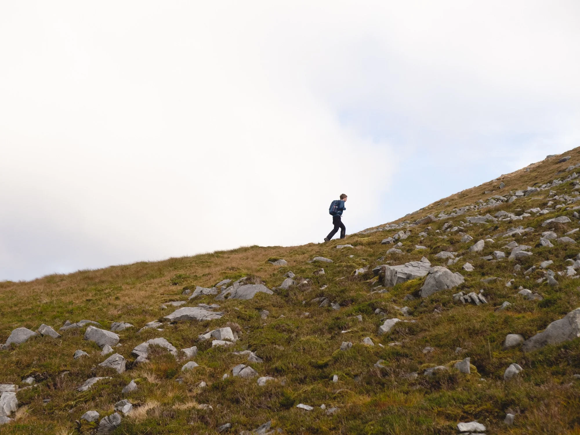
Sligo is an incredible county for hiking - if you’re looking to get outdoors and explore, the north-west is consistently underrated. Today, I’m sharing 16 walks and hikes around Sligo that I’ve really enjoyed, and why I think you’ll like them too.
These hikes are divided into the kind of area they traverse (eg. coastal or forest), and within that are listed from easier to harder. Have I missed somewhere? Let me know!
Coastal Walks
1. Raghly Loop
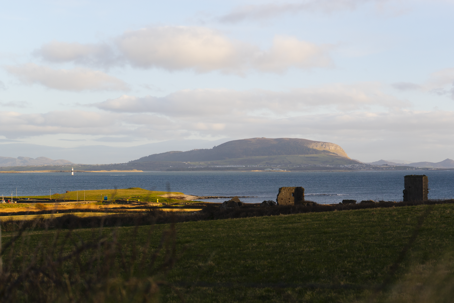
The Raghly Loop is a lovely place to head for a sunset walk. With stunning views of the Sligo coastline, this modest trail is a lovely place to relax away from busier areas. This trail is very accessible - underfoot it is either a well maintained gravel path, or old laneways.
Distance: 3.6km
Format: Looped Trail
Time: 30 - 90 minutes
Who is it for: someone looking for a gentle walk with nice views and sit spots along the way
read the full write-up here | watch the video | find the GPX on HiiKER
2. Aughris Head
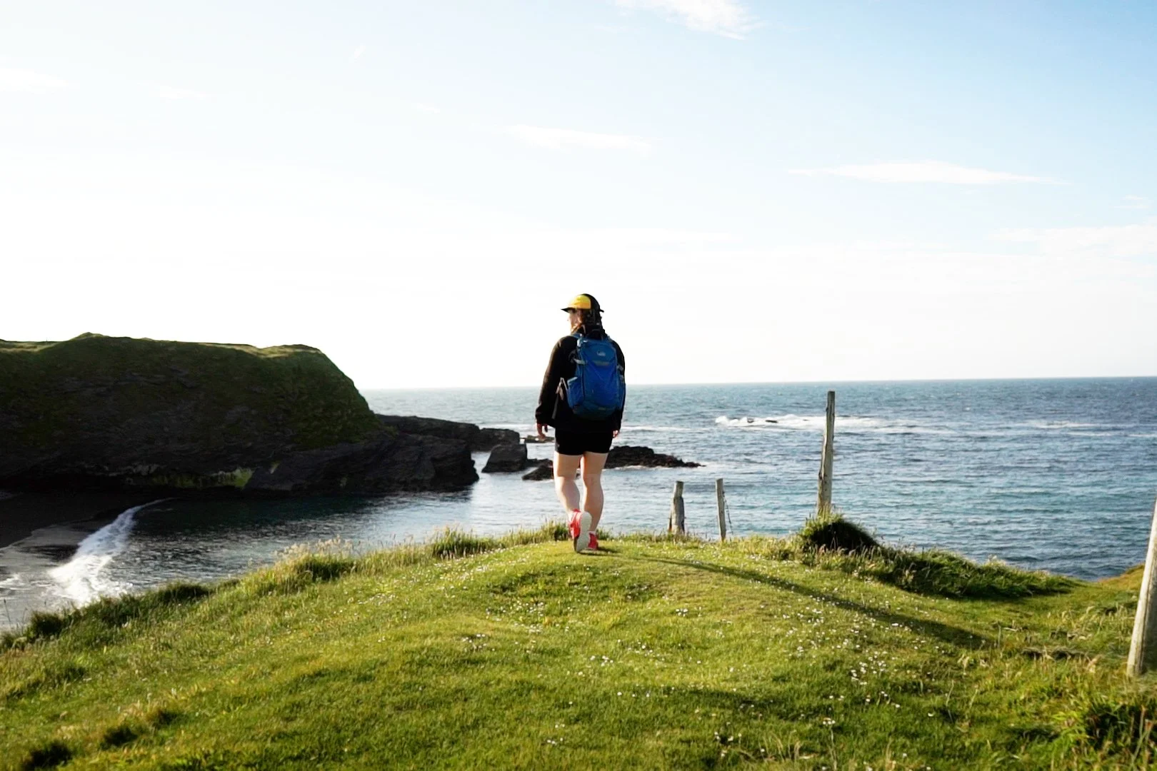
The Aughris Coastal Walk is a lovely 4km looped trail accessible for all the family. Take in the history of the small headland through the many inboards they have installed along the trail - covering promontory forts, WWII lookout posts, holy wells, and the surrounding mountains. The trail is well kept and waymarked, with no climbs or descents. There are a few kissing gates along the way, so not suitable for buggies or wheelchairs.
Distance: 4km
Format: Looped
Time: 45mins - 90mins (depending on route, fitness, and how long you want to take in the views)
Who is this trail for: History enthusiasts or anyone looking for a gentle stroll.
read the full write-up here | watch the video | find the GPX on HiiKER
3. Killaspugbrone Coastal Loop
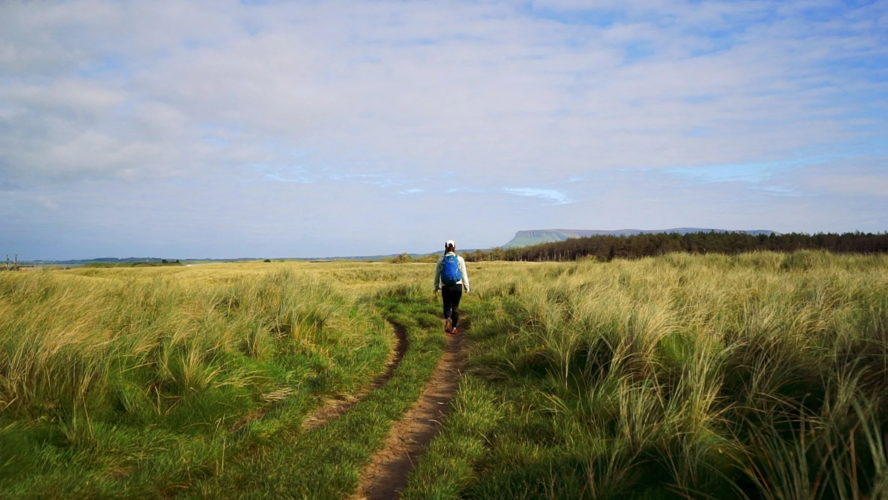
Killaspugbrone Loop is easy to miss when standing on the busy footpaths of Strandhill. But spy the tidy infoboard, follow the purple arrows, and you’ll find yourself wandering along a rocky shore with small planes swooping overhead. Find the ruins of a centuries old church and learn the strange folklore of St. Patrick’s visit to the area.
While the trail is fairly flat as it is a headland loop, the ground underfoot can be quite uneven and broken along some of the rocky beach sections.
Distance: 7km
Format: Looped trail
Time: 1.5 - 2hrs
Who is it for: anyone wanting to stretch their legs along the coast. The trail is easy, but a little rougher underfoot. Possibly a good one for any plane enthusiasts as the trail curtails the bottom of Sligo Airport runway, offering fantastic views.
read the full write-up here | watch the video | find the GPX on HiiKER
Forest Walks
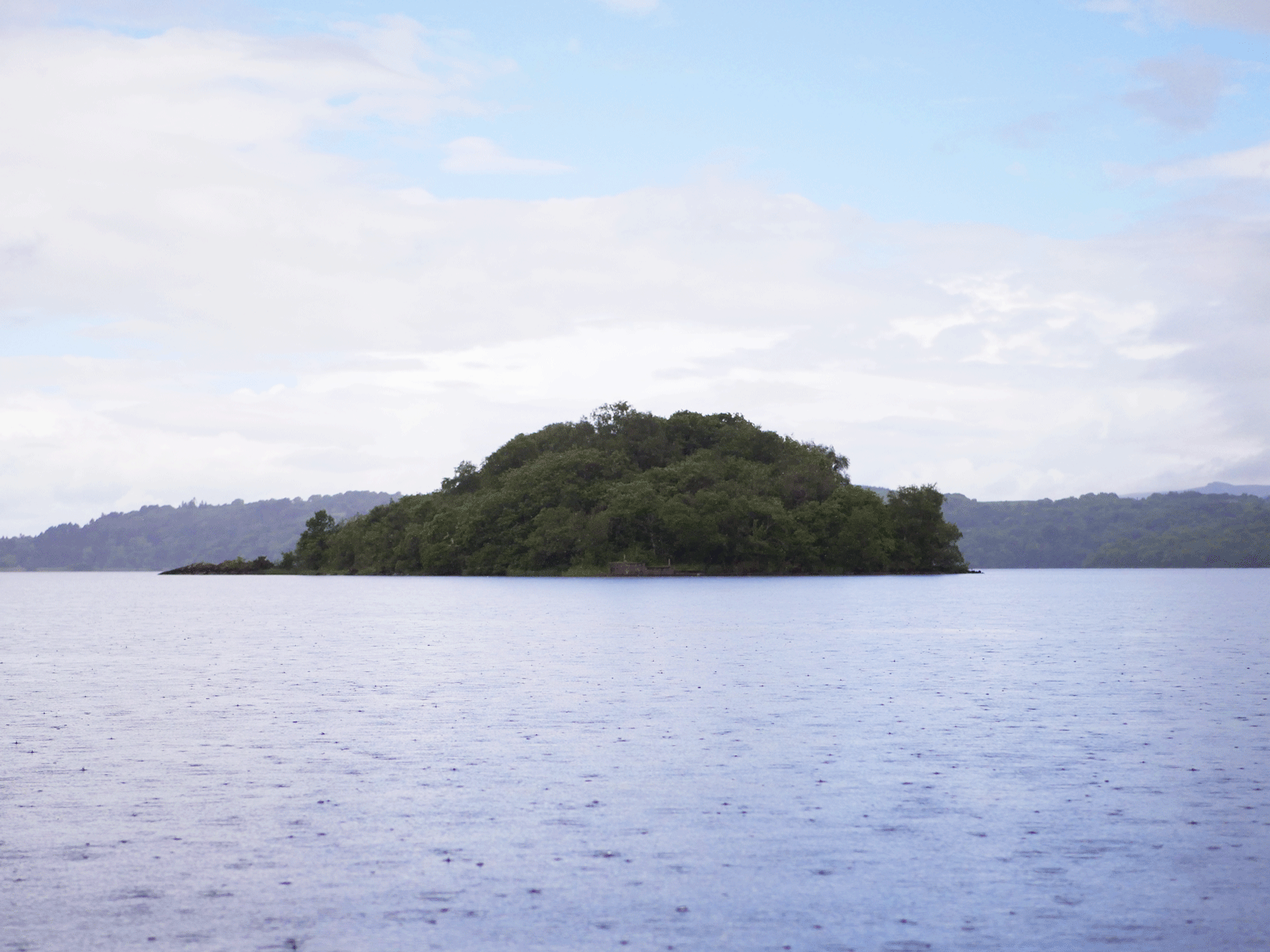
4. Hazelwood
Hazelwood is a gorgeous woodland just outside of Sligo town. The forest is on a headland that juts out into the lake of Lough Gill, and so as the trails gently meander, viewpoints and follies emerge from the foliage around every bend. As it’s close to Sligo I often meet other people there, but I still find it peaceful.
Distance: 3km
Format: looped trails
Time: 45mins - 90 mins
Who is it for: those looking for a gentle stroll through mixed woodland. Great for families - and a nice spot for birders, as I heard quite a few on my last visit.
read more details on Sligo Walks | download the Coillte Map | find the route on HiiKER
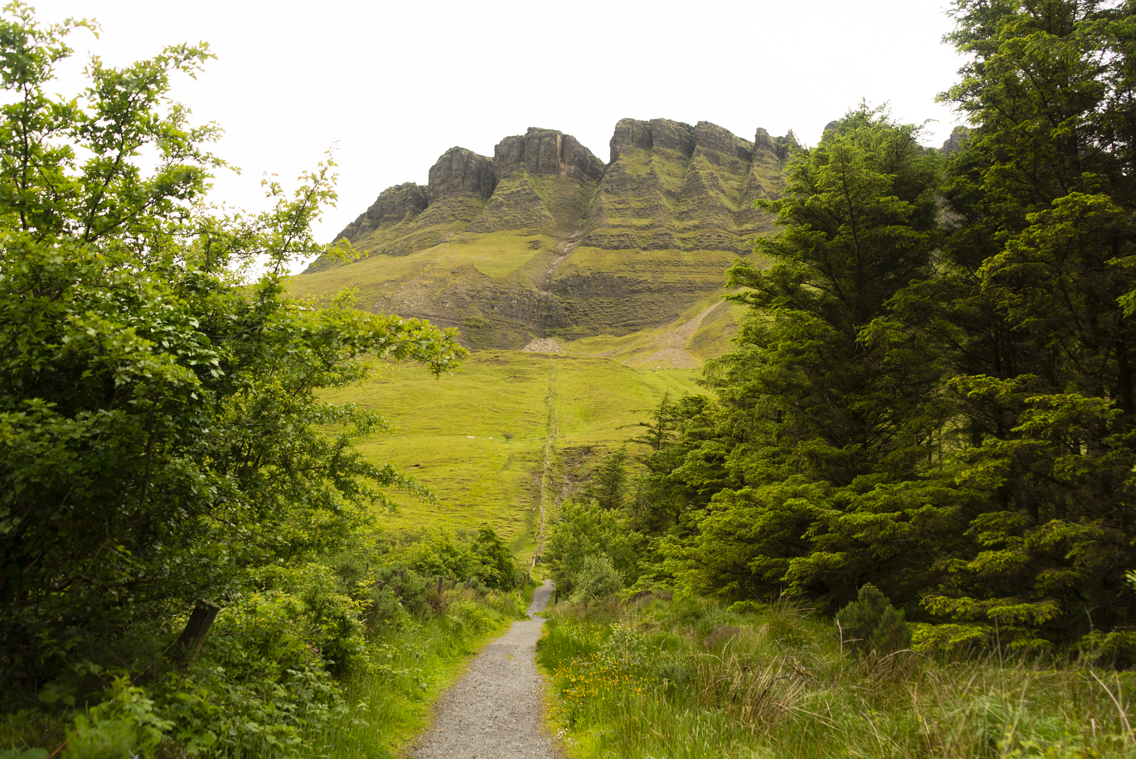
5. Benbulben Forest Walk
Benbulben is one of Ireland’s most distinctive mountains, surrounded by cliffs and ringed in mythology. This forest walk is a family friendly trail that gives you the best views you can get of this peak. With three different route options, you can go as far as you like, with get vantage points over to Donegal. The two highlight sections for me were the very northern corner for views of the cliffs, and the twisting trail through the southern edge of the mixed woodland.
Distance: 6km
Format: Looped trails
Time: 1 - 2 hrs (depending on route and fitness)
Who is this trail for: those who want to see the incredible cliffs that Benbulben is famous for, without having to scale the mountain itself. All of the routes are gravel trails, with benches spaced out around the forest.
read the full write-up here | watch the video | find the GPX on HiiKER
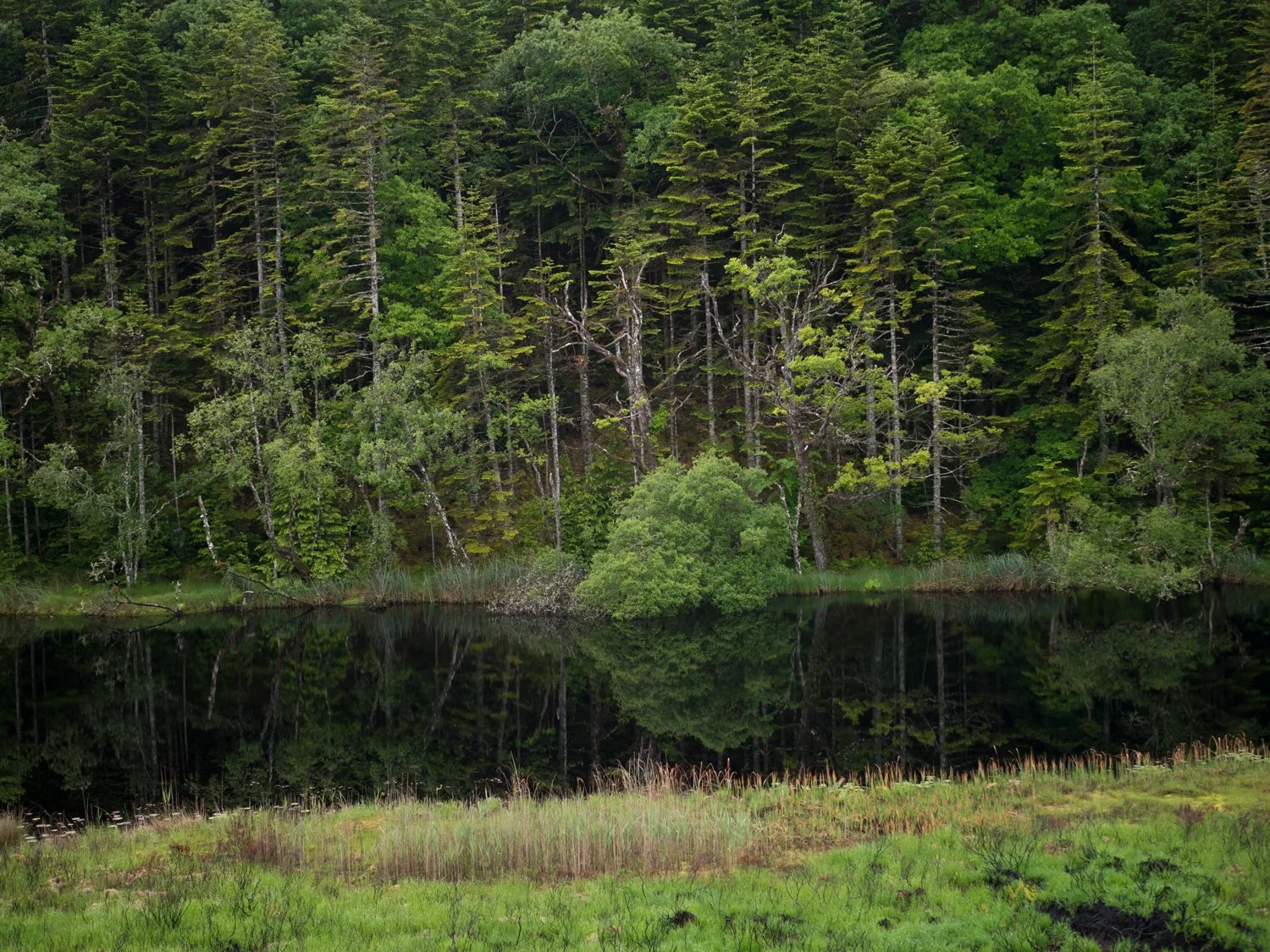
6. Slish Wood
Across the lake from Hazelwood you’ll find Slish Wood, hugging the shoreline and climbing up onto the hills behind it. There are two options here - you can complete the forest loop (4km), or continue on along the lakeside and onto boardwalk to the Isle of Innisfree Jetty (8km out and back). Another lovely lakeshore stroll, this is the first of the forest walks with a climb (if taking in the upper trail of the 4km loop). Personally, I would walk out the whole way to the Jetty as the boardwalk section just after the forest is lovely as it crisscrosses the hillside above the lake.
Distance: 4 - 8km
Format: 4km looped; 8km out and back (can incorporate the loop of the 4km on the way back).
Time: 1hr - 3 hrs
Who’s it for: By sticking to the lower paths this is still a very approachable trail for all fitness levels. If you are looking to incorporate slightly more challenging or heart-raising sections, you can take in the top loop and the further boardwalk while still being on accessible terrain.
read more on the Sligo Walks website | download the Coillte Map | find the route on HiiKER
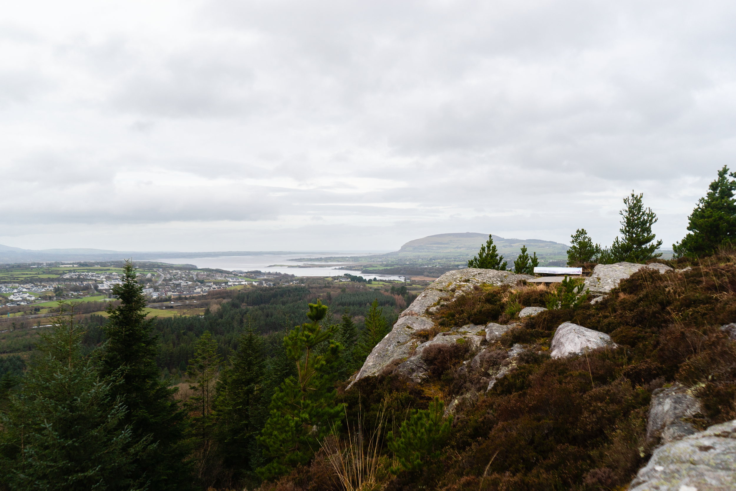
7. Union Wood
Union Wood is a small forest that sits between the villages of Collooney, Ballysadare, and Ballygawley, with a mixture of old native woodland, and more recent active forestry. This place is teeming with wildlife - as well as walkers, cyclists, families and trail runners. With trails from 4 - 12km, in this woods you’ll find a trail for everyone.
Distance: varies by trail, average 5km
Format: Looped
Time: 1 - 3 hrs, depending on route, fitness, and how often you stop to take in the views.
However, I quite liked how the info board at the main car park answered this question: Union wood is a place you can easily spend a half day in, so we won’t tell you how long each trail takes. That will be up to you, your level of fitness, or how soon you want to go home.Who is this for: there are trails here for nearly everyone, whether on pedal or foot. Stay to the low trails if you’re looking for a gentle walk, or head up to lough Loman if you’re looking for a more energetic hike. It is somewhere that is always busy no matter the day of the week, so not for someone seeking solitude.
read the full write-up here | watch the video | find the GPX on HiiKER
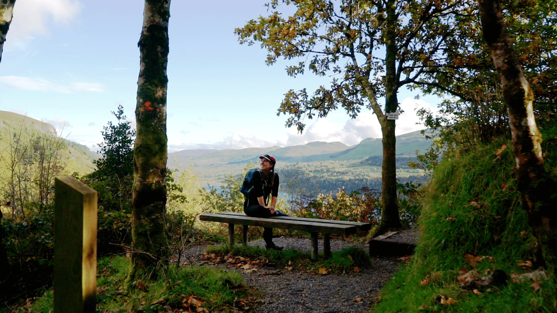
8. Devil’s Chimney
The Devil’s Chimney name in Irish is Sruth in Aghaidh An Aird, which roughly translates as “stream against the height”. The Irish name reflects the fact that when a strong southerly wind blows, the water can sometimes be blown back up over the cliff-face, looking like its defying gravity.
The hills in this area are known as the Dartry’s. The most famous of their peaks is Benbulben, a table-top mountain of cliffs and a plateau summit. However, Benbulben isn’t the only visually striking hill in the range. So many of these hills undulate in ways you would never expect, making them look far more lofty than they are. In true Dartry style, this trail is short but steep, twisting and turning with the erratic flow of the land.
Distance: 2.5 km
Format: Out-and-back / Looped
Time: 30mins - 90mins
Who is this for: if you love a waterfall and twisting forest trails, and are looking for somewhere more peaceful than Glencar Waterfall further up the valley, this is for you.
read the full write-up here | watch the video | find the GPX on HiiKER
Upland Walks
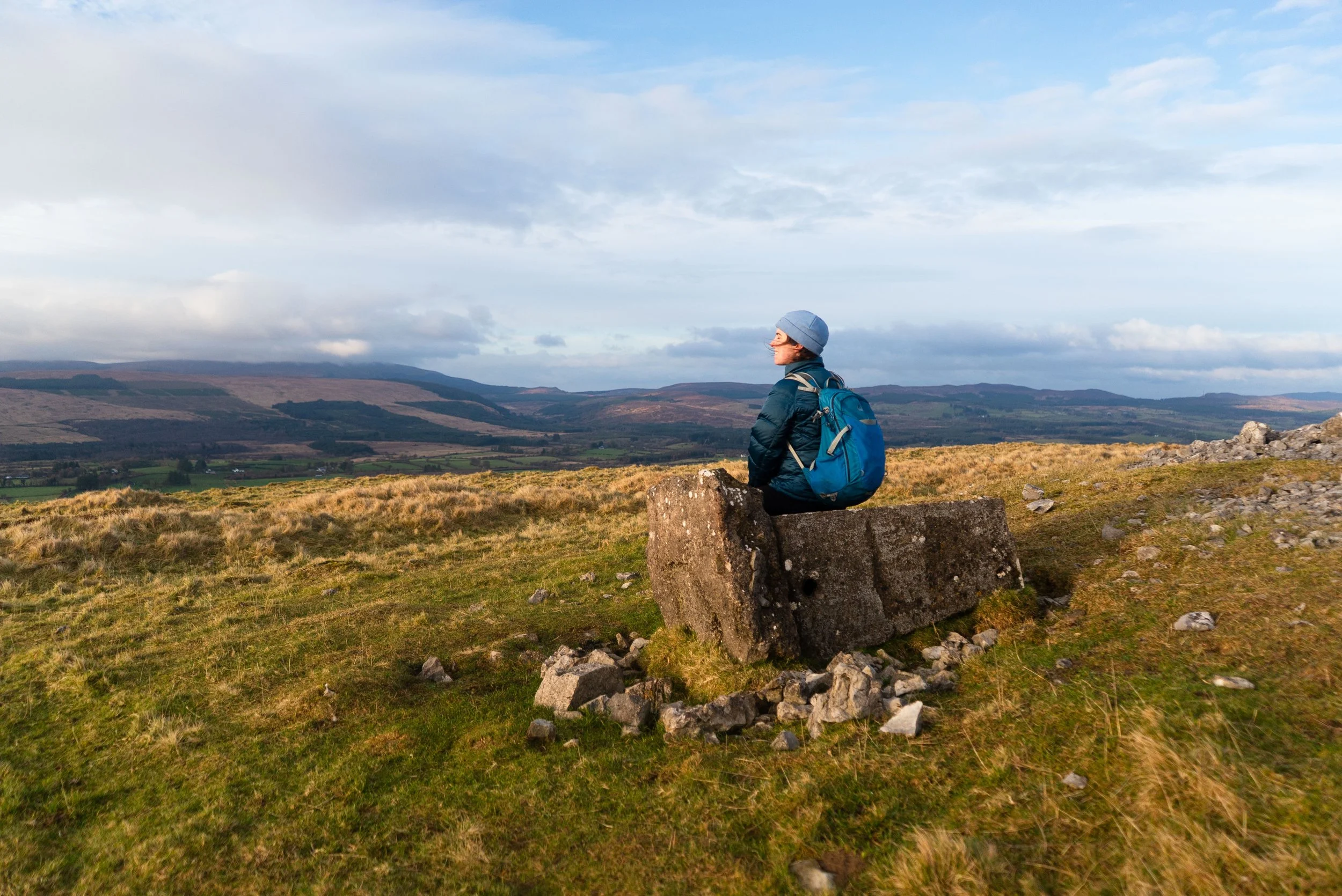
9. Knocknashee
Knocknashee is a small hill in the middle of Sligo and the eastern edge of the Ox Mountains. This local walk highlights the great places you can find in your own back yard.
Distance: 2km round trip
Elevation gain: 100m
Format: Out and back
Time: 30 - 90 mins
Who is this for: a short walk, this is for someone looking for a quiet place to enjoy an evening stroll, taking in the views of the undulating terrain of Sligo. The climb is not long but it is steep, and so highlights an unusual tightrope of suiting a walker with good knees, but also someone not looking for a long or serious hike. Might be an enjoyable outing for families.
read the full write-up here | watch the video | find the GPX on HiiKER
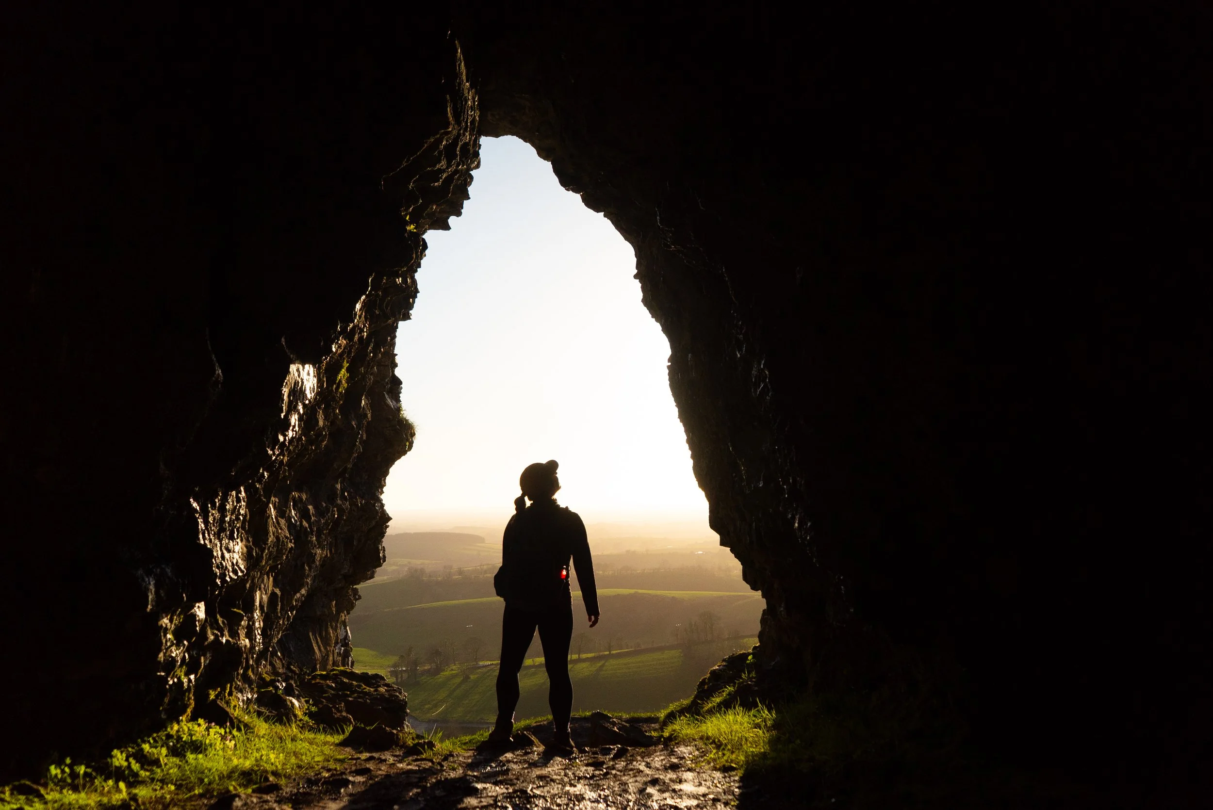
10. Caves of Kesh
The Caves of Kesh feel otherworldly, and yet are just a hop skip and a jump up the hillside. While the trail up is vert steep, it’s approx. 750m from the car park to the caves. As you climb, it feels like you’re not making any progress - until suddenly it levels out after a few switchbacks, and gently rolls towards the entrance to the largest of the caves. Once up, the paths linking the different caves are a little narrow and muddy, so I always wear boots when stopping by.
Distance:1.5km - 3km (depending on how much wandering you do between the caves).
Format: Out and back
Time: 20 mins - 60 mins
Who’s it for: The caves are a great add-on to a day trip to the area. I personally really like visiting for sunset, as the views and light is gorgeous. I think they will be most appreciated by those who love history and folklore, but are an enjoyable exploration for everyone, as long as you’re happy getting your shoes muddy.
read the full write-up here | watch the video | find the route on HiiKER
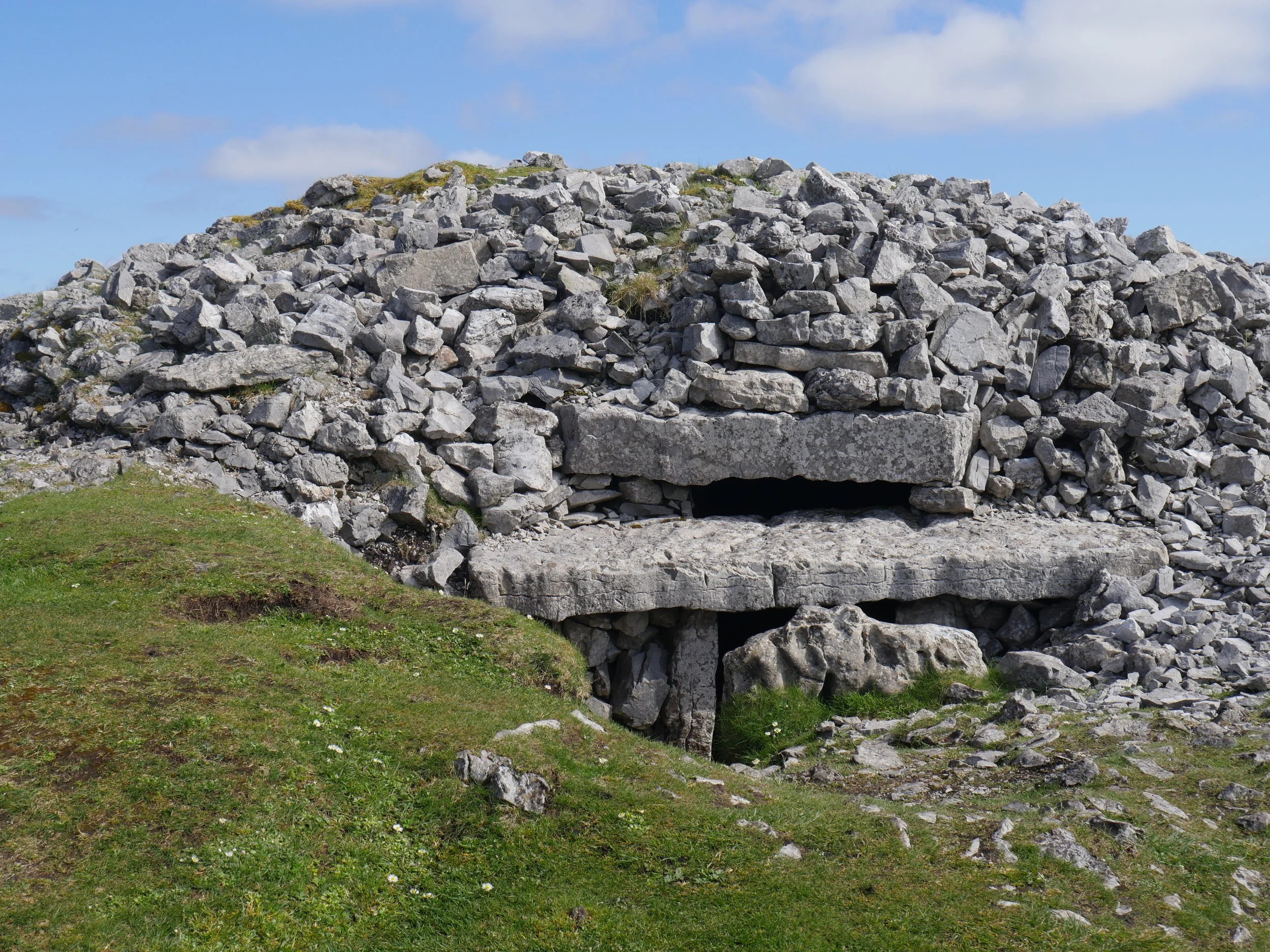
11. Carrowkeel
Somewhere that I usually refer to as being part of Roscommon, the Carrowkeel megalithic complex of tombs is actually on the Sligo side of the border, and offer great views of the surrounding hills, lakes and farmland. The valley is sharply U-shaped, offering surprisingly hilly-feeling terrain for somewhere less than 300m tall.
Distance: 5km
Format: out and back
Time: 1 - 2 hrs
Who’s this for: History and archeology fans will find the many tombs spread across the two hilltops incredible - while walkers will appreciate the uniqueness of the valley and the wild boggy hillsides. By following the Miner’s Way signage (mentioned more below), you can explore a bit more of the surrounding area.
read the Miner’s Way write-up here | watch the video | Read more on the Sligo Walks website
12. Lough Talt Loop
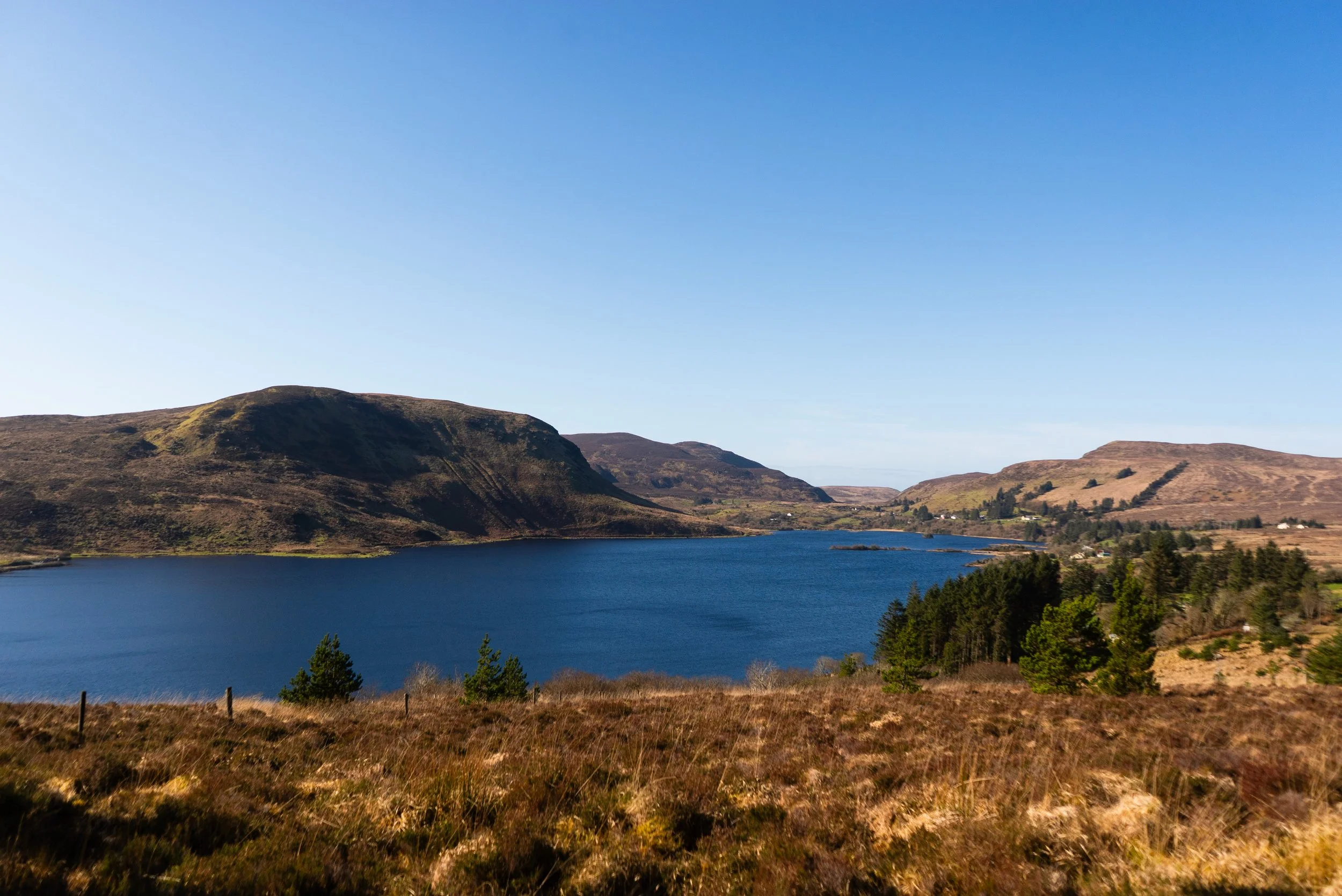
Nestled in the Ox Mountains, the Lough Talt Loop channels the desolateness of the west of Ireland. Taking in grassy lakeside paths, old roads, and gravel forest trails, there is a lot of variety on this newly developed trail.
Distance: 8km round trip
Elevation gain: 100m
Format: looped
Time: 2 - 3 hours
Who is this for: a quiet corner of the north-west, this trail is for those looking for some solitude. The trail is a long-feeling 8km, so it’s not a short wander.
read the full write-up here | watch the video | read more on the Sligo Walks website
13. Knocknarea
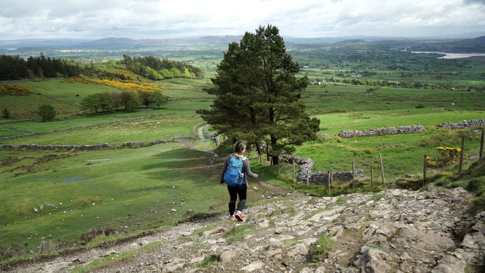
Knocknarea is one of Sligo’s most iconic peaks. Sitting on the south-west corner of the bay containing Sligo Town, this hill is small but mighty. While there have been walking routes around and across Knocknarea for years, it was in 2015 when the current trails were put in place. The route is now known as Queen Maeve’s Trail; named after the legend that the huge cairn and tomb on the summit of the hill is her resting place.
Distance: 8km
Format: Looped
Time: 2 - 3hrs
Who’s it for: I’ve walked and run this route several times since moving to the North-West of Ireland, and it’s still one of my favourite spots to go for a couple of hours of energetic walking. Depending on how challenging an outing you’d like, you can pick different car parks and trails
14. Truskmore
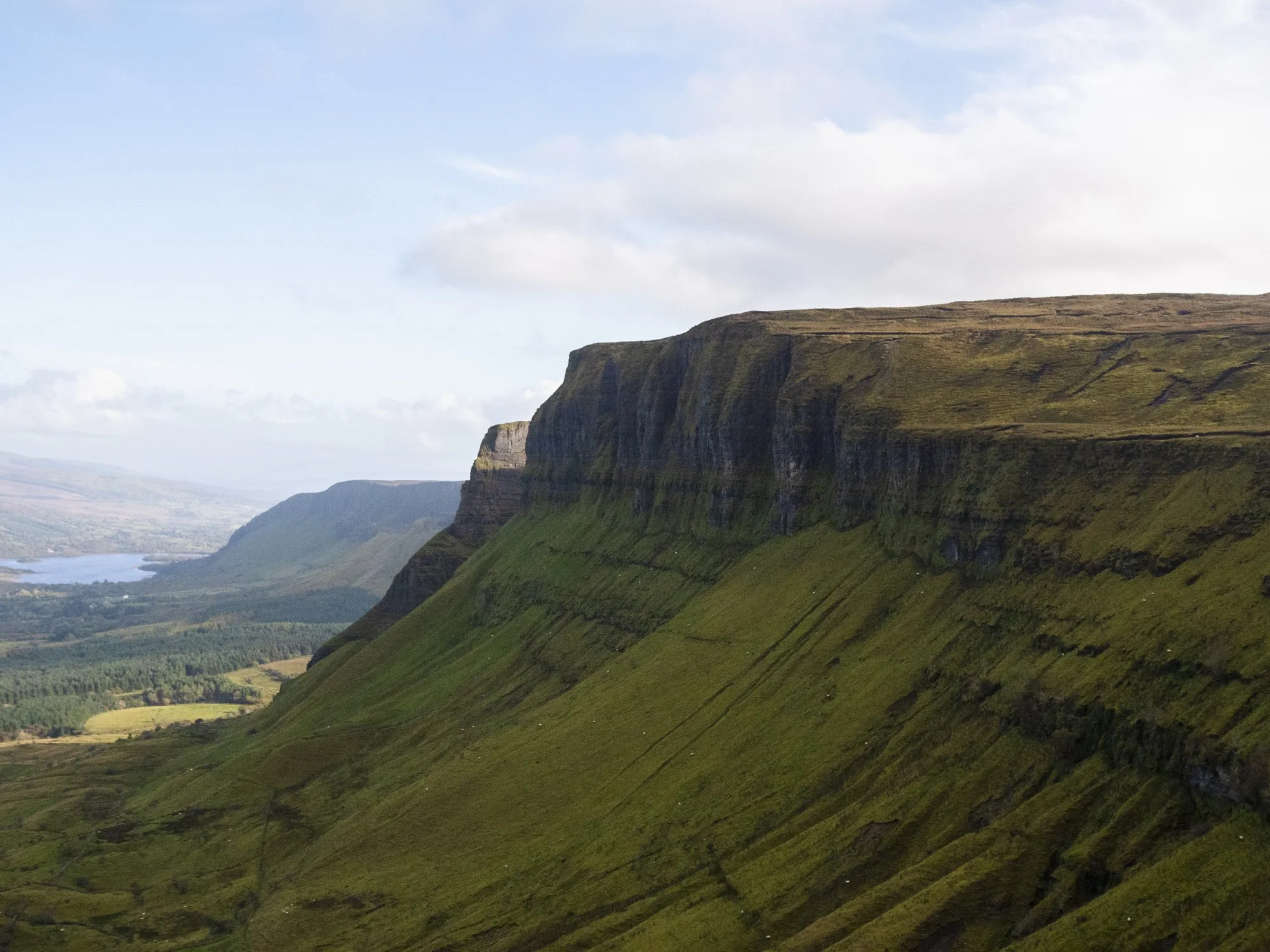
Truskmore is the County High Point of Sligo and Leitrim, and is the highest point in the Dartry Mountains. This lovely peak is part of the same plateau range that is home to the more famous mountain, Benbulben - which will hopefully conjure up the right mental image of cliffs and dramatic sweeping landscapes that this small mountain is nestled within.
Distance: 10km
Difficulty: Easy - Moderate
If you follow the mast road up to the summit of Truskmore, it is an easy route.
If you follow the route that we describe, it is a moderate hike. The trail up onto the plateau is distinct, however once up onto the main plateau, there is no trail to follow, and involves some bog navigating.
Learn more about trail and hillwalking grading here.Who’s it for: if not using the mast road, then this is a hike and requires some hill experience and knowledge of how to use a map. The Dartry’s are stunning hills, and are less travelled than many other ranges in Ireland, so there are few worn paths linking summits and access points (like you might find in Wicklow).
Our chosen route for this hike was to start at the Eagle's Rock viewing area car park, and follow the old miners zig-zagging trail up onto the mountain plateau. From there, we followed the stone wall towards the towering mast station that sits atop Truskmore itself.
Please Note: this area (the Glenade valley) has had on-going access issues. At the time of hiking, to the best of our knowledge access to Truskmore via this route was accessible. This may not always be the case, and it’s important to check beforehand. There is currently no recognised access route to the dramatic free-standing rock pillar, Timpaun Mór.
Long Distance Walks
15. Sligo Way
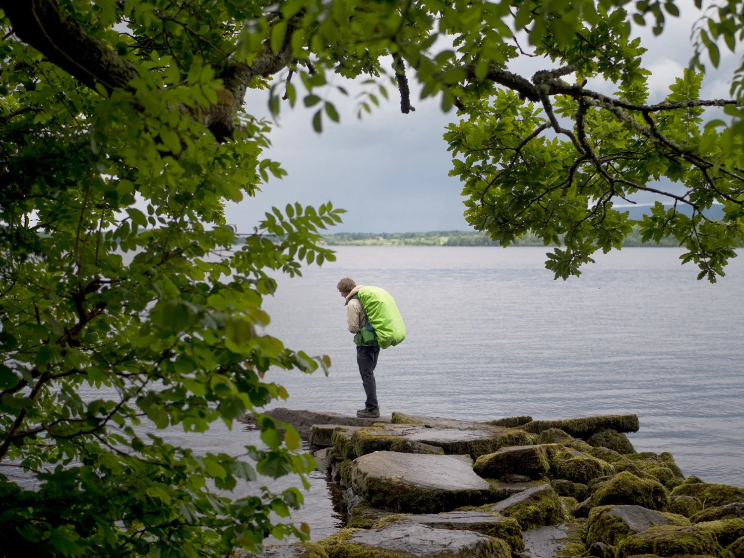
The Sligo Way is a trail that will take you through the lowland forests of poets, winding up to windy hillsides and desolate lake shores. It passes through many of the forests that I mentioned above - such as Slish Wood, Union Wood, and Lough Talt Loop.
Distance: 75km
Format: Linear trail from Dromahair - Lough Talt
Time: 3 Days
Who is this route for: a walker looking to experience the inland hills of Sligo, away from the busier areas. There are few resources (like shops and accommodation) located directly on the trail, and so will require some pre-planning.
read the full write-up here | watch the video | find the GPX on HiiKER
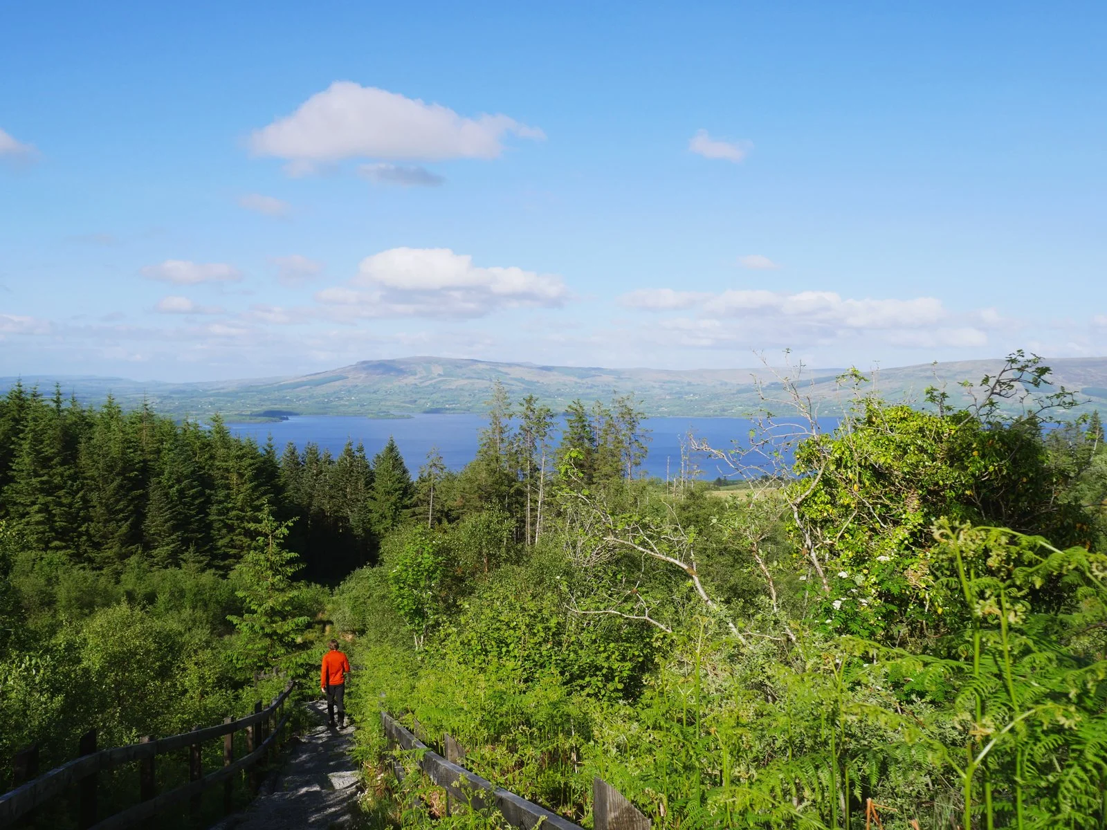
16. Miner’s Way & Historical Trail
A real hidden gem of the north-west, the Miner’s Way takes in the counties of Sligo, Leitrim and Roscommon. Again, it takes in one or two of the places mentioned above (Carrowkeel), as well as showing off other incredible spots that I’ve not singled out here.
Distance: 120+km
Format: A strange figure-eight shaped trail, lends itself to “choose your own adventure” when planning how far you want to go.
Time: 1 week
Who’s it for: someone looking to find the hidden forests, unseen lakes, and generally under appreciated midlands of Ireland. There are no lofty peaks along this long distance route, but there are plenty of wild places nonetheless.
read the full write-up here | watch the video | find the GPX on HiiKER
And so ends my list of great walks and hikes all around Sligo.
For more inspiration and information, check out the Sligo Walks website.