
Overview:
Distance: approx. 12km round trip
Elevation gain: 746m
Format: Out and back
Time: 4+ hours
Start / End / Parking:
I parked on the Lettershanbally Trail Head (google maps link) on the R344 outside of the Glencorbet valley. There’s space for up to 10 cars, if some strategic planning is done.
If you’re looking to approach from the Glencorbet valley, this is the recommended parking spot as of June 2026. The locals of Kylemore ask hikers not to park further into the valley due to congestion and blocked access occurring.Trail difficulty: Moderate - Difficult
The first half of this route follows a dirt track up the valley, and the second half is wild, open mountainside. This becomes a “difficult” rating for me because of the prolonged rocky, steep sections, and mountain terrain without clear paths. An ability to deal with mountain hazards, steep ground and scree is essential.
Read about trail grading in Ireland here.Trail quality: 5/5
I don’t know if having a “trail quality” section for this mountain is appropriate, as while the lower half of the route uses a wide track in through the valley (there is a river to ford), the upper half of this route is not a trail and contains open mountainside and loose rock. This requires experience on moving on loose rock, as well as confident navigation skills for if there is cloud cover or bad weather blows in.Views: 5/5
I love Galway and all the mountains you find here. I love the rugged nature of the Bens, and the wild, windy landscape is inspiring. You won’t always have views in these mountains (the weather changes too fast for it ever to remain one way for long), but the moments you have are breathtaking.Buggy/Wheelchair friendly: No
Dogs allowed: No - this route features farmland and possible livestock.
When did I walk this route: June 2026
External resources:
Learn more about this summit on MountainViews
MountainViews is always my first stop when it comes to info on summits around Ireland.EastWest Maps: the most detailed maps you’ll find of Ireland, here’s a link to the Connemara Mountains Sheet.
It’s a beautifully sunny Friday afternoon as I drive across Mayo and down through Killary Fjord to the start of my hike. This is truly one of the best parts of the Irish summer - if you finish work early enough, you can escape and fit a whole day of hiking into the long evenings.
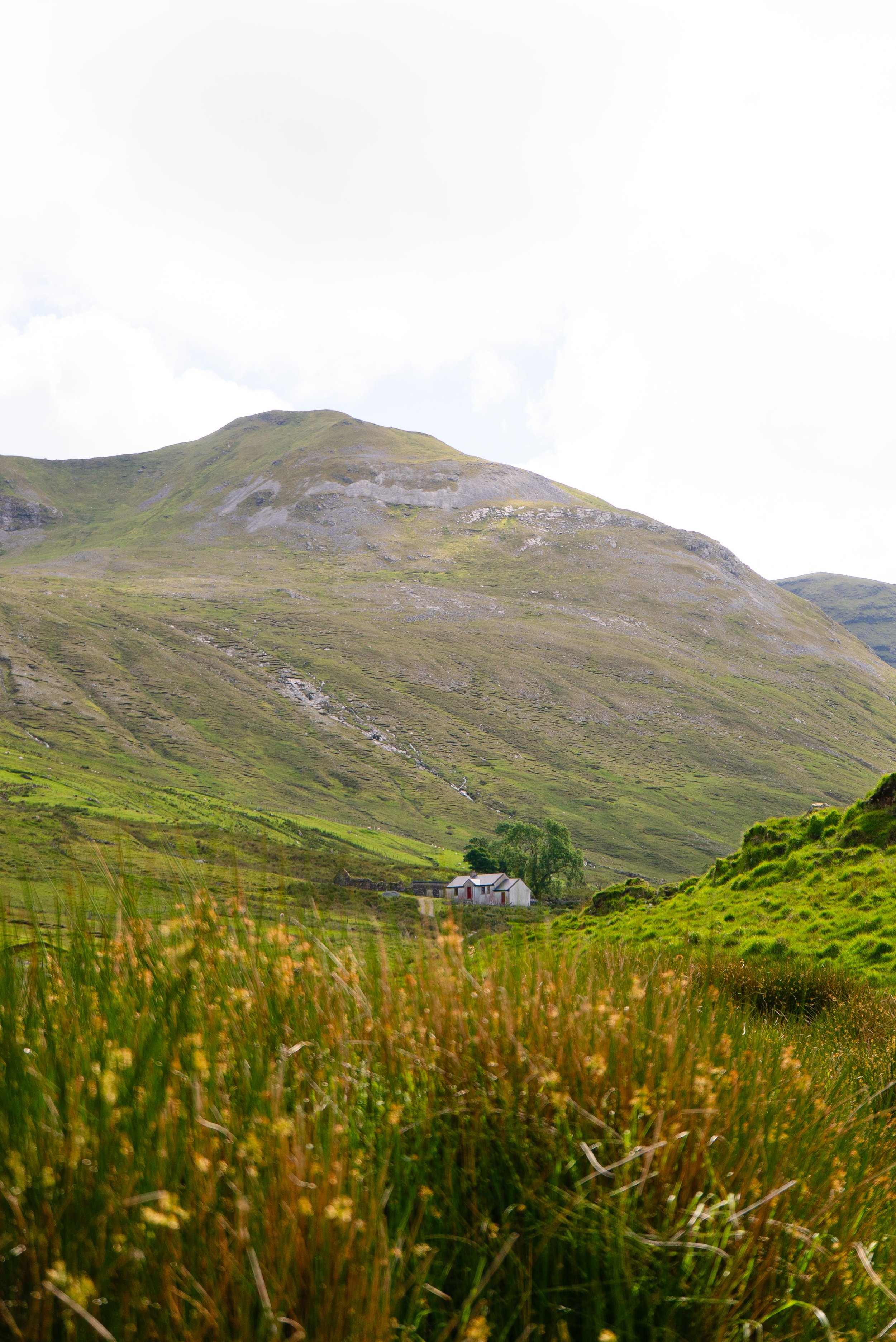
I pull into the small car park at the entrance to Lettershanbally Forest and quickly pack my bag. It’s 4pm as I set off up the road. The first 10 minutes or so is along the R344, which is quite a busy road. Keeping eyes and ears open, I only have to step in a handful of times before I turn off onto the small boreen that leads you into the Glencorbet valley. Another 500m down the boreen, and as the lane turns right, I turn left onto the wide rocky track.
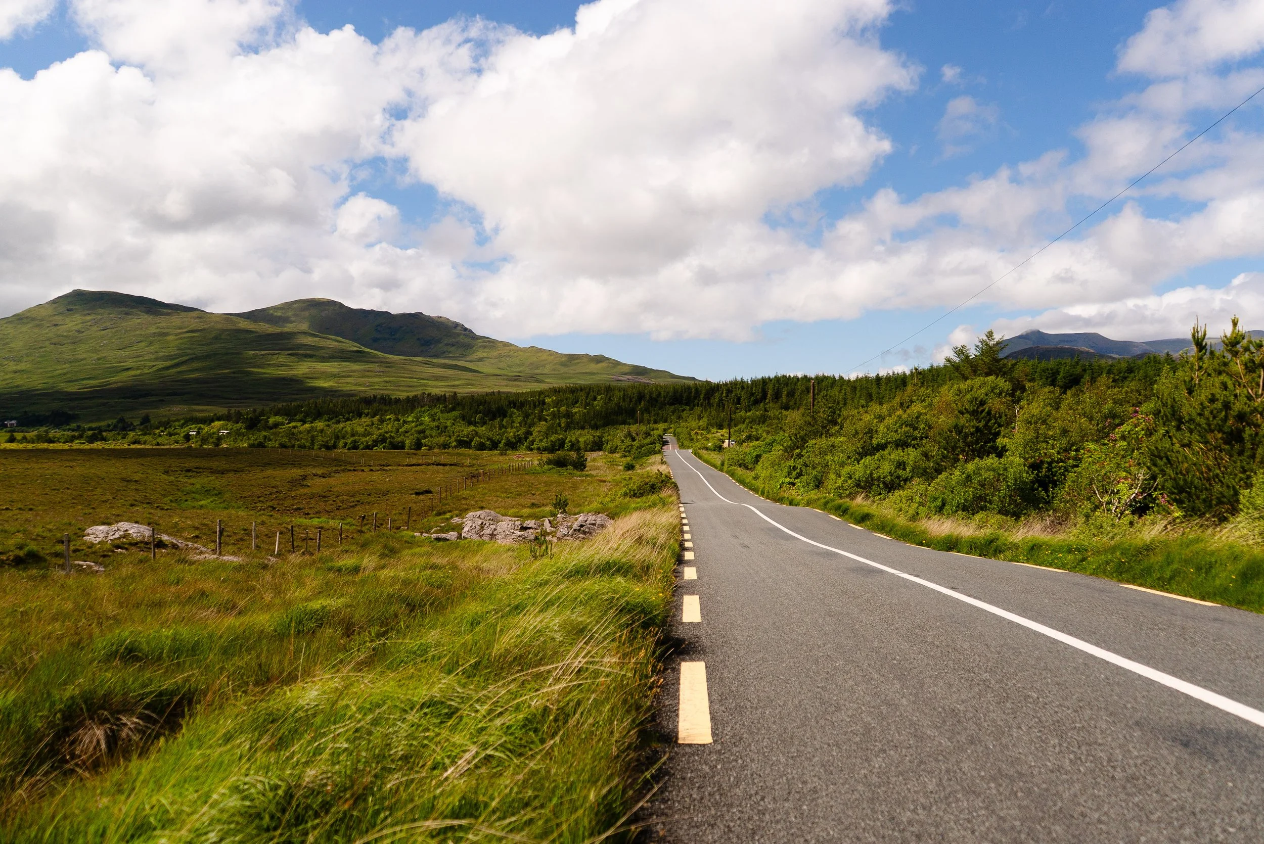
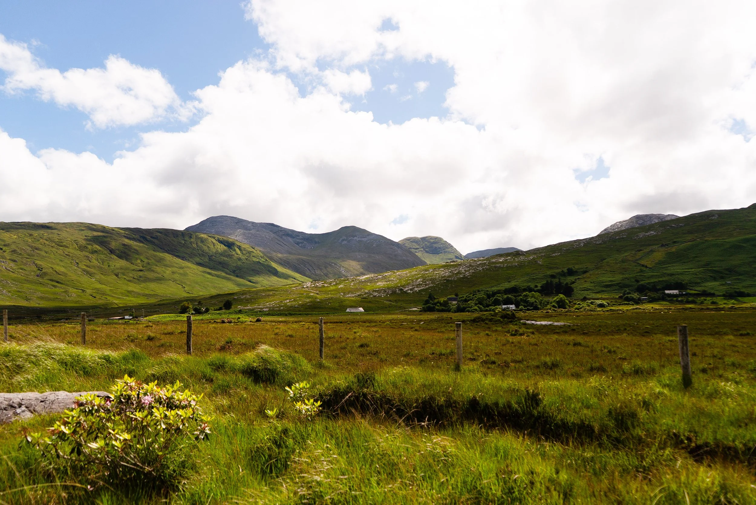
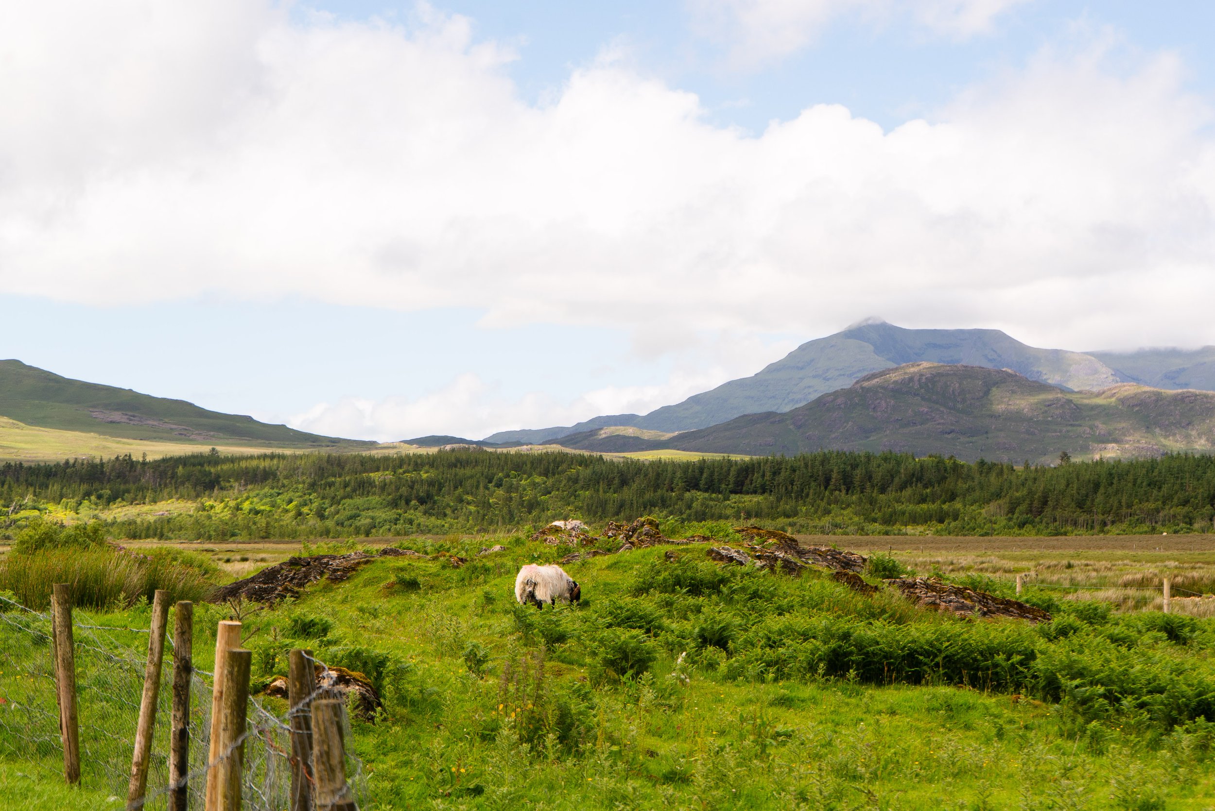
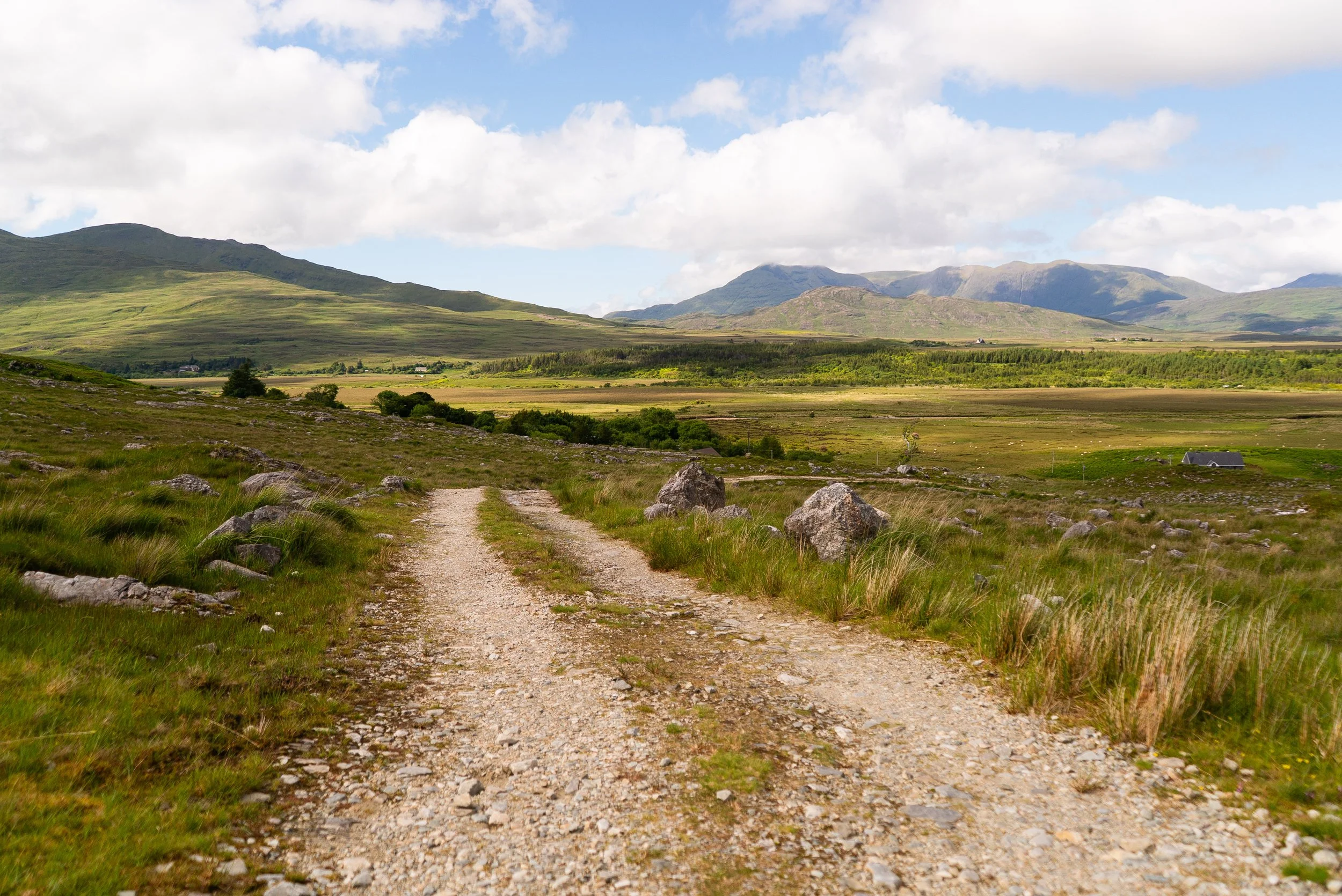
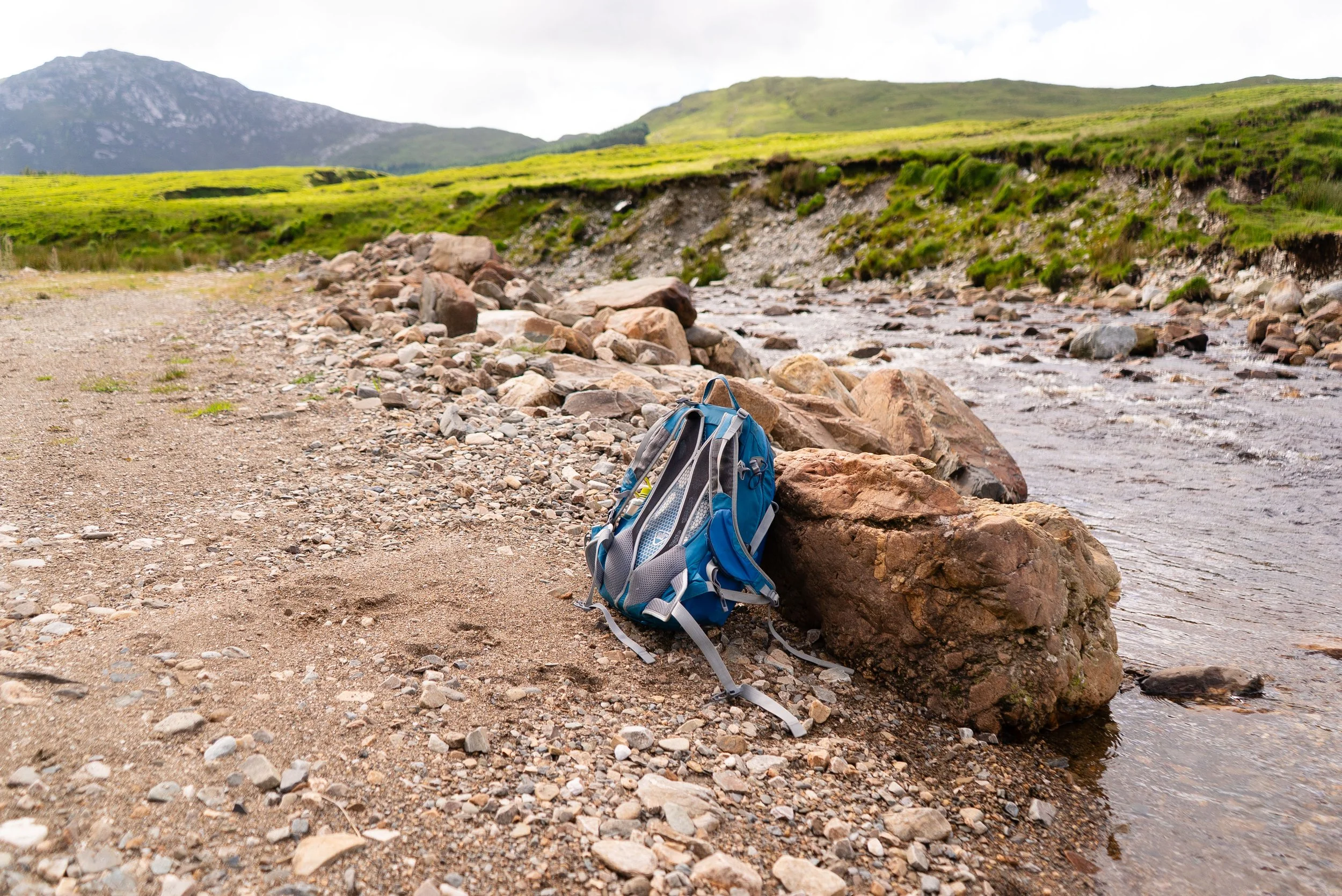
For the next approx. 2km I follow this fairly straight track along the valley floor. I settle into an easy pace as I meander along the riverside. However, as I round a slight bend, I’m pulled up short. It’s time to cross the river, but there is no bridge. I look at the EastWest map of the area, and sure enough, a ford is marked here (but not marked on the OSI). I could walk back along the river and see if there’s a section with suitable-looking stepping stones, but I hadn’t really noticed any on the way in, so I peel off my socks and wade in. The cold water is almost pleasant in the warm sun. The water goes as high as my upper calf (although it’s worth remembering that I am quite short). Drying my legs and feet with the ends of my trousers, I continue on along the old road.
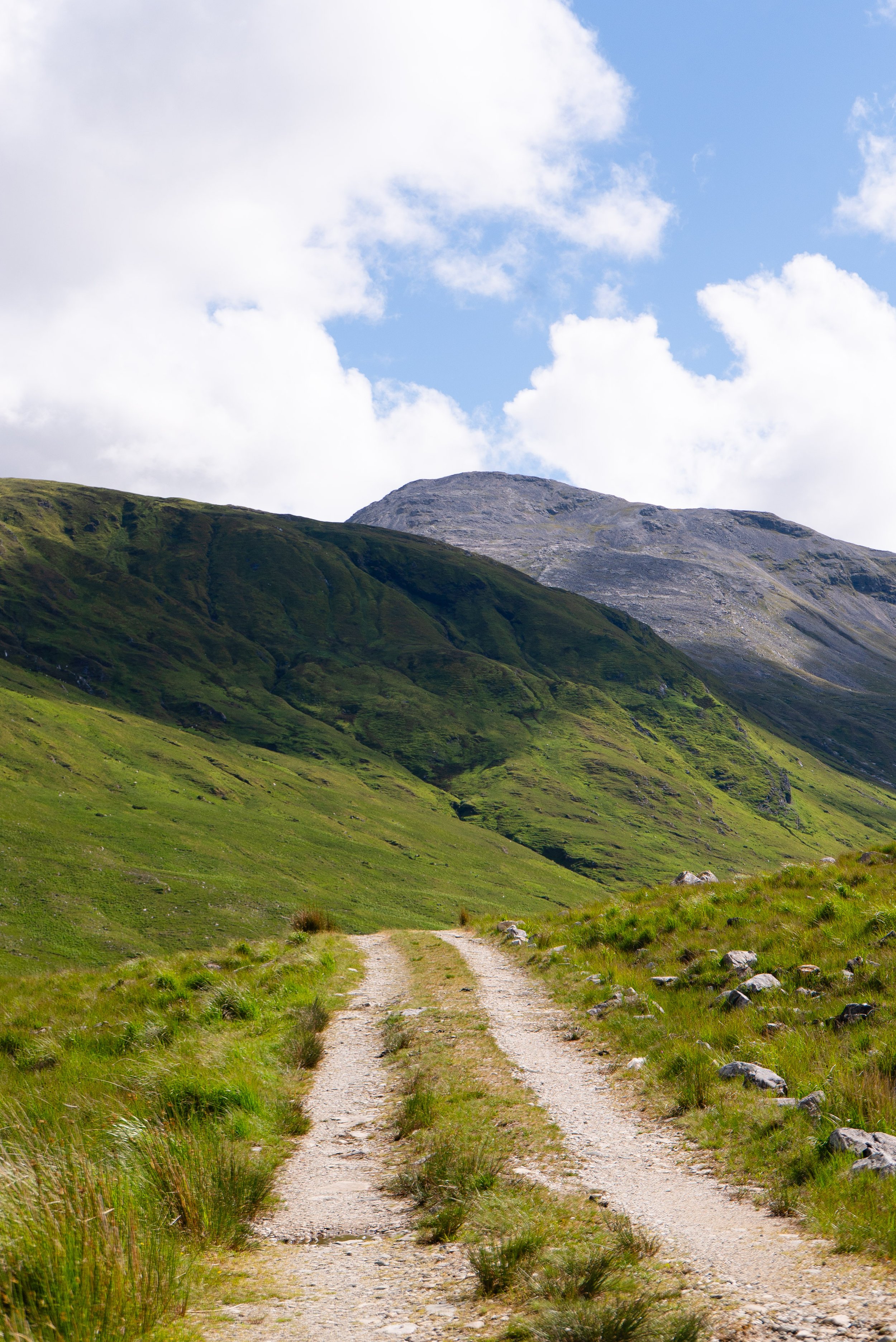
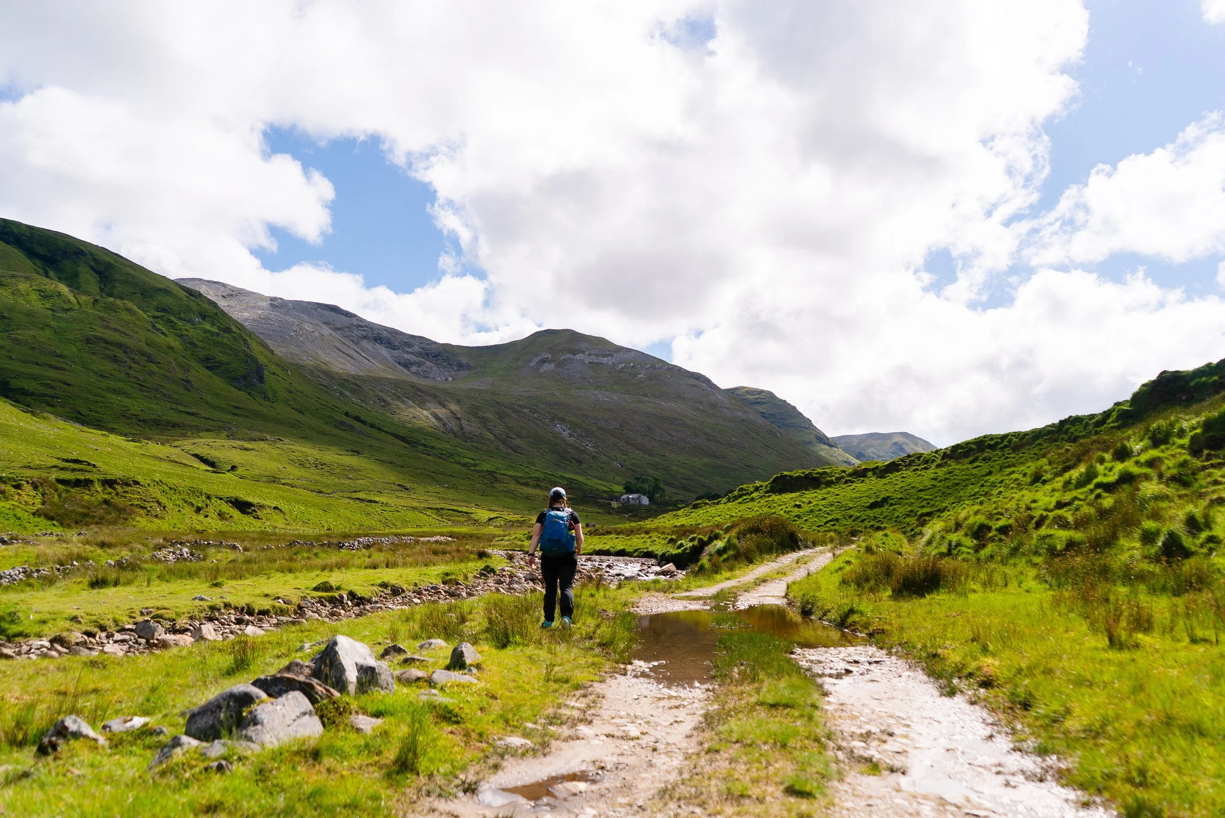
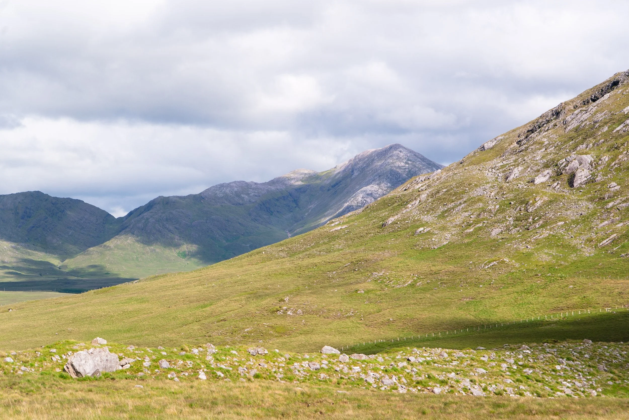
Only a few couple hundred metres from the ford, the wider track turns left and slightly uphill to a small farm yard. The farmer has requested for walkers to stick to the lower, path along the river, so that you can walk around the outside of the yard and sheep pens without having to climb over any fences. I’ve drawn it onto the map below. It can be easily missed when walking in. The ground along the river can be wet, but there’s a rough path you can follow around.
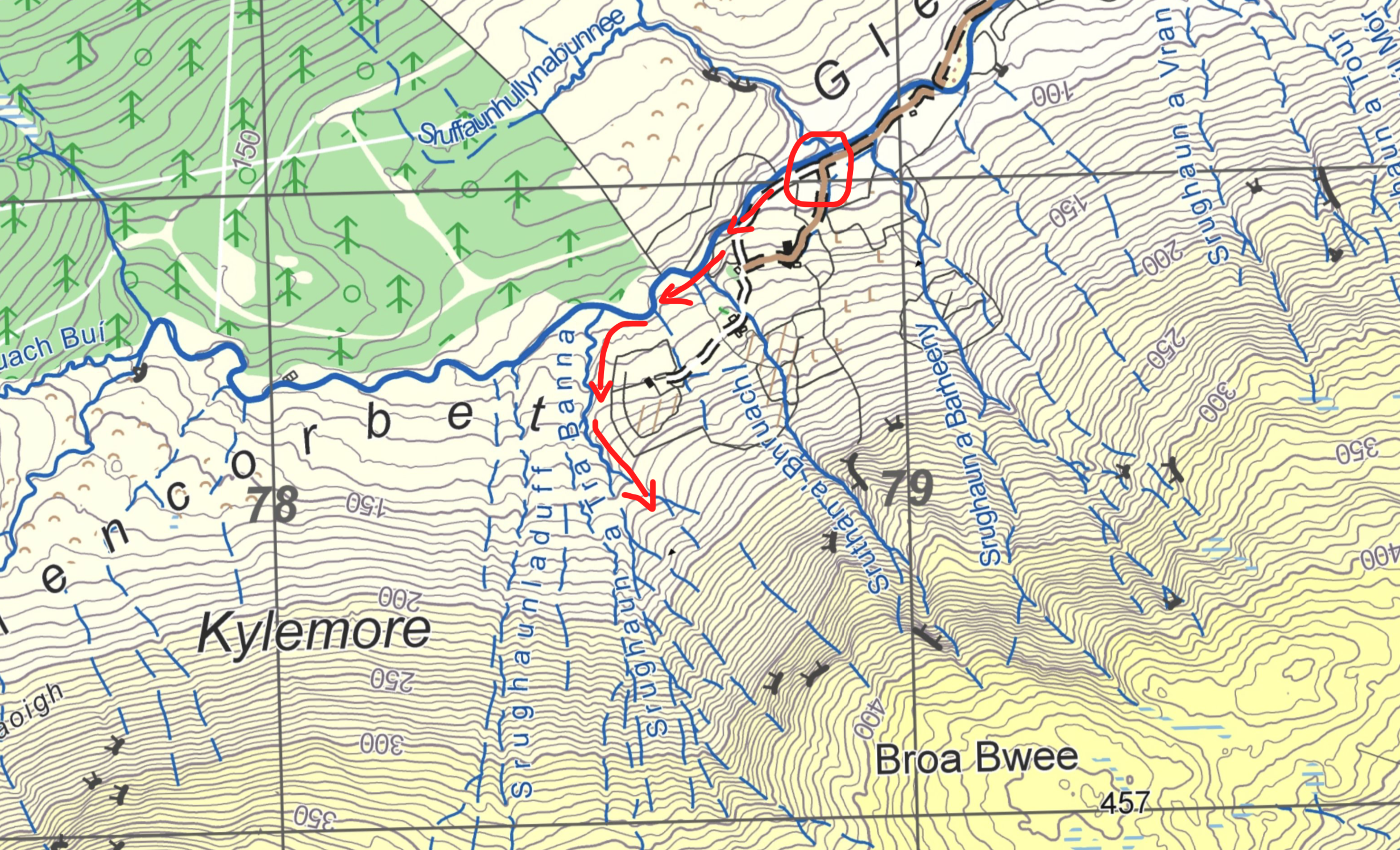
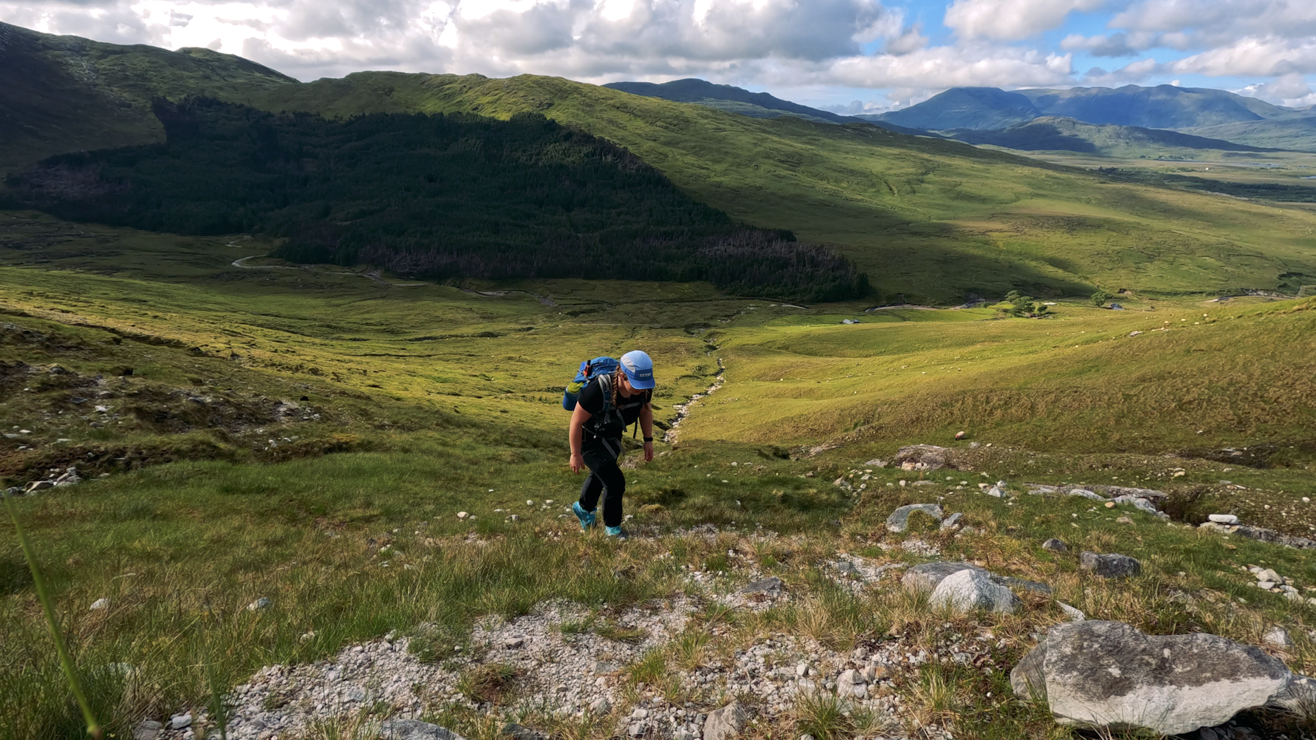
From here, it is open mountainside to the summit. The first half is still grassy, and very steep. Looking at the maps, I chose the streams I wanted to stay between as I climbed up to the col between Benbaun and the 457m spot height to the NE. There are plenty of sheep trails and soil creep to give the illusion of a “true” trail.
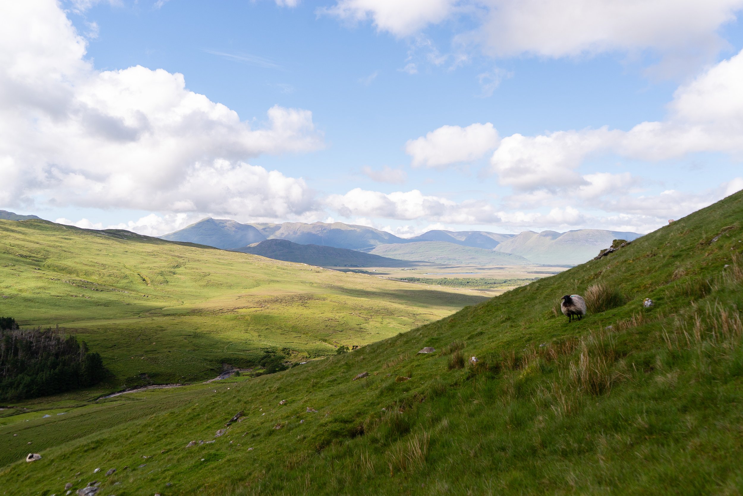
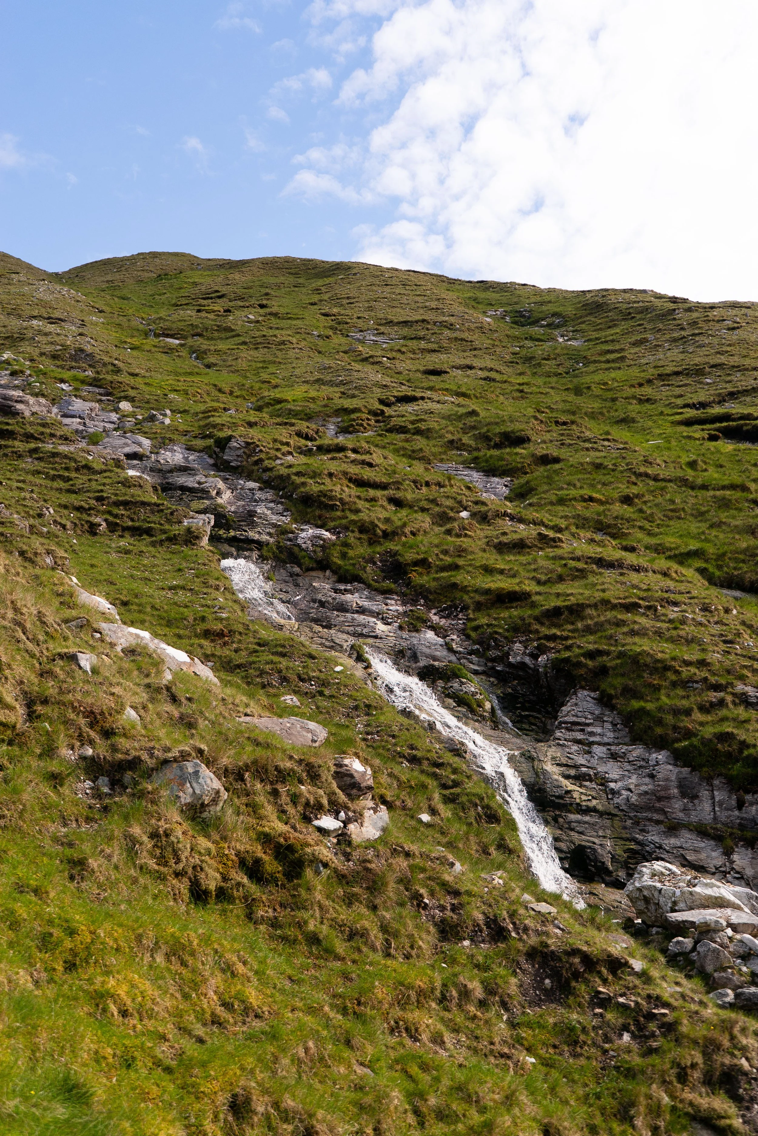
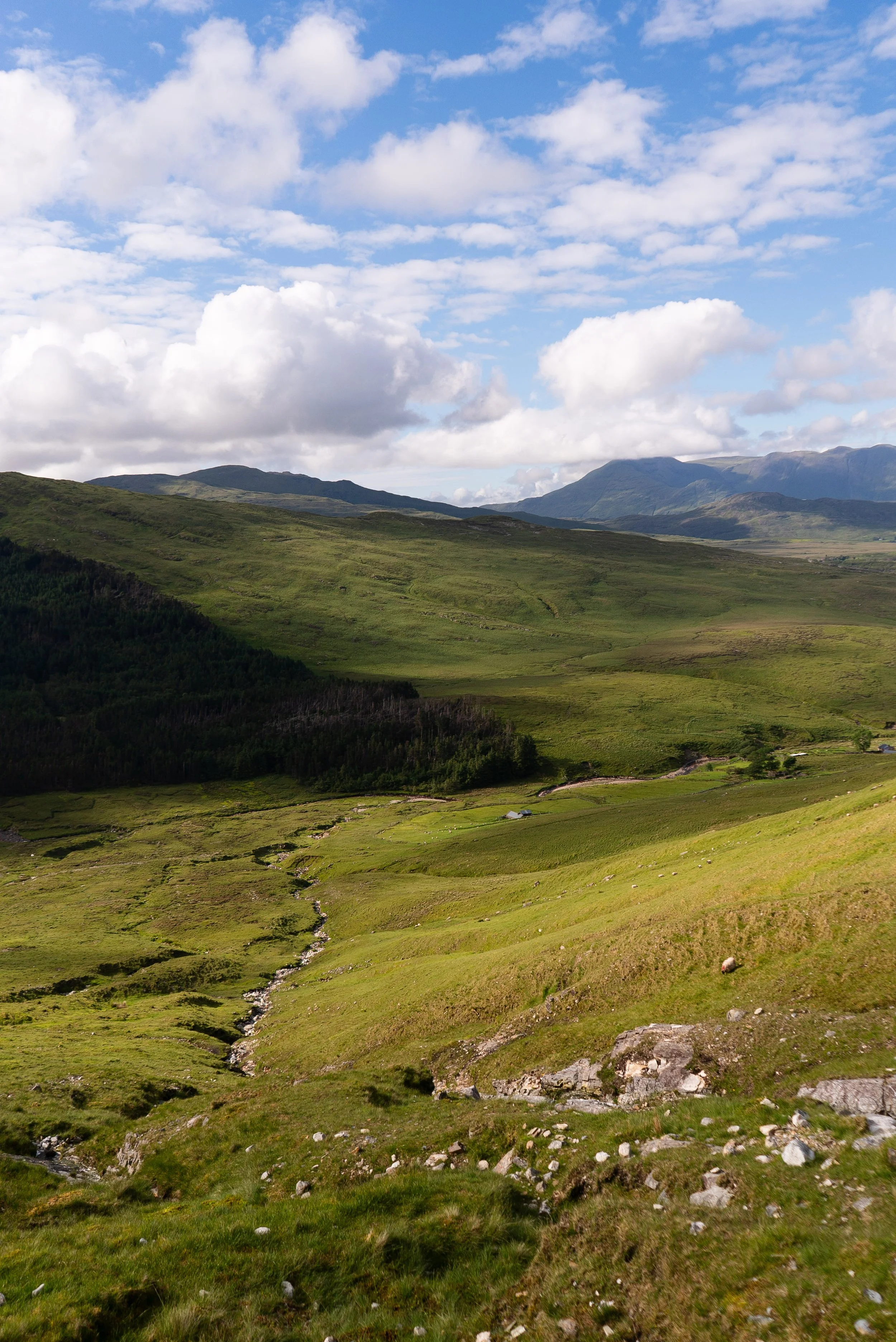
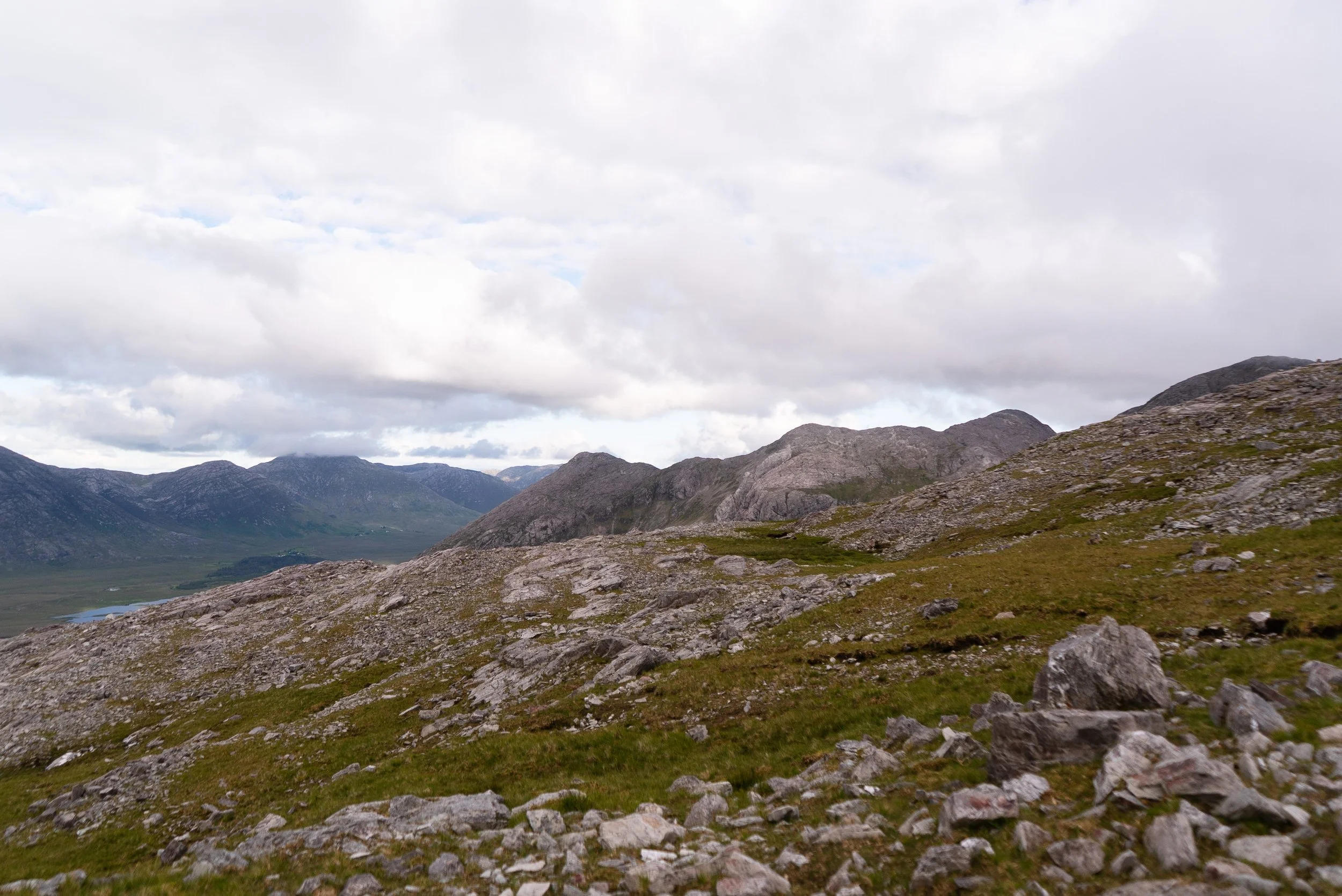
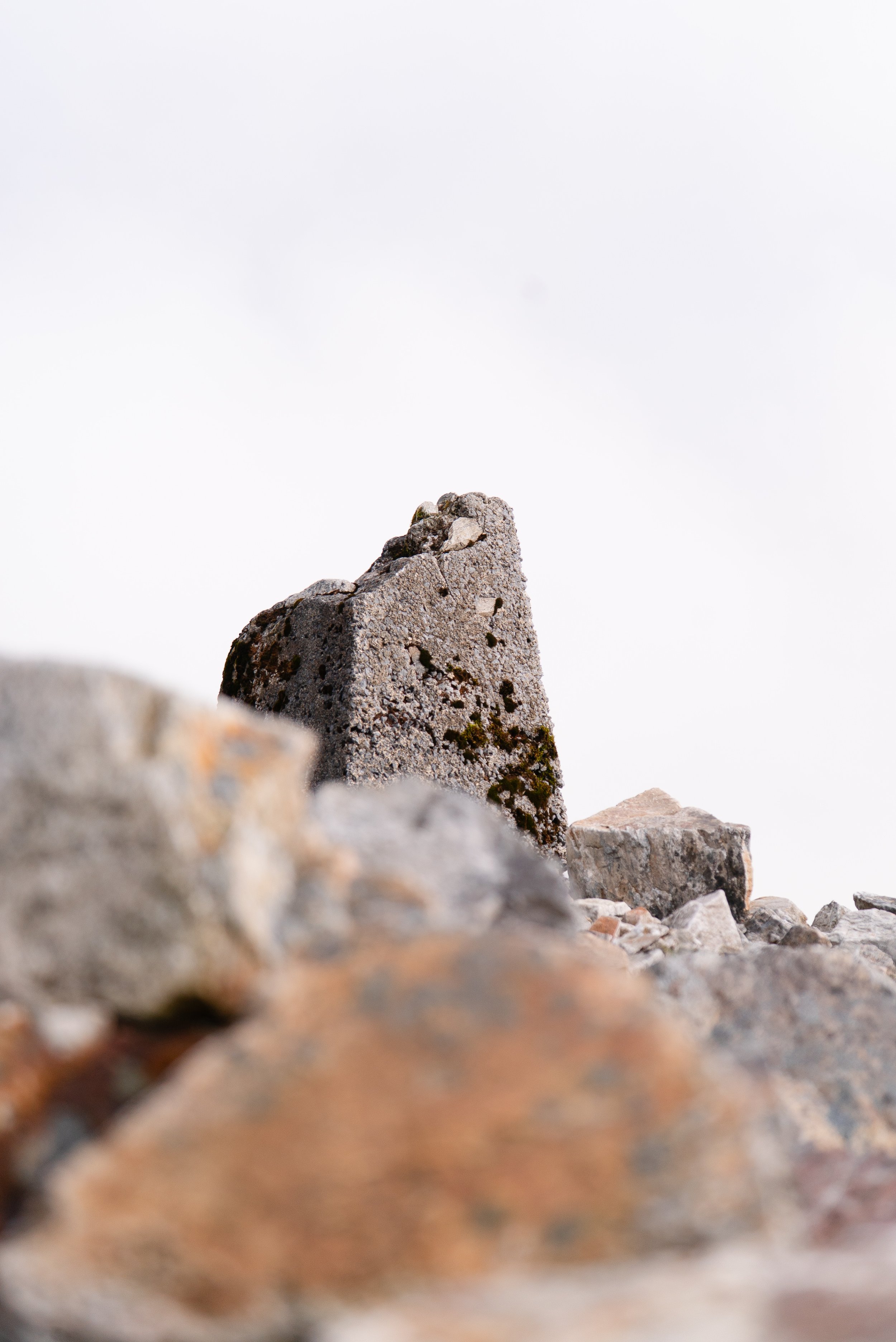
The second half of this climb is made up of the loose rock that the bens are famous for. It’s about 1km and 280m of climbing left to the summit, but I try and forget about either as I slowly zig-zagged my way through the steep scree. Just as I reach the broken trig point, clouds start to stream in from the sea. The speed that they pour over the shoulder is breath-taking, and I watch them fly past as I eat my snacks. My brother rings me, and I shelter in the piled up rocks and enjoy the novelty of both feeling completely disconnected from the rest of the world, while talking to someone many hours and hundreds of kilometres away.
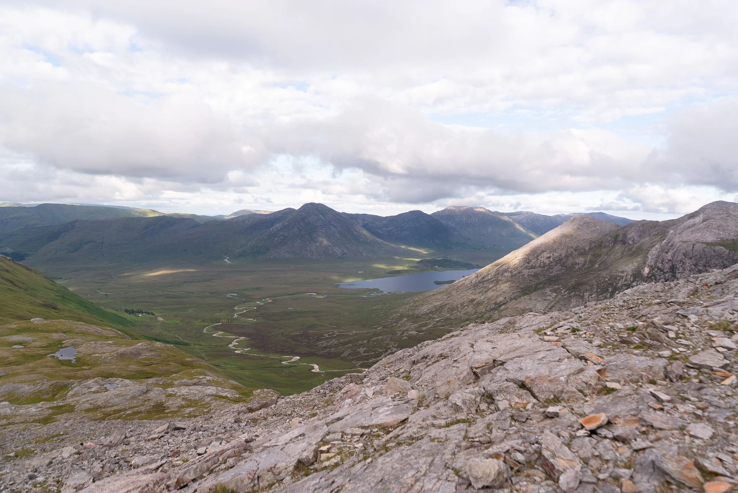
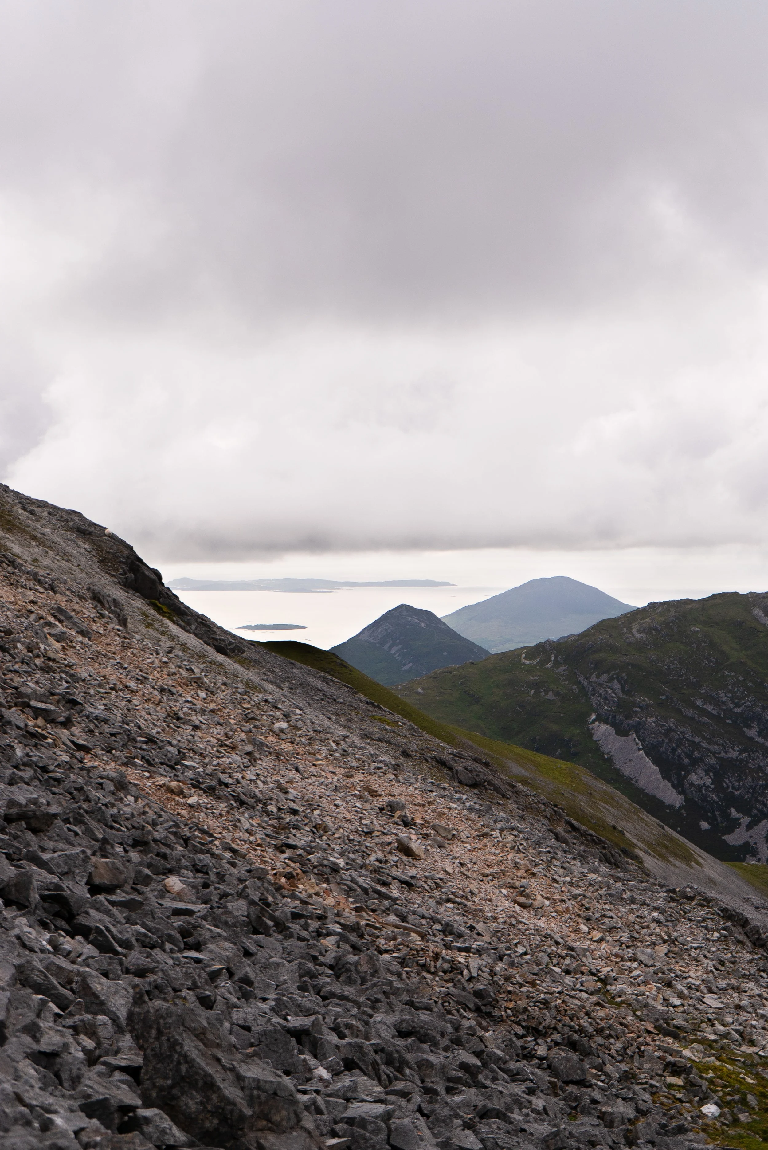
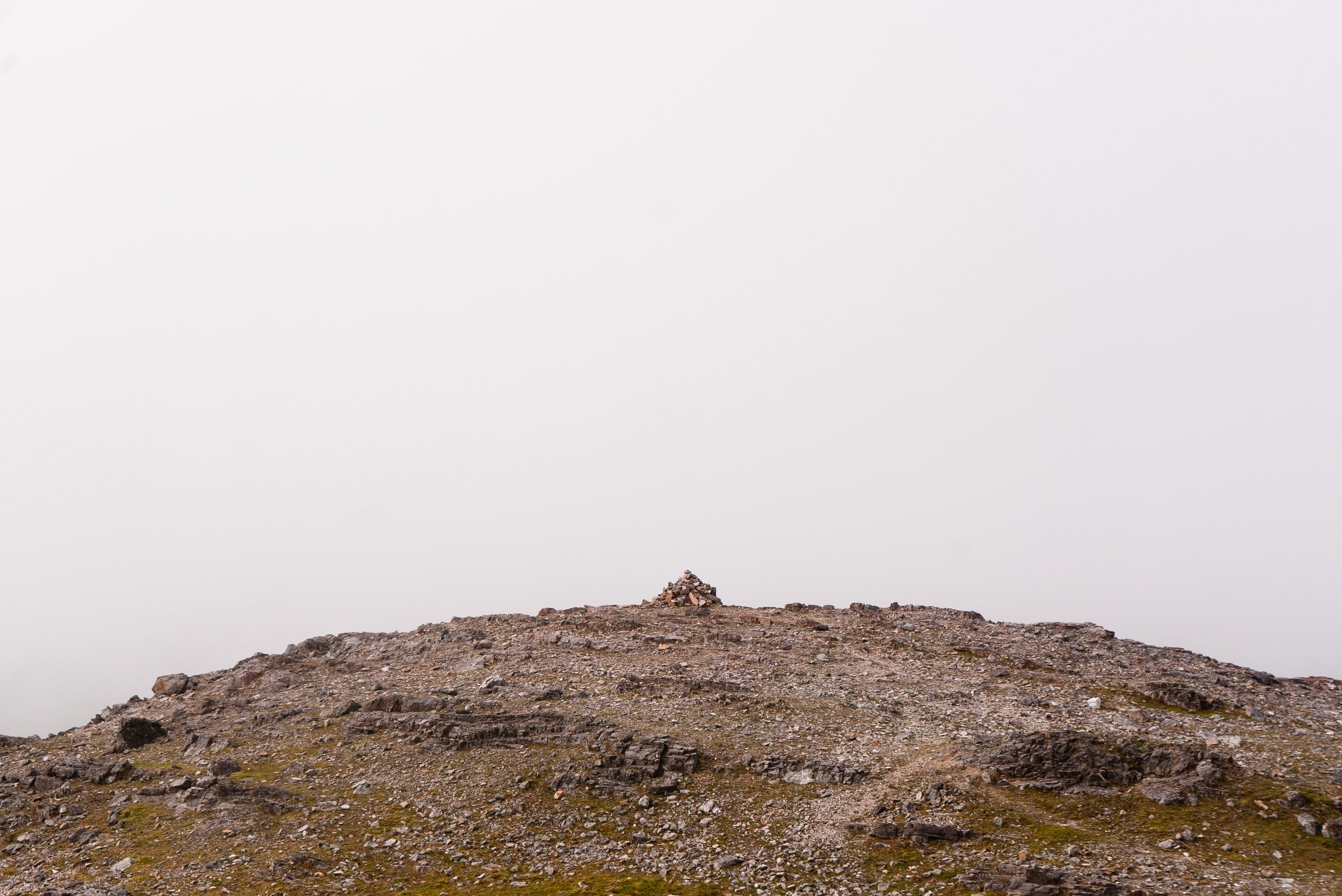
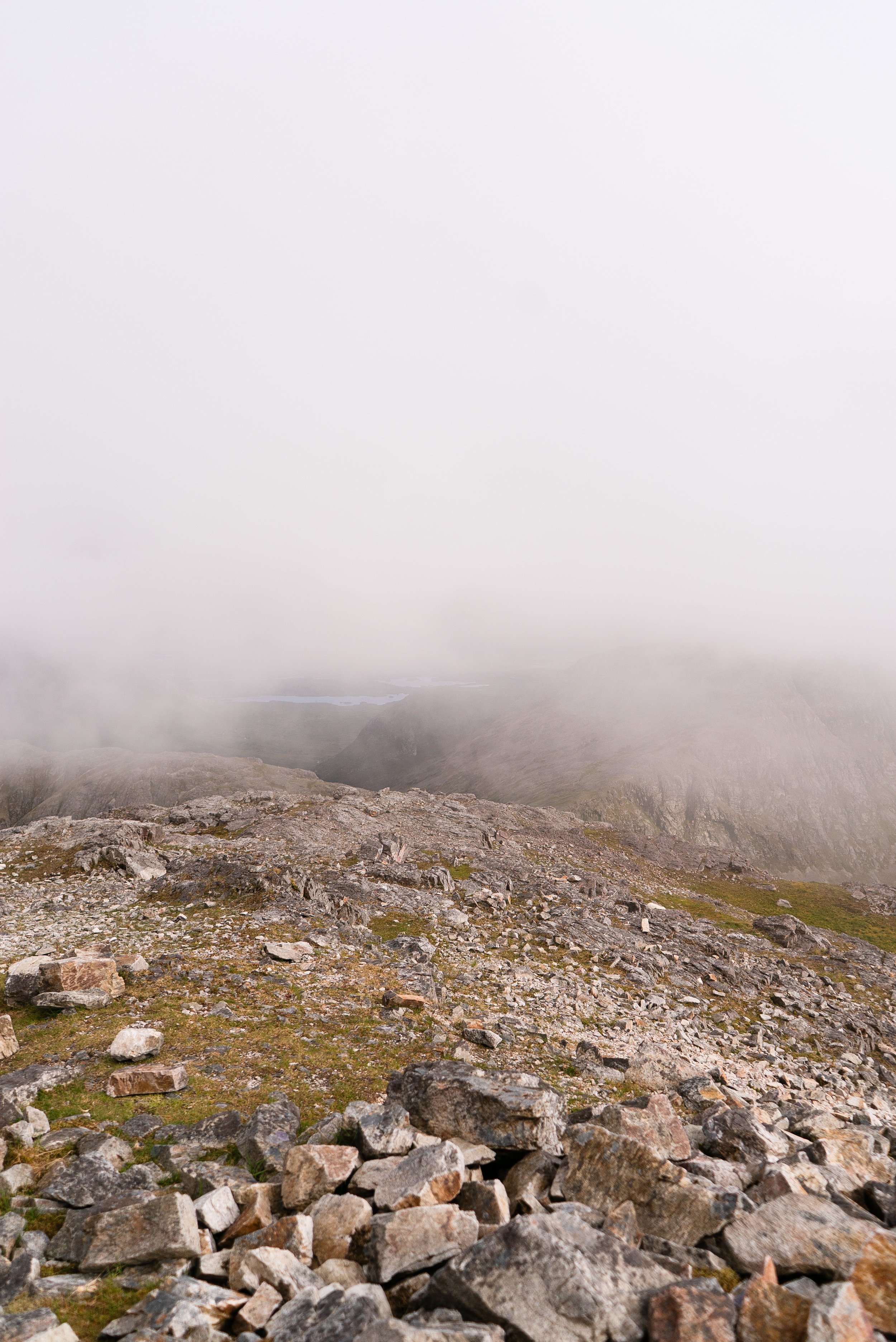
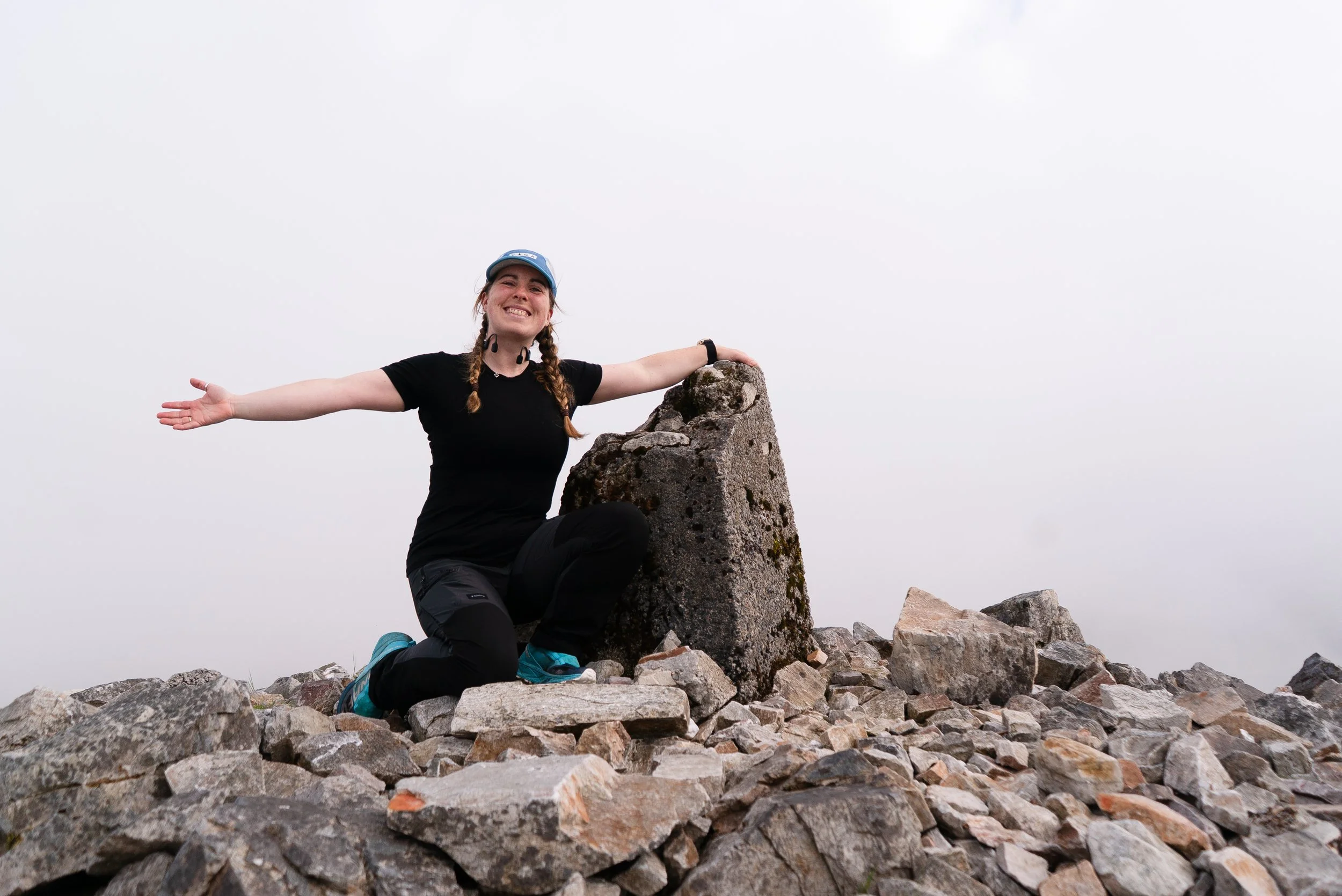
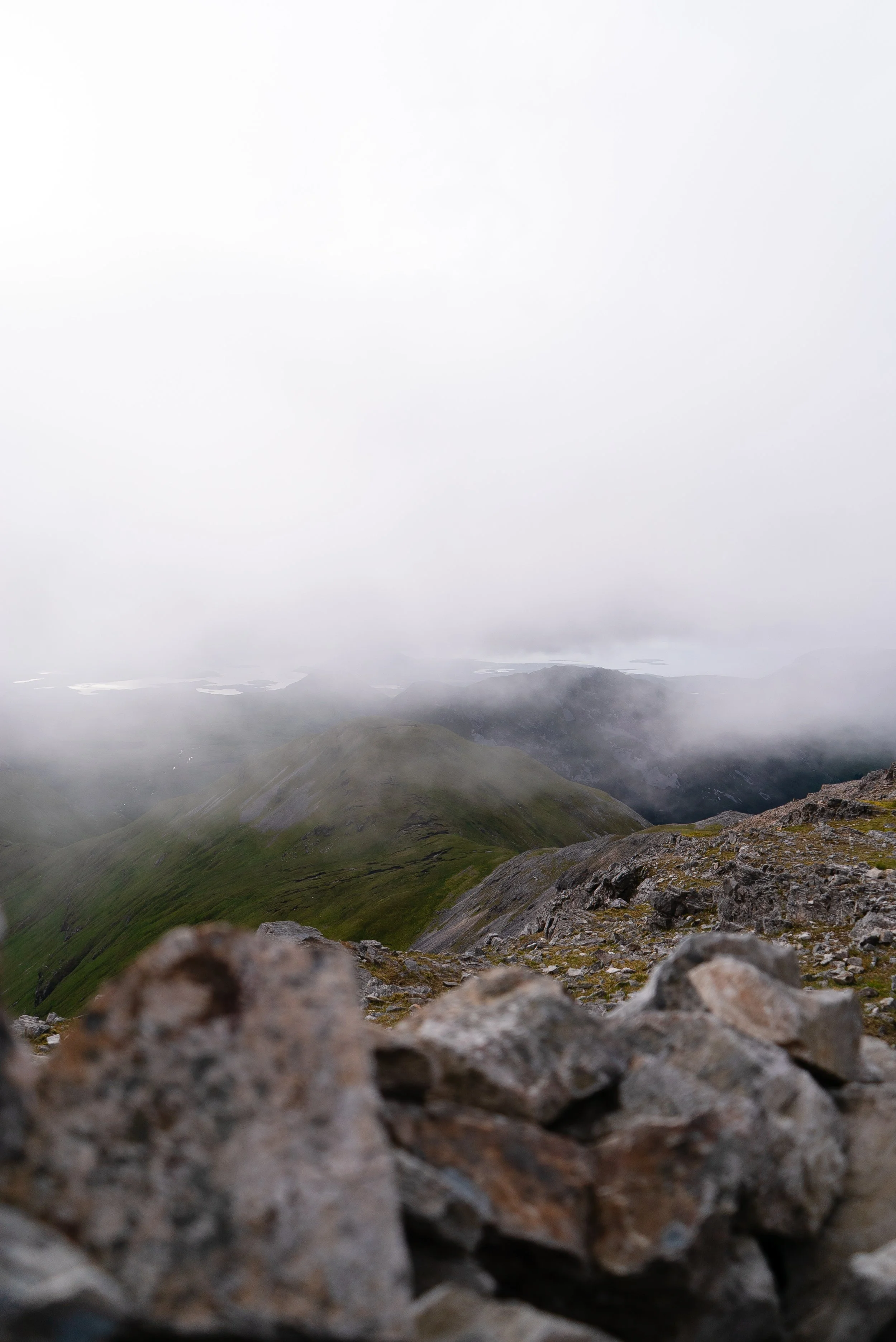
As I descend, a heavier bank of clouds settle in above me. I quickly pick my way back down, revelling in having the mountain completely to myself. As I begin to reach the col once more, a stunning rainbow lights up the Gleninagh River in the valley south of mine. I take more photos than makes any sense, in love with the colours and evening light.
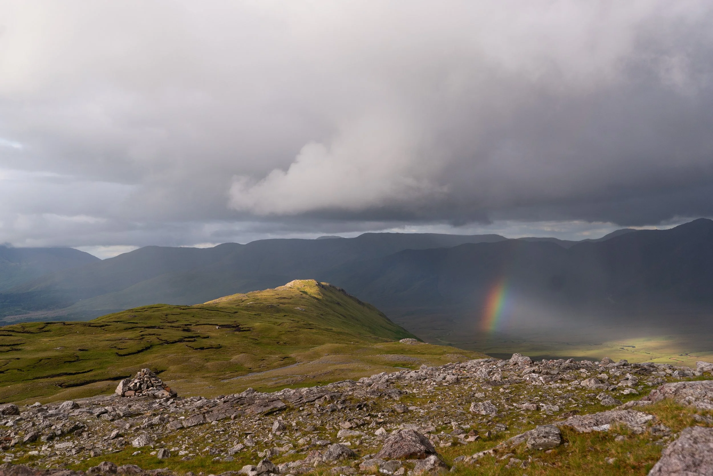
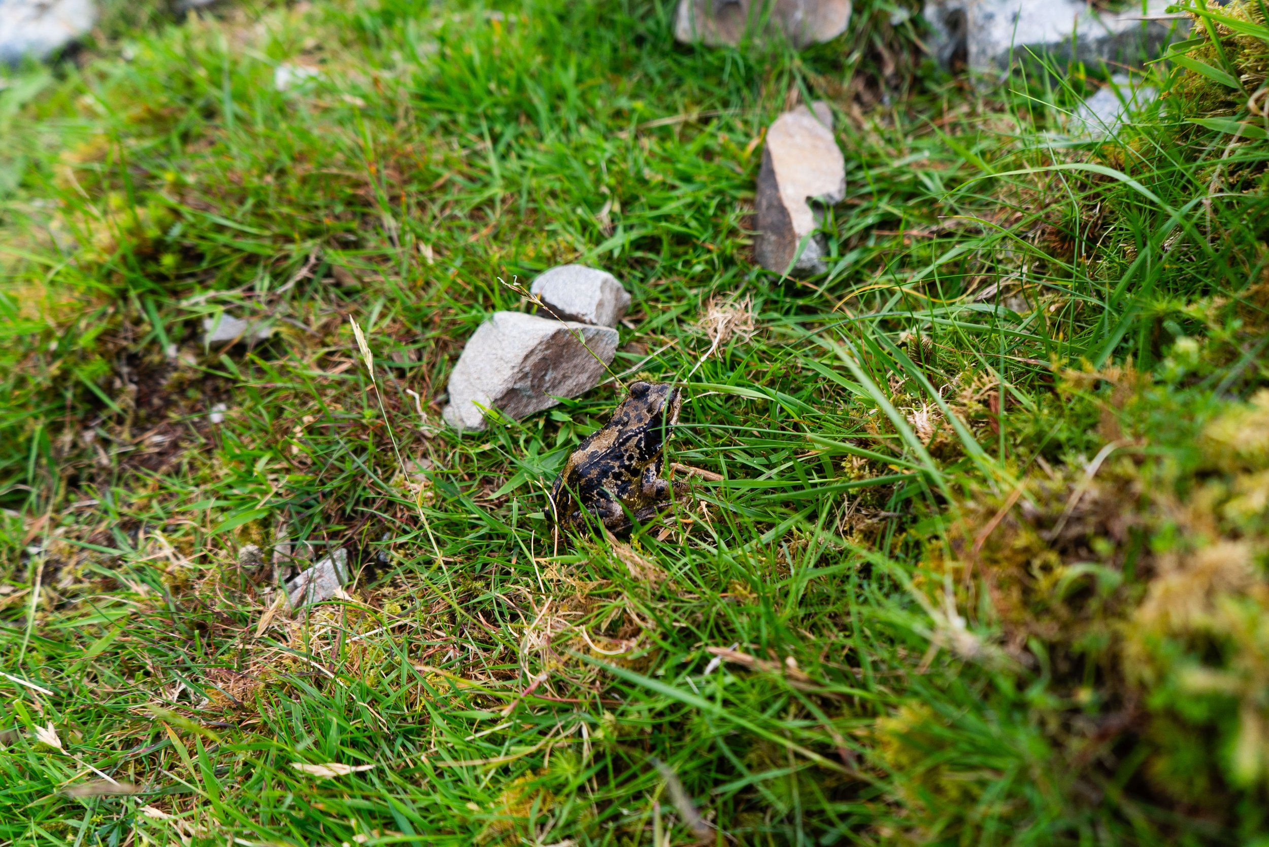
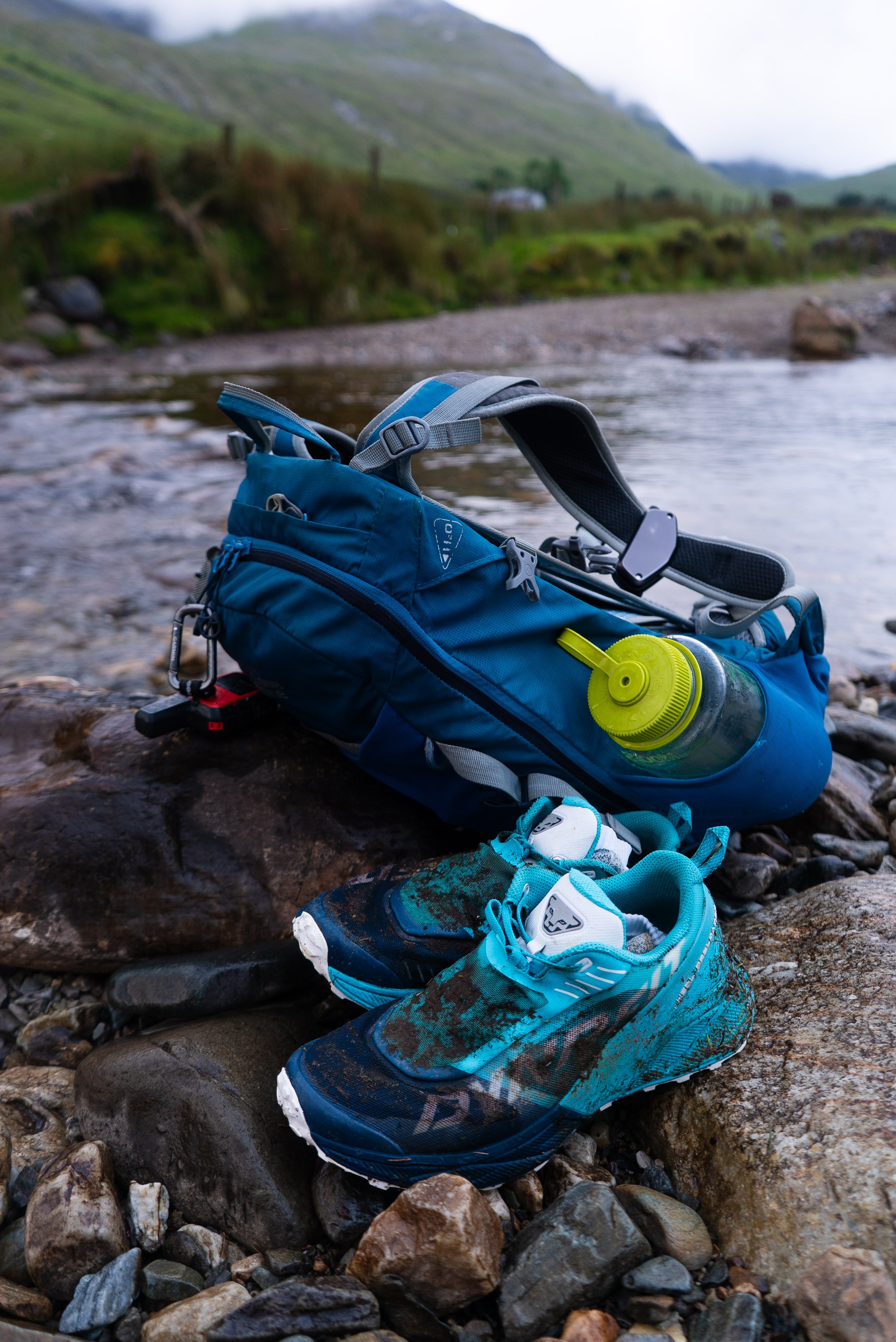
The re-tracing of my steps is as exact as it can be without a trail underfoot, and soon enough the ground is levelling out once more. I meet a frog or two in the wet grass. I take off my wet shoes and socks for one more river crossing - at this point there was plenty of bog in the shoes that taking them off probably wasn’t making much of a difference. In the summer months I’m happy enough to accept the wet feet if it means I can wear the trail shoes that I’ve come to love (as always, assess your own feet and footwear for what you need yourself).
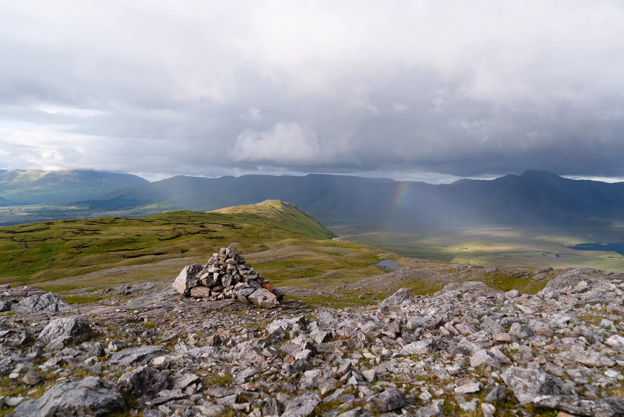
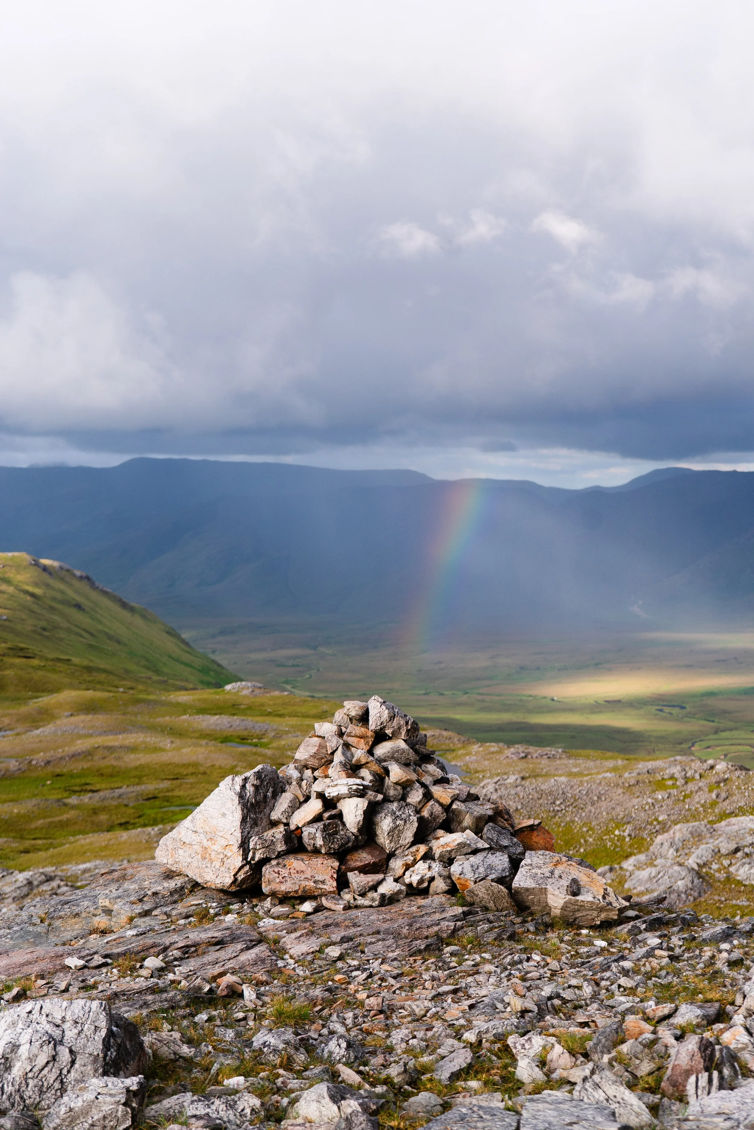
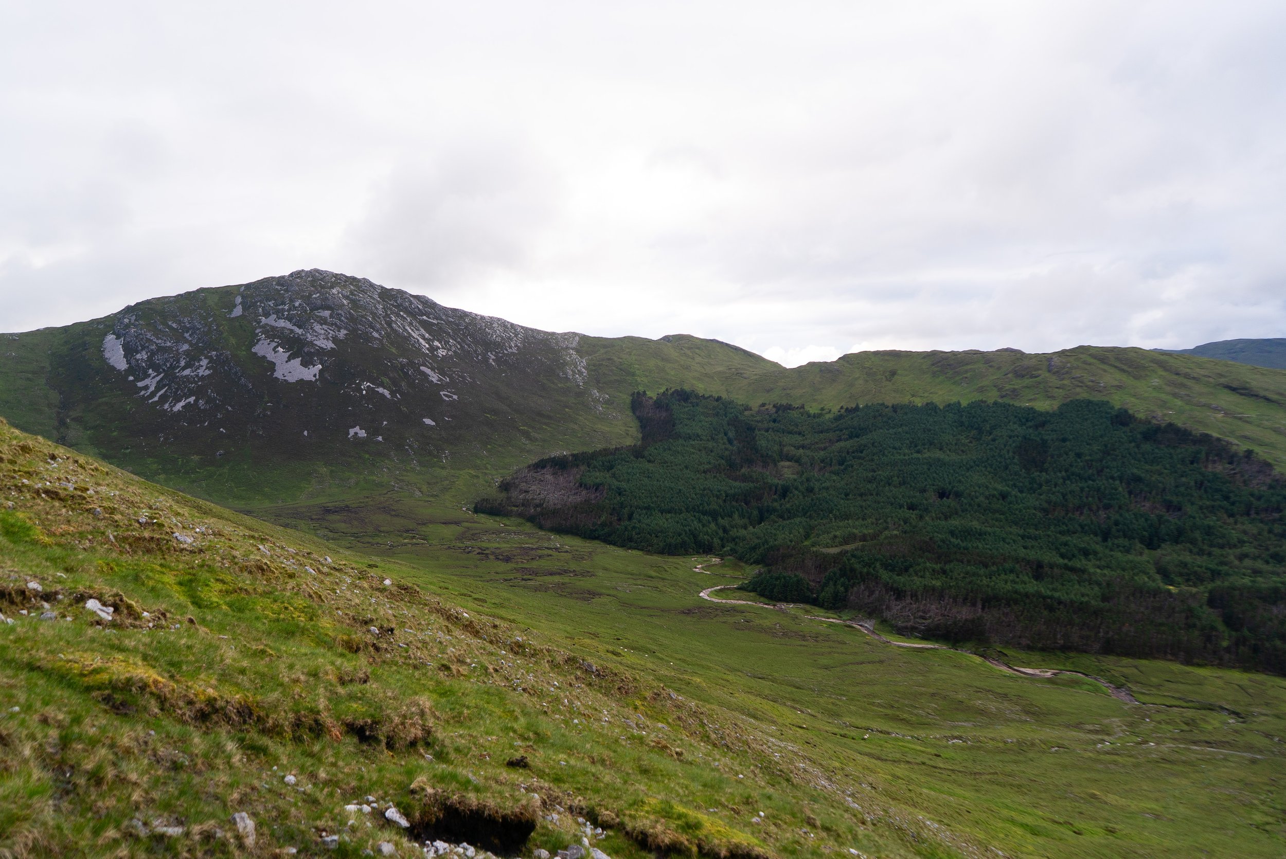
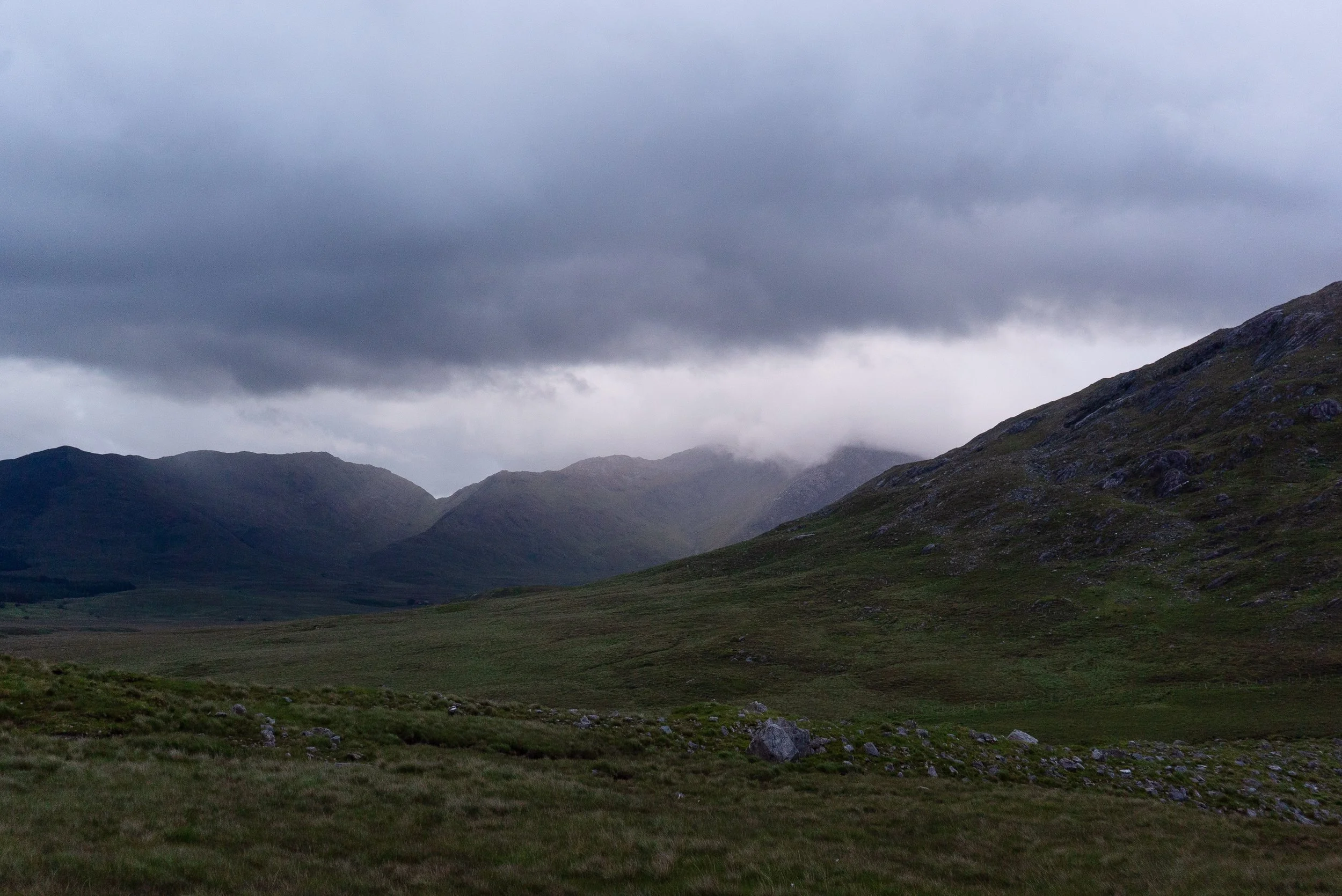
It’s as I’m almost back to the boreen, the main road in sight up ahead, that the heavens open and decide to lash on me for the remainder of my walk back to the van. It almost felt like a karmic re-balancing, taking payment for the beautiful weather I’d enjoyed all evening on the mountain itself.
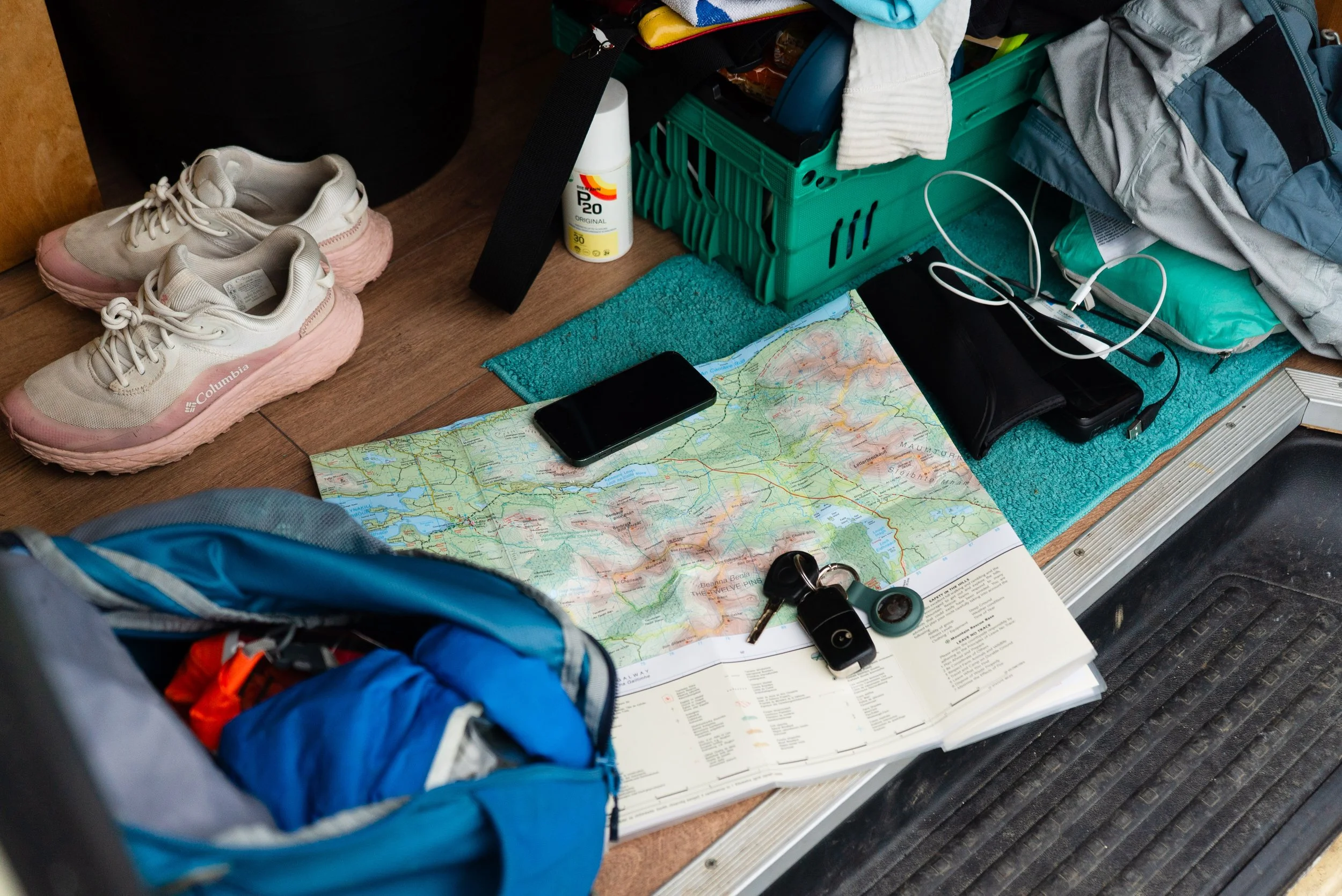
It’s approaching 10pm as I slide open the door and climb in out of the wet - hanging layers haphazardly to hopefully dry out before my weekend of shadowing mountain skills courses. I’m content as I eat my lunchbox dinner and plan my night’s sleep.
It’s hopefully obvious from the text above, but this mountain is not an easy stroll. It’s one of the wilder places you can visit in Ireland, and deserves respect. If you’re someone completing the County High Points List, this mountain is firmly in the “hard” end of the list, along with the likes of Carrauntoohil and Mweelrea. If you’re new to the hills, I’d strongly recommend finding a local mountain leader to take you (send me an email if you need a recommendation).
Further exploring
Other trails in the area:
Mám Éan - Galway Day Hike (google maps)
I don’t have a specific write up for this walk, but it’s a lovely short hike that takes in a section of the Western Way as you climb up to a pass in the Maumturks (one of Galway’s mountain ranges). It’s approx. 4km total out and back.
Viewpoints and beaches to visit:
Dog’s Bay is one of my favourite Irish beaches (google maps)
Pine Island Viewpoint (google maps)
This isn’t a trail, but a very popular viewpoint from the general areaThe Connemara National Park Visitor Centre (same location as the start of the Diamond Hill hike above)
Coffee/food options:
I nearly always stop into Roundstone for a coffee when I’m in this area
Hostels