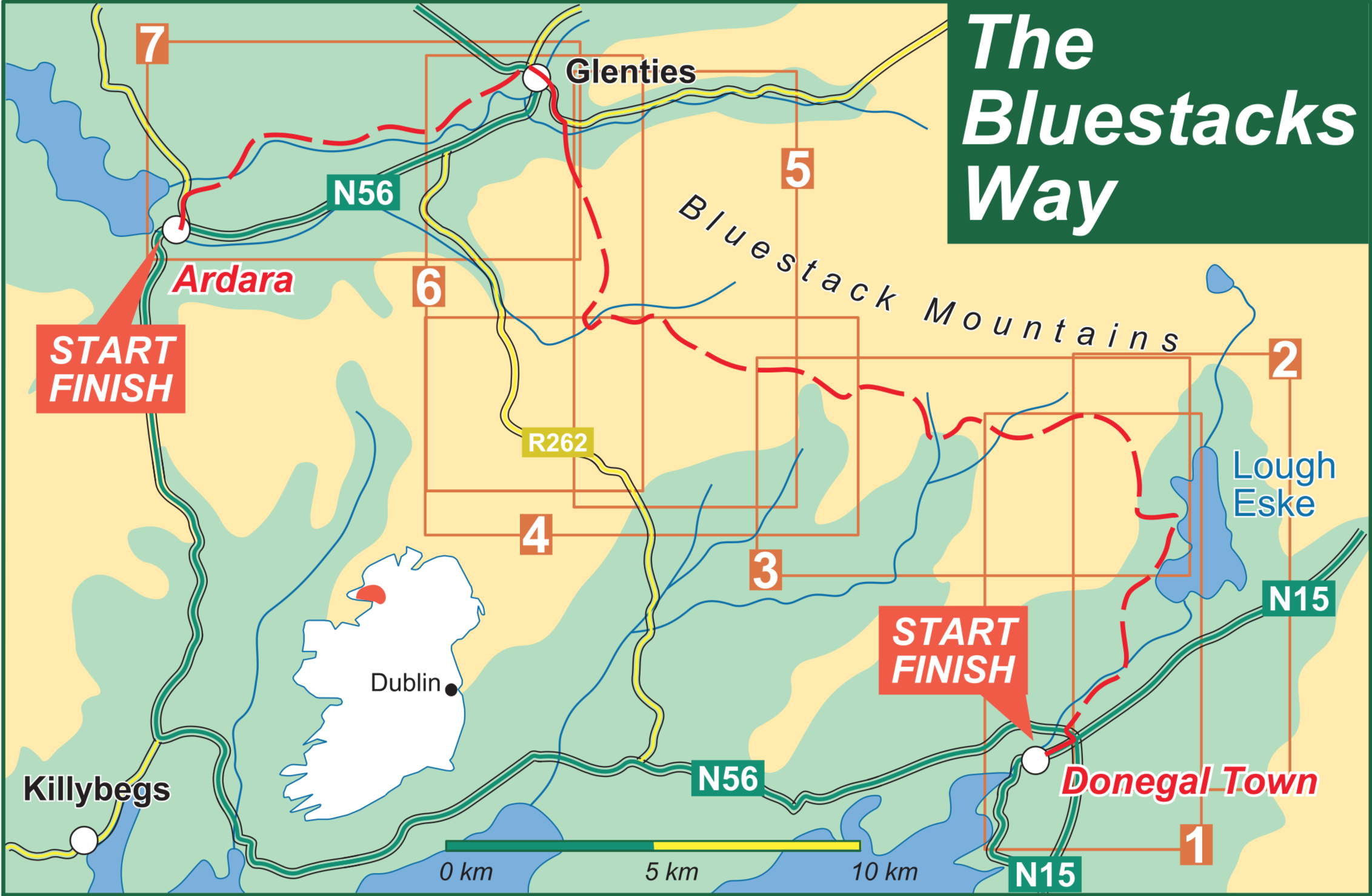
Official length: 65km
What we walked: 55km (roughly 10-15km of the official length is towards an alternative bad weather route that you can take instead one of the mountain crossings)
Start point: Donegal town
End point: Ardara, Co. Donegal
Trail difficulty: 2-3/5 (weather dependent)
Trail quality: 3/5
Views/area: 4/5
Camping/accommodation: In Donegal town we stayed at Donegal Independent Hostel, which we really liked. We also stayed in the Bluestacks Centre which has a hostel section, and Brennan’s B&B in Glenties. Camping is definitely possible along the trail, but very weather dependent as there’s a lot of unsheltered, marshy landscape.
Maps: We’ve made our own Tough Soles maps! These maps are free to use, remix, and redistribute under CC-BY 4.0. All you need to do is attribute us! Here are the maps for the Bluestacks Way, and here are all the maps we’ve made.
5th June, 2018
Day 1: Donegal Town - Bluestack Centre (23km)
We arrive into Donegal Town the evening before, and spend a night in the Donegal Independent Hostel - a really nice place, only a short walk out the bay from the town itself. The next morning we get up slowly, pack up our stuff and immediately stop in town for a coffee. A strong start to the day!
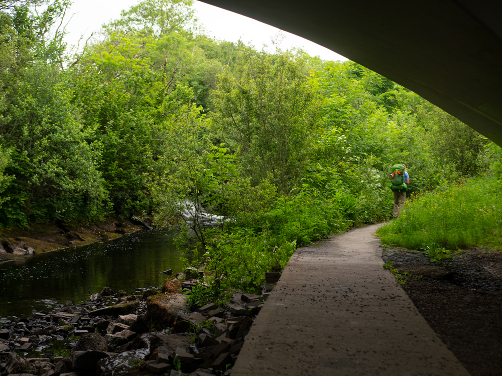
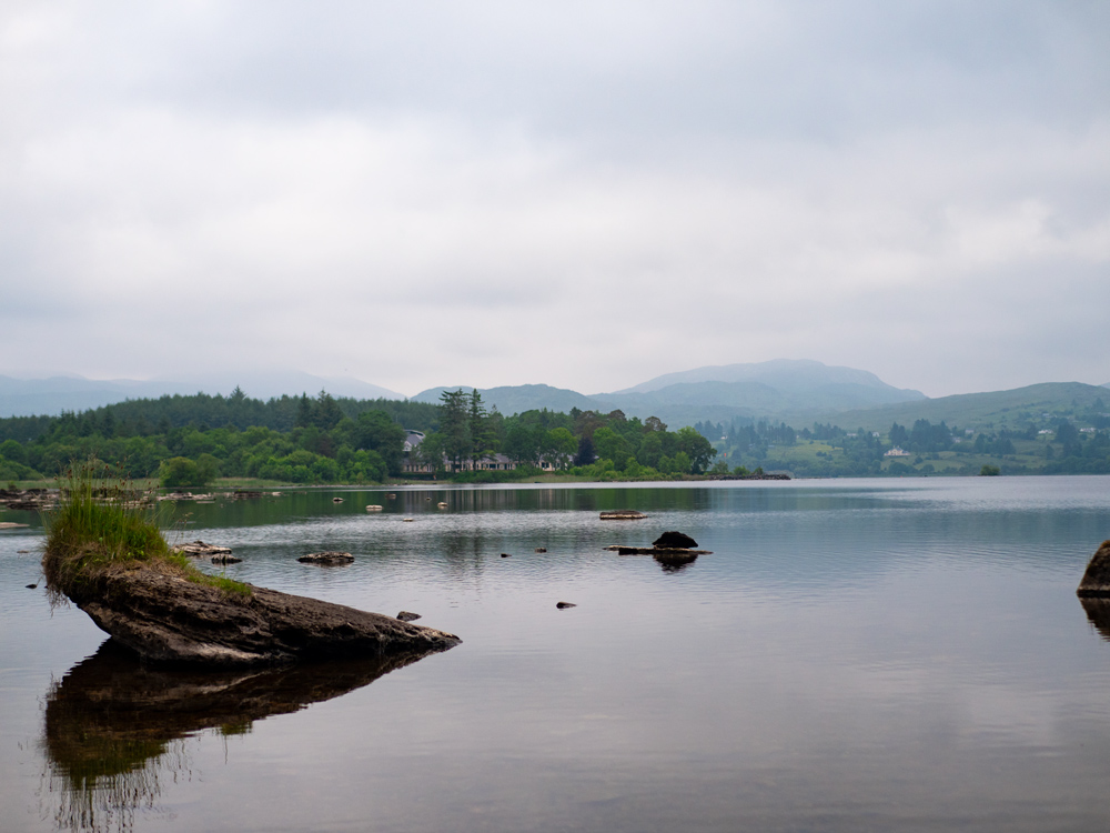
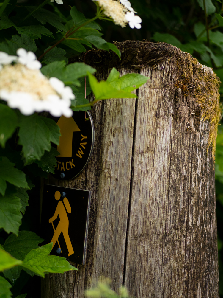
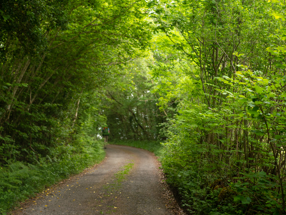
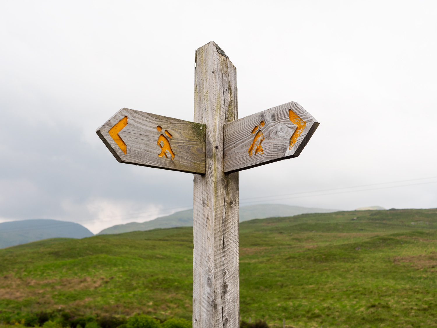
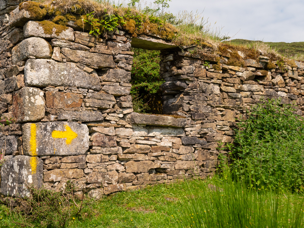
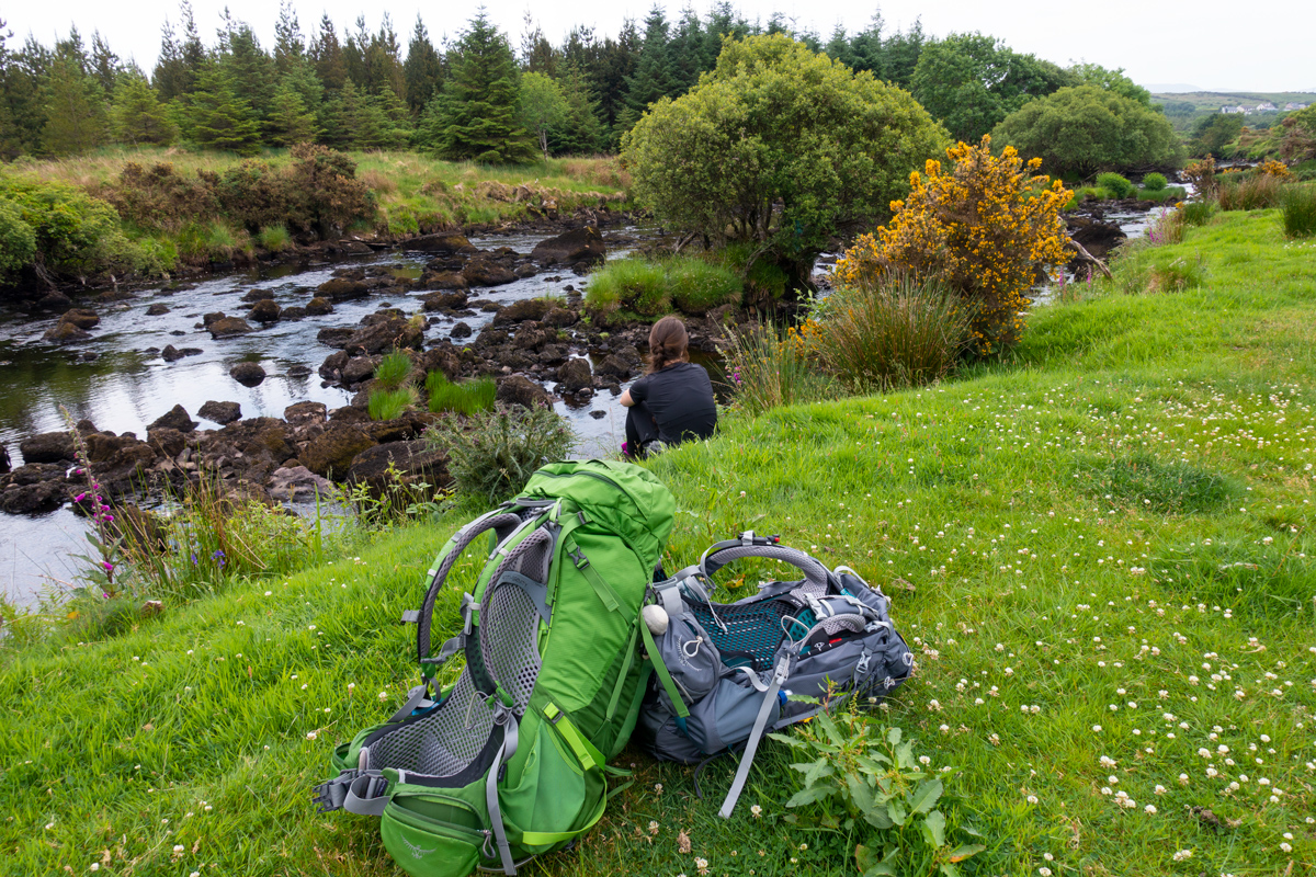
The signage for the trail at the very beginning is pretty non-existent, so we try and follow the maps we've printed off, and the one or two uselessly placed signs out of the town. Somehow, we've walked the right way, and wind under some bridges and start up a hill. It's late morning and already the day is incredibly humid, our t-shirts sticking to us as we keep moving up these small hills, hair plastered across our foreheads. The clouds are all hovering low on the horizon, feeling ominous and casting weird shadows across the landscape. The trail takes you from Donegal town itself up to Lough Eske. The water is perfectly still, like a mirror as we stand leaning against a wall, panting. We meet a family taking on the waters edge, and wait for them to leave before we start doing the exact same thing. It's peaceful, but we know we've only gone maybe 8km, and so turn our legs back to the road. Our plan is to take a break when we reach the off-road track that the map says is up ahead. The road starts to climb agin, and the views down over the lake are beautiful. We stand at a tiny bridge and admire the view. Then we look at our map. Look at the bridge we're standing on. Look at the map.
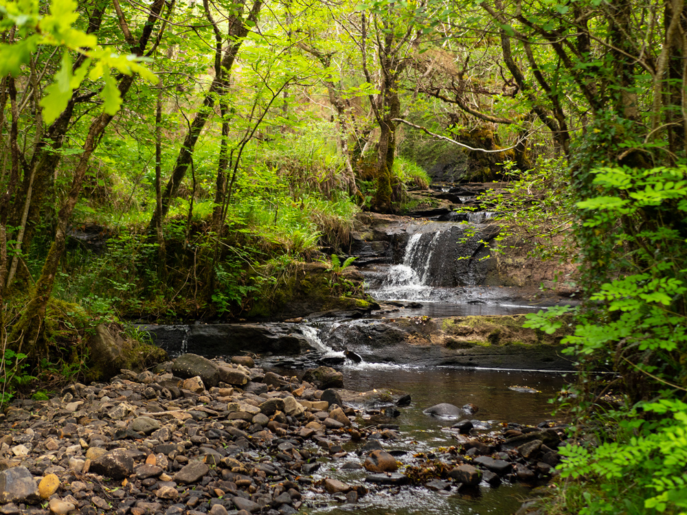
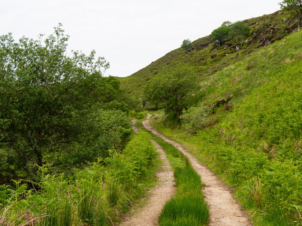
When you see a bridge marked on a map, over what looks to be a small river, there really are a lot of options for what this might be. It can be a small river, maybe 6 meters wide, or it could be a drain featuring some slow moving mud. Not every mud drain, however, is a bridge. Which makes situations like this take more than one look. What we were able to confirm with all this looking was that we were in fact already on the "track" section of the trail. A car then chose this perfectly timed moment to drive passed us. We ate some bananas and carried on.
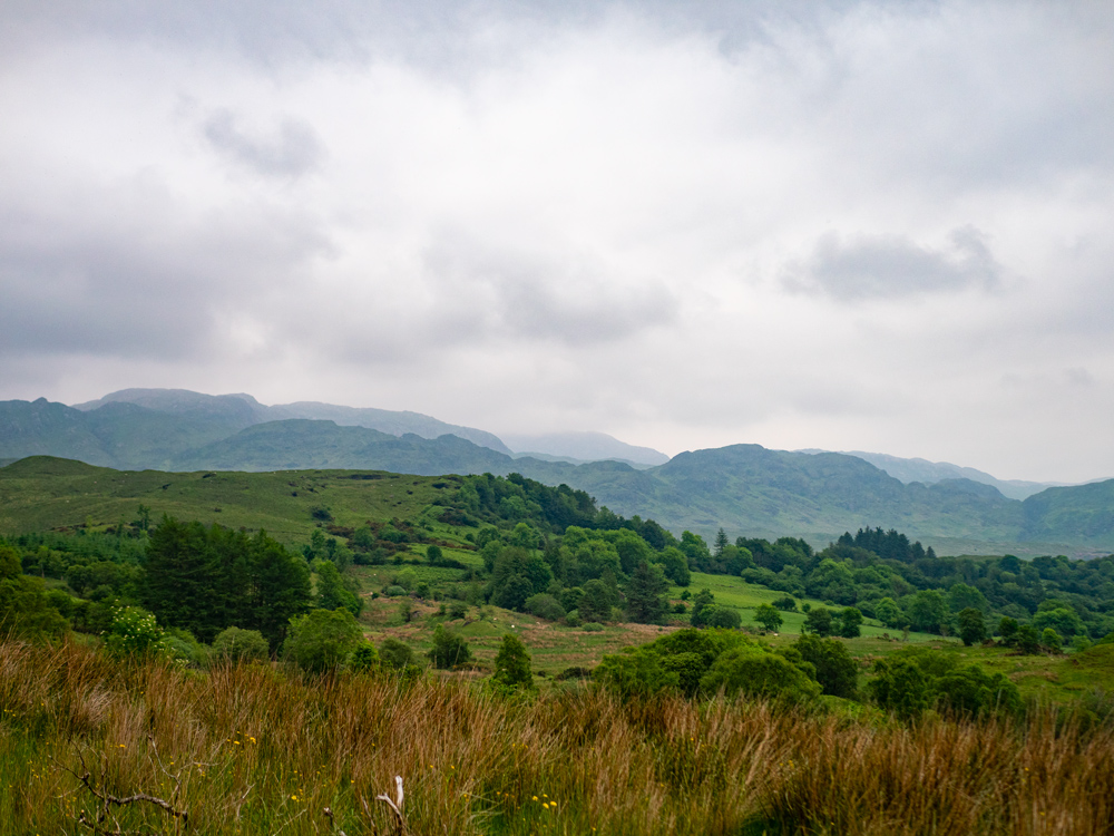
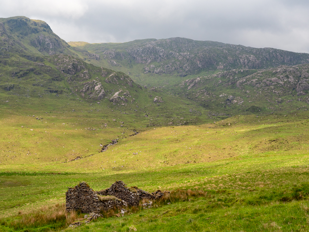
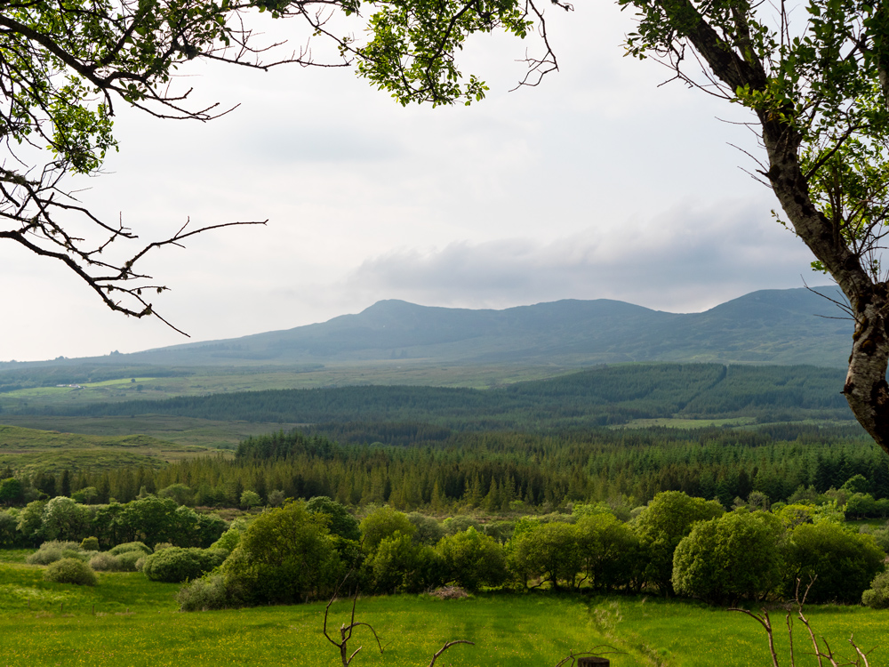
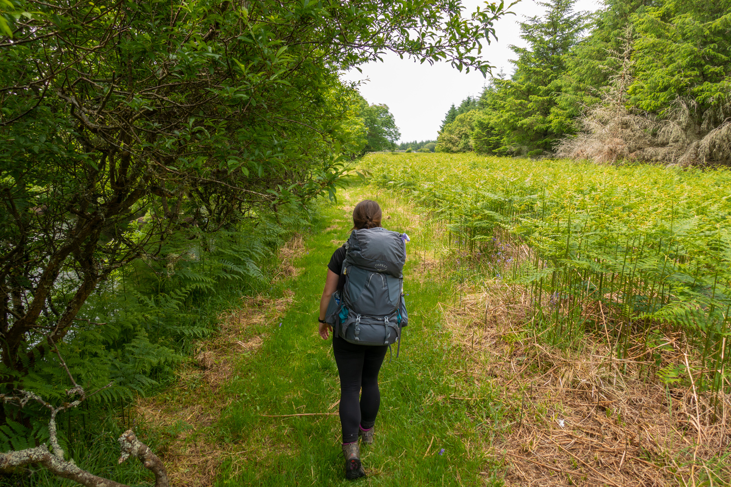
The heat continued to climb as we did, the clouds turning into a general heat haze. The road does become more "track-like" as we continue, and once we finish climbing it bends around a forest and opens up into a valley edged with the actual Bluestack Mountains. The grassy bogland around is dappled with sunlight from the fast moving clouds, and the heat is doing that magical thing where things look bigger and closer than imaginable. Our semi-track becomes more road like again, and we briefly enjoy crossing some sheep fields before returning to tarmac again.
In the late afternoon we reach a bog, and take a break lying on the dusty, spongy lane. Carl forget's how the volume of water bottles work, and tries to pour a litre of water into a litre bottle that isn't empty. Somehow, he manages to flip the bottles quickly and slam a lid on, not spilling any of the precious liquid. We sit there in mild astonishment, then take a nap.
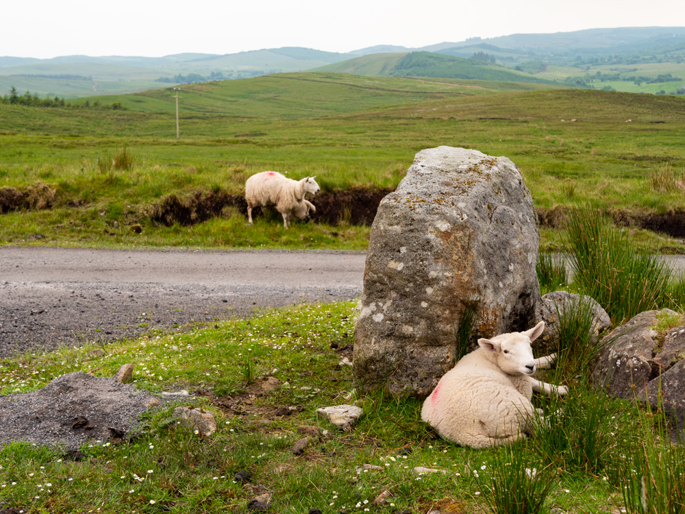
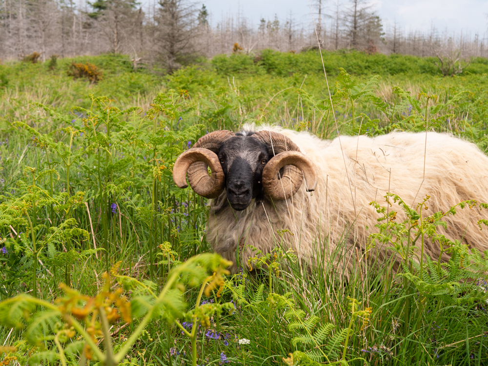
We pass a family working in the bog, and get some friendly waves, and less friendly dog barks.
A few kilometres later, we come to a split in the road. The trail officially continues to the right, but we head left, and walk 3 or 4km down to the Bluestack Centre. The centre is a community hall on the ground floor, and a hostel upstairs. Being a week day, we had the place to ourselves. There's no shops in the area, so we sat in the empty kitchen and ate a fruit cake. The mattresses were comfy, and we went to bed early.
Day 2: Bluestack Centre - Glenties (17km?)
I feel at this point we need to accept that all our starts are going to be late ones, no matter our intentions. We got moving, and instantly regretted not starting before the sun was up. It was sweltering.
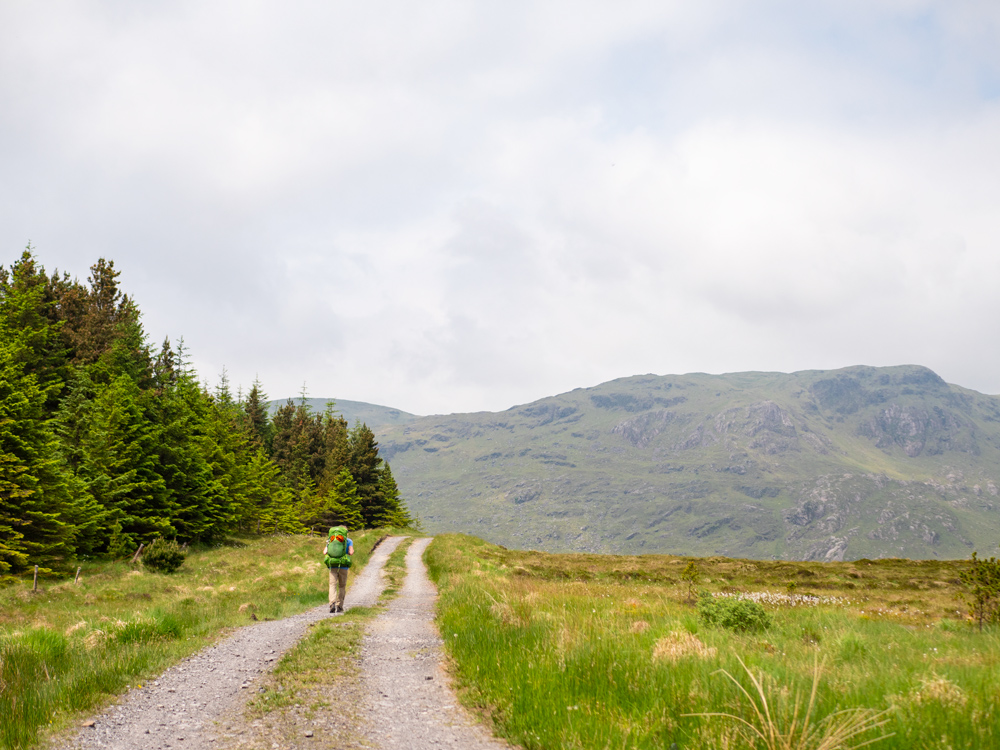
After a trudge back up to the trail, we set off along empty roads that criss-crossed the hills. We always seem to manage to walk more up hill than downhill. As we sit on one specific hillside enjoying the fresh breeze that had appeared, we suddenly realised that this freeze we really a curse in disguise - all the remaining cloud cover floated away. Beating down on us was a strong, stubborn sun. This was only the start of the day.
I would like to be able to write some pleasantly descriptive words of the small mountain we proceeded to cross, but all I really remember is struggling to breath as I slowly baked with each step I managed (or more poignantly; didn't manage) up and over this mound of earth. The going was good (a dried out bog, with not a spec of tar or hard core to be seen), but the weather was relentless. I think hiking is a very goldilocks kind of activity: not that great in the rain, but you don't actually want too much sun either. Especially if you were planning on spending 10 hours in it.
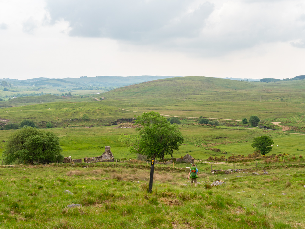
Originally we'd thought we might be able to squeeze out a big day and finish the trail. It was a few kilometres on (after a small road section), as we wandered along this small trail beside a forest, that we decided to look for places to stay in Glenties. We just needed to sit inside, in the shade for a bit, before one of our heads exploded. We scoured google maps and chose Brennan’s B&B. We called, and they had space. In a daze, we continued along the lovely trail, sheltering in any shady spots we found (that weren't already inhabited by sheep). After a while, the trail opened up to show us that we were in fact on the top of a hill, and looking down at the small town. Relieved, we wearily walked the last few steps. As we crossed the main street the flashing sign outside a pharmacy caught my eye. It was flashing a bright red 28ºC across its scrolling screen. And this was in the evening. I wondered what the temperature had been like as we crossed that mini mountain, and felt more justified in both how tired I was feeling, and in booking somewhere to stay.
Day 3: Glenties - Ardara (10km)
Before I finish up this trail, I have to talk about Brennan's B&B. We are no strangers to staying in any and all kinds of accommodations (the tent just needs a break every now and again). In the vast majority of places, the breakfast is a Full Irish Breakfast. The firs t few times you eat one, you appreciate the fat, the calories, the meatiness, everything. After you've had a few, it starts to loose it's appeal, and the idea of sliding another slimy sausage down your gullet just looses all appeal. I'd like my arteries to keep pumping blood, thank you very much.
However, as we were gulping down some coffee the evening before and just lying on the cool floor, we were given menus for the following morning. You will not believe how excited we were. We ate the most amazing breakfast that fine morning: porridge, smoked salmon and scrambled eggs, finished off with surprise mini pancakes with maple syrup. If I'd known how big the portions were, I wouldn't have ordered so much. It was all delicious. And there was not a single full Irish in sight. It was so fantastic to have other breakfast options. I could go on, but I'm afraid of running out of positive superlatives.
Also, this B&B was well used to the walker our outdoor adventurer, and had information about the local area radiating from them, no matter the sport.
The walk from Glenties into Ardara was a very gentle and relaxed affair. The route follows the winding course of the Owenea river, and we twisted and turned with it for a beautiful 10km grassy trail. We also regularly stopped to take photos, sit, eat, nap, and sit. It was perfect walking, I think possibly so well maintained because of all the local fishing. I don't think we could have asked for a nicer finish to our first trail in Donegal. The temperatures were still high, but with such a short day we weren't worry about pushing ourselves.
Reaching Ardara, we went in search of more coffee.
If you like our blog you can subscribe to it here!
If you really like it, you can support us on Patreon