
Overview
Distance: 15km
Format: Looped trail
Time: 3 - 5hrs, depending on how long you want to explore!
Parking:
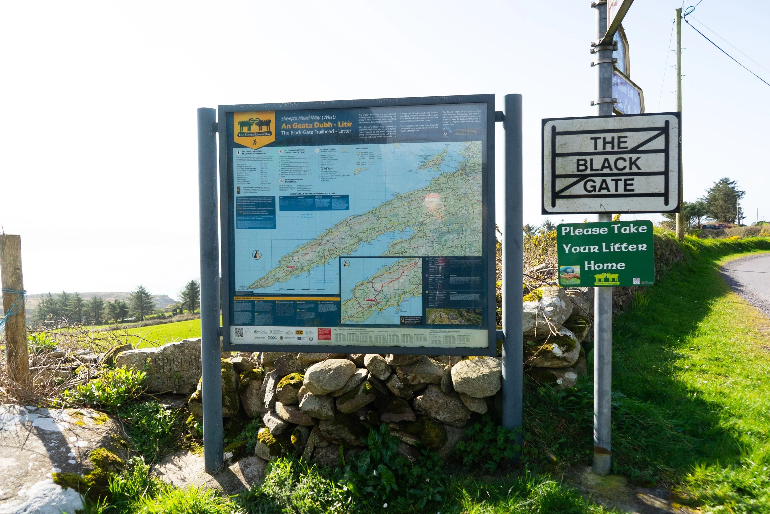
We began our loop in Letter West at the Black Gate Community Centre. For parking, we went just slightly down the road to a small parking area that can fit 5 - 10 cars.
If you’re looking to start the walk from the eastern end, up in the pass between Caher mountain and Seefin, there is space for a few cars at the Wild Atlantic Way Discovery Point.
Trail difficulty: Moderate
This route is a combination of a few different trails - so while you are on a way-marked path the whole time, you need to maintain your own awareness of when you need to turn onto a different path. Along the ridge and other off-road sections the ground can be very boggy, with very little built trail underfoot.
Read how we rate trails here.Trail quality: 5/5
I love the Sheep’s Head Peninsula and the incredible work that’s been done to develop the trail network that encompasses the whole headland.Views: 5/5
While the hills are technically small, they feel much larger than they are, and give fantastic views all around.Buggy/Wheelchair friendly: No
Dogs allowed: No
When was I here: March 2026
External links:
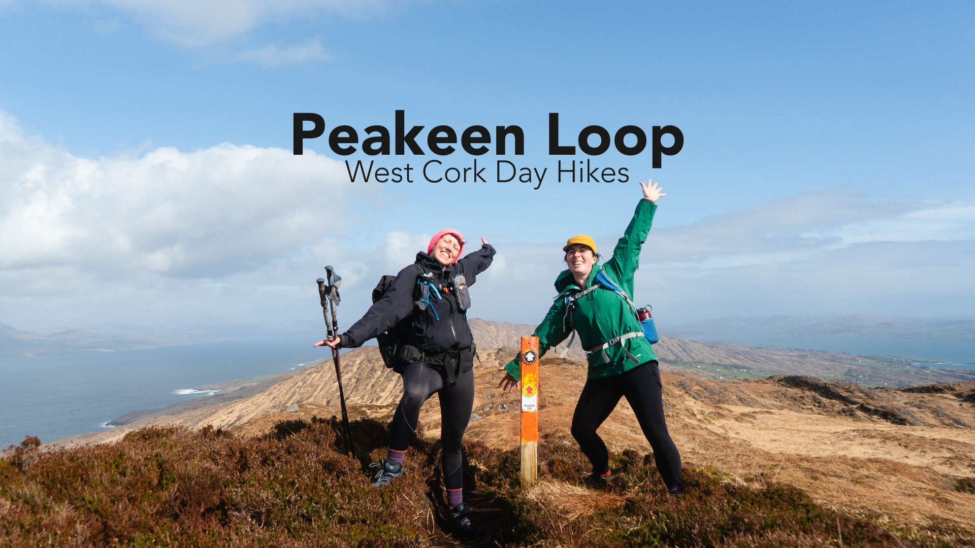
The Sheep’s Head feels like a secret. The smallest of the peninsulas on the south-west coast, these hills are covered in trails that link together and spread like a net cast wide. I’ve been here a few times; many moons ago to walk The Sheep's Head Way; for a long weekend to do my Lowland Leader Training; and for brief moments when on the way to visit far-flung friends.
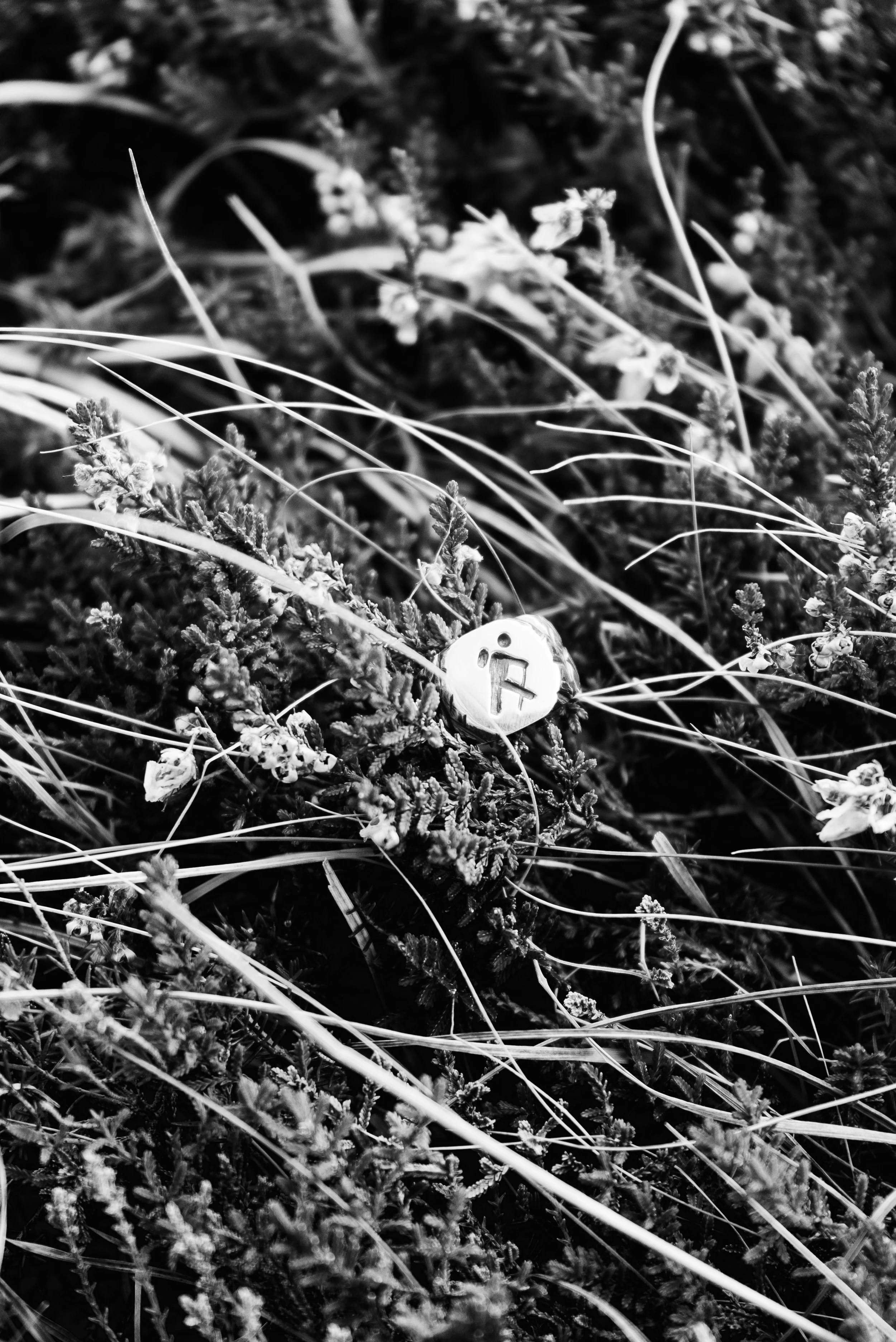
So when the opportunity arose to spend another day down there, I jumped at it. My reason for coming to West Cork was to visit Leika, The Wandering Goldsmith, who I was collaborating with to make the Slí Signet. All our planning and ideas had so far been done over texts and voice notes. Now I was going to get to see the ring in person, check out her workshop, and take some photos of the finished product out on the trail!
The loop we decided to do was one of Leika’s favourites, and I was immediately sold when I saw it took in the ridge line of Caher mountain. I divide the ridge line of the headland into three sections:
Easterly section: from Knockboolteenagh to Glan Lough (223m)
Mid section: Glan Lough to Kilcrohane, taking in Seefin summit (345m)
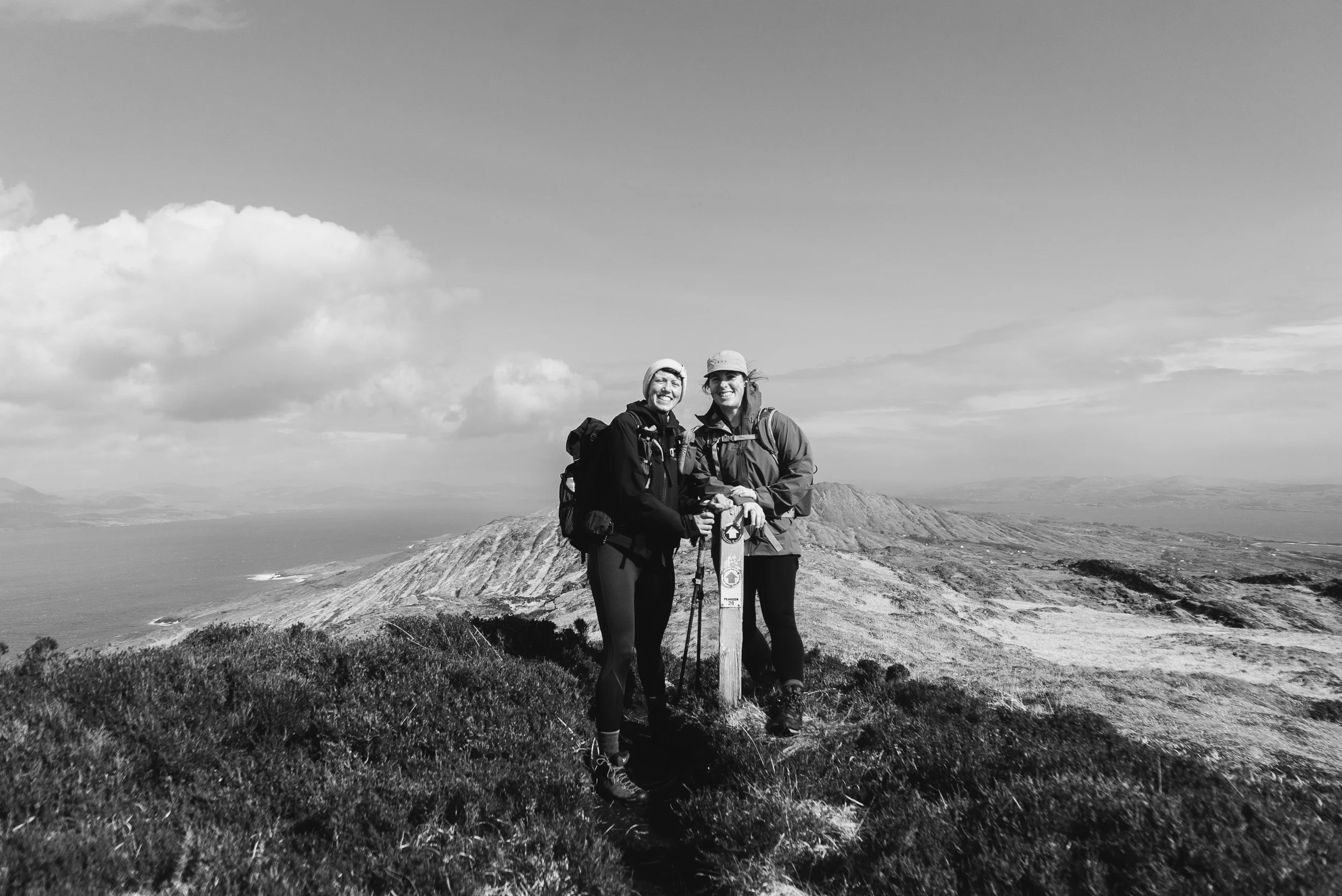
Westerly section: Kilcrohane to Letter West, taking in Caher mountain (338m), known as the Peakeen Ridge Walk
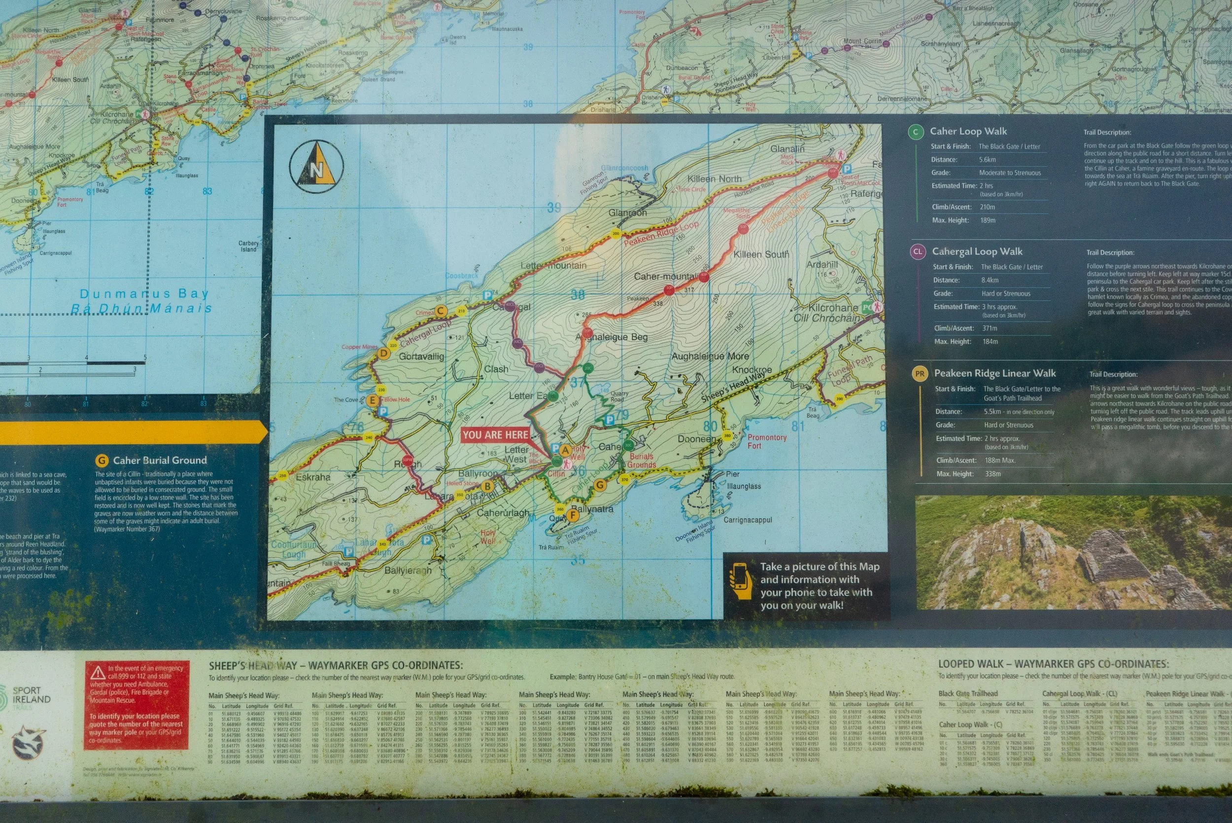
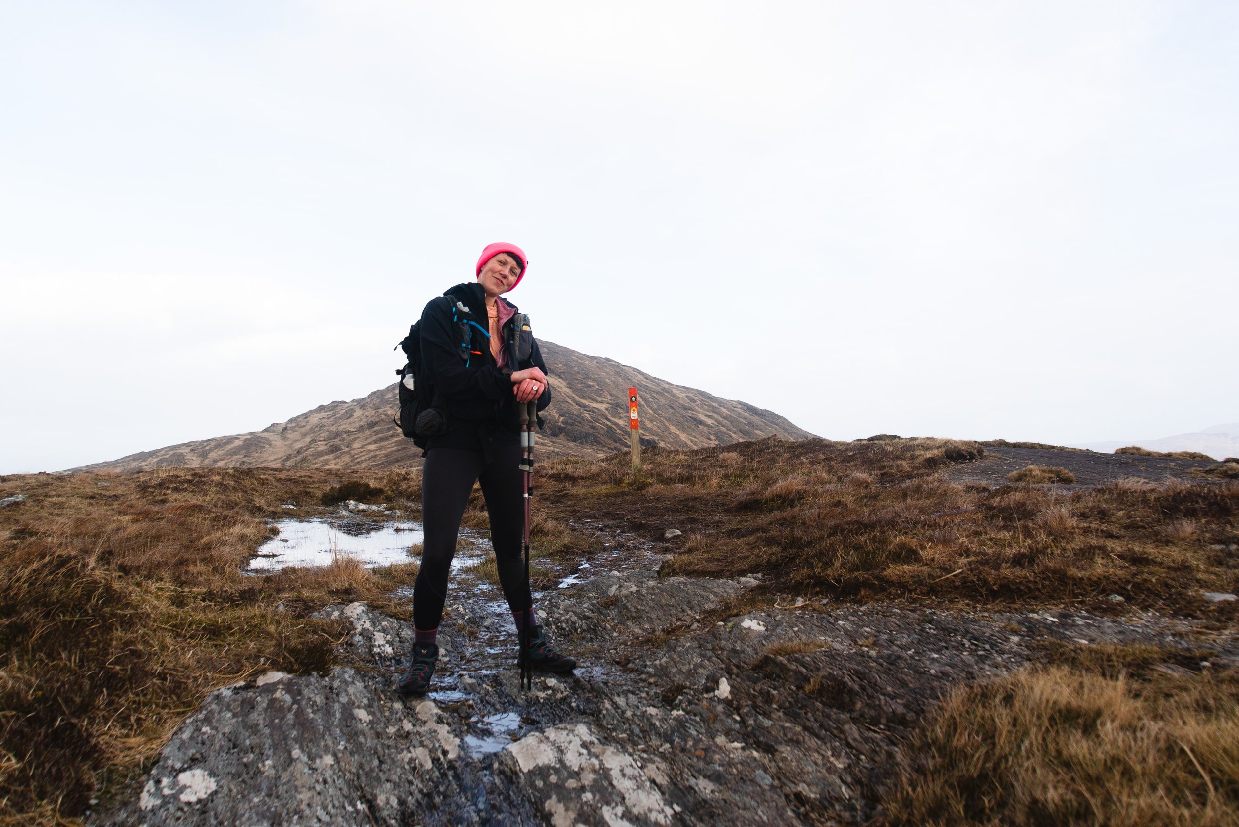
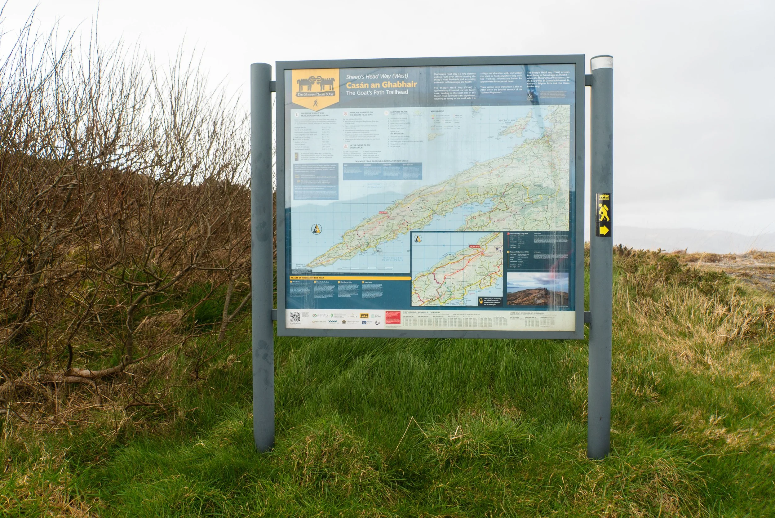
This third option is what we walked, starting in Letter West outside of the Black Gate Community Centre. Leaving the info board, it’s straight into an uphill climb along a short section of paved road. We then crossed over a large stile onto the hillside, and walked up onto the ridge heading NE.
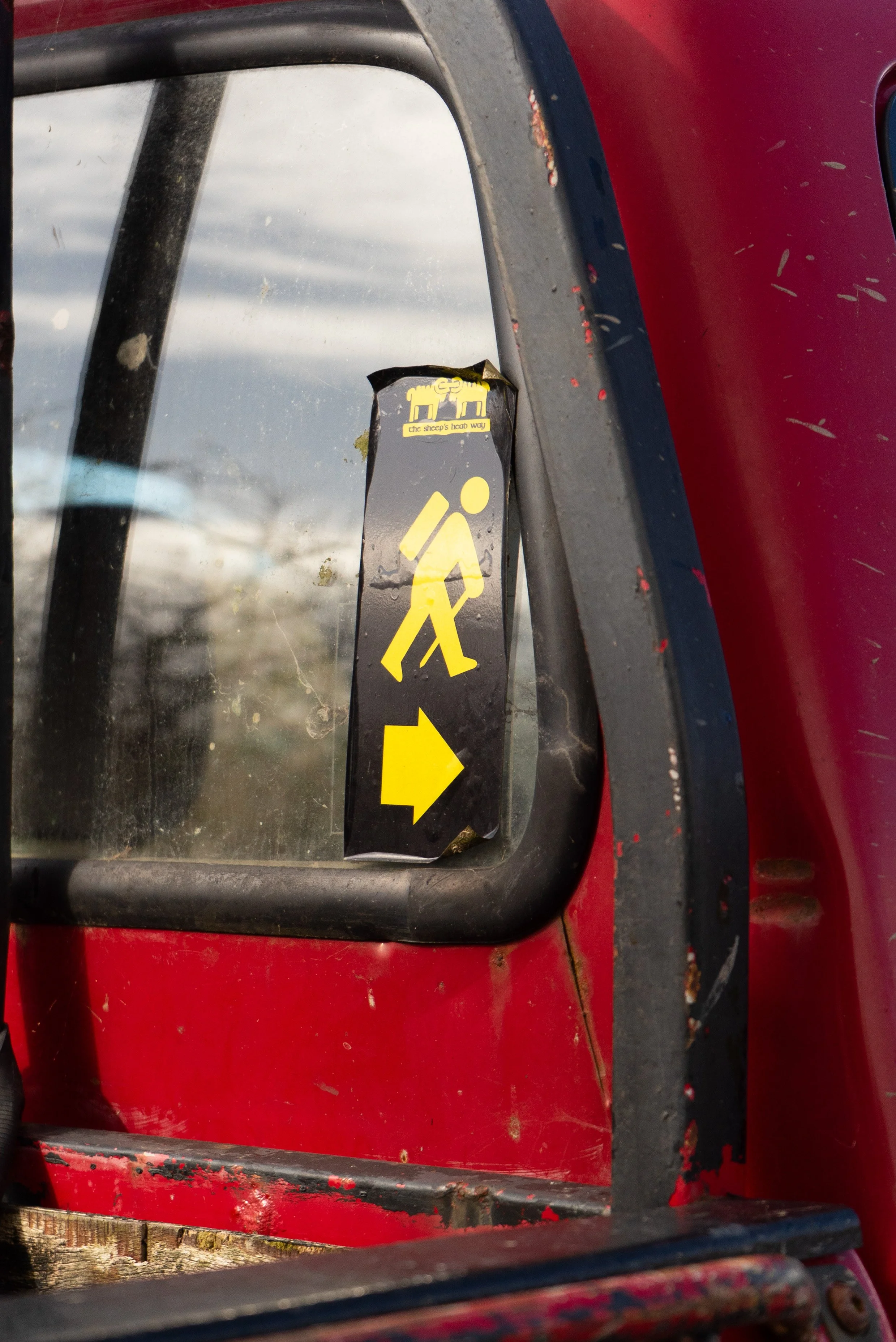
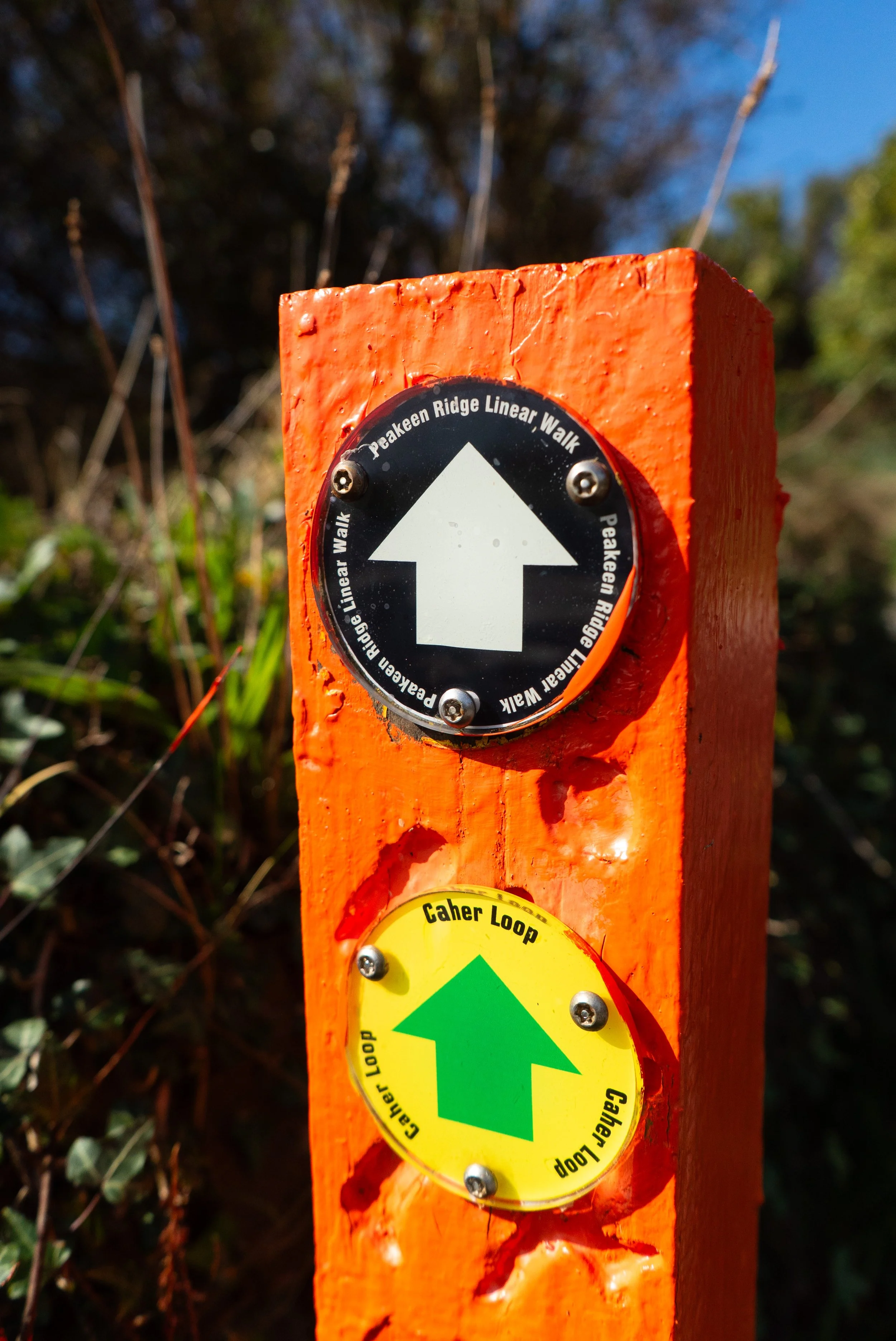
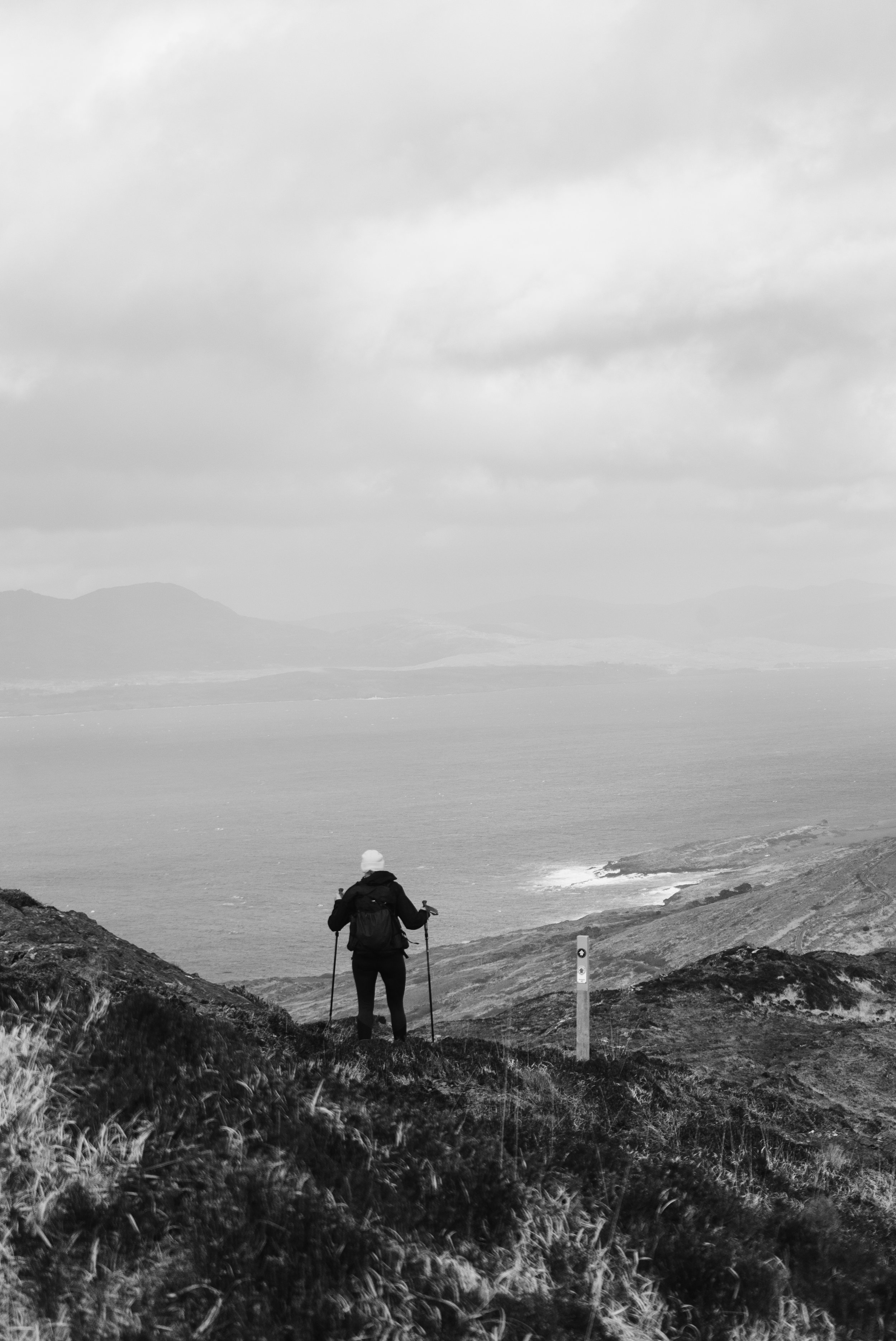
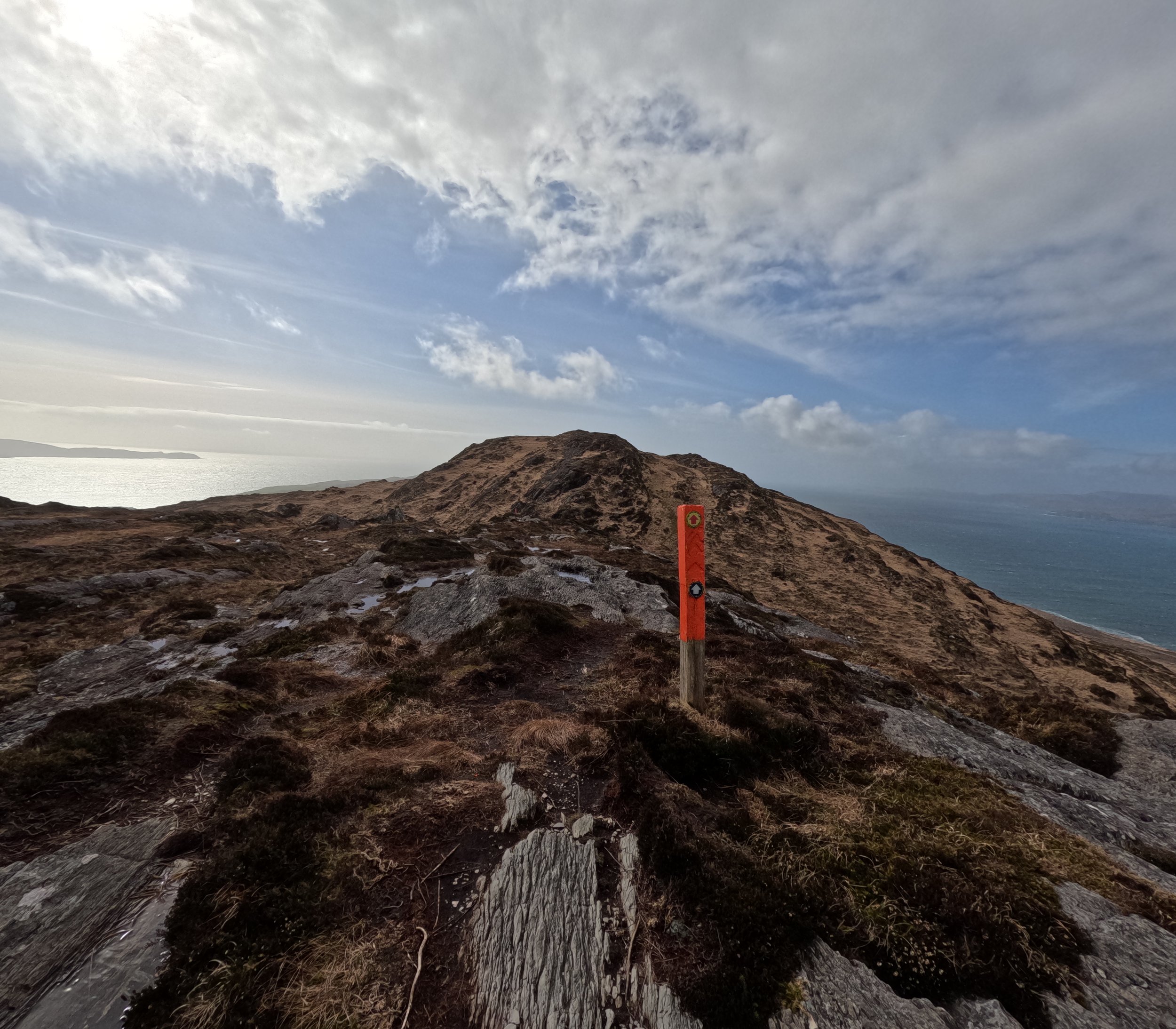
The waymarking in the area is extensive. There are so many different loops, linear walks, and thru-hikes that you can follow. There are so many in fact, that it’s easy to not pay attention for a moment, and continue along a trail you didn’t mean to follow. We were primarily following the black and orange waymarkers to make this loop.
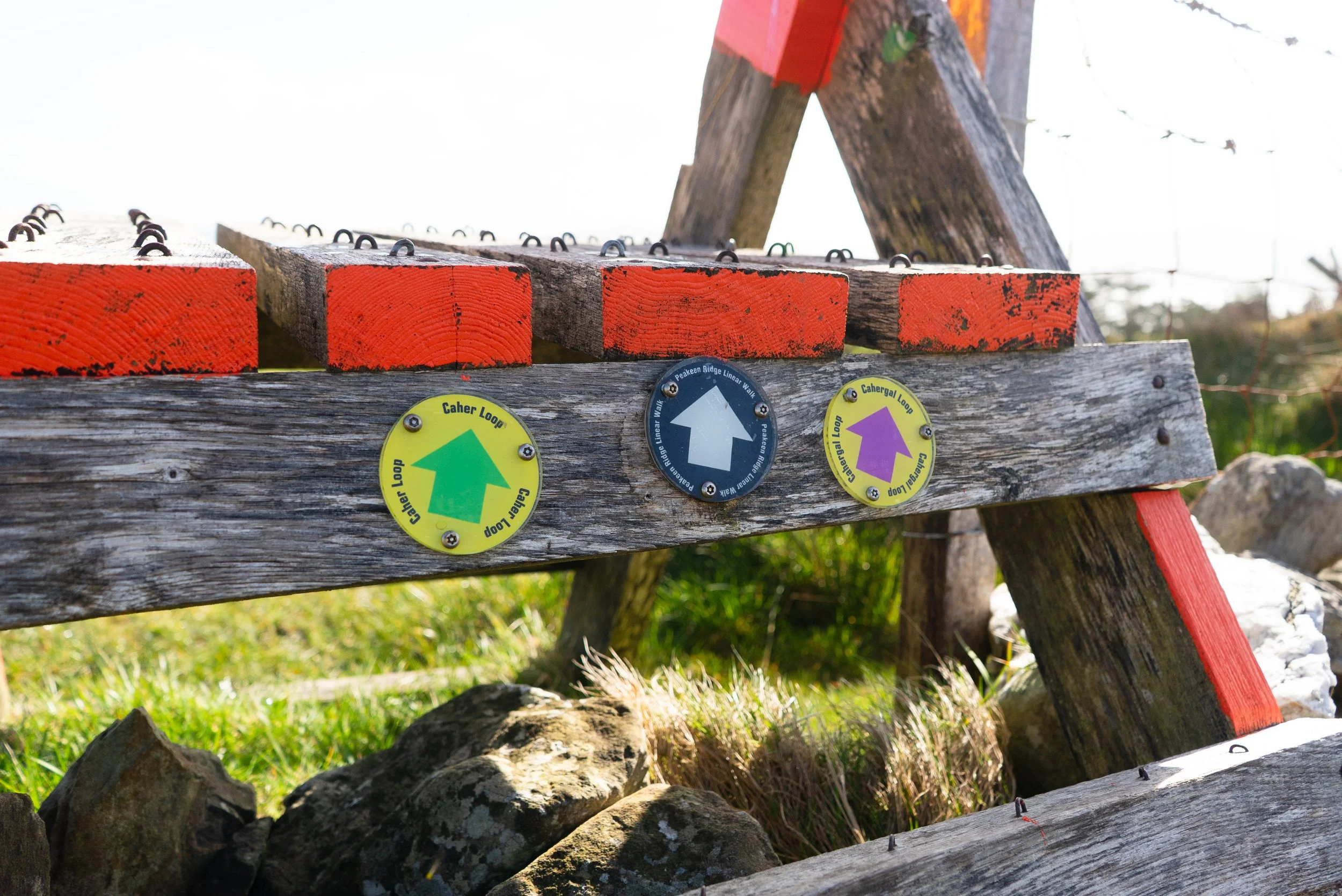
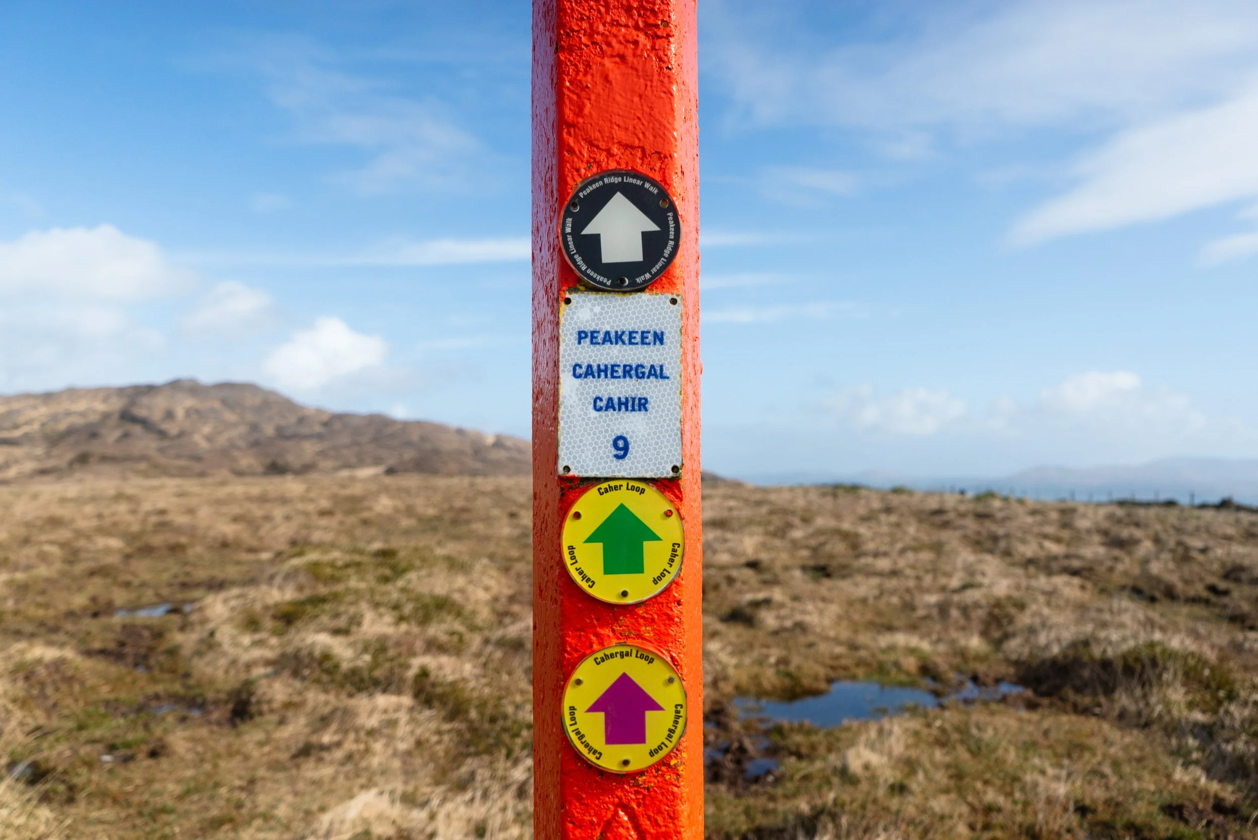
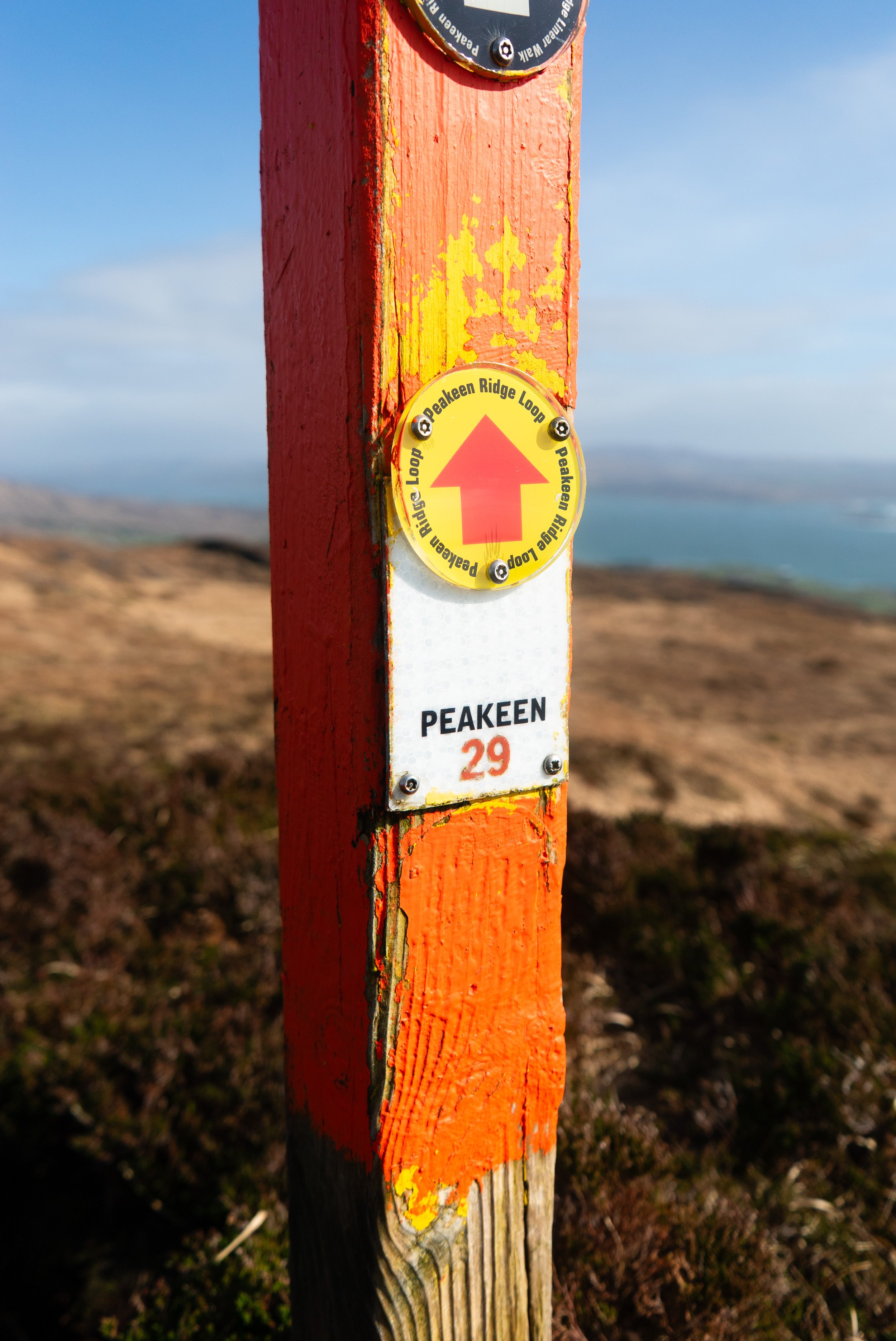
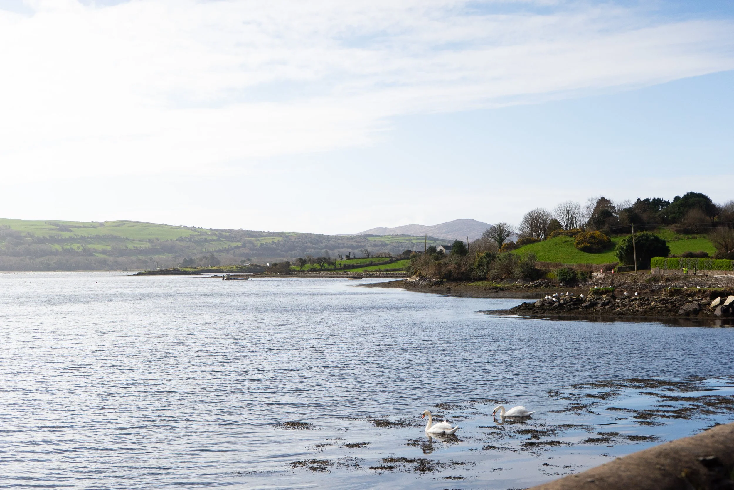
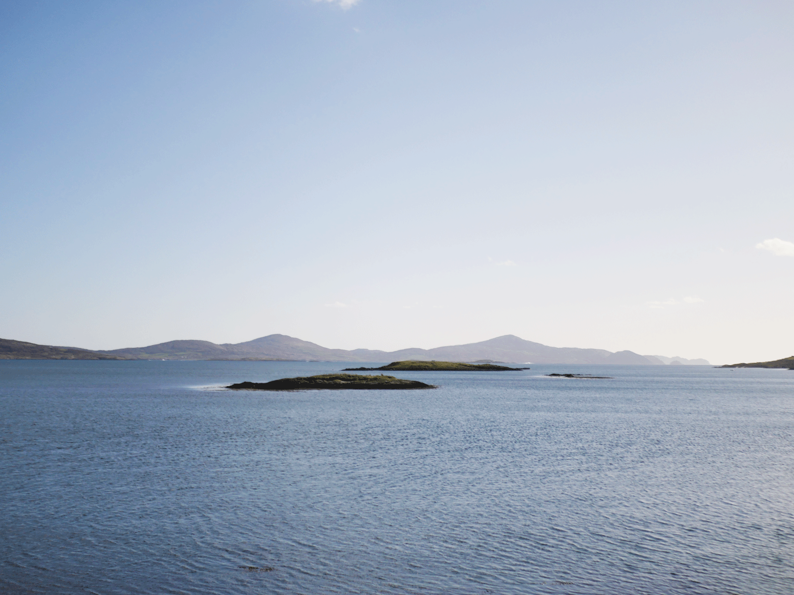
Sitting so westerly, the ridge can be quite exposed, and being an early March morning we had a few showers blow through, the wind a constant companion while we walked. Looking north the skyline is filled by the Beara Peninsula, as well as Bere Island and Whiddy Island.
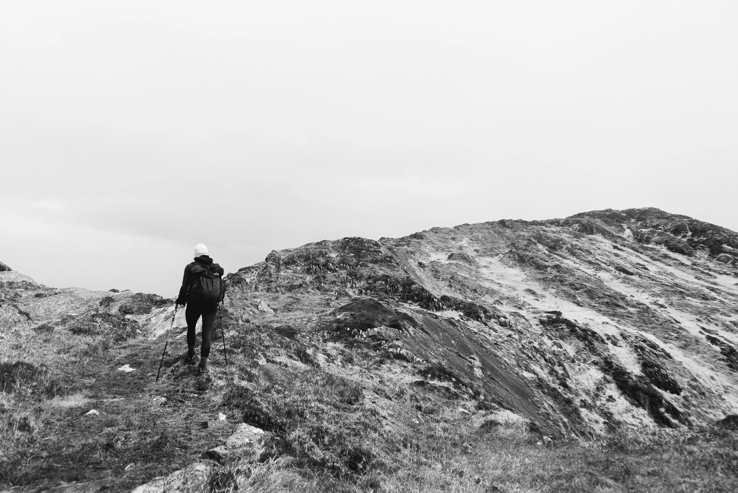
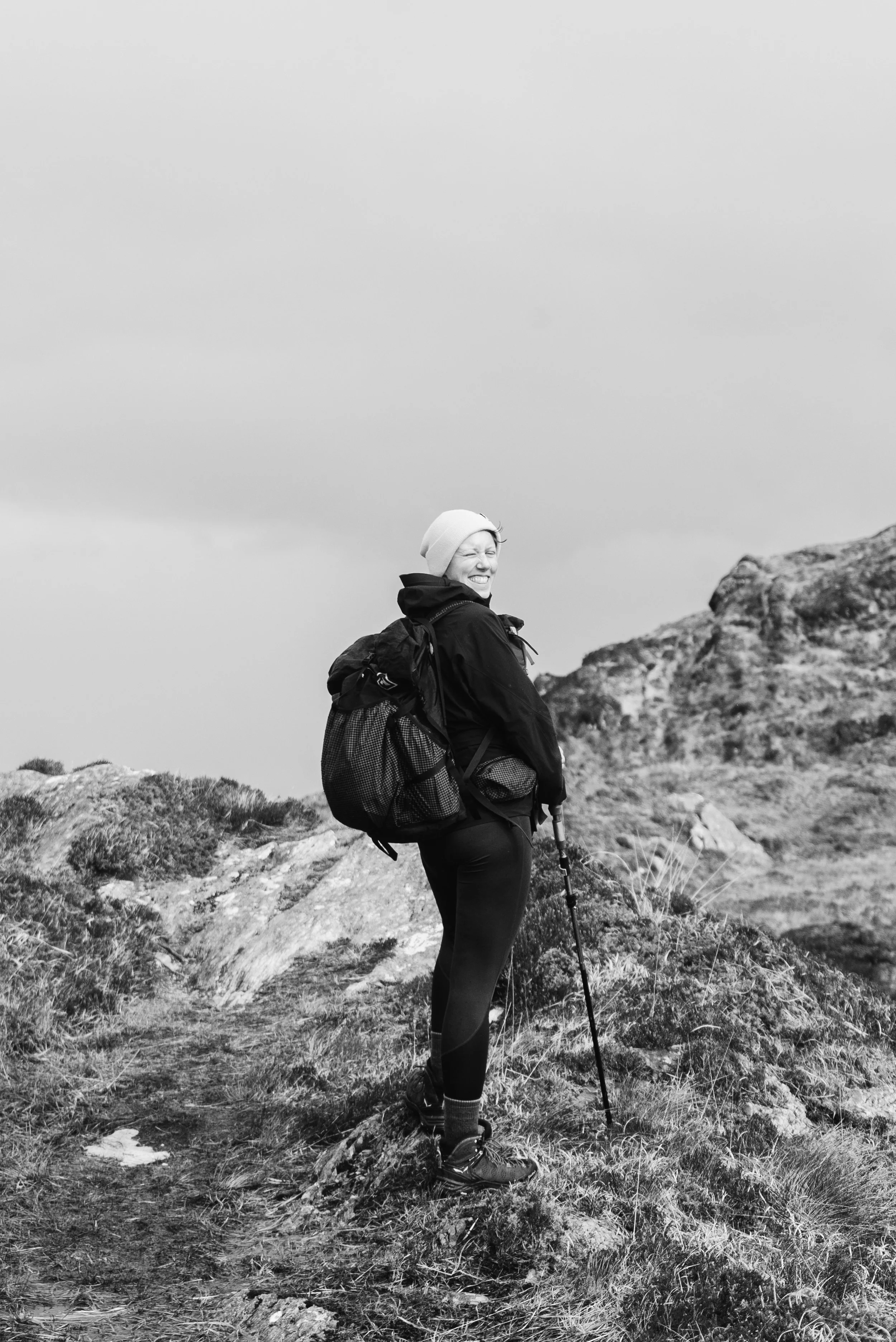
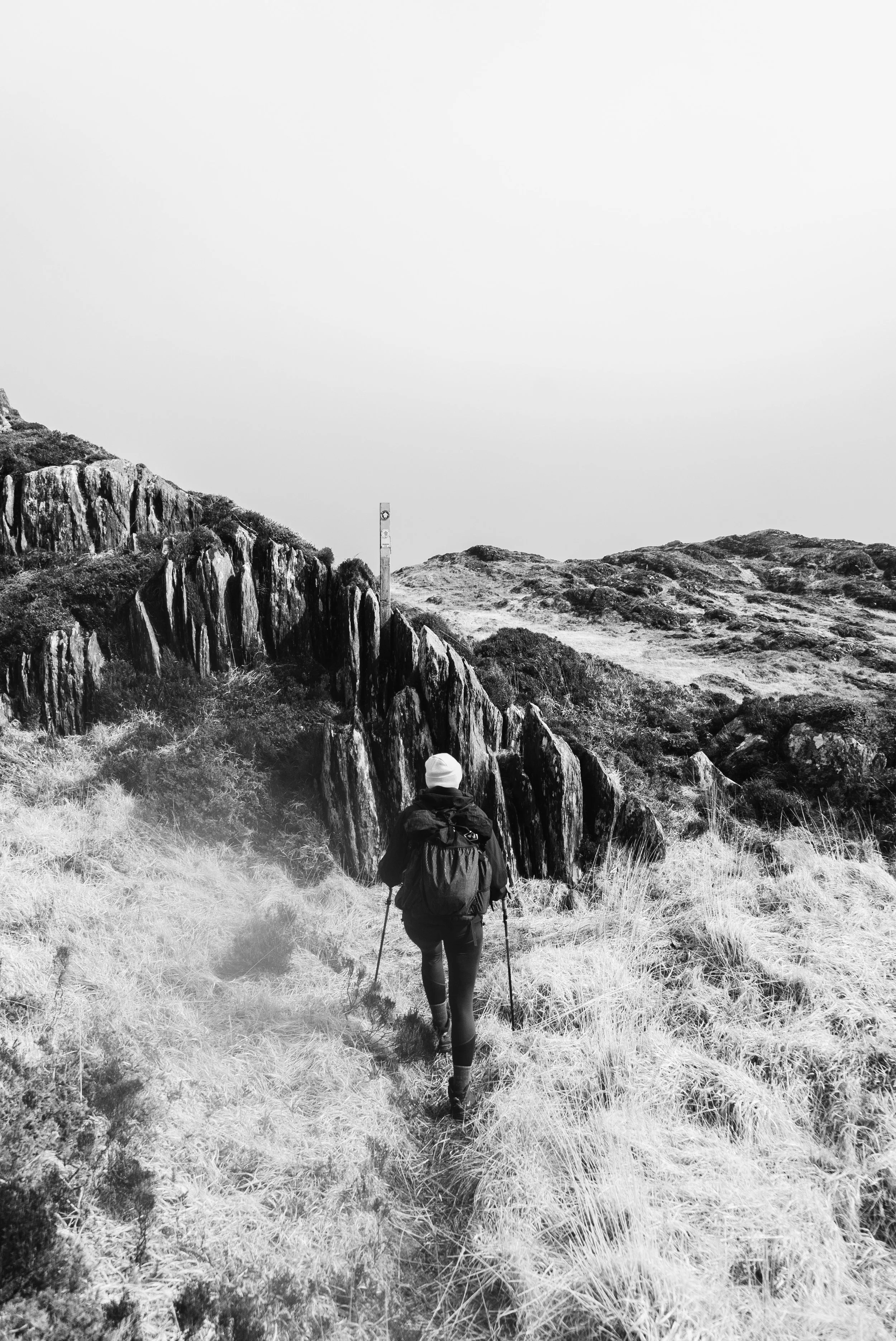
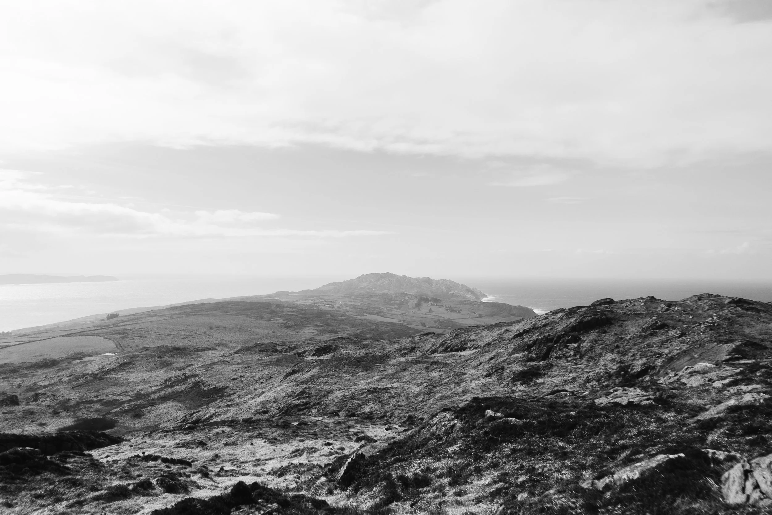
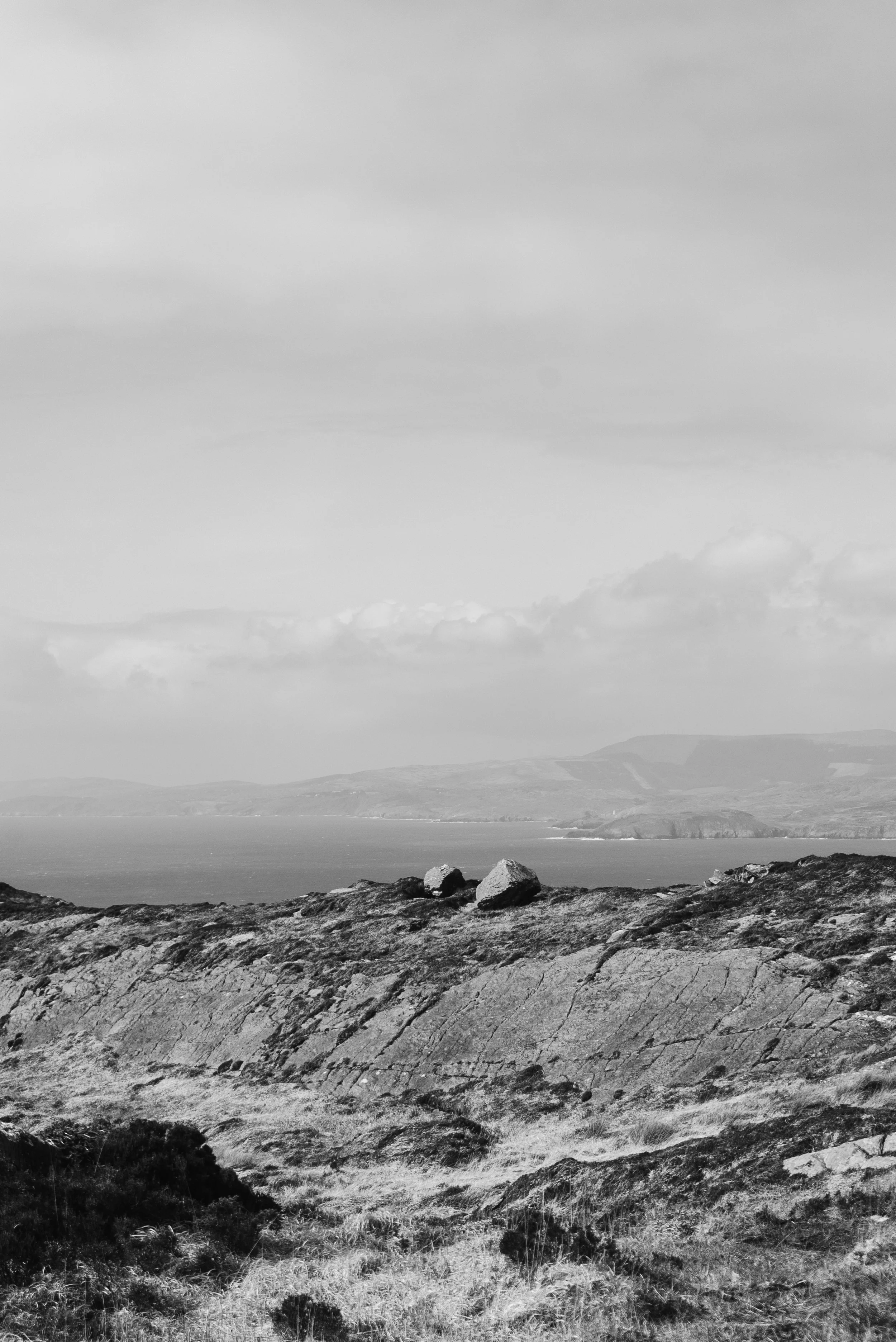
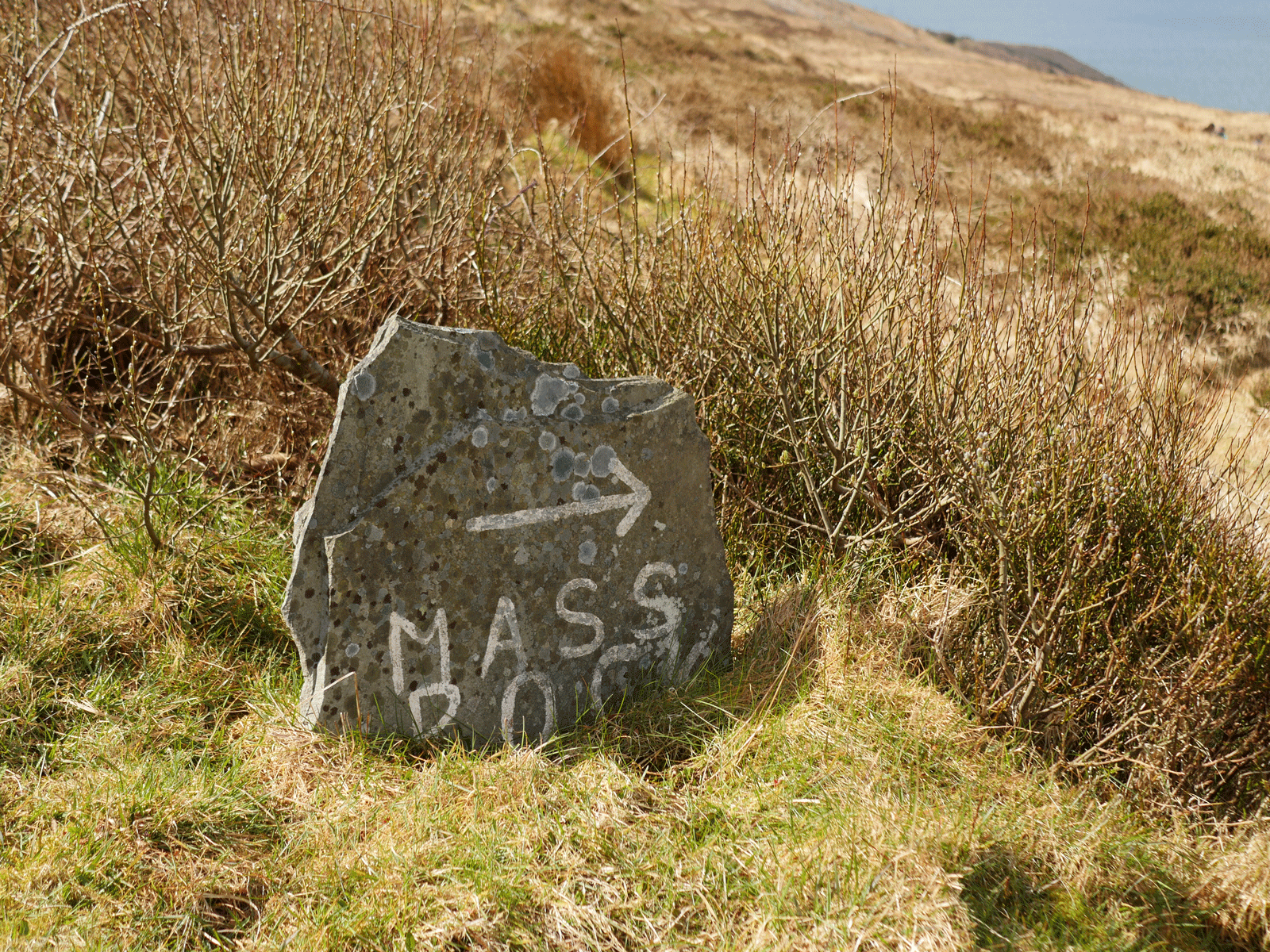
When you reach the small road through the minor pass, head left and left again at the first turn in the road, heading for the Mass Rock and the Horse Shoe Road (Sheep’s Head Way signpost). After a few hundred metres the tarmac recedes and the path becomes wilder. Nice and sheltered by the hillside, this path still offers fantastic views with more accessible walking than the ridge trail. I’m pretty sure one or two of my favourite stone waymarkers are along this section. The handmade elements of the trail infrastructure here really add a sense of constant care and love by the local community.
After a couple of kilometres, you reach the Horse Shoe Road. While a road that cars can drive, it is almost more grass than tar in many places, and is very quiet.
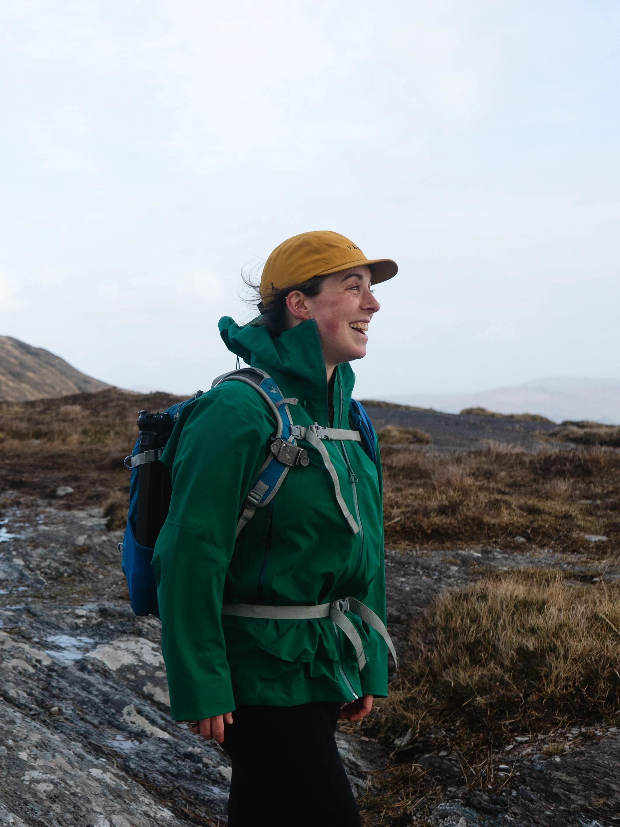
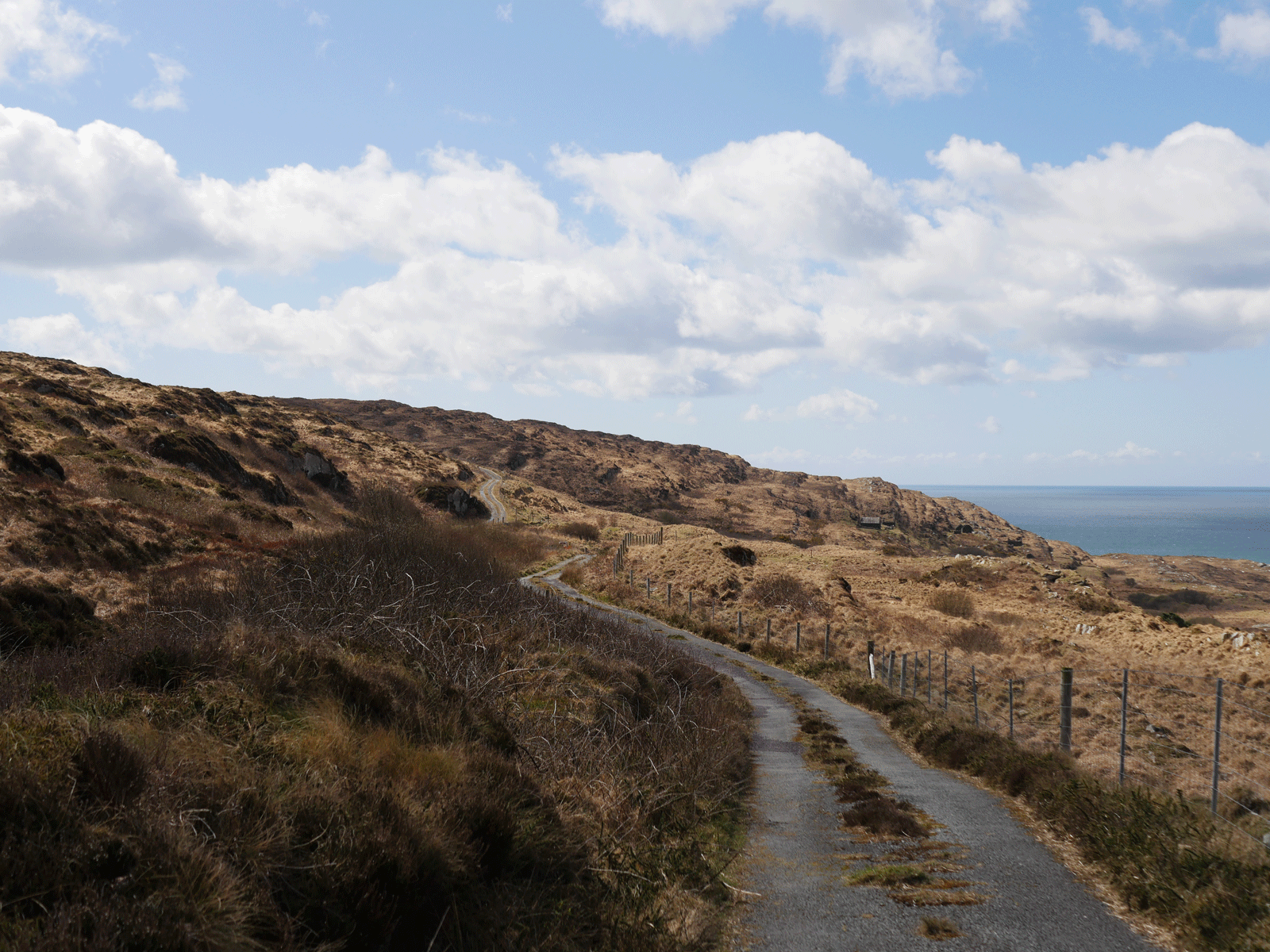
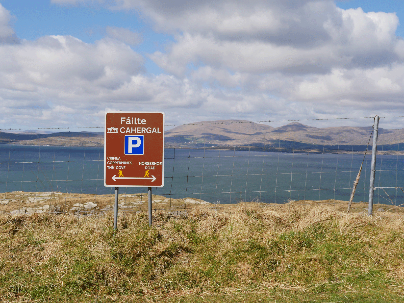
As you walk along the Horse Shoe Road, you’ll come to the Cahergal trail junction. You have several options to make it back to Letter West. We stuck to the Horse Shoe Road, which takes a wider loop around but is easy walking. However, you can take the right-hand trail heading up the hillside, climbing up and meeting the trail from the very start. This is a kilometre or so shorter than the road.
Making it back to the car, we managed to get packed away before the next rain shower hit. Fingers numb and cheeks flushed with wind burn, my heart was full as we drove back to Clonakilty. This was something of a perfect day out. Thanks so much to Leika for hosting me and sharing the trails - I really enjoyed getting to take photos of our ring, and see one of my favourite places again.
Further exploring
Check out all of the trails organised by county here.
The Sheep’s Head Way Website has incredible resources for all the trails on the head and in the wider area.
Other trails in the area:
Favourite Local Coffee / Food Options:
Brew, Skibbereen
O’Neill Coffee, Skibbereen
Drip Coffee, Rosscarbery
Wazzy Woo, Clonakilty